Elevation of 81 Main St, Rose Blanche, NL A0M 1P0, Canada
Location: Canada > Newfoundland And Labrador > Division No. 3 > Rose Blanche-harbour Le Cou > Rose Blanche >
Longitude: -58.688455
Latitude: 47.6151283
Elevation: 52m / 171feet
Barometric Pressure: 101KPa
Elevation Map:
Satellite Map:
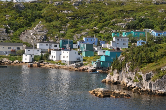
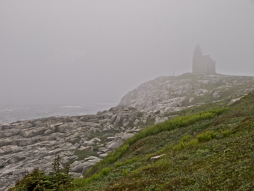
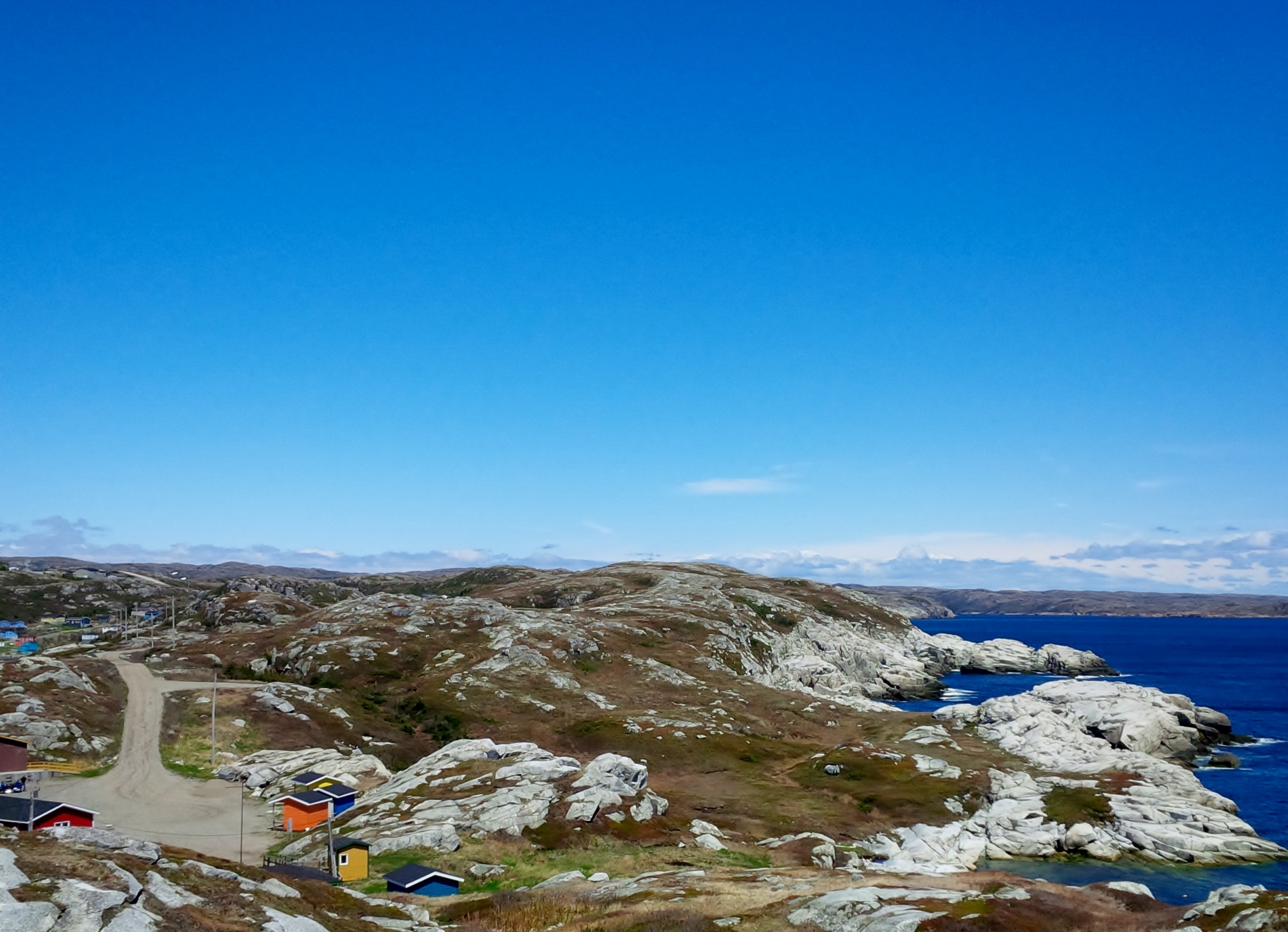
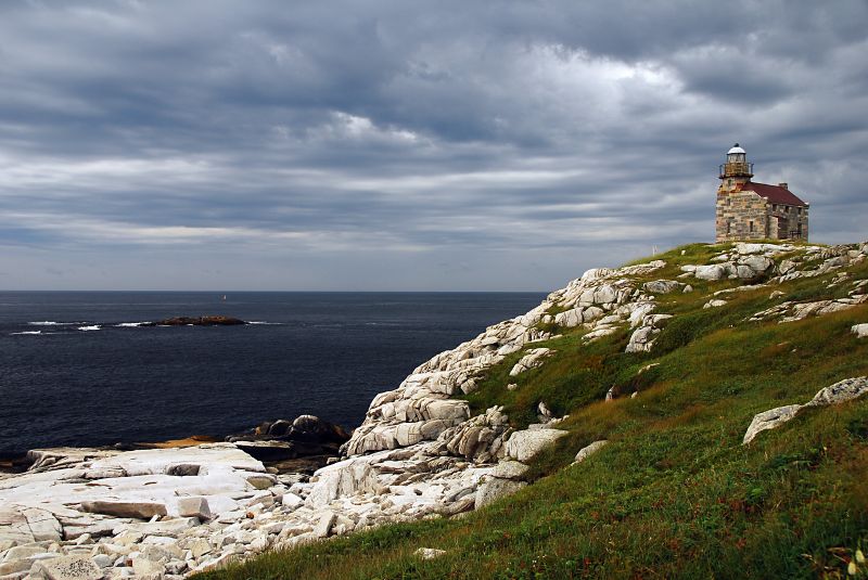
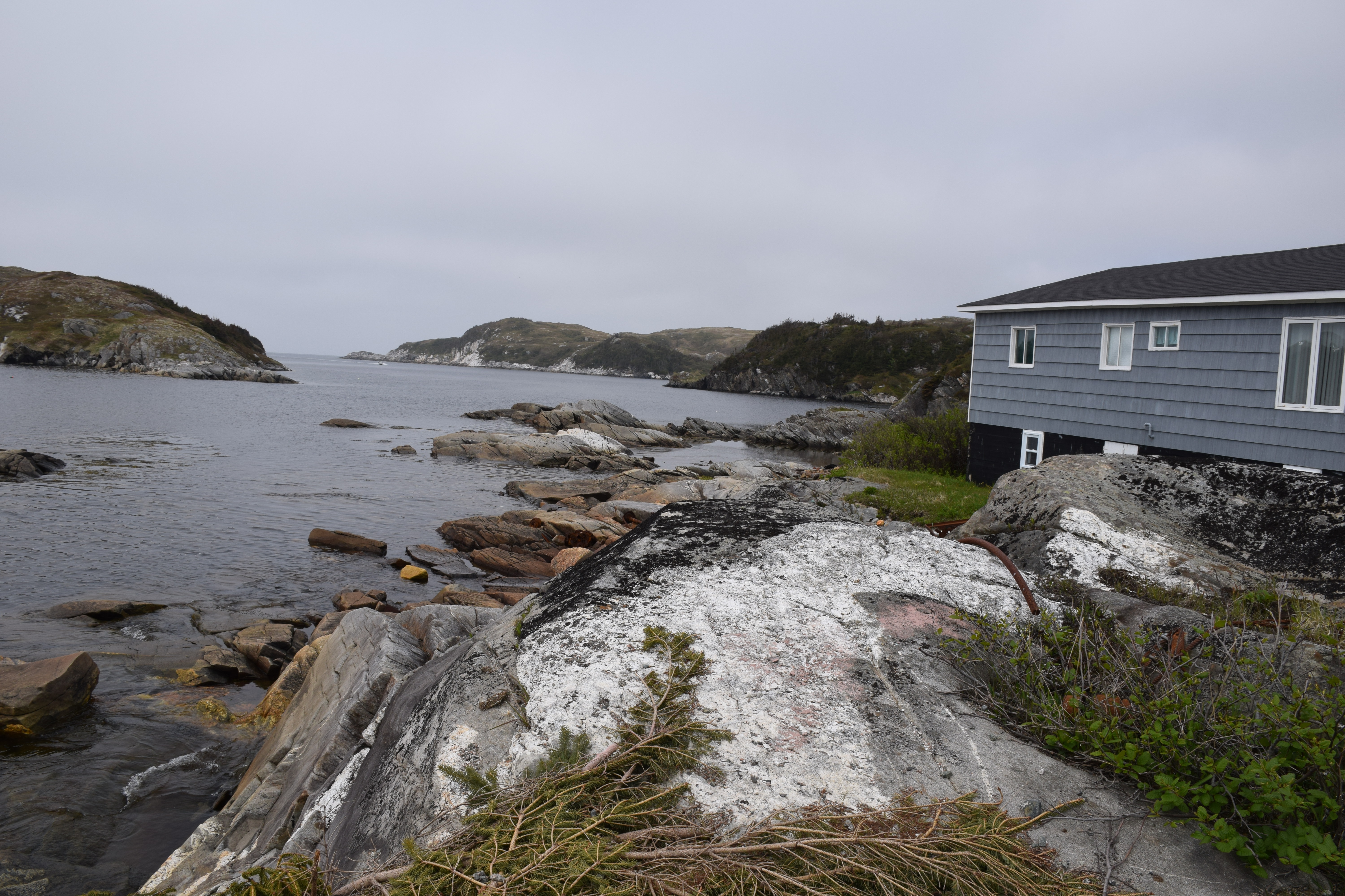
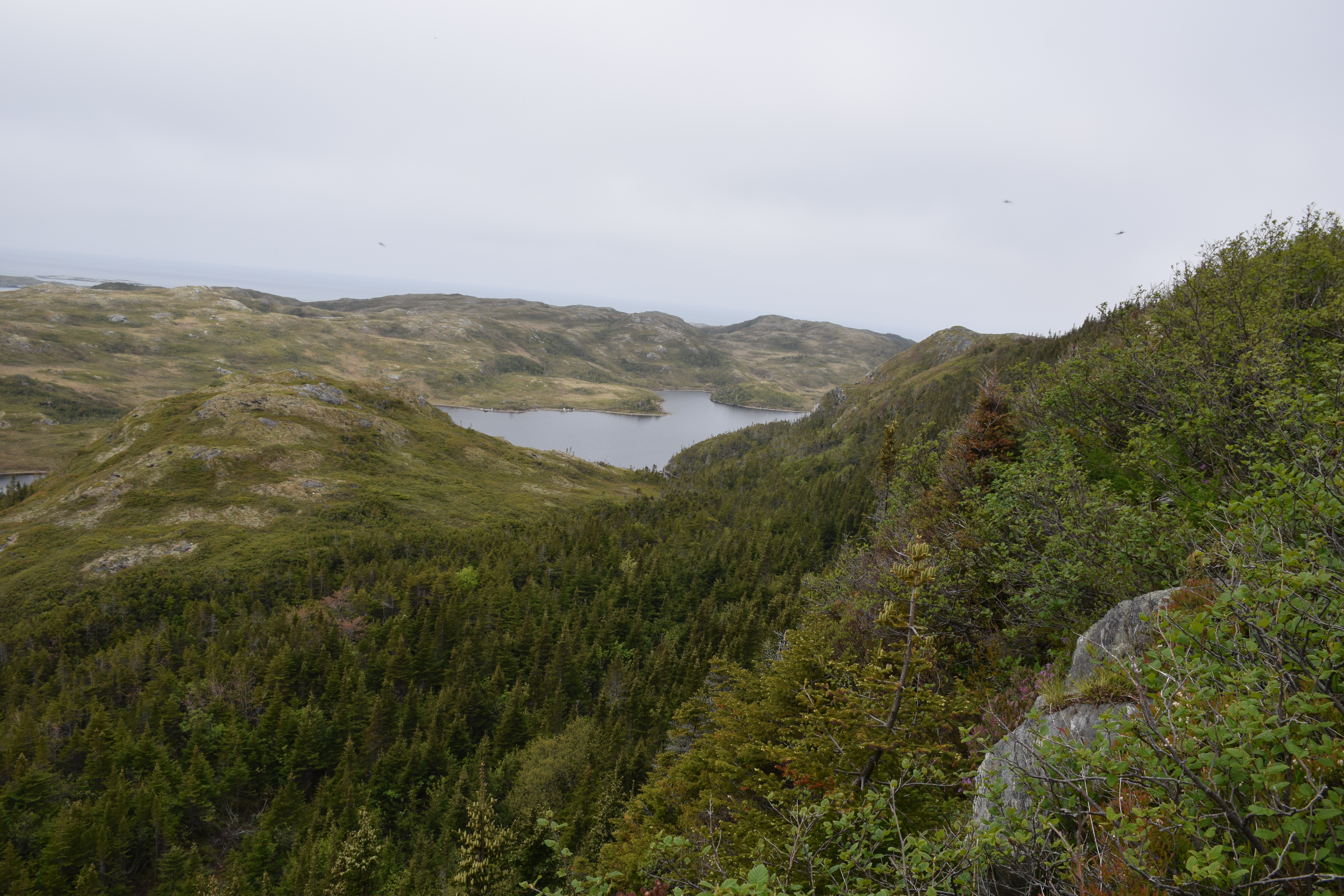
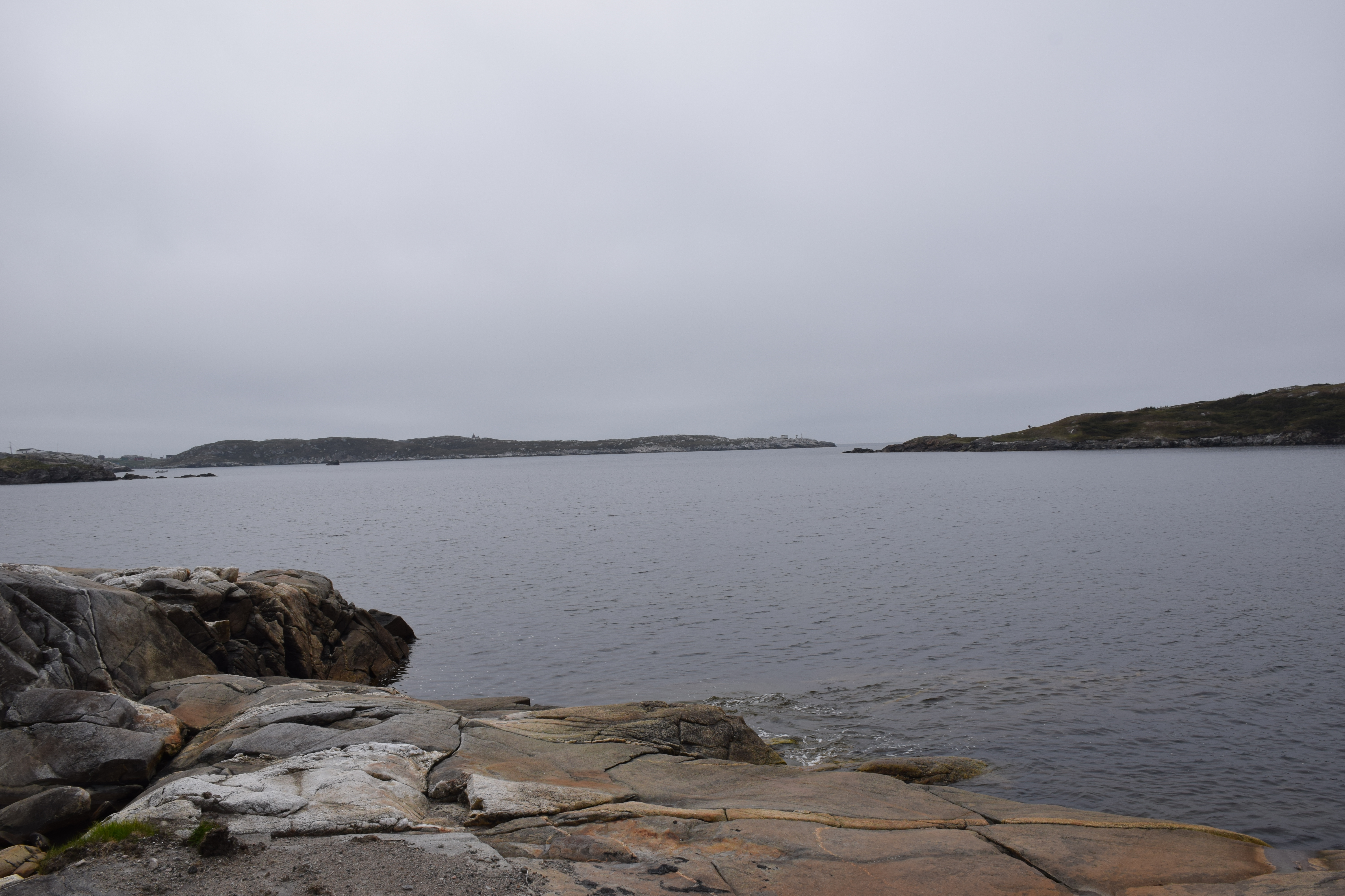
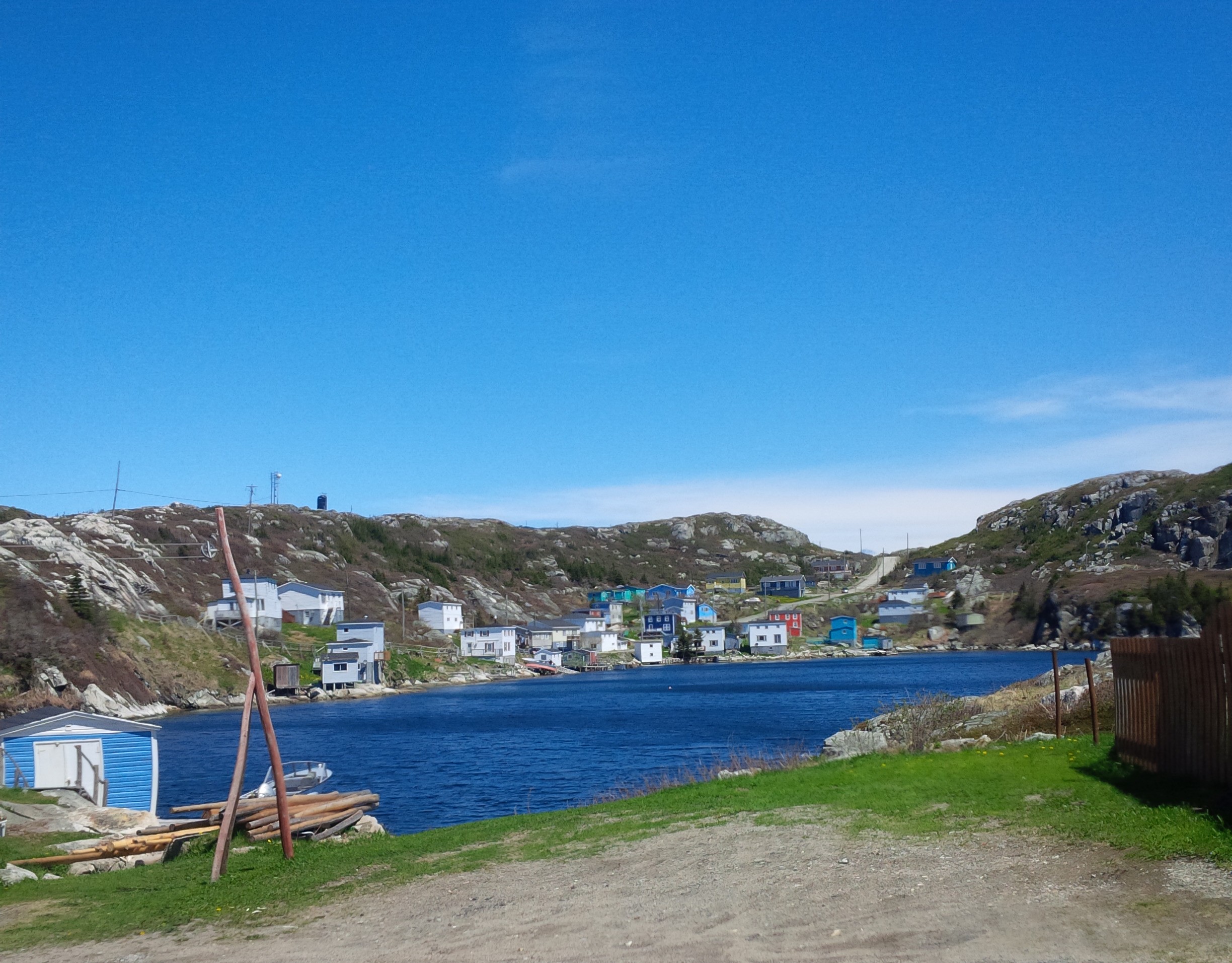
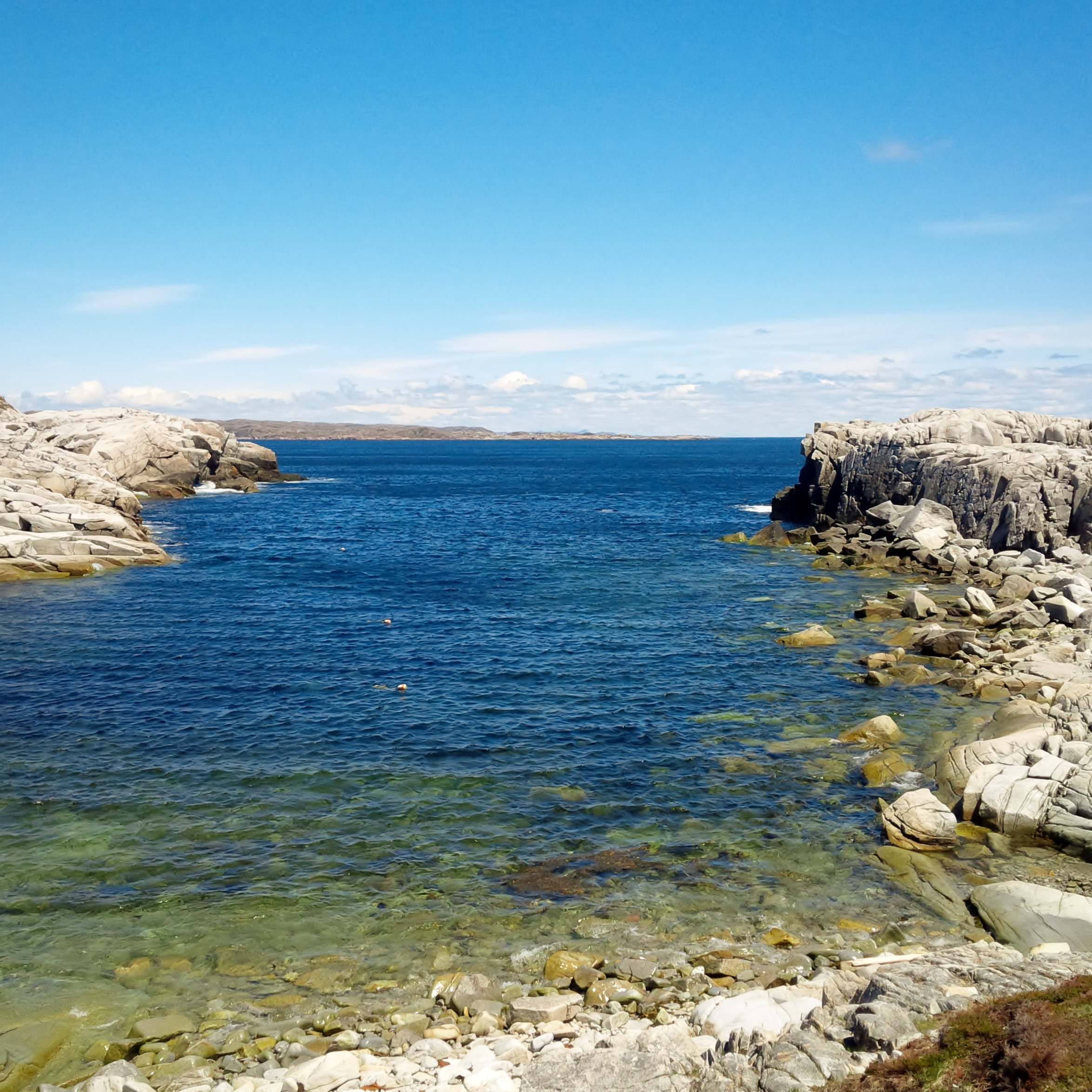
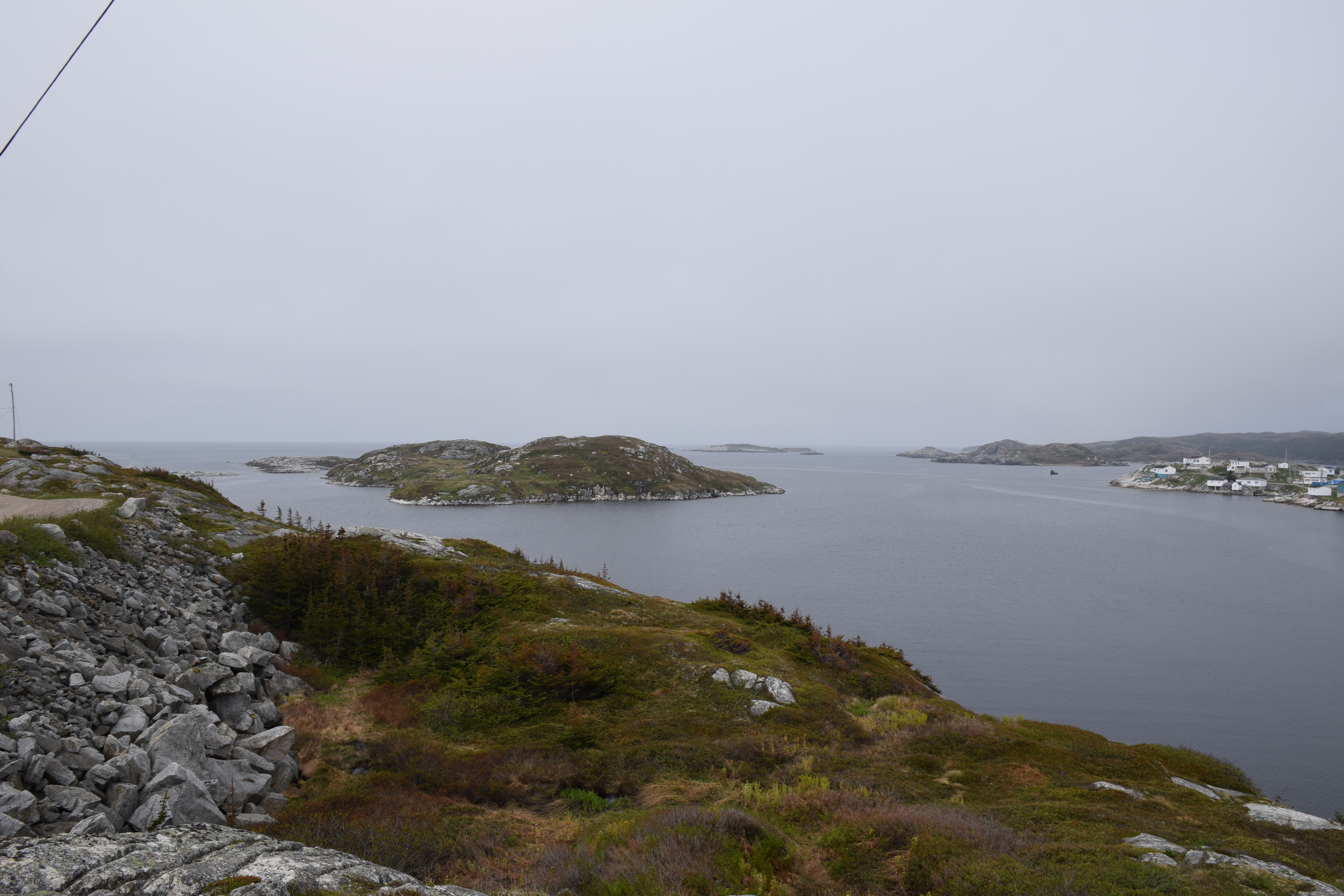
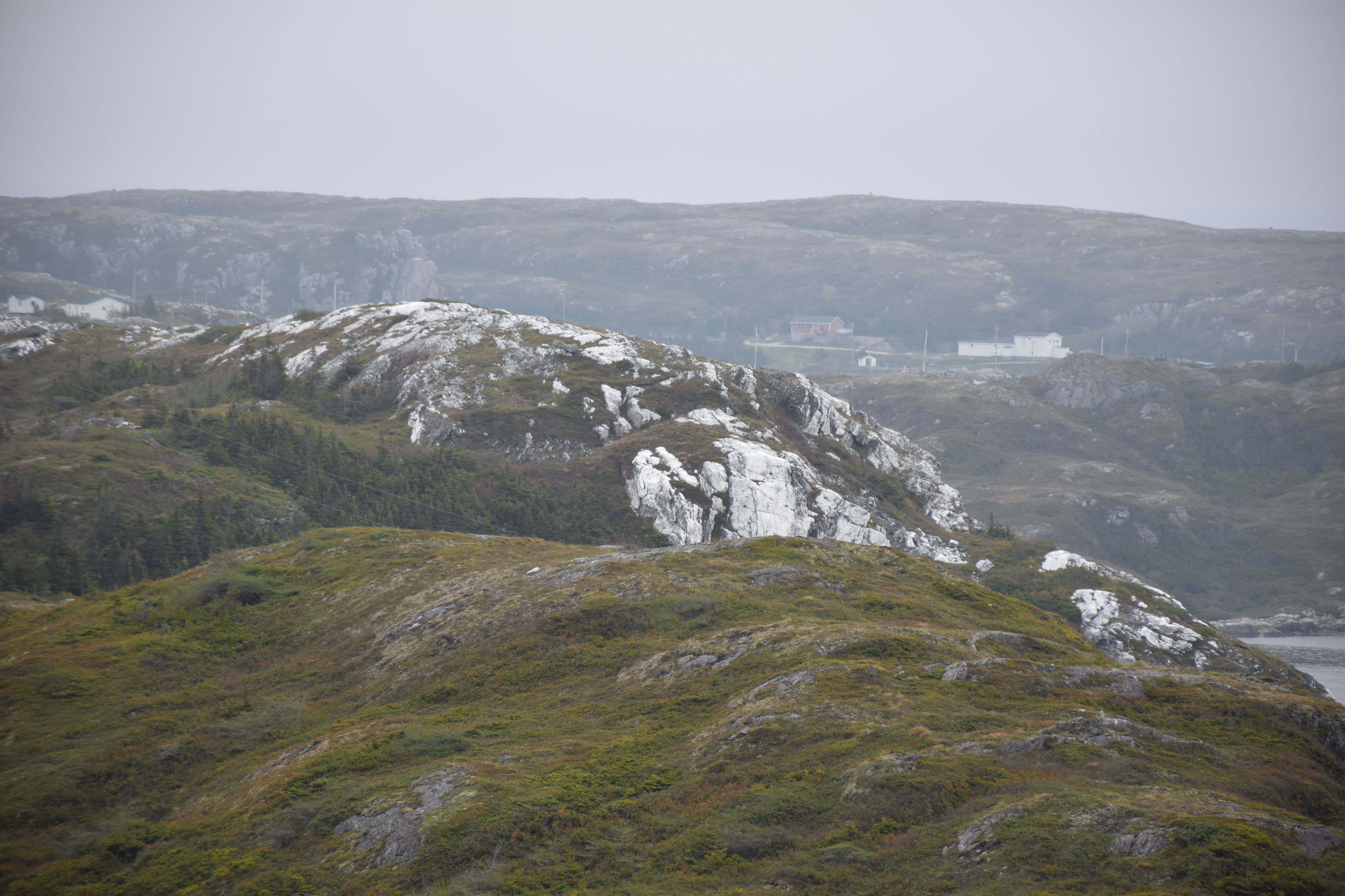
Related Photos:
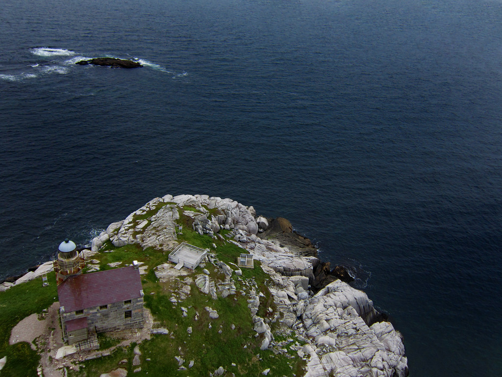
KAP ... Rose Blanche Lighthouse
Rose Blanche ... KAP
Just one more picturesque Newfoundland lighthouse
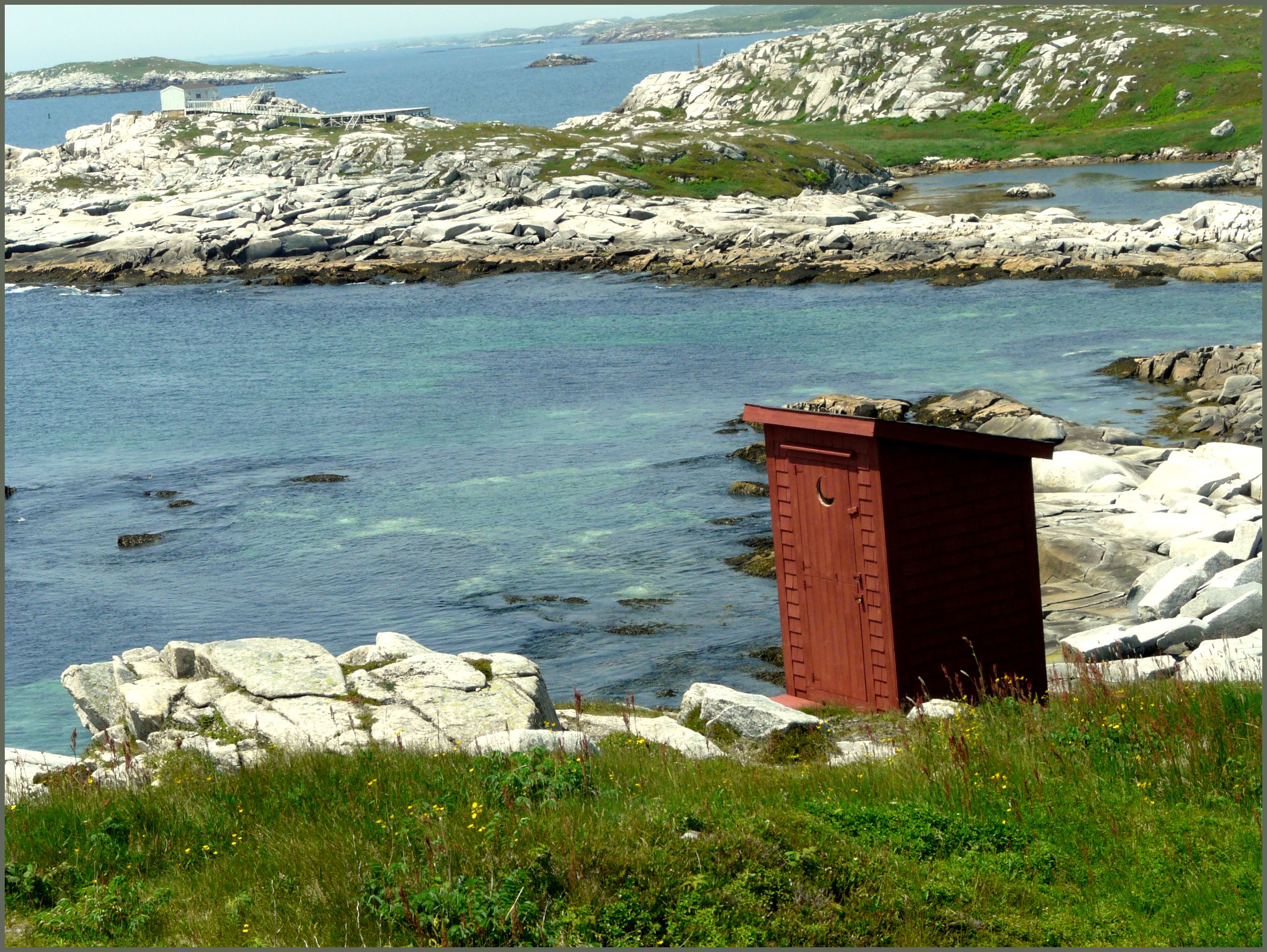
Outhouse with a view
DSC_0878 [640x480]
A ghostly figure
Rose Blanche, Terranova, Canadá
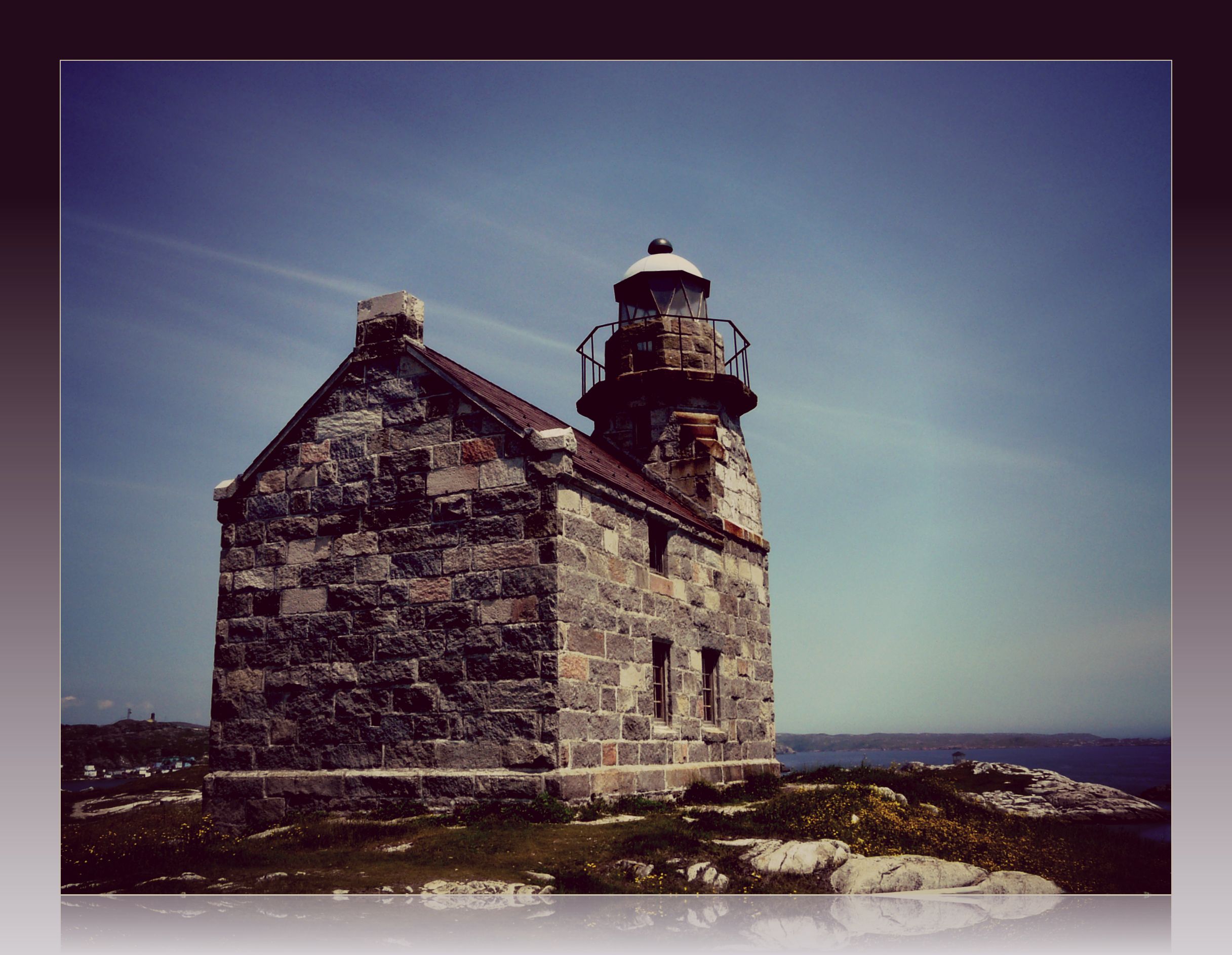
Rose Blanche granite lighthouse
Diamond Cove Newfoundland
1188 - Bonavista Peninsula - Port Rexton - Bay
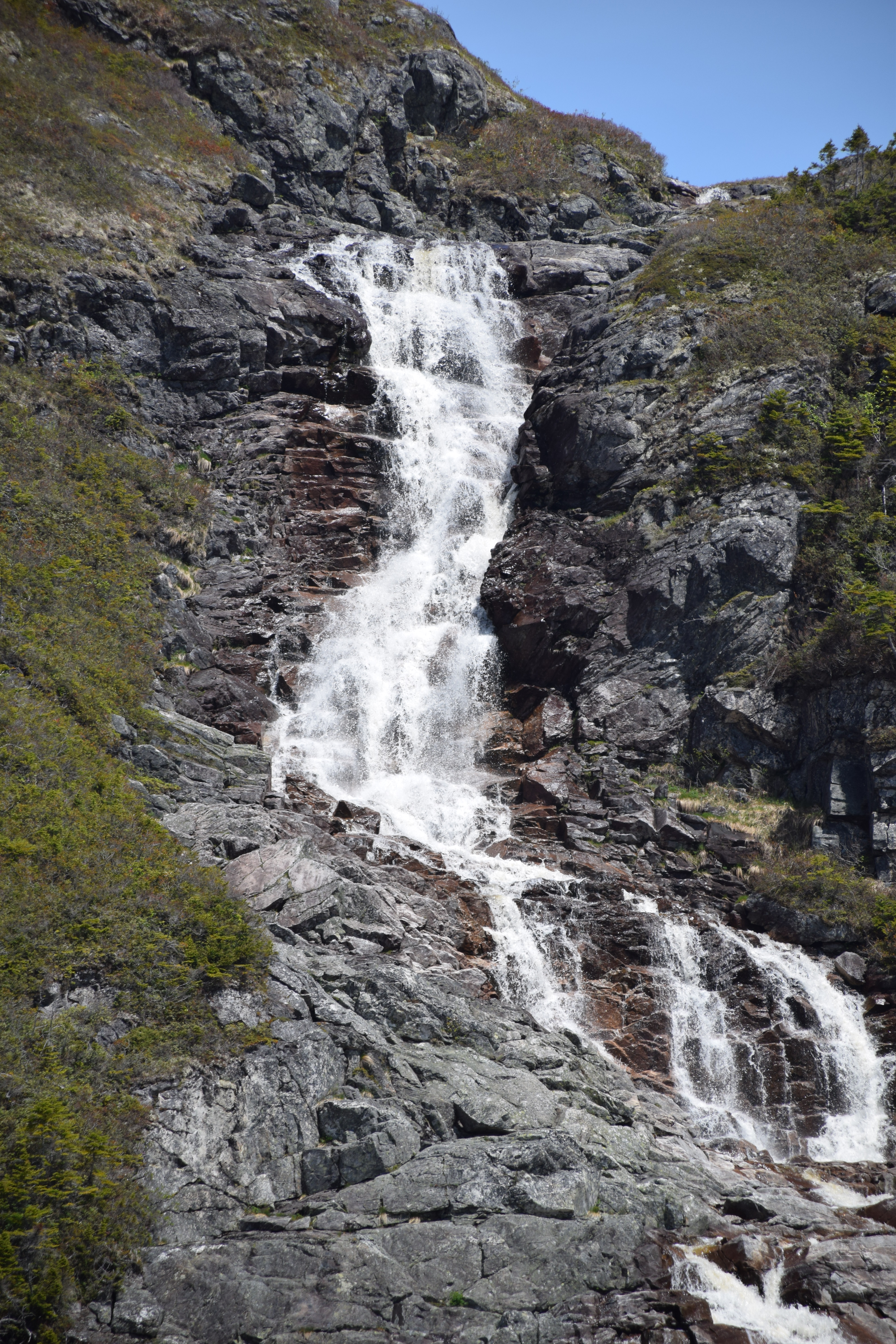
Barachois Falls Newfoundland
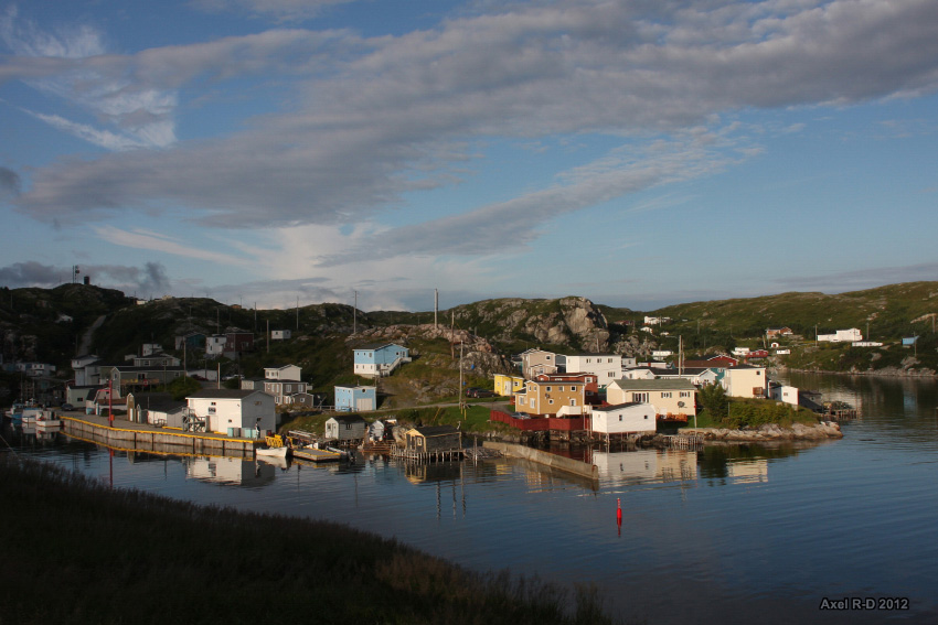
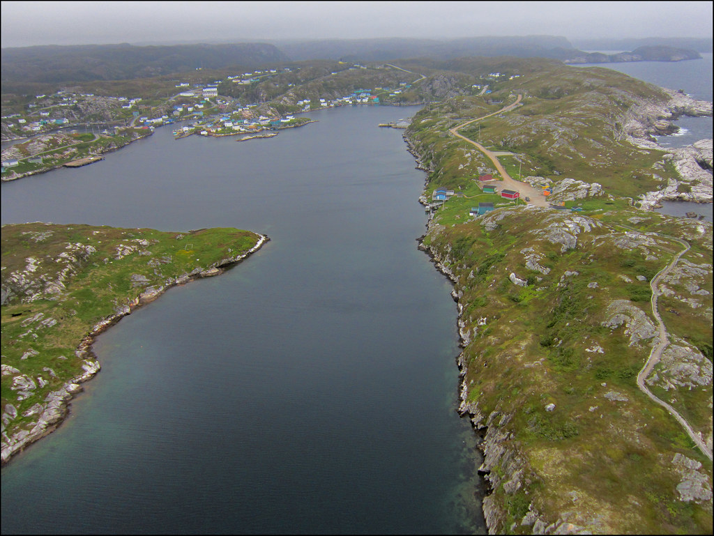
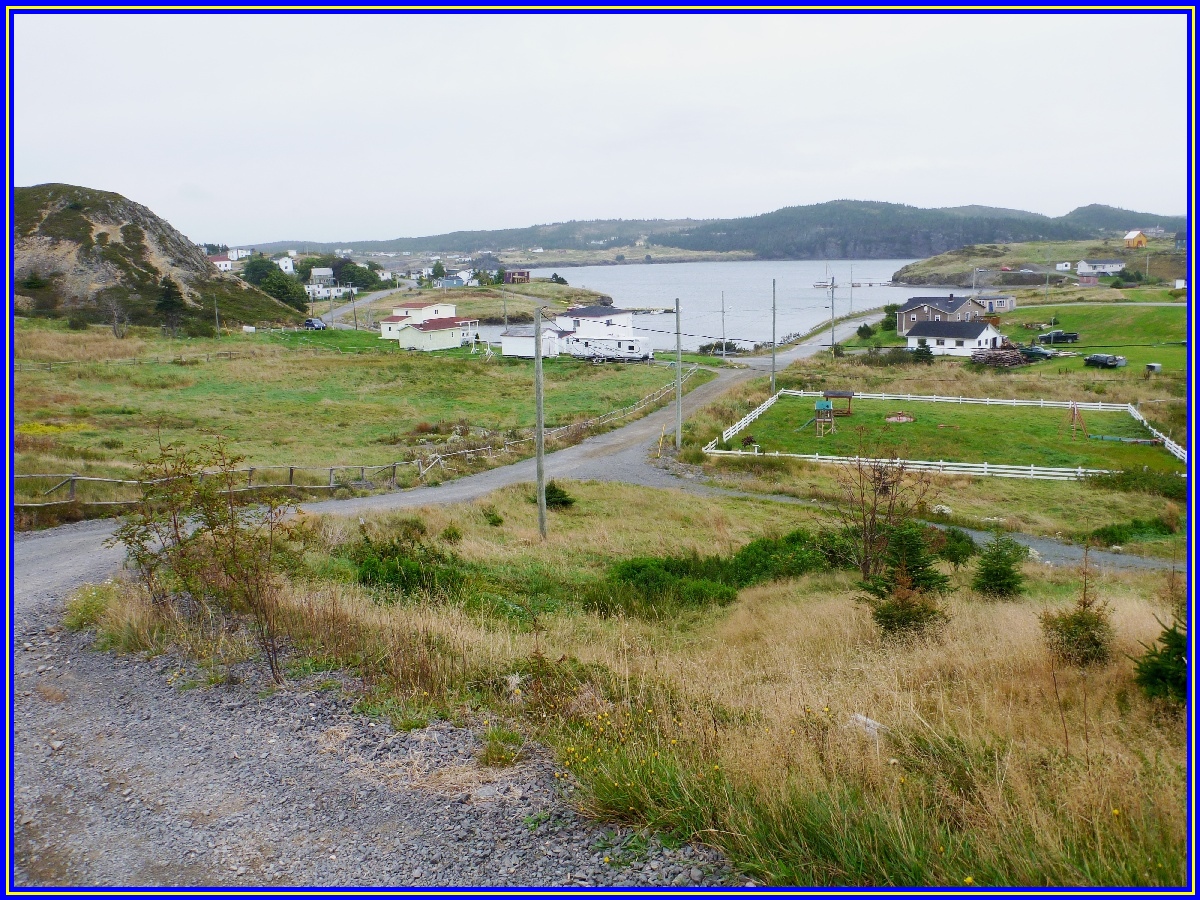
Rose Blanche, Newfoundland
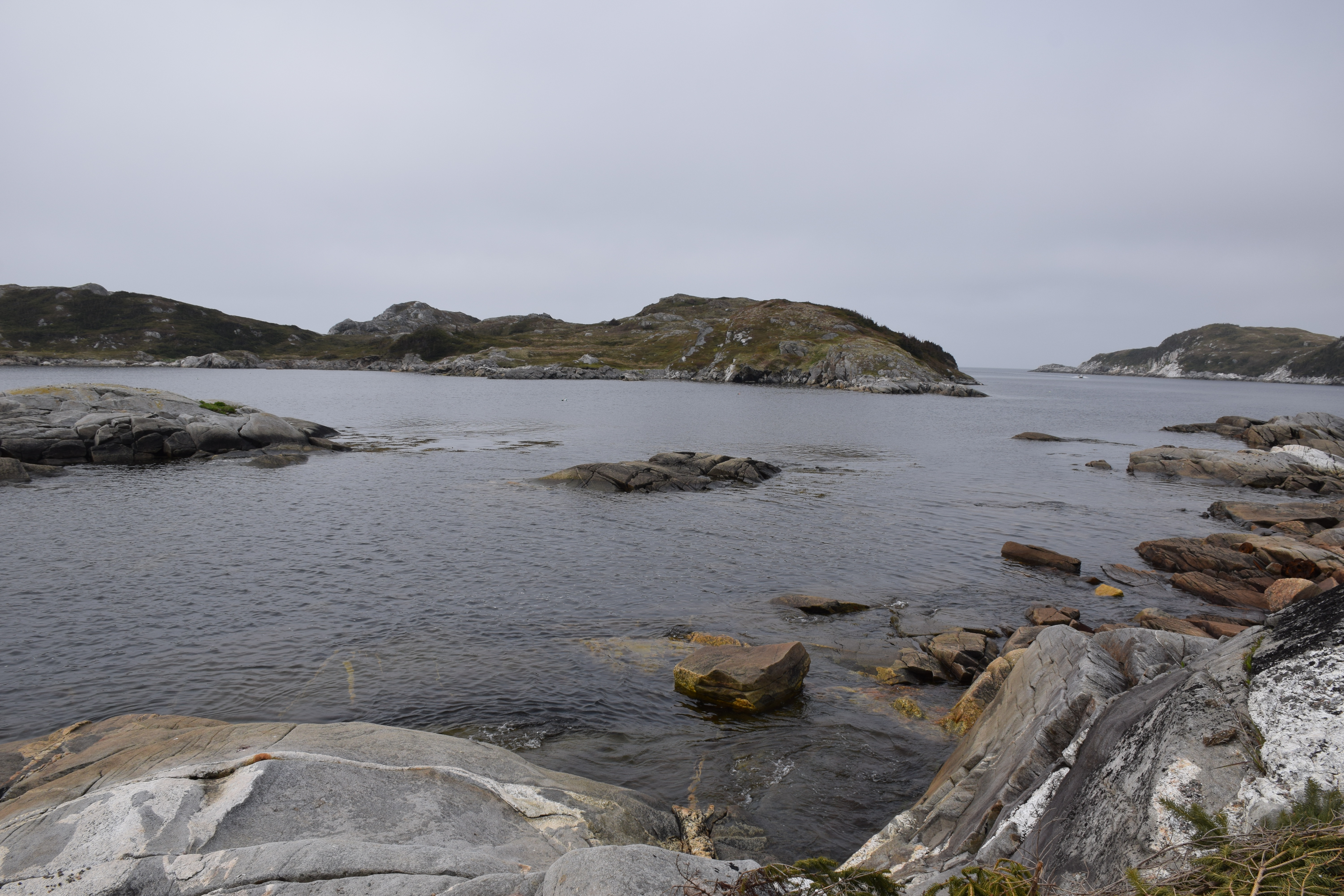
Diamond Cove Newfoundland
Diamond Cove Newfoundland
Diamond Cove Newfoundland
Rose Blanche, Terranova, Canada

Rose Blanche Newfoundland
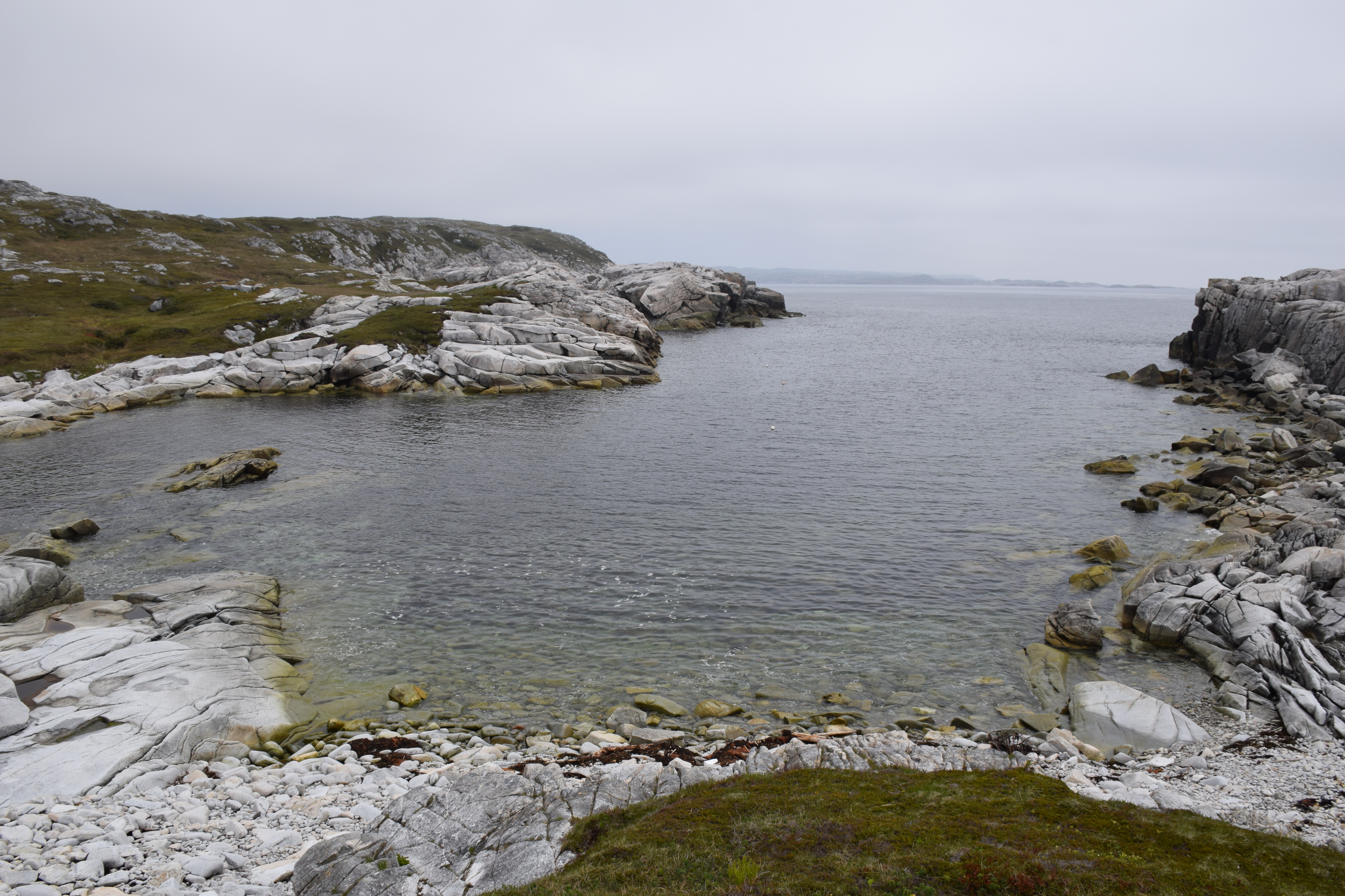
Rose Blanche Newfoundland
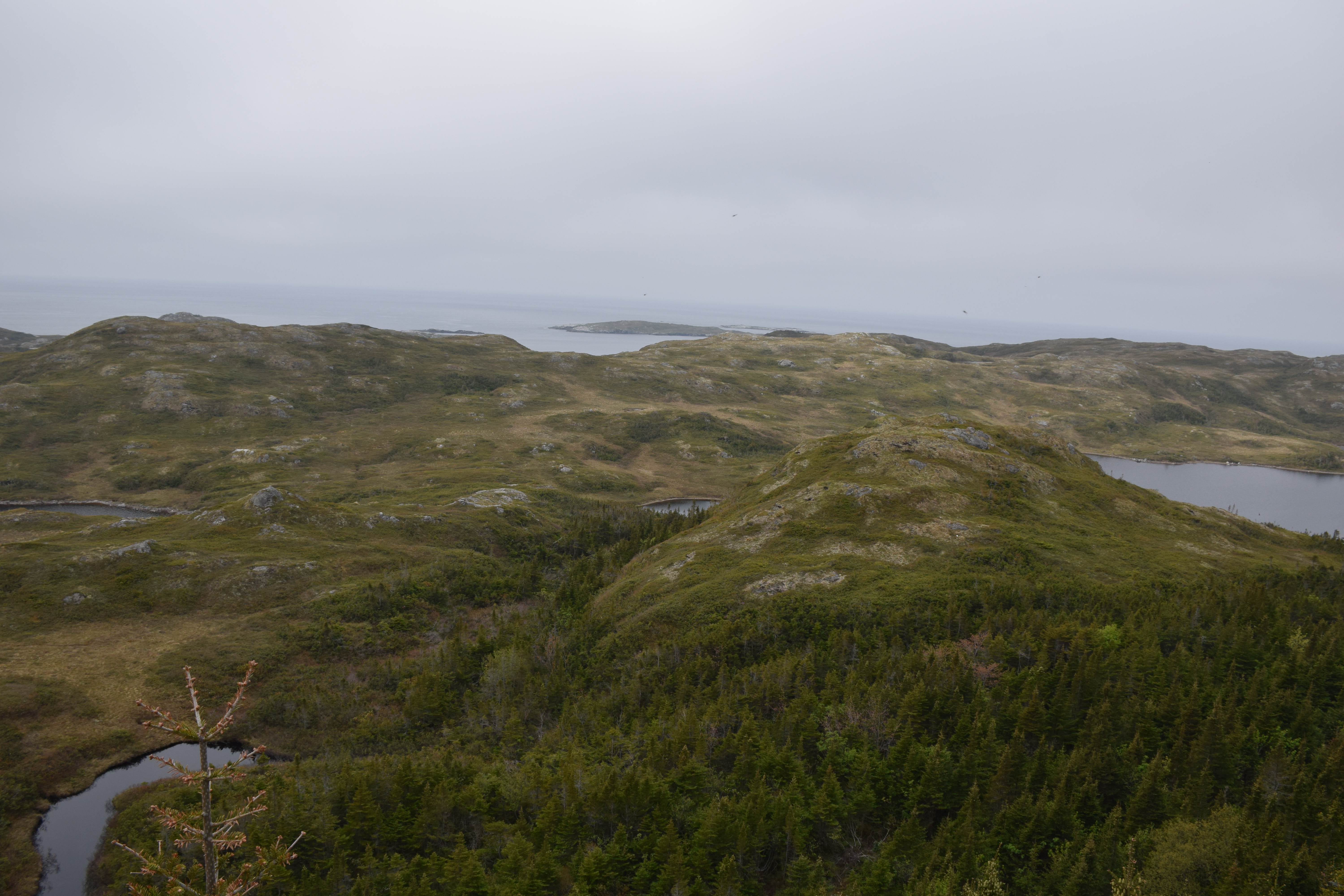
Diamond Cove Newfoundland
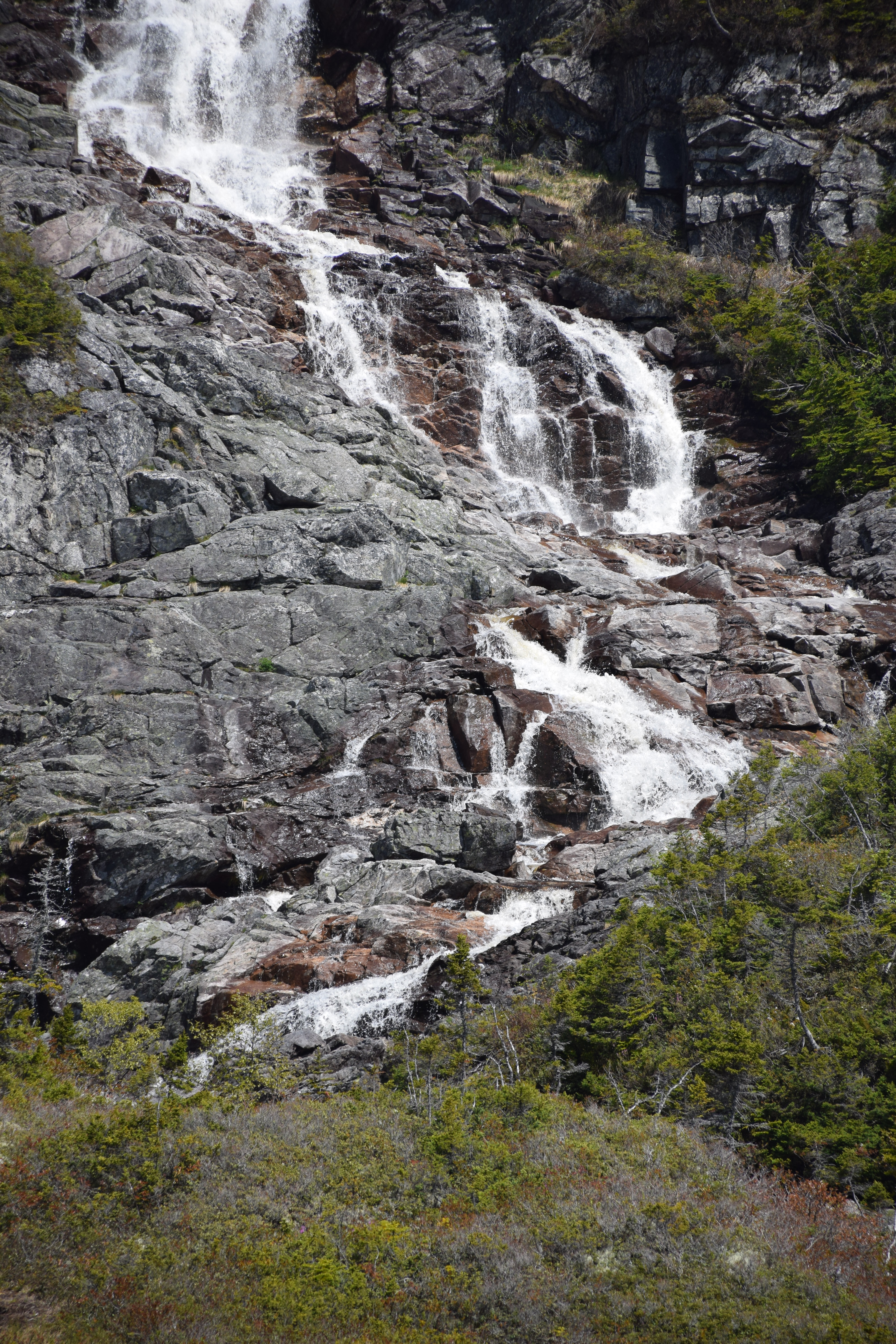
Barachois Falls Newfoundland
Terranova, Canadá
Terranova, Canadá
Rose Blanche Newfoundland
Diamond Cove Newfoundland
Topographic Map of 81 Main St, Rose Blanche, NL A0M 1P0, Canada
Find elevation by address:

Places near 81 Main St, Rose Blanche, NL A0M 1P0, Canada:
Rose Blanche-harbour Le Cou
Rose Blanche
Division No. 3, Subd. H
67 Water St, Isle aux Morts, NL A0M 1J0, Canada
Recent Searches:
- Elevation of Corso Fratelli Cairoli, 35, Macerata MC, Italy
- Elevation of Tallevast Rd, Sarasota, FL, USA
- Elevation of 4th St E, Sonoma, CA, USA
- Elevation of Black Hollow Rd, Pennsdale, PA, USA
- Elevation of Oakland Ave, Williamsport, PA, USA
- Elevation of Pedrógão Grande, Portugal
- Elevation of Klee Dr, Martinsburg, WV, USA
- Elevation of Via Roma, Pieranica CR, Italy
- Elevation of Tavkvetili Mountain, Georgia
- Elevation of Hartfords Bluff Cir, Mt Pleasant, SC, USA