Elevation of 7th St, Rosenberg, TX, USA
Location: United States > Texas > Fort Bend County > Rosenberg >
Longitude: -95.802240
Latitude: 29.5669662
Elevation: 29m / 95feet
Barometric Pressure: 101KPa
Elevation Map:
Satellite Map:
Related Photos:

Earth and Water

Morton Street Gallery, Richmond

Live Oaks at Fort Bend County Courthouse

Tail wheel well and mechanicals outside view

Antique Store, Richmond, Texas

365.122 Welcome to Life

Big Ben Tavern (left side)

Telfair Fountain

Big Ben Tavern (right side)

20170921-OSEC-LSC-0234

HMNS Sugarland Meet-up

Annular solar eclipse (Phases of)

Complete Hydatidiform Mole

Landing gear rear view

BNSF work train at Rosenberg Junction TX

The other BIF

Annular solar eclipse (20:01CDT)

Rosenberg Junction TX

Telfair Obelisk

Bombs rear view

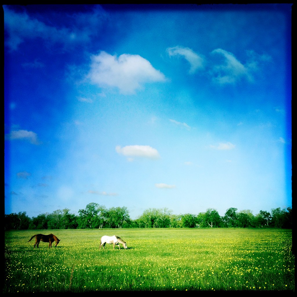
George Ranch 13

It Occurred To Jane That The Tree Was Probably Happier Than She'd Ever Be

In Booth, Texas: The abandoned Booth Public School and Auditorium.
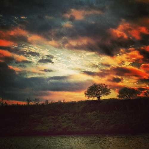
Brazos River sunset.
I was distracted by this while cycling into a 25 mph headwind this morning. #mysocalledweekend #mscwspace
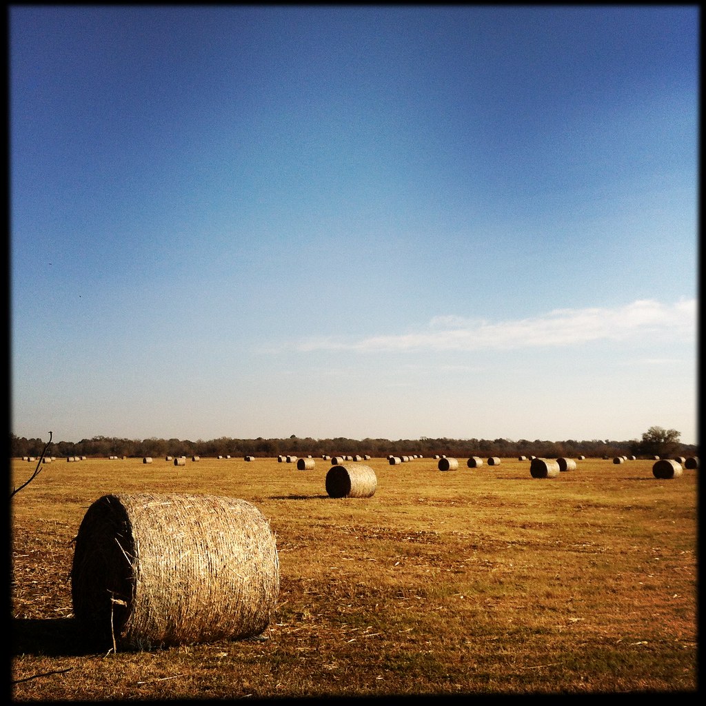
Hay bales along Bois D'Arc Road in Fulshear, Texas

The Heritage Ranch

Observation tower at Cullinan Park

Another one from that day at the park... Sunsets at this time of year can be pretty stunning.

Subaru Forester Sunset - Orchard, Texas

After Rain

Sugar Land Memorial Park

The silhouette of the man canoeing in the lake against the backdrop of the stunning sunset yesterday was too hard to resist...

Holes In The Clouds

Somewhere out there...

A winter landscape in Fort Bend County

Sandhill cranes

Rosenberg Thunderstorm 170810

Foggy December Morning 2

Hyde Park Road In Snow

King Rail

Suburban USA...
Topographic Map of 7th St, Rosenberg, TX, USA
Find elevation by address:

Places near 7th St, Rosenberg, TX, USA:
101 7th St
207 7th St
120 6th St
800 Cay Rd
700 Cay Rd
400 Cay Rd
100 San Carlos Rd
Rosenberg
Fort Bend County
Hill Road
1019 Faustino Garcia Rd
1000 Aurelia Ln
1012 Lawrence St
Aurelia Lane
1110 Aurelia Ln
Tinsley Estates
Liebold Lane
1200 Aurelia Ln
Mary E Law
1743 7th St
Recent Searches:
- Elevation of Kolchuginsky District, Vladimir Oblast, Russia
- Elevation of Shustino, Vladimir Oblast, Russia
- Elevation of Lampiasi St, Sarasota, FL, USA
- Elevation of Elwyn Dr, Roanoke Rapids, NC, USA
- Elevation of Congressional Dr, Stevensville, MD, USA
- Elevation of Bellview Rd, McLean, VA, USA
- Elevation of Stage Island Rd, Chatham, MA, USA
- Elevation of Shibuya Scramble Crossing, 21 Udagawacho, Shibuya City, Tokyo -, Japan
- Elevation of Jadagoniai, Kaunas District Municipality, Lithuania
- Elevation of Pagonija rock, Kranto 7-oji g. 8"N, Kaunas, Lithuania