Elevation of 7 Torlesse Pl, Castle Hill, New Zealand
Location: New Zealand > Canterbury > Selwyn District > Castle Hill >
Longitude: 171.715542
Latitude: -43.211218
Elevation: 719m / 2359feet
Barometric Pressure: 93KPa
Elevation Map:
Satellite Map:
Related Photos:

NZ Highway

Misty Valley

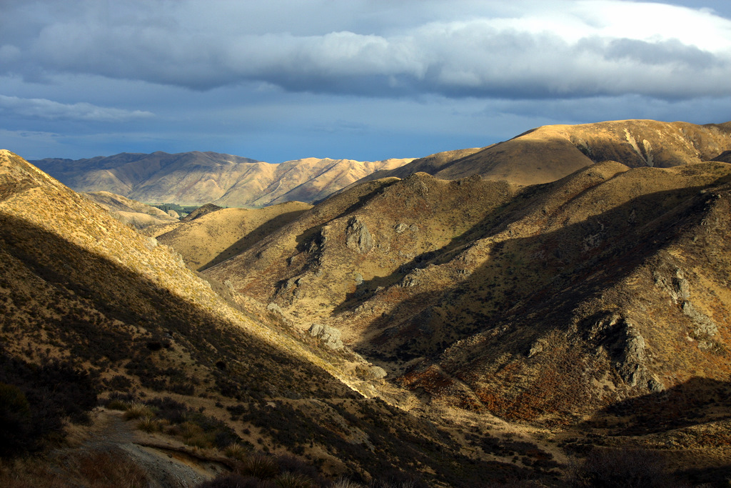
Castle Hill New Zealand

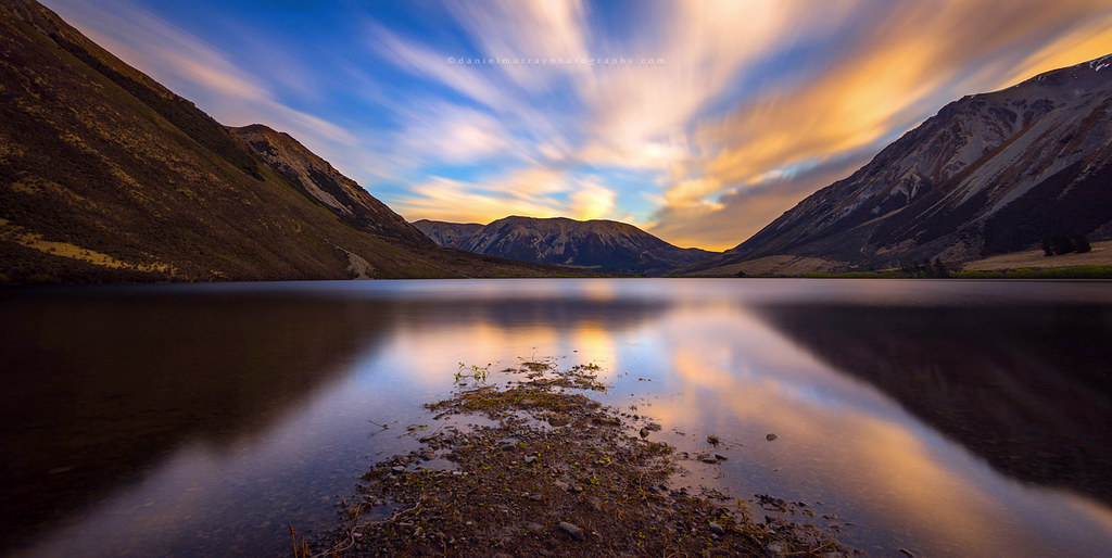
Lake Coleridge NZ
porters pass
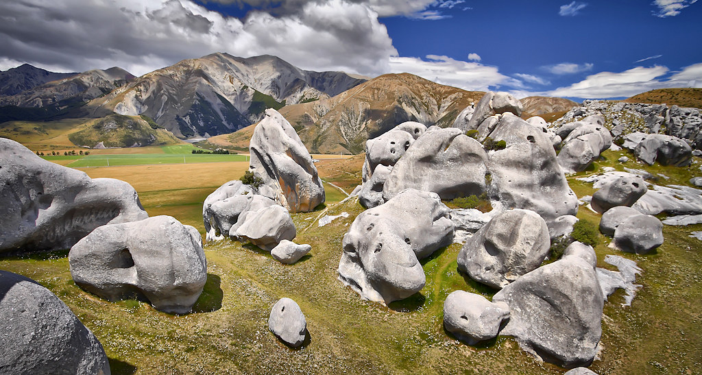
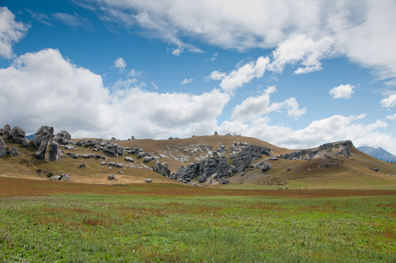
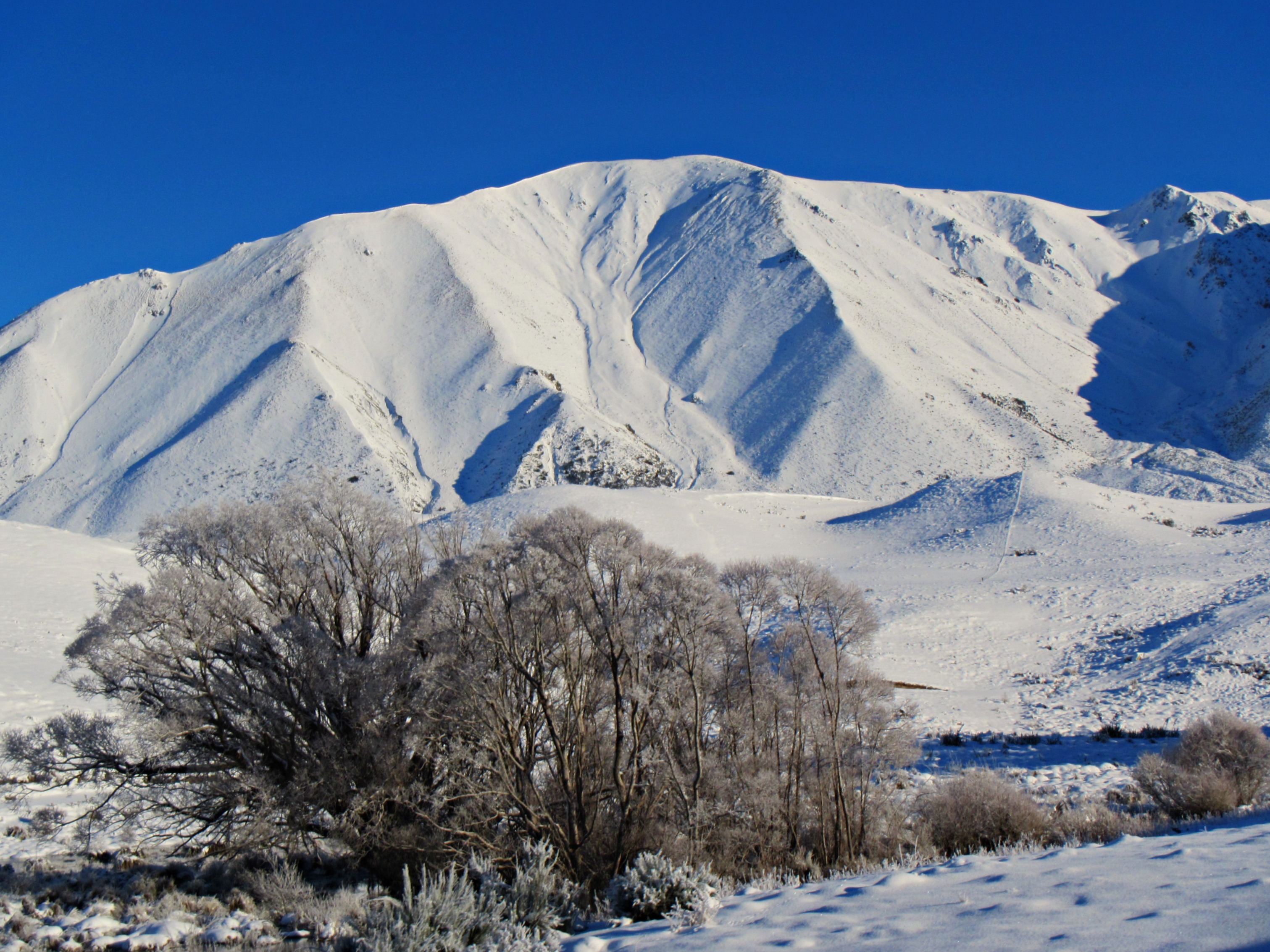
Castle Hill

DSC_5288_New Zealand Stitched
View from West Coast Road

View from the track to the Castle Hill rock formations
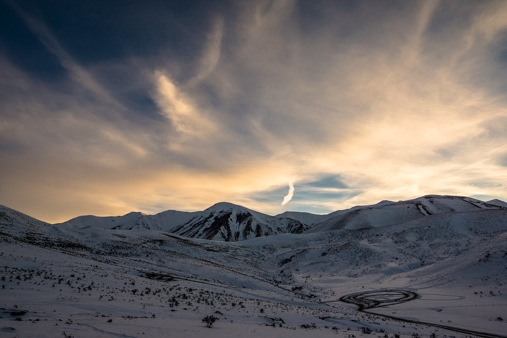
Mountain View At Magic Hour
DSC_5153_Rock formations
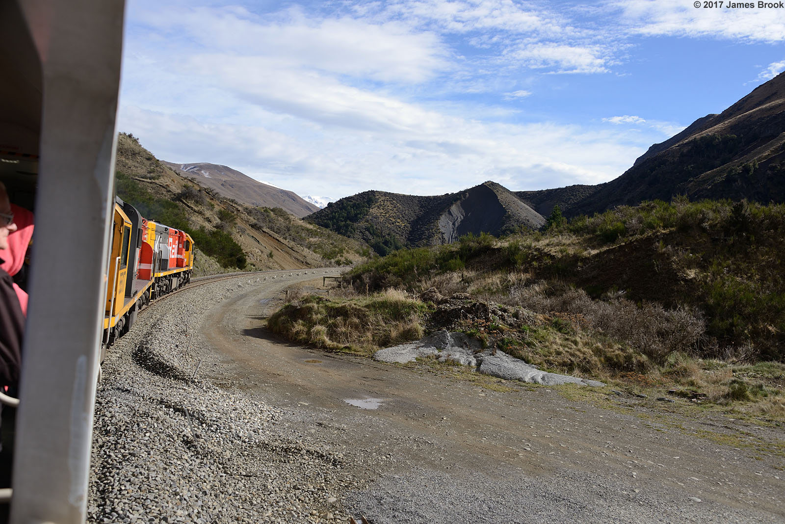
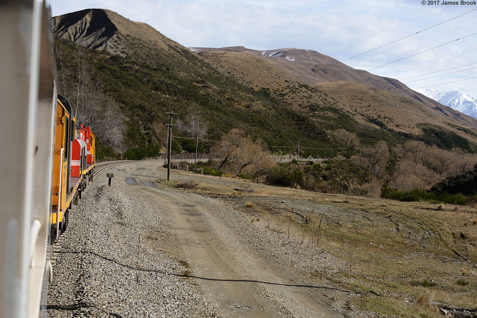
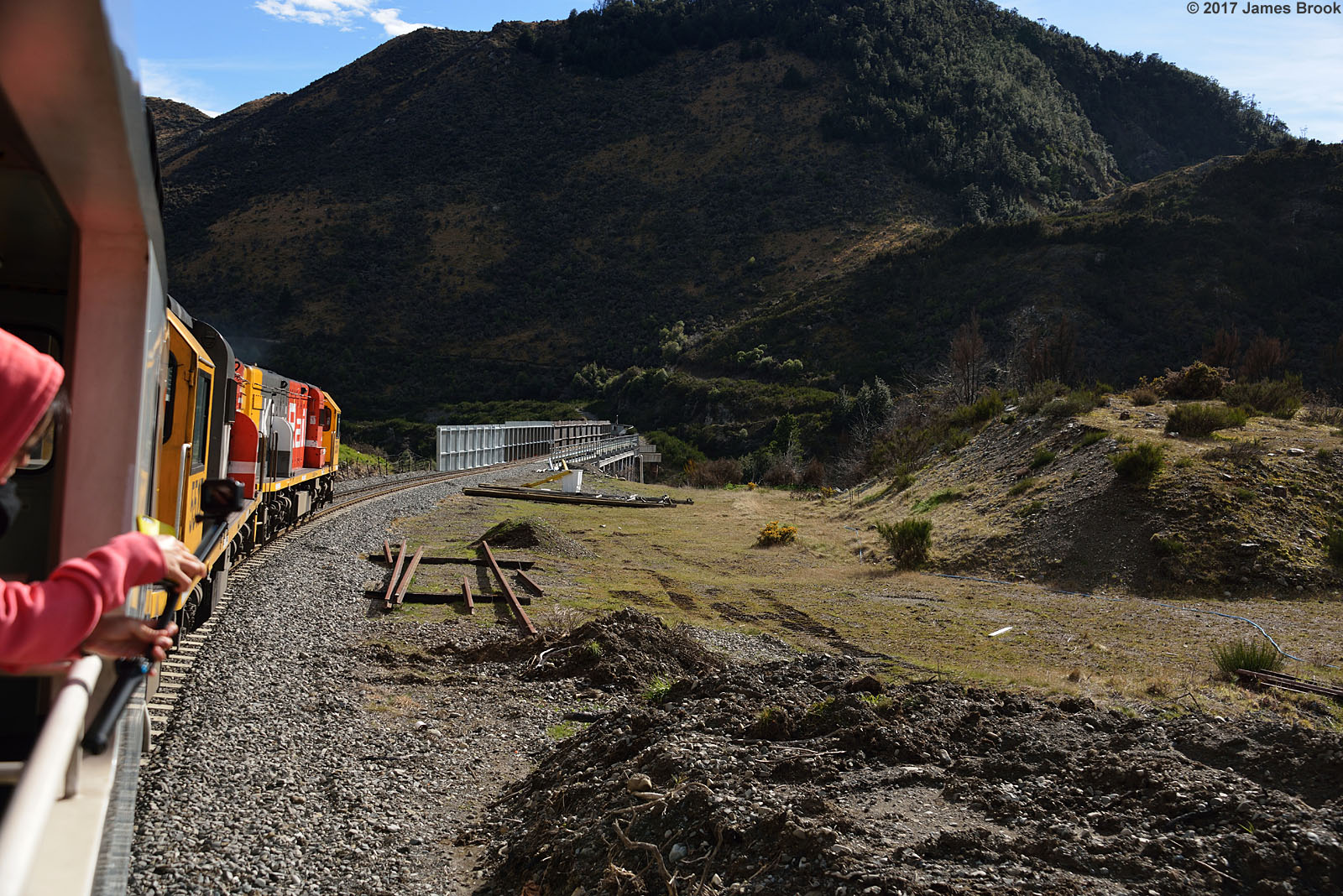
Springfield to Cragieburn
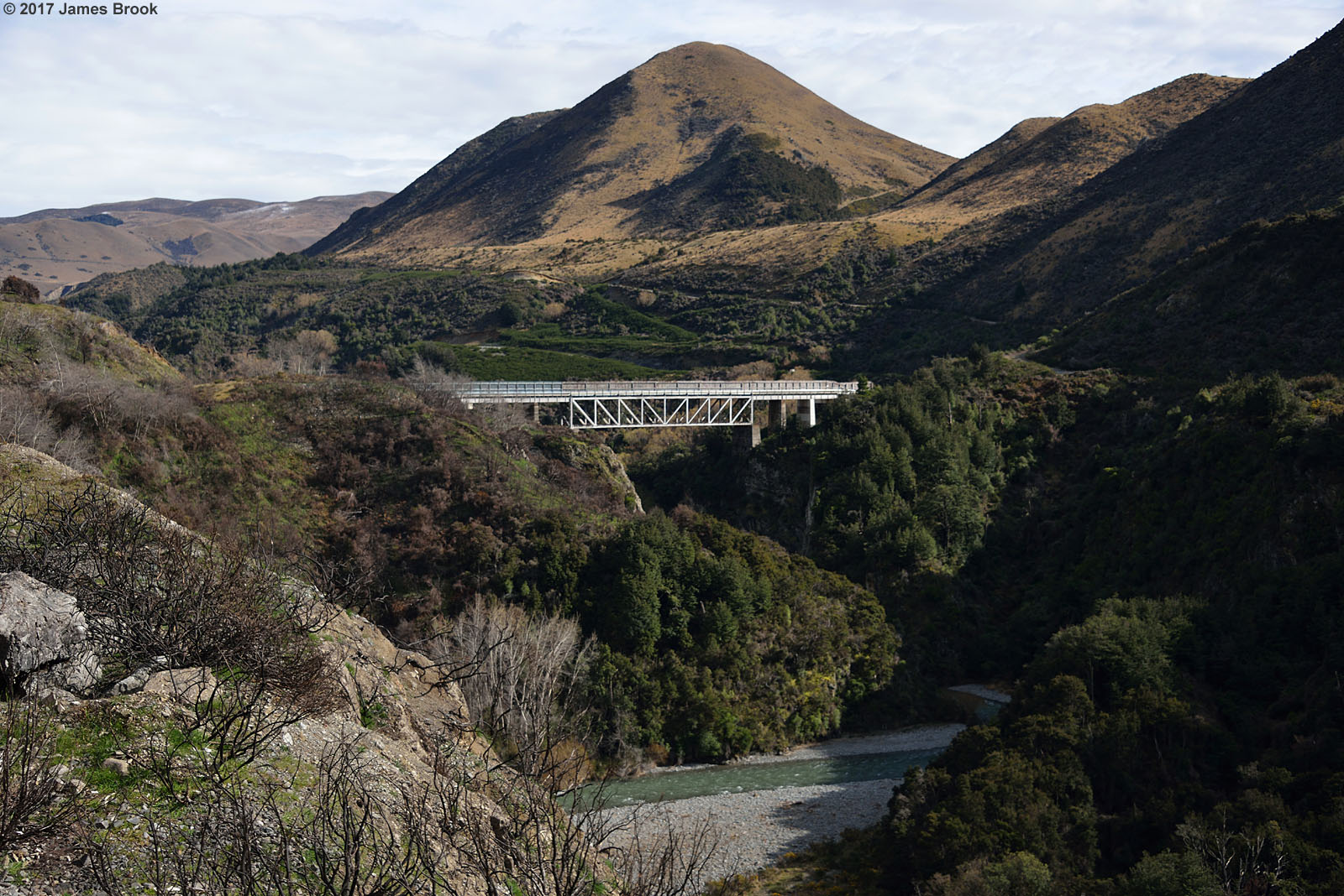
Springfield to Cragieburn
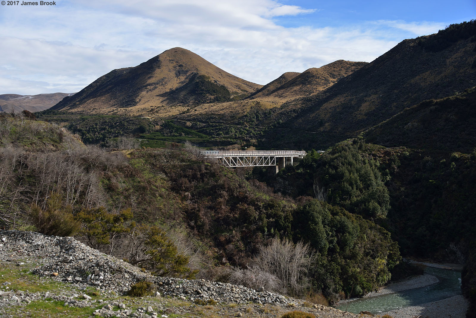
Springfield to Cragieburn
Springfield to Cragieburn

View from Mt Cheeseman in the Evening

Springfield to Cragieburn
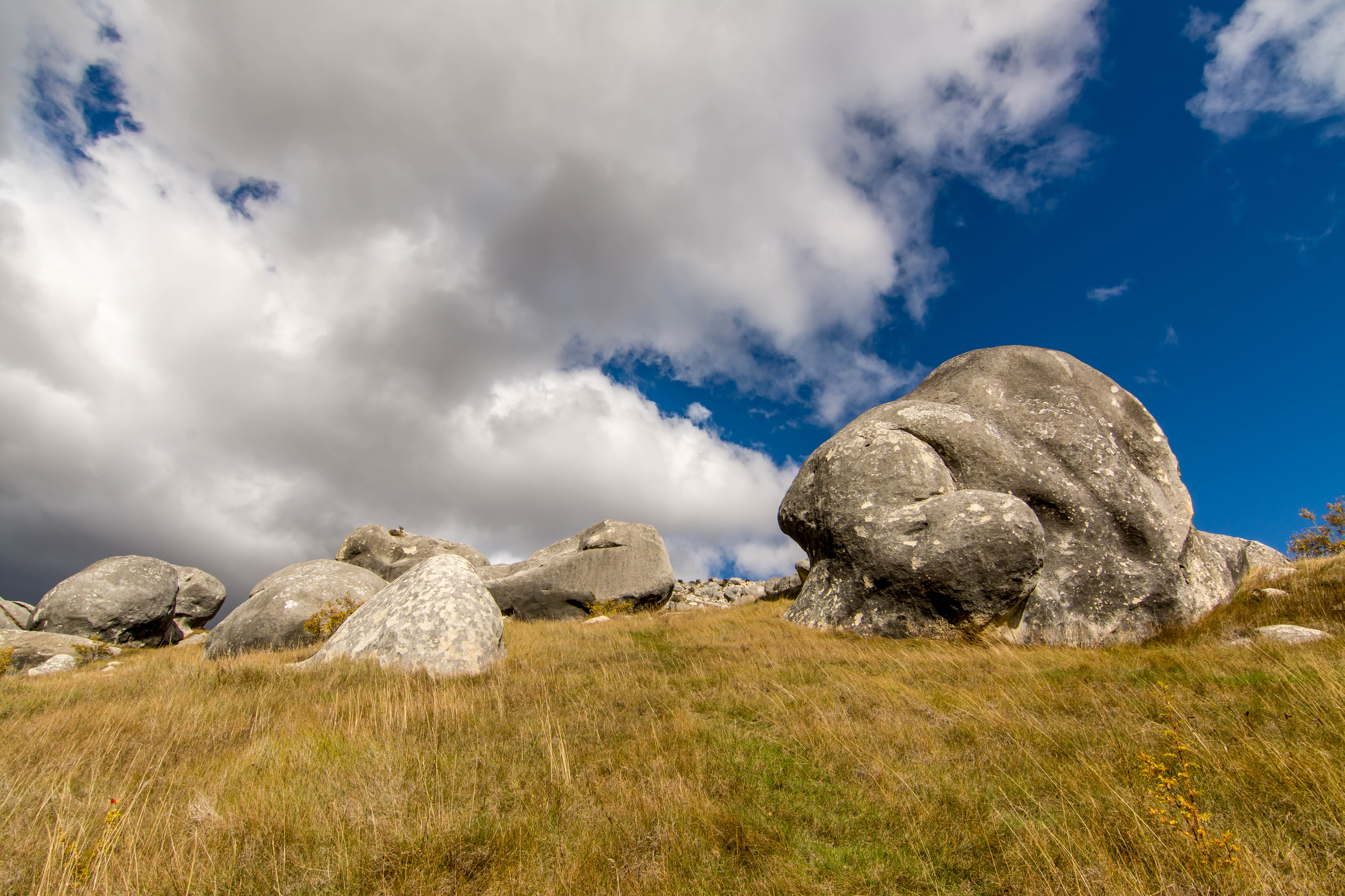
DSC_5163_Giant Boulders

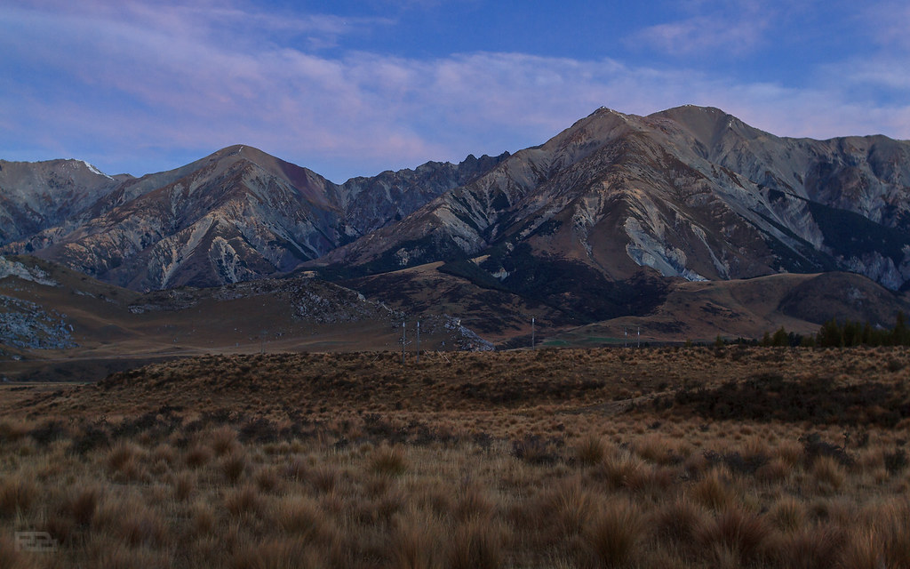
View of Torlesse Range from Mt Cheeseman
Springfield to Cragieburn

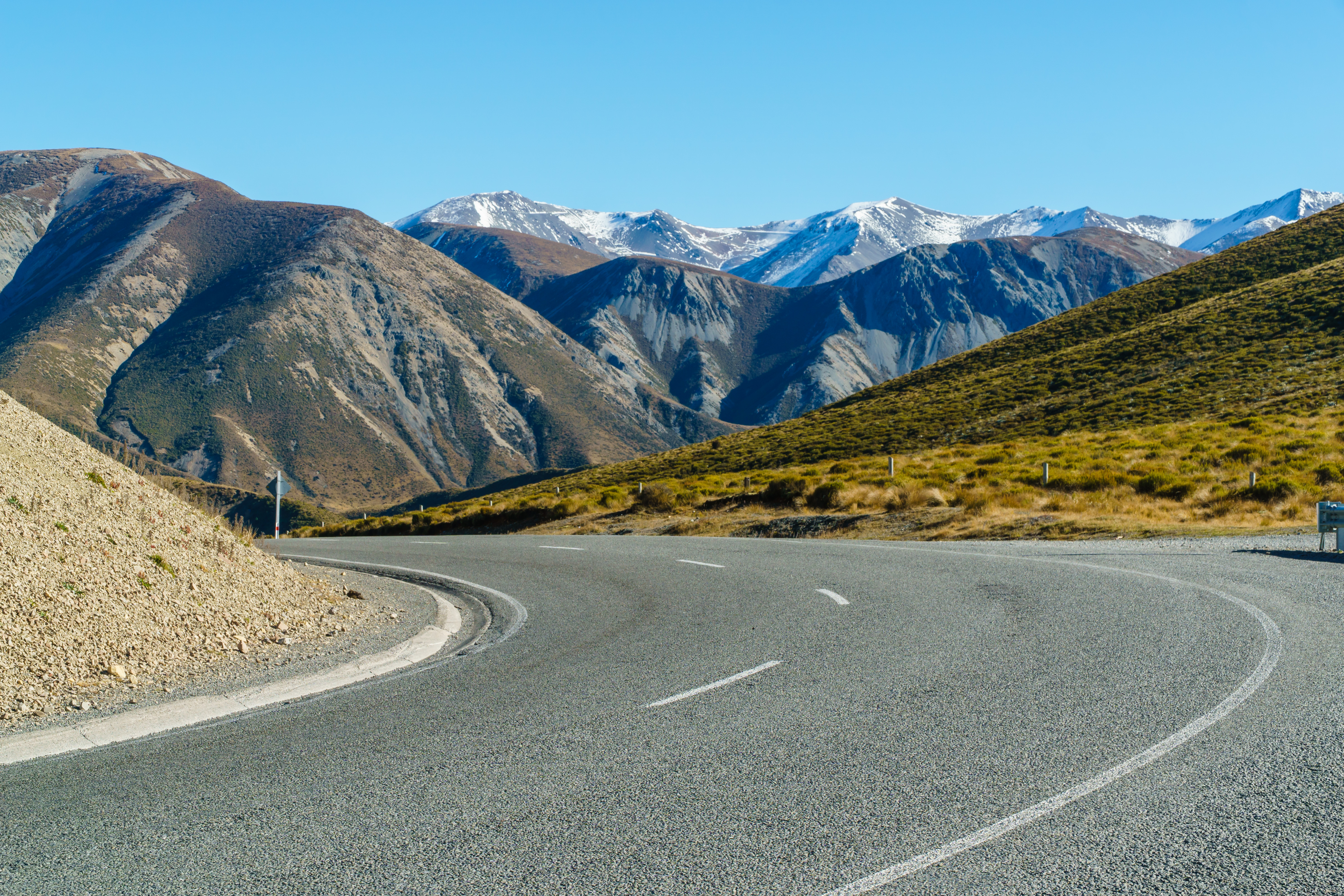
DSC_5115_Curvy Roads
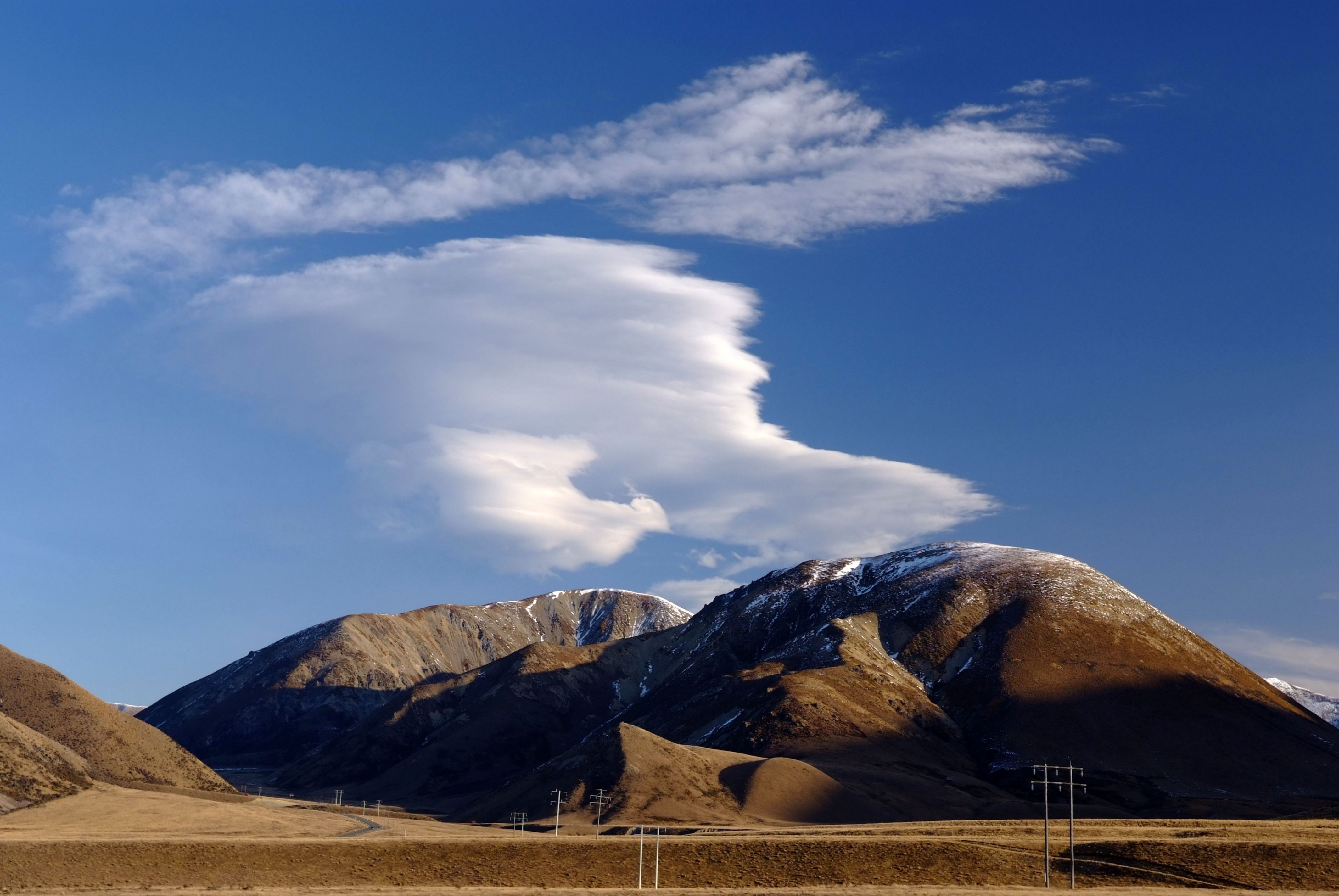
Cloudy Hill (16)
Beautiful New Zealand
Last Light

14-01-31 New Zealand Touring-013963

The Strainer

14-01-31 New Zealand Touring-013963

Reaching Out...

Castle Hill

castle hill HDR HSS!

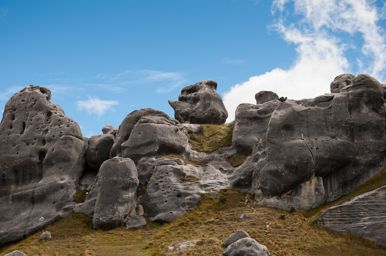
Kura tawhiti NZ

Castle Hill 2

Was That a Fish?
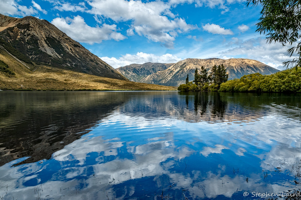
Lake Pearson
Castle Hill

2017.05.09 - 10.06.05 - IMG_20170509_100605439 - South Island, Craigieburn Road, Selwyn District, New Zealand_bt

2017.05.09 - 10.07.17 - IMG_20170509_100717650 - South Island, Craigieburn Road, Selwyn District, New Zealand_bt

Lake Pearson
lake pearson (moana rua)

2017.05.09 - 10.07.47 - IMG_20170509_100747632_BURST000_COVER_TOP - South Island, Craigieburn Road, Selwyn District, New Zealand_bt
Topographic Map of 7 Torlesse Pl, Castle Hill, New Zealand
Find elevation by address:

Places near 7 Torlesse Pl, Castle Hill, New Zealand:
Castle Hill
Castle Hill Peak
Mount Enys
Selwyn District
Lake Lyndon
Bealey
Mount Binser
Springfield
Springfield
Windwhistle
Rakaia Gorge Road
Mount Hutt
Gray Hill
Waimakariri River
View Hill
84 Depot Rd
Coalgate
Hororata Primary School
Otira
Lees Valley
Recent Searches:
- Elevation of Congressional Dr, Stevensville, MD, USA
- Elevation of Bellview Rd, McLean, VA, USA
- Elevation of Stage Island Rd, Chatham, MA, USA
- Elevation of Shibuya Scramble Crossing, 21 Udagawacho, Shibuya City, Tokyo -, Japan
- Elevation of Jadagoniai, Kaunas District Municipality, Lithuania
- Elevation of Pagonija rock, Kranto 7-oji g. 8"N, Kaunas, Lithuania
- Elevation of Co Rd 87, Jamestown, CO, USA
- Elevation of Tenjo, Cundinamarca, Colombia
- Elevation of Côte-des-Neiges, Montreal, QC H4A 3J6, Canada
- Elevation of Bobcat Dr, Helena, MT, USA