Elevation of 76 Rachel Dr, Bay City, TX, USA
Location: United States > Texas > Matagorda County > Bay City >
Longitude: -95.997650
Latitude: 28.767339
Elevation: -10000m / -32808feet
Barometric Pressure: 295KPa
Elevation Map:
Satellite Map:
Related Photos:

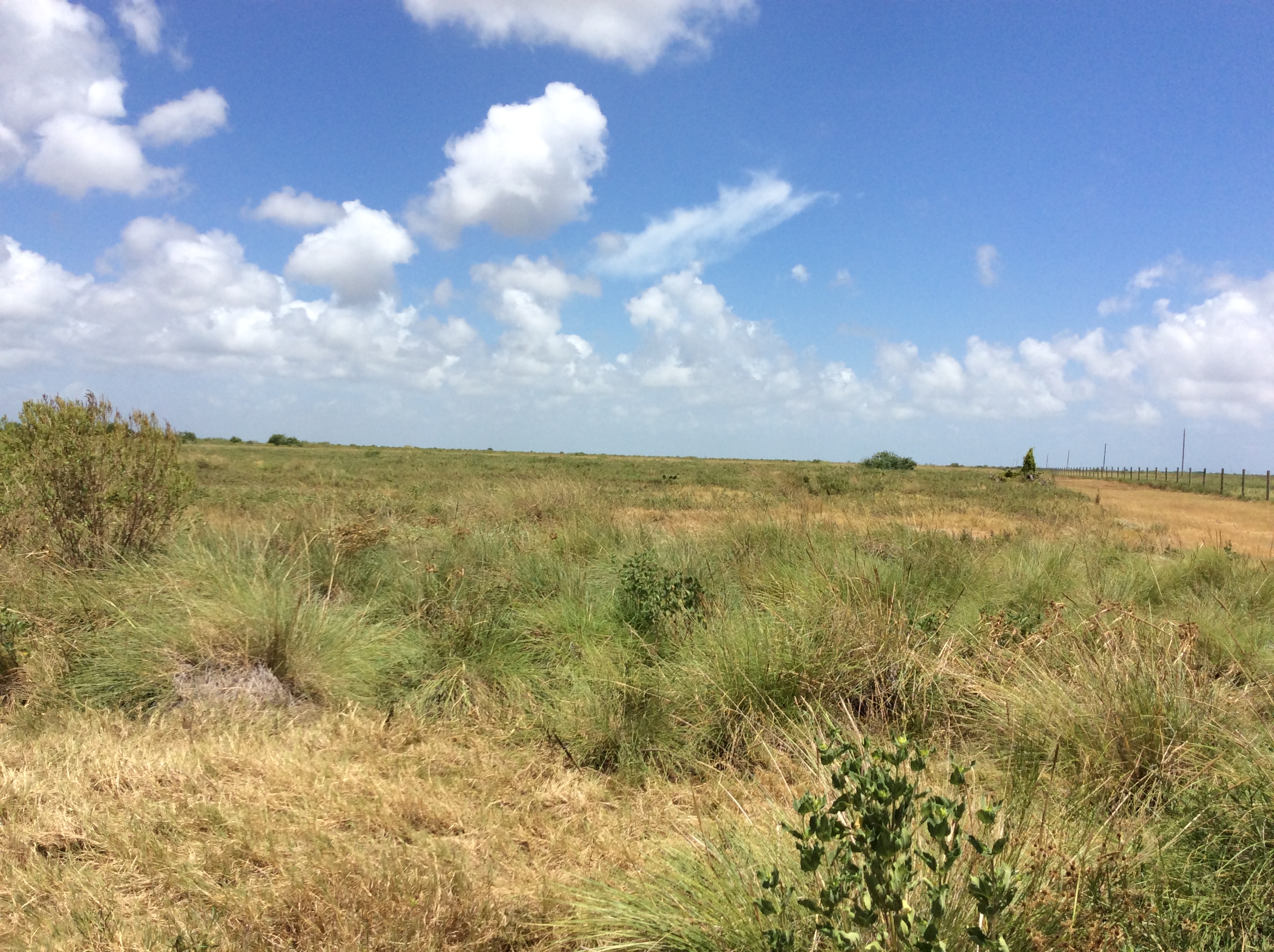
Great view on a super nice day!

Bay City TX 7-25-13 1350

P7 Bullbarn West

Matagorda, Texas bridge

P9 DP10 West

P15 Corral Entrance Southeast

P25 DP6 Northwest

P28 Boardwalk Northeast

P5 DP9 South

P19 DP3 East

P20 DP3 North

P10 DP10 East

P27 DP7 North

P1 Behind Shop East

P6 DP9 East

P11 DP1 West

P16 Corral Entrance Southwest

P18 DP2 South

P23 DP5 North

P24 DP5 West
P26 DP7 East

P28 Boardwalk Northeast
Topographic Map of 76 Rachel Dr, Bay City, TX, USA
Find elevation by address:

Places near 76 Rachel Dr, Bay City, TX, USA:
174 County Rd 243
683 County Rd 239
Fm 521 River Park
1888 County Rd 243
Matagorda County
561 Mimosa Ln
381 Center St
381 Center St
427 Caney St
Matagorda
117 Caney St
760 Caney St
257 Matagorda St
Wadsworth
23 Beach Rd
23 Beach Rd
Bay City, TX, USA
Farm To Market Road 1095
Chinquapin Road
Dunes Drive
Recent Searches:
- Elevation of Verkhny Fiagdon, North Ossetia–Alania Republic, Russia
- Elevation of F. Viola Hiway, San Rafael, Bulacan, Philippines
- Elevation of Herbage Dr, Gulfport, MS, USA
- Elevation of Lilac Cir, Haldimand, ON N3W 2G9, Canada
- Elevation of Harrod Branch Road, Harrod Branch Rd, Kentucky, USA
- Elevation of Wyndham Grand Barbados Sam Lords Castle All Inclusive Resort, End of Belair Road, Long Bay, Bridgetown Barbados
- Elevation of Iga Trl, Maggie Valley, NC, USA
- Elevation of N Co Rd 31D, Loveland, CO, USA
- Elevation of Lindever Ln, Palmetto, FL, USA
- Elevation of Gillot Blvd, Port Charlotte, FL, USA