Elevation of 75 S E, Cedar City, UT, USA
Location: United States > Utah > Iron County > Cedar City >
Longitude: -113.39758
Latitude: 37.6148049
Elevation: 1934m / 6345feet
Barometric Pressure: 80KPa
Elevation Map:
Satellite Map:
Related Photos:
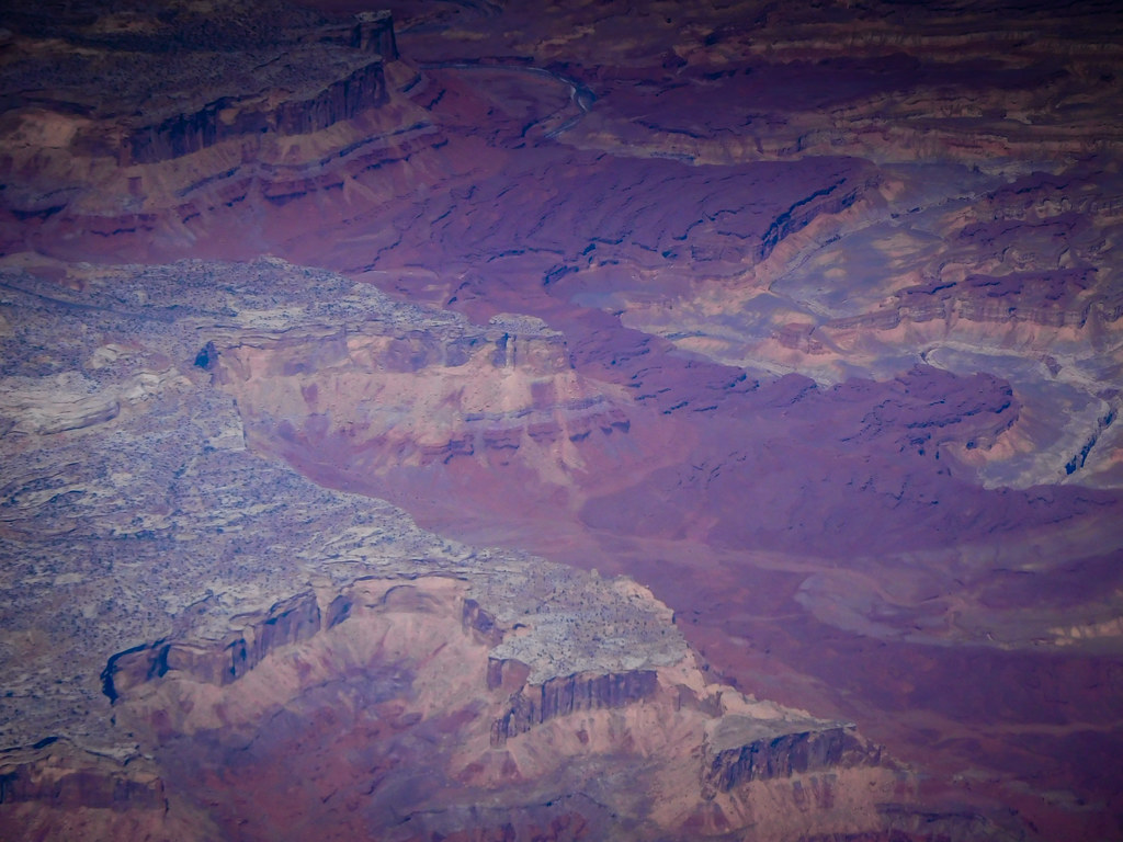
Aerial view of canyons and desert in Utah
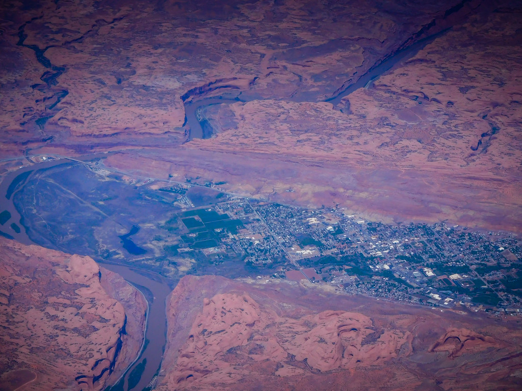
Aerial view of a town in a canyon river gorge in Utah
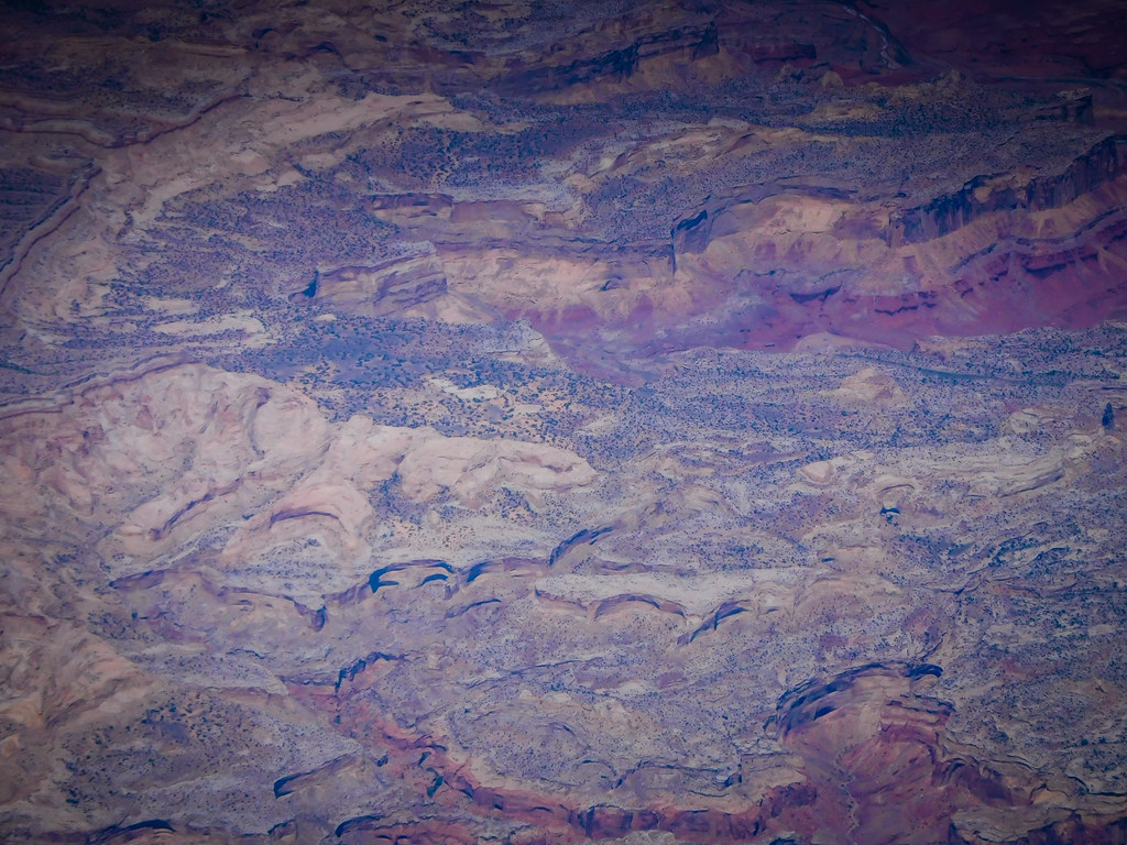
Aerial view of canyon lands in Utah

Aerial view of canyon river gorge and desert in Utah
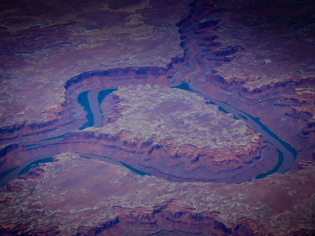
Aerial view of canyon river gorge and desert in Utah
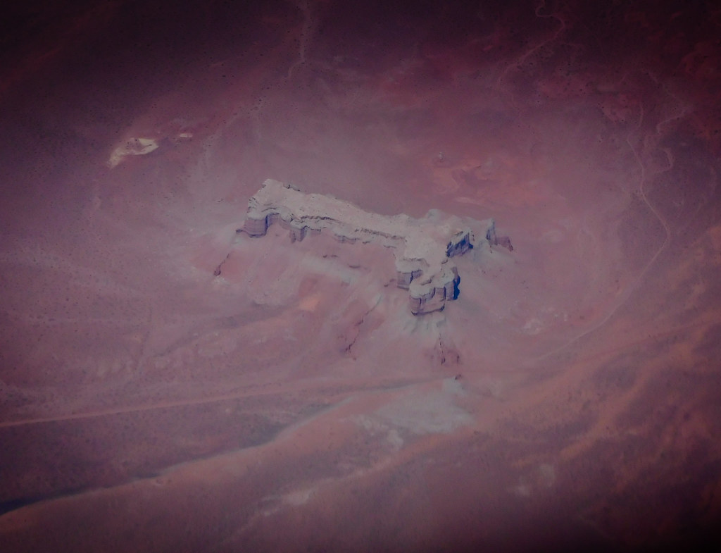
Aerial view of canyon and desert in Utah
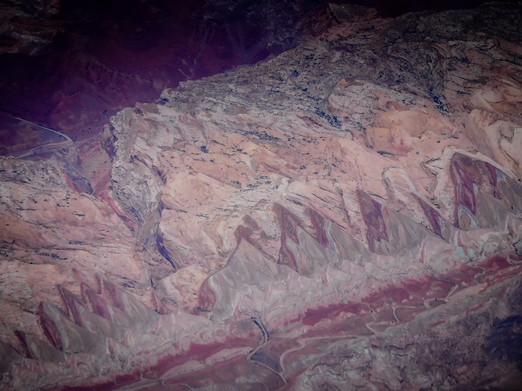
Aerial view of canyons and desert in Utah

Old iron smelters
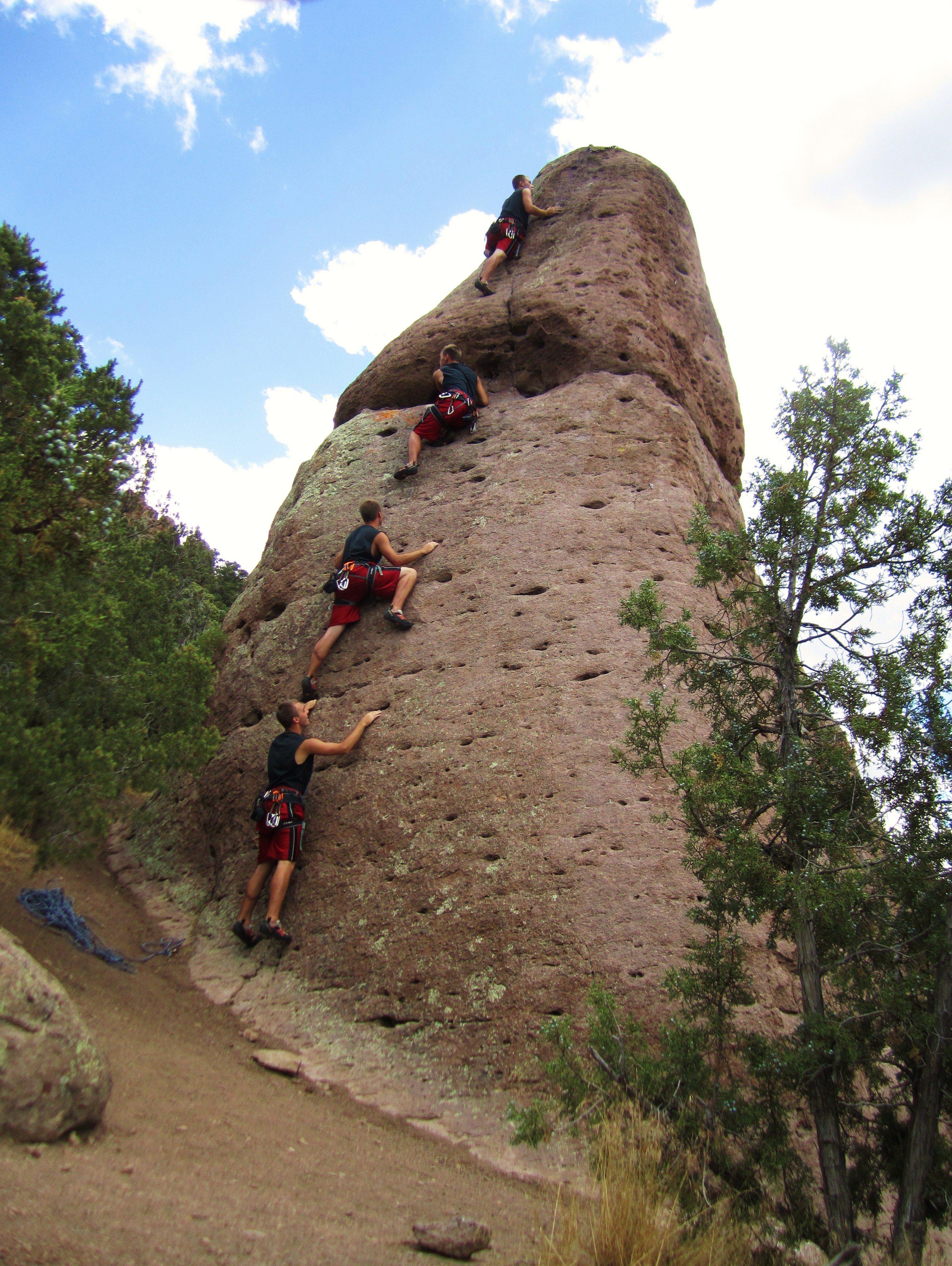
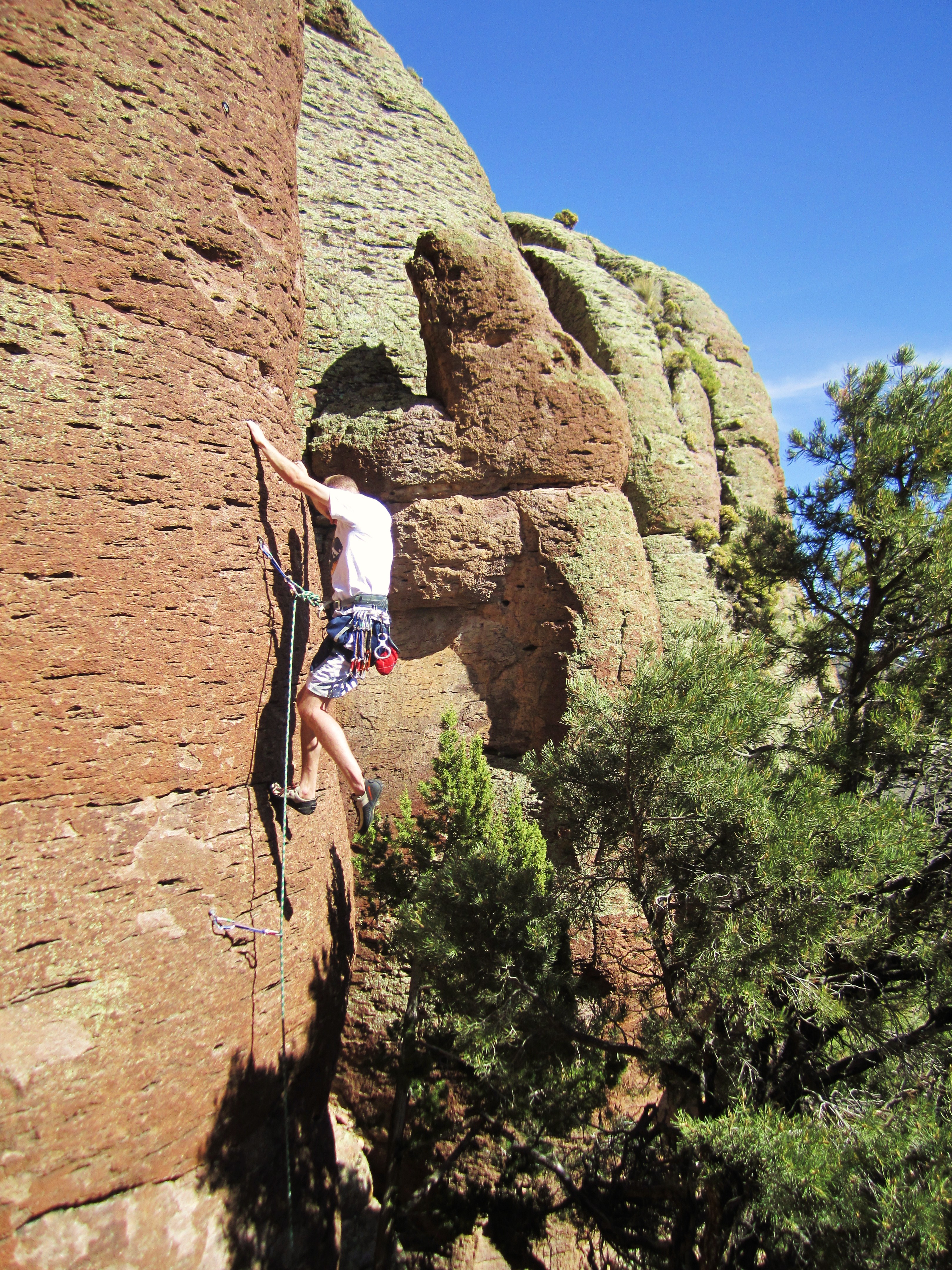
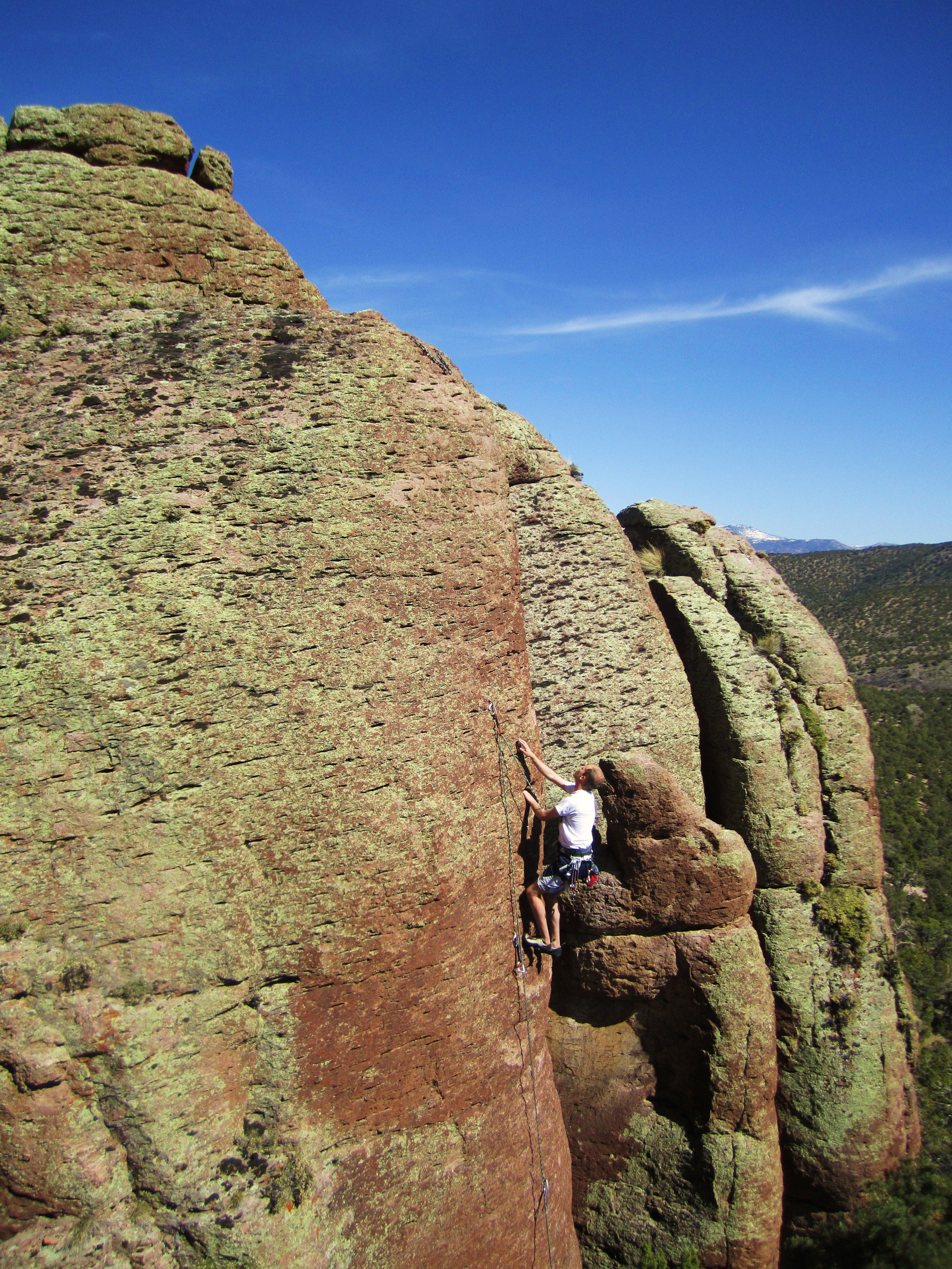
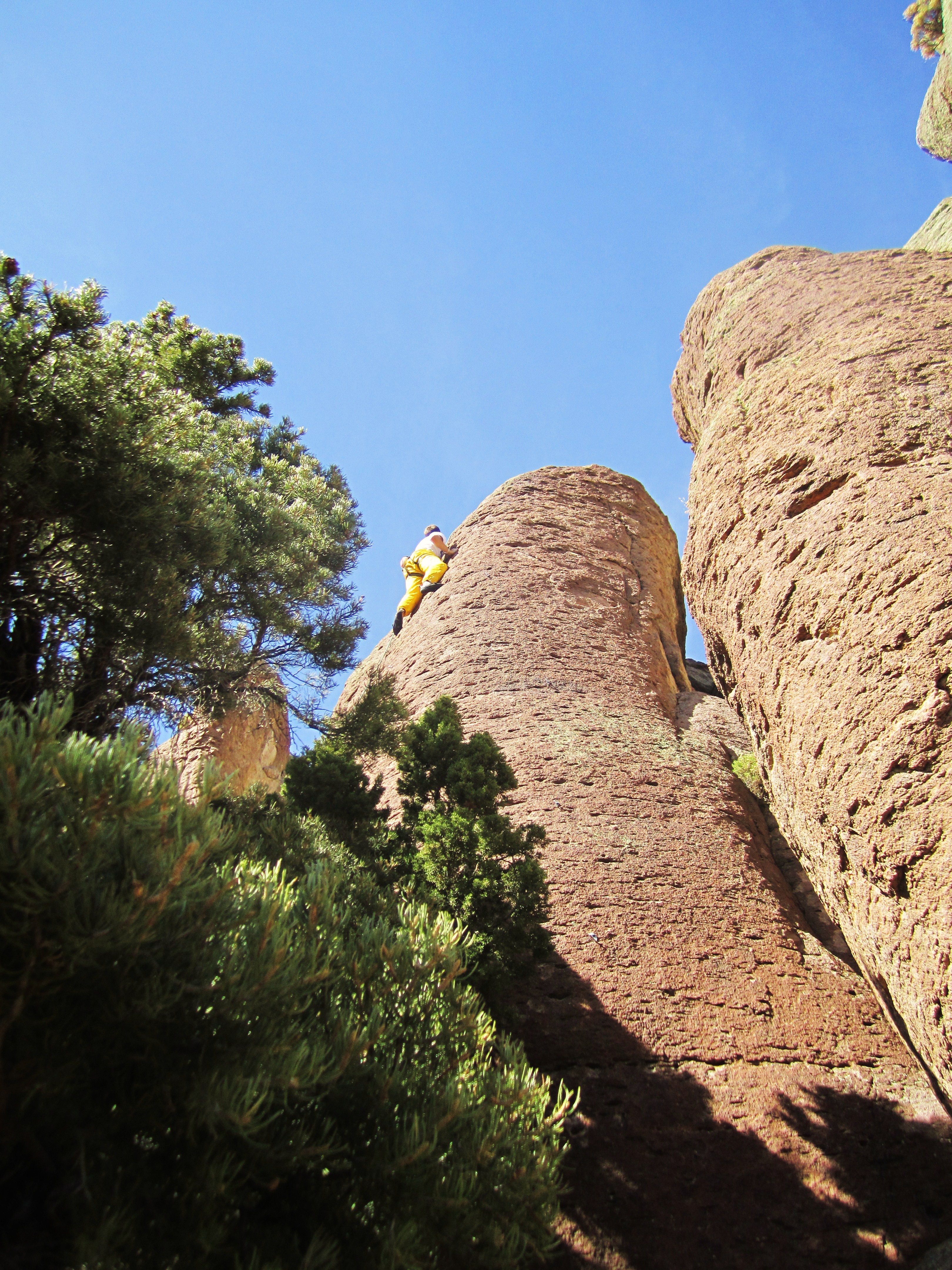
Climbing With Myself
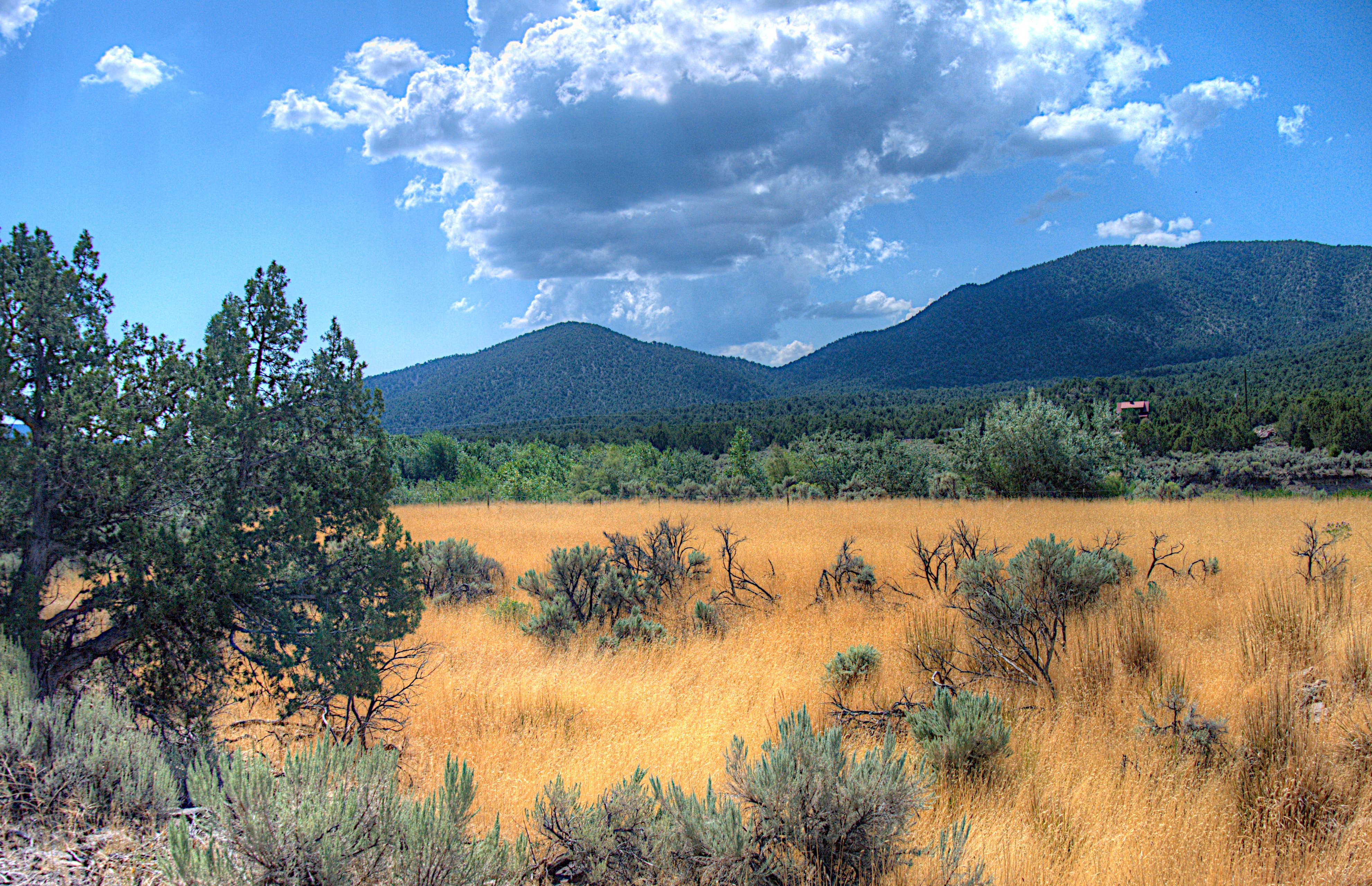
Utah's veldt
Carnivorous Bitch #1
Carnivorous Bitch #2
Carnivorous Bitch #3
Topographic Map of 75 S E, Cedar City, UT, USA
Find elevation by address:

Places near 75 S E, Cedar City, UT, USA:
Old Irontown
New Harmony
Pine Valley, UT, USA
Kanarraville
2882 2070 S
Kolob Canyons Visitor Center
Yellow Pine Campground Road
Pine Valley
1249 E 120 S
98 S Sage Rd
300 S 300 W
540 Mahogany Ln
W S, Cedar City, UT, USA
Iron County
3911 W 100 S
Central
Washington County
Signal Peak
1351 S Providence Center Dr
Mw4c+fq
Recent Searches:
- Elevation of Kambingan Sa Pansol Atbp., Purok 7 Pansol, Candaba, Pampanga, Philippines
- Elevation of Pinewood Dr, New Bern, NC, USA
- Elevation of Mountain View, CA, USA
- Elevation of Foligno, Province of Perugia, Italy
- Elevation of Blauwestad, Netherlands
- Elevation of Bella Terra Blvd, Estero, FL, USA
- Elevation of Estates Loop, Priest River, ID, USA
- Elevation of Woodland Oak Pl, Thousand Oaks, CA, USA
- Elevation of Brownsdale Rd, Renfrew, PA, USA
- Elevation of Corcoran Ln, Suffolk, VA, USA