Elevation of 70 Route de la Lande, Clarens, France
Location: France > Hautes-pyrénées > Clarens >
Longitude: 0.4080115
Latitude: 43.1467631
Elevation: 573m / 1880feet
Barometric Pressure: 95KPa
Elevation Map:
Satellite Map:
Related Photos:
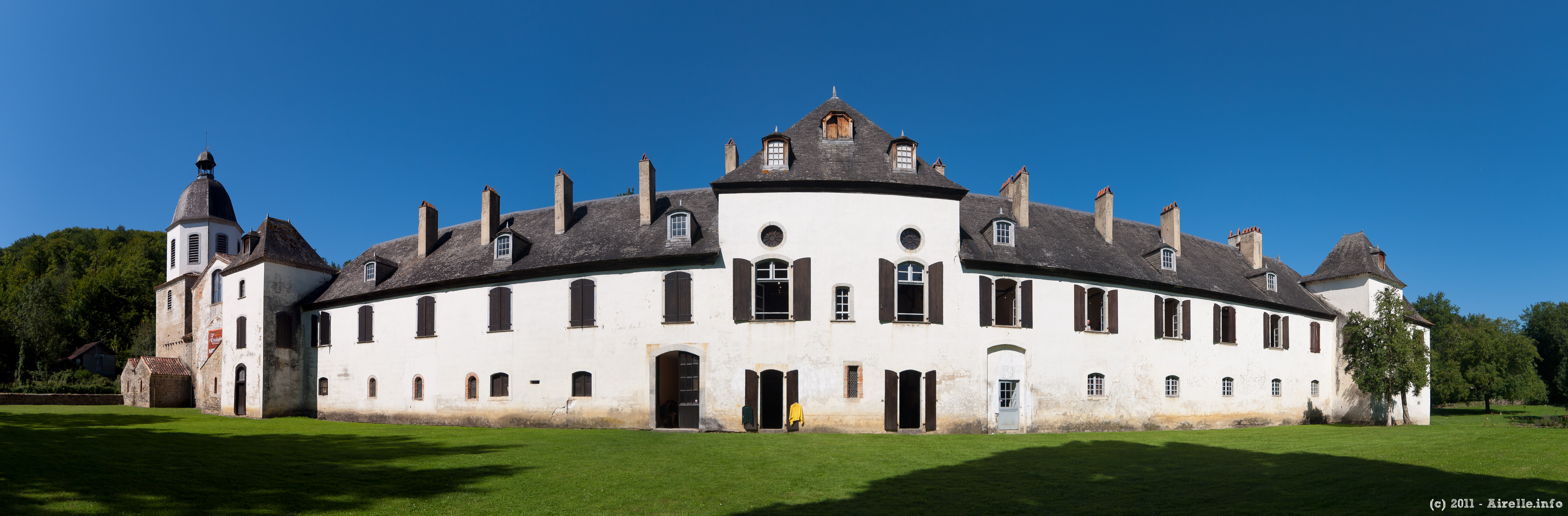
Abbaye de l'Escaladieu
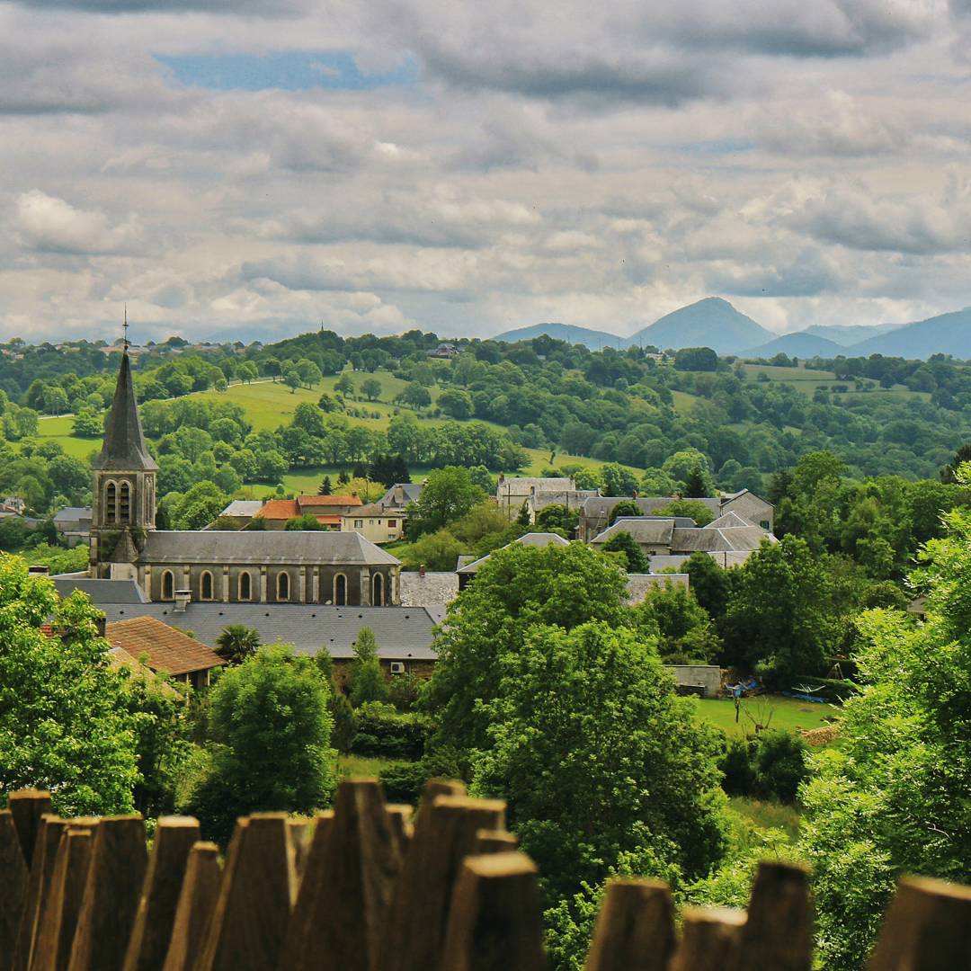
View of the village by the Château de Mauvezin. After the Wars of Religion in the late 1500s, when the castle crumbled, majority of the stones were taken apart to build other buildings in the village. Each stone from the Middle Ages still in existence to
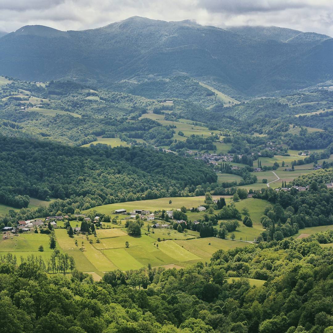
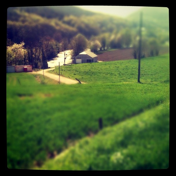
One of the many pretty views from the top of Château de Mauvezin. Castles are almost always built at the peak of a hill/mountain, a spot that makes enemies swear in exhaustion when climbing up to attack. I'm thankful we climbed up the mountain on 4 wheels
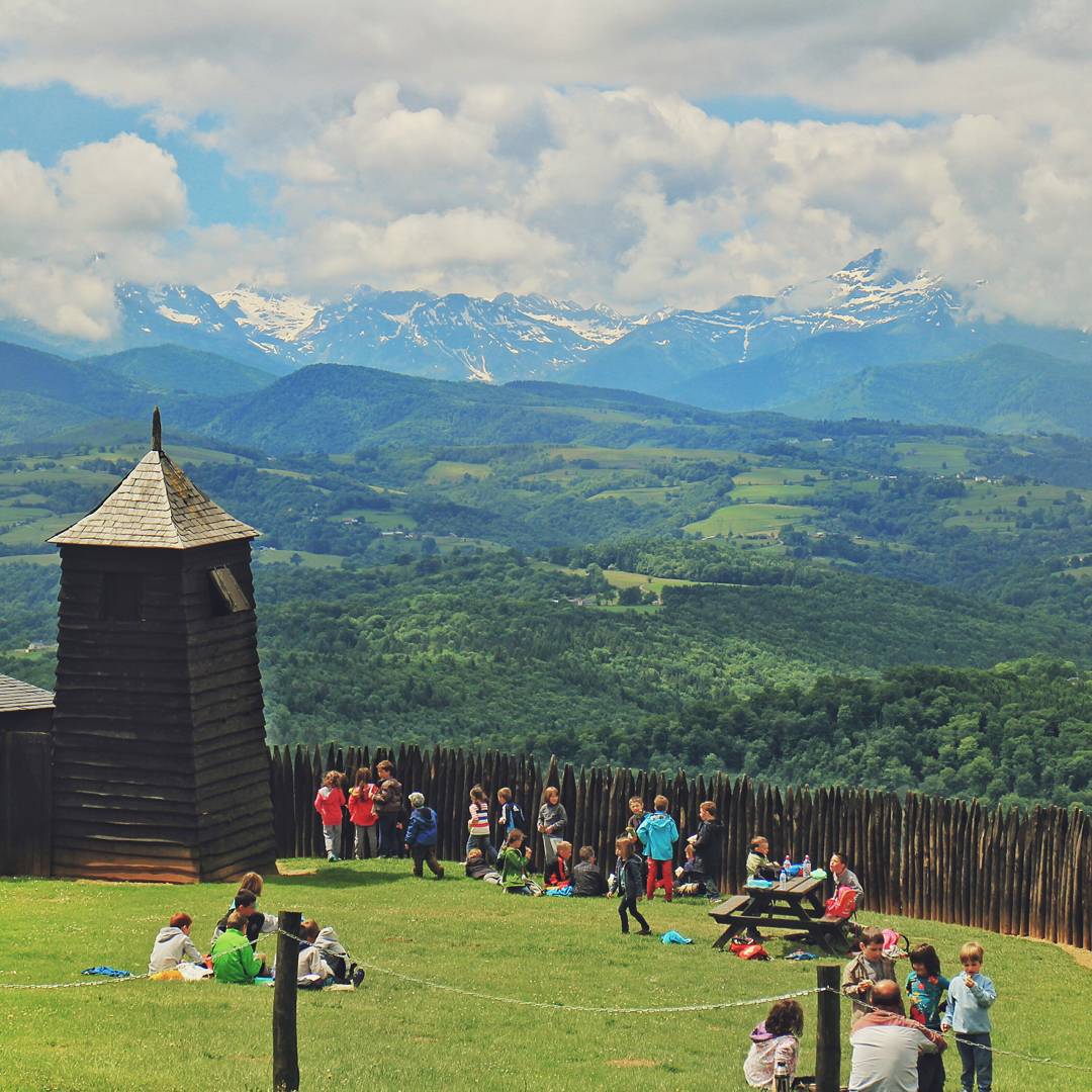
French kindergarten kids playing at the garden before their tour to the castle, with the view of the Pyrenees in the background. If I were one of them, I'd never want to grow up. I'd want to play at this garden all my life and enjoy the peace, quiet and b
Spring has most certainly sprung here
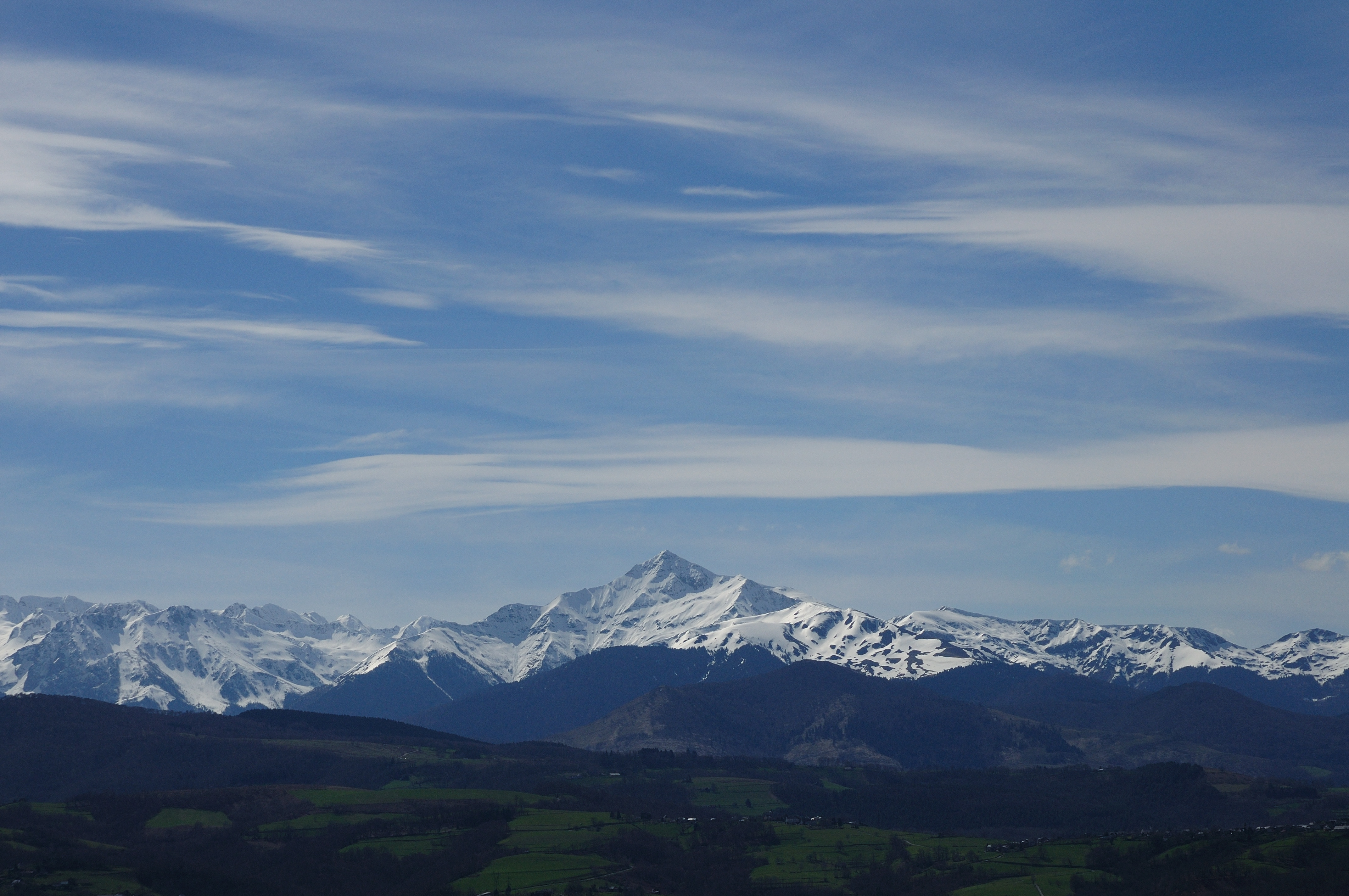
Last snow in the Pyrénées...
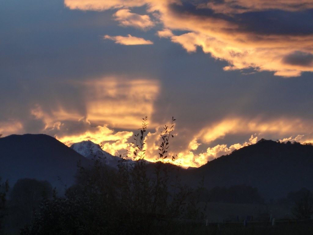
Image 3
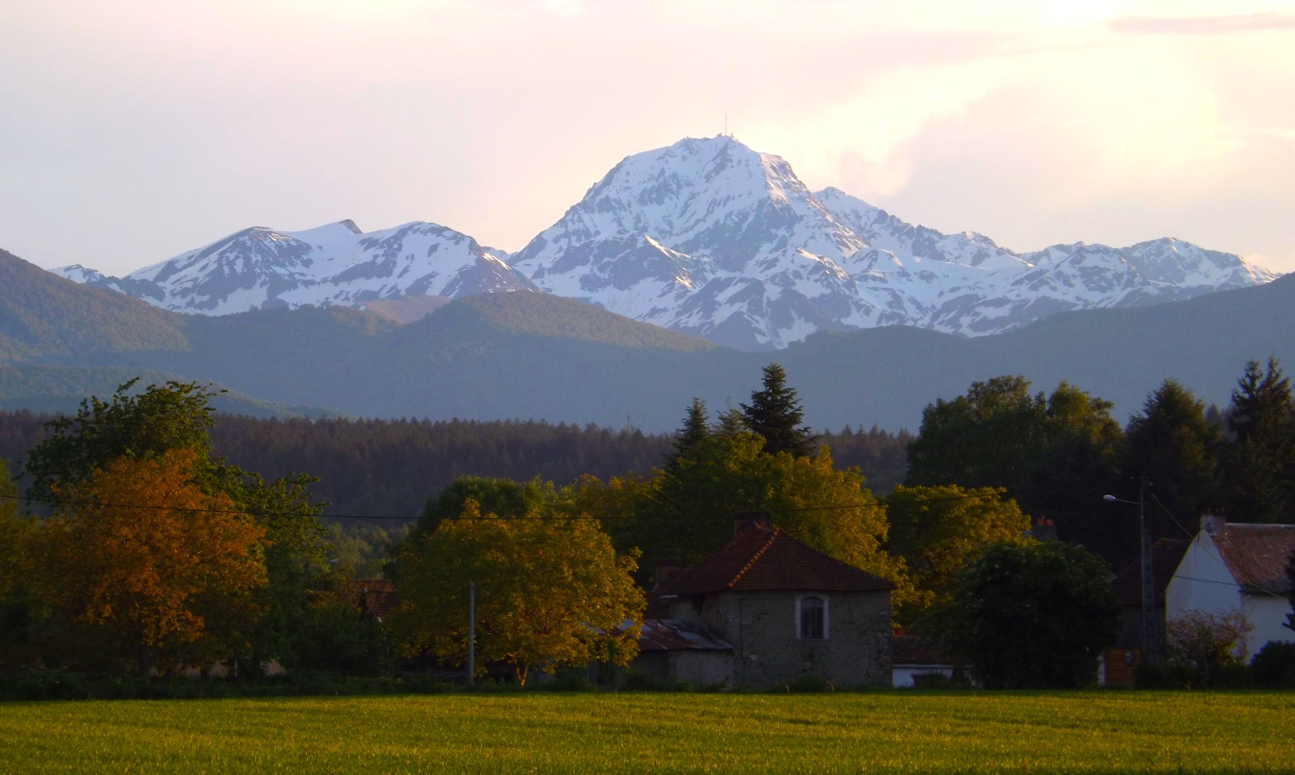
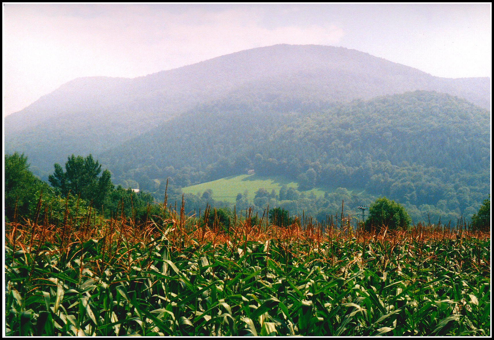
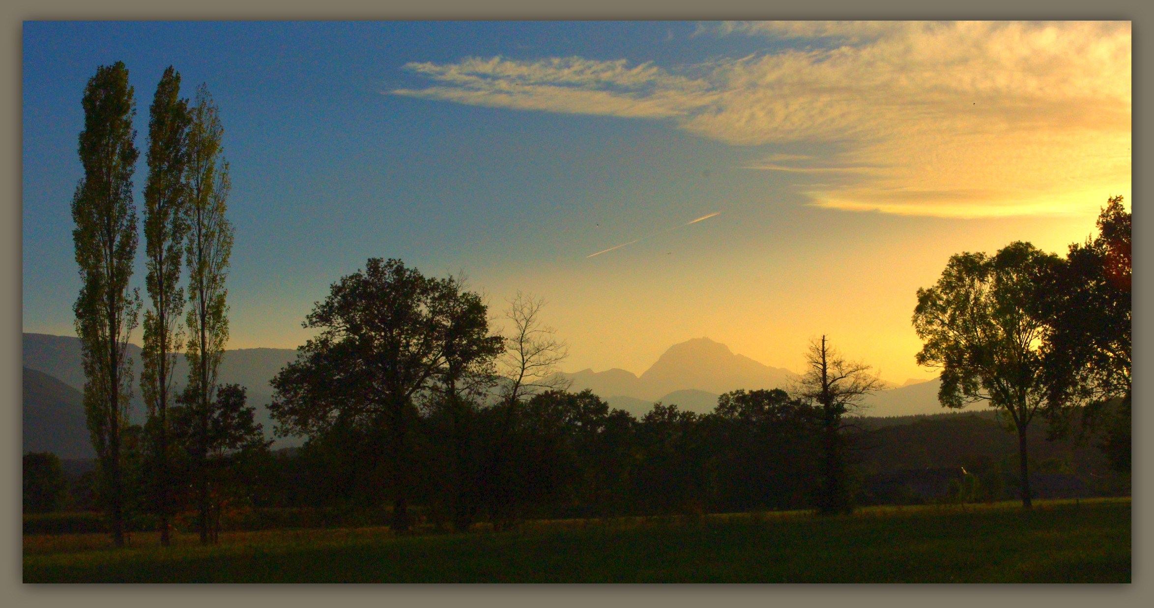
Pyrénées EL PADRE picture. Pic du Montaigu.
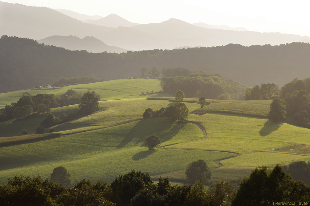
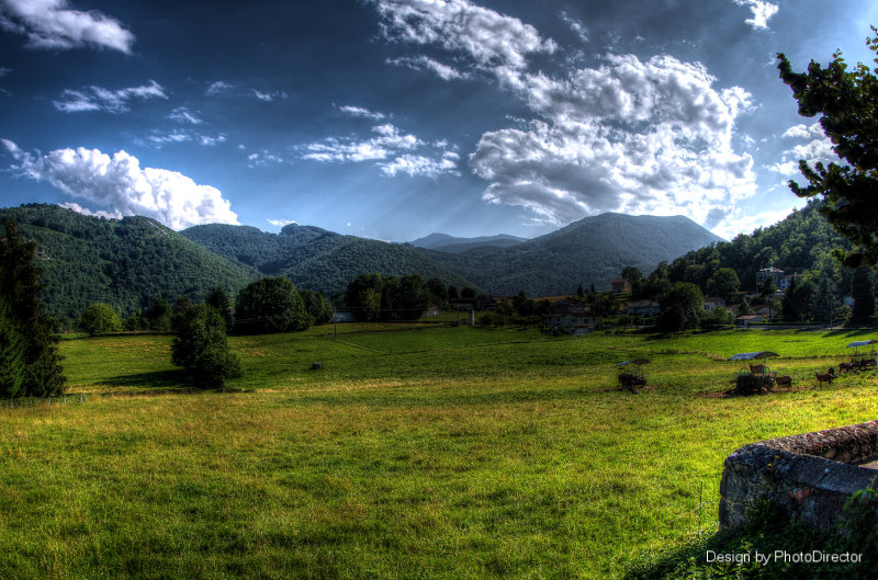
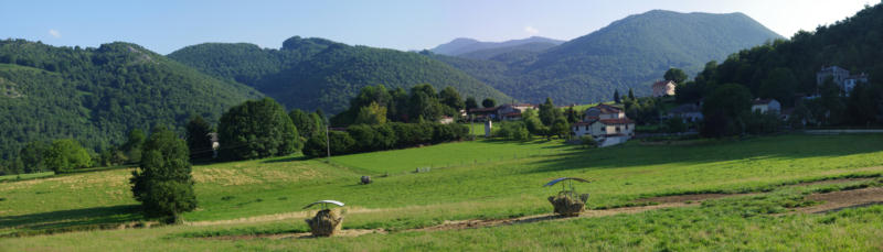
Lortet, Hautes Pyrénées, paysage des Quatres vallées
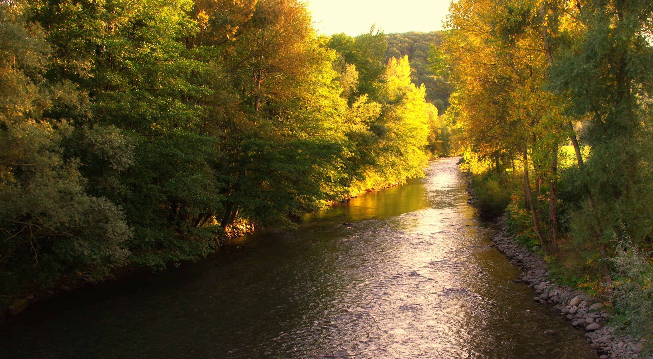
La Neste d'Aure à La Barthe. (Hautes Pyrénées, France).

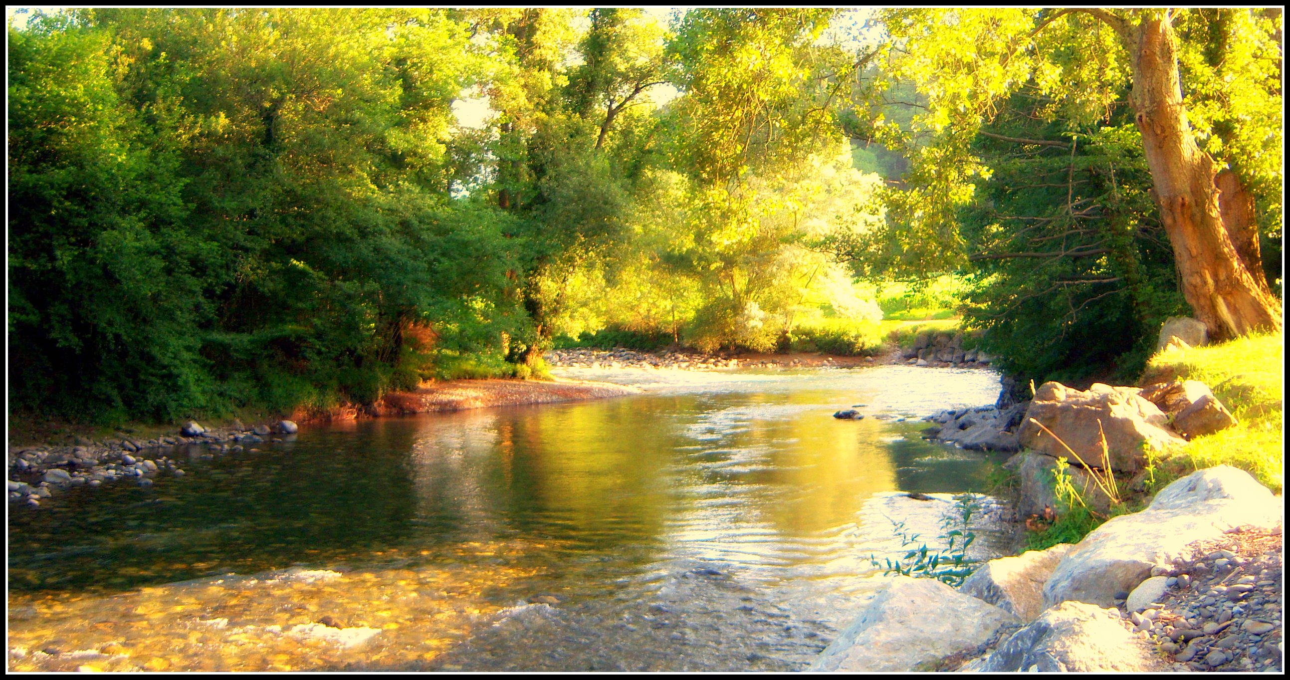
La Baïsolle (Hautes Pyrénées, France).

Vue du château de Mauvezin (Htes-Pyrénées), dimanche 21 juin 2015
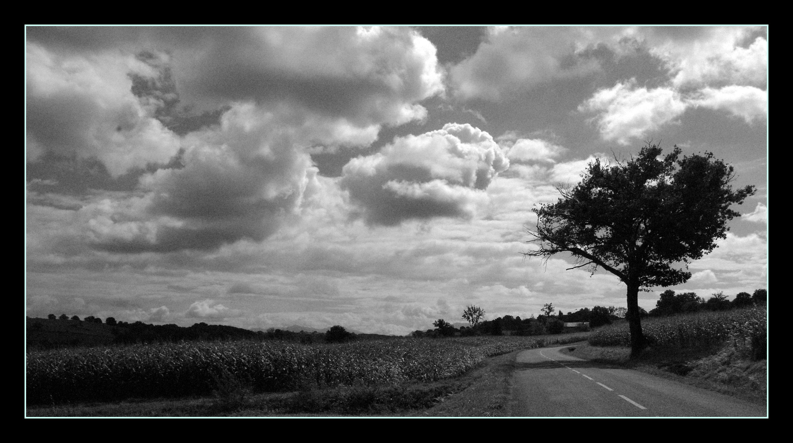
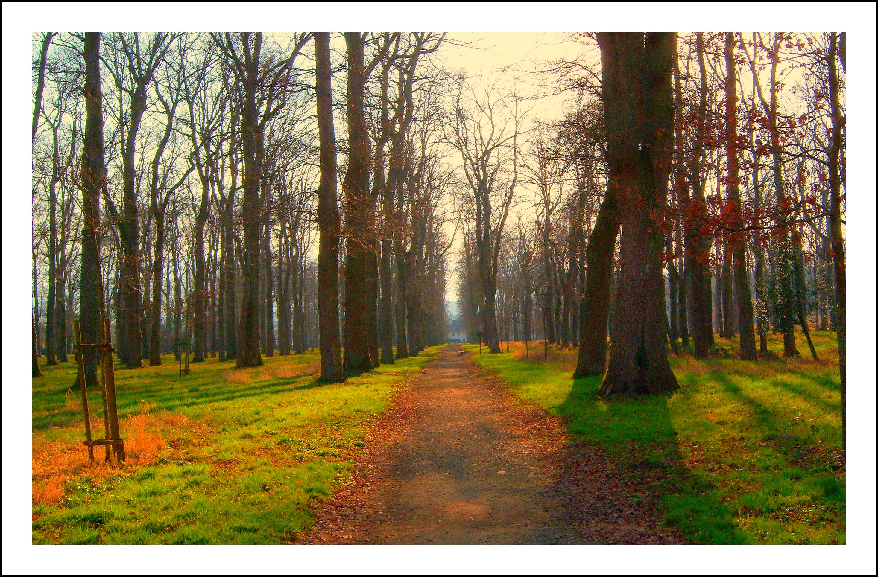
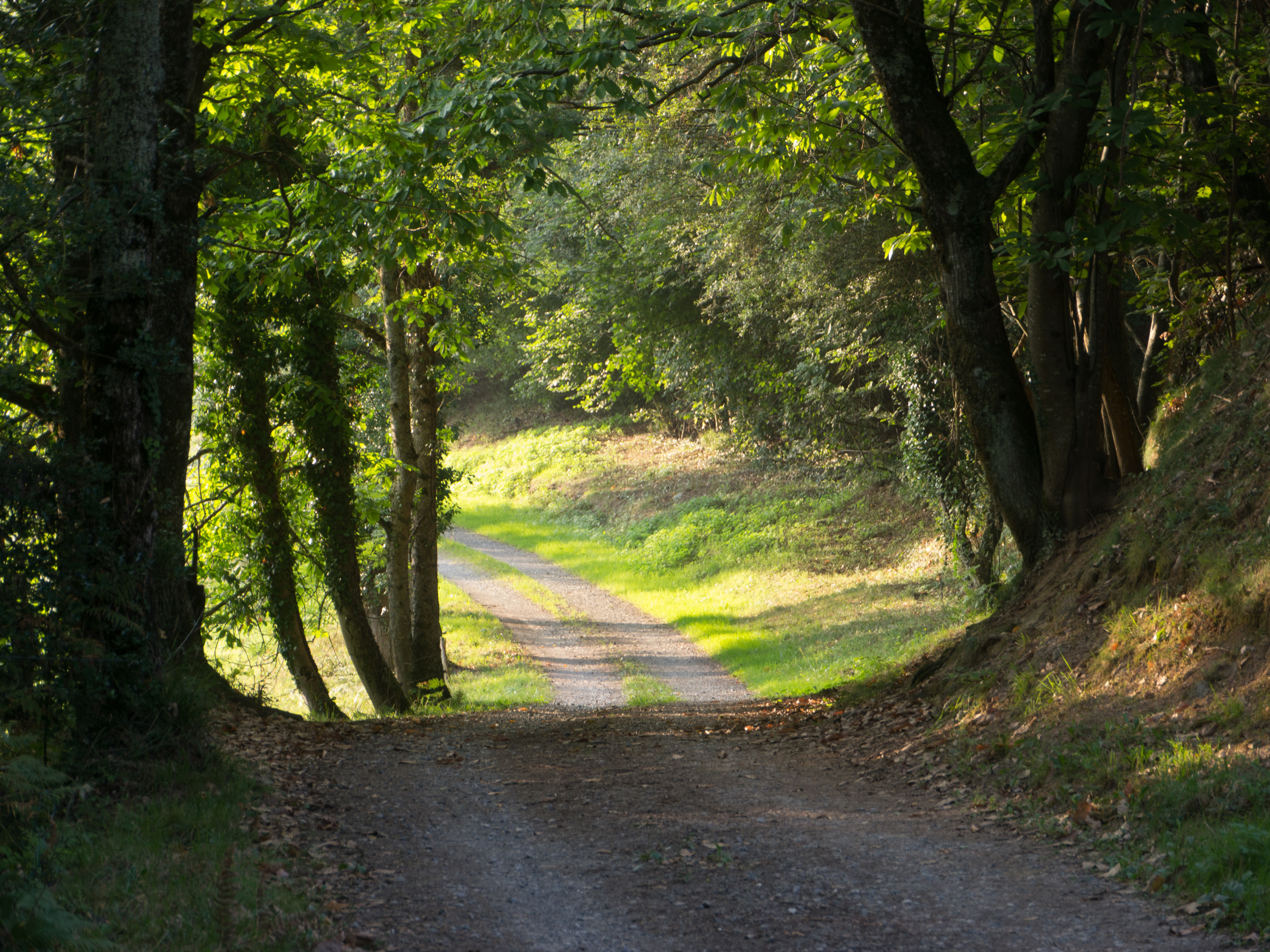
La petite départementale...
La Neste d' Aure (Hautes Pyrénées).
La Barthe de Neste, sentier des Plantades.
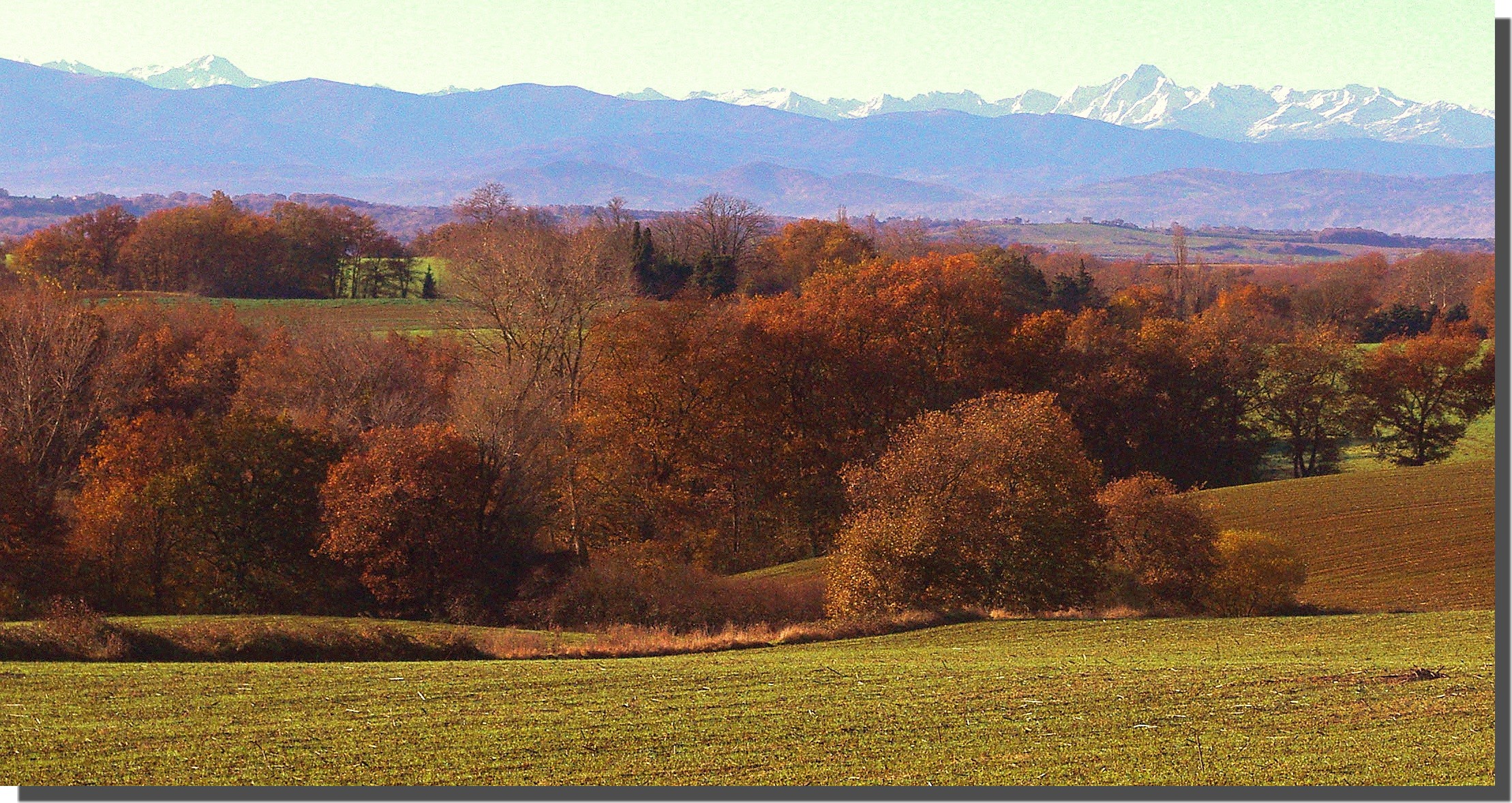
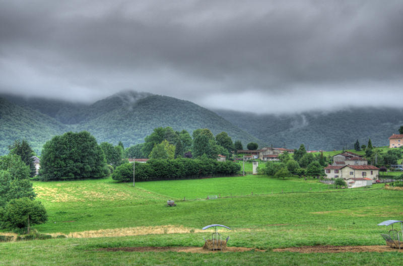
Le piémont pyrénéen (France).
Such a small lovely world
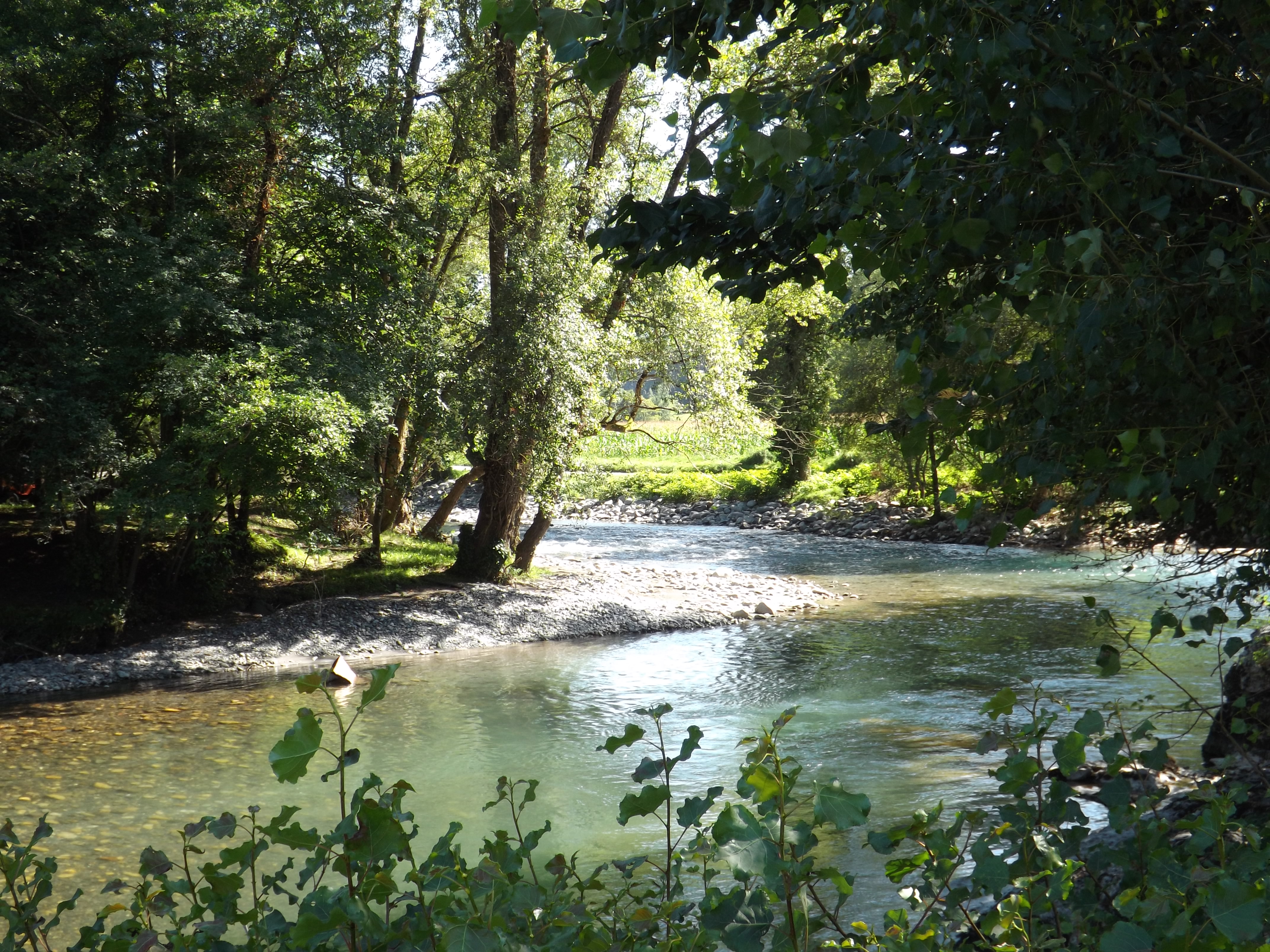
La Neste d'Aure à son étiage d'été...
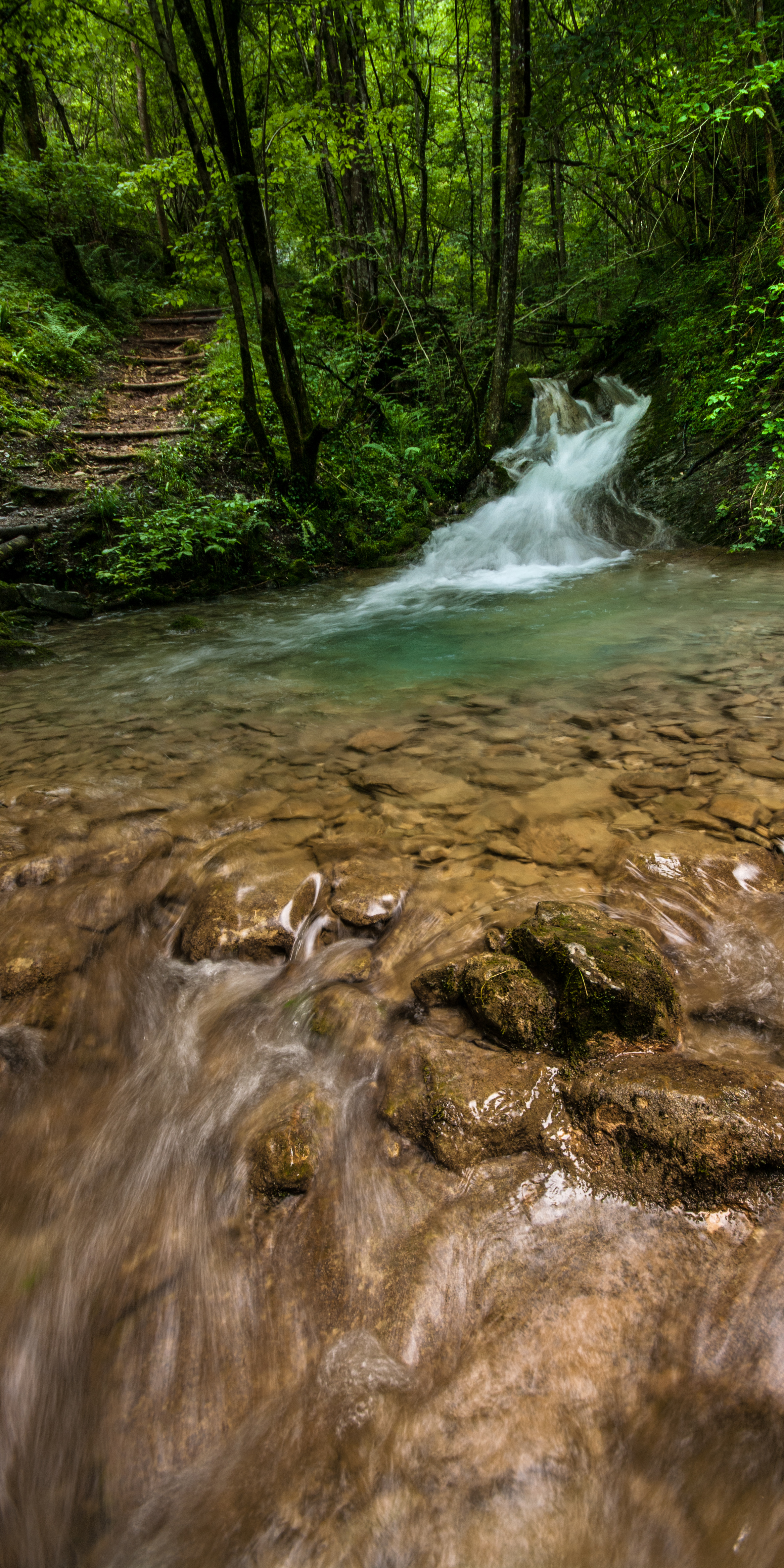
Déversoir de la cascade du Pountil.
IMGP6698_699_700 HDR Bize
20120910-06373536.jpg
IMGR1958 HDR-2
20120915-18091329
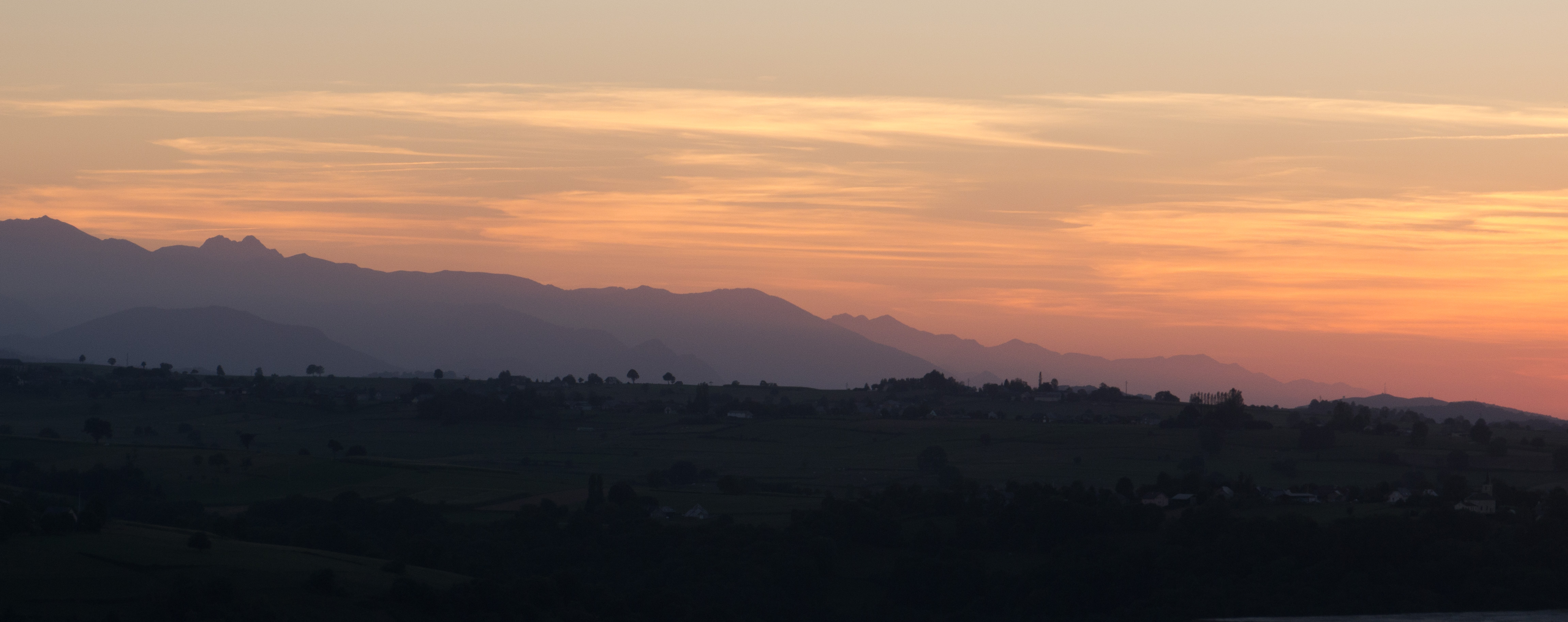
Dans une gloire d'or...soir de Bigorre (Hautes Pyrénées, France).
IMGP7941-58 Pano Bize
Topographic Map of 70 Route de la Lande, Clarens, France
Find elevation by address:

Places near 70 Route de la Lande, Clarens, France:
Clarens
Recurt
3 Quartier au Bourg, Recurt, France
81 Chemin de la Palisse, Lutilhous, France
Lutilhous
Saint-arroman
61 Chemin de la Serre, Mauvezin, France
Avezac-prat-lahitte
27 Cami de Palouma, Avezac-Prat-Lahitte, France
6 Chemin de Cabanes, Puydarrieux, France
Mauvezin
Puydarrieux
17 La Carrère, Lustar, France
Lustar
Ricaud
1 La Cazalere, Ricaud, France
Tournay
1 Dat, Vidou, France
Montréjeau
Escots
Recent Searches:
- Elevation of Jalan Senandin, Lutong, Miri, Sarawak, Malaysia
- Elevation of Bilohirs'k
- Elevation of 30 Oak Lawn Dr, Barkhamsted, CT, USA
- Elevation of Luther Road, Luther Rd, Auburn, CA, USA
- Elevation of Unnamed Road, Respublika Severnaya Osetiya — Alaniya, Russia
- Elevation of Verkhny Fiagdon, North Ossetia–Alania Republic, Russia
- Elevation of F. Viola Hiway, San Rafael, Bulacan, Philippines
- Elevation of Herbage Dr, Gulfport, MS, USA
- Elevation of Lilac Cir, Haldimand, ON N3W 2G9, Canada
- Elevation of Harrod Branch Road, Harrod Branch Rd, Kentucky, USA