Elevation of 70 Kamenice nad Lipou, Czech Republic
Location: Czech Republic > Vysocina Region > Pelhřimov District >
Longitude: 15.0751918
Latitude: 49.3030359
Elevation: 564m / 1850feet
Barometric Pressure: 95KPa
Elevation Map:
Satellite Map:
Related Photos:

تشيكيه عنيده

Doubravka - Child Portrait

I would like to have some brainy witty title here but I'm not much of a thinker so I call it ... Hanging Servants

Packed Memories

Červená Lhota

Sun is fire
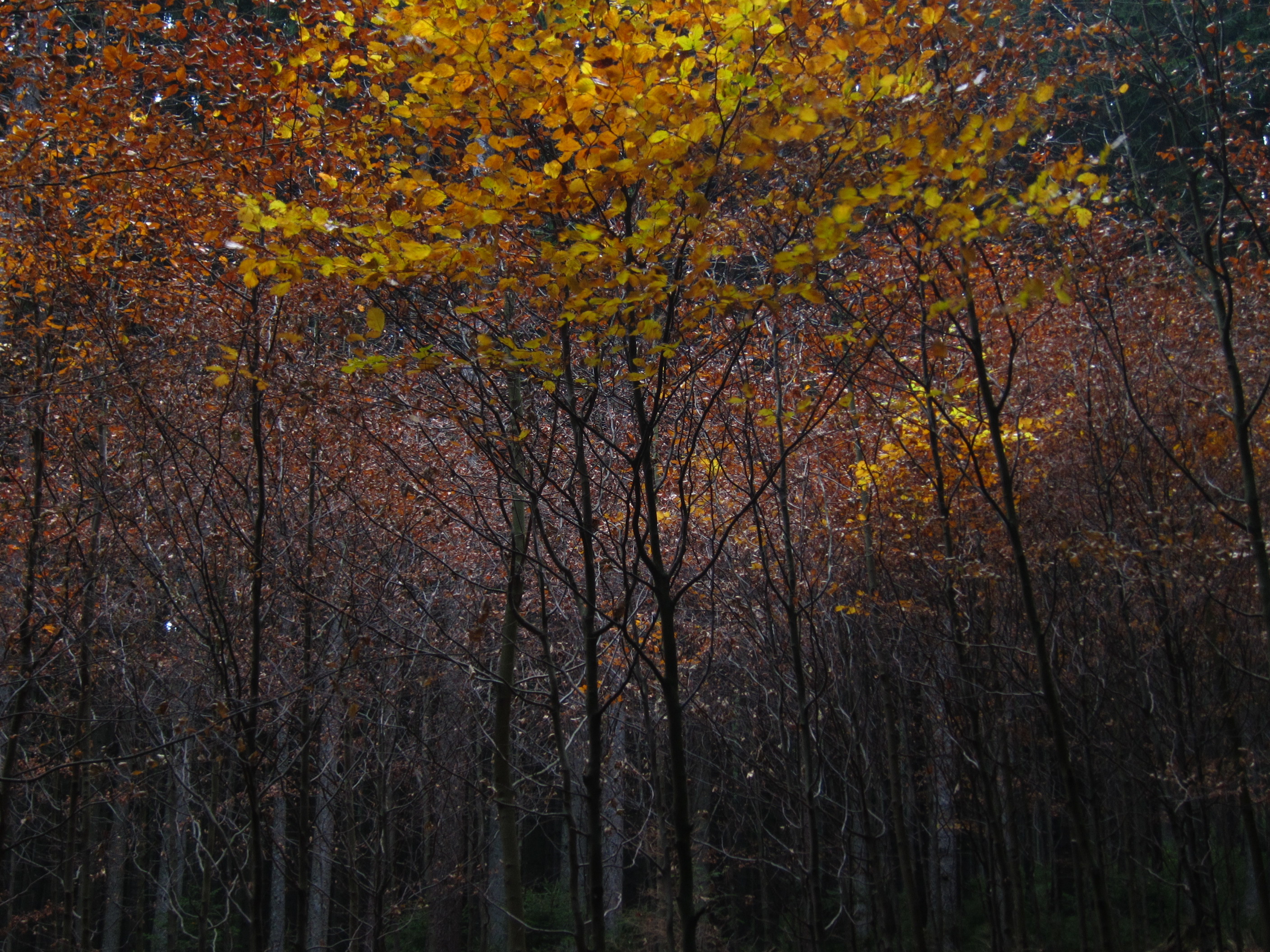
olmos en otoño

Obilné pole / A wheat field
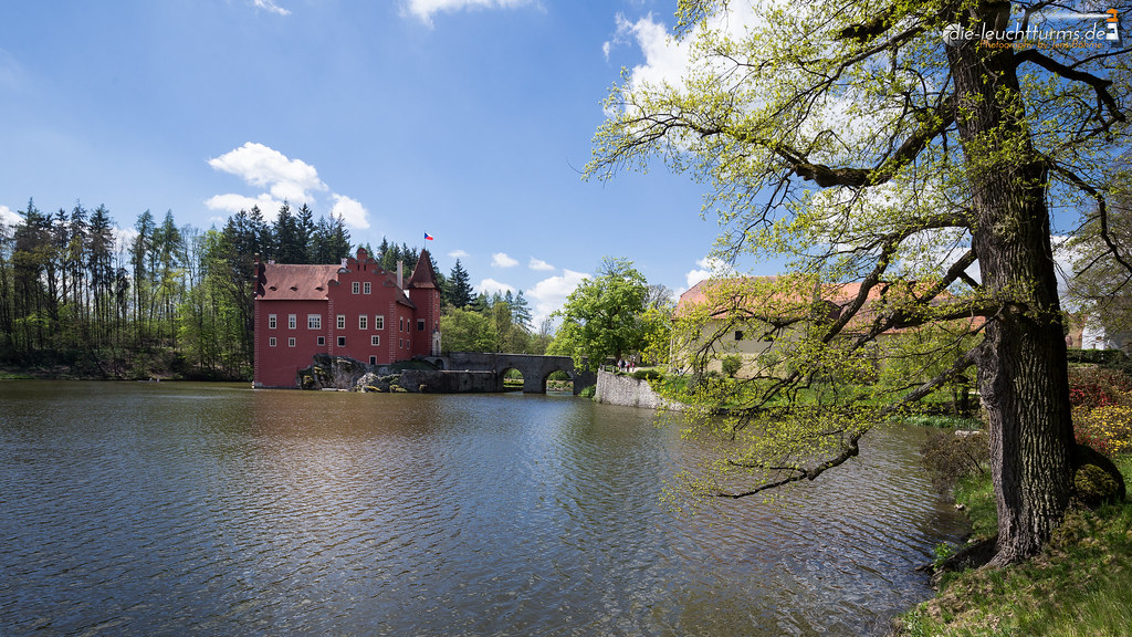
Červená Lhota

Zirovnice Castle

Pluhův Žd'ár, Jindřichův Hradec, Czech Republic
DSC_9546.JPG
Výhled z kopce Kostelík u Hadravovy Rosičky, Jindřichův Hradec, Czech Republic

DSC_9550.JPG

捷克-巴德傑維契+庫倫洛夫

Sklizeno, Světce, Jindřichův Hradec, Czech Republic

XI. bivak, Červená Lhota, Jindřichův Hradec, Czech Republic

捷克-巴德傑維契+庫倫洛夫

Telč 帖契 to CK 庫倫洛夫

Cervena Lhota

Megalitický kruh u Studnic, Jindřichův Hradec, Czech Republic

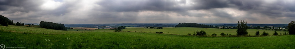
Výhled od Lítkovic, Pelhřimov, Czech Republic

Výhled od Lítkovic na Žirovnici, Pelhřimov, Czech Republic
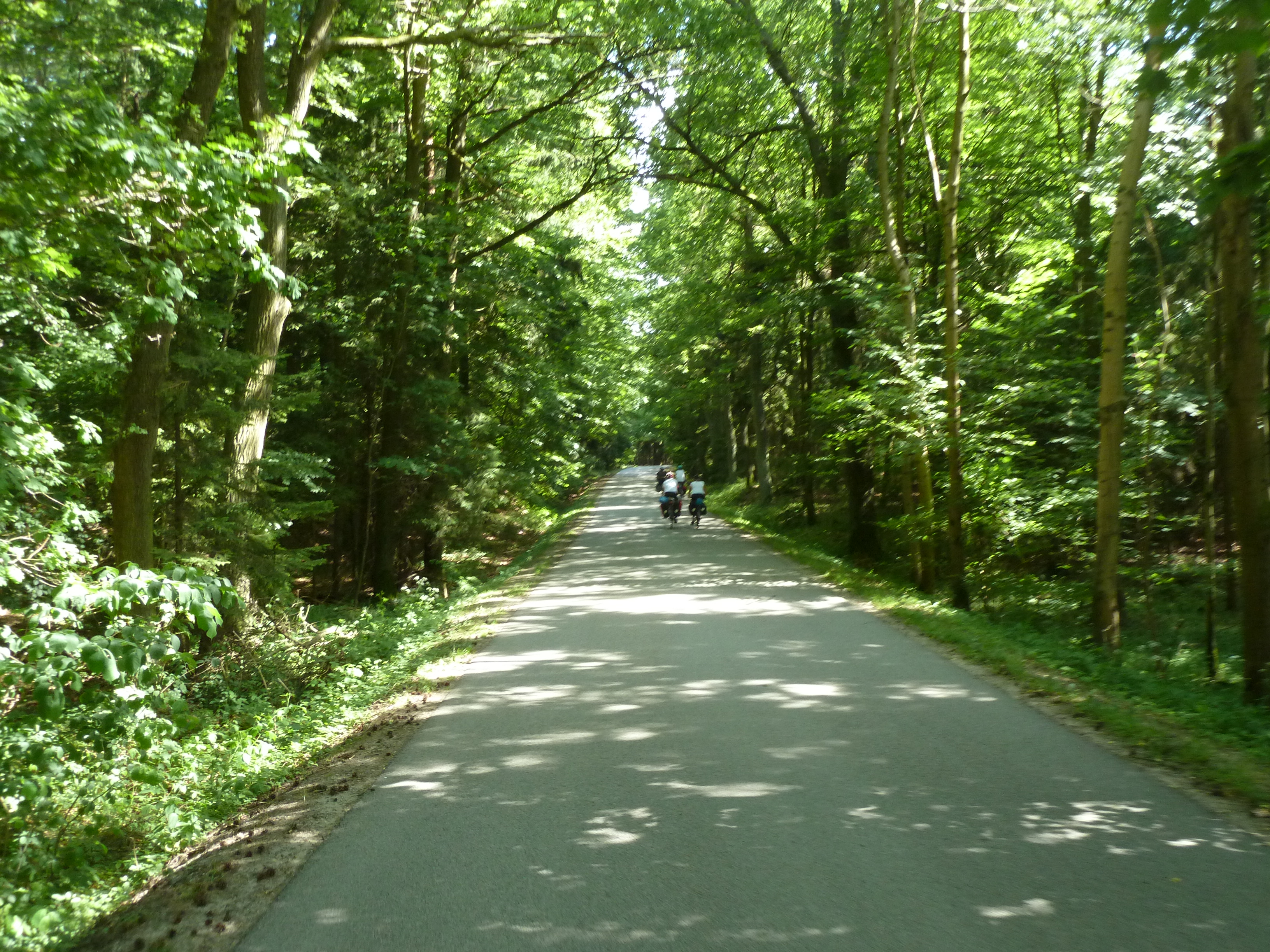
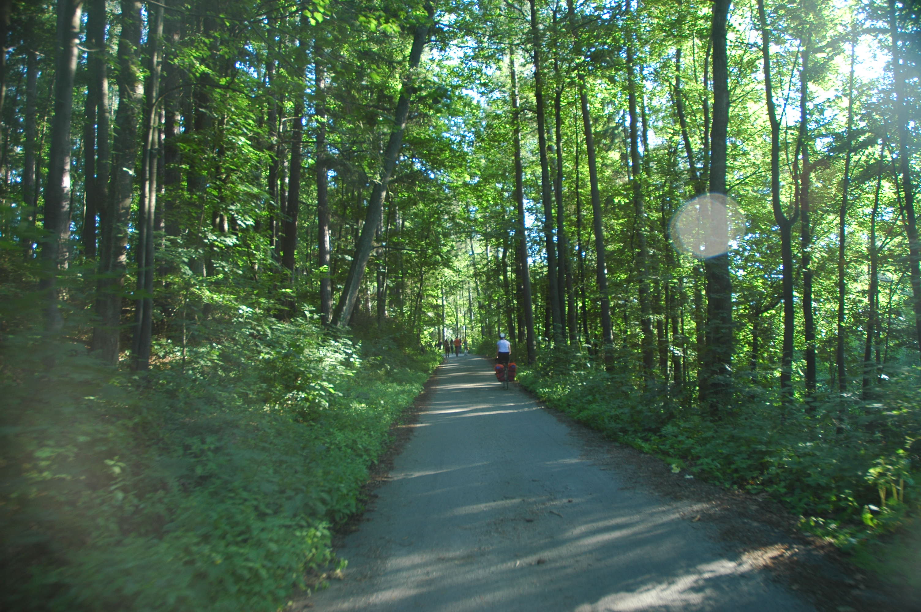
Greenways Prague-Vienna

Himmelblau im Spiegel
Topographic Map of 70 Kamenice nad Lipou, Czech Republic
Find elevation by address:

Places in 70 Kamenice nad Lipou, Czech Republic:
Places near 70 Kamenice nad Lipou, Czech Republic:
Johanka 38, 70 Kamenice nad Lipou, Czech Republic
Johanka
Vodná 52, 70 Kamenice nad Lipou, Czech Republic
Vodná
Kámen
Nízká Lhota 7, 01 Kámen, Czech Republic
Nízká Lhota
Pelhřimov District
Hronova, 01 Pacov, Czech Republic
Pacov
Milotičky
Milotičky 1, 01 Červená Řečice, Czech Republic
Pelhrimov
Těchoraz
Těchoraz 22, 01 Červená Řečice, Czech Republic
Červená Řečice
Arneštovice 46, 01 Arneštovice, Czech Republic
Arneštovice
Služátky 2, 01 Pelhřimov, Czech Republic
Služátky
Recent Searches:
- Elevation of Crystal Cir, Birmingham, AL, USA
- Elevation of N Railroad Ave, West Palm Beach, FL, USA
- Elevation of 55 Cassick Valley Rd, Wellfleet, MA, USA
- Elevation of Ironwood Dr, Minden, NV, USA
- Elevation of 高尾山口駅, Takaomachi, Hachioji, Tokyo -, Japan
- Elevation of 15 Victory Ave, Greenville, SC, USA
- Elevation of Kota Ternate Utara, Ternate City, North Maluku, Indonesia
- Elevation of Allon St, Oceanside, NY, USA
- Elevation of Carroll Creek Rd, Custer, SD, USA
- Elevation of Lust Road, Lust Rd, Florida, USA