Elevation of 6 Wendell St, Mattapoisett, MA, USA
Location: United States > Massachusetts > Plymouth County > Mattapoisett > Mattapoisett Center >
Longitude: -70.783494
Latitude: 41.6527167
Elevation: 2m / 7feet
Barometric Pressure: 101KPa
Elevation Map:
Satellite Map:
Related Photos:
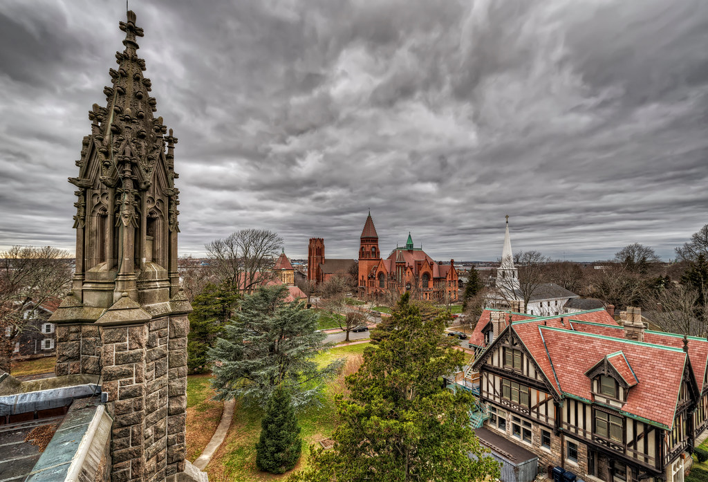
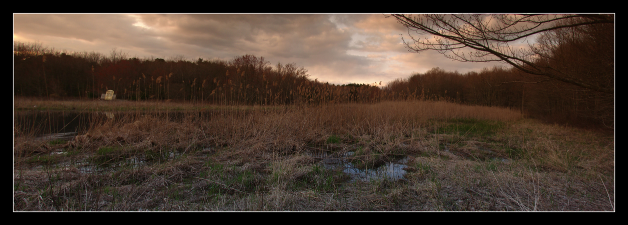
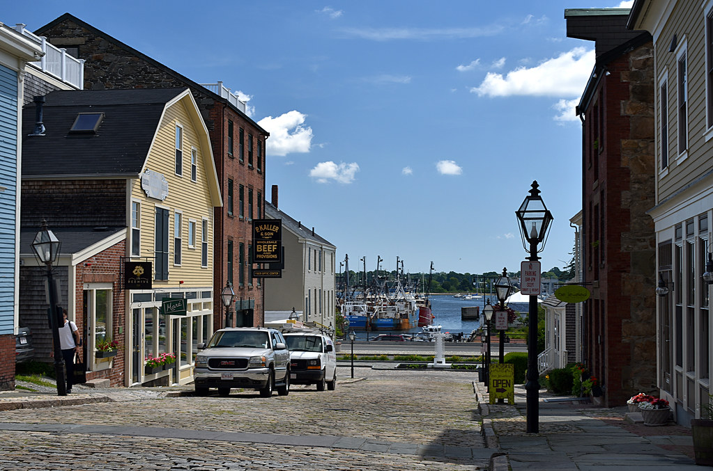
Fairhaven, MA

. Sunrise view and you...❤ #feelingblessed

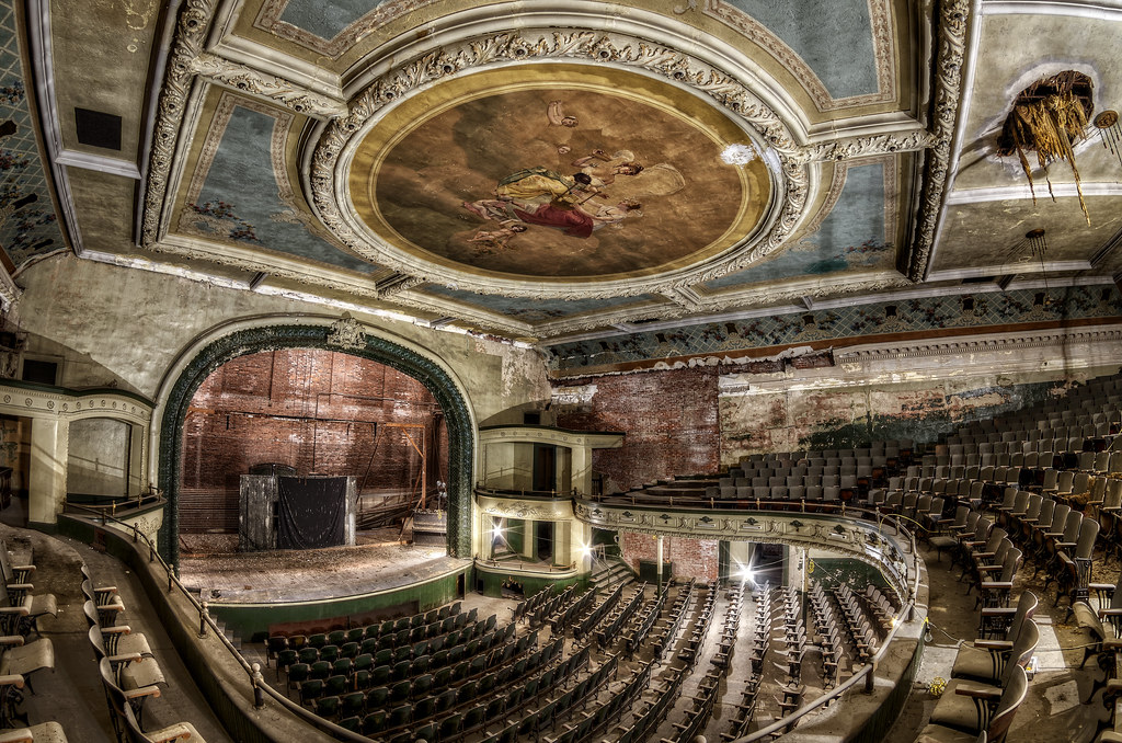
View of the Stage

Observation Deck View

Foggy Ernestina
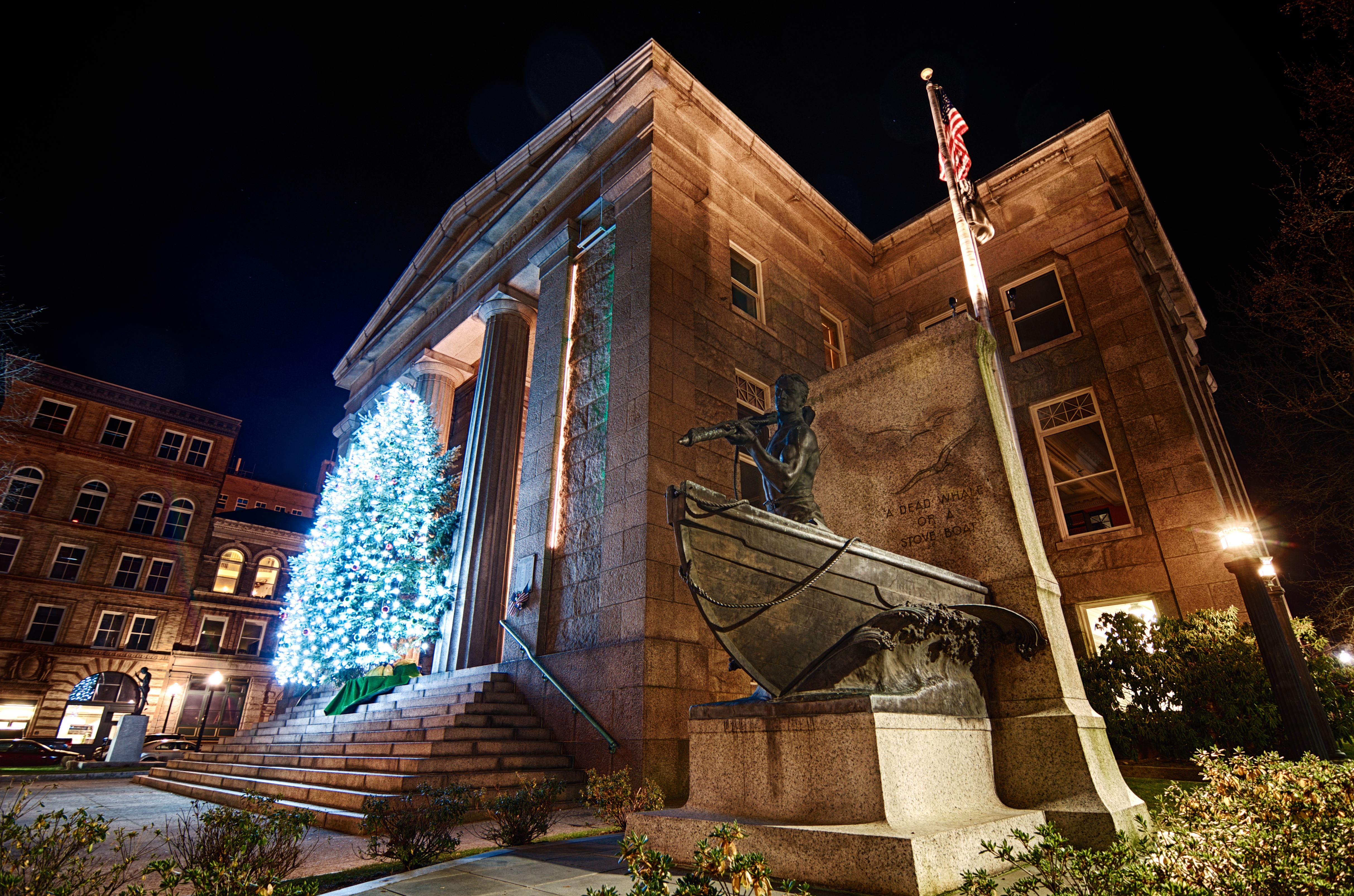
The Whaleman

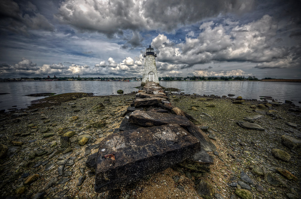
Ned's Point Lighthouse, Mattapoisett, Massachusetts
US-CS-00002

Igreja de Santo Antonio de Pádua (Lisboa)
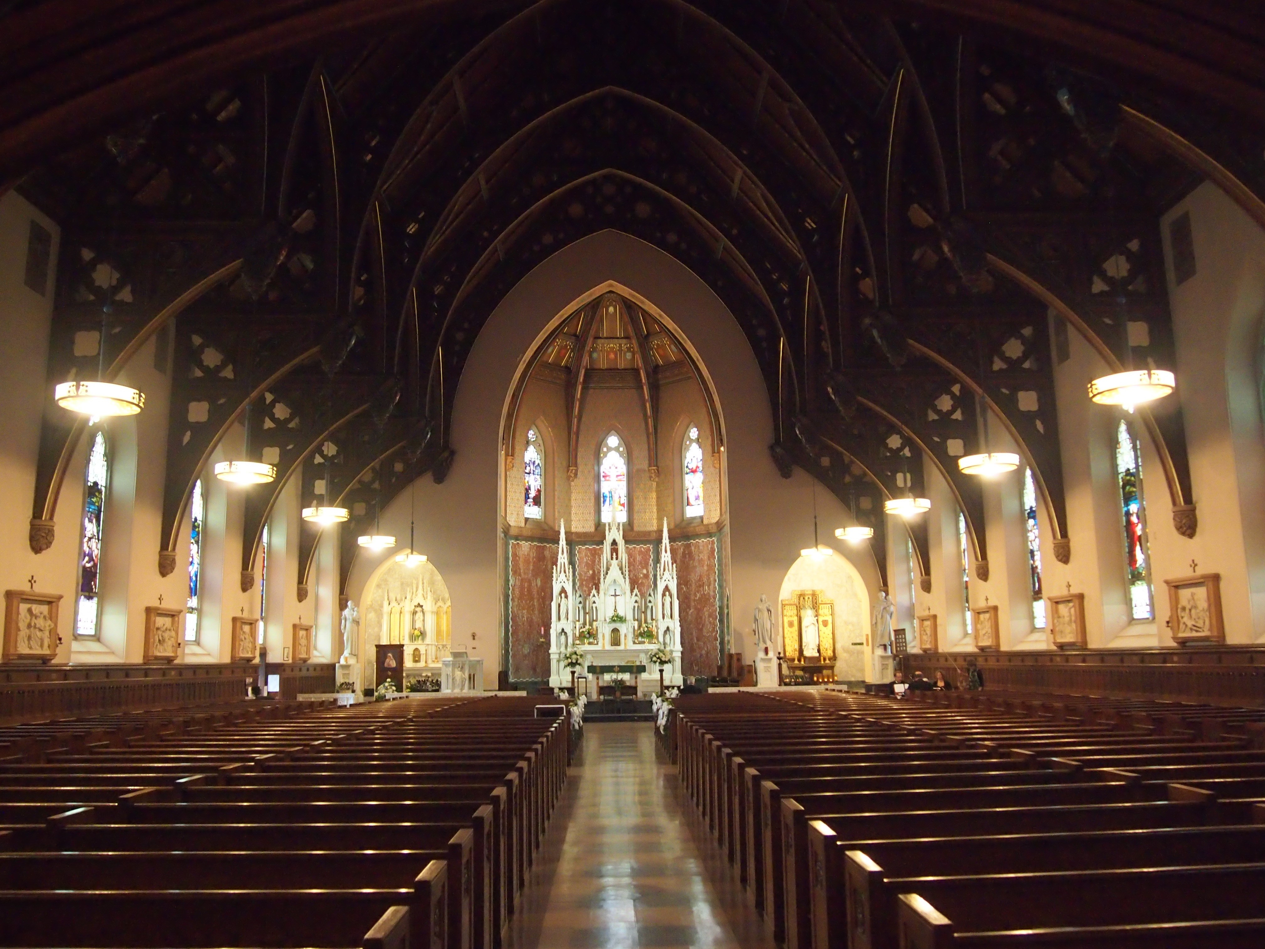
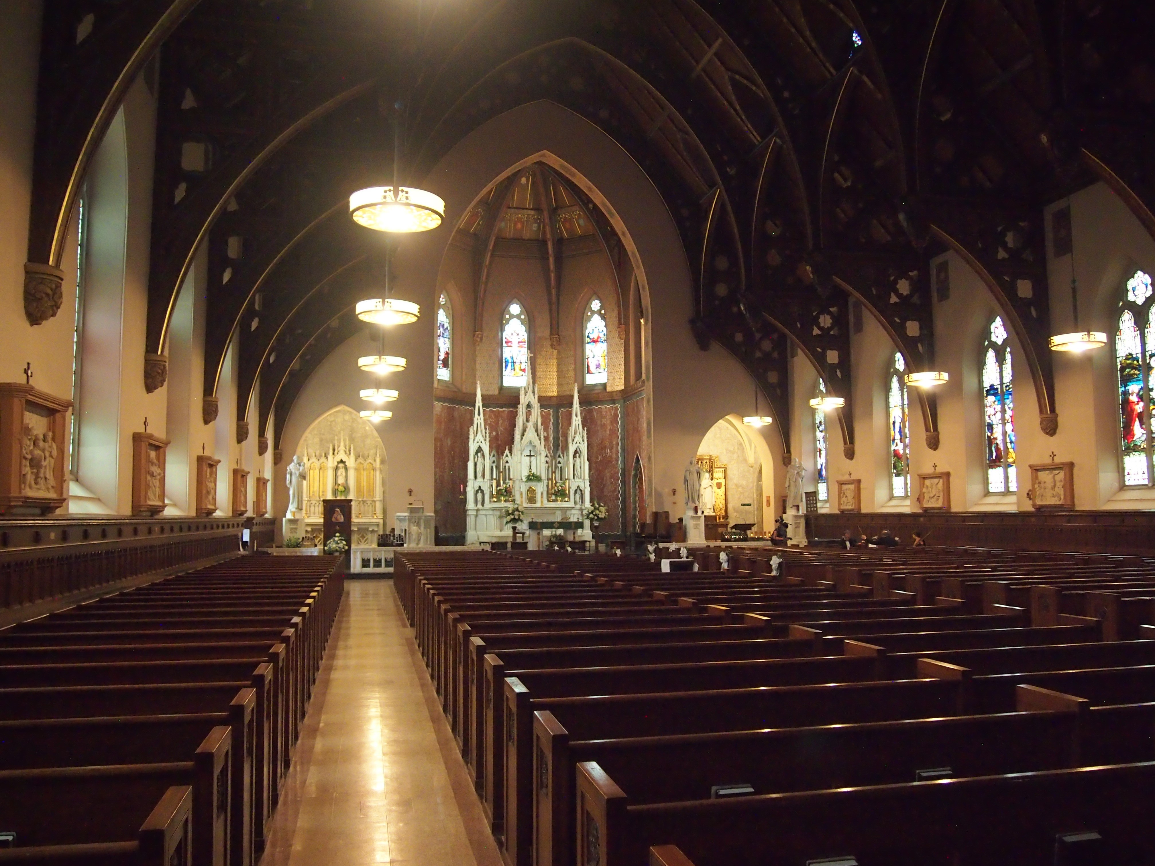
St Lawrence the Martyr

The Robber Fly

Travessia Urban Winery
Riverside Grass
Palmers Island Lighthouse

Kilburn Mills
The Sleeping Beauty
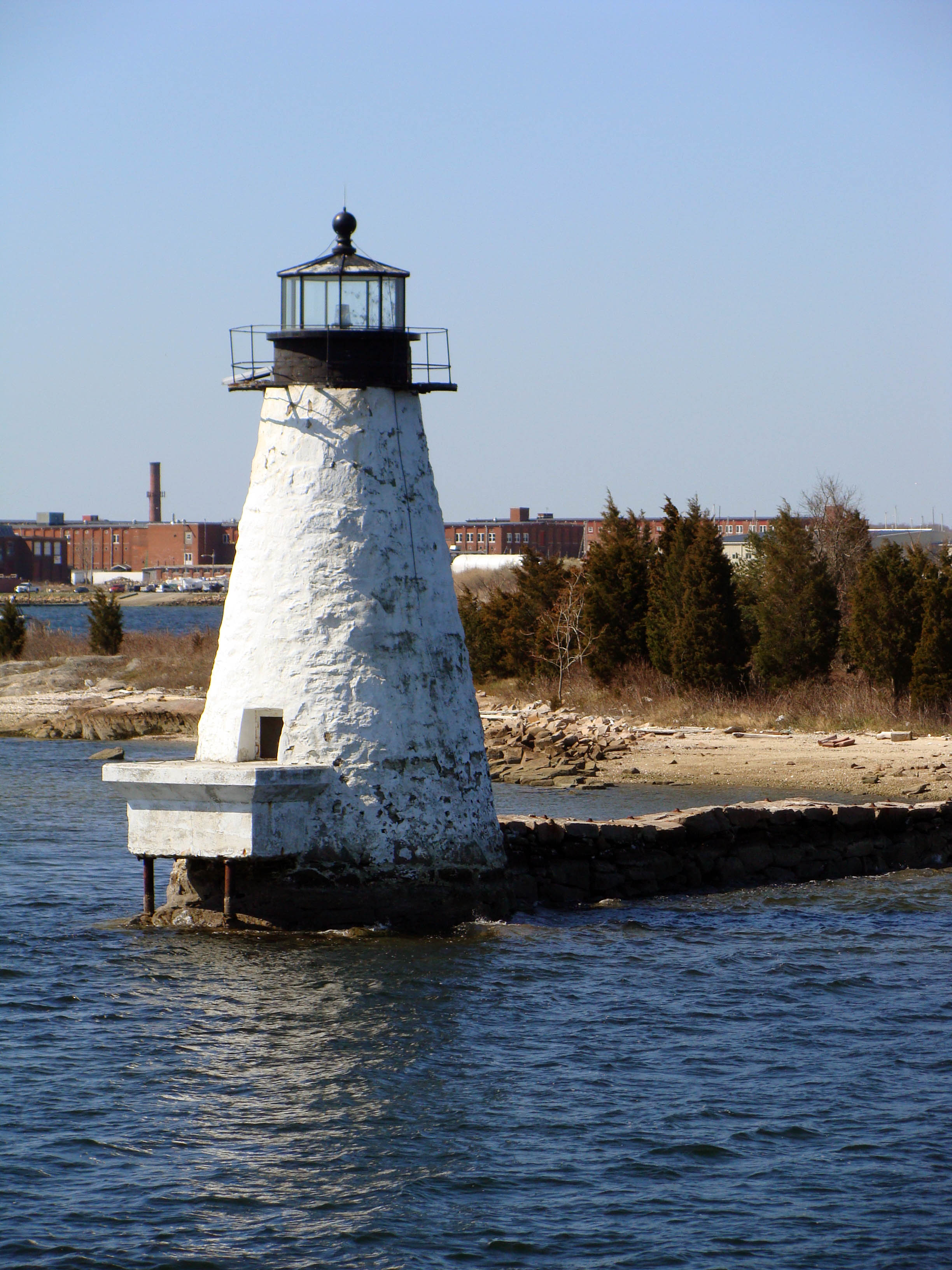
Palmers Island Lighthouse, New Bedford
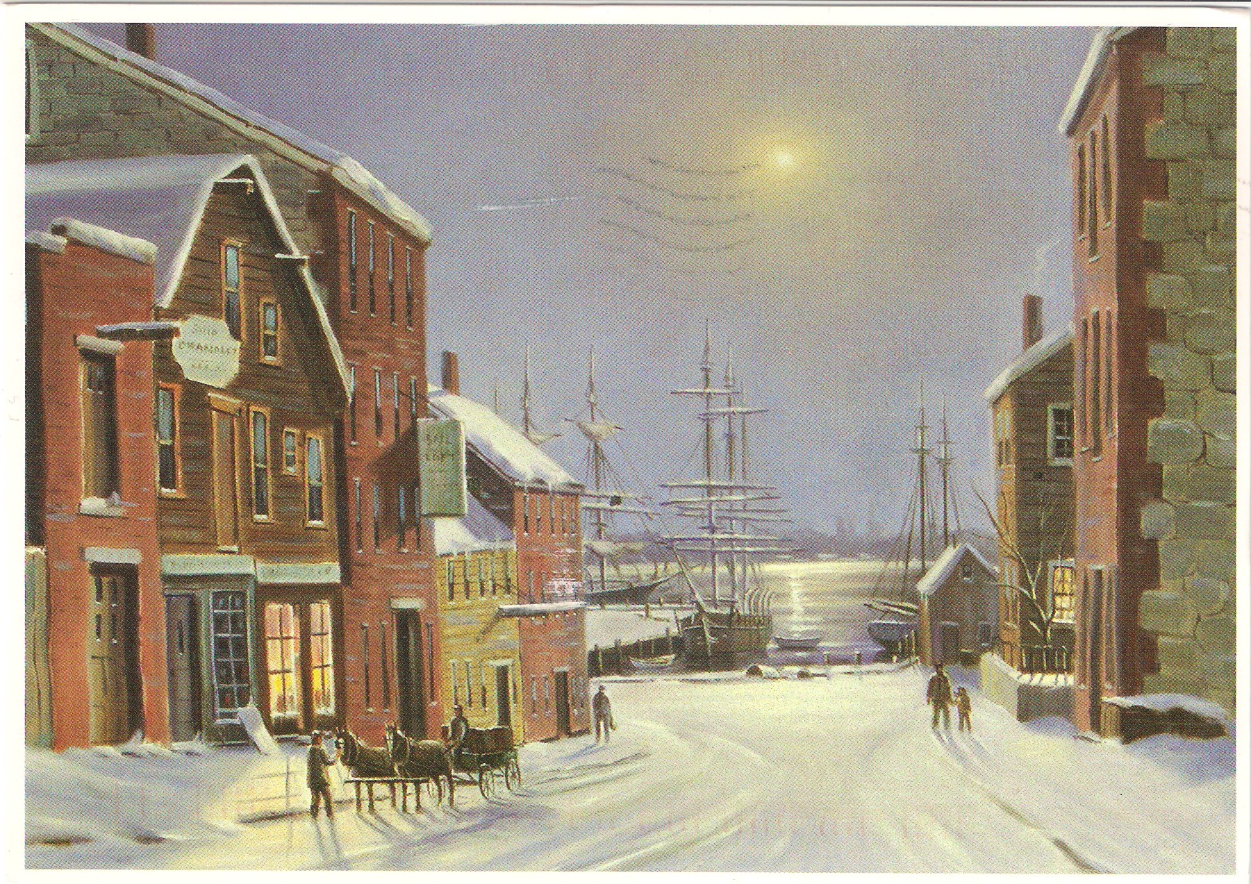
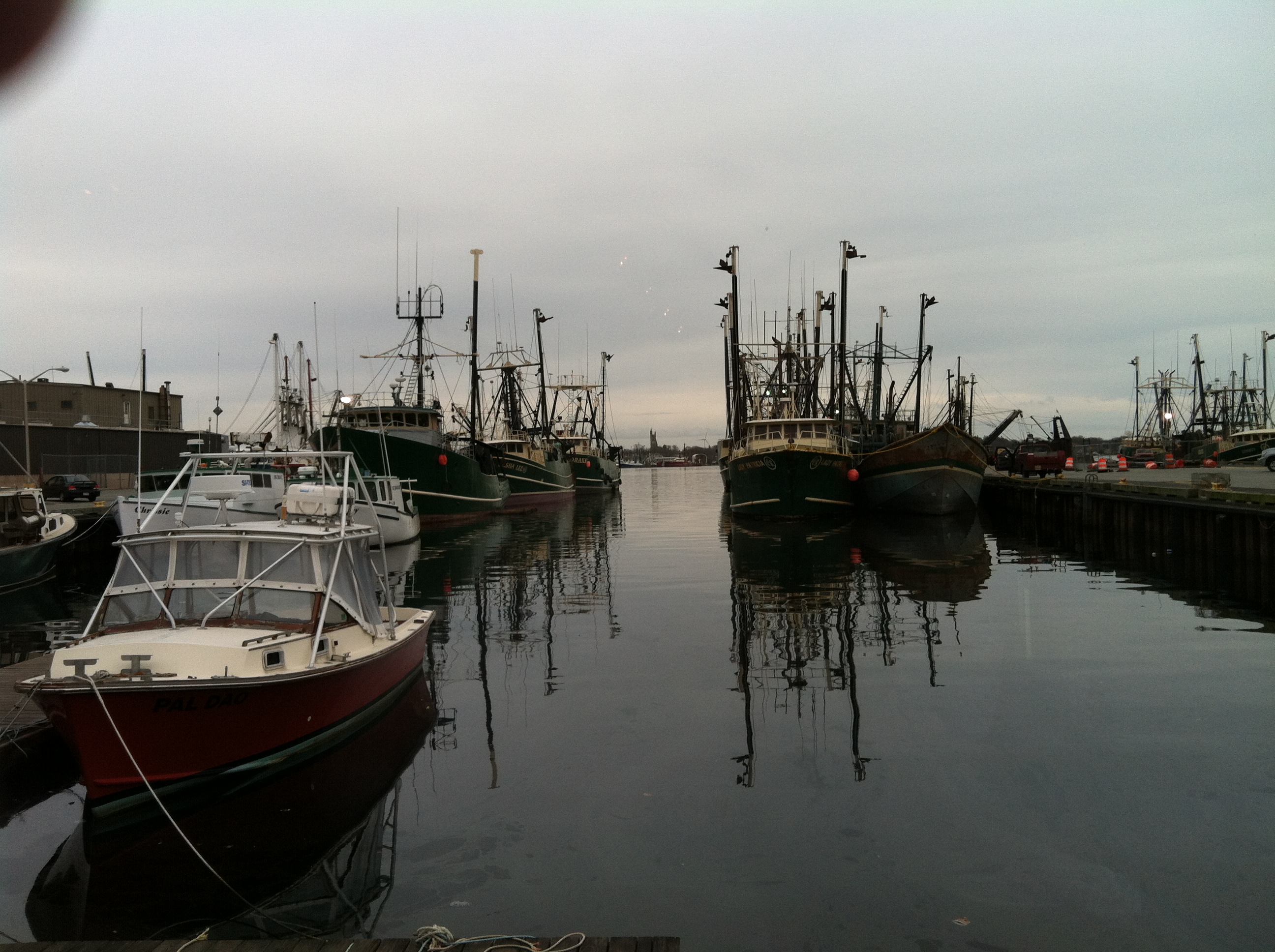
They That Go Down to the Sea in Ships
Waterfront - View from inside
St Lawrence the Martyr

Saturated Long Liner Deux
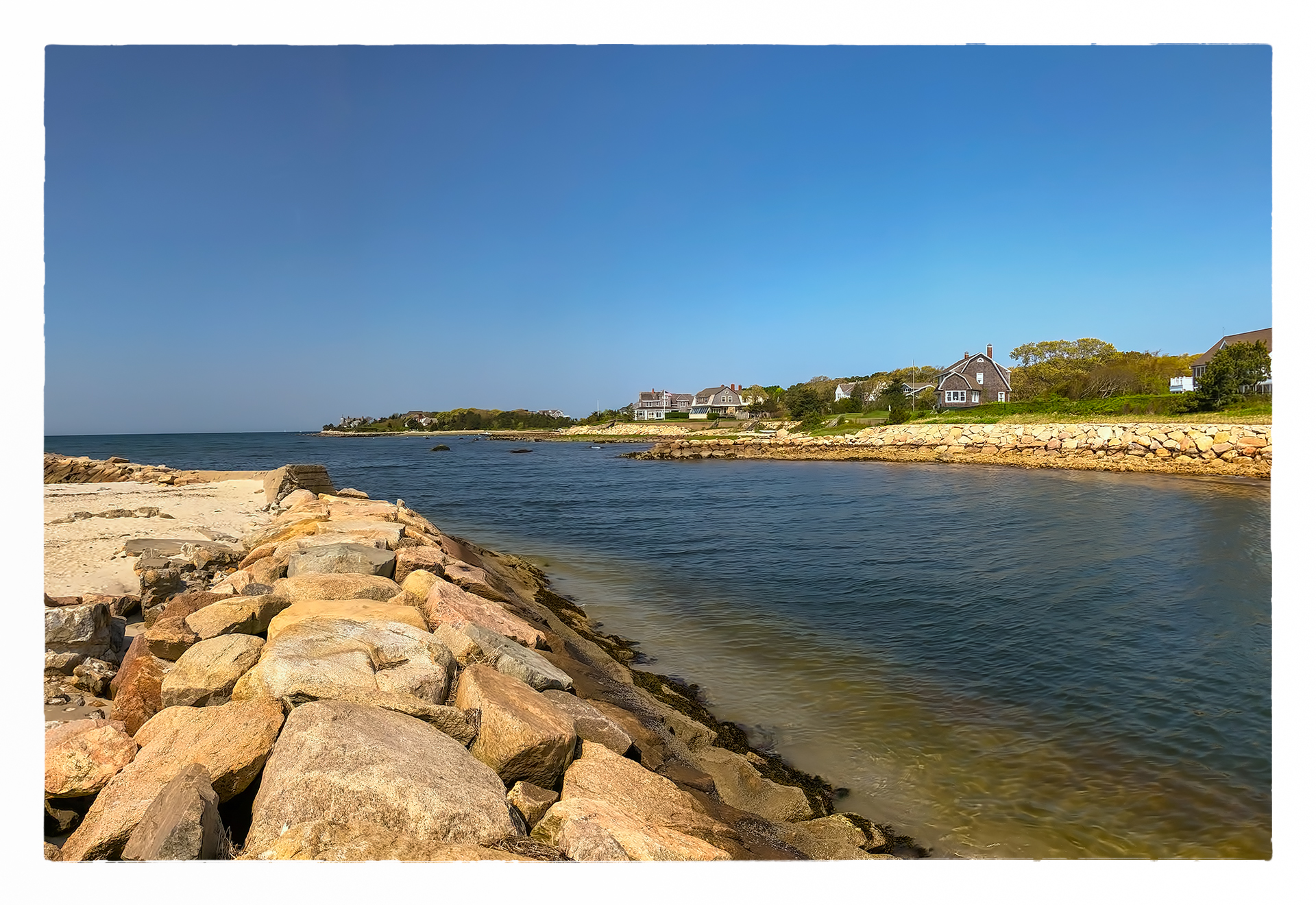
Wild Harbor
Summer Sunset

The 'Cushenaian' Sunset
The Way Out is Through
Lunar Landscape
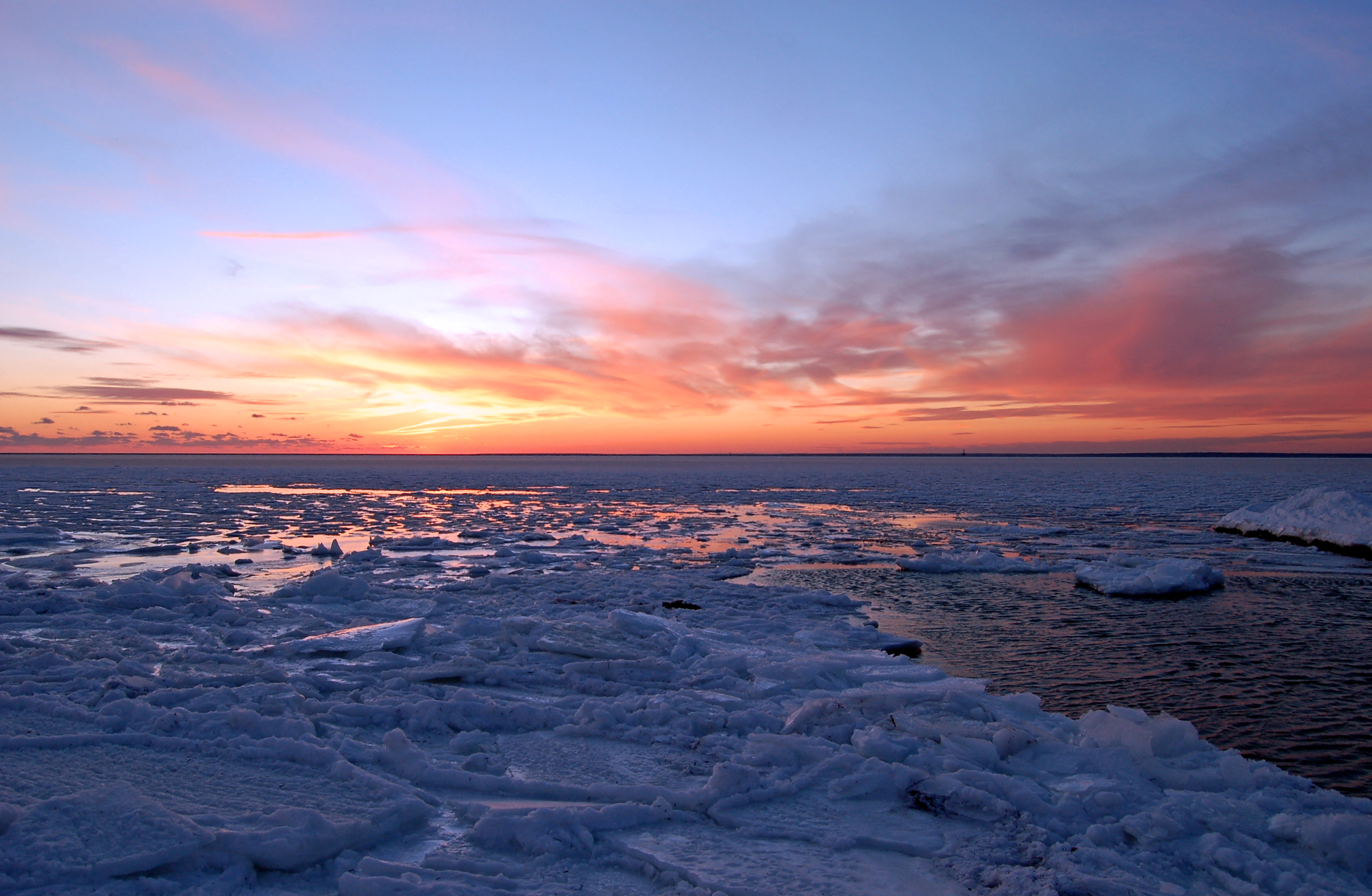
Cape Cod Winter

December Evening
Makepeace Farms, Wareham

Cranberry Bog on a June Evening
Crossed Off
Sunset on Acushnet's Hamlin's Mill Pond
The Acushnet River
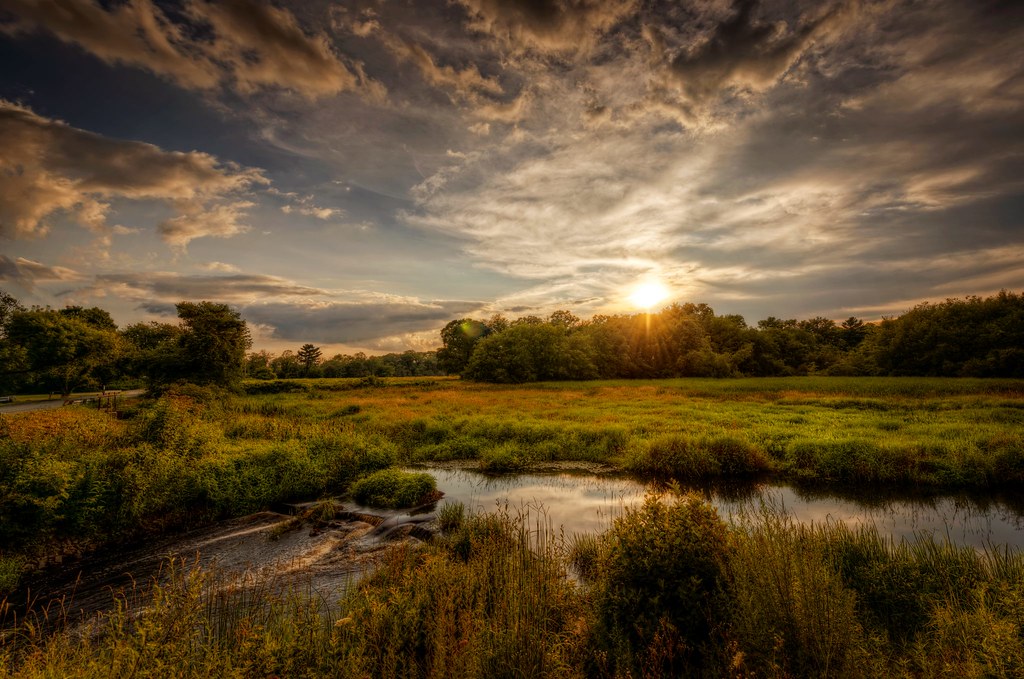
Sunset on Mattapoisett bay
The Pink Hour / L'Heure Rose
Sun Setting on Hamlin's Pond

Ice Cold Splash
The Calm Before the Storm
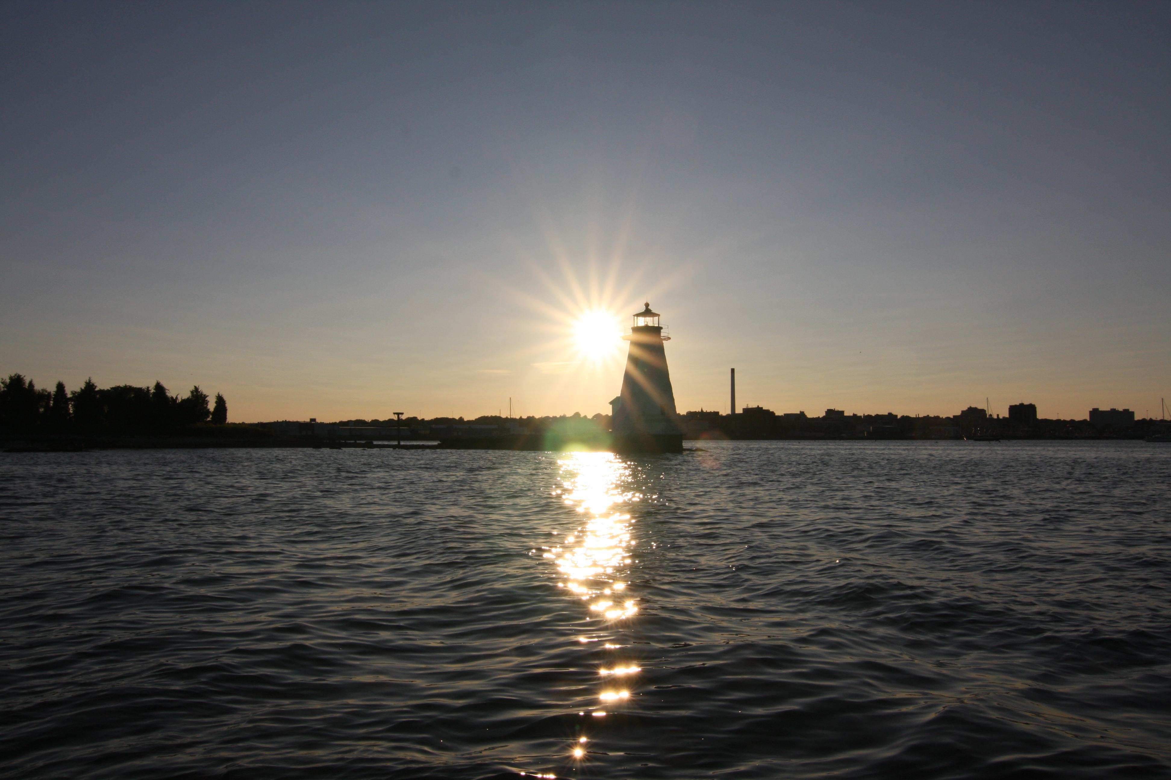
Palmer's Island Light
The Sunset at Home

The Break Area
i can see for miles. . . . .
Topographic Map of 6 Wendell St, Mattapoisett, MA, USA
Find elevation by address:

Places near 6 Wendell St, Mattapoisett, MA, USA:
3 Laurel St
5 Cedarcrest Ave
12 Oliver St
2 Oliver St
50 Prospect Rd, Mattapoisett, MA, USA
29 Pine Island Rd
Ned Point
3 Channing Rd
Ned's Point Road
36 Cove St, Mattapoisett, MA, USA
34 Hollywood Rd W
3 Woodbine Rd
Water Street
21-19
3 Byrne Ave
3 Byrne Ave
8 Noyes Ave
8 Noyes Ave
Noyes Avenue
20 Water St
Recent Searches:
- Elevation of Groblershoop, South Africa
- Elevation of Power Generation Enterprises | Industrial Diesel Generators, Oak Ave, Canyon Country, CA, USA
- Elevation of Chesaw Rd, Oroville, WA, USA
- Elevation of N, Mt Pleasant, UT, USA
- Elevation of 6 Rue Jules Ferry, Beausoleil, France
- Elevation of Sattva Horizon, 4JC6+G9P, Vinayak Nagar, Kattigenahalli, Bengaluru, Karnataka, India
- Elevation of Great Brook Sports, Gold Star Hwy, Groton, CT, USA
- Elevation of 10 Mountain Laurels Dr, Nashua, NH, USA
- Elevation of 16 Gilboa Ln, Nashua, NH, USA
- Elevation of Laurel Rd, Townsend, TN, USA