Elevation of 6 Old Bridge Rd, Coles Island, NB E4C 2R8, Canada
Location: Canada > New Brunswick > Queens County > Johnston > Coles Island >
Longitude: -65.789169
Latitude: 45.9209106
Elevation: 15m / 49feet
Barometric Pressure: 101KPa
Elevation Map:
Satellite Map:
Related Photos:
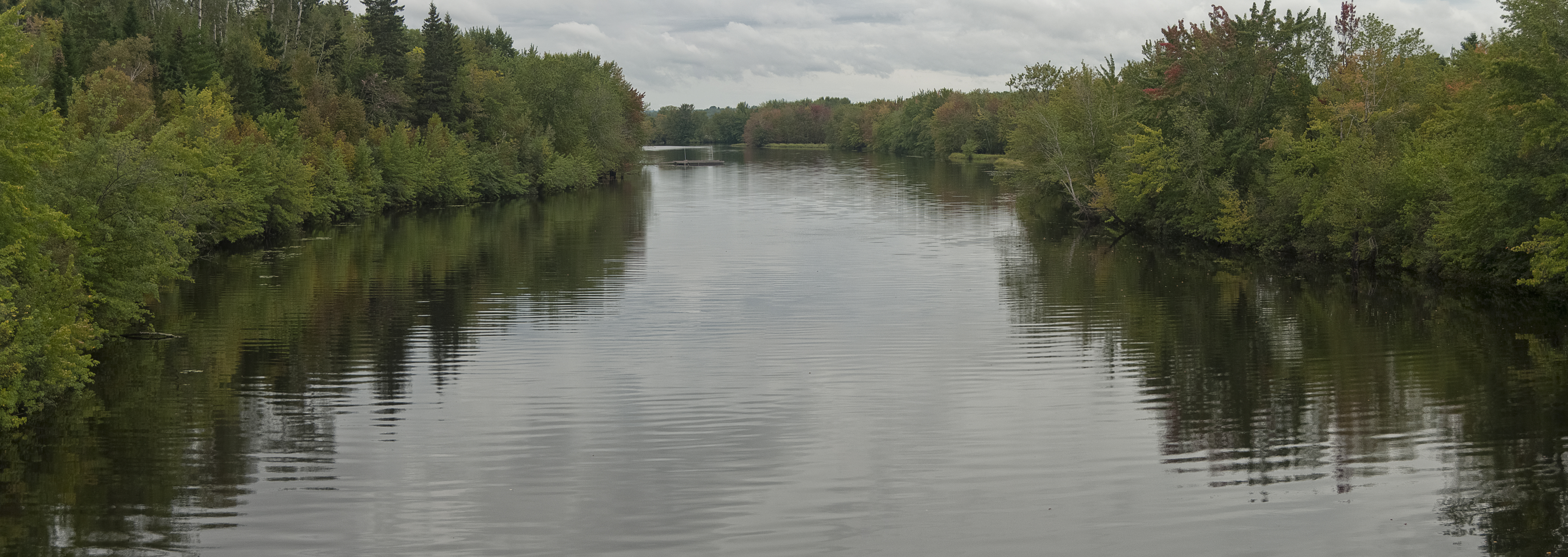
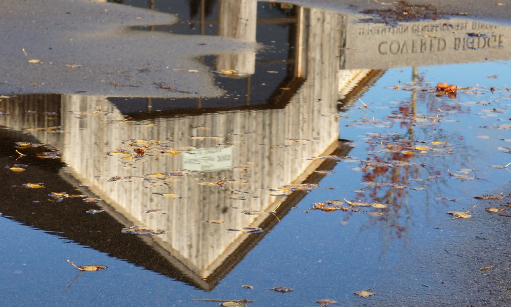
ColesIsland_Panorama_01
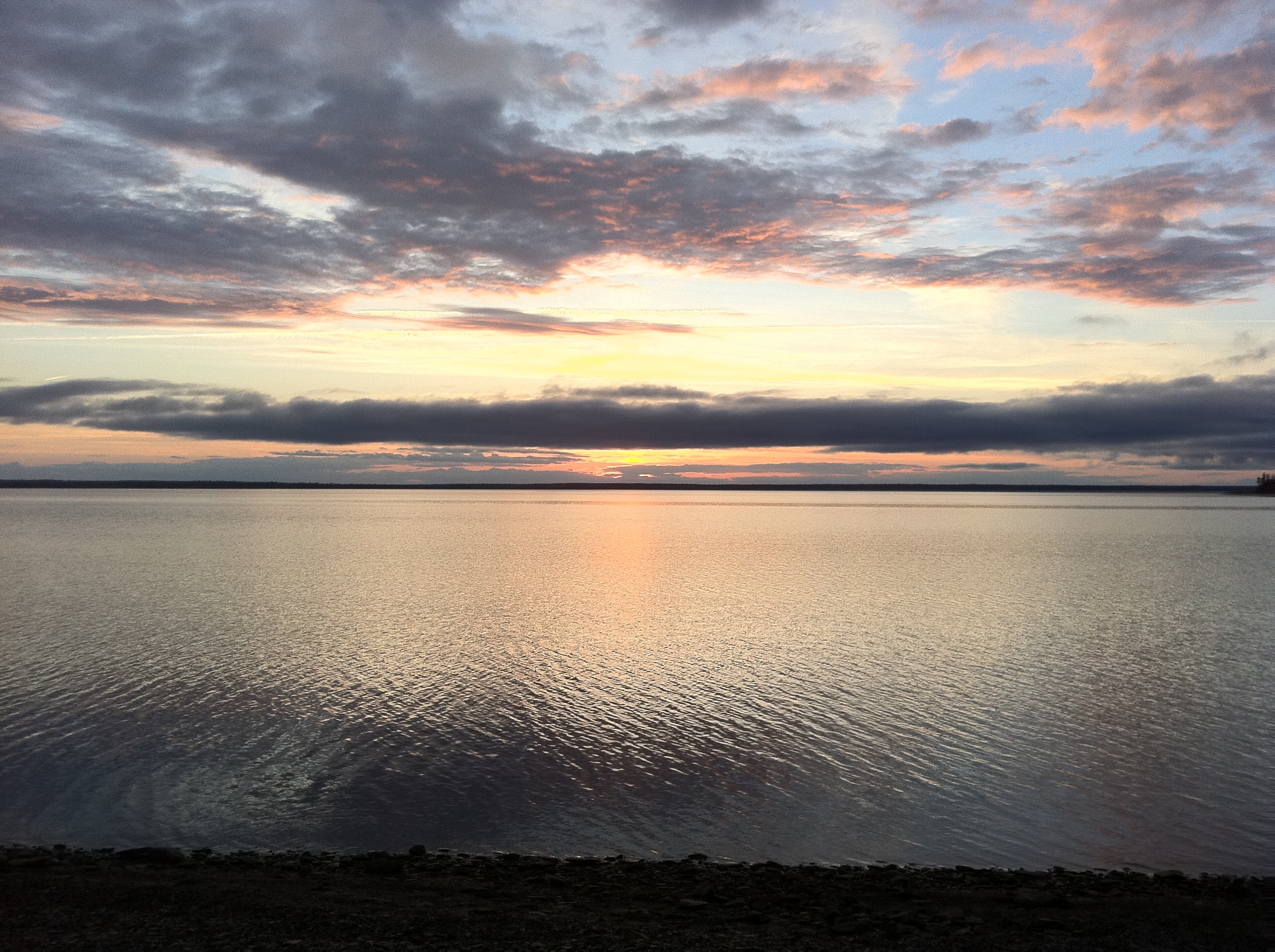
Beautiful Sunset at Mohawk Camping in New Brunswick!

Mary ann

"morning #3"
Day 7, Halifax, NS - Kingfield, ME 037
Day 7, Halifax, NS - Kingfield, ME 036

Day 7, Halifax, NS - Kingfield, ME 035
Information centre, somewhere in New Brunswick
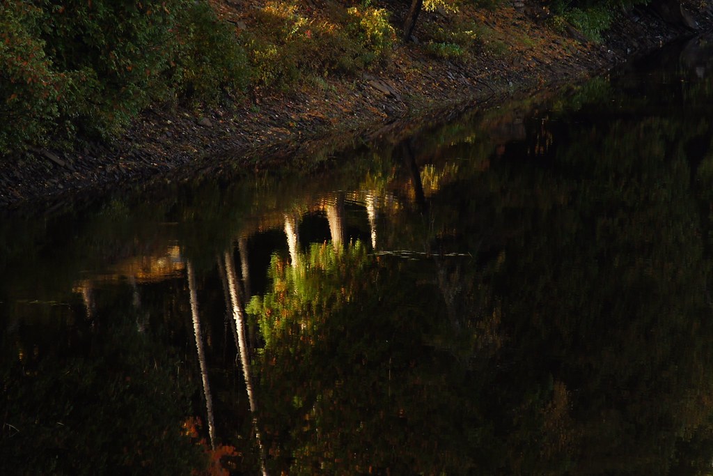
By the river

David's Hives...not fun!
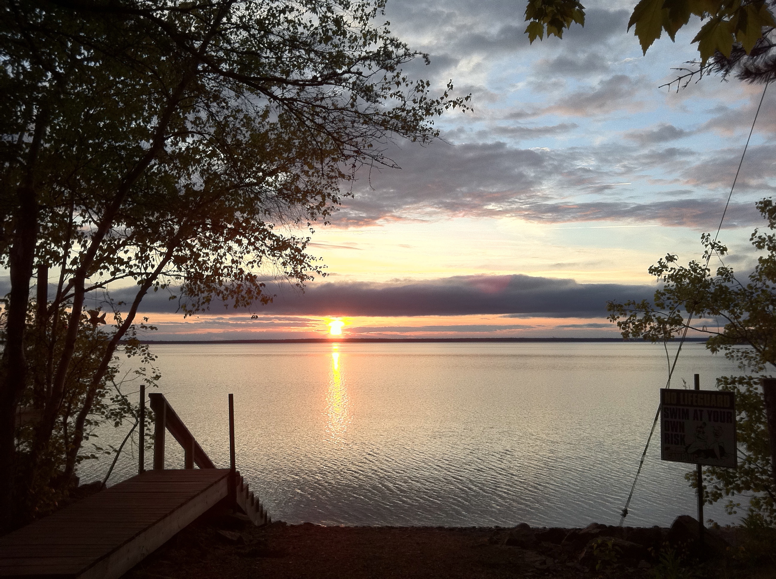
Beautiful Sunset at Mohawk Camping in New Brunswick!

El loco y la luna

Nathan June 21 2009 0059
Topographic Map of 6 Old Bridge Rd, Coles Island, NB E4C 2R8, Canada
Find elevation by address:

Places near 6 Old Bridge Rd, Coles Island, NB E4C 2R8, Canada:
Coles Island
Long Creek
Codys
45 Armstrong Wharf Rd, Codys, NB E4C 6B4, Canada
Bagdad Road
Youngs Cove Road
Waterborough
Cumberland Bay
NB-10, Cumberland Bay, NB E4A 3E8, Canada
NB-10, Cumberland Bay, NB E4A 3E8, Canada
Youngs Cove
Queens County
290 Cumberland Point Rd
290 Cumberland Point Rd
290 Cumberland Point Rd
Union Settlement Rd, Waterborough, NB E4C 2Z7, Canada
Mill Cove
Waterborough
10 Sunview Ln W, Canning, NB E4B, Canada
Canning
Recent Searches:
- Elevation of Corso Fratelli Cairoli, 35, Macerata MC, Italy
- Elevation of Tallevast Rd, Sarasota, FL, USA
- Elevation of 4th St E, Sonoma, CA, USA
- Elevation of Black Hollow Rd, Pennsdale, PA, USA
- Elevation of Oakland Ave, Williamsport, PA, USA
- Elevation of Pedrógão Grande, Portugal
- Elevation of Klee Dr, Martinsburg, WV, USA
- Elevation of Via Roma, Pieranica CR, Italy
- Elevation of Tavkvetili Mountain, Georgia
- Elevation of Hartfords Bluff Cir, Mt Pleasant, SC, USA