Elevation of 6, LA, USA
Location: United States > Louisiana > St. Landry Parish >
Longitude: -91.812332
Latitude: 30.4923428
Elevation: 6m / 20feet
Barometric Pressure: 101KPa
Elevation Map:
Satellite Map:
Related Photos:

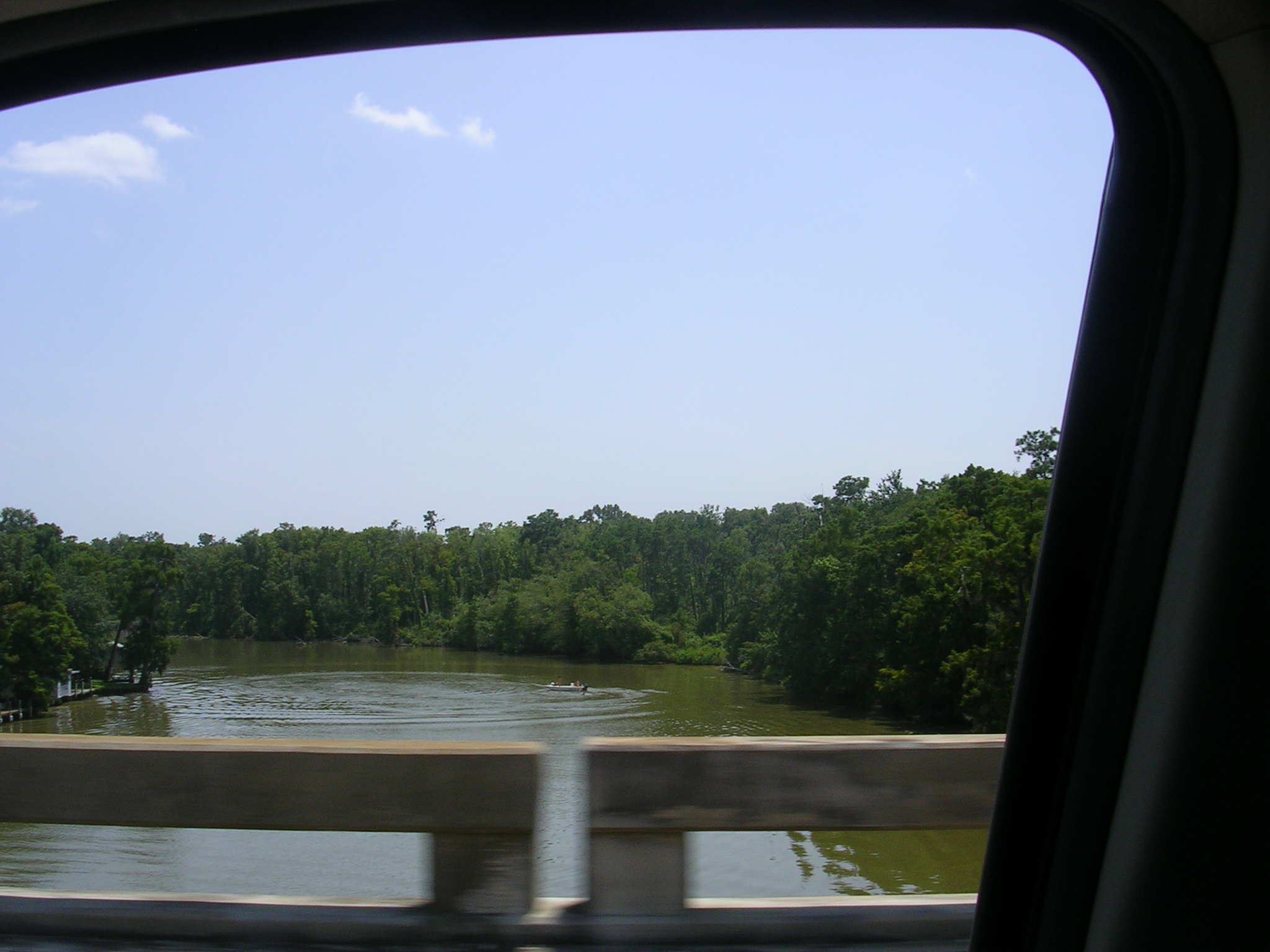
My rear view.
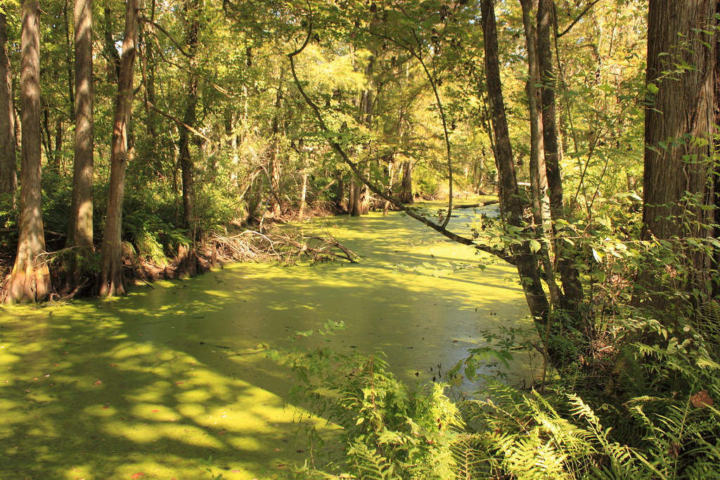
A creek
Indian Bayou(kcz1)
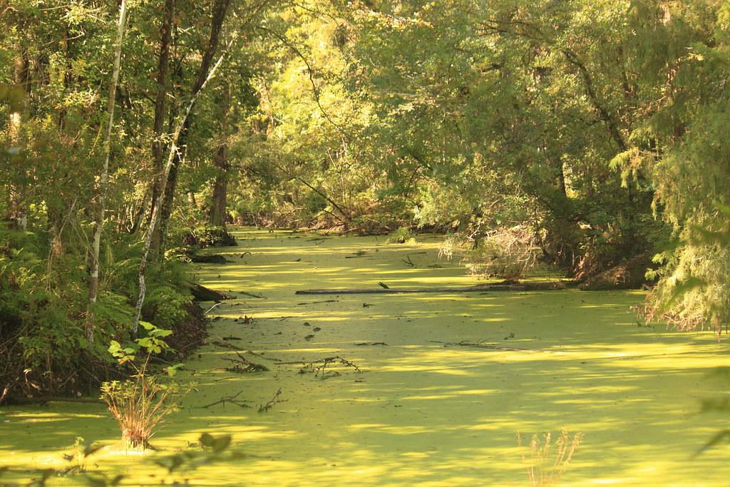
Indian Bayou(uhgp)

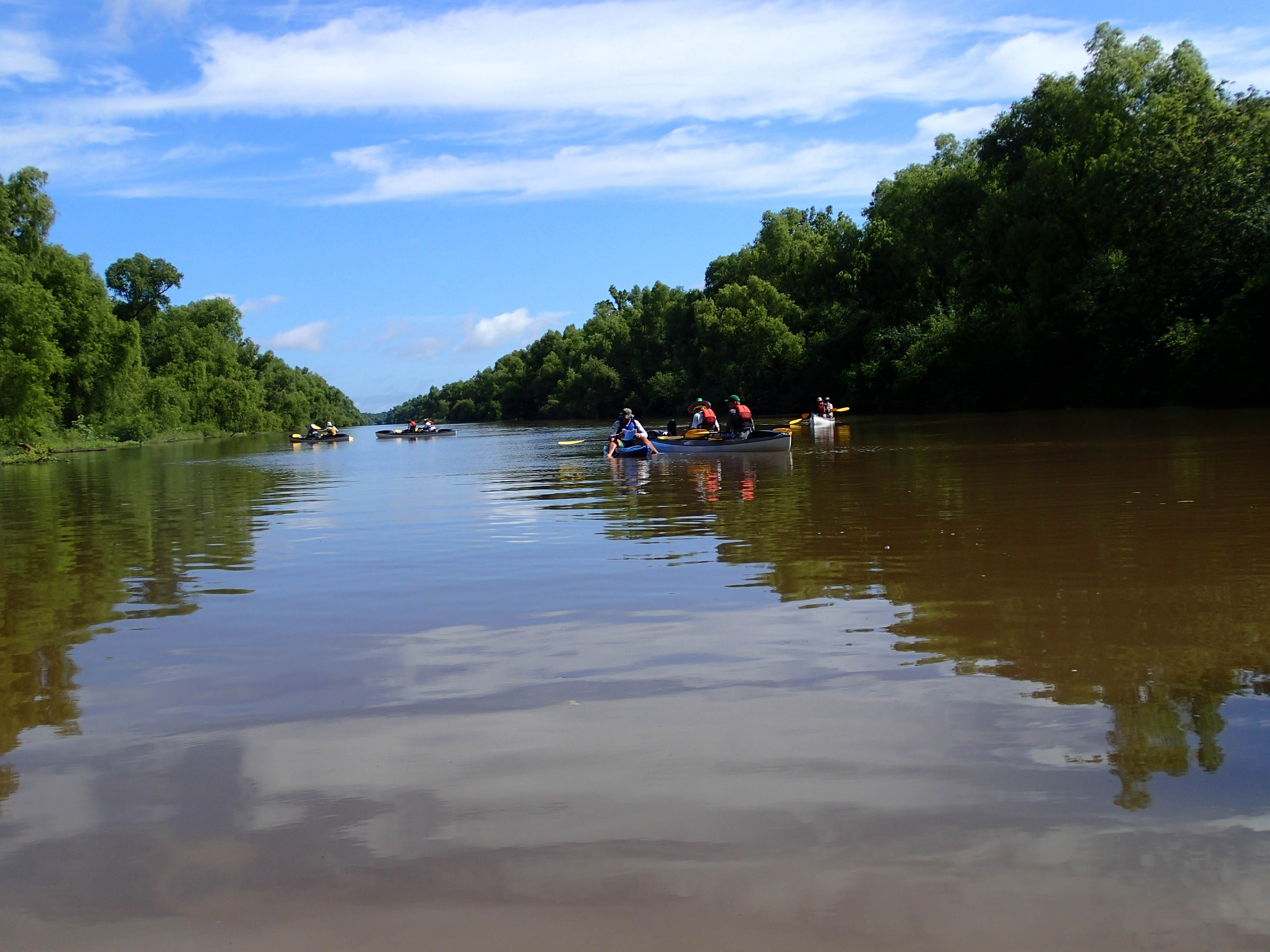
Indian Bayou

Smoldering House No 1 (iPhone)

Bayou Teche Arnaudville Church
p7132578-1.jpg
20130610SwampBase-066.jpg

swamp living

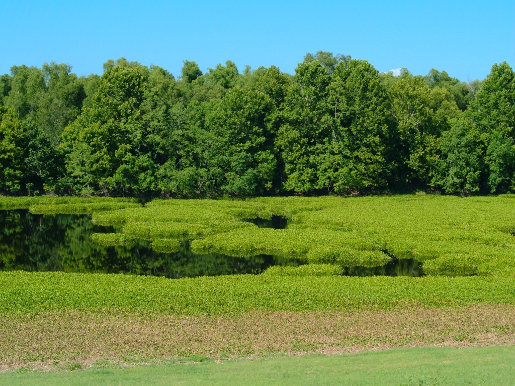
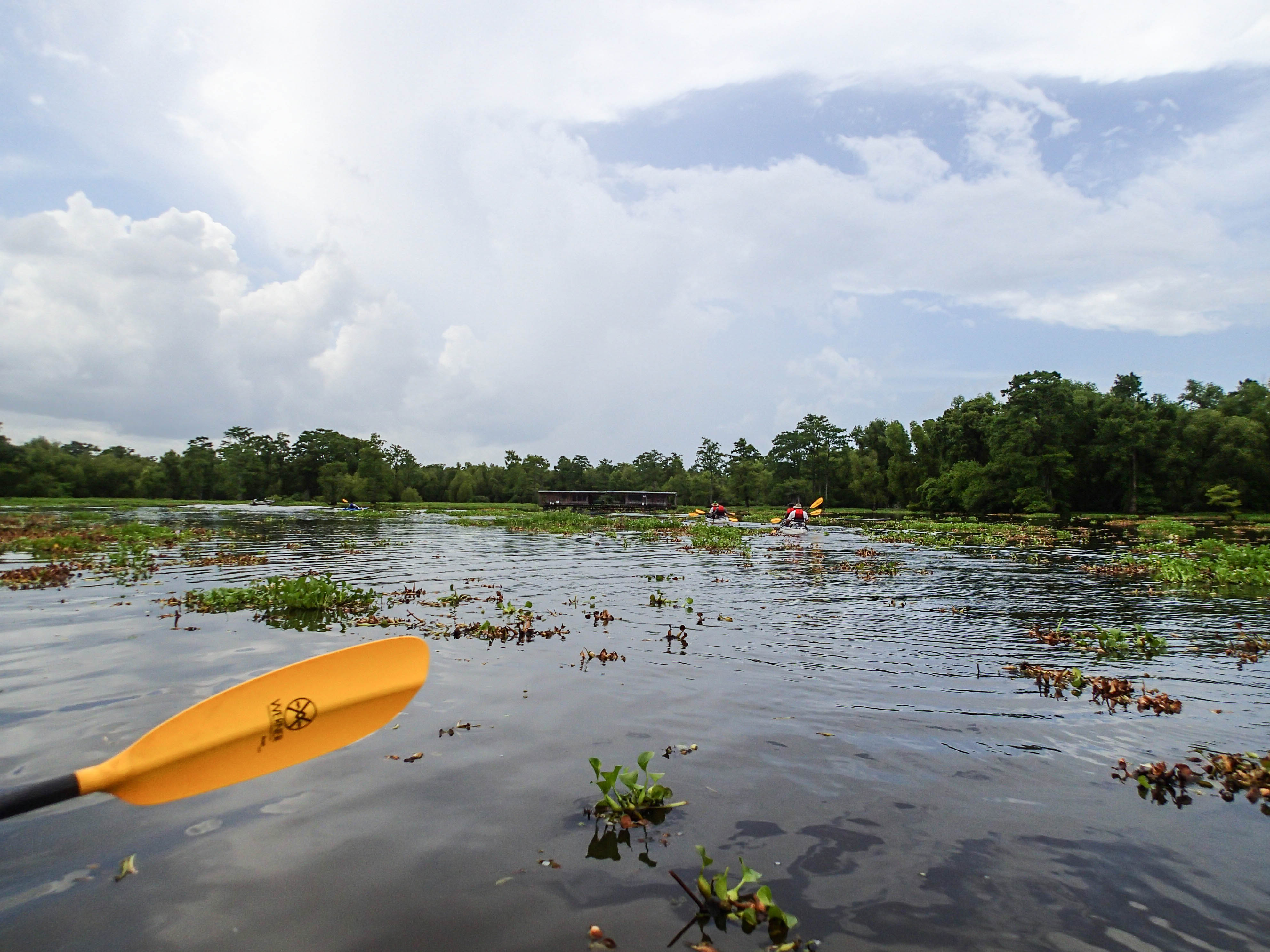
atchafalaya swamps
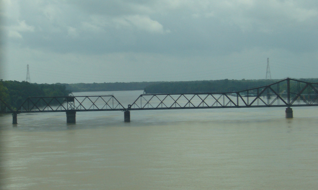
The Atchafalaya River
Bayou Fuselier Arnaudville
20130610SwampBase-084.jpg

still waters run surprisingly shallow

we went through this

Hunters Outpost

Sedge Wren in habitat
Knotted Webs
Topographic Map of 6, LA, USA
Find elevation by address:

Places in 6, LA, USA:
Places near 6, LA, USA:
Portage Levee Road
Toby Rd, Arnaudville, LA, USA
757 Mallet Rd
US-, Port Barre, LA, USA
7, LA, USA
Port Barre
1494 Fuselier Rd
1526 Fuselier Rd
367 Euzebe Rd
367 Euzebe Rd
367 Euzebe Rd
179 Par Rd 3-45-1a
307 Frozard Rd
4755 La-31
925 Country Ridge Rd
705 Old Spanish Rd
Church St, Grand Coteau, LA, USA
Grand Coteau
115 Country Ridge Rd
9, LA, USA
Recent Searches:
- Elevation of Pykes Down, Ivybridge PL21 0BY, UK
- Elevation of Jalan Senandin, Lutong, Miri, Sarawak, Malaysia
- Elevation of Bilohirs'k
- Elevation of 30 Oak Lawn Dr, Barkhamsted, CT, USA
- Elevation of Luther Road, Luther Rd, Auburn, CA, USA
- Elevation of Unnamed Road, Respublika Severnaya Osetiya — Alaniya, Russia
- Elevation of Verkhny Fiagdon, North Ossetia–Alania Republic, Russia
- Elevation of F. Viola Hiway, San Rafael, Bulacan, Philippines
- Elevation of Herbage Dr, Gulfport, MS, USA
- Elevation of Lilac Cir, Haldimand, ON N3W 2G9, Canada