Elevation of 6, Greenwood, NC, USA
Location: United States > North Carolina > Moore County >
Longitude: -79.278940
Latitude: 35.3179552
Elevation: 117m / 384feet
Barometric Pressure: 100KPa
Elevation Map:
Satellite Map:
Related Photos:

YOUR AD HERE

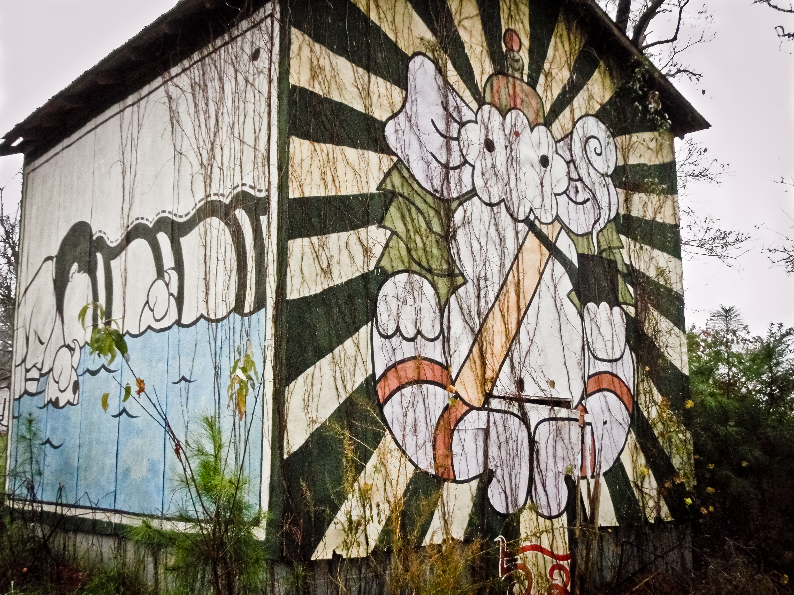
SMOKING ELEPHANT 2
WHAT'S COOKIN'
Top Side View Of Moore County Courthouse

Decorated Grave 2
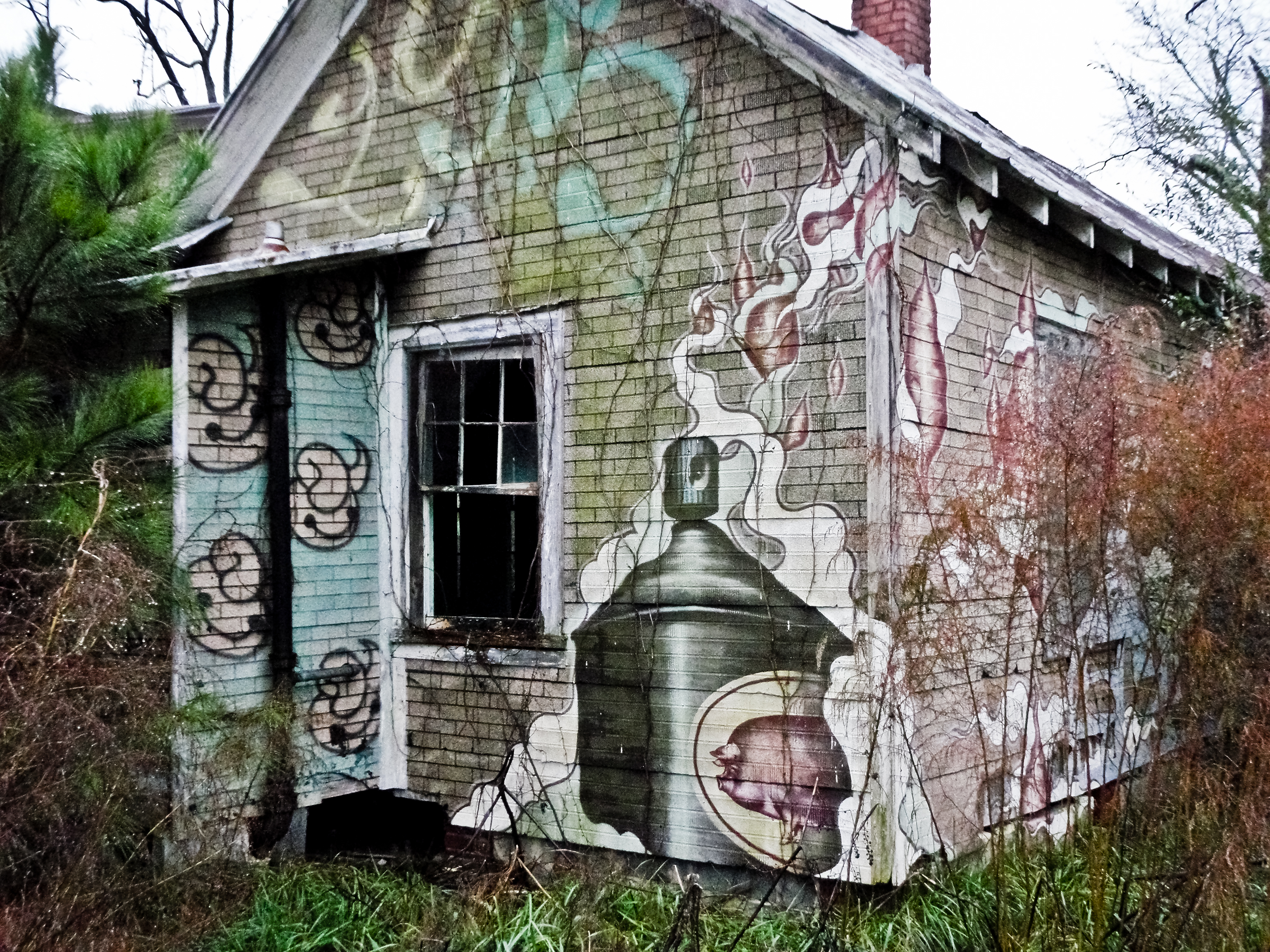
SMOKING ELEPHANT
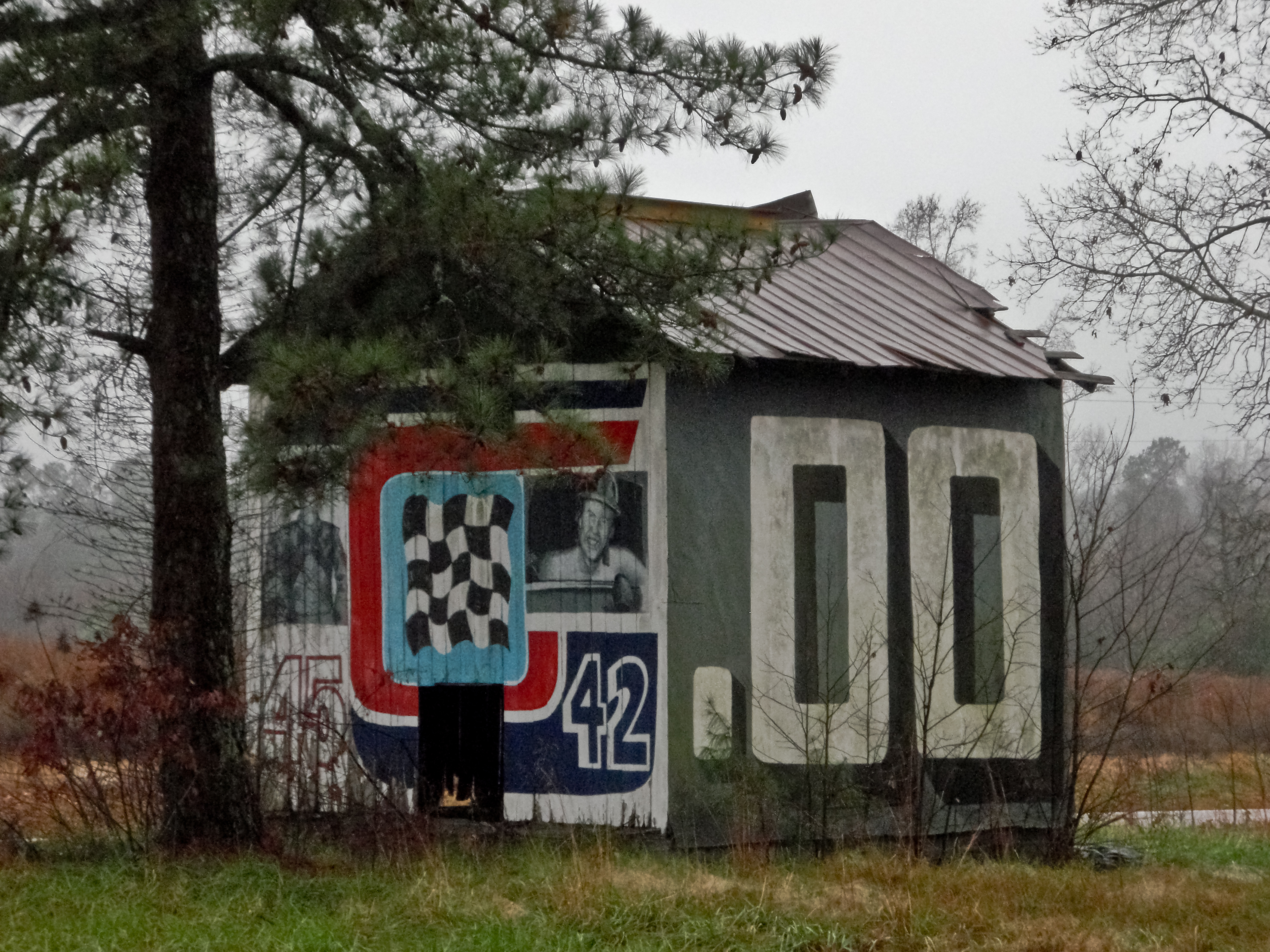
PETTY BARN

HAVE A SEAT
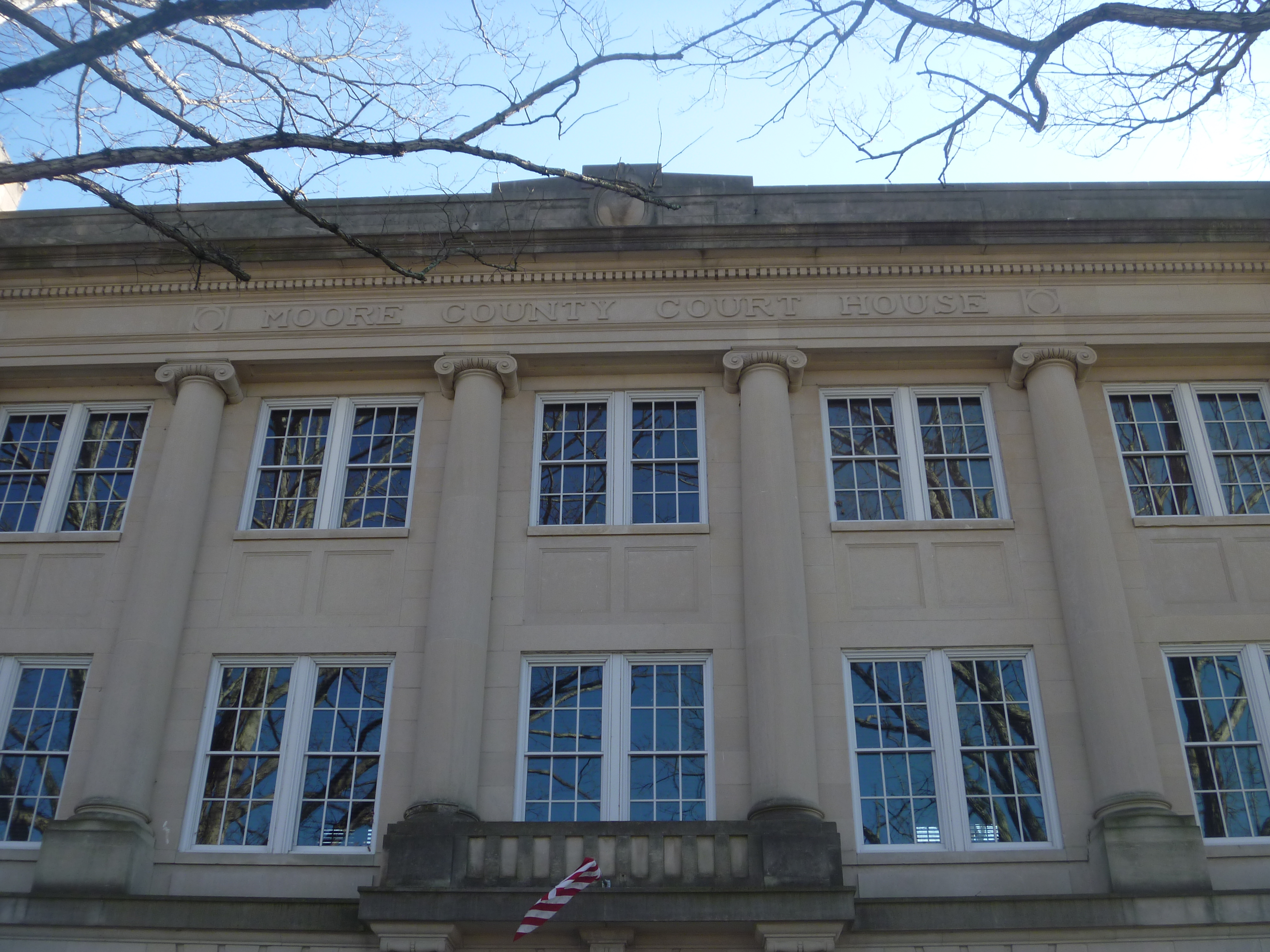
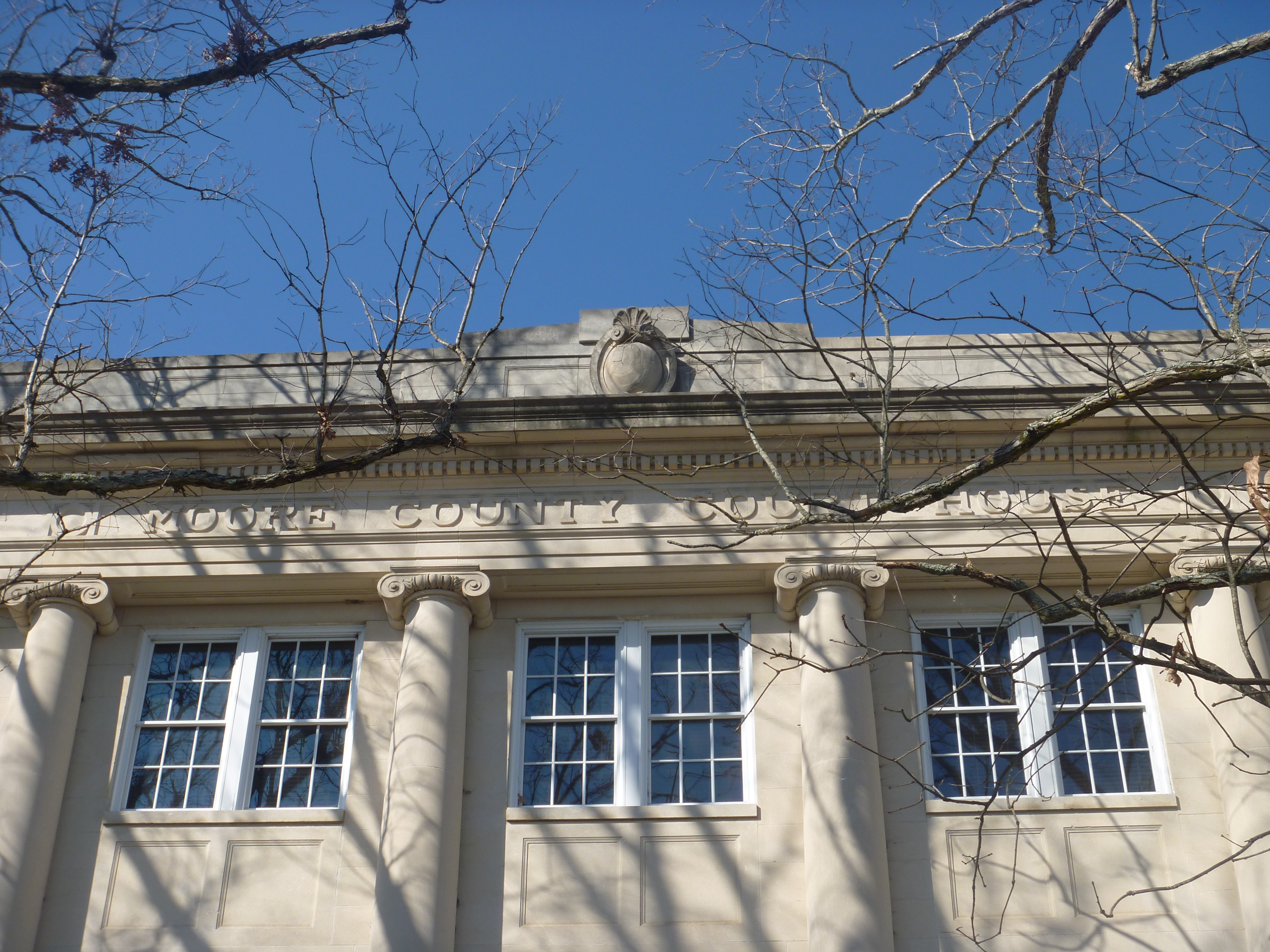
Top Side Of Moore County Courthouse, Carthage NC
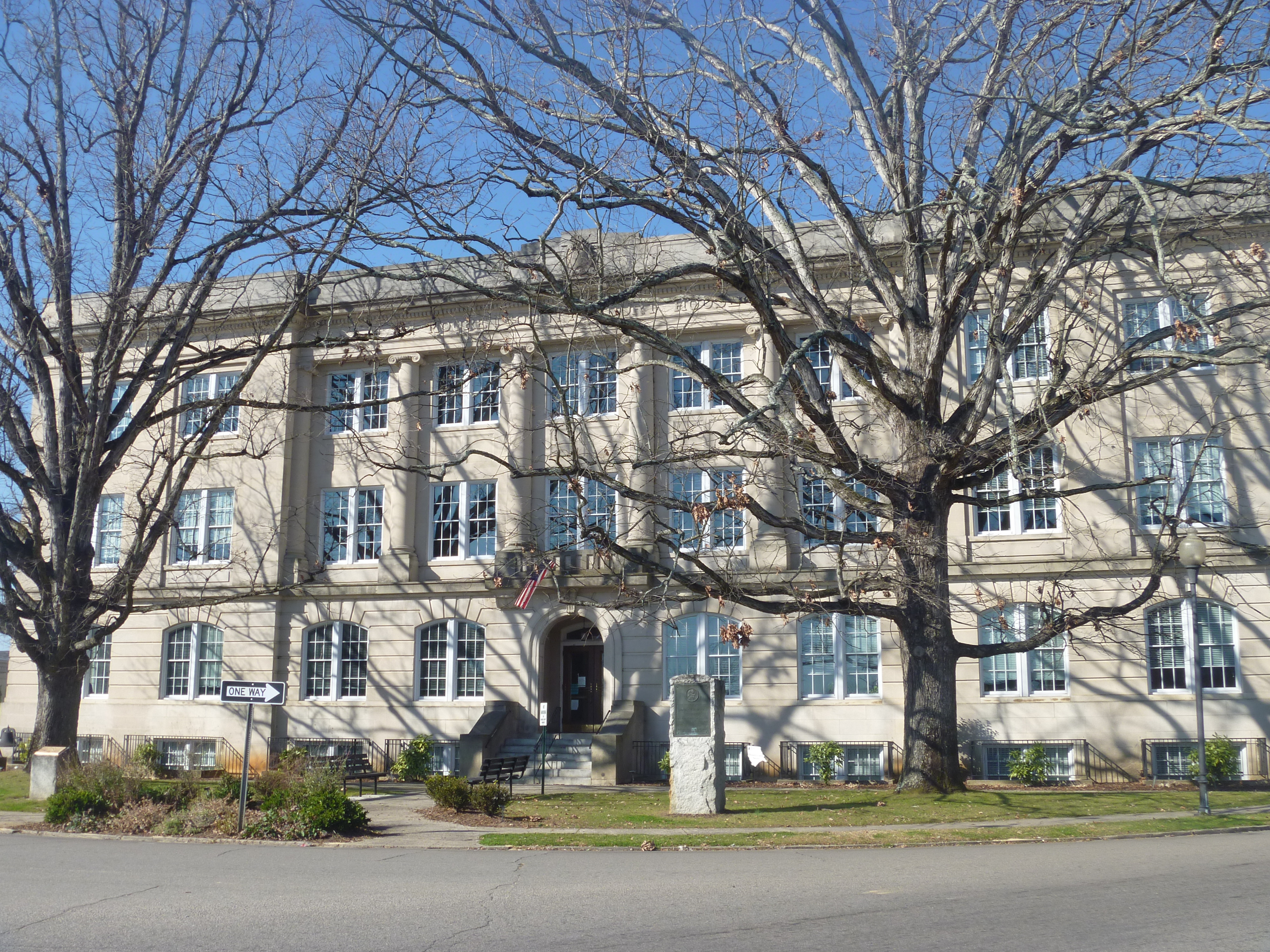
Moore County Courthouse, Carthage NC

Moore County Courthouse, Carthage NC
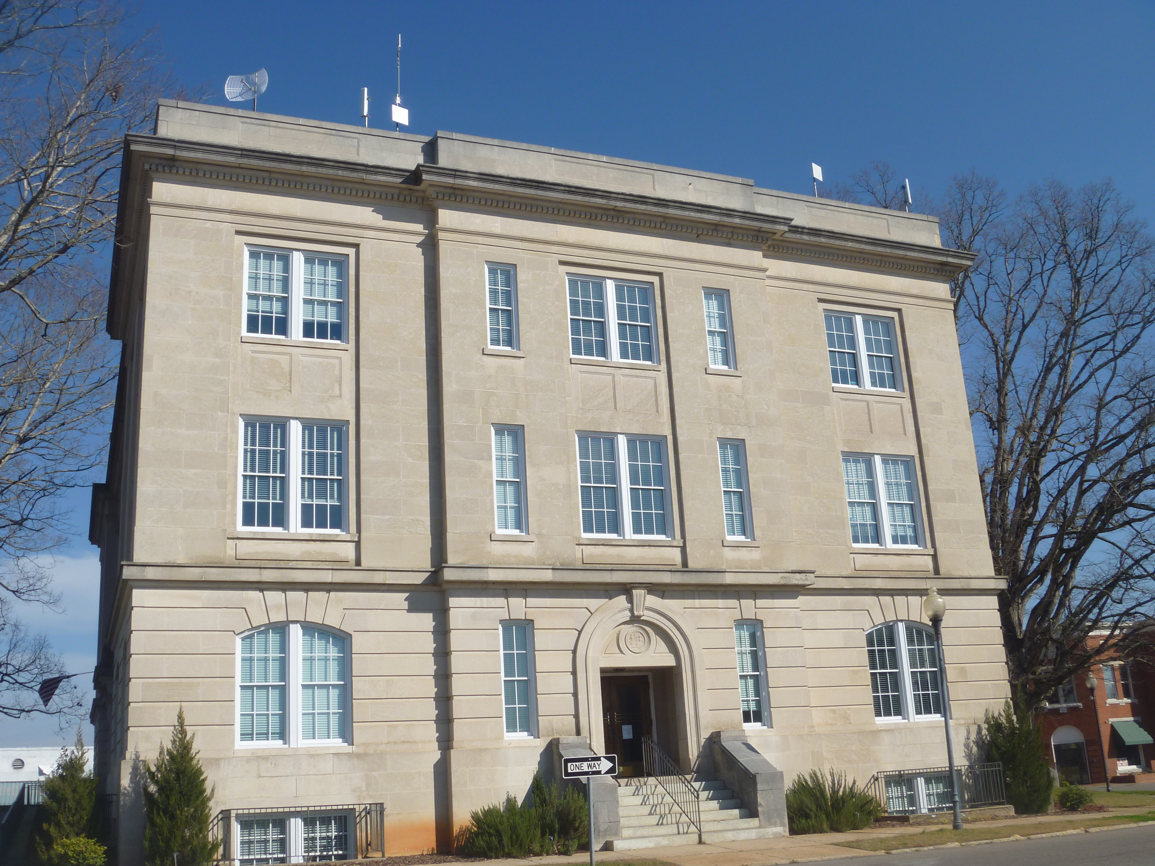
Moore County Courthouse, Carthage NC
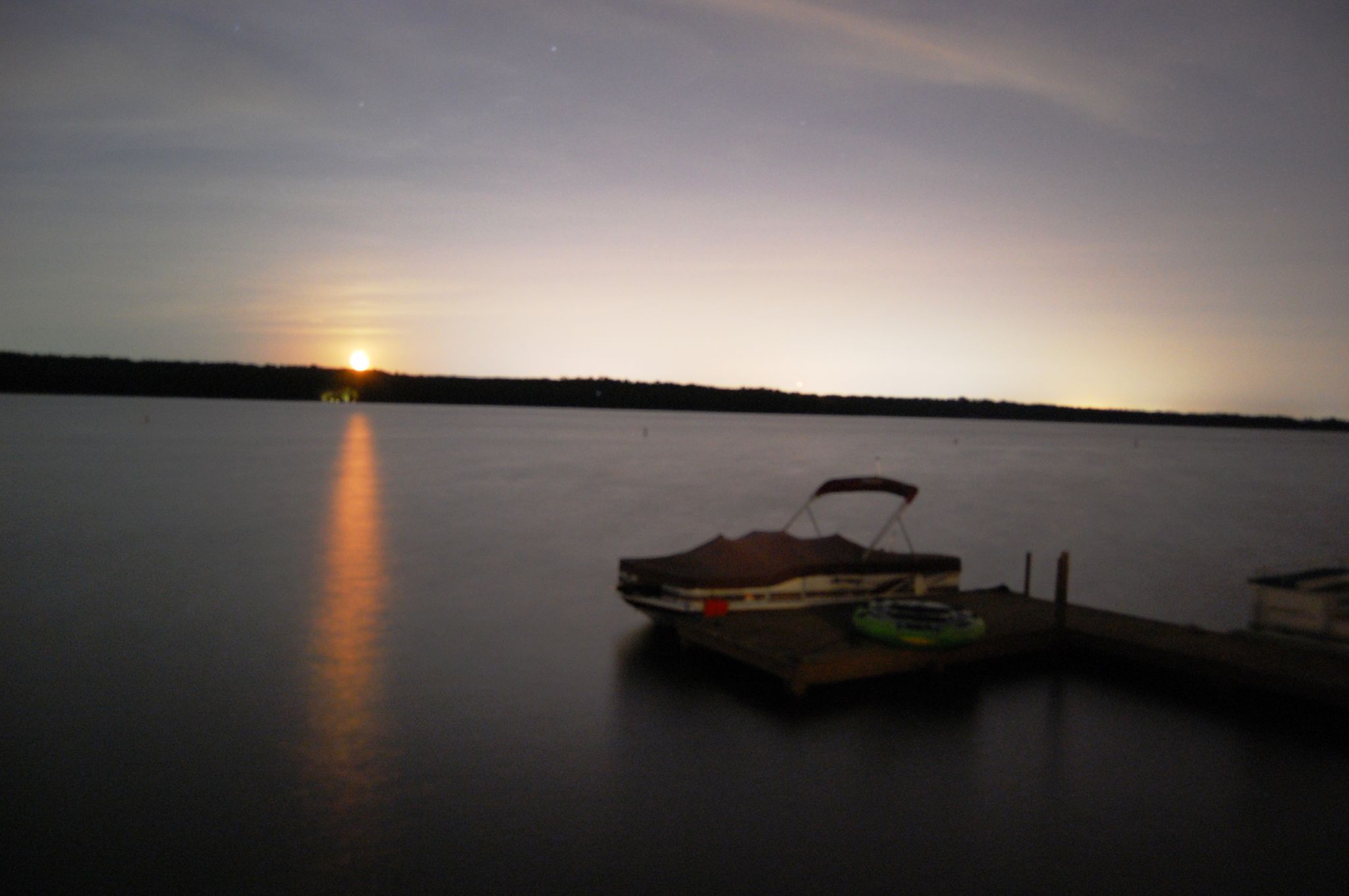
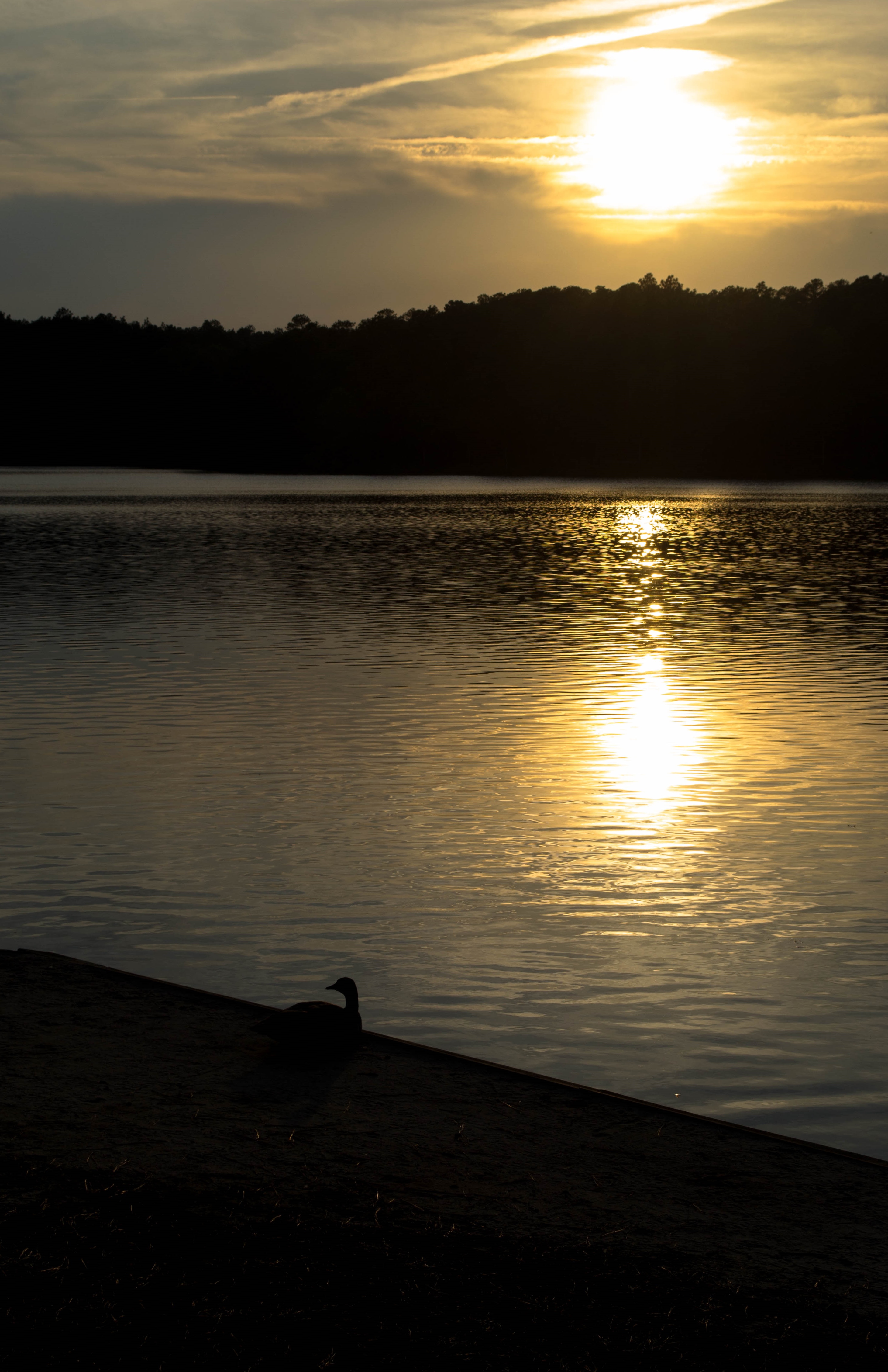
The view from Paul's place
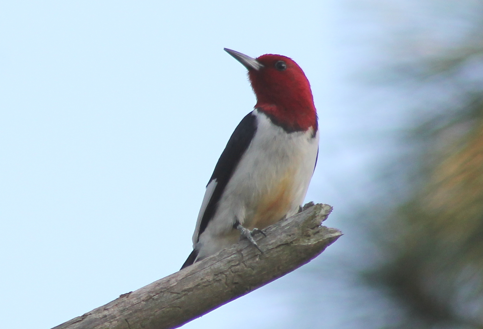
IMG_7462 Red-headed Woodpecker - Melanerpes erythrocephalus
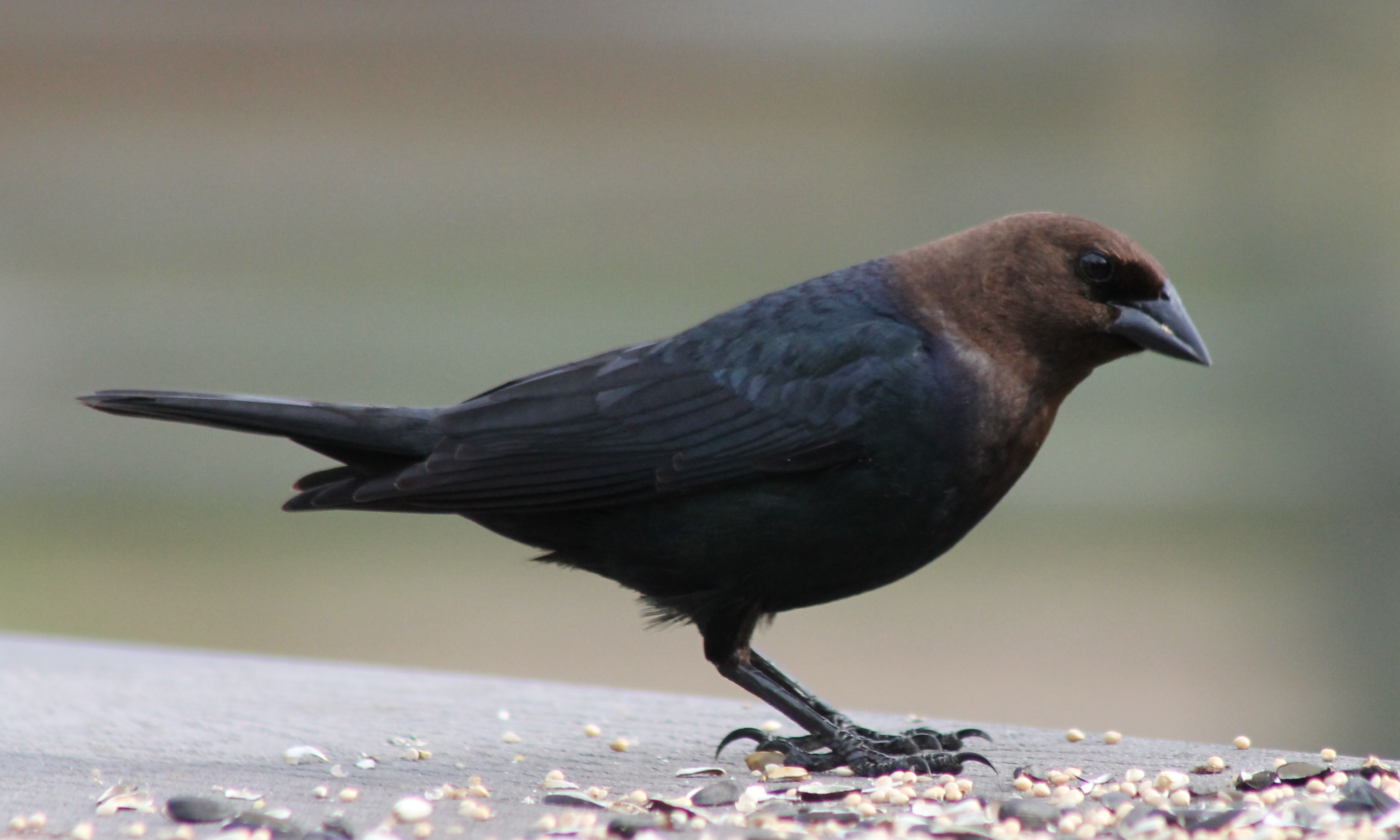
IMG_7494 Brown-headed Cowbird - Molothrus ater

Tobacco Road 2015
Tobacco Road 2015

Ferns on Tree
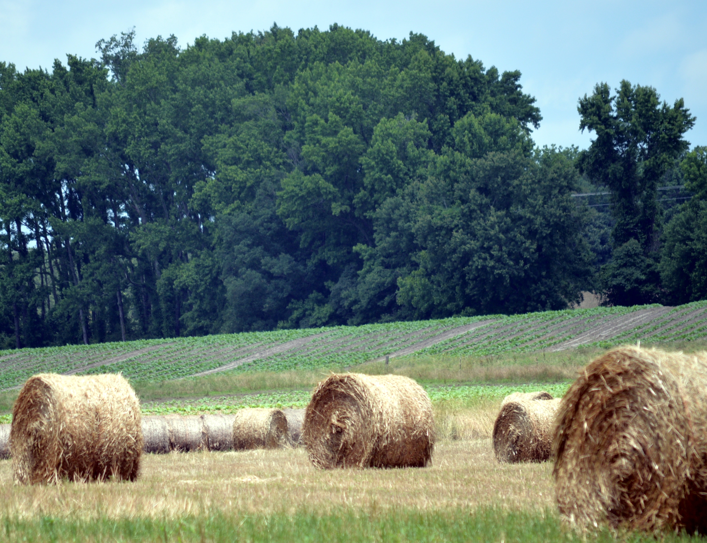
Hay and 'baccer

Tobacco Road 2015
Tobacco Road 2015

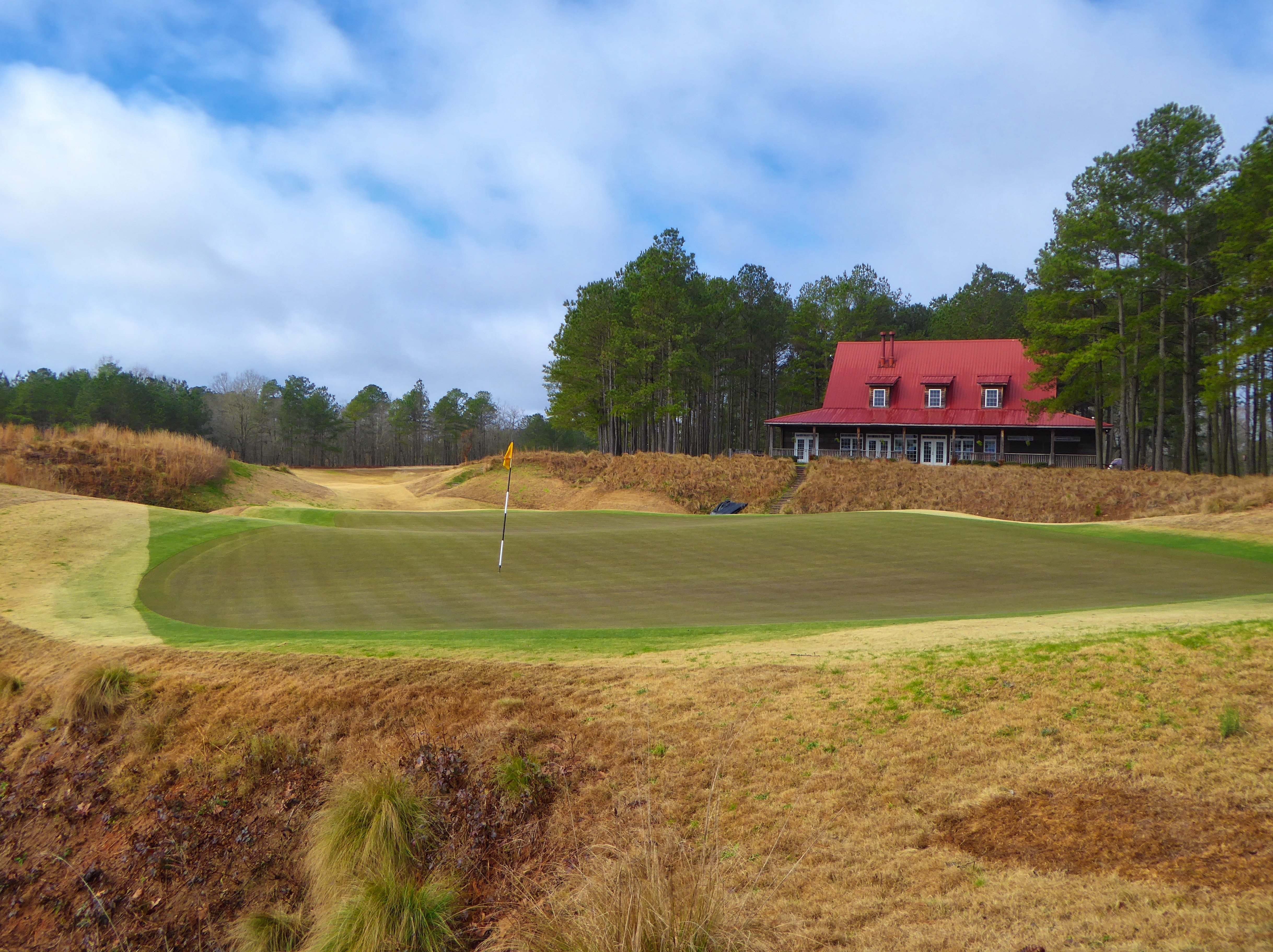
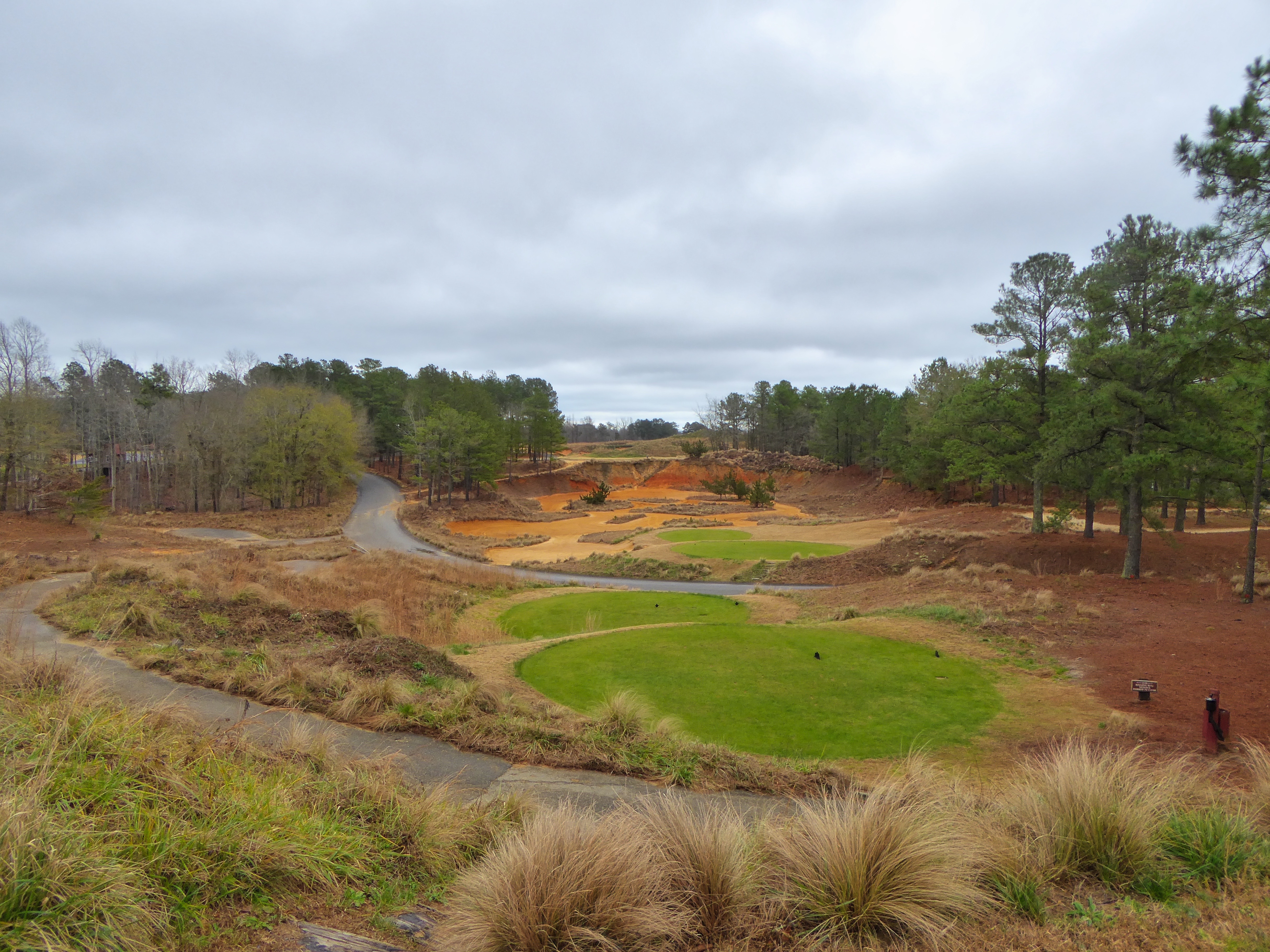
Tobacco Road Par 3
20150516-DSC_6645
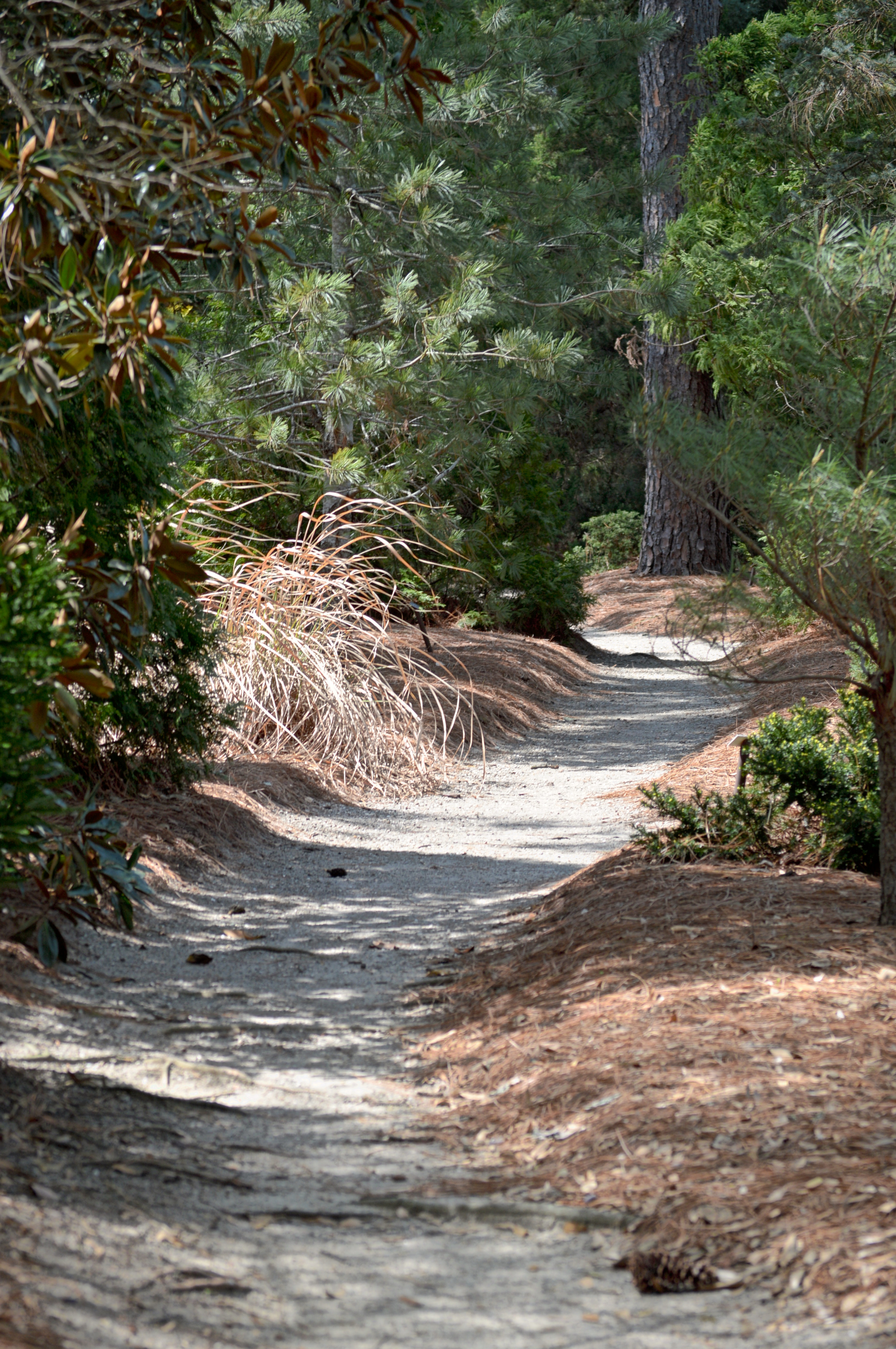
The Path Beckons
Topographic Map of 6, Greenwood, NC, USA
Find elevation by address:

Places in 6, Greenwood, NC, USA:
Places near 6, Greenwood, NC, USA:
Carthage St, Cameron, NC, USA
Cameron
2307 Cranes Creek Rd
Woodlake Country Club
Vass
Union Pines High School
Lakeview
Crystal Lake
435 Causey Rd
24 Shadow Ln
37 Shadow Dr
34 Shadow Dr
35 Shadow Dr
32 Shadow Dr
20 Shadow Ln
33 Shadow Dr
339 Loblolly Dr
26 Shadow Dr
Woodlake Boulevard
7, Mcneill
Recent Searches:
- Elevation of Felindre, Swansea SA5 7LU, UK
- Elevation of Leyte Industrial Development Estate, Isabel, Leyte, Philippines
- Elevation of W Granada St, Tampa, FL, USA
- Elevation of Pykes Down, Ivybridge PL21 0BY, UK
- Elevation of Jalan Senandin, Lutong, Miri, Sarawak, Malaysia
- Elevation of Bilohirs'k
- Elevation of 30 Oak Lawn Dr, Barkhamsted, CT, USA
- Elevation of Luther Road, Luther Rd, Auburn, CA, USA
- Elevation of Unnamed Road, Respublika Severnaya Osetiya — Alaniya, Russia
- Elevation of Verkhny Fiagdon, North Ossetia–Alania Republic, Russia