Elevation of 69 County Rd, Splendora, TX, USA
Location: United States > Texas > Montgomery County > Splendora >
Longitude: -95.097847
Latitude: 30.253285
Elevation: 28m / 92feet
Barometric Pressure: 101KPa
Elevation Map:
Satellite Map:
Related Photos:

Backyard View, Tarkington Prairie, Texas
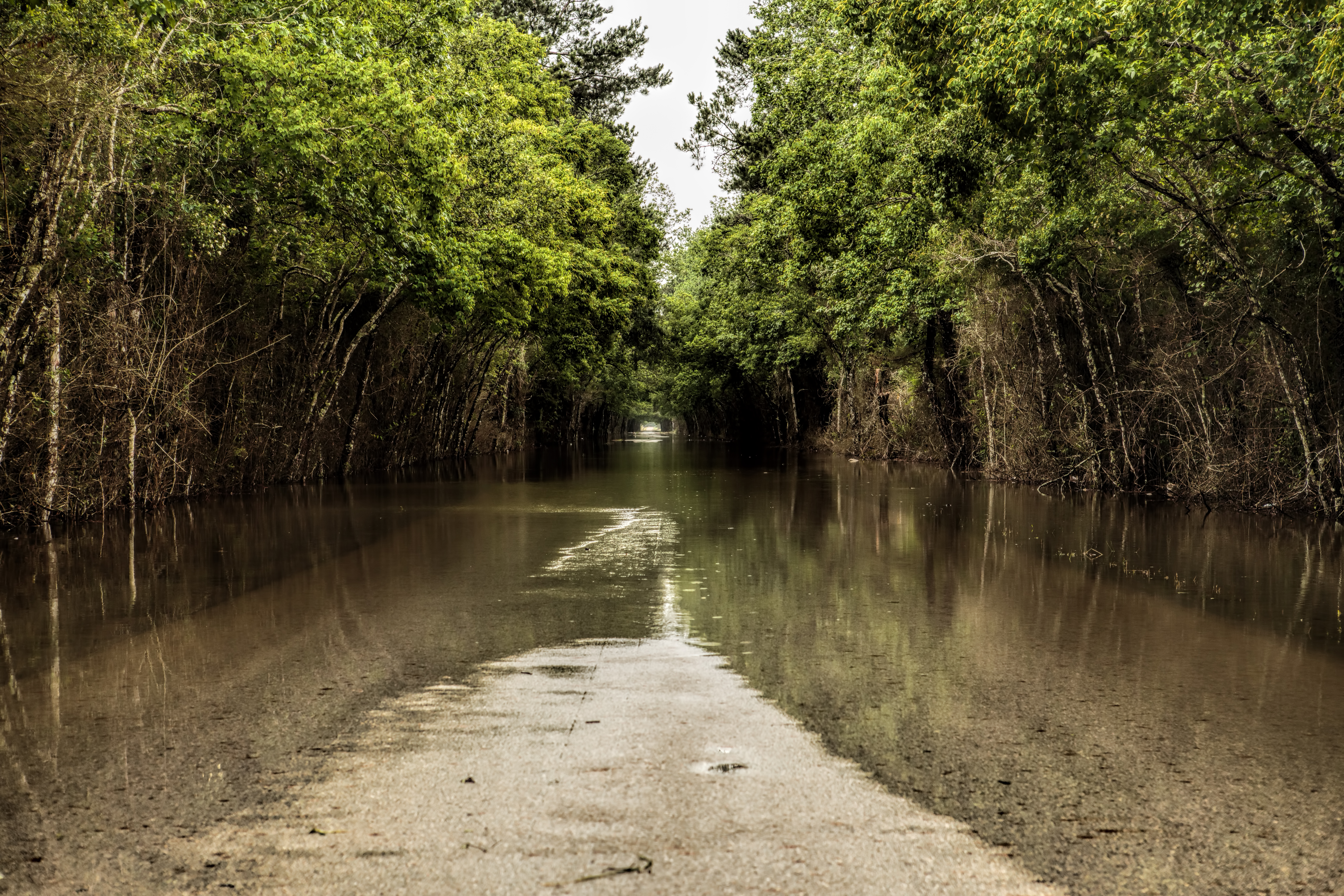
Southeast Texas Floods May 2016

2016-04-07 - New Caney, TX - 1246

Red Blooming Beauty

Peach Creek Lake Houston Park New Caney Texas

25039 West Christine Drive, Splendora TX, 77372 - 0258
25039 West Christine Drive, Splendora TX, 77372 - 0259
25039 West Christine Drive, Splendora TX, 77372 - 0275

Old Golf Course Pond - Roman Forest

Peach Creek, Lake Houston Wilderness Park

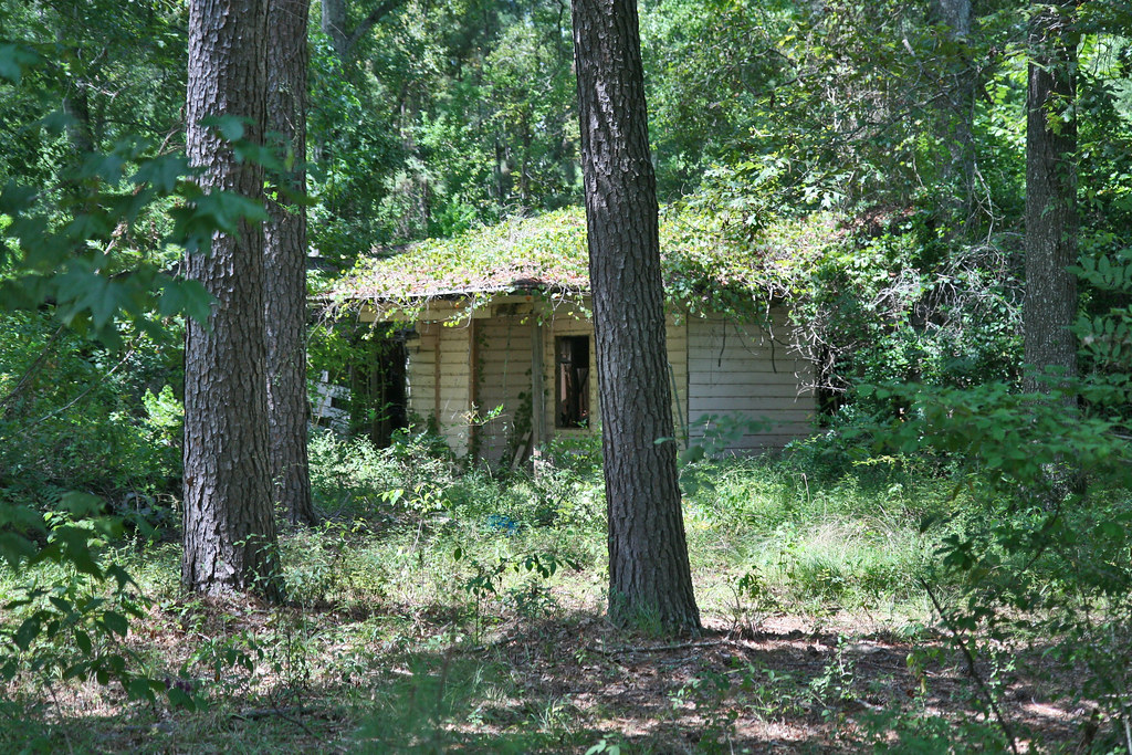
Before: 2010-08 - Hill & Dale, Splendora, TX Land - 0253

Peach Creek, Lake Houston Wilderness Park

Peach Creek, Lake Houston Wilderness Park

Pond in the Woods, Roman Forest

Cat Pond, Lake Houston Wilderness Park

Cat Pond, Lake Houston Wilderness Park

Caney Creek, Lake Houston Wilderness Park

Bidens aristosa

Cat Pond, Lake Houston Wilderness Park
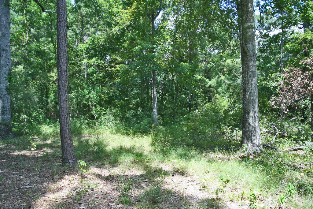
Clearing Phase 1 - 2010-11 - Hill & Dale - Land Clearing - 1335

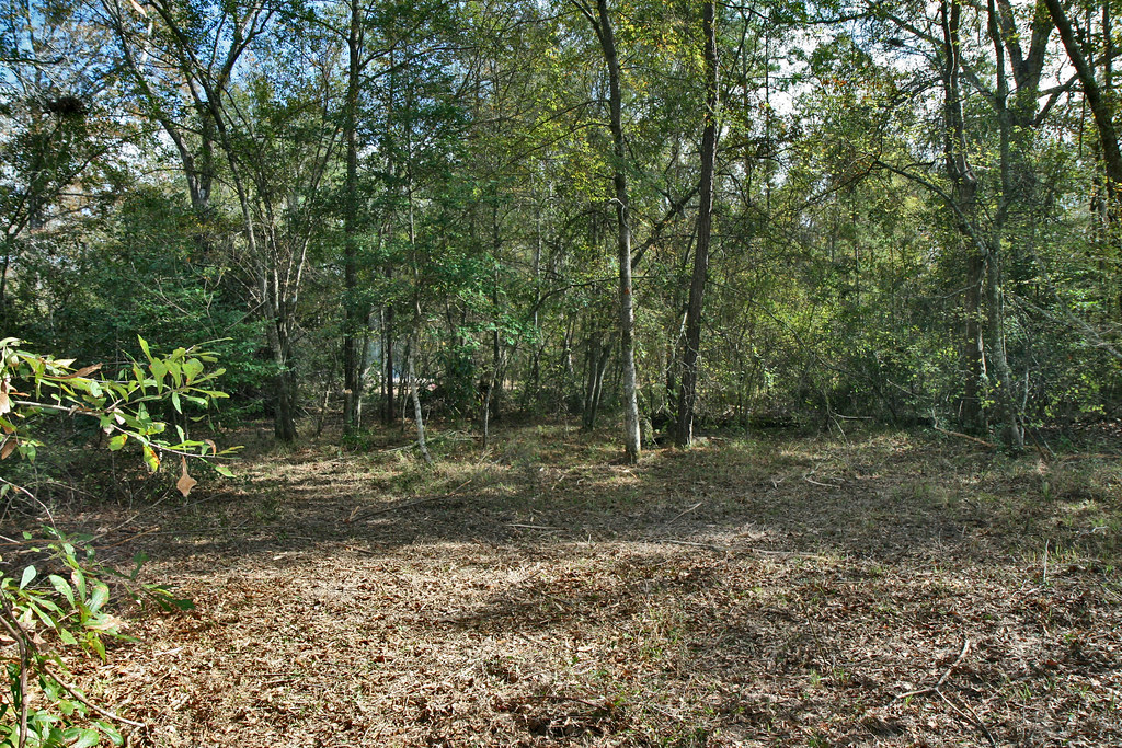
Landscape 1

Cat Pond, Lake Houston Wilderness Park
Topographic Map of 69 County Rd, Splendora, TX, USA
Find elevation by address:

Places near 69 County Rd, Splendora, TX, USA:
County Road, Cleveland, TX, USA
2310 Farm To Market 1010 Rd
79 County Rd, Cleveland, TX, USA
County Rd, Cleveland, TX, USA
58 County Rd 3280
11438 Crossno Dr
1000 County Rd 319
1626 U.s. 59 N Bypass
103 Rice St
121 Rice St
107 Rice St
9891 Fosters Bend
1107 Plum Grove Rd
1107 Plum Grove Rd
Morgan Drive
710 River St
104 E Waco St
530 Wells Ave
703 E Hanson St
602 Shell Ave
Recent Searches:
- Elevation of Orangevale, CA, USA
- Elevation of Doe Cir, Clinton, OH, USA
- Elevation of Narhe, Pune, Maharashtra, India
- Elevation of Martins Mill Ct, Eagle Rock, NC, USA
- Elevation of Kippen, Stirling FK8, UK
- Elevation of Sieveringer Straße, Sieveringer Str., Wien, Austria
- Elevation of Bratskaya Ulitsa, 24, Kurgan, Kurganskaya oblast', Russia
- Elevation of Paradisvegen, Biri, Norway
- Elevation of Crystal Cir, Birmingham, AL, USA
- Elevation of N Railroad Ave, West Palm Beach, FL, USA