Elevation of 67 Franklin St, Barre, VT, USA
Location: United States > Vermont > Washington County > Barre >
Longitude: -72.498497
Latitude: 44.201431
Elevation: 219m / 719feet
Barometric Pressure: 99KPa
Elevation Map:
Satellite Map:
Related Photos:
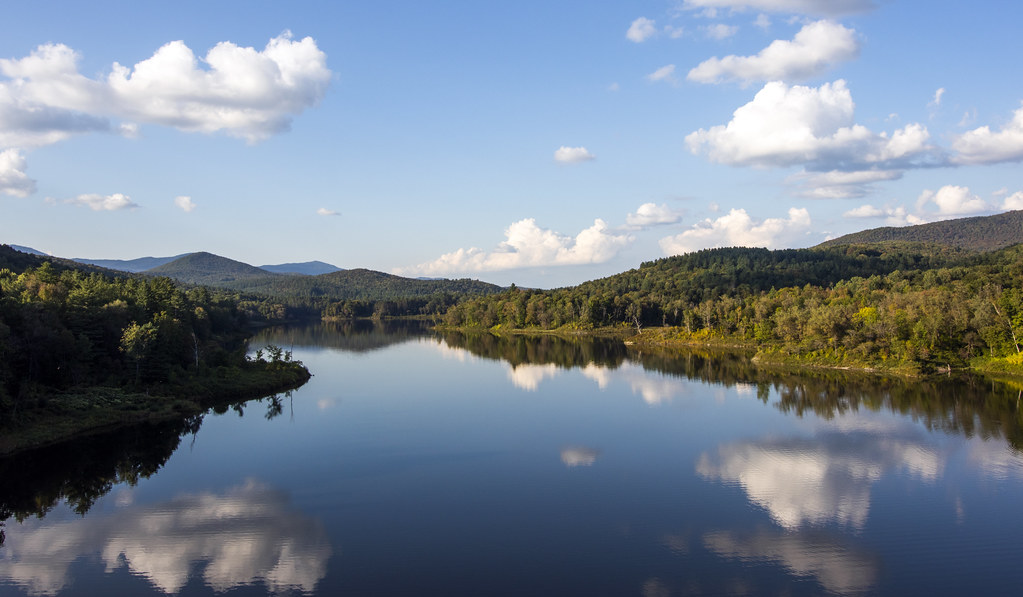
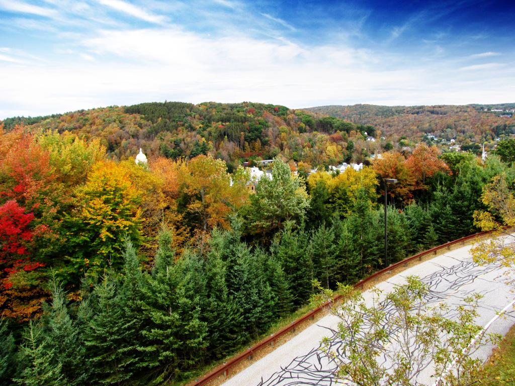
Wrightsville Reservoir
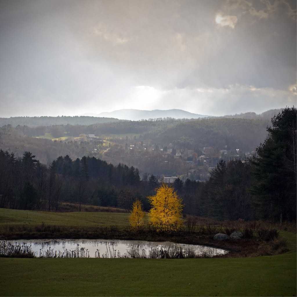
Before the First Snow

Monrning view with clouds
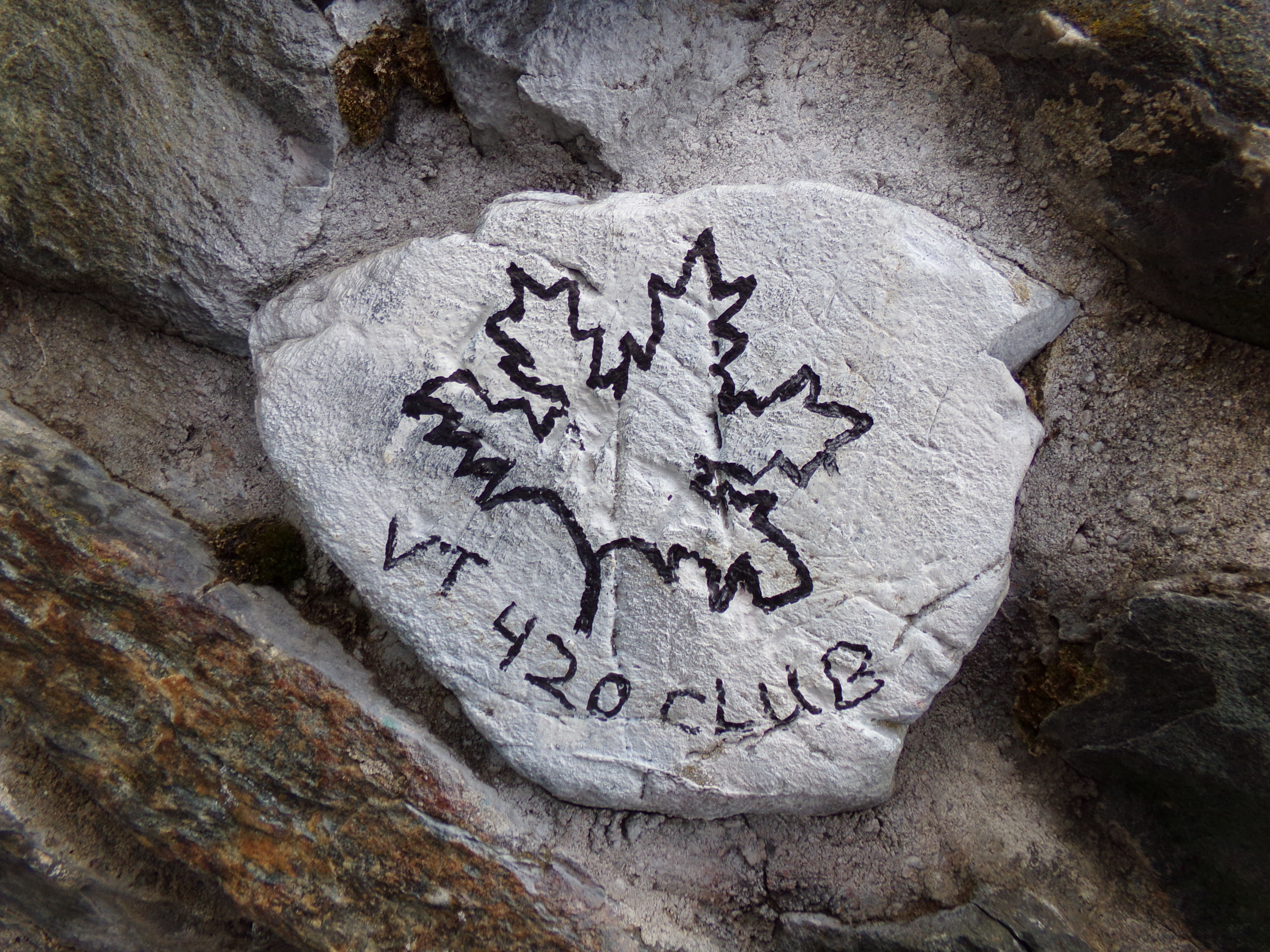
VT 420 Club Rock

Socialist Labor Party Hall (1900) – southwest view

Old Barre Vermont Mural
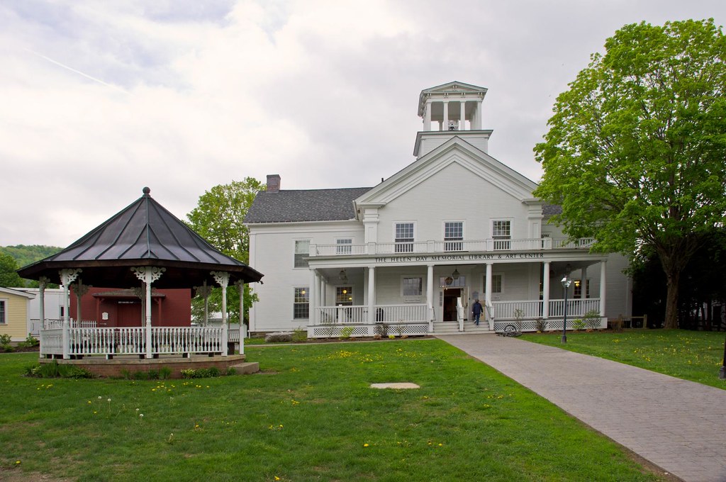
Stowe Free Library
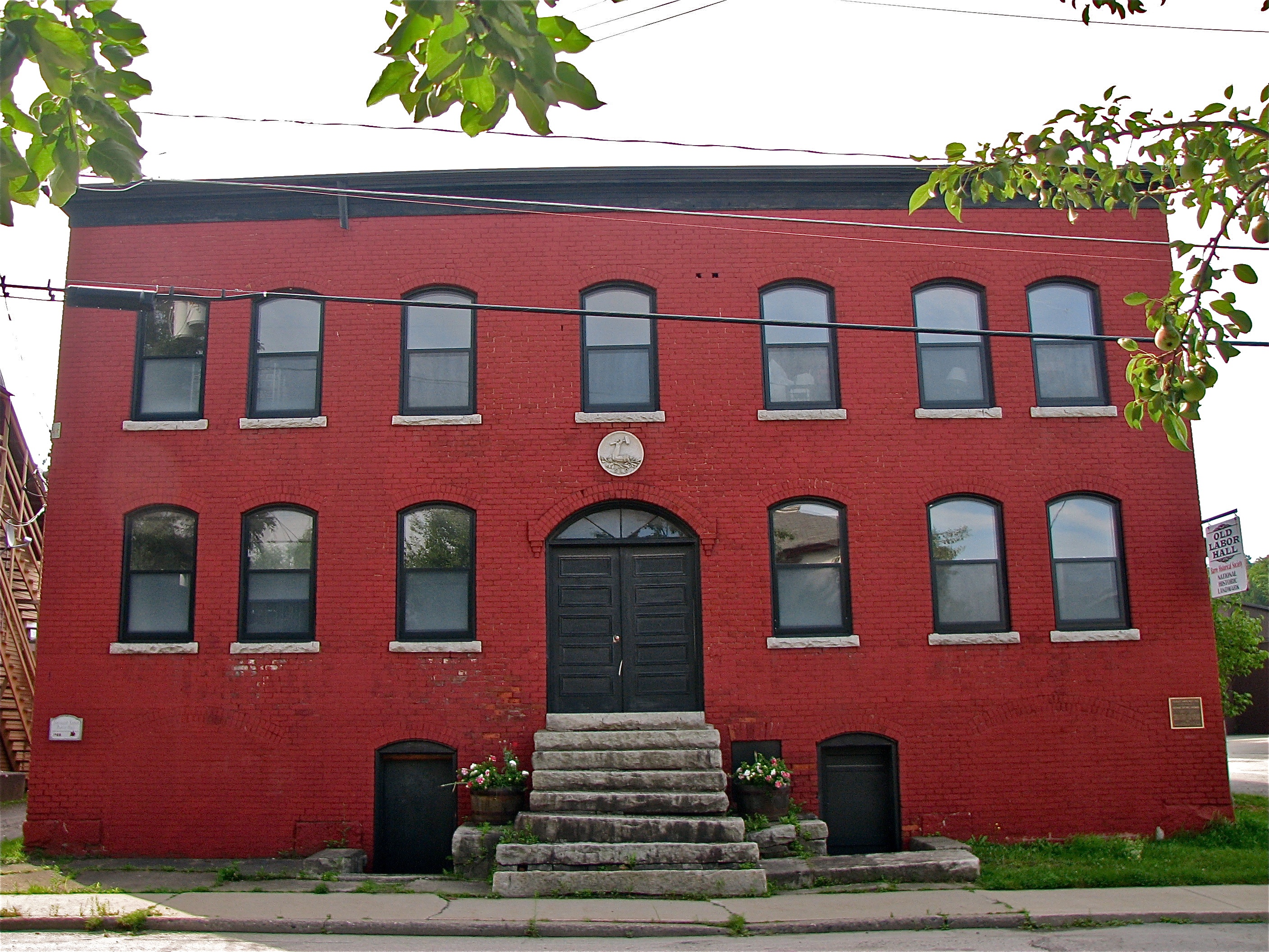
Socialist Labor Party Hall (1900) – front view
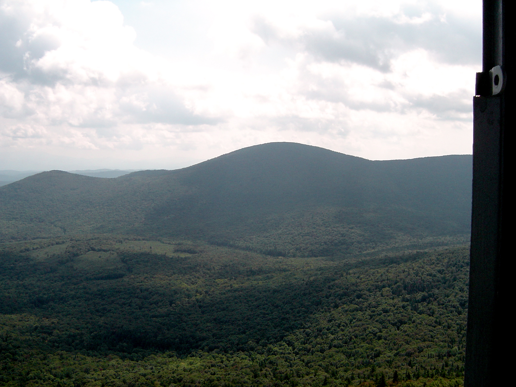
Fire Tower View (3)

Spruce Mountain, Vermont
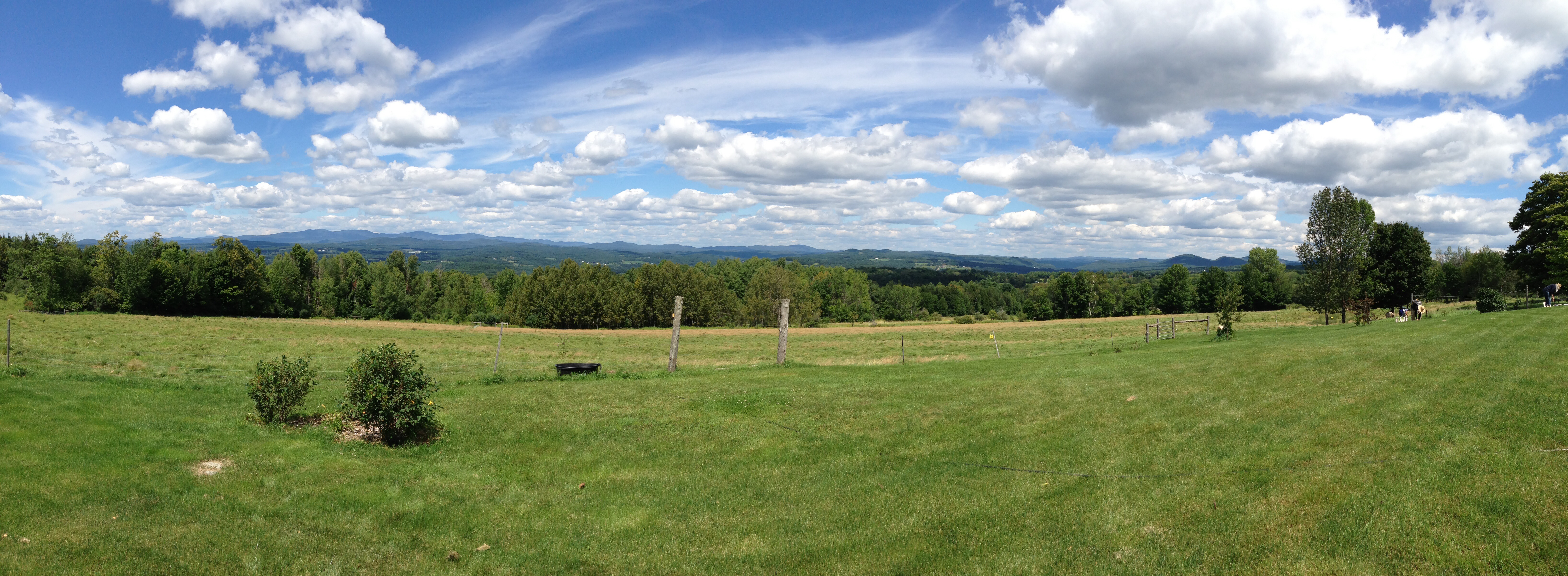
View from Comstock B&B
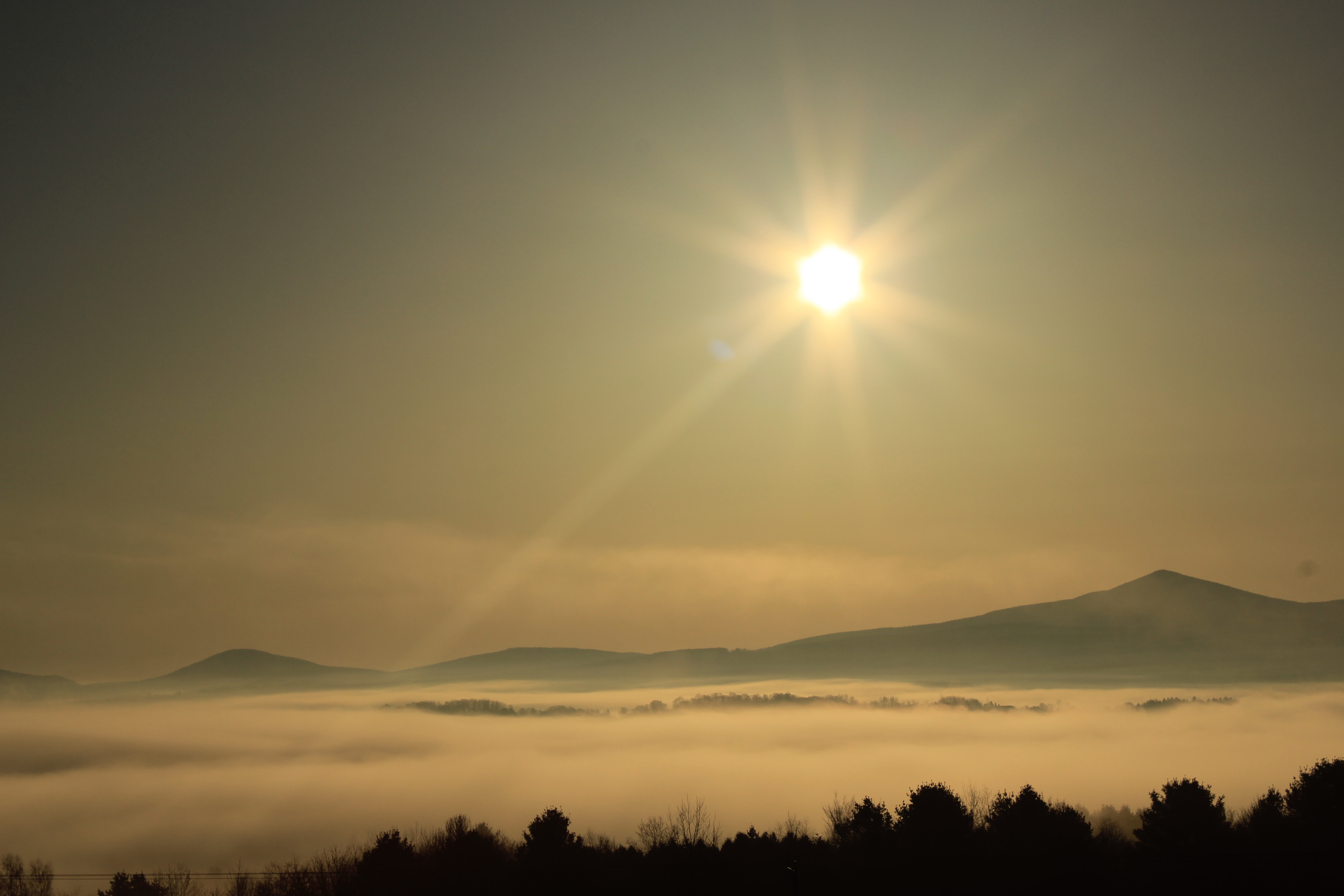
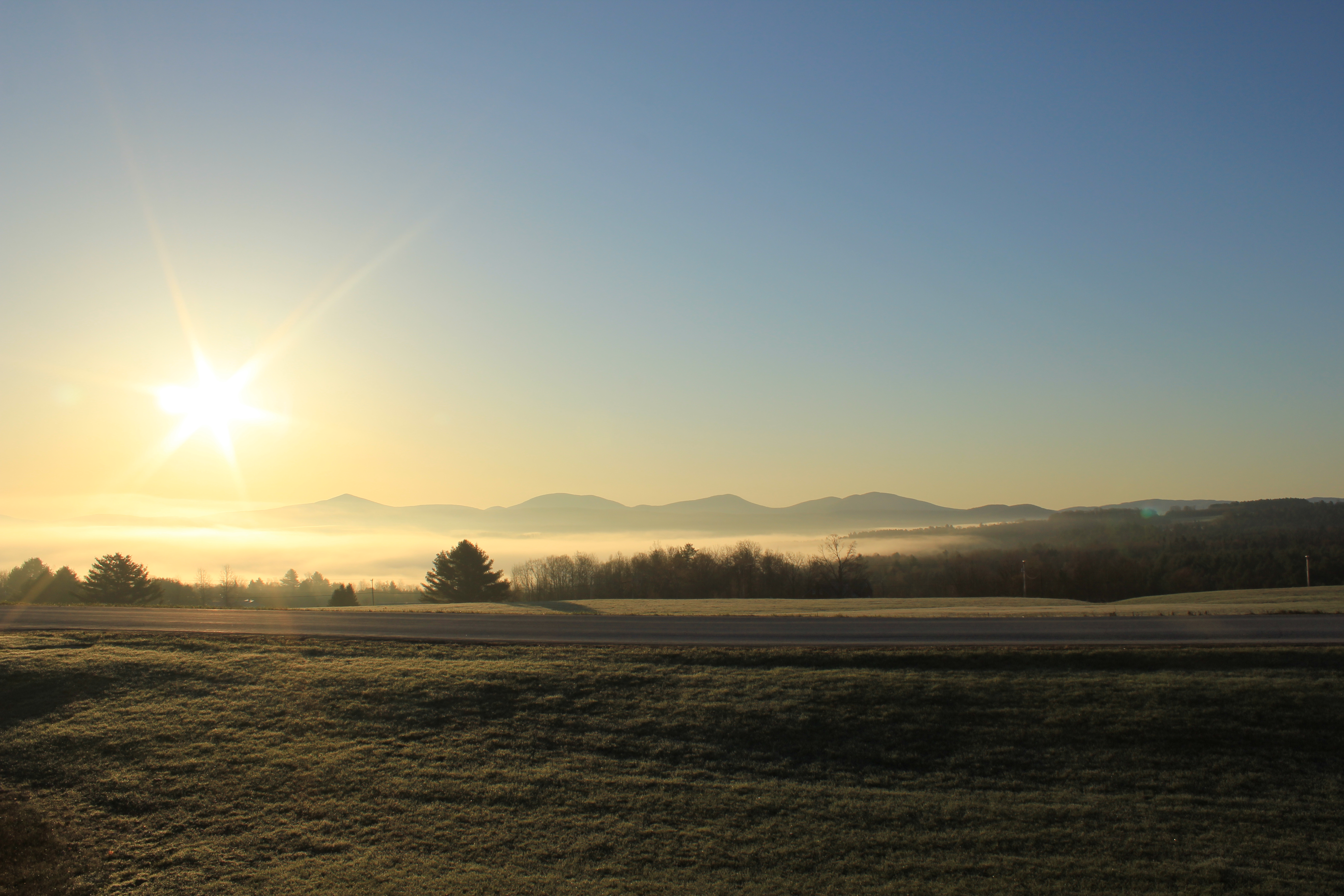
sun rise

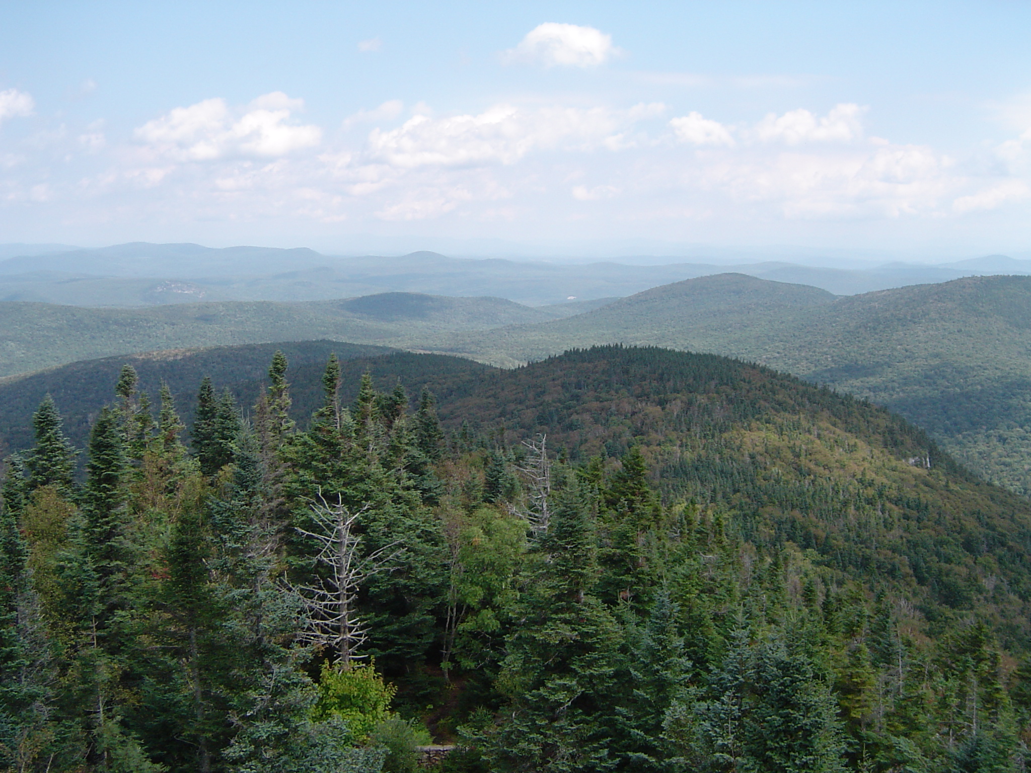
View from the Fire Tower

sun rise
sun rise
new england trip133

Fire Tower View (2)
Fire Tower View (1)
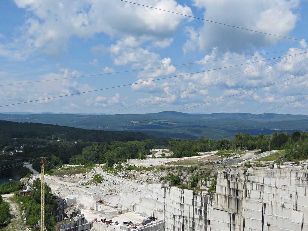
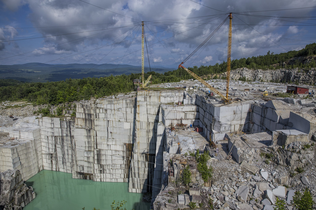
Rock of Ages quarry, Vermont
mouse-eye • view
breaking through
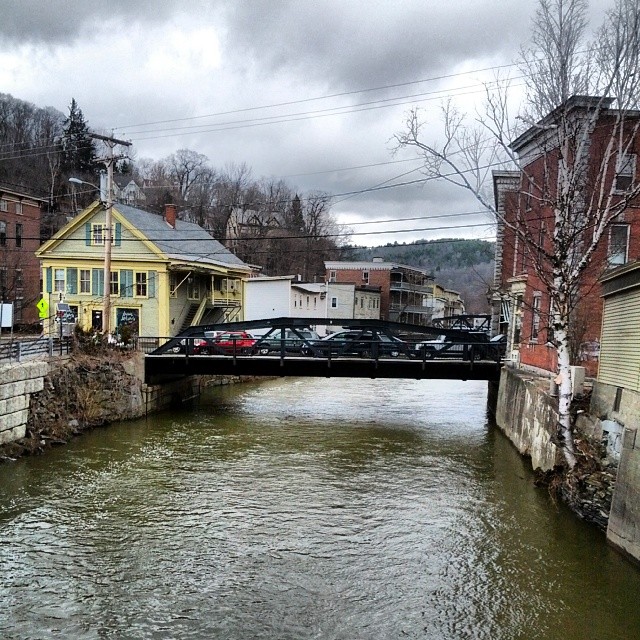
Falls Bridge 3

Fritillary Butterfly on Joe Pye Weed
In the Cabin
Fall colors

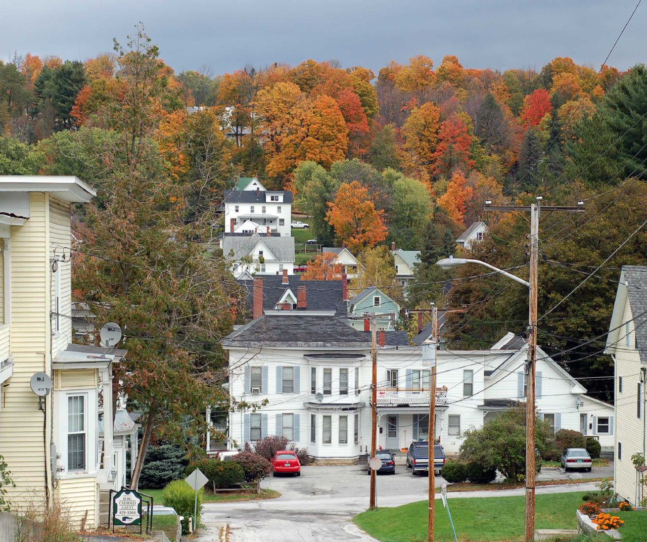
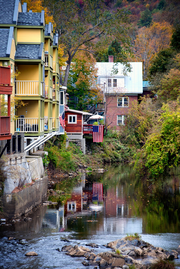
Montpelier Junction, Vermont

Vermont State Capitol Building

Camels Hump Sunset

Vermont State Capital
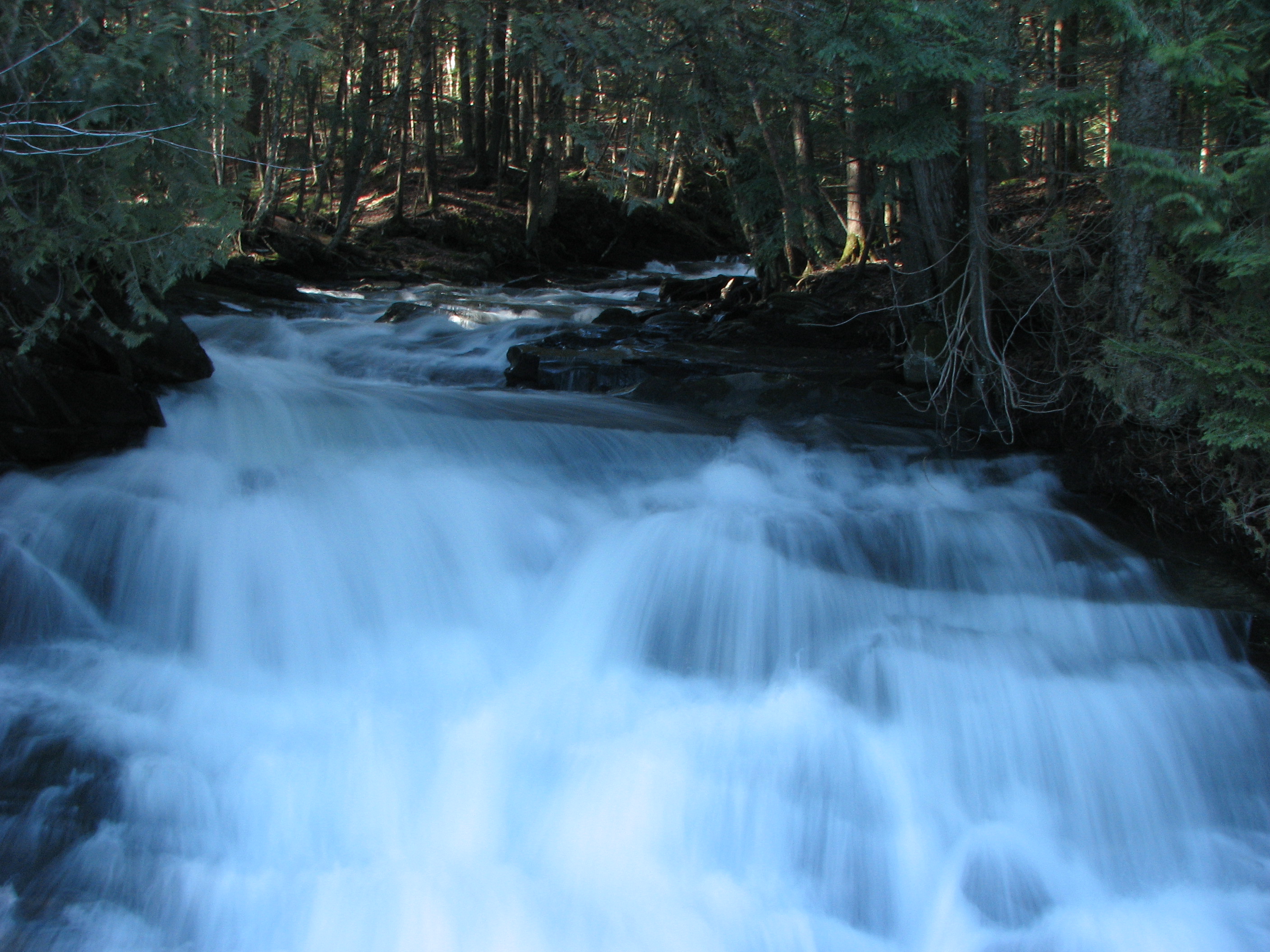
Falls Bridge 1
t42_915920151012_DSC5774.jpg
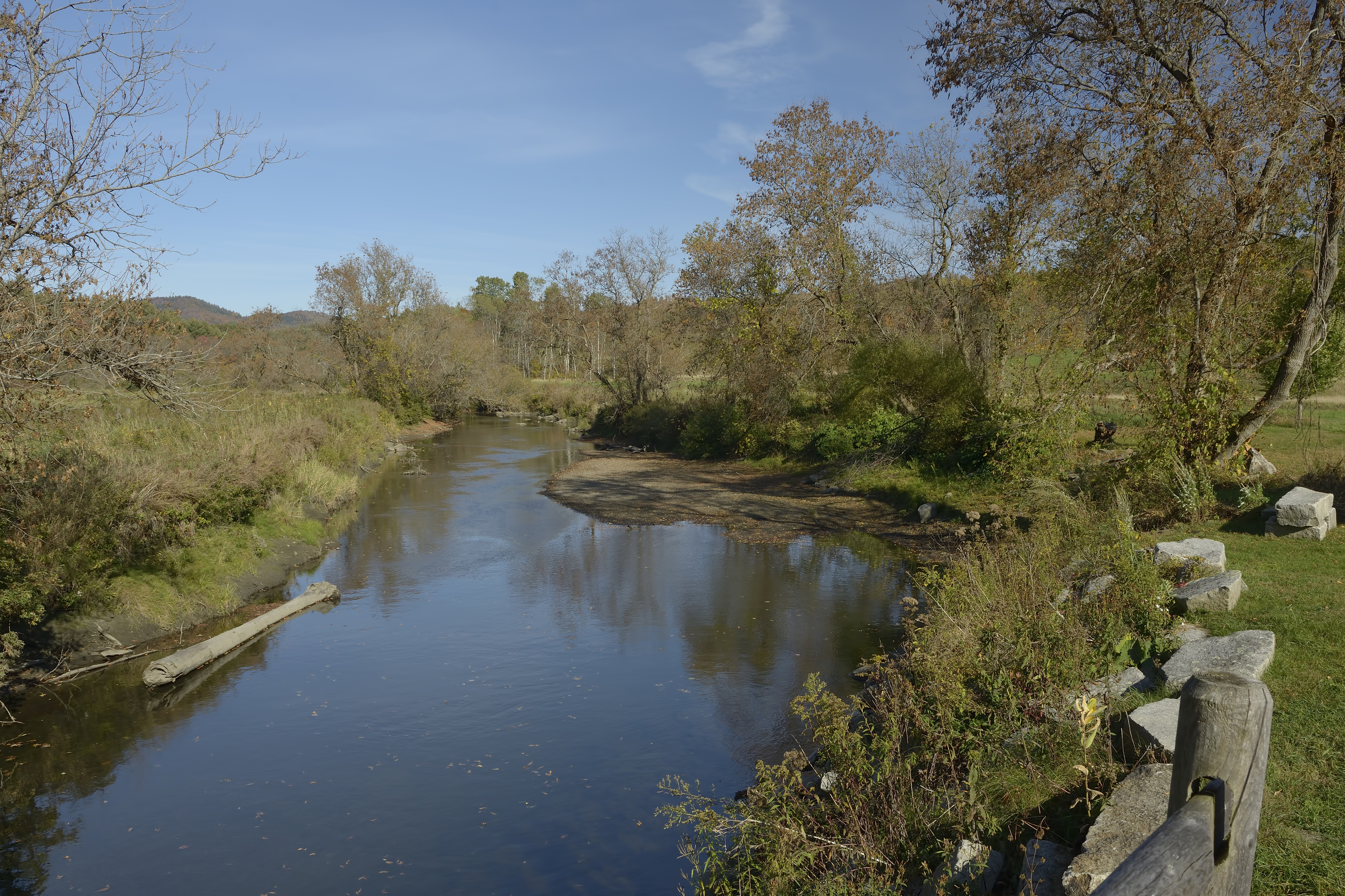
Winooski River Marshfield Vermont
E.L. Smith Quarry - Barre, Vermont
Muddy Onion
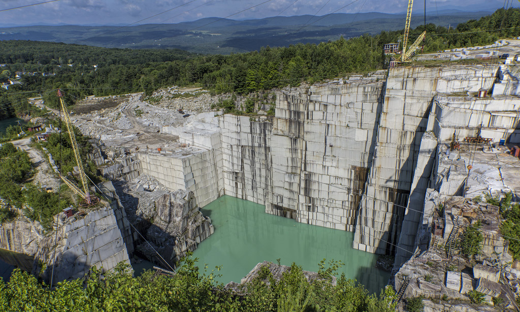
E.L. Smith Quarry - Barre, Vermont
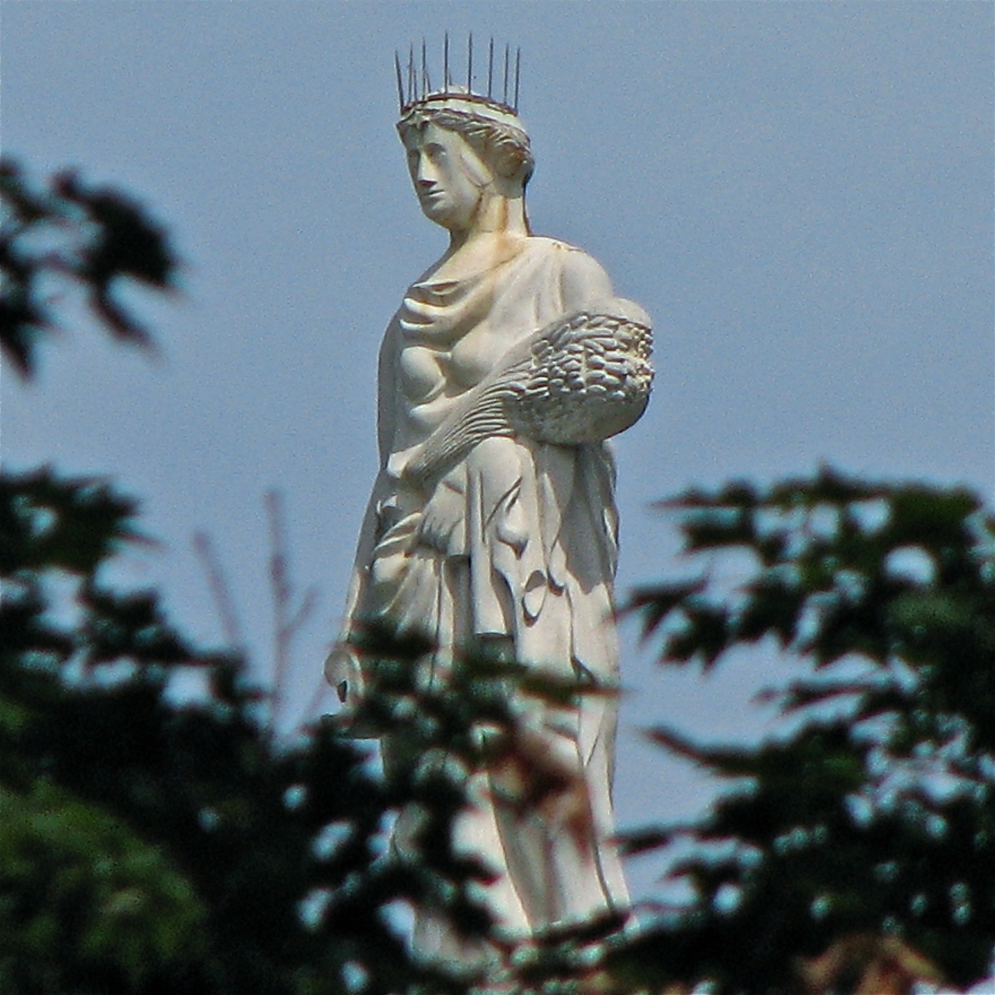
ceres • goddess.of.agriculture

Northfield Falls Covered Bridge
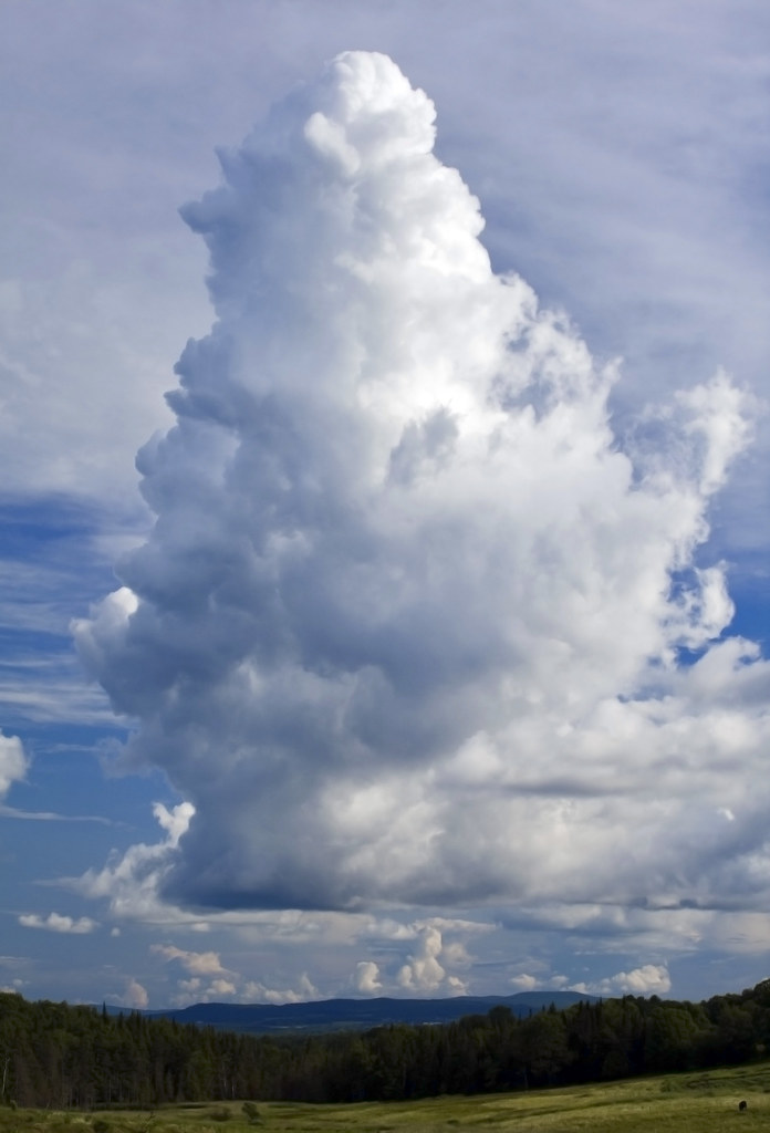
Ice Cream Cloud
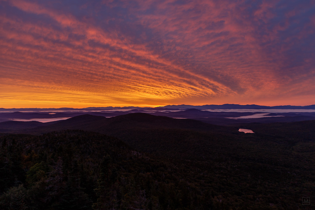
Sunrise, Mt. Washington in the Distance
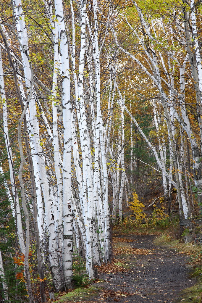
Birch Path
Topographic Map of 67 Franklin St, Barre, VT, USA
Find elevation by address:

Places near 67 Franklin St, Barre, VT, USA:
69 Franklin St
45 Park St
57 Park St
64 Warren St
B.o.r. Ice Arena
1 East St
Merchants Row, Barre, VT, USA
Barre
73 S Main St
65 Pleasant St
43 Fortney Pl
45 Fortney Pl
1 Waterman St
Skylark Terrace
320 Washington St
16 Spring St
42 Countryside Dr
6 Sugarwoods Rd
6 Sugarwoods Rd
50 Cherrywood Dr
Recent Searches:
- Elevation of Rojo Ct, Atascadero, CA, USA
- Elevation of Flagstaff Drive, Flagstaff Dr, North Carolina, USA
- Elevation of Avery Ln, Lakeland, FL, USA
- Elevation of Woolwine, VA, USA
- Elevation of Lumagwas Diversified Farmers Multi-Purpose Cooperative, Lumagwas, Adtuyon, RV32+MH7, Pangantucan, Bukidnon, Philippines
- Elevation of Homestead Ridge, New Braunfels, TX, USA
- Elevation of Orchard Road, Orchard Rd, Marlborough, NY, USA
- Elevation of 12 Hutchinson Woods Dr, Fletcher, NC, USA
- Elevation of Holloway Ave, San Francisco, CA, USA
- Elevation of Norfolk, NY, USA