Elevation of 66 Yerry Hill Rd, Woodstock, NY, USA
Location: United States > New York > Ulster County > Woodstock > Woodstock >
Longitude: -74.147754
Latitude: 42.035238
Elevation: 193m / 633feet
Barometric Pressure: 99KPa
Elevation Map:
Satellite Map:
Related Photos:

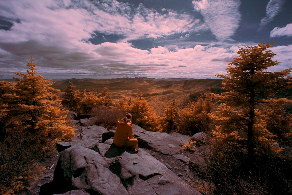
There's a Few Seats Left - HDR

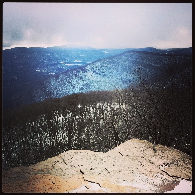
View from Overlook
Bubble Gum Summit View
Marbelite 8-8-12
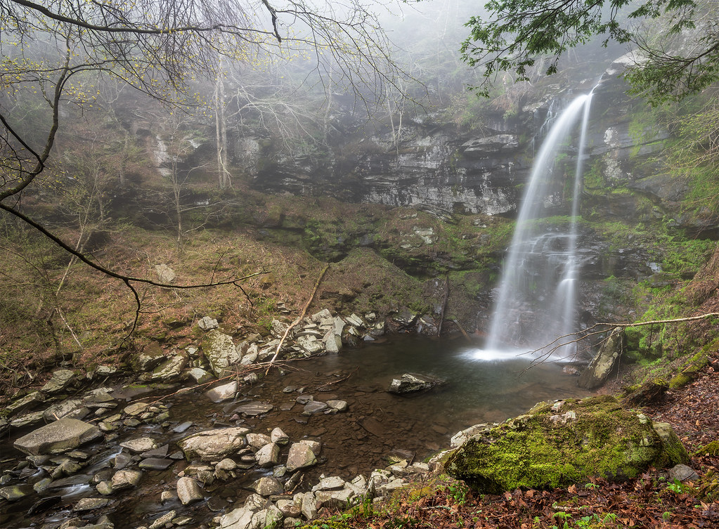
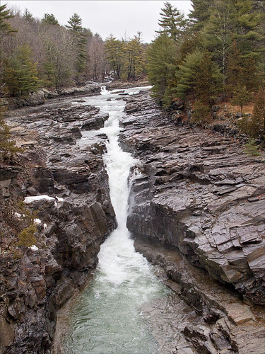
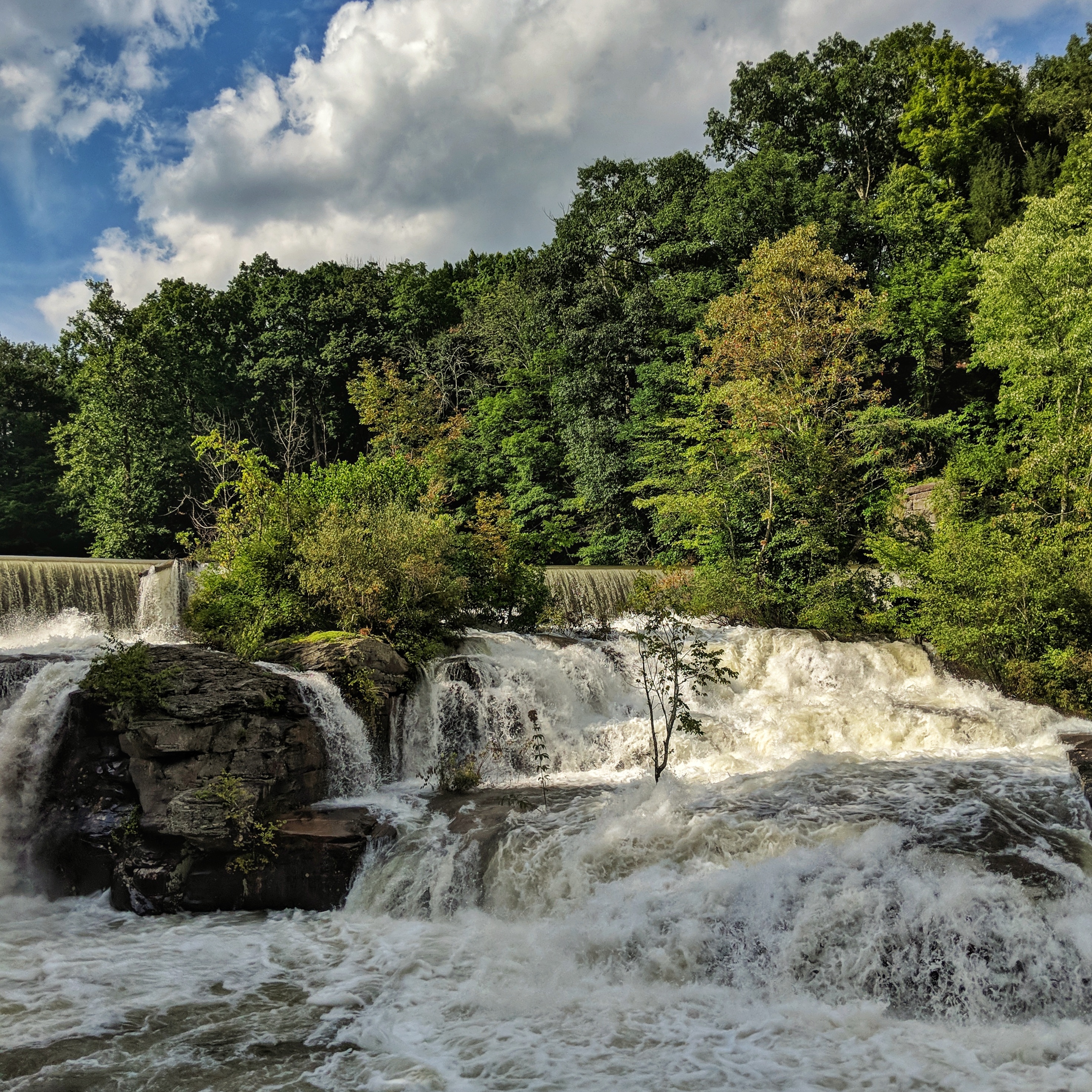
Platte Kill Falls
Edge Of The Known World

2012-12-26; View out of the window
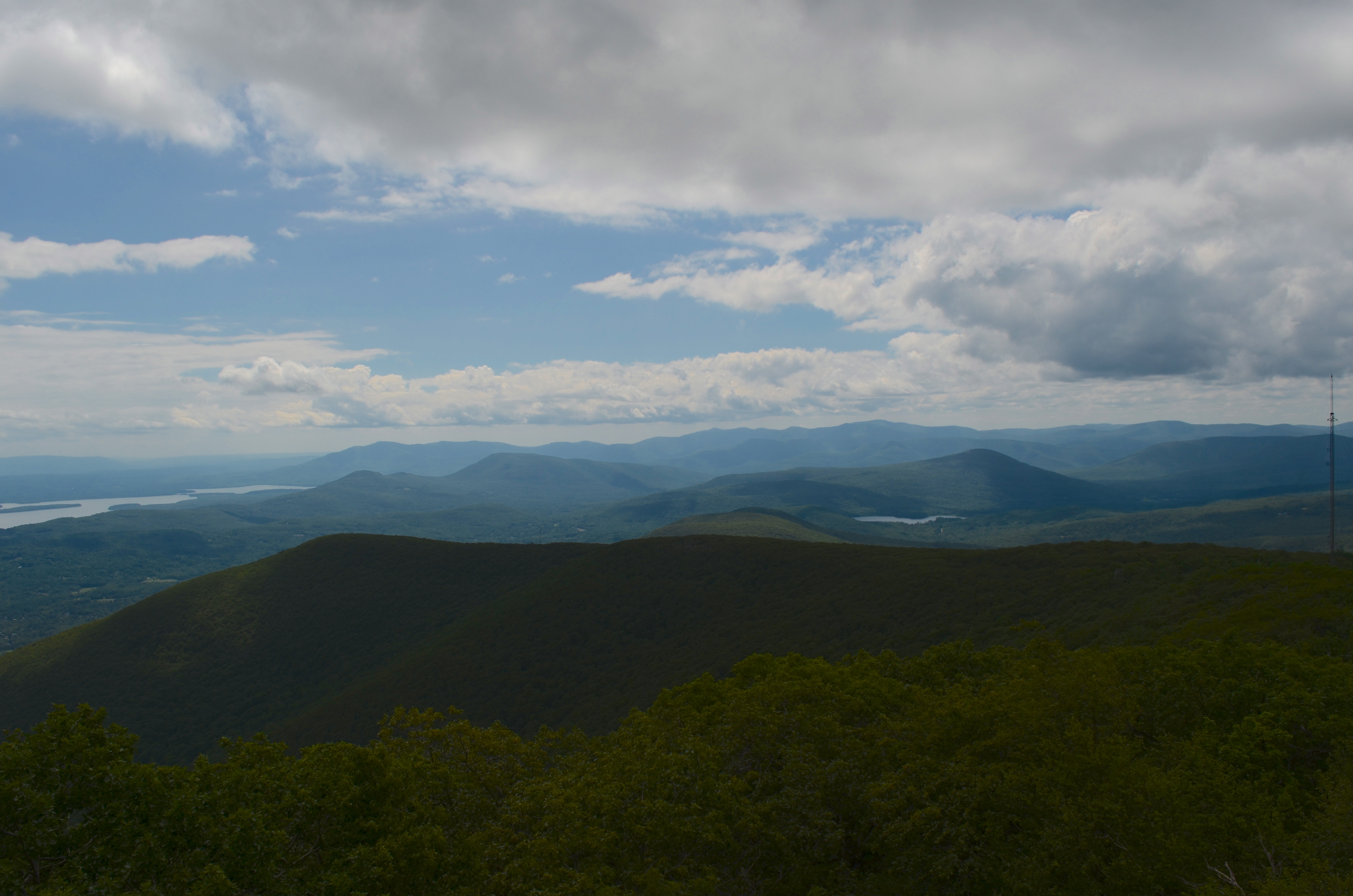
View from Overlook Mountain in the Catskills
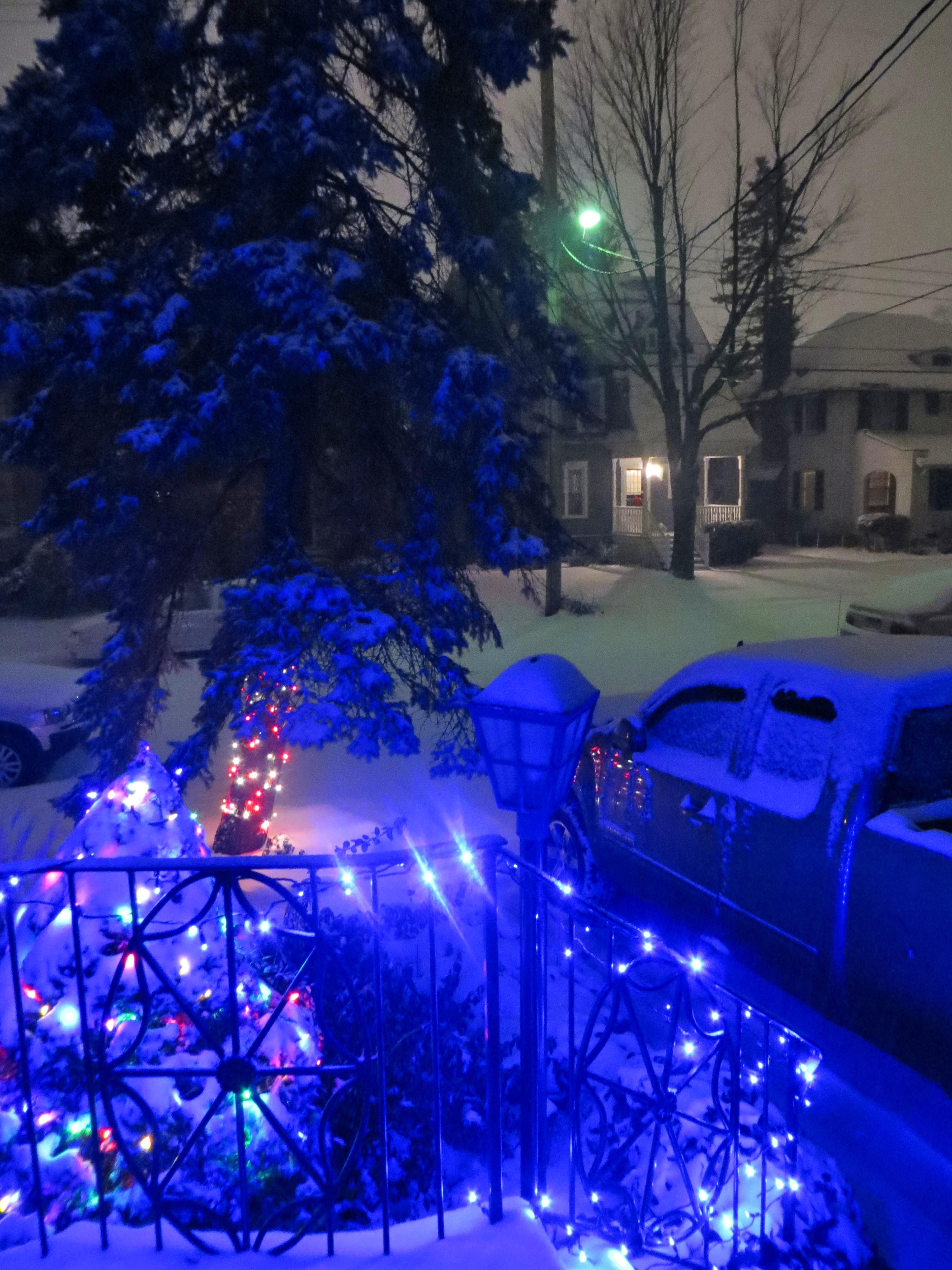
2012-12-26; Winter Wonderland
Just a little break in a bad situation.

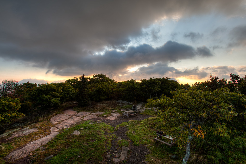
Overlook Dawn
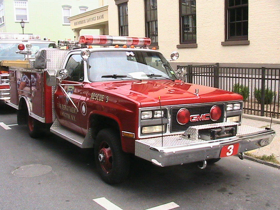
Kingston Fire Dept. GMC E-One Rescue 3

Let the rain fall down
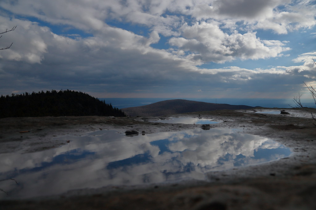
View from Overlook Fire Tower

View from Devil's Path east of Indian Head Mountain in Catskill Mountains
Indian Head Mt.
Billy Jilly Downhilly
Kingston Fire Dept. GMC E-One Rescue 3

DSC03167adj Welcome to Woodstock
spillway wider view
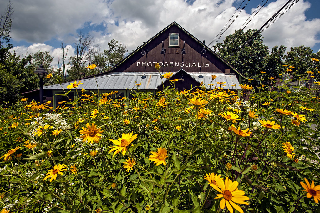
Woodstock - Photosensualis
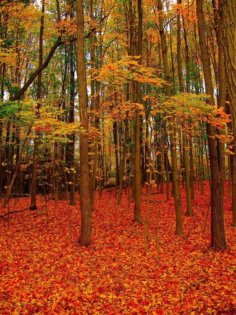
Glowing Autumn
Devil's Path, Catskills 1

Catskill Mountains

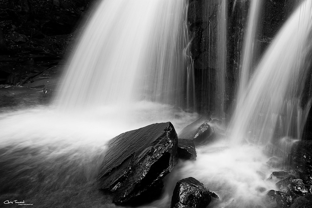
Ahsoken Waterline Mono 2
Devils Kitchen Falls, New York

Devil's Path, Catskills 9
Big Woodstock Rain
The Catskills Beyond Driftwood Cove

For Jake
HER_0056.jpg

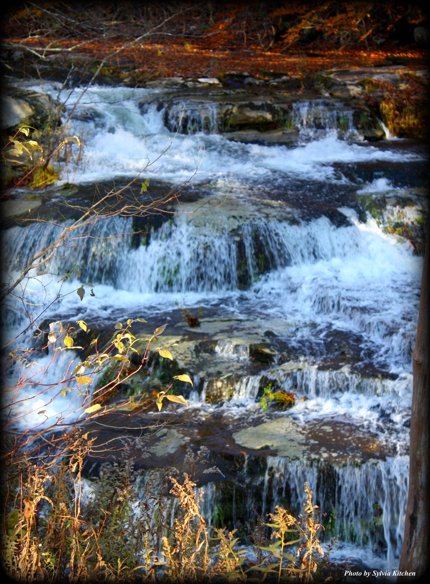
Platte Clove Falls
Lower Esopus Creek at Ashokan Center
The Falls Out Back
Stoney Clove Creek

Catskills Trip (282 of 286)

Old Beaver Pond
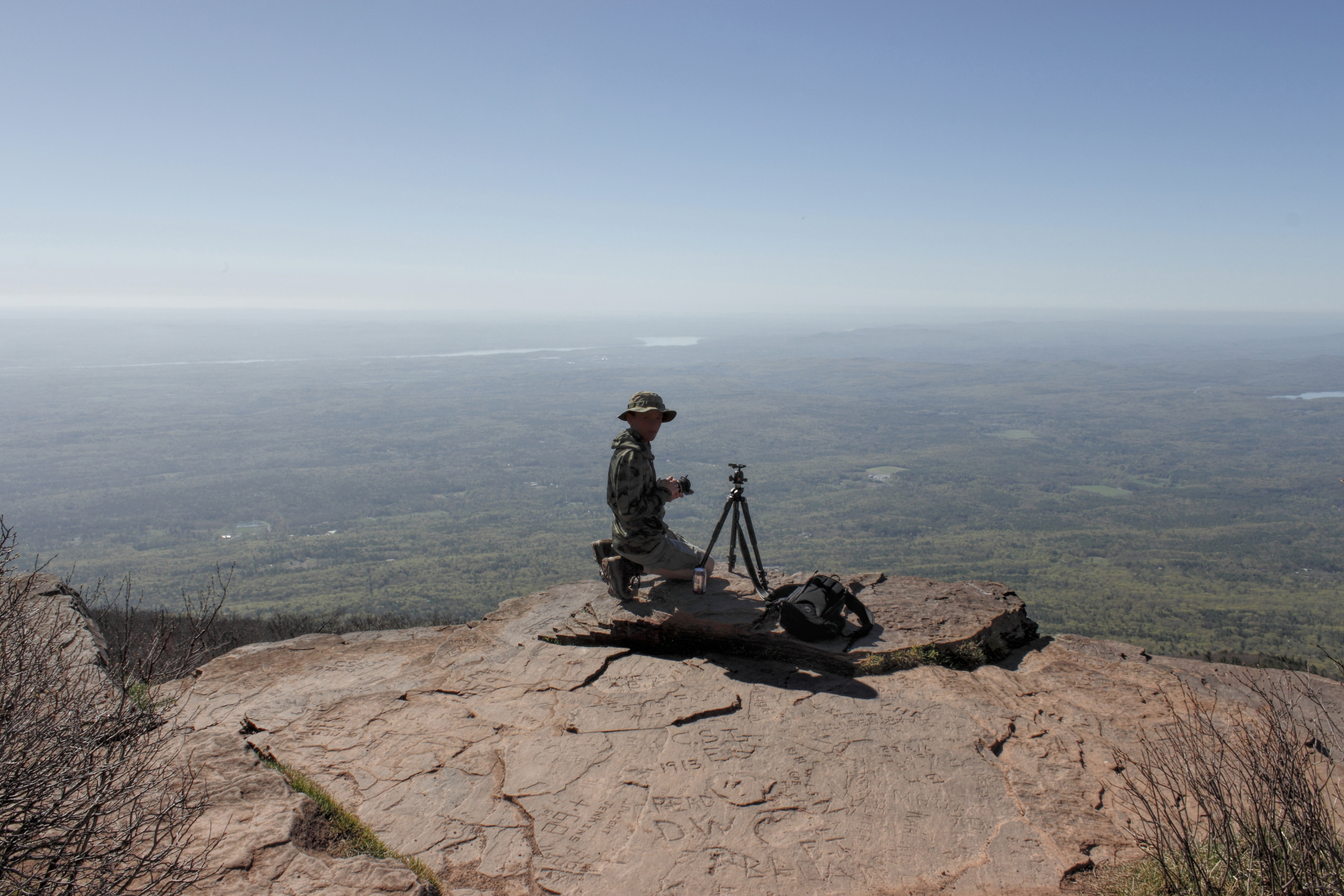
Overlook Mountain Trail
Topographic Map of 66 Yerry Hill Rd, Woodstock, NY, USA
Find elevation by address:

Places near 66 Yerry Hill Rd, Woodstock, NY, USA:
1 Wittenberg Rd
219 Tinker St
217 Tinker St
29 Nordic Dr
Tinker Street
Tinker Street
Bearsville
Woodstock
2647 Glasco Turnpike
10 Wolven Ln
12 Wolven Ln
The Comeau Property
25 Sunset Ridge
11 Wolven Ln
2396 Glasco Turnpike
2385 Glasco Turnpike
137 Tinker St
44 High Rocks Rd
450 Ohayo Mountain Rd
45 Comeau Drive
Recent Searches:
- Elevation of Crocker Dr, Vacaville, CA, USA
- Elevation of Pu Ngaol Community Meeting Hall, HWHM+3X7, Krong Saen Monourom, Cambodia
- Elevation of Royal Ontario Museum, Queens Park, Toronto, ON M5S 2C6, Canada
- Elevation of Groblershoop, South Africa
- Elevation of Power Generation Enterprises | Industrial Diesel Generators, Oak Ave, Canyon Country, CA, USA
- Elevation of Chesaw Rd, Oroville, WA, USA
- Elevation of N, Mt Pleasant, UT, USA
- Elevation of 6 Rue Jules Ferry, Beausoleil, France
- Elevation of Sattva Horizon, 4JC6+G9P, Vinayak Nagar, Kattigenahalli, Bengaluru, Karnataka, India
- Elevation of Great Brook Sports, Gold Star Hwy, Groton, CT, USA