Elevation of 64 Harvey Rd, Worthington, MA, USA
Location: United States > Massachusetts > Hampshire County > Worthington >
Longitude: -72.932977
Latitude: 42.3956651
Elevation: 437m / 1434feet
Barometric Pressure: 96KPa
Elevation Map:
Satellite Map:
Related Photos:

Let there be Clouds

Nature's Lines and Curves
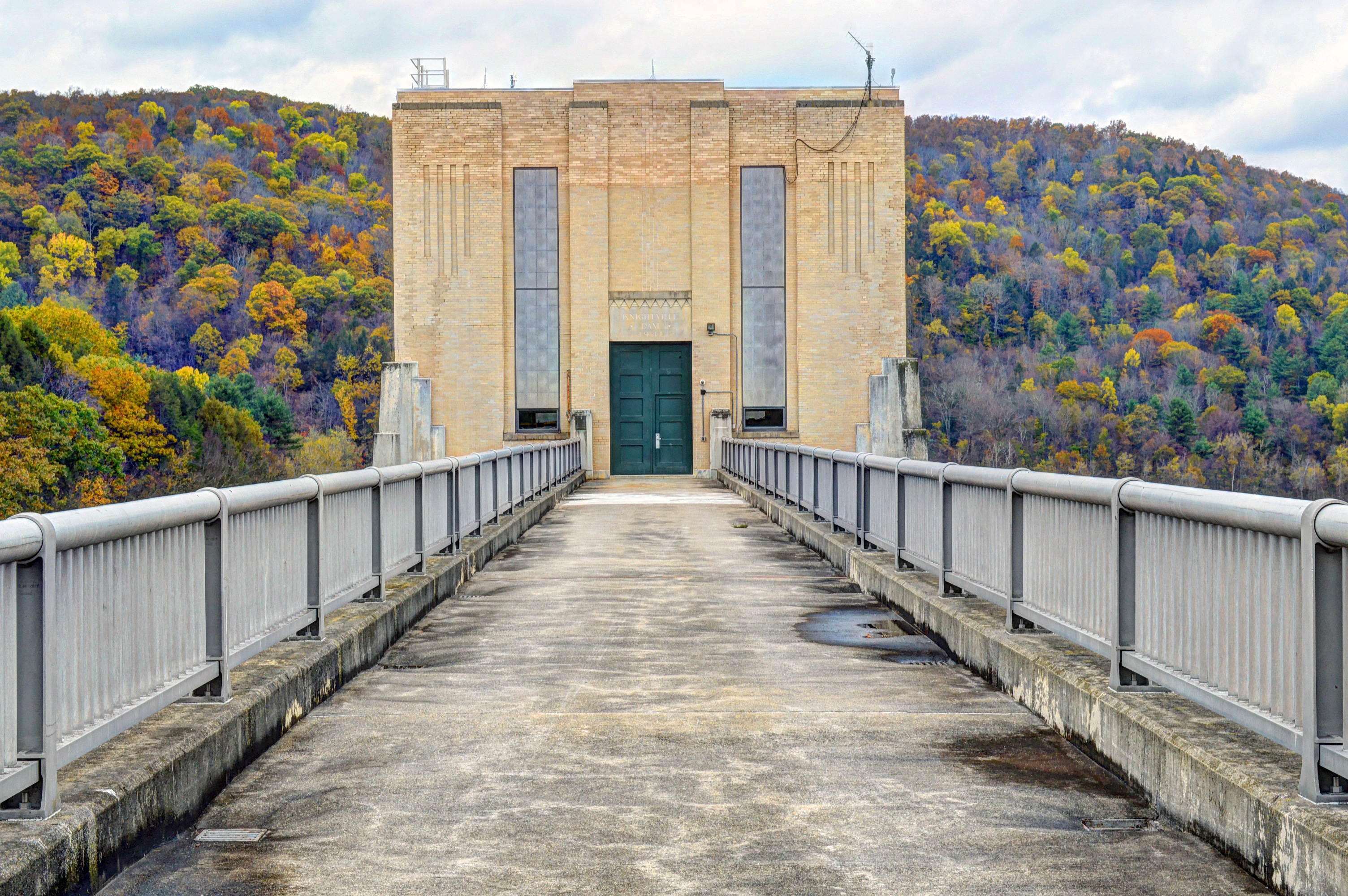
Knightville Dam
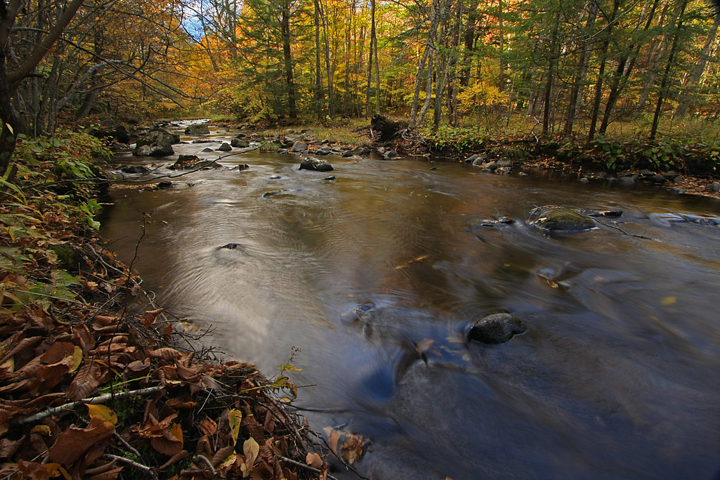
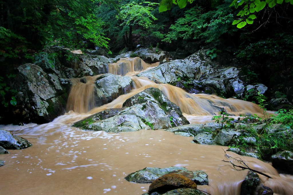
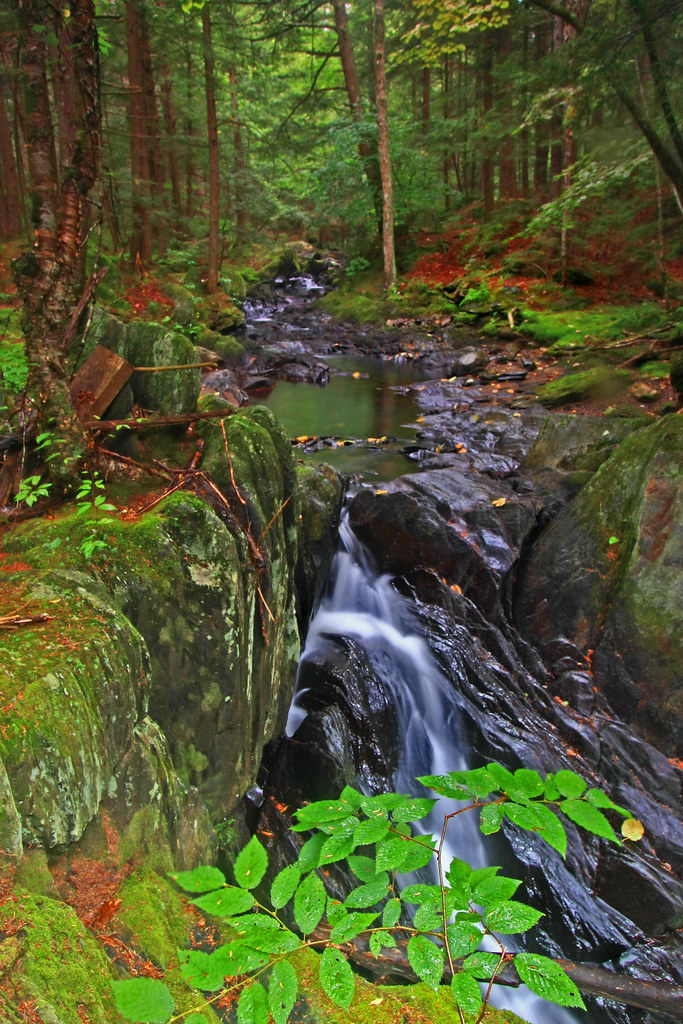
The Soothing Flow of a Woodland Stream
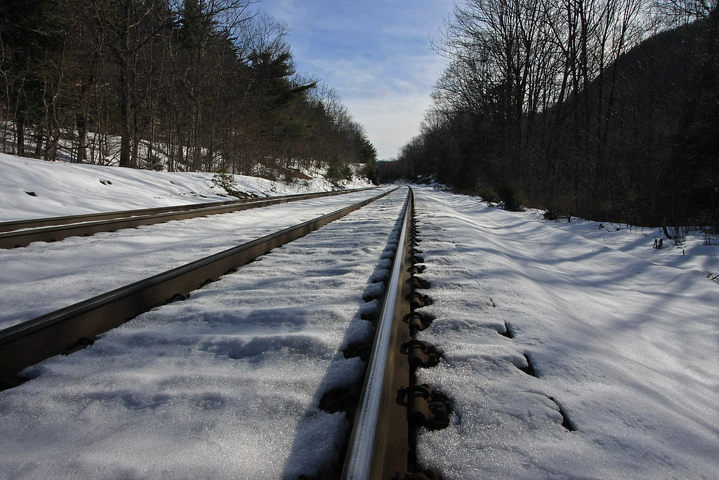
Tracks in the Snow
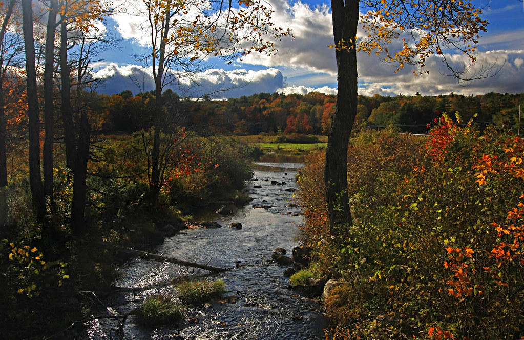
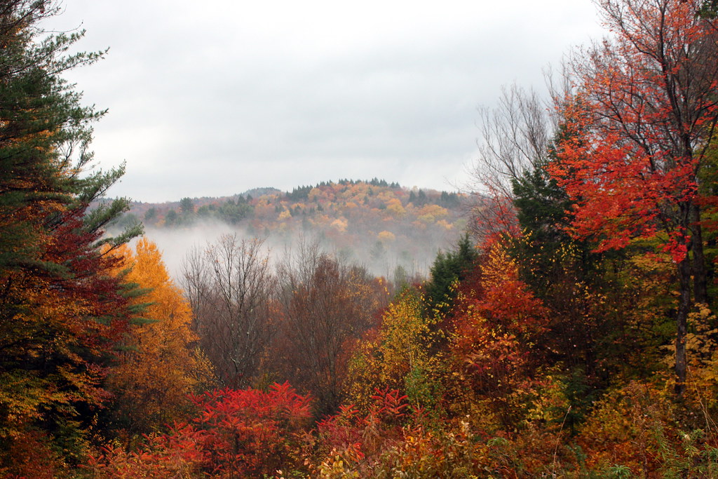
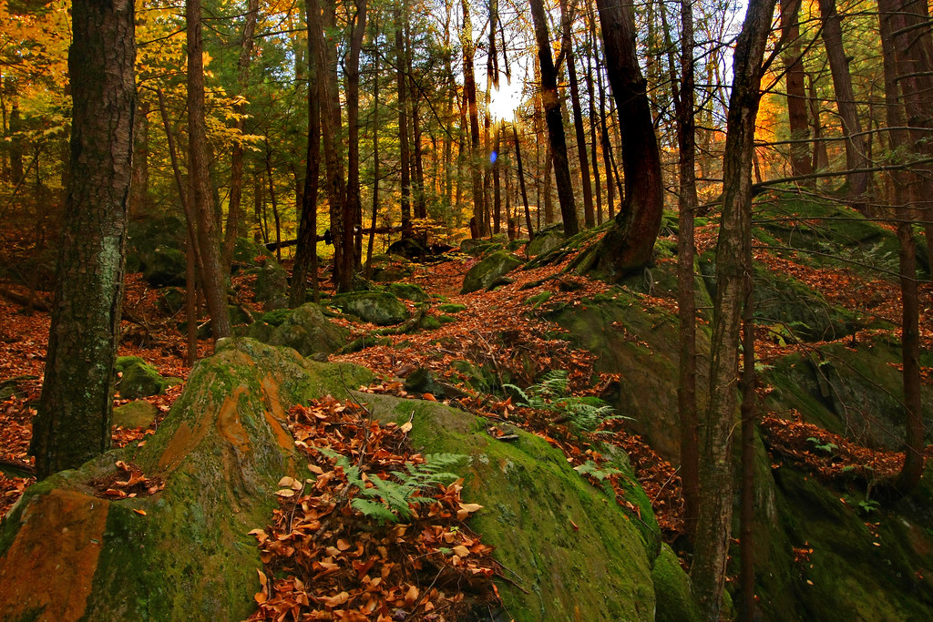
A Brook in Fall
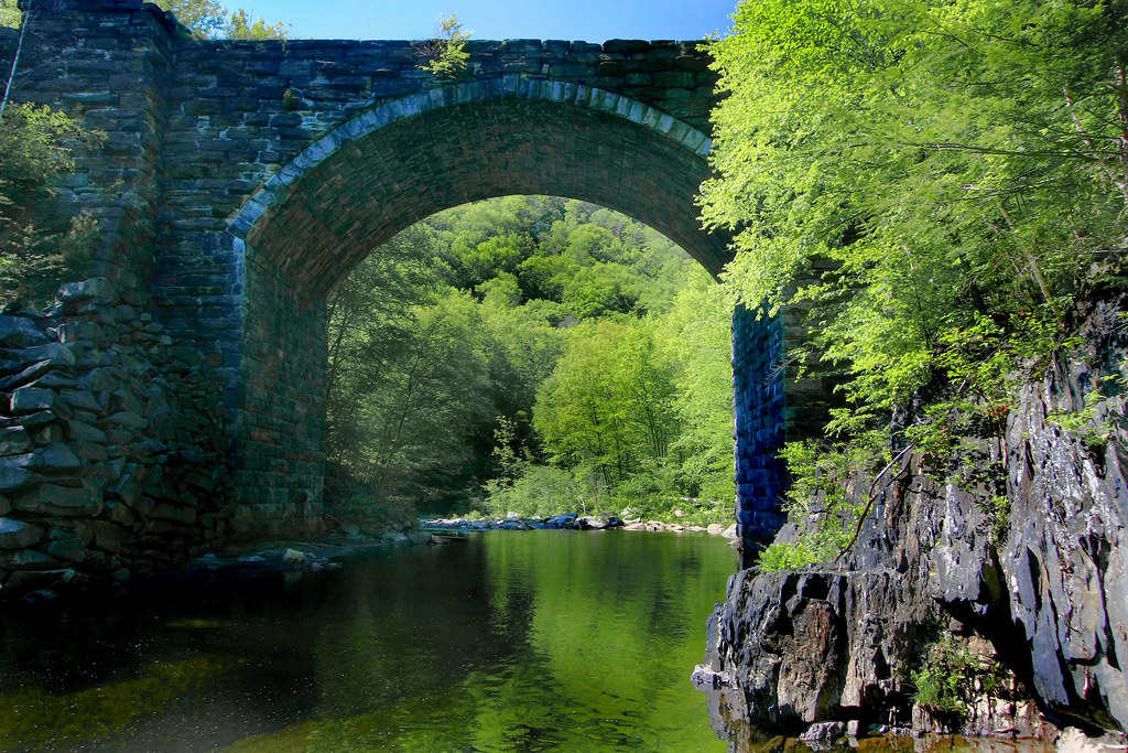
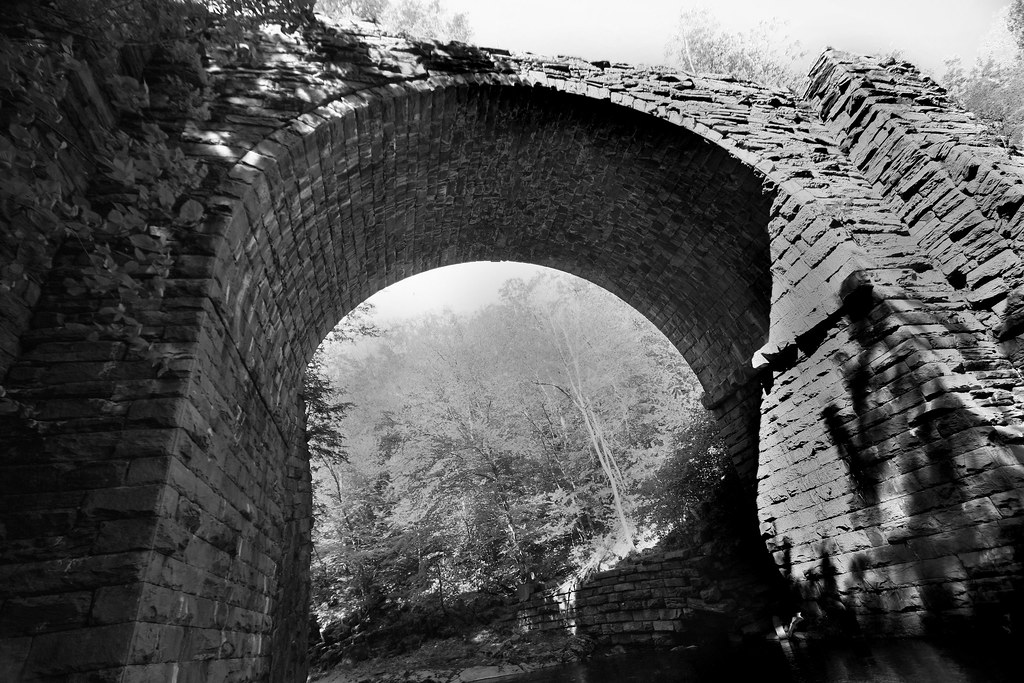
Keystone Arch Bridge
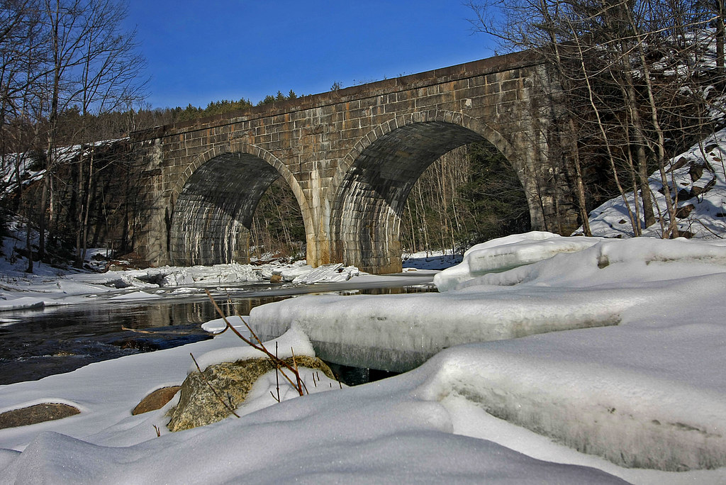
Double Arch

Chesterfield Gorge
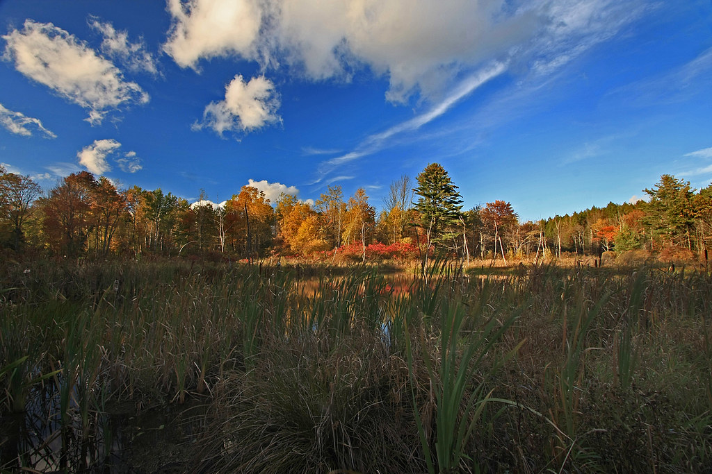
Beyond the Rushes
Chocolate Milk, Anyone?
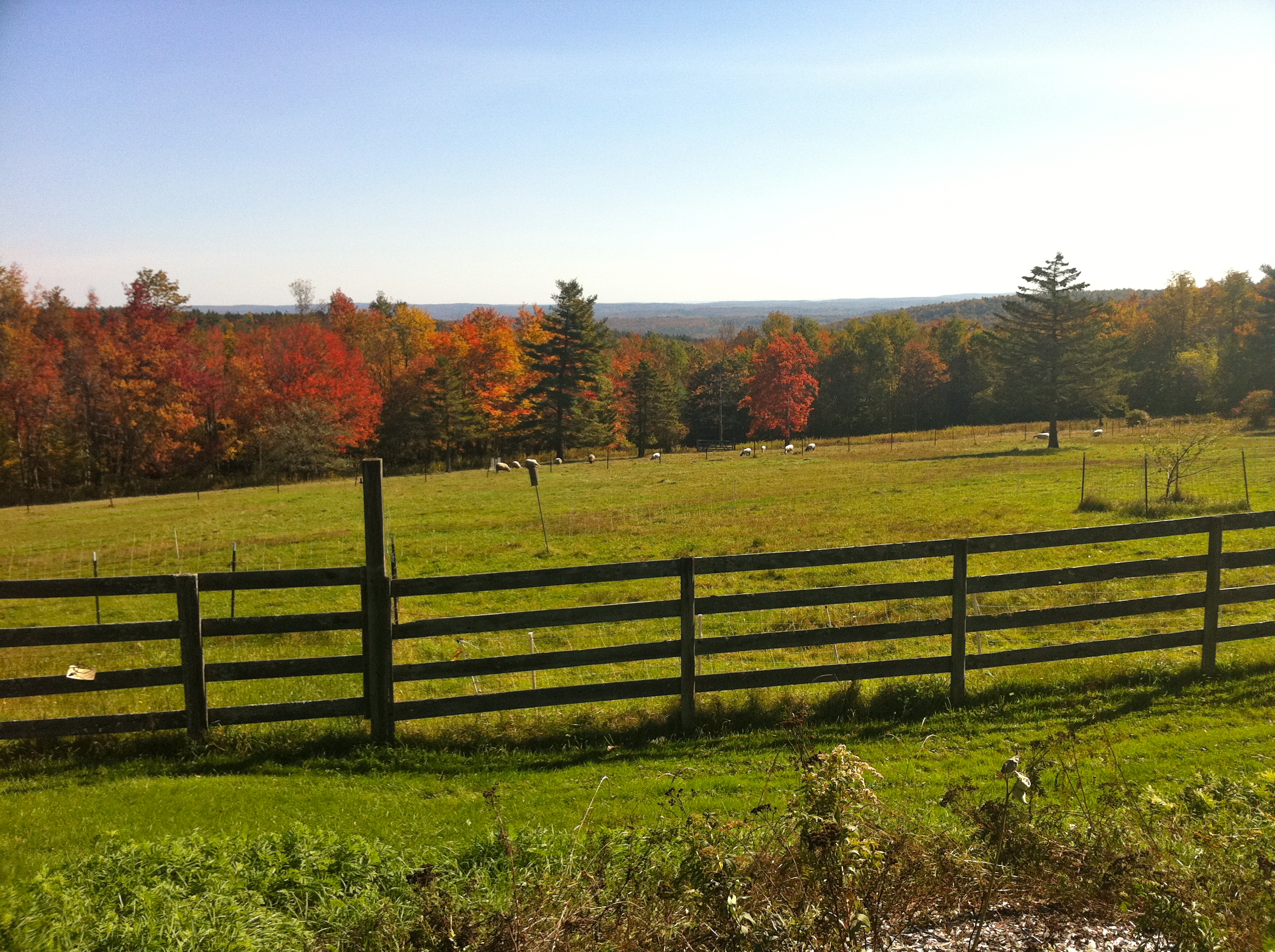
Foliage point on Great River Ride (this time with sheep!)
Clark Hill in Worthington, Massachusetts
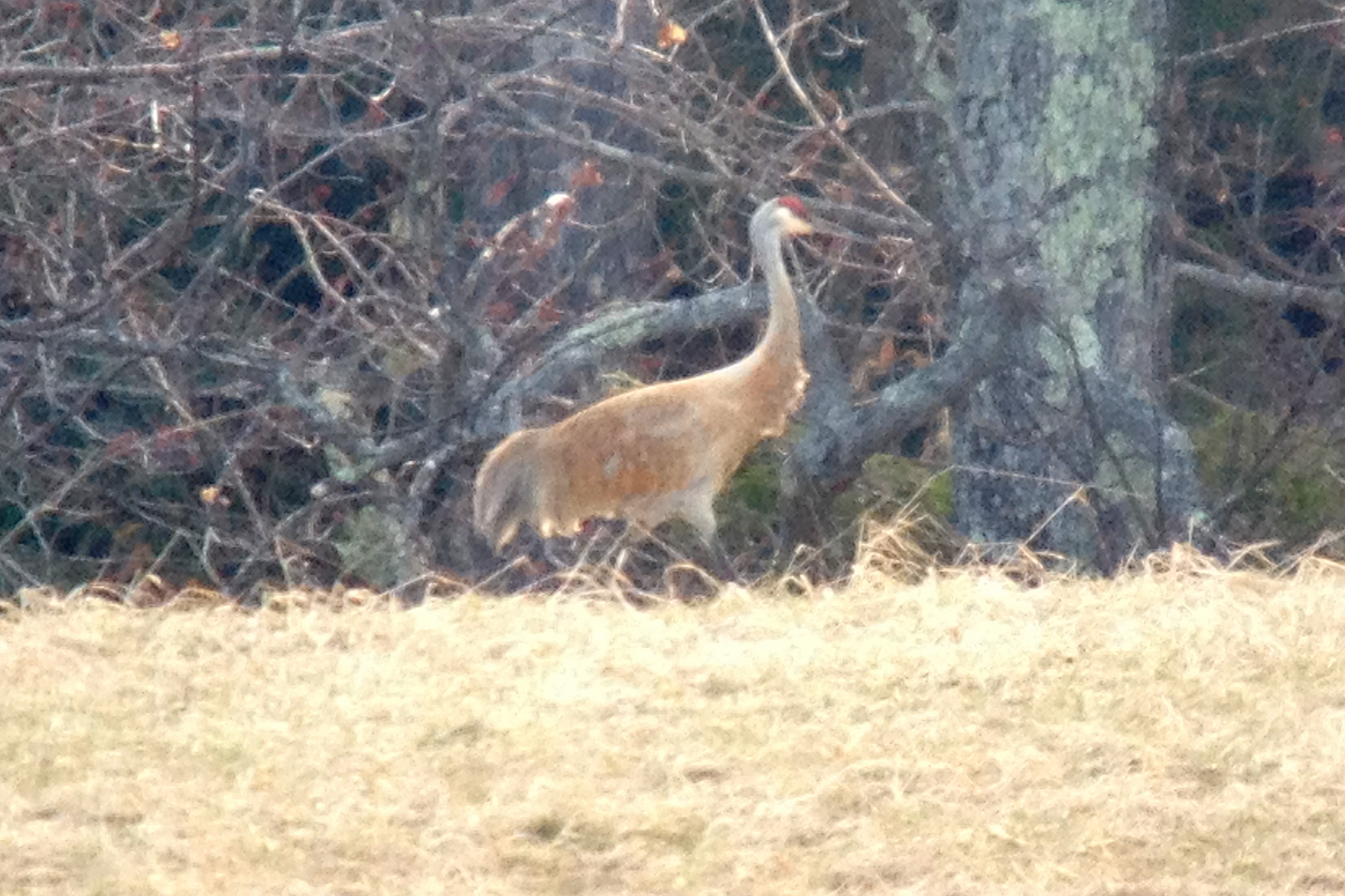
Sandhill Crane
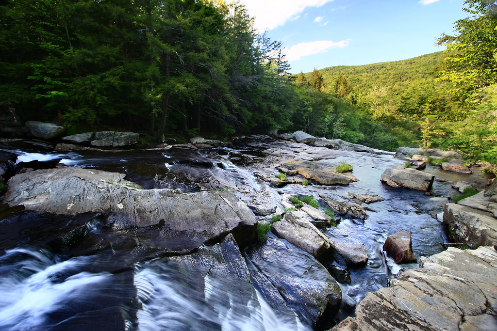
Top of the Falls
Elevated View

Sandhill Crane
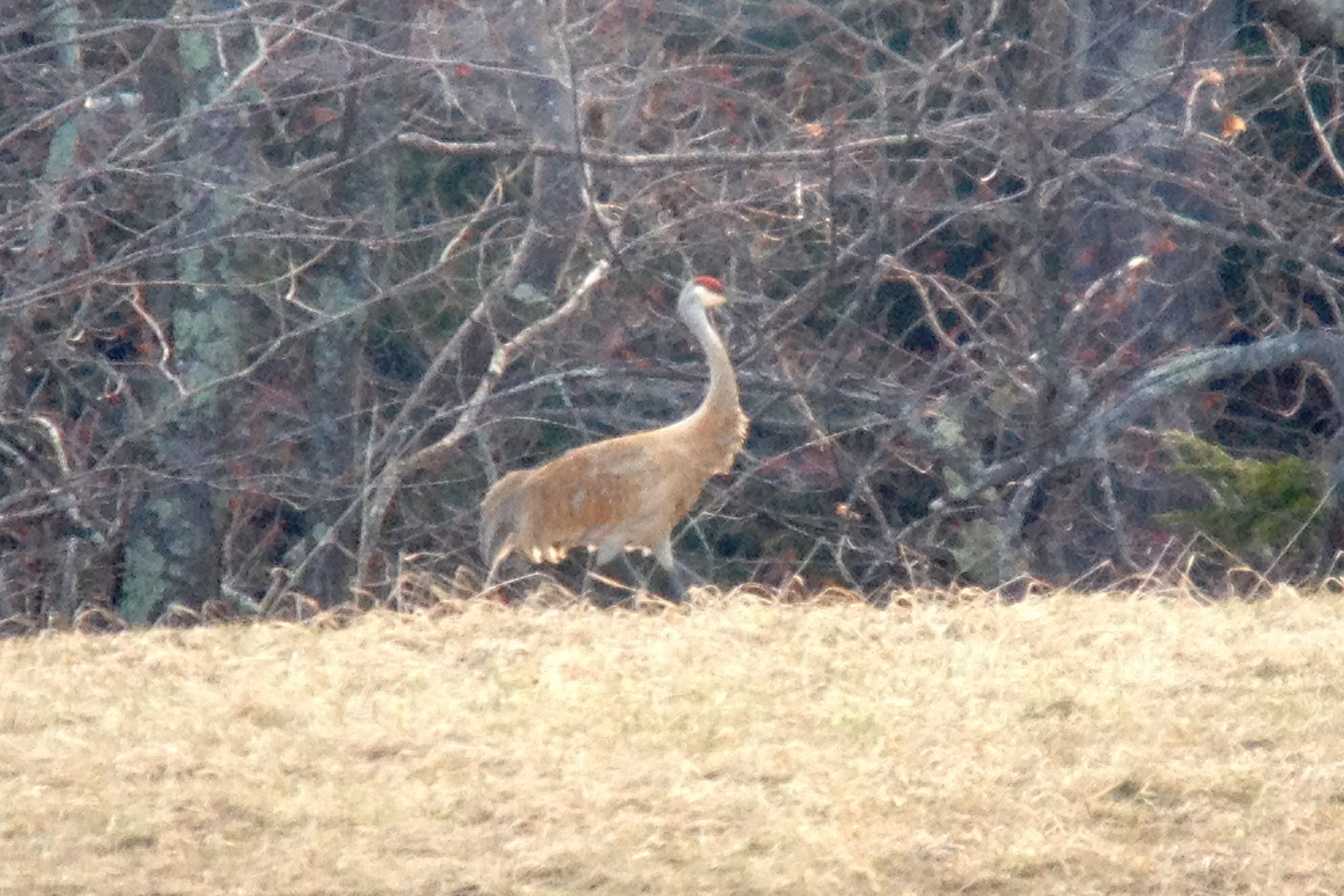
Sandhill Crane

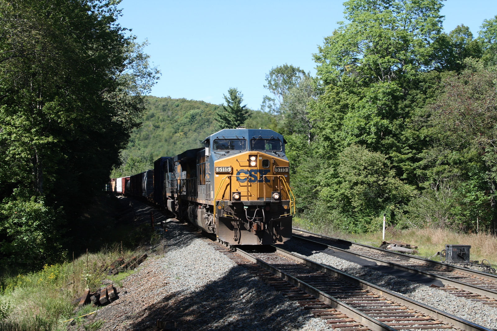
Westfield River - West Branch
Of Shadows and Stone
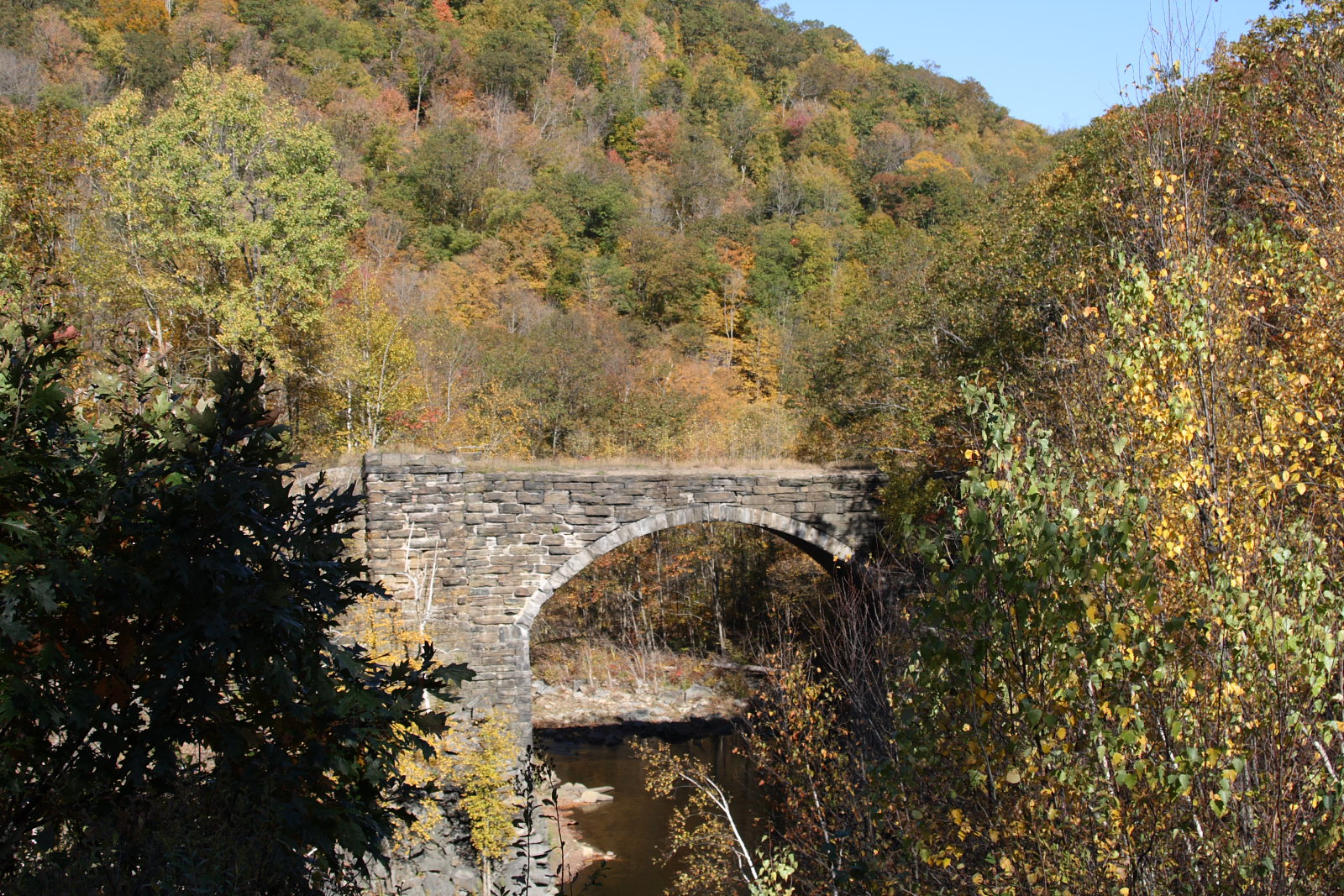
Keystone Arch
Waiting for the Fairies

EOS 40D_2650

EOS 40D_2638

EOS 40D_2657

EOS 40D_2641

EOS 40D_2527
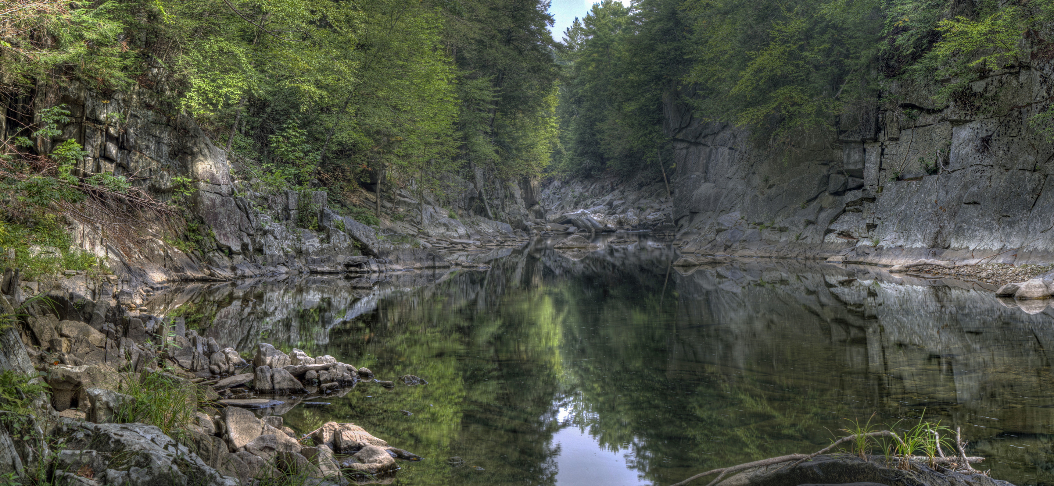
Chesterfield Gorge

Glendale Falls
Climb toward the Sun
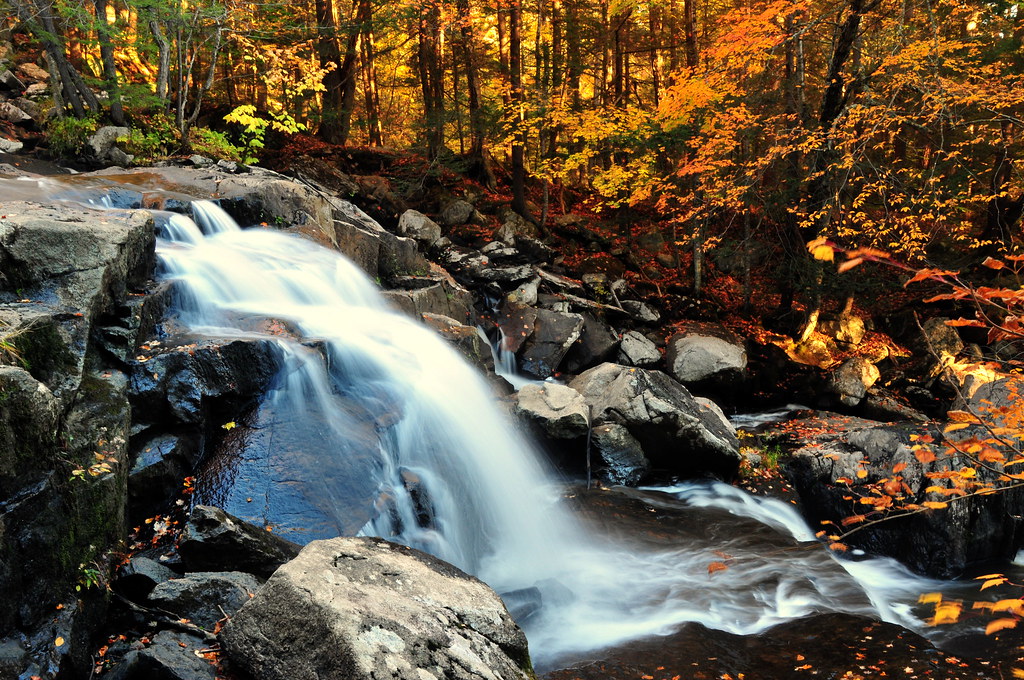
Glendale Falls 2

Goldmine Brook Falls - Chester, MA

Goldmine Brook Falls - Chester, MA

Goldmine Brook Falls - Chester, MA

Goldmine Brook Falls - Chester, MA

Sanderson Brook Falls - Chester, MA

Sanderson Brook Falls - Chester, MA

Goldmine Brook Falls - Chester, MA

Sanderson Brook Falls - Chester, MA
Topographic Map of 64 Harvey Rd, Worthington, MA, USA
Find elevation by address:

Places near 64 Harvey Rd, Worthington, MA, USA:
Worthington
199 Huntington Rd
335 Old Post Rd
66 Starkweather Hill Rd
40 Old Post Rd
11 Old Post Rd
448 Huntington Rd
109 Sam Hill Rd
493 West St
493 West St
Starkweather Hill Road
196 Sam Hill Rd
111 Old North Rd
159 Buffington Hill Rd
288 Ridge Rd
Listons Bar & Grill
2 Cudworth Rd
61 E River Rd
132 Ireland St
Old North Rd, Worthington, MA, USA
Recent Searches:
- Elevation of Bernina Dr, Lake Arrowhead, CA, USA
- Elevation of N 82nd Pl, Mesa, AZ, USA
- Elevation of Snake Hill Rd, North Scituate, RI, USA
- Elevation of Lake Shore Dr, Warwick, RI, USA
- Elevation of E Brightview Ave, Pittsburgh, PA, USA
- Elevation of Cavendish Rd, Harringay Ladder, London N4 1RR, UK
- Elevation of 1 Zion Park Blvd, Springdale, UT, USA
- Elevation of Ganderbal
- Elevation map of Konkan Division, Maharashtra, India
- Elevation of Netaji Nagar, Hallow Pul, Kurla, Mumbai, Maharashtra, India