Elevation of 61 Chief George Meadow, Lewiston, CA, USA
Location: United States > California > Trinity County > Lewiston >
Longitude: -122.83478
Latitude: 40.7104444
Elevation: 547m / 1795feet
Barometric Pressure: 95KPa
Elevation Map:
Satellite Map:
Related Photos:

Lewiston, California [03.31.13]
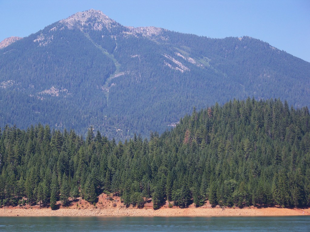
Trinity Alps

CrystalCreekFalls09-13T

CrystalCreekFalls09-5T

Julie-Blue-Louise

Shasta Dam

CrystalCreekFalls09-3T

Upside Down

Master Bedroom View

Lewiston Lake

Crystal Creek in Whiskeytown

Glaring Omission - Crystal Creek Falls

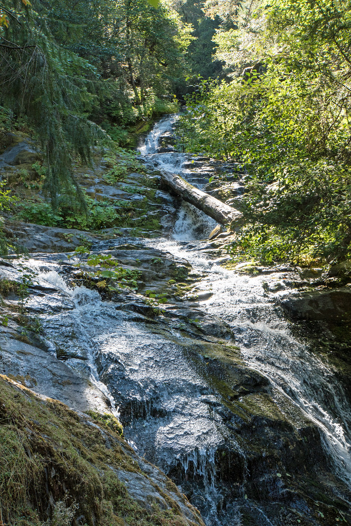
Crystal Creek Falls

Infinite Clarity

My Public Lands Roadtrip: Trinity Wild and Scenic River in California

Lumber Mill

Trinity Lake

Cali Highway 299 Panorama [03.31.13]

Log in Whiskeytown Falls
Upper Sections of Whiskeytown Falls

The Swing of Things (Upper Crystal Creek Falls)

Upper Crystal Creek Falls (Going Under)

Upper Crystal Creek Falls

Trip to Nowhere (Deadwood Falls)

Still Falling

Pair-o-dice - Crystal Creek

Upper Crystal Creek Falls (Straight Up)

Lower Crystal Creek Falls
Topographic Map of 61 Chief George Meadow, Lewiston, CA, USA
Find elevation by address:

Places near 61 Chief George Meadow, Lewiston, CA, USA:
2240 Goose Ranch Rd
2240 Goose Ranch Rd
25 Rebel Rd
7601 Rush Creek Rd
11 Salmon Dr, Lewiston, CA, USA
Lewiston
Ponderosa Pines
Jessup Gulch Road
Jessup Gulch Road
Jessup Gulch Road
Jessup Gulch Road
860 Top Of The Grade
860 Top Of The Grade
Lakeview Terrace Resort, Rv Park & Campground
173 Thistle Ln
251 Wilson Mountain Rd
Weaverville
1315 Tucker Hill Rd
Douglas City
Steiner Flat Rd, Douglas City, CA, USA
Recent Searches:
- Elevation of Groblershoop, South Africa
- Elevation of Power Generation Enterprises | Industrial Diesel Generators, Oak Ave, Canyon Country, CA, USA
- Elevation of Chesaw Rd, Oroville, WA, USA
- Elevation of N, Mt Pleasant, UT, USA
- Elevation of 6 Rue Jules Ferry, Beausoleil, France
- Elevation of Sattva Horizon, 4JC6+G9P, Vinayak Nagar, Kattigenahalli, Bengaluru, Karnataka, India
- Elevation of Great Brook Sports, Gold Star Hwy, Groton, CT, USA
- Elevation of 10 Mountain Laurels Dr, Nashua, NH, USA
- Elevation of 16 Gilboa Ln, Nashua, NH, USA
- Elevation of Laurel Rd, Townsend, TN, USA