Elevation of 60 College Ave, Buckhannon, WV, USA
Location: United States > West Virginia > Upshur County > First > Buckhannon >
Longitude: -80.220886
Latitude: 38.9906519
Elevation: 437m / 1434feet
Barometric Pressure: 96KPa
Elevation Map:
Satellite Map:
Related Photos:

069 Panoramic view from Post...looking WNW to NE

Red barn -- Upsher County, West Virginia (#2)

Red barn -- Upsher County, West Virginia (#1)

And a Happy Fence Friday to All

Greens of Autumn

Audra State Park

Nature series

Nature series

023 Fern Area looking West

Nature series

Nature series

085 Eastern Boundary Looking SSE

Nature series

052 Trespassing Old Coal Road looking down at Hillside Property Line

Img1984 06-Dec-08

Landscape Enlargements

Img0025 26-May-10
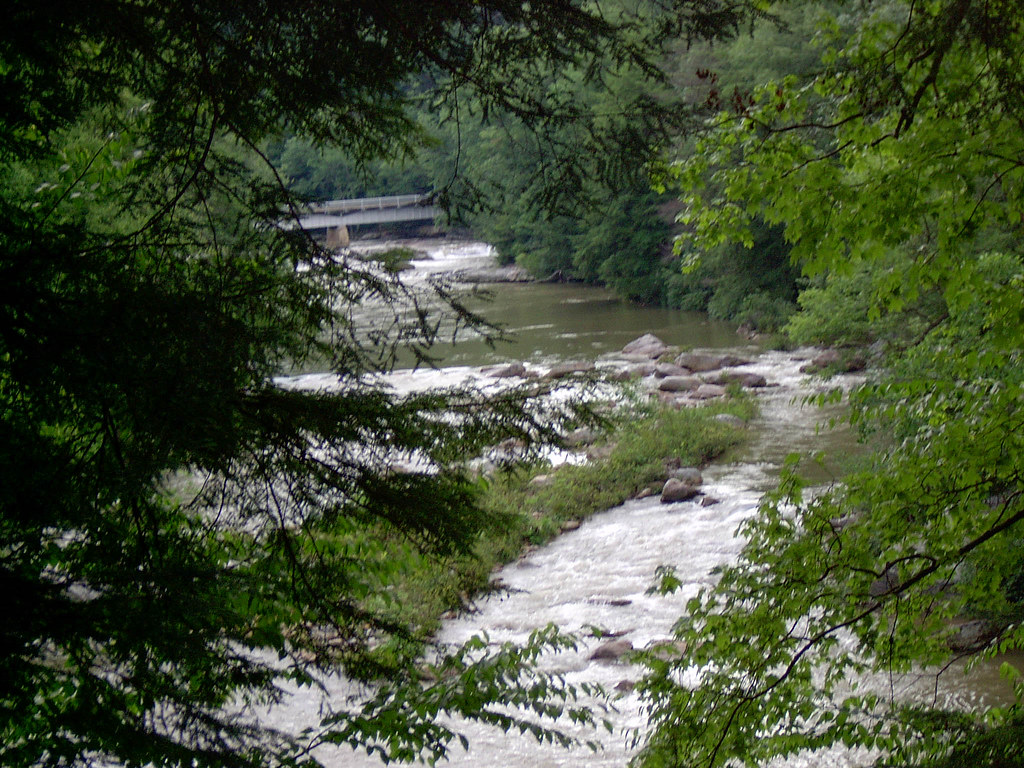
Middle Fork River Image 3 7-14-2004 Photo

Middle Fork River Image 7 7-14-2004 Photo

088 Near Eastern Boundary looking SSE

073 Property Corner Marker 1 of 2 looking South about 60 feet from Georgetown Road
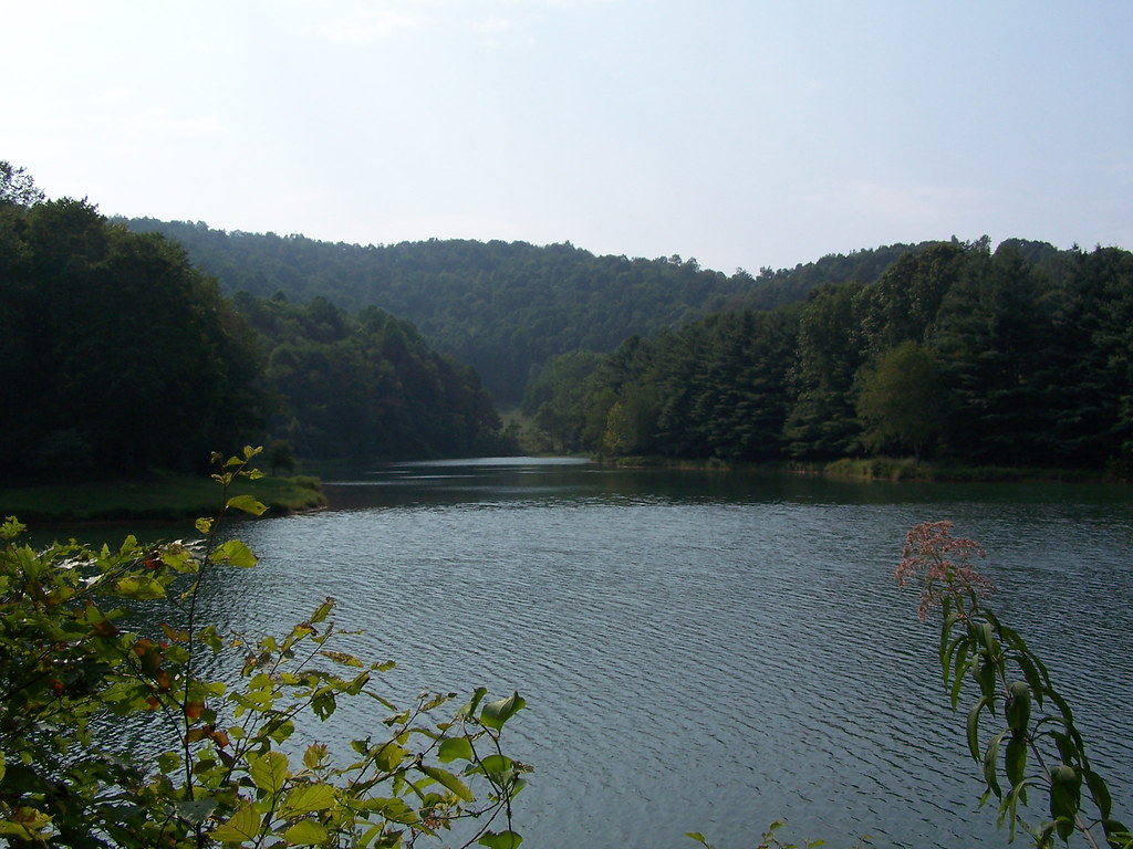
Stonecoal Lake

Middle Fork River Image 14 7-14-2004 Photo

043 Hillside Property Line looking ENE out of ROWcut
Topographic Map of 60 College Ave, Buckhannon, WV, USA
Find elevation by address:

Places near 60 College Ave, Buckhannon, WV, USA:
60 College Ave
Buckhannon
Buckhannon
Buckhannon
Buckhannon
Buckhannon
434 Stony Run Rd
Buckhannon, WV, USA
Old Elkins Rd, Buckhannon, WV, USA
First
First
First
Brushy Fork Rd, Buckhannon, WV, USA
2557 Brushy Fork Rd
4994 Tallmansville Rd
332 Apple Gate Ln
Second
Tallmansville
176 Old Chimney Rd
Gould Rd, French Creek, WV, USA
Recent Searches:
- Elevation of Unnamed Road, Respublika Severnaya Osetiya — Alaniya, Russia
- Elevation of Verkhny Fiagdon, North Ossetia–Alania Republic, Russia
- Elevation of F. Viola Hiway, San Rafael, Bulacan, Philippines
- Elevation of Herbage Dr, Gulfport, MS, USA
- Elevation of Lilac Cir, Haldimand, ON N3W 2G9, Canada
- Elevation of Harrod Branch Road, Harrod Branch Rd, Kentucky, USA
- Elevation of Wyndham Grand Barbados Sam Lords Castle All Inclusive Resort, End of Belair Road, Long Bay, Bridgetown Barbados
- Elevation of Iga Trl, Maggie Valley, NC, USA
- Elevation of N Co Rd 31D, Loveland, CO, USA
- Elevation of Lindever Ln, Palmetto, FL, USA