Elevation of 5th Ave, Hartland, MN, USA
Location: United States > Minnesota > Freeborn County > Freeborn >
Longitude: -93.564452
Latitude: 43.7661764
Elevation: 377m / 1237feet
Barometric Pressure: 97KPa
Elevation Map:
Satellite Map:
Related Photos:

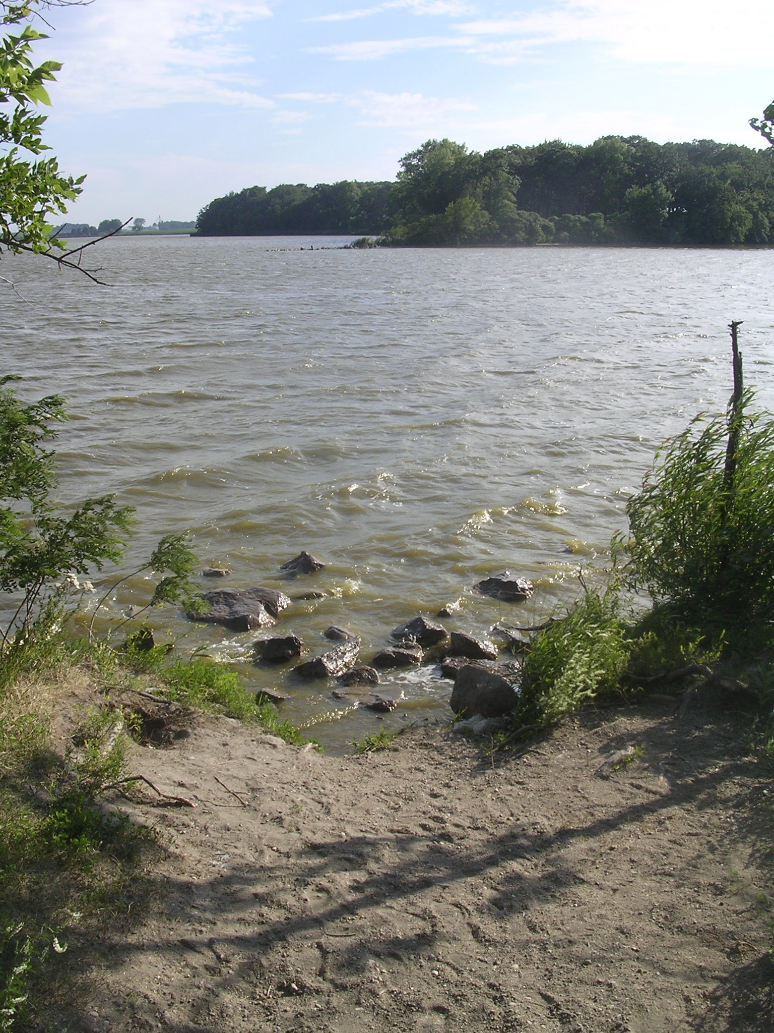
Freeborn Lake
Arrowhead Point

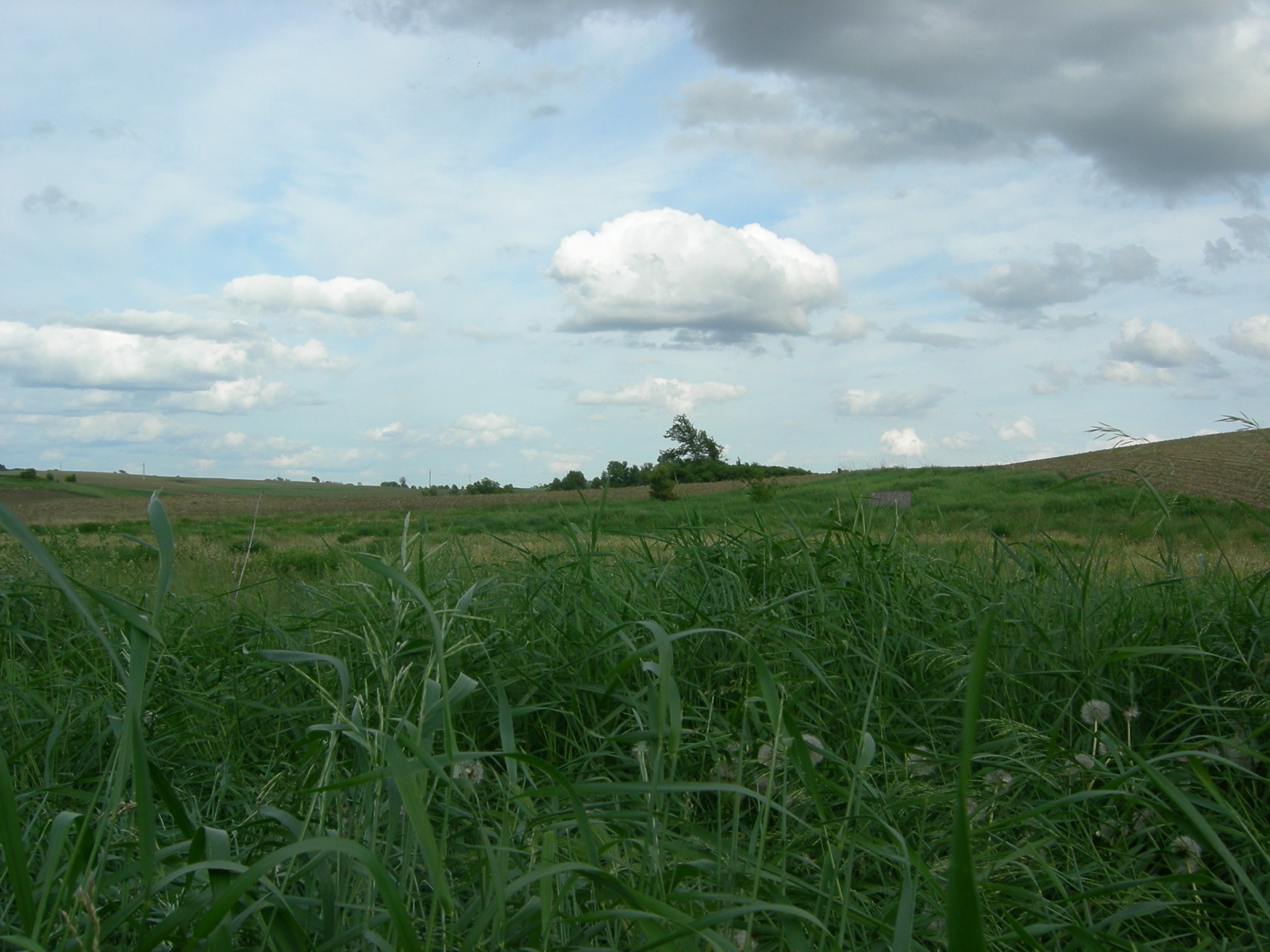
Tallgrass Prairie

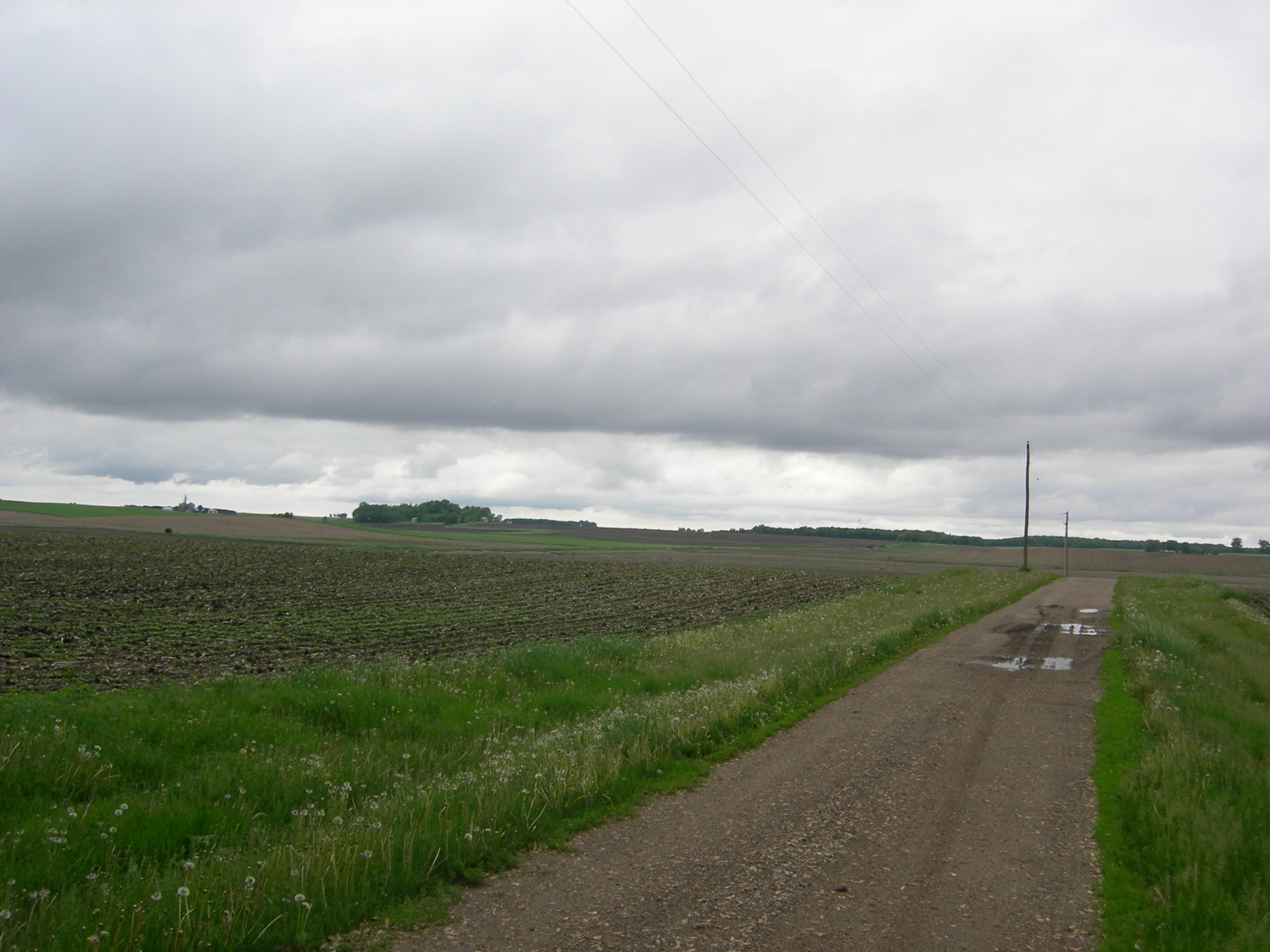
The Parkway

IMAG0296.jpg
Albert Lea, Minnesota --- June 2008

Albert Lea, Minnesota --- June 2008
Albert Lea, Minnesota --- June 2008

Albert Lea, Minnesota --- June 2008

IMG_9069.jpg
Topographic Map of 5th Ave, Hartland, MN, USA
Find elevation by address:

Places near 5th Ave, Hartland, MN, USA:
Freeborn
Alden
S Broadway Ave, Alden, MN, USA
th Ave, Albert Lea, MN, USA
Wells
268 1st Ave Sw
th Ave, Hartland, MN, USA
Bath Township
Main St, Waldorf, MN, USA
Waldorf
Waseca County
117 N Newton Ave
Albert Lea
1325 Se Broadway Ave
17279 740th Ave
606 E 4th St
53032 220th St
Freeborn County
Stevens Street
8801 Sw 88th St
Recent Searches:
- Elevation of Corso Fratelli Cairoli, 35, Macerata MC, Italy
- Elevation of Tallevast Rd, Sarasota, FL, USA
- Elevation of 4th St E, Sonoma, CA, USA
- Elevation of Black Hollow Rd, Pennsdale, PA, USA
- Elevation of Oakland Ave, Williamsport, PA, USA
- Elevation of Pedrógão Grande, Portugal
- Elevation of Klee Dr, Martinsburg, WV, USA
- Elevation of Via Roma, Pieranica CR, Italy
- Elevation of Tavkvetili Mountain, Georgia
- Elevation of Hartfords Bluff Cir, Mt Pleasant, SC, USA