Elevation of 5 Sandhill Rd, St Marys, GA, USA
Location: United States > Georgia > Camden County > Saint Marys >
Longitude: -81.590592
Latitude: 30.7549713
Elevation: -10000m / -32808feet
Barometric Pressure: 295KPa
Elevation Map:
Satellite Map:
Related Photos:

step into the light

Fort Clinch, Fernandina Beach

View of Interior, Fort Clinch

View of ramparts and parade ground, Fort Clinch

cat's meow campsite

Barracks, Fort Clinch, Florida

Moat, Fort Clinch

View of Porches, St. Michael's Academy

Amelia Island

View From Room 303

Back View, St. Michael's Academy, Fernandina Beach

ocean view from the fort

the last to know

Grave at Sunset

A majestic view

View entering the Parade Grounds
River View Hotel

DON'T FORGET THE SOUVENIRS

Soldiers quarters

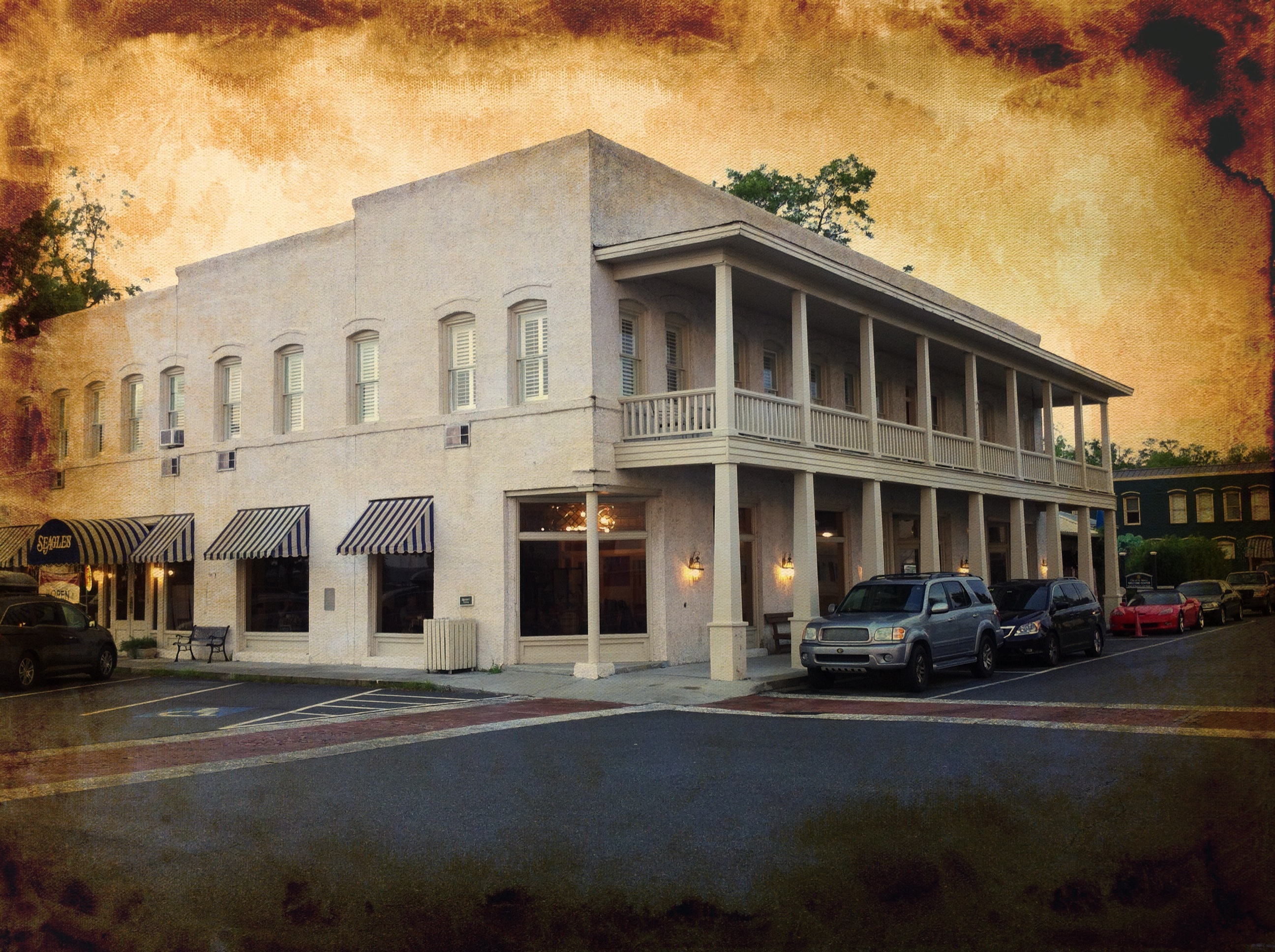
St. Marys, Georgia
Cumberland Sound View From Fort Clinch

Think of...

Same river different light

Downtown Fernandina Beach at Twilight

Twilight over Fernandina Beach Marina

Last northbound run across the Marshes

Fernandina Beach Skyline, Amelia Island, Florida

A Good Sunday

SOFT AND EASY

And then it started to rain.

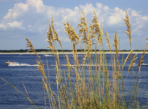
BEACH GRASS IN BLACK AND WHITE

Fernandina Beach Shrimp Boats, Amelia Island, Florida

Looking down the dock...

Sea Lettuce

Road to Dungeness, Cumberland Island, Georgia

IMG_0419.jpg

Sunset @ Amelia Island

Rooted in history

A few forest scenes.

Like a Dream

Port of Fernandina
Topographic Map of 5 Sandhill Rd, St Marys, GA, USA
Find elevation by address:

Places near 5 Sandhill Rd, St Marys, GA, USA:
102 Grouper Way
103 Longwood Rd
113 New Hammock Cir
229 Cedar Hill Dr
Salt Grass Trace, St Marys, GA, USA
1818 Shadowlawn Dr
155 Millers Branch Dr
Millers Branch Drive
394 Millers Branch Dr
302 The Strand
1750 Isles Of Saint Marys Way
Us Post Office
2711 Isles Of Saint Marys Way
2630 Isles Of Saint Marys Way
St. Marys Middle School
Crooked River State Park
819 S Julia St
815 S Julia St
819 S Julia St
809 S Julia St
Recent Searches:
- Elevation of Zimmer Trail, Pennsylvania, USA
- Elevation of 87 Kilmartin Ave, Bristol, CT, USA
- Elevation of Honghe National Nature Reserve, QP95+PJP, Tongjiang, Heilongjiang, Jiamusi, Heilongjiang, China
- Elevation of Hercules Dr, Colorado Springs, CO, USA
- Elevation of Szlak pieszy czarny, Poland
- Elevation of Griffing Blvd, Biscayne Park, FL, USA
- Elevation of Kreuzburger Weg 13, Düsseldorf, Germany
- Elevation of Gateway Blvd SE, Canton, OH, USA
- Elevation of East W.T. Harris Boulevard, E W.T. Harris Blvd, Charlotte, NC, USA
- Elevation of West Sugar Creek, Charlotte, NC, USA