Elevation of 57th Ave S, Tukwila, WA, USA

Location: United States > Washington > King County > Tukwila >

Longitude: -122.26293

Latitude: 47.4685878

Elevation: 73m / 240feet

Barometric Pressure: 100KPa

Elevation Map:

elevation map of 57th Ave S, Tukwila, WA, USA

Satellite Map:

Satellite map of 57th Ave S, Tukwila, WA, USA

Related Photos:

seattle longexposure usa skyline night america lights us washington nikon downtown skyscrapers i5 slowshutter pacificnorthwest pugetsound nightview bluehour 夜景 i90 beaconhill downtownseattle アメリカ rizalpark シアトル 高層ビル ニコン ワシントン州 d3300
Rizal Park, Seattle
hbm bench trees autumn water pugetsound lincolnpark
A Bench with a View
seattle washington unitedstatesofamerica lindtnerbéla belalindtner nikon d7100 nikond7100 nikkor 1020mm nikkor1020mm nikon1020mm uwa usa skyscraper smithtower viewpoint sky bluesky clouds cloud outdoor outside buildings building architecture towers city downtown
Seattle skyscrapers - Downtown view from the Smith Tower
lincolnpark hbm benches autumn trees pugetsound
Peaceful Benches
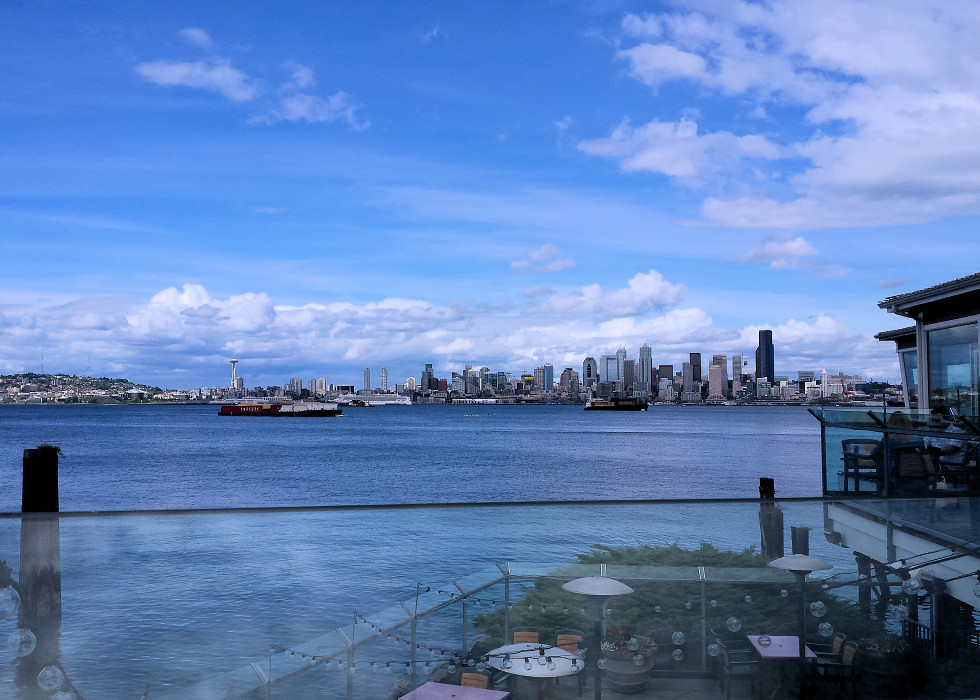
A View of Downtown Seattle
road seattle new railroad light holiday motion blur industry night port train tia island harbor washington industrial traffic fireworks queenanne year hill tracks trails railway landmark icon cargo warehouse celebration event transportation pacificnorthwest spaceneedle pugetsound freight antenna entry firecrackers tosin pyrotechnics 2016 arasi midgnight visipix ©tiainternationalphotography
Seattle Welcomes the Year 2016
whatliesbeneath seattle washington washingtonstate city cityscape street bridge lines geometry vertical richborder sonya7 zeiss bike tent homeless fakehdr
What Lies Beneath
Interactive Re-Entry Porthole
morning canon pines dew 50d canon50d
Dew (Explored)
Rippled Lanai # 3
Adrift in a Strange Coastal City
view bus seattle wa us street 4th avenue international district open square sand point vehicles pedestrians
peering over the bus driver's head
planes wings flying clouds iphone instagram squared
In Plane View
hdr highdynamicrange ilce6000 lightroom mirrorless nabob nabobswims photomatix sel18105g seattle sonya6000 us unitedstates wa washington
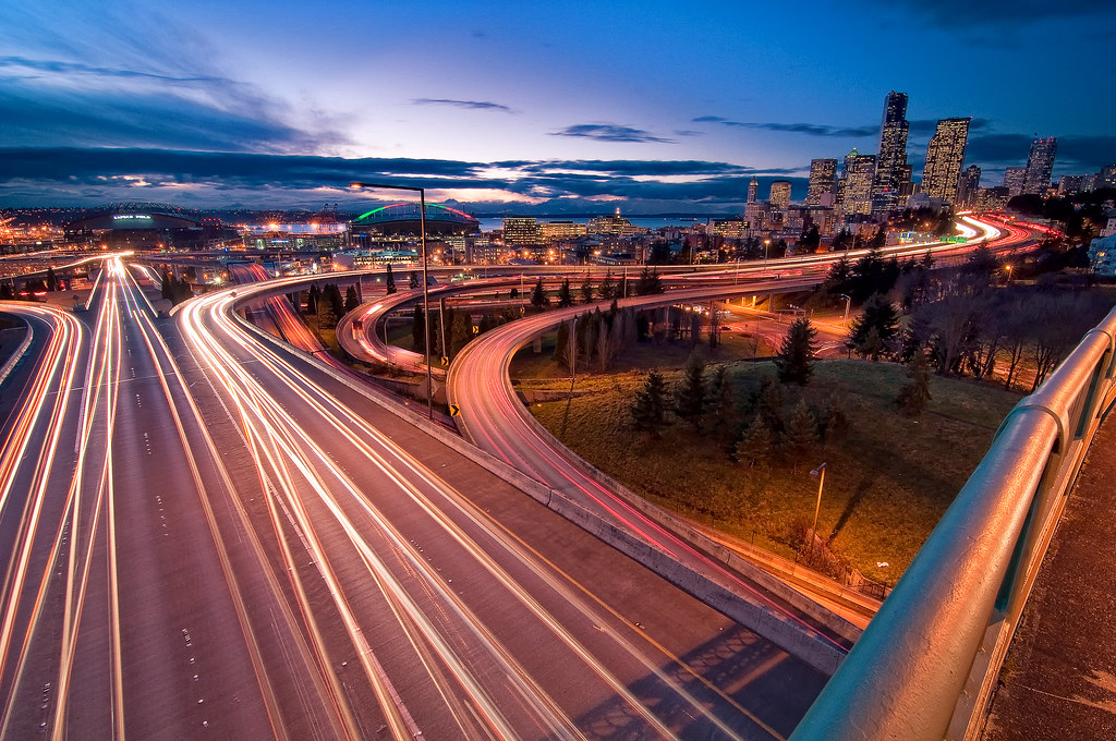
Seattle, WA: Downtown viewed from Dr José Rizal Park at the 12th Avenue bridge overlooking Interstate 5
jump agility odc hurdle seattlekennelclubdogshow
Look! I Can Fly!
washington pacific northwest summer summertime sunset season dusk city cityscape downtown skyline elliott bay harbor harbour port urban landscape skyscraper building columbia center tourism travel highway route venue waterfront puget sound sky aerial view vista tosin arasi tia seattle ©tiainternationalphotography interstate interstate5 madison street motorway expressway municipal tower skyscrapers buildings transportation wsdot rooftops marina hall evening flight flying metropolis cbd central business district commercial financial vertical vertigo
Take Me Higher and Higher...
skyline cityscape view vista skyscraper tower motorway highway freeway interstate5 i5 traffic clouds movement motion blur lighttrails northbeaconhill seattle kingcounty washington wa usa unitedstates nikon d7100 nikond7100
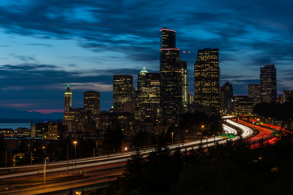
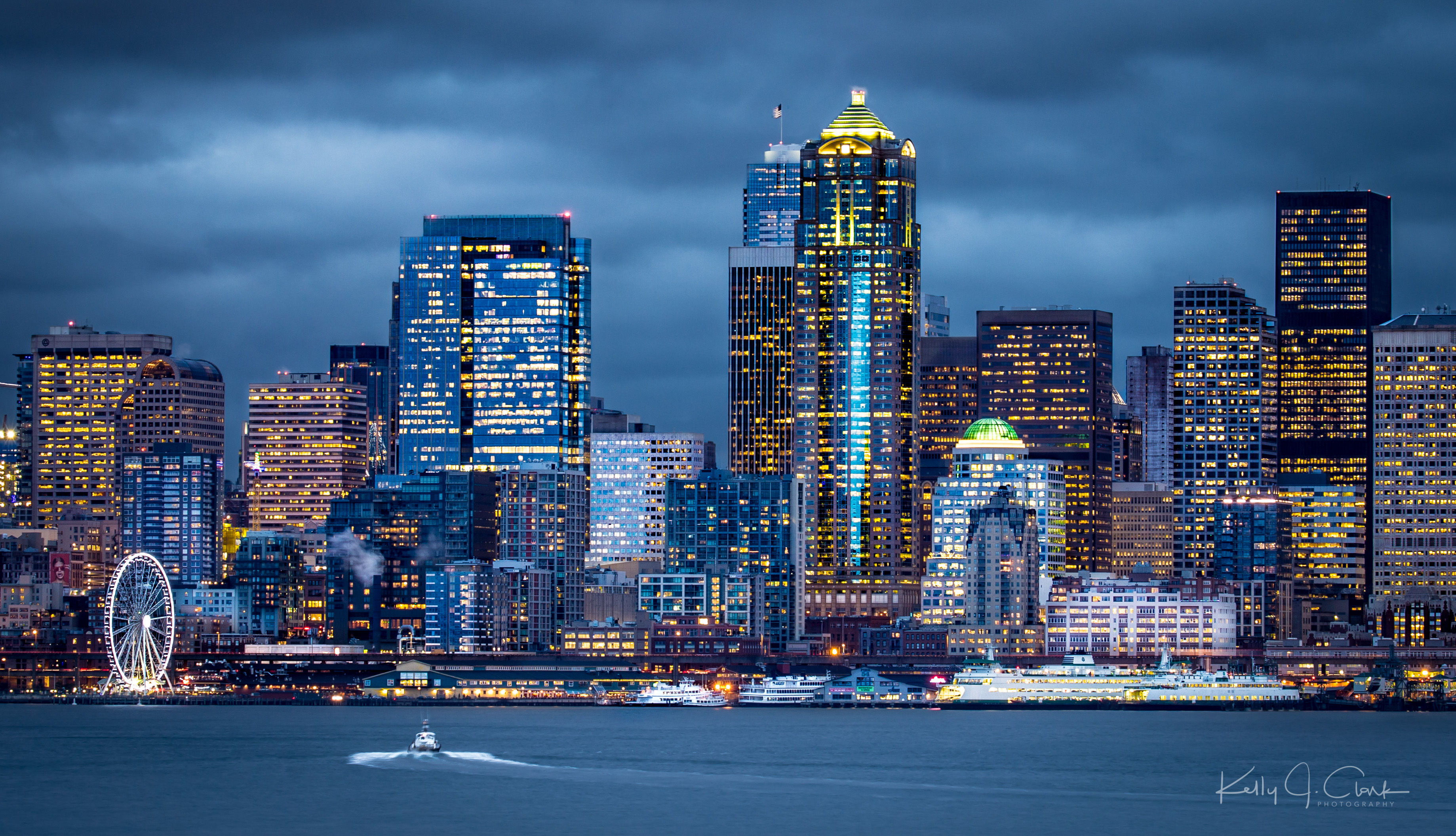
Seattle | Downtown Blue Hour
seattle city bridge light skyline buildings river washington highway downtown cityscape stadium trails freeway streams i90 joserizalbridge 12thavebridge
Floating on a river of light
Windows Through the Years
seattle park city longexposure bridge blue trees roof sunset urban orange house mountain mountains west reflection green rooftop home water car yellow skyline night landscape lights golden evening bay coast washington downtown peace realestate pacific northwest metro suburban dusk garage centre border lawn property peaceful center neighborhood foliage hour transportation sound area lakewashington vehicle suburb mercerisland olympic residence eastside region range i90 bellevue metropolitan puget kingcounty pandemonium vicinity interstate90 isthmus surburbia tosinarasi ©tiainternationalphotography
My Peace in the Pandemonium
seattle city sky topv111 clouds washington northwest bestviewedlarge spaceneedle emerald helluva archive006
The Sky Over The Emerald City
washington canondslr isusm seattleparks ef100400mm canoneos6d sewardparkseattle
Rainer always Gorgeous
kubotagarden maple tree
Autumn Impatience
reflection water night shadows parks lakewashington lutherburbank seattlenight
Last night on the Lake (Explored)
seattle tacoma seatac international airport aerial shot photos planes
SEA-TAC
seattle washington mtrainier airplane takeoff squared iphone instagram topf25
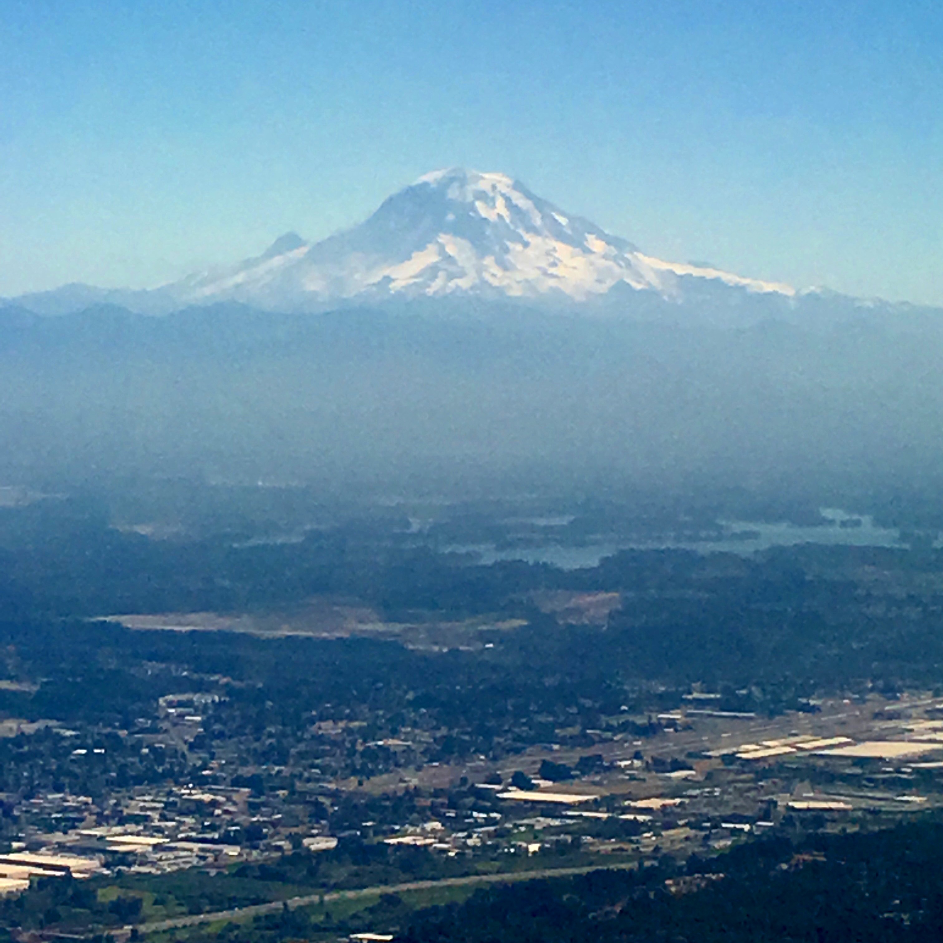
Mt Rainier during takeoff
seattle washington downtown skyline city cityscape beaconhill summer summertime sunset bluehour golden hou interstate highway longexposure urban landscape columbia center citycentre citycenter evening pacificnorthwest pugetsound lamppost lighttrails high sky emeraldcity dusk transportation speed velocity motion cruising season tia tosinarasi ©tiainternationalphotography
Cruising to the Edge of Summer in Seattle
aerialphotography hdr helicopter highdynamicrange ilce6000 lightroom mirrorless nabob nabobswims photomatix sel18105g seattle skyline skyscraper sonya6000 us unitedstates wa washington
Seattle, WA: Downtown skyline helicopter view
ocean sky tree beach clouds creek landscape bluesky sunrays seacoast lonelytree greatphotographers thegalaxy natureselegantshots artofimages thebestofmimamorsgroups bestcapturesaoi tripleniceshot theoriginalgoldseal elitegalleryaoi
embracing the sun...
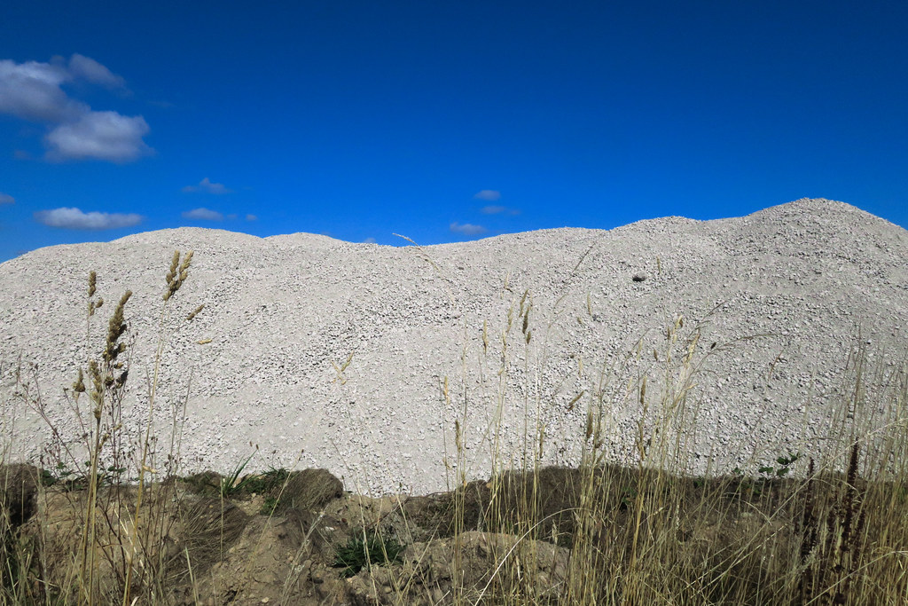
recycledaggregate mound pile constructionsite weeds grass desmoines s216thstreet washingtonstate usa 2016 blinkingcharlie canonpowershotg9x
Aggregate Mound
seattle city bridge blue trees sunset urban cloud sun west nature field car clouds contrast lens landscape golden evening nikon highway long exposure skies cross sundown pacific i5 tripod hill curves north over bridges stretch harmony flare mariners safeco roads elegant quest curve crossroads beacon 18200 depth hdr chromatic foreground between curving cloudsovercity d40x distantandclose foregroundbackgroundcontrast seattleinshadow
HDR36 - Beacon Hill
seattle washington skyline skyscraper clouds sky waterfront elliottbay jackblockpark night great wheel ships blue outdoors urbanlandscape
Blue Emerald City
seattle landscape us washington cityskyline travelphotography outdoorphotography vacationpictures aikibeach southwestseattle stevenpmoreno samsungsgh1337 stevenmorenospix2016
Seattle Skyline
phoneography pjresnick perryjresnick ©pjresnick catchycolors colors color contrast digital iphone light shadow appleiphone orange texture black yellow tree trees sky clouds apple silhouette blue cloud shadows rentonwa renton fairwood nature phonecamera washington pnw pacificnorthwest drama rectangle cloudscape rectangular resnick purple magenta pink cascadefairwood morning sunrise water reflection fog moisture outdoor landscape star serene colour pjresnickgmailcom pond 4x5 pjresnickphotographygmailcom
Seen in the Hood XV
mauryislandmarinepark tahoma mtrainier bay ocean shore beach landscape monochrome blackandwhite cloudscape naturescenes naturetherapy naturalpatterns
step right through
sunset sun twilight dusk water waterscape landscape waterscene pugetsound desmoines washington canon hills silhouettes clouds nature picmonkey
the last of the sun...
landscape monochrome blackandwhite naturescenes naturetherapy beach shore madrona driftwood pebbles stones rocks mauryislandmarinepark vashonisland
a place to still all time
my first drone aerial still
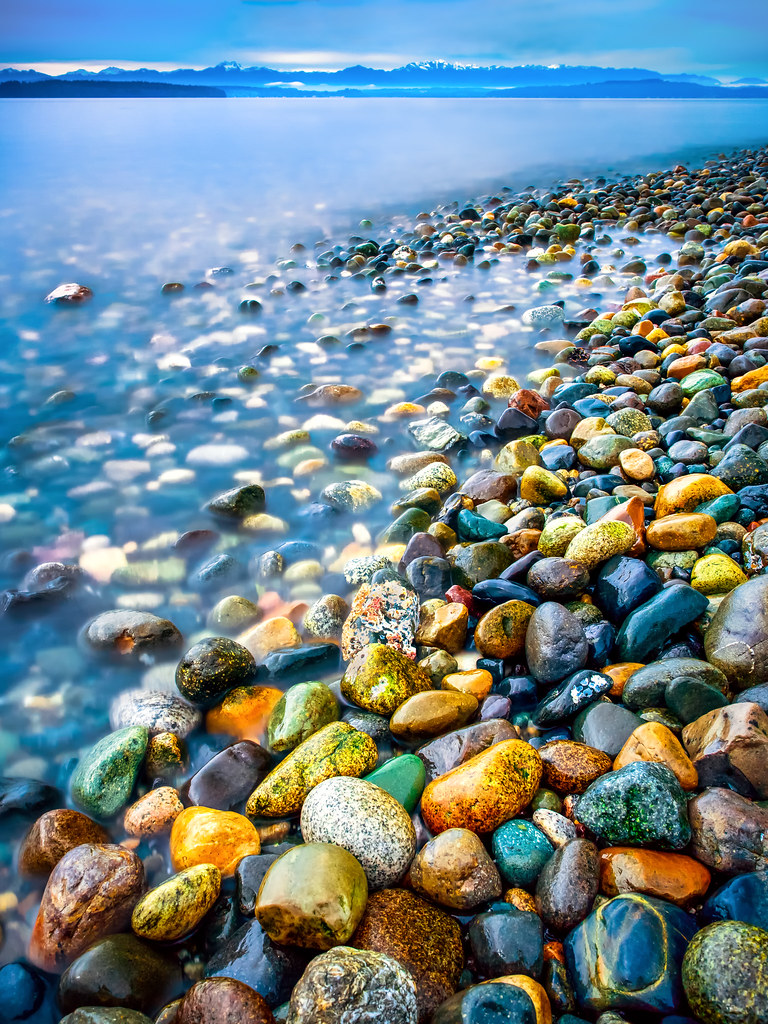
rocks stones rocky coast shore coastline shoreline west seattle puget sound washington pacific northwest olympic mountains water long exposure color colorful multicolored kwphotos kwphotoscom kyle wasielewski landscape seascape lincoln park
Rocky Shoreline
seattle park plaza urban cloud building tree tower pine skyline night skyscraper tia landscape star evening washington twilight downtown cityscape space satellite union cartoon illumination center columbia evergreen walkway series astronomy outer core municipal jetsons harborview seattleite tosinarasi orbitcity ©tiainternationalphotography
City of Seattleites