Elevation of 50 Langabeer Rd, Oakville, WA, USA

Location: United States > Washington > Grays Harbor County > Oakville >

Longitude: -123.30692

Latitude: 46.8746551

Elevation: 25m / 82feet

Barometric Pressure: 101KPa

Elevation Map:

elevation map of 50 Langabeer Rd, Oakville, WA, USA

Satellite Map:

Satellite map of 50 Langabeer Rd, Oakville, WA, USA

Related Photos:

life seattle street camera new leica old city light people usa white black look car contrast truck dark lens observation person see washington construction paint downtown noir fuji view traffic spirit pavement politics watch crowd dream documentary machine police social noflash sidewalk uptown identity vision human destination imagination civic metropolis isolation conversation moment cracks noise obscured attention curb markings threat opinion refection blacktop aware physical assessment decisive inorganic definitive streetshooter xpro1 devtank irq506
20120818.STSP.JO©.063
acme satsop pontoons pontoon floatingbridge sr520 advancedconstuctionmethodsandengineering
Satsop testing site
park plant industry monument monster architecture concrete idea construction silent power view humanity empty wide large nuclear panoramic stack business national future homer infrastructure vista unfinished layers diffusion lush visual atomic functional immense redundant 76 incomplete cooling simson satsop hydrothermal vacuous envision vacate megawatt streetshooter devtank irq506
20120818.STSP.JO©.052
november sun earthquake fault elma satsop vancecreek
Reeling in the Gold
flowers summer usa flower color art nature overgrown cemetery grass daisies rural cool weeds colorful nw mood headstone july sharon pacificnorthwest grasses washingtonstate pnw damp sentiment dandelions 2011 schnoor simplelogic graysharborcounty southbankroad mrwitsman tooheavyonthevignetteasyoucansee processedforadarkmatte
Sharon Cemetery . mr. witsman
usa washington unitedstates biking mountainbiking capitalforest greenline6
Capital Forest View Capital Forest Panoramic From Green Line #6
usa washington unitedstates biking mountainbiking capitalforest greenline6
Capital Forest View Capital Forest Panoramic From Green Line #6
usa washington unitedstates biking mountainbiking capitalforest greenline6
View From Greenline #6
wildflower wawildflowers camas camassiaquamash westernbuttercup
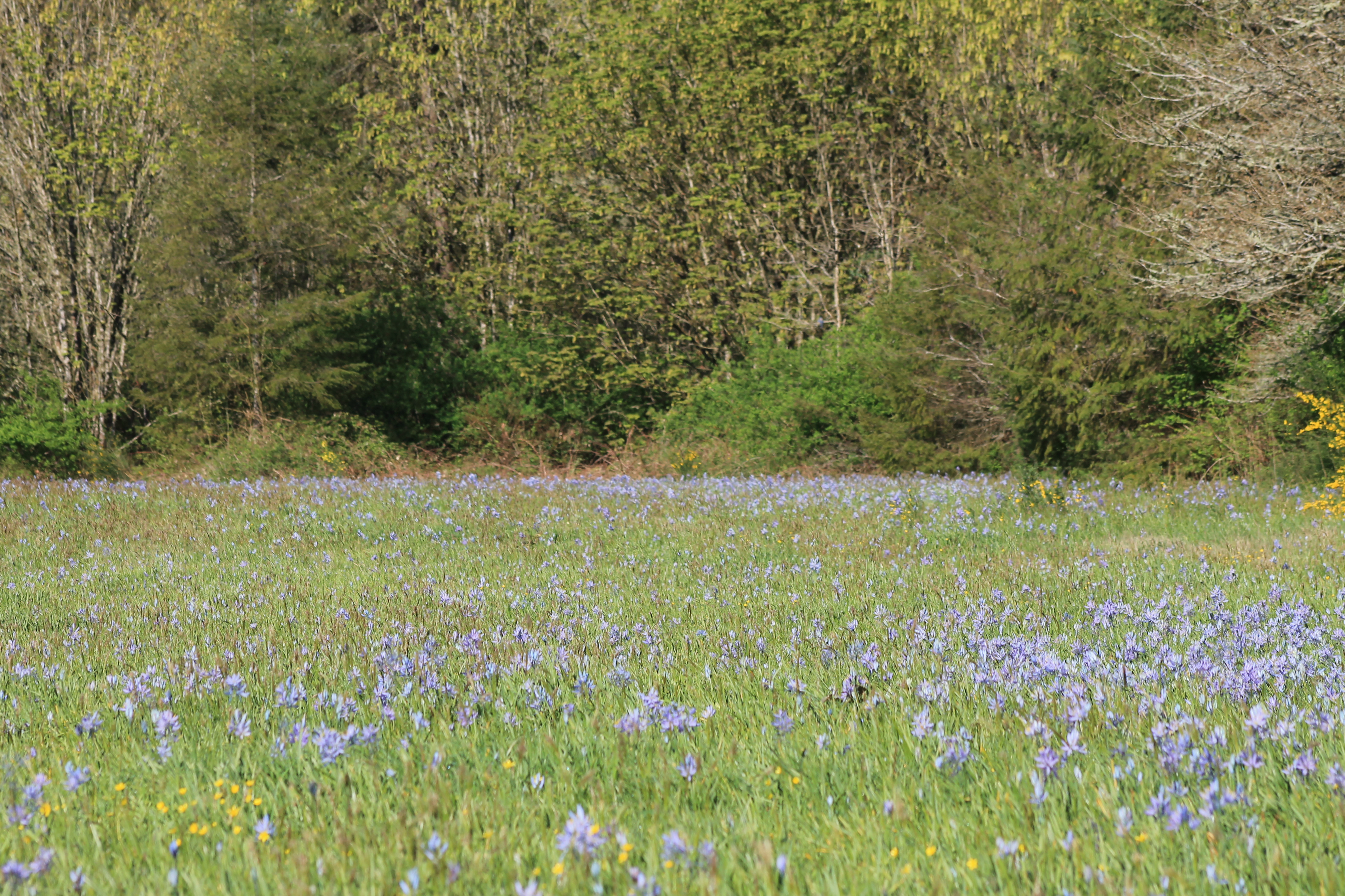
IMG_7384 Camas meadow - Oakville Wash
scrubjay westernscrubjay aphelocomacalifornica birdsofwashington washingtonbirds
IMG_7392. Western Scrub-jays - Aphelocoma californica
yellowrumpedwarbler dendroicacoronata myrtlewarbler dendroicacoronatacoronata birdsofwashington washingtonbirds
IMG_7401 Myrtle Warbler - Setophaga coronata coronata
usa washington unitedstates biking mountainbiking capitalforest greenline6
Capital Forest View Capital Forest Panoramic From Green Line #6
MimaPorter #8 Hillside
Another View
usa washington unitedstates biking mountainbiking capitalforest greenline6
View From Greenline #6
usa washington unitedstates biking mountainbiking capitalforest greenline6
View From Greenline #6
blackandwhite usa nature water monochrome creek forest washington rocks unitedstates northwest pacificnorthwest northamerica washingtonstate cedarcreek blackandwhitephotography naturephotography
Cedar Creek, Capital State Forest, Washington, 2015
blackandwhite usa nature water monochrome creek forest washington rocks unitedstates northwest pacificnorthwest northamerica washingtonstate cedarcreek blackandwhitephotography naturephotography
Overhanging Trees, Cedar Creek, Capital State Forest, Washington, 2015
blackandwhite usa nature water monochrome creek forest washington rocks unitedstates northwest pacificnorthwest northamerica washingtonstate cedarcreek blackandwhitephotography naturephotography
Winter Trees, Cedar Creek, Capital State Forest, Washington, 2015
instagramapp square squareformat iphoneography uploaded:by=instagram
Near days end
blackandwhite usa nature monochrome forest washington unitedstates northwest pacificnorthwest northamerica washingtonstate blackandwhitephotography naturephotography
Trees, Capital State Forest, Washington, 2015
washingtonstate buildings graysharborcounty miscbuildings digital panasoniczs50 2016 september satsop
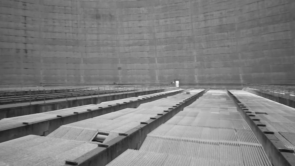
Abandoned Nuclear Plant, Satsop WA
blackandwhite usa nature water monochrome creek forest washington rocks unitedstates northwest pacificnorthwest northamerica washingtonstate cedarcreek blackandwhitephotography naturephotography
Forest Along Cedar Creek, Capital State Forest, Washington, 2015
vw brooklyn washington nikon d70 rally olympus dust oakville jimculp prorallypix
1984 VW Rabbit GTI
blackandwhite usa nature monochrome forest washington unitedstates northwest pacificnorthwest northamerica washingtonstate blackandwhitephotography naturephotography
Forest Abstract, Capital State Forest, Washington, 2015
longexposure river long exposure pentax williamolson k200d pentaxk200d billyolson
Soft Water Hard Light
ice nature creek forest canon landscape washington pano capitol cedar olympia 1750 wa tamron dline rockcandy 40d
Cedar Creek Pano/Capitol Forest
longexposure river long exposure pentax hdr williamolson k200d pentaxk200d billyolson
River HDR
wildflower camas camassiaquamash wawildflowers
IMG_7416 Field of Camas - Camassia quamash
buttercup wildflower camas camassiaquamash westernbuttercup ranunculusoccidentalis wawildflowers
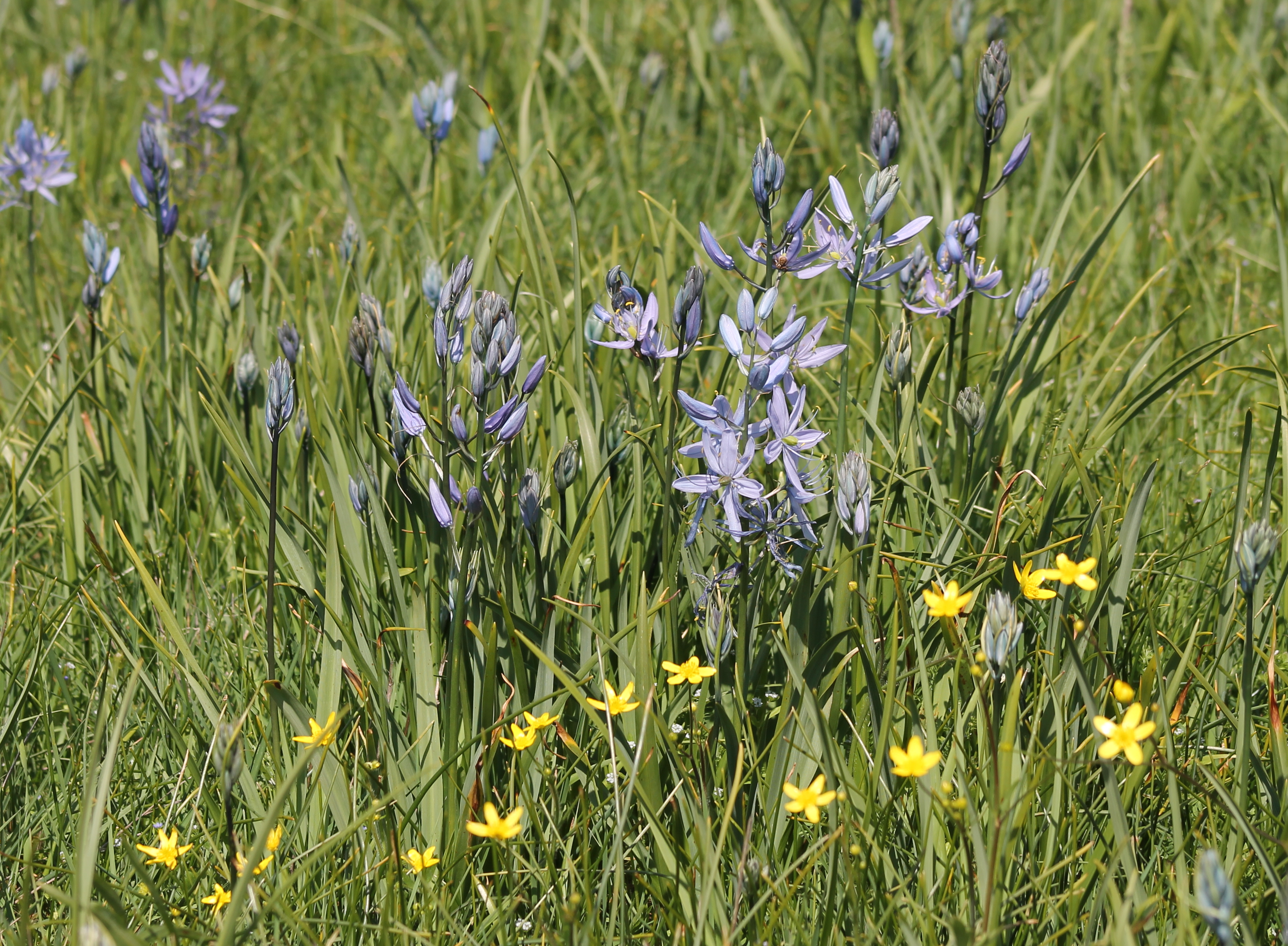
IMG_7407 Camas and Buttercup
water rain blackriver ats
River Bridge
flickrandroidapp:filter=none
lunch spot
wildflower camas camassiaquamash wawildflowers
IMG_7405 Camas - Camassia quamash
square squareformat iphoneography instagramapp uploaded:by=instagram foursquare:venue=4c3d0dfe15cb1b8d59857bdc
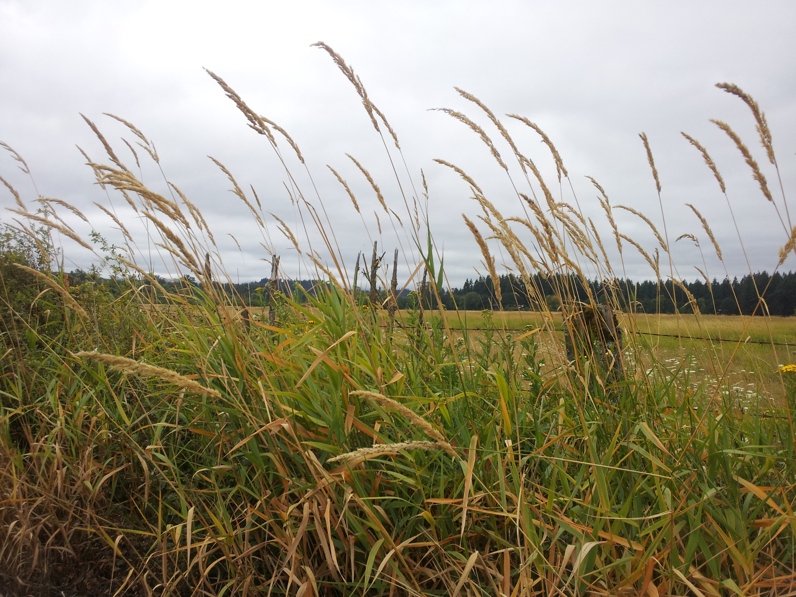
#washington #clouds #scenic #barns #old #driving #hiking
clouds 350d washington lenstagged simpsons rebelxt nuclearpowerplant sigma1020mmf4056
The Simpsons
geocaching mountainbiking capitolpeak capitolstateforest
Capitol Peak