Elevation of 50 Gannett Rd, Scituate, MA, USA
Location: United States > Massachusetts > Plymouth County > Scituate >
Longitude: -70.764383
Latitude: 42.2328639
Elevation: 5m / 16feet
Barometric Pressure: 101KPa
Elevation Map:
Satellite Map:
Related Photos:

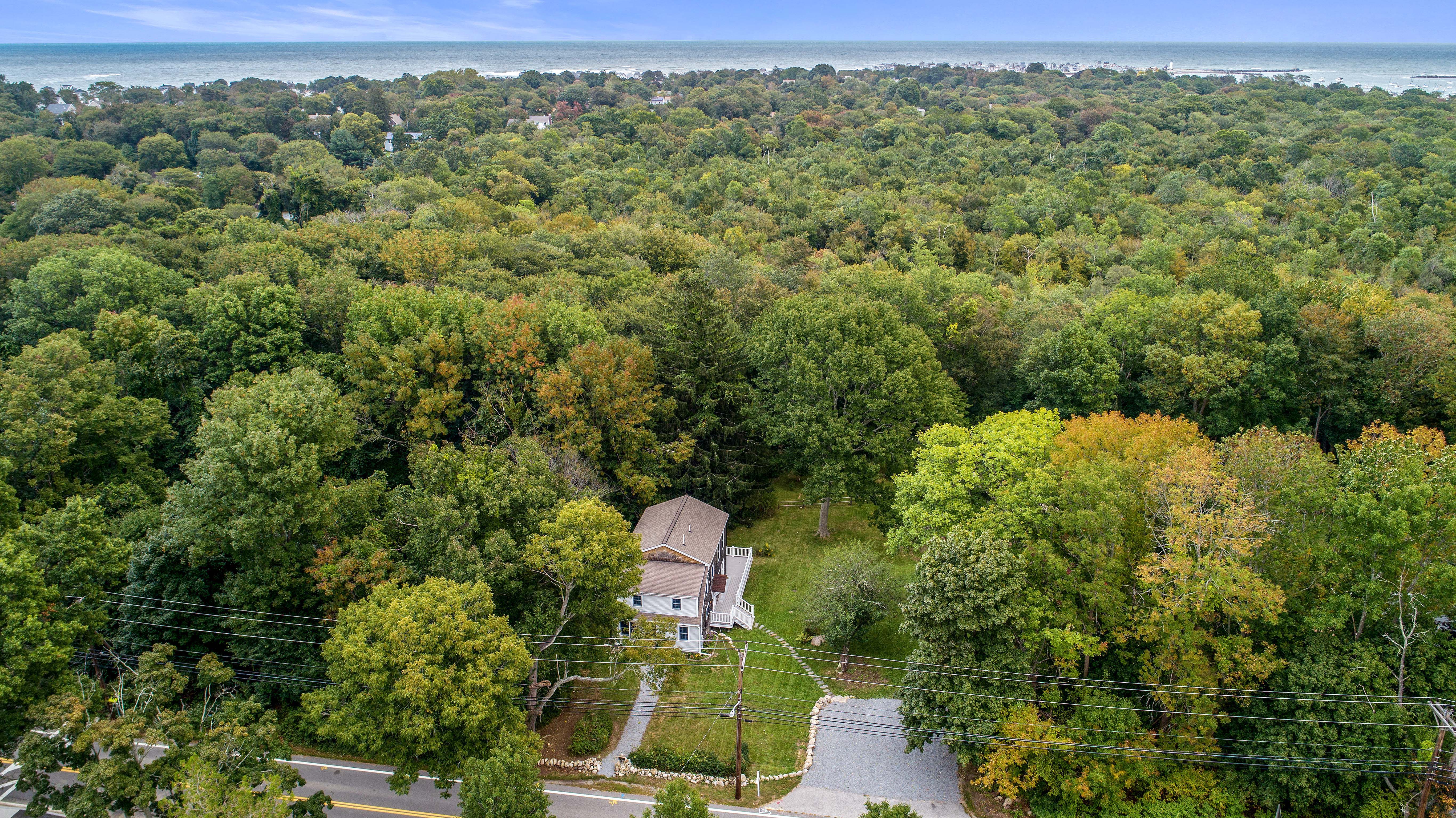
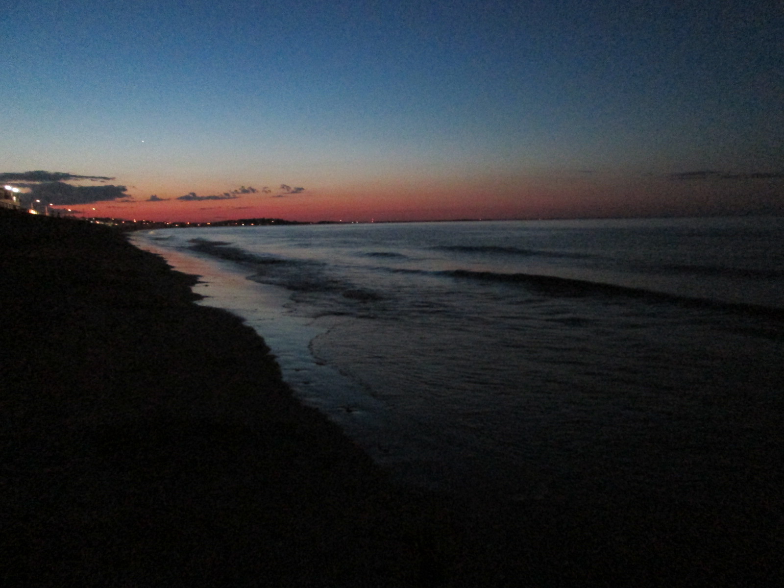
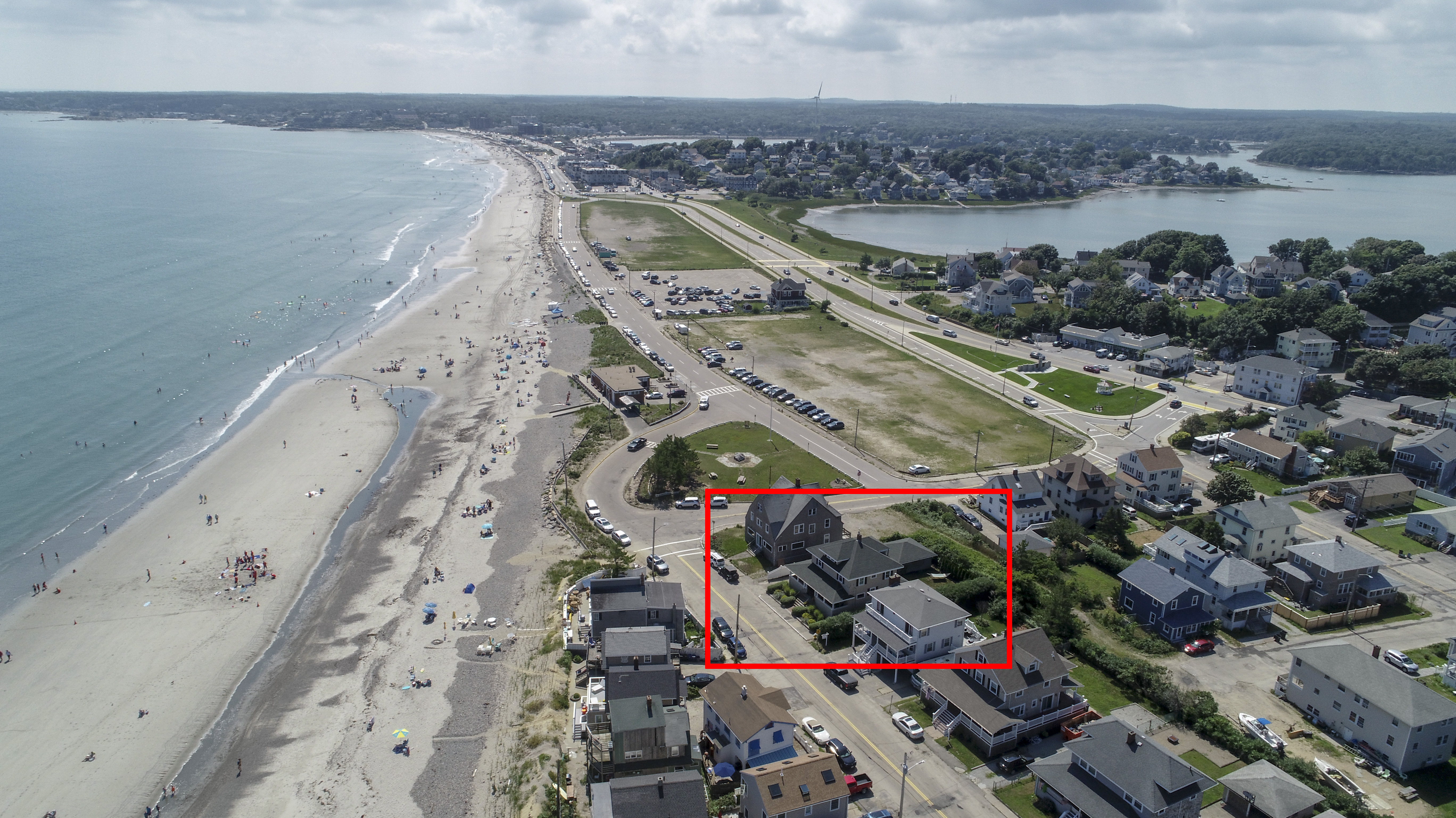
_RDX9532.jpg

_M4_6207.jpg

_M4_3557.jpg

_RDX0203.jpg

_M4_2485.jpg

_RDX9875.jpg

_M4_6222.jpg

_RDX7170.jpg

_RDX3700.jpg

_M4_6670.jpg

_RDX0024.jpg

_RDX9621.jpg

_RDX1145.jpg

_RDX9324.jpg

_M4_0826.jpg

_M4_1662.jpg

_M4_2559.jpg

_RDX0974.jpg

_D2_0506.jpg

_RDX4752.jpg

_RDX6629.jpg
North River

U n t i t l e d
231 (15 of 20)
Come sail away

4th Cliff from 3rd Cliff
North River Wildlife Sanctuary
146 Tilden New (10 of 11)
fire is out
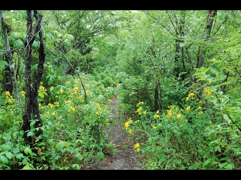
flower path

Top of the rock at Minot Beach - Scituate, MA

231 (20 of 20)
11 Manomet Aerials-5
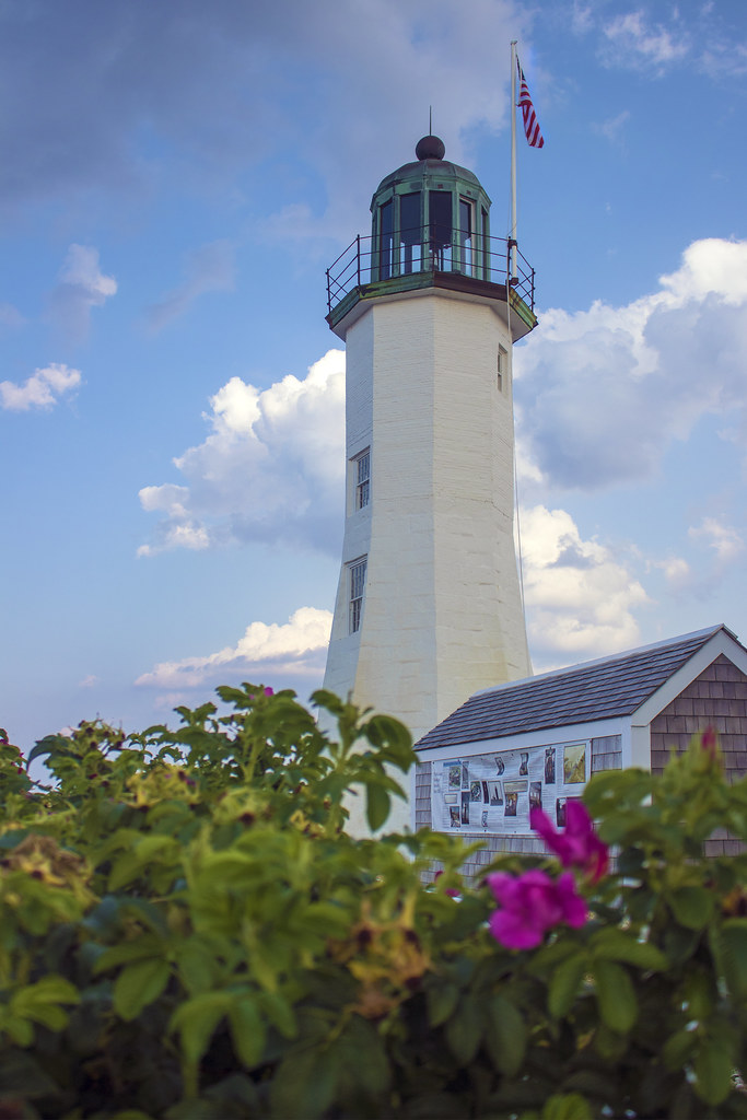
Scituate Lighthouse, Scituate, Massachusetts
Out for a Walk
231 (19 of 20)

Clouds rolling in

Humarock, MA; Aug 2018
73 Broad Reach Unit 152 (18)

Scituate Light 4
Cohasset Harbor - Cohasset, Massachusetts

Scituate Lighthouse - Scituate Harbor, MA
Topographic Map of 50 Gannett Rd, Scituate, MA, USA
Find elevation by address:

Places near 50 Gannett Rd, Scituate, MA, USA:
50 Gannett Rd
50 Gannett Rd
50 Gannett Rd
50 Gannett Rd
50 Gannett Rd
50 Gannett Rd
50 Gannett Rd
50 Gannett Rd
50 Gannett Rd
50 Gannett Rd
50 Gannett Rd
574 Hatherly Rd
47 Gannett Rd
578 Hatherly Rd
53 Gannett Rd
45 Gannett Rd
582 Hatherly Rd
41 Gannett Rd
39 Gannett Rd
61 Gannett Rd
Recent Searches:
- Elevation of 72-31 Metropolitan Ave, Middle Village, NY, USA
- Elevation of 76 Metropolitan Ave, Brooklyn, NY, USA
- Elevation of Alisal Rd, Solvang, CA, USA
- Elevation of Vista Blvd, Sparks, NV, USA
- Elevation of 15th Ave SE, St. Petersburg, FL, USA
- Elevation of Beall Road, Beall Rd, Florida, USA
- Elevation of Leguwa, Nepal
- Elevation of County Rd, Enterprise, AL, USA
- Elevation of Kolchuginsky District, Vladimir Oblast, Russia
- Elevation of Shustino, Vladimir Oblast, Russia