Elevation of 50 Cain St, Redhead NSW, Australia
Location: Australia > New South Wales > Lake Macquarie City Council > Redhead >
Longitude: 151.707350
Latitude: -33.014571
Elevation: -10000m / -32808feet
Barometric Pressure: 295KPa
Elevation Map:
Satellite Map:
Related Photos:

Wild and rugged

Nobby Beach Sunset

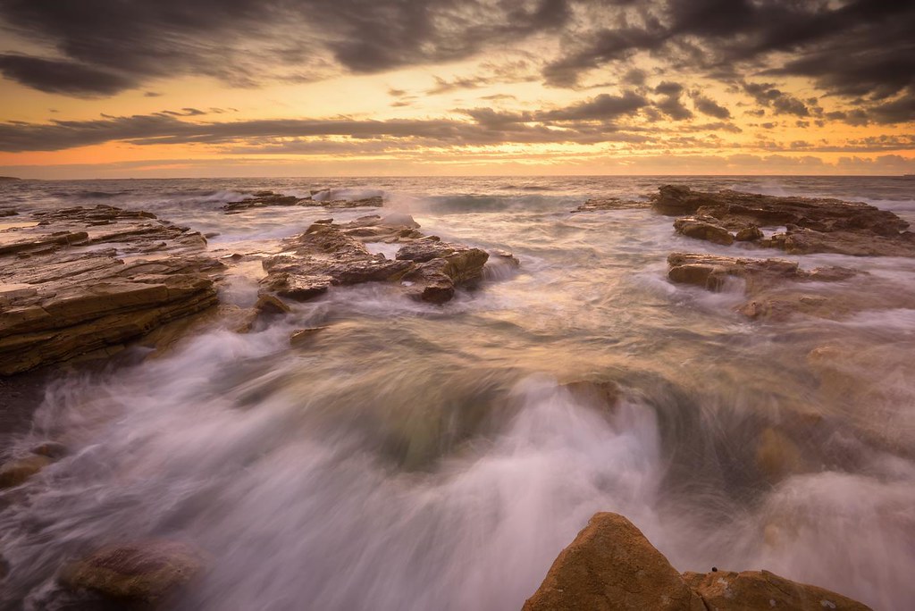
Reverse Flow

CAVE VIEW - CAVES BEACH.
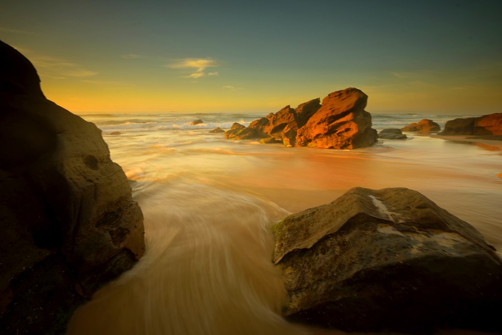
Between the Rocks

Reverse Flow

Into the Light

In the Shallows
Into the Distance

Green Wave
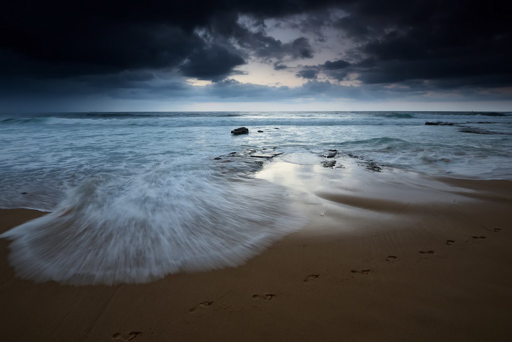
Footprints in the Sand

Low Tide Flow

Morning Stillness

Rock Fall

Incoming Flow

Lowdown at Chalky Beach

Green Sludge

What Lies Beneath

Abstract Sunrise

Incoming Flow

Reverse Flow

WAVES ON THE BREAKWATER
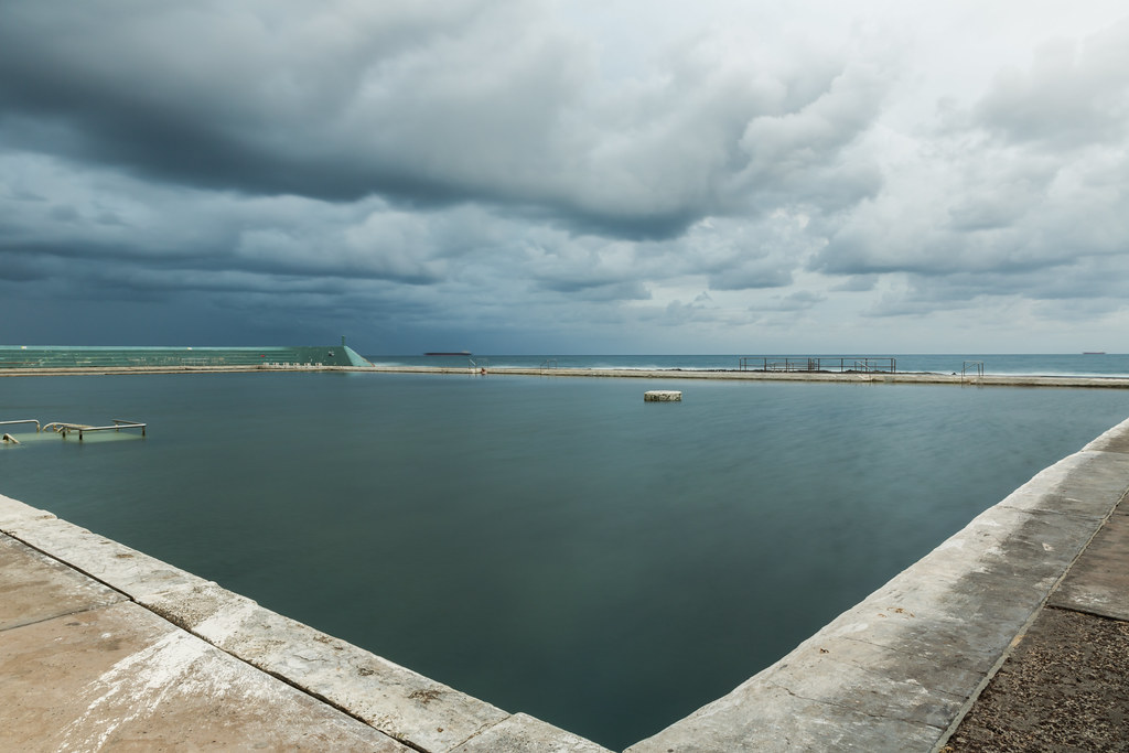
Newcastle Ocean Baths

Stockton Beach - Surrealistic

The beauty of light...

The beach - Glenrock NSW

South Newcastle Beach 2

BAR BEACH SUNRISE

Harbour Lights (4k)

Gone Fishing
Topographic Map of 50 Cain St, Redhead NSW, Australia
Find elevation by address:

Places near 50 Cain St, Redhead NSW, Australia:
27 Dodds St
12 Dodds St
66 Cowlishaw St
21 Burns St
Redhead
29 Golding Ave
Gateshead
12 Nulkara St
19 Camberwarra Dr
Belmont North
2 Acacia Pl
11 Jamieson St
53 Livingstone St
501 Pacific Hwy
Kahibah
33 Frith St
Harlow St
Belmont
77 Wallsend St
63 Waratah St
Recent Searches:
- Elevation of Thorpe Cir, Thousand Oaks, CA, USA
- Elevation of Eldorado do Sul - RS, Brazil
- Elevation of Eldorado do Sul - Parque Eldorado, Eldorado do Sul - RS, -, Brazil
- Elevation of 35 Governors Ln, Hilton Head Island, SC, USA
- Elevation of Orangevale, CA, USA
- Elevation of Doe Cir, Clinton, OH, USA
- Elevation of Narhe, Pune, Maharashtra, India
- Elevation of Martins Mill Ct, Eagle Rock, NC, USA
- Elevation of Kippen, Stirling FK8, UK
- Elevation of Sieveringer Straße, Sieveringer Str., Wien, Austria