Elevation of 4 John Temple Dr, Eton QLD, Australia
Location: Australia > Queensland >
Longitude: 148.935345
Latitude: -21.308426
Elevation: 73m / 240feet
Barometric Pressure: 100KPa
Elevation Map:
Satellite Map:
Related Photos:

School pageant, Eton
Sky Window view

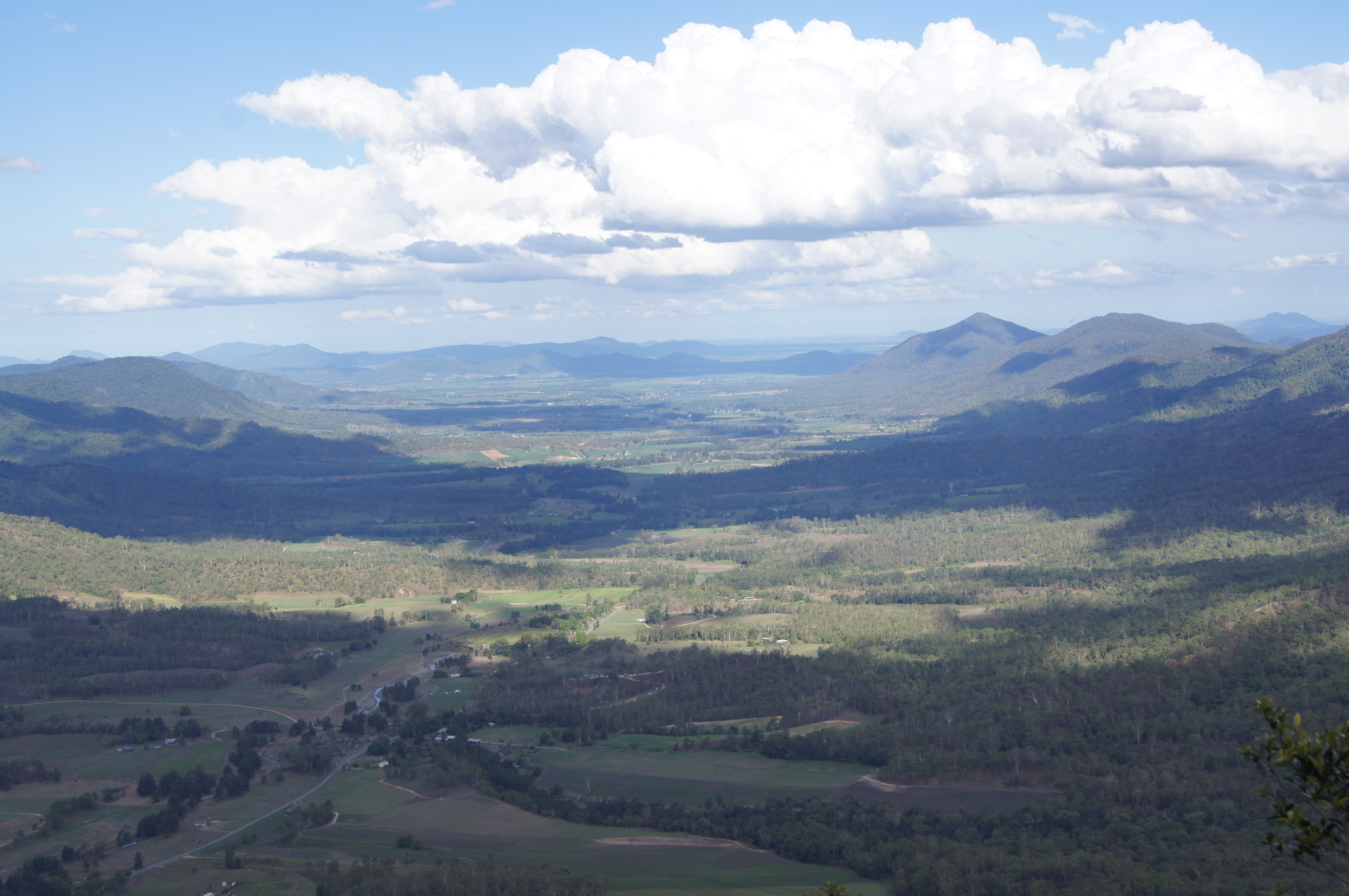
Looking back towards Mackay

Kinchant Dam.

DSC_3334-Recovered

20120119-January-Canon EOS 400D DIGITAL-Helicopter-13

20120112 - On the road again - Emerald to Mackay-127

20120112 - On the road again - Emerald to Mackay-112
Topographic Map of 4 John Temple Dr, Eton QLD, Australia
Find elevation by address:

Places near 4 John Temple Dr, Eton QLD, Australia:
Recent Searches:
- Elevation of 12 Hutchinson Woods Dr, Fletcher, NC, USA
- Elevation of Holloway Ave, San Francisco, CA, USA
- Elevation of Norfolk, NY, USA
- Elevation of - San Marcos Pass Rd, Santa Barbara, CA, USA
- Elevation of th Pl SE, Issaquah, WA, USA
- Elevation of 82- D Rd, Captain Cook, HI, USA
- Elevation of Harlow CM20 2PR, UK
- Elevation of Shenyang Agricultural University, Dong Ling Lu, Shen He Qu, Shen Yang Shi, Liao Ning Sheng, China
- Elevation of Alpha Dr, Melbourne, FL, USA
- Elevation of Hiroshima University, 1-chōme-3-2 Kagamiyama, Higashihiroshima, Hiroshima -, Japan