Elevation of 4 Forks Rd, Shreveport, LA, USA
Location: United States > Louisiana > Caddo Parish >
Longitude: -93.985283
Latitude: 32.22416
Elevation: 112m / 367feet
Barometric Pressure: 100KPa
Elevation Map:
Satellite Map:
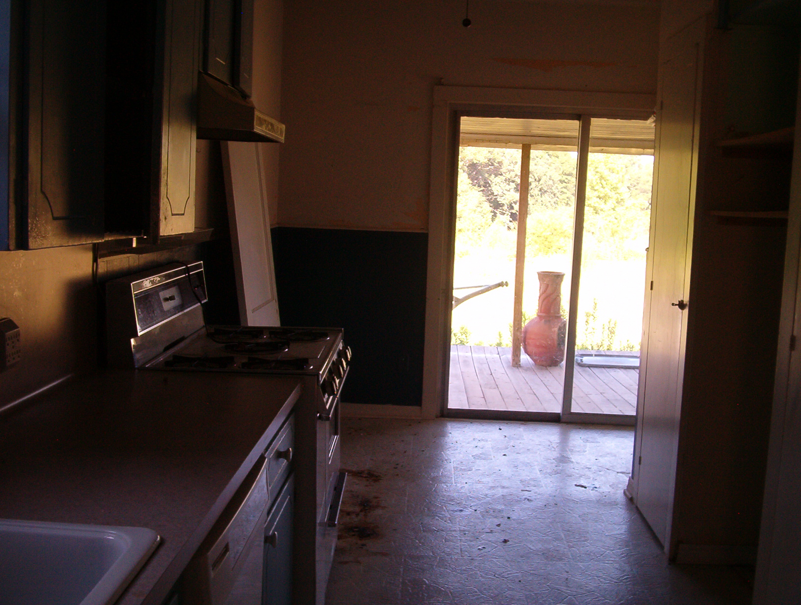
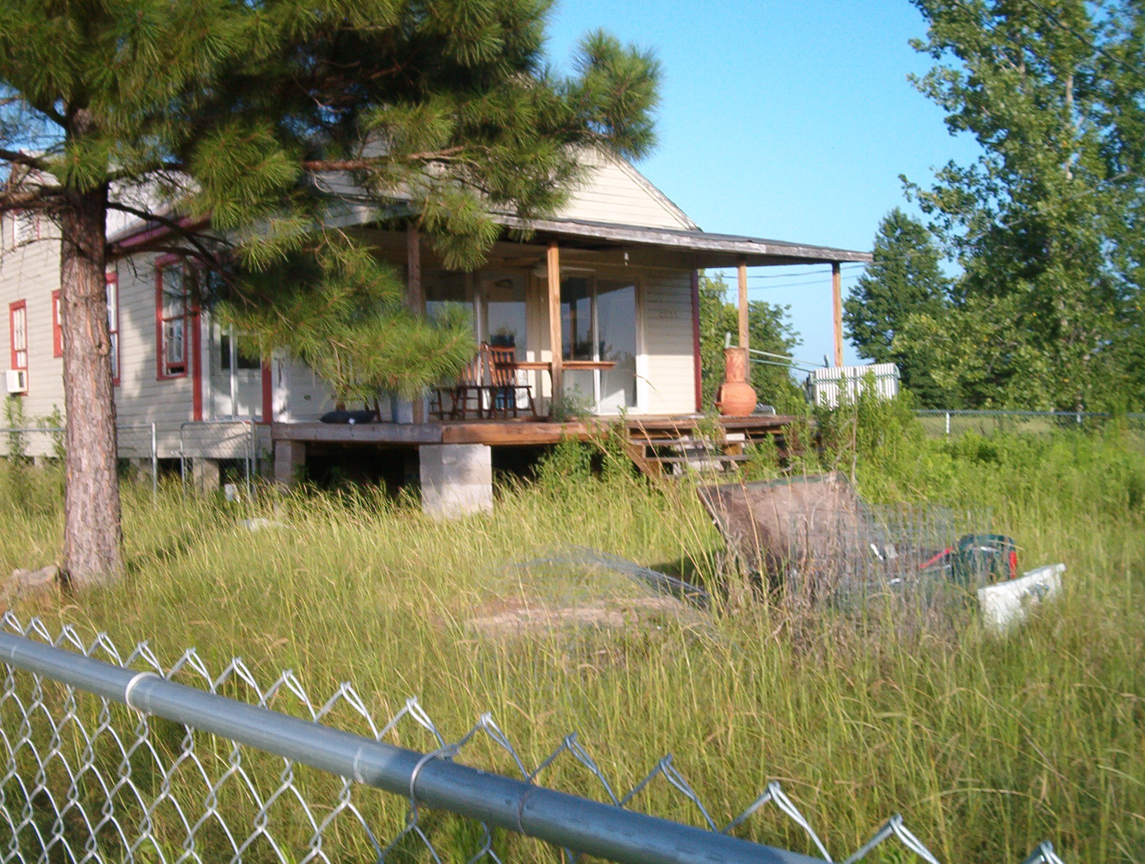
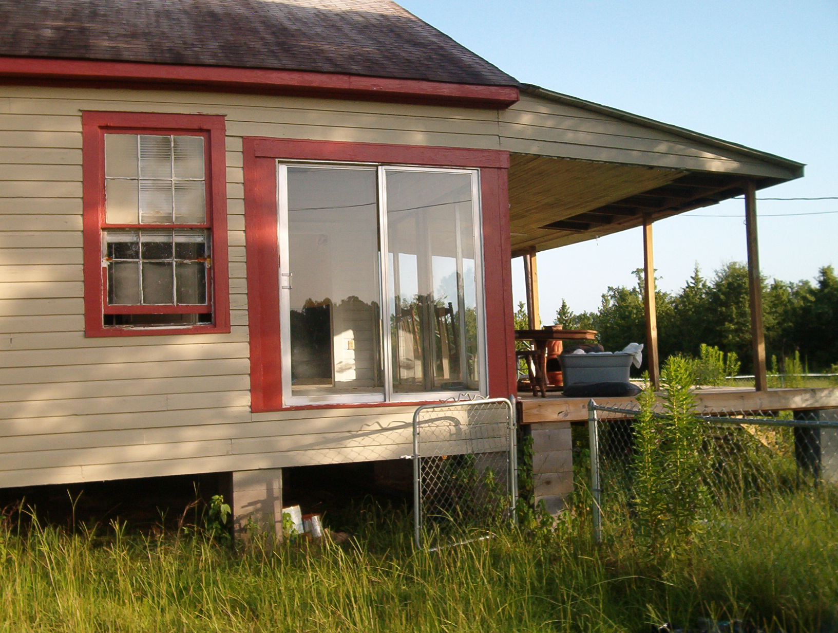
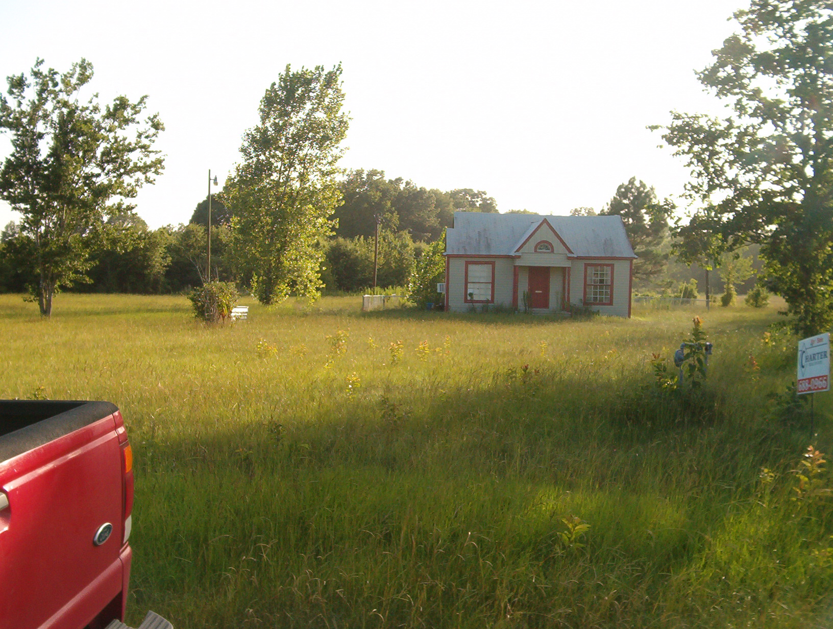
Related Photos:
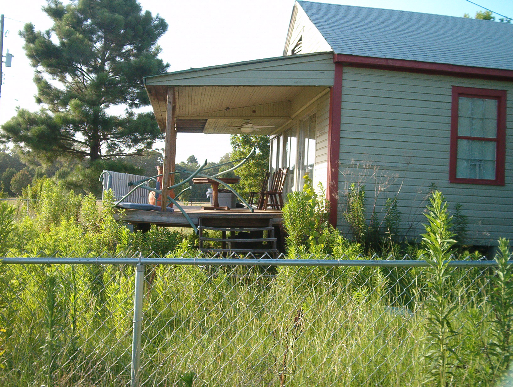
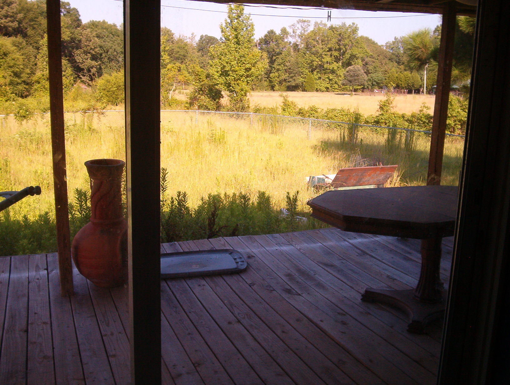
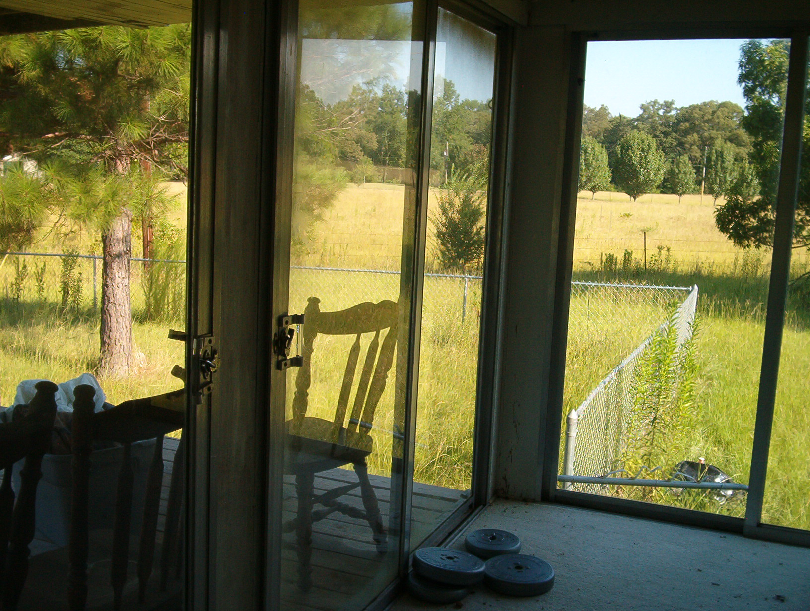
house 009

house 007
house 015

house 002
house 006
house 016
house 013

house 008

house 004

house 010
house 005
house 003

house 018
house 001
house 012
house 011
house 019

Northwest Louisiana Veterans Cemetery
Can't see the forest...
Topographic Map of 4 Forks Rd, Shreveport, LA, USA
Find elevation by address:

Places near 4 Forks Rd, Shreveport, LA, USA:
267 Murphy Rd
Speights Rd, Keatchie, LA, USA
11, LA, USA
5699 Jeri Ln
1930 Pine Grove Rd
Nelson Drive
Stonewall
Casse Community Health
Keithville
De Berry
2, LA, USA
3, LA, USA
W Main St, Grand Cane, LA, USA
Haslam Sawmill Rd, Joaquin, TX, USA
Joaquin
1c
US-84, Stanley, LA, USA
Stanley
Norris Ferry Rd Exd, Shreveport, LA, USA
TX-7, Joaquin, TX, USA
Recent Searches:
- Elevation of Tenjo, Cundinamarca, Colombia
- Elevation of Côte-des-Neiges, Montreal, QC H4A 3J6, Canada
- Elevation of Bobcat Dr, Helena, MT, USA
- Elevation of Zu den Ihlowbergen, Althüttendorf, Germany
- Elevation of Badaber, Peshawar, Khyber Pakhtunkhwa, Pakistan
- Elevation of SE Heron Loop, Lincoln City, OR, USA
- Elevation of Slanický ostrov, 01 Námestovo, Slovakia
- Elevation of Spaceport America, Co Rd A, Truth or Consequences, NM, USA
- Elevation of Warwick, RI, USA
- Elevation of Fern Rd, Whitmore, CA, USA