Elevation of 49 Vineyard Cir, Sonoma, CA, USA
Location: United States > California > Sonoma County > Sonoma >
Longitude: -122.49199
Latitude: 38.266405
Elevation: 30m / 98feet
Barometric Pressure: 101KPa
Elevation Map:
Satellite Map:
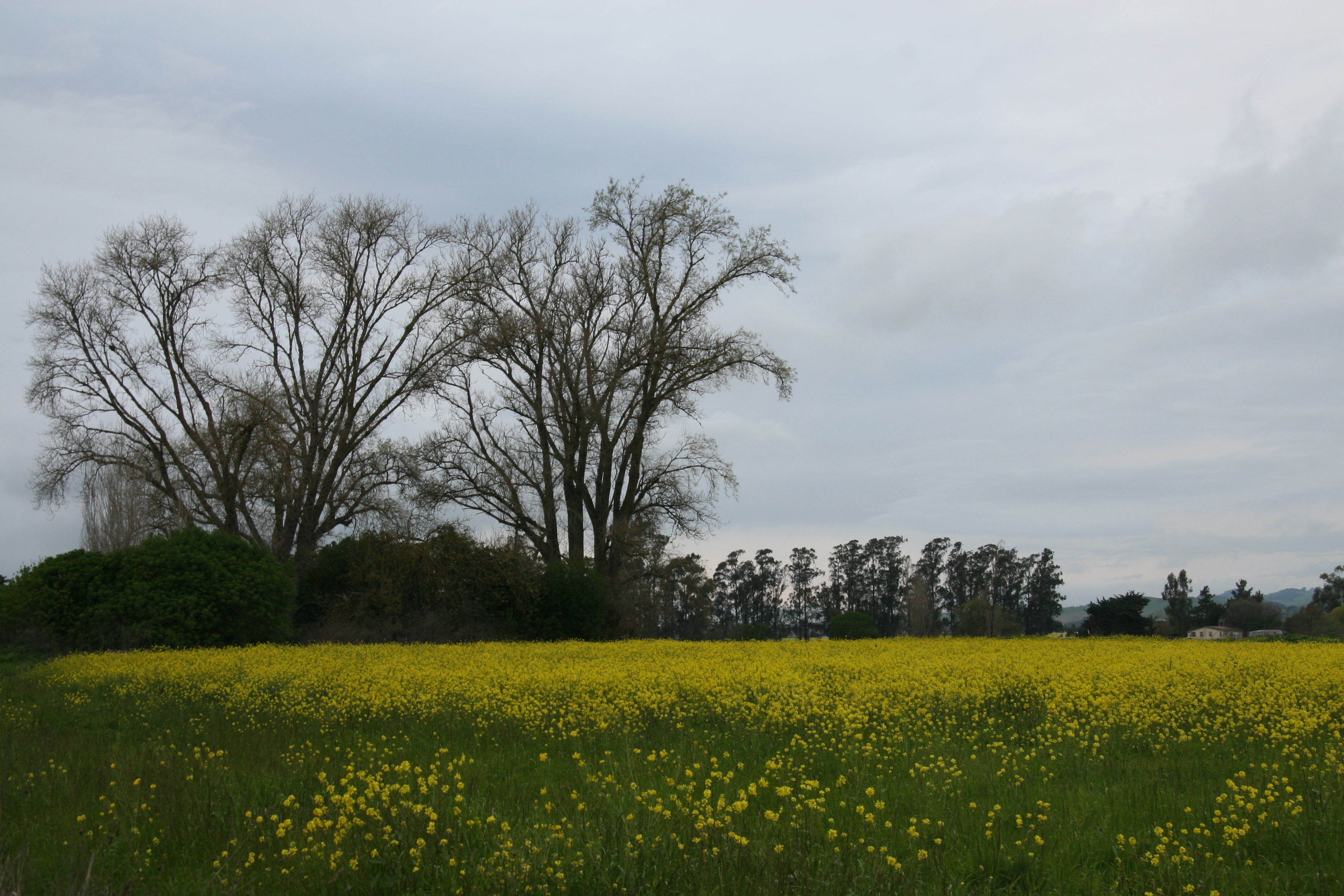
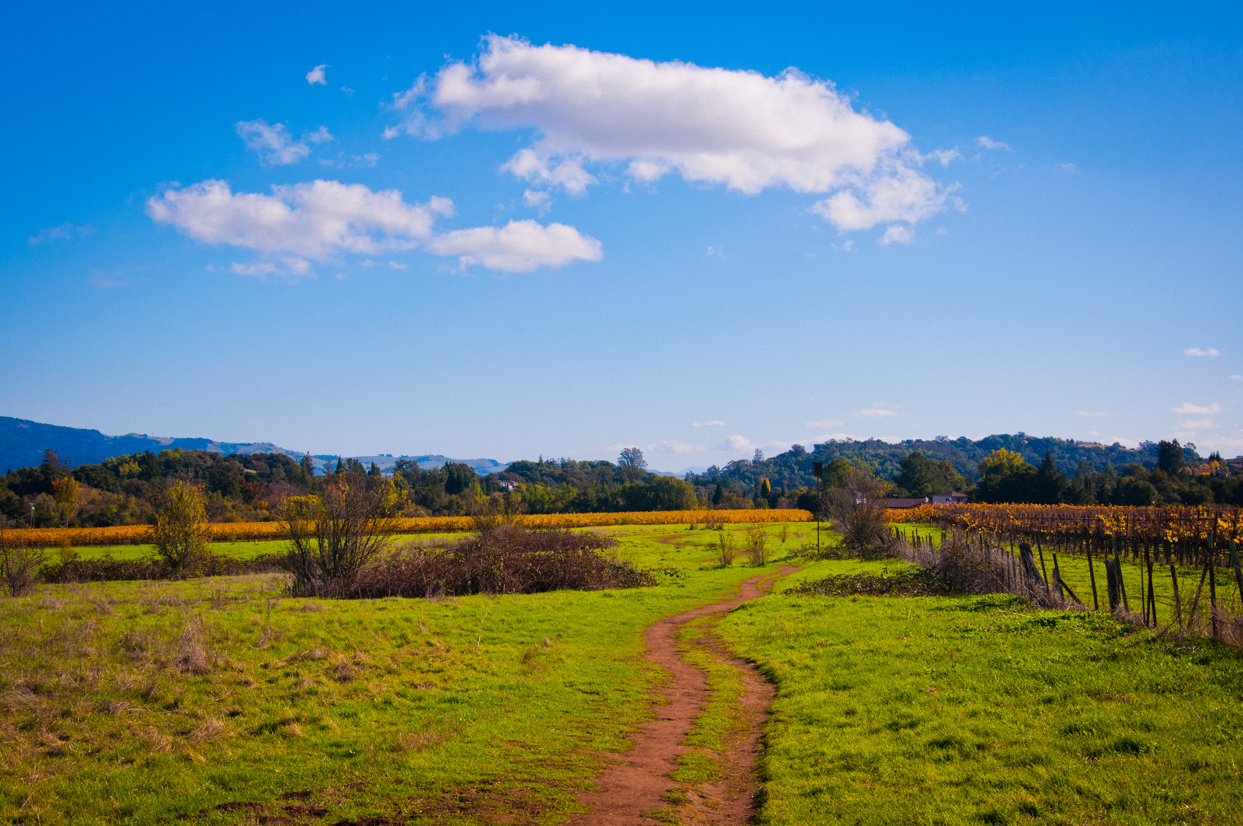
Related Photos:
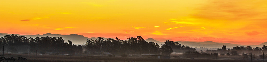
Sunrise Yesterday Morning in Petaluma
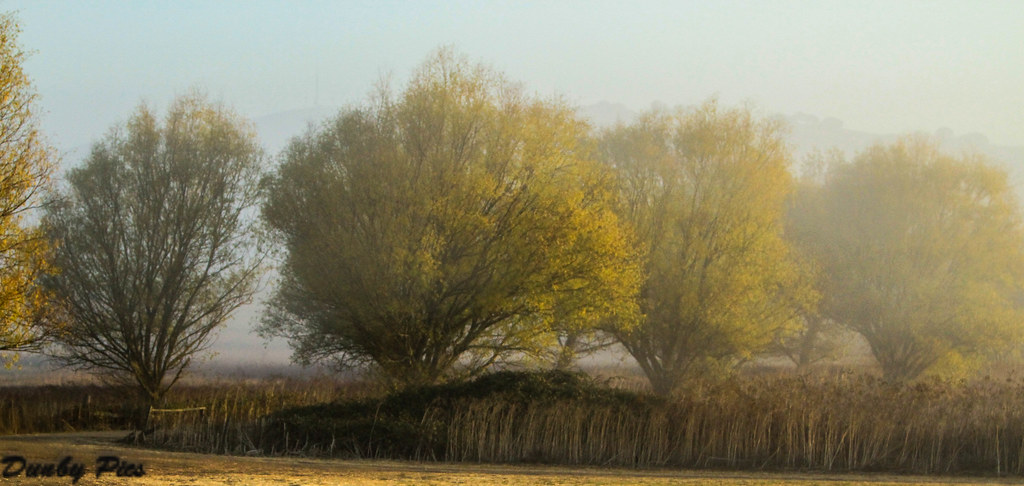
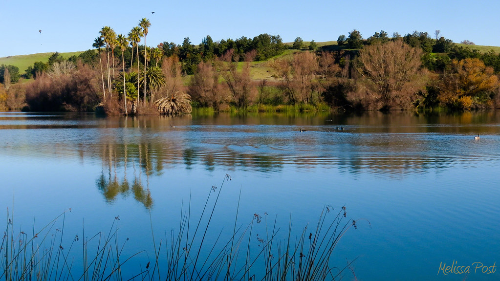
Foggy Morning Fall Trees - Landscapes of Tolay Lake Regional Park

Jack London State Historic Park
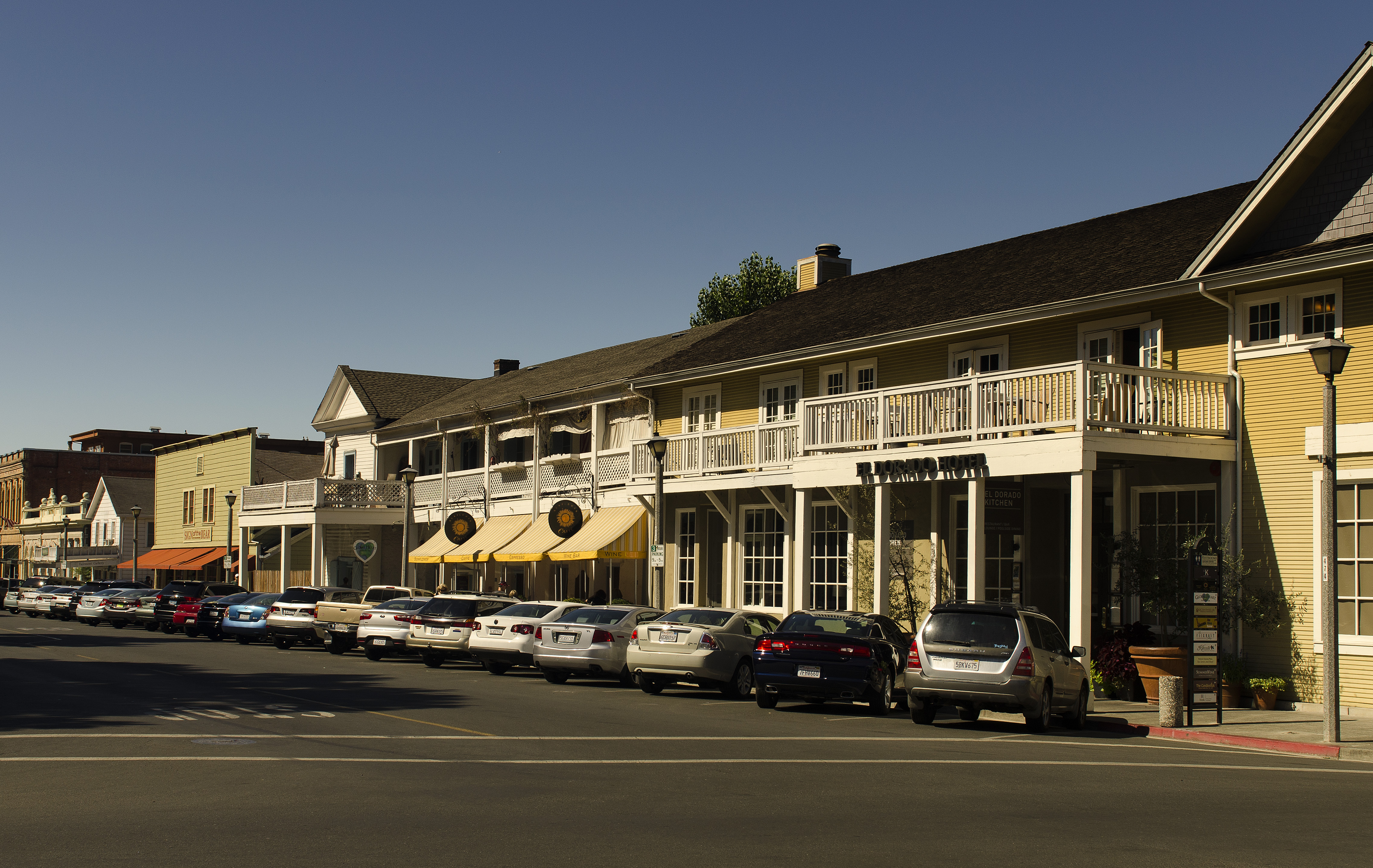
El Dorado Hotel - Sonoma

2014 Petaluma Lighted Boat Parade
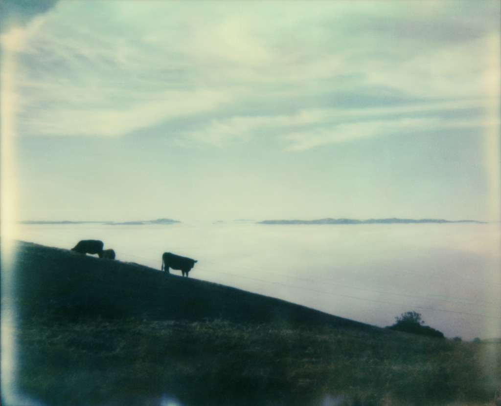
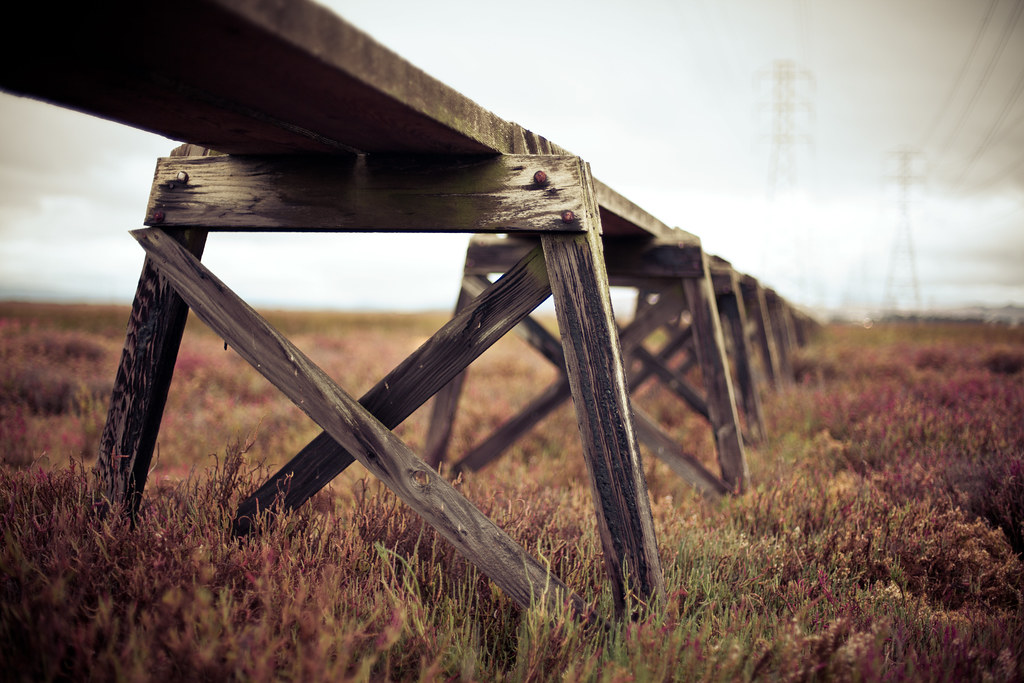
view from gravity hill
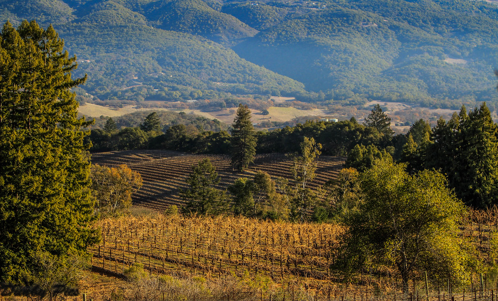
Vineyards surrounding Jack London State Historic Park
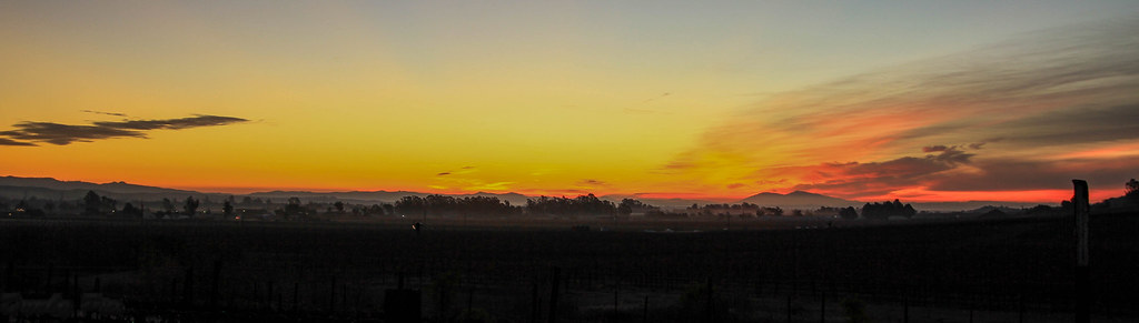
Sunrise Yesterday Morning in Petaluma
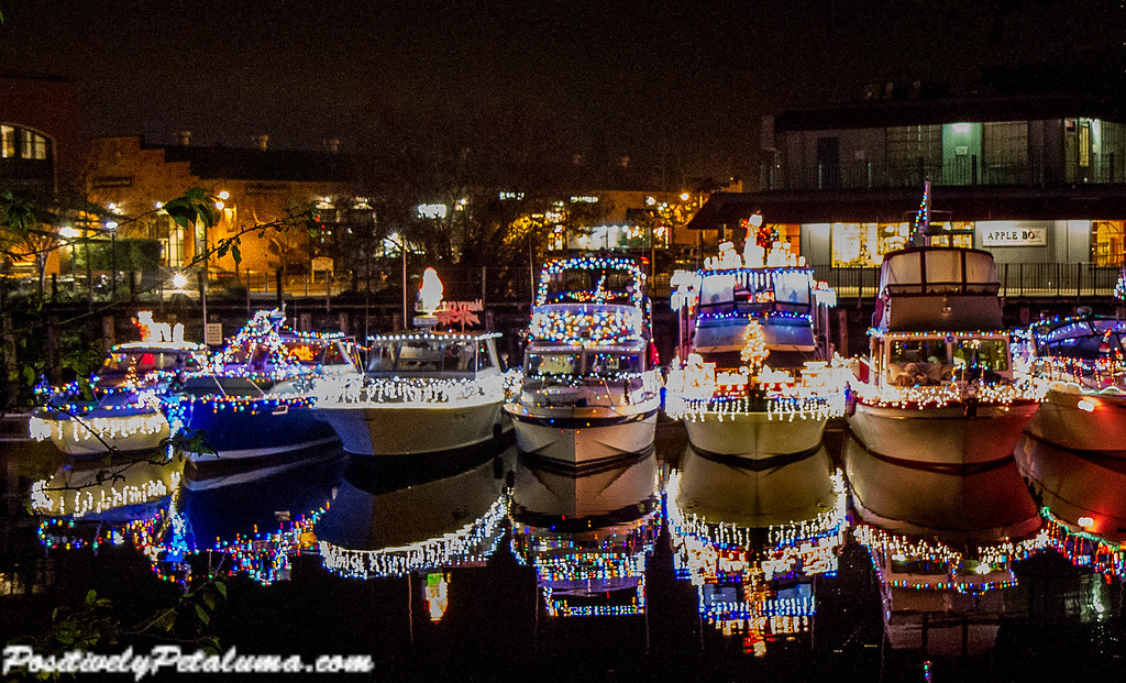
2014 Petaluma Lighted Boat Parade

Duck Diversity Reflection at Ellis Creek - Petaluma Wetlands
Making Believe

Great White Egret at Ellis Creek - Petaluma Wetlands

Panning Mallards on Take Off Reflection Pano - A Fowl Day at Tolay Lake Regional Park

Sonoma Valley Regional Park & Lake Suttonfield

Red-shouldered Hawk at Ellis Creek - Petaluma Wetlands
Grey Heron - More wildlife at Jack London State Historic Park
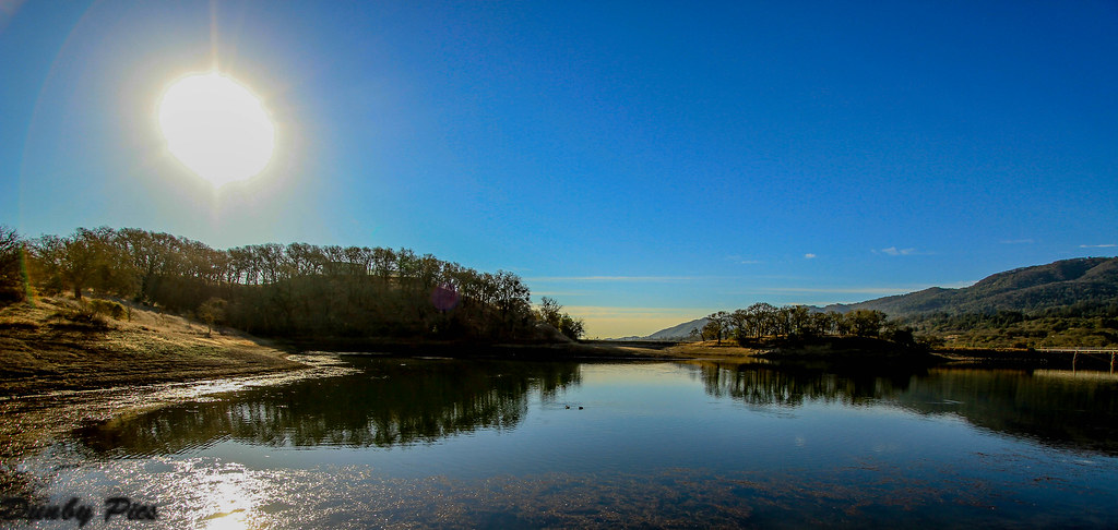
Sonoma Valley Regional Park

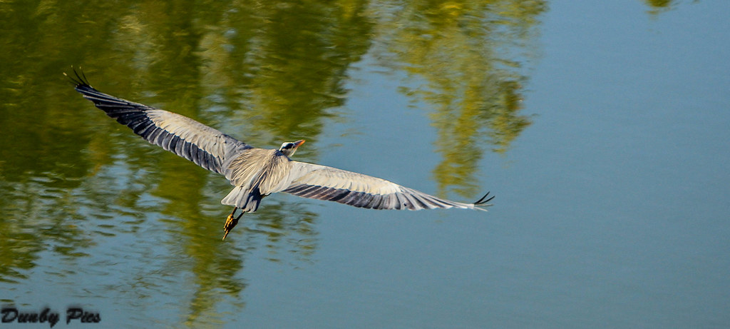
Blue Heron - A Mixed Bag of Fowl at Tolay Lake Regional Park

Focus on Structures and Architecture at Jack London State Historic Park
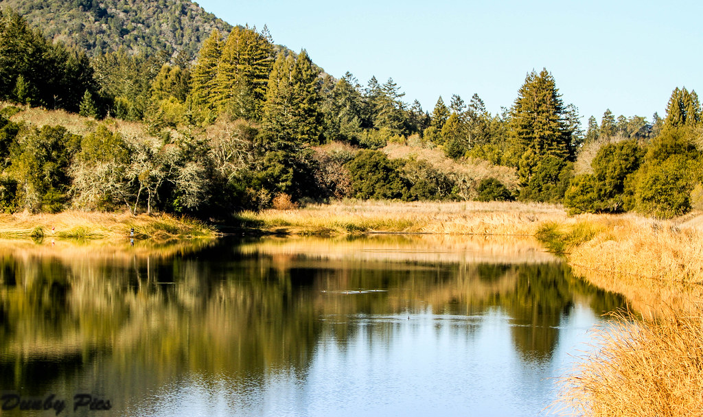
Fern Lake - Jack London State Park

Black Bird Flight in Fog - A Mixed Bag of Fowl at Tolay Lake Regional Park
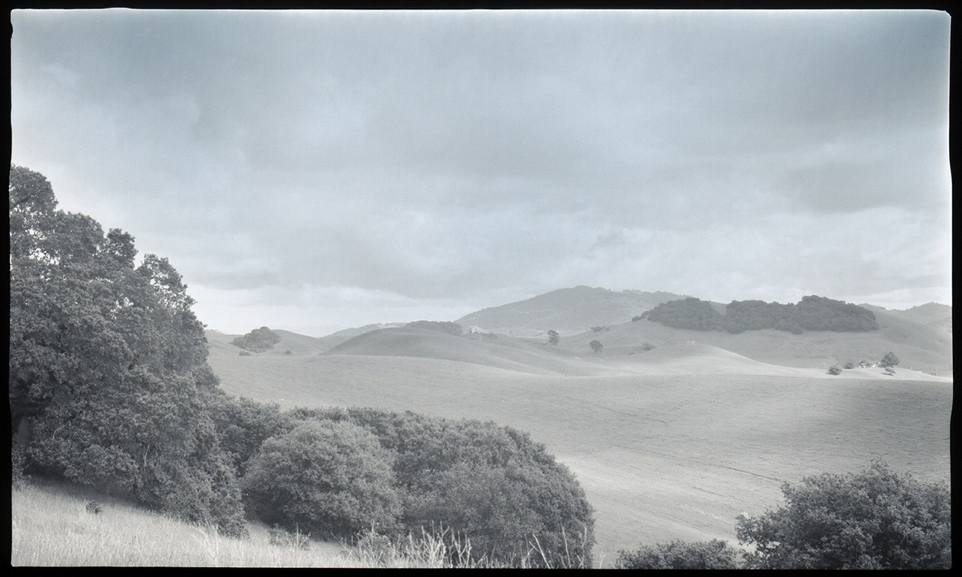
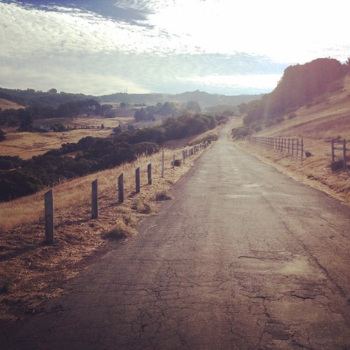
Petaluma Hills

IMGP4051-Edit
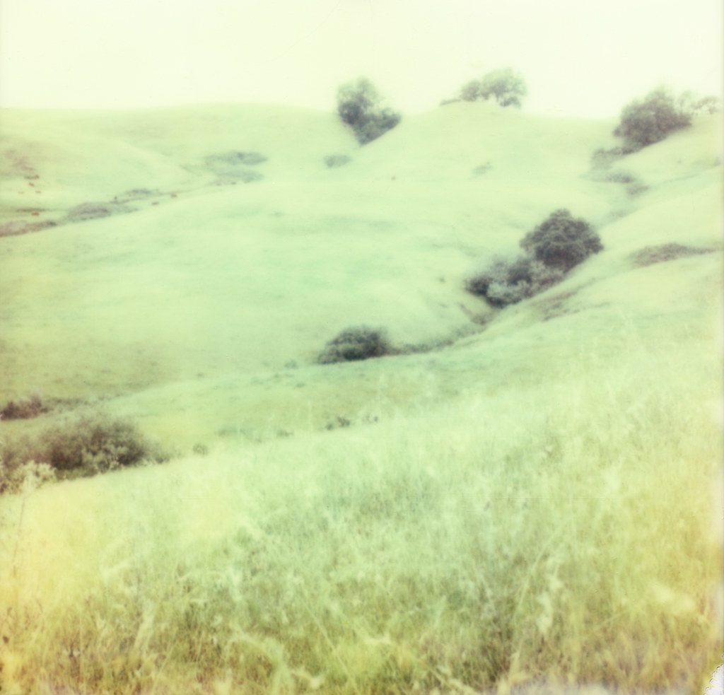
Like Spring
how near how far

hill and sky

Westwood Hills Napa,CA

more green-and-fog, from this morning's commute
sonoma mtn
looking back up at Sonoma Mtn

Vineyard Light

335/365 : landscape
IMG_2888.JPG

Carneros Windmill2
_DSC1613.jpg
Topographic Map of 49 Vineyard Cir, Sonoma, CA, USA
Find elevation by address:

Places near 49 Vineyard Cir, Sonoma, CA, USA:
Temelec
1309 Avenida Sebastiani
Cazares Circle
1375 Lubeck St
Broadway
El Verano
Grove St, Sonoma, CA, USA
West Macarthur Street
1002 1st St W
350 Robinson St
Verano Ave, Sonoma, CA, USA
Sonoma
Tina Shone Group ~ Sotheby's International Realty
Kamen Estate Wines
18247 Comstock Ave
594 Napa Rd
Fairmont Sonoma Mission Inn & Spa
569 Michael Dr
327 E Napa St
Carriger Rd, Sonoma, CA, USA
Recent Searches:
- Elevation of Lampiasi St, Sarasota, FL, USA
- Elevation of Elwyn Dr, Roanoke Rapids, NC, USA
- Elevation of Congressional Dr, Stevensville, MD, USA
- Elevation of Bellview Rd, McLean, VA, USA
- Elevation of Stage Island Rd, Chatham, MA, USA
- Elevation of Shibuya Scramble Crossing, 21 Udagawacho, Shibuya City, Tokyo -, Japan
- Elevation of Jadagoniai, Kaunas District Municipality, Lithuania
- Elevation of Pagonija rock, Kranto 7-oji g. 8"N, Kaunas, Lithuania
- Elevation of Co Rd 87, Jamestown, CO, USA
- Elevation of Tenjo, Cundinamarca, Colombia