Elevation of 49 Silver Feather Trail, Pecos, NM, USA
Location: United States > New Mexico > Pecos >
Longitude: -105.62075
Latitude: 35.5852989
Elevation: 2371m / 7779feet
Barometric Pressure: 76KPa
Elevation Map:
Satellite Map:
Related Photos:

Road to Pecos B&W
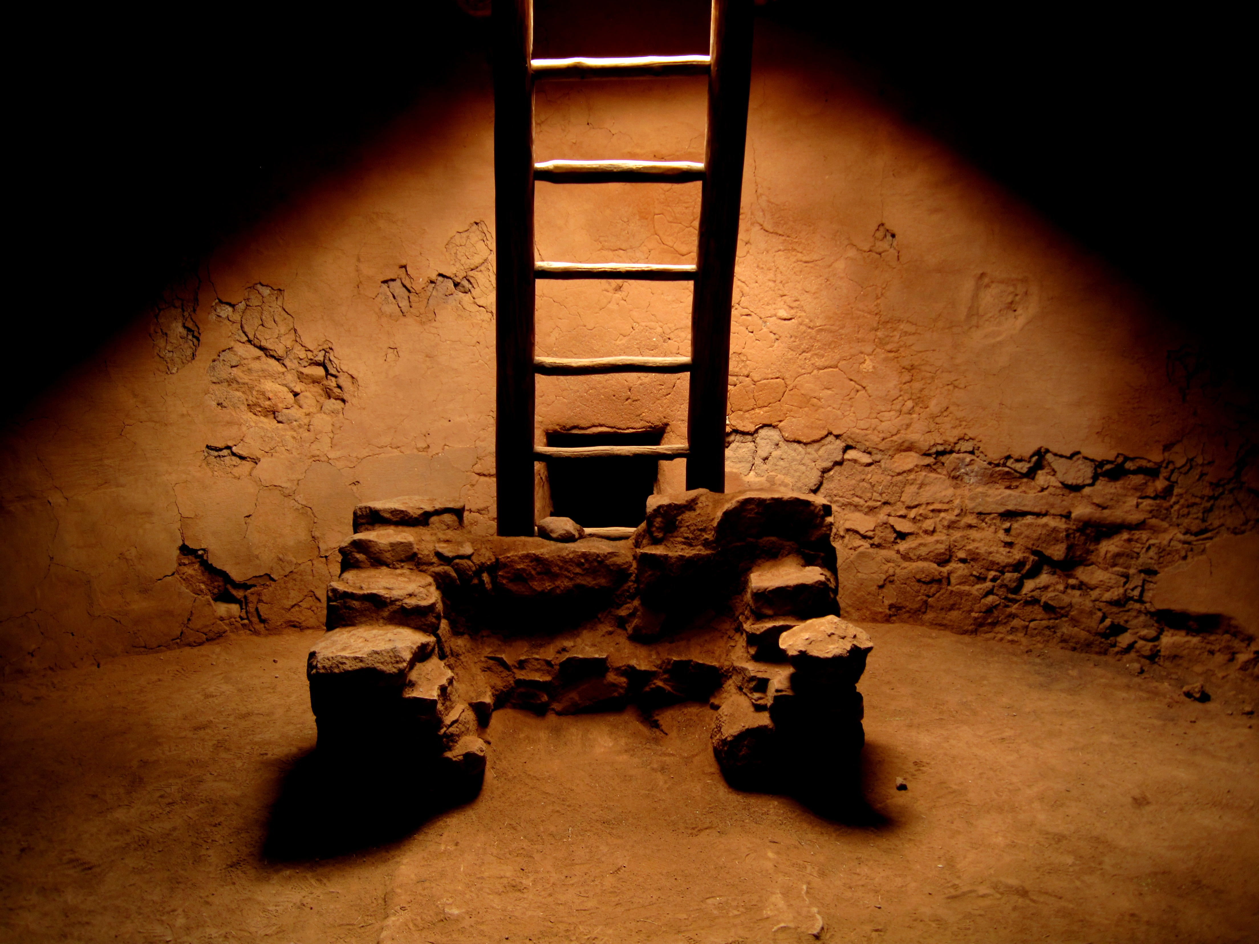
In the Kiva

Pecos National Historical Park

Pecos National Historical Park

AMTK 186 - AMT 4 - Rowe NM

Pecos National Historic Park

Old Cold Stones

Church with a View

View of Sangre de Cristo Mountains

To Walk Among Ruins
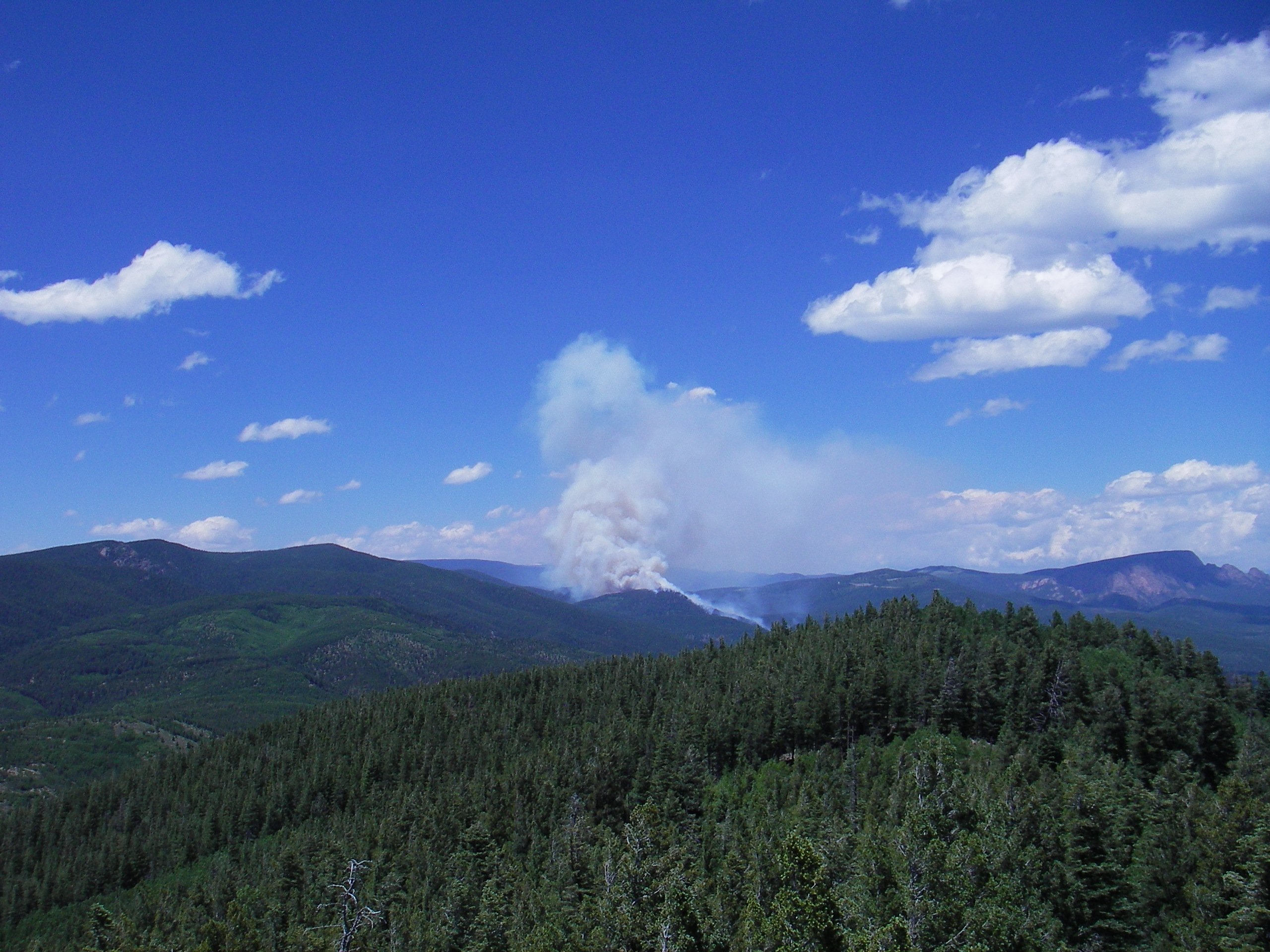
Tecolote Fire and Hermit's Peak

View to the Glorieta Mesa

Interstate 25 from northern New Mexico

Row Mesa view - New Mexico

tree in view

Holy Ghost Pecos 1

Kiva at Pecos NHP

Pecos NHP view

Interstate 25 from northern New Mexico

Lake View

Having fun at 8500 ft at the -x- (barxbar) ranch in New Mexico. Colorado tomorrow!! #-x- #nm #newmexico #barxbar #ranch #view #vacation #havingablast #wedding #jeep #wrangler #xtsjeep #mountains #selfie #fromsocal #bitchenweather

Blue Sky over Pecos Mission Ruins, New Mexico (DTA_6472)

Pecos Mission Ruins, New Mexico (DTA_6470)

Pecos National Historic Park Ruins II

Yellow Fall Colors

Historic Old Santa Fe Trail II

Church Pecos Historic Park Circa 1620

Amtrak Glorieta, NM

Pecos river -1

Ruins Pecos National Historic Park

Historic Old Santa Fe Trail

Canoncito Camposanto

Pecos National Historic Park Ruins

New Mexico: The Pecos River near Pecos NM

adobe church

Historic Pecos Pueblo Mission Church

Path to Mission Ruins, Pecos, New Mexico (DTA_6475)

Historic Glorieta Pass

Glorieta Pass - Civil War

Pecos river rapid

Pecos National Historic Park
Topographic Map of 49 Silver Feather Trail, Pecos, NM, USA
Find elevation by address:

Places near 49 Silver Feather Trail, Pecos, NM, USA:
Red Tail Ridge
Mirasol Lane
Pecos
17 Via Getruditas Loop
20 Indian View Rd
Rowe
37 Sweet Clover Ln
La Cueva
Viveash Mesa
26 Hummingbird Ln
150 Avenida Ponderosa
11 Nm-50
South San Ysidro
Barillas Peak
Glorieta
15 Tres Lagunas Rd
Ilfeld, NM, USA
Glorieta Pass
Tererro
3 Valencia Ranch Rd
Recent Searches:
- Elevation of Lampiasi St, Sarasota, FL, USA
- Elevation of Elwyn Dr, Roanoke Rapids, NC, USA
- Elevation of Congressional Dr, Stevensville, MD, USA
- Elevation of Bellview Rd, McLean, VA, USA
- Elevation of Stage Island Rd, Chatham, MA, USA
- Elevation of Shibuya Scramble Crossing, 21 Udagawacho, Shibuya City, Tokyo -, Japan
- Elevation of Jadagoniai, Kaunas District Municipality, Lithuania
- Elevation of Pagonija rock, Kranto 7-oji g. 8"N, Kaunas, Lithuania
- Elevation of Co Rd 87, Jamestown, CO, USA
- Elevation of Tenjo, Cundinamarca, Colombia