Elevation of 47 MB-, Ridgeville, MB R0A 1M0, Canada
Location: Canada > Manitoba > Division No. 2 > Franklin > Ridgeville >
Longitude: -97.010728
Latitude: 49.0640655
Elevation: 251m / 823feet
Barometric Pressure: 98KPa
Elevation Map:
Satellite Map:
Related Photos:
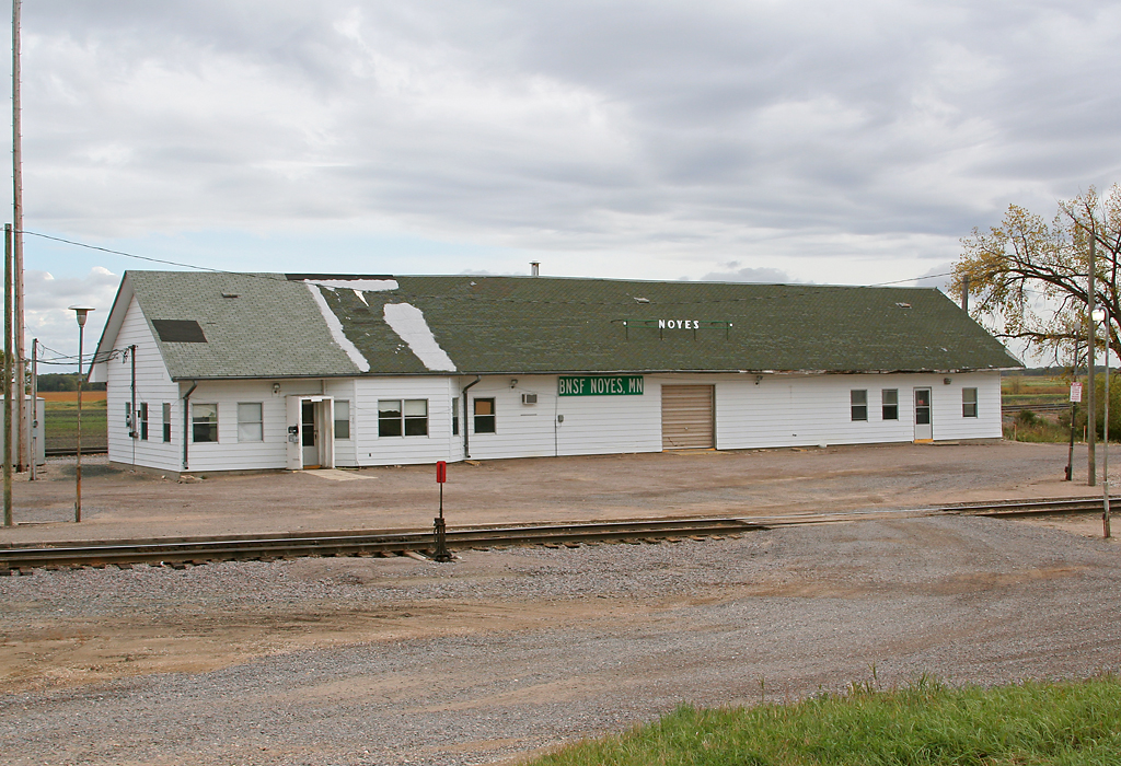
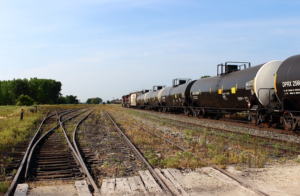
CP/BNSF Depot - Noyes, MN
Woodmore Hall

The Autumn Years

Border to Border 2013: The old border is shut down
EmersonMB 7-20-03
Baptist Church
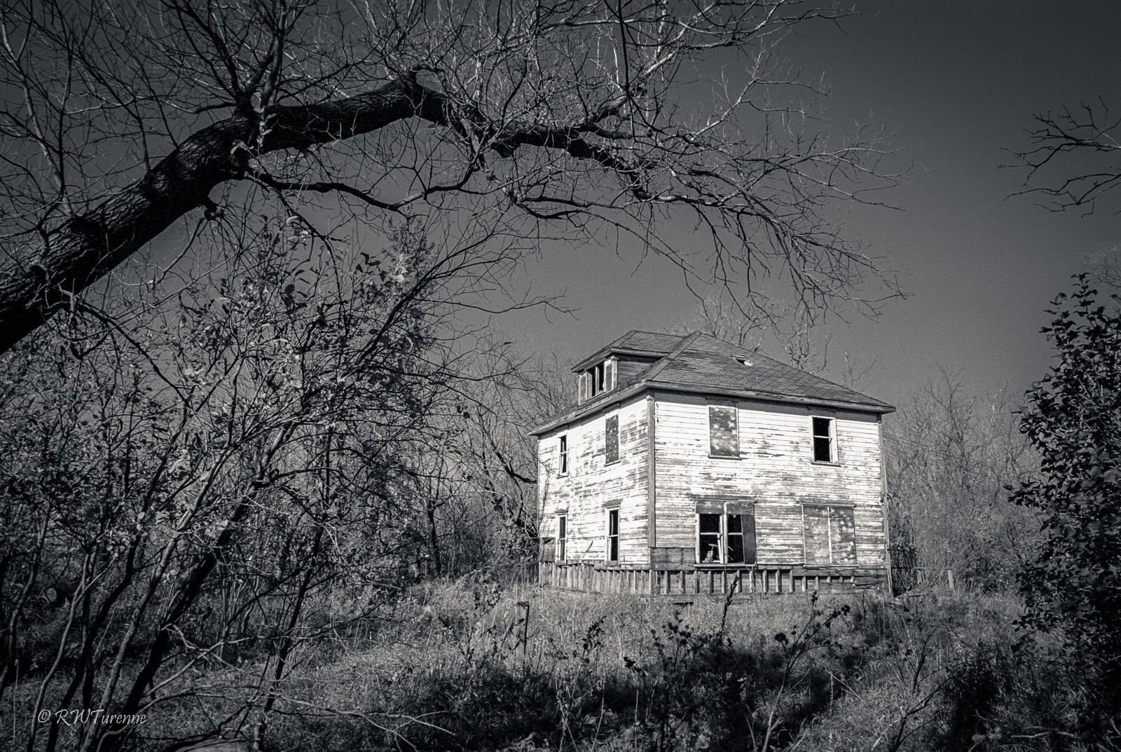
The White House
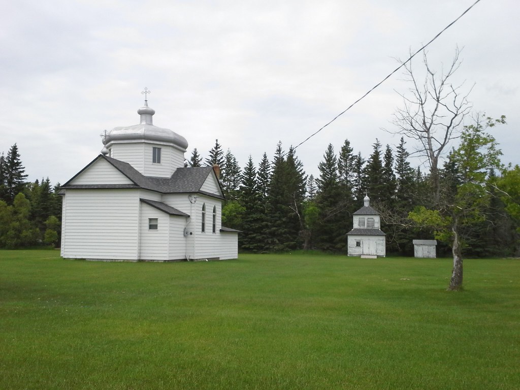
Church of the Sacred Heart of Jesus (20150613_125224)
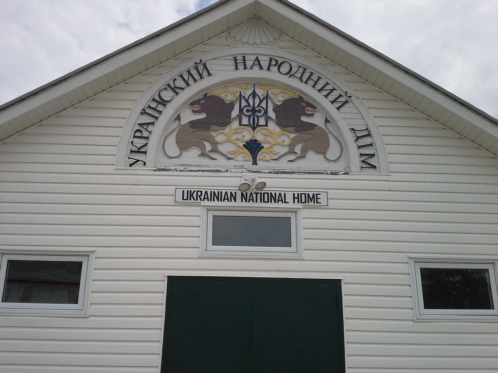
Ukrainian National Home (20150613_125747)
IMG_3685-1a
Chase #3

Chase #4
Chase #5
Chase #6 The End
IMG_3678-1a
1-IMG_2020-1
18-IMG_0939-BW
17-IMG_0943-BW
15-IMG_0906-1
14-IMG_0917-1

13-IMG_0920-BW
Topographic Map of 47 MB-, Ridgeville, MB R0A 1M0, Canada
Find elevation by address:

Places near 47 MB-, Ridgeville, MB R0A 1M0, Canada:
Ridgeville
Franklin
7 Provincial Trunk Hwy 59, Tolstoi, MB R0A 2E0, Canada
Tolstoi
Hallock
28 2nd St S, Hallock, MN, USA
Kittson County
Kennedy
4th St, Kennedy, MN, USA
Vita
Stuartburn
Lake Bronson
Main St, Lake Bronson, MN, USA
Commercial St, Donaldson, MN, USA
Donaldson
33477 390th Ave Nw
33477 390th Ave Nw
33477 390th Ave Nw
Bloomer Township
38 Woodland Dr, Menisino, MB R0A 1A0, Canada
Recent Searches:
- Elevation of Corso Fratelli Cairoli, 35, Macerata MC, Italy
- Elevation of Tallevast Rd, Sarasota, FL, USA
- Elevation of 4th St E, Sonoma, CA, USA
- Elevation of Black Hollow Rd, Pennsdale, PA, USA
- Elevation of Oakland Ave, Williamsport, PA, USA
- Elevation of Pedrógão Grande, Portugal
- Elevation of Klee Dr, Martinsburg, WV, USA
- Elevation of Via Roma, Pieranica CR, Italy
- Elevation of Tavkvetili Mountain, Georgia
- Elevation of Hartfords Bluff Cir, Mt Pleasant, SC, USA