Elevation of 47 Deaf Smith St, Port Lavaca, TX, USA
Location: United States > Texas > Calhoun County > Port Lavaca >
Longitude: -96.564083
Latitude: 28.676011
Elevation: 5m / 16feet
Barometric Pressure: 101KPa
Elevation Map:
Satellite Map:
Related Photos:
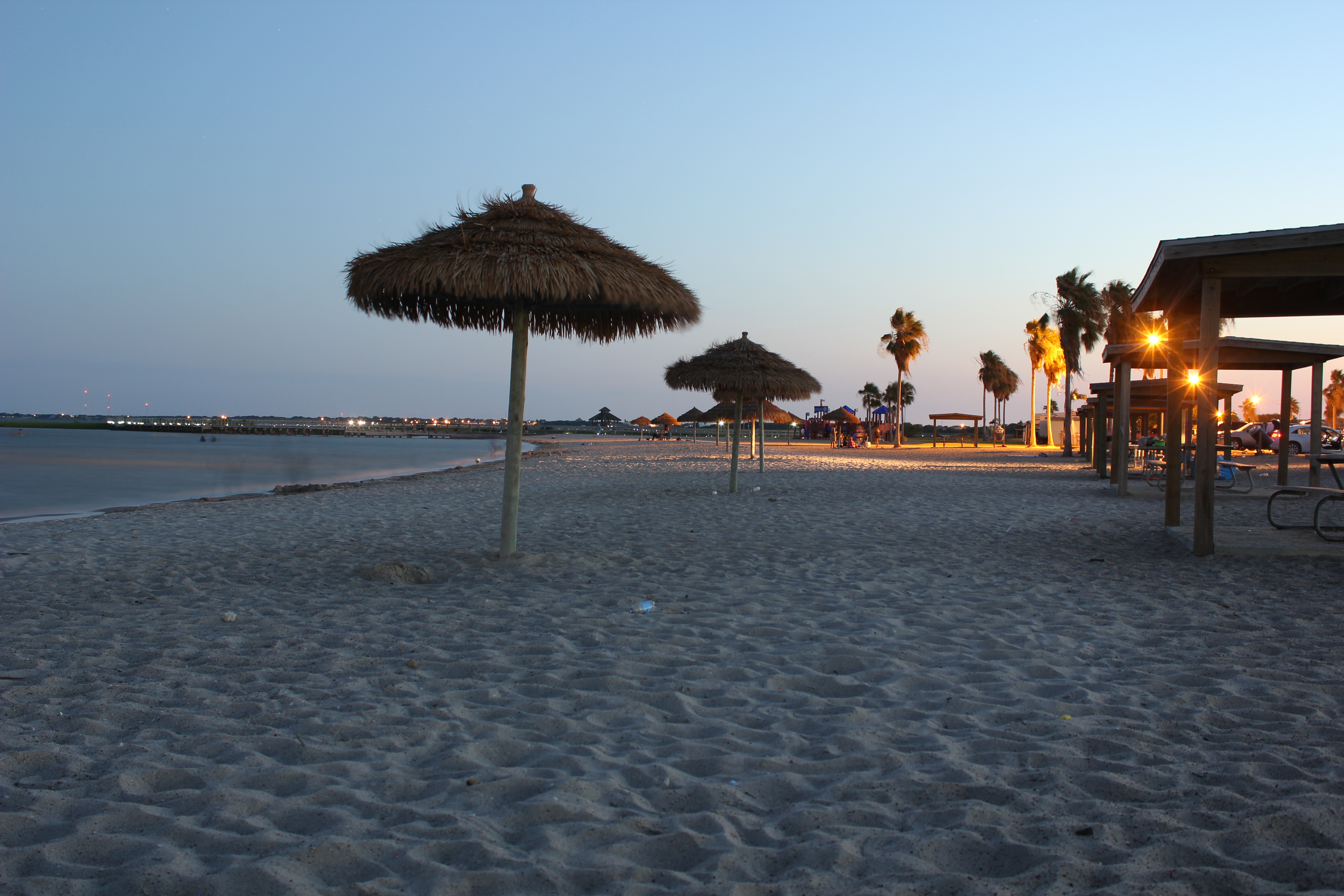
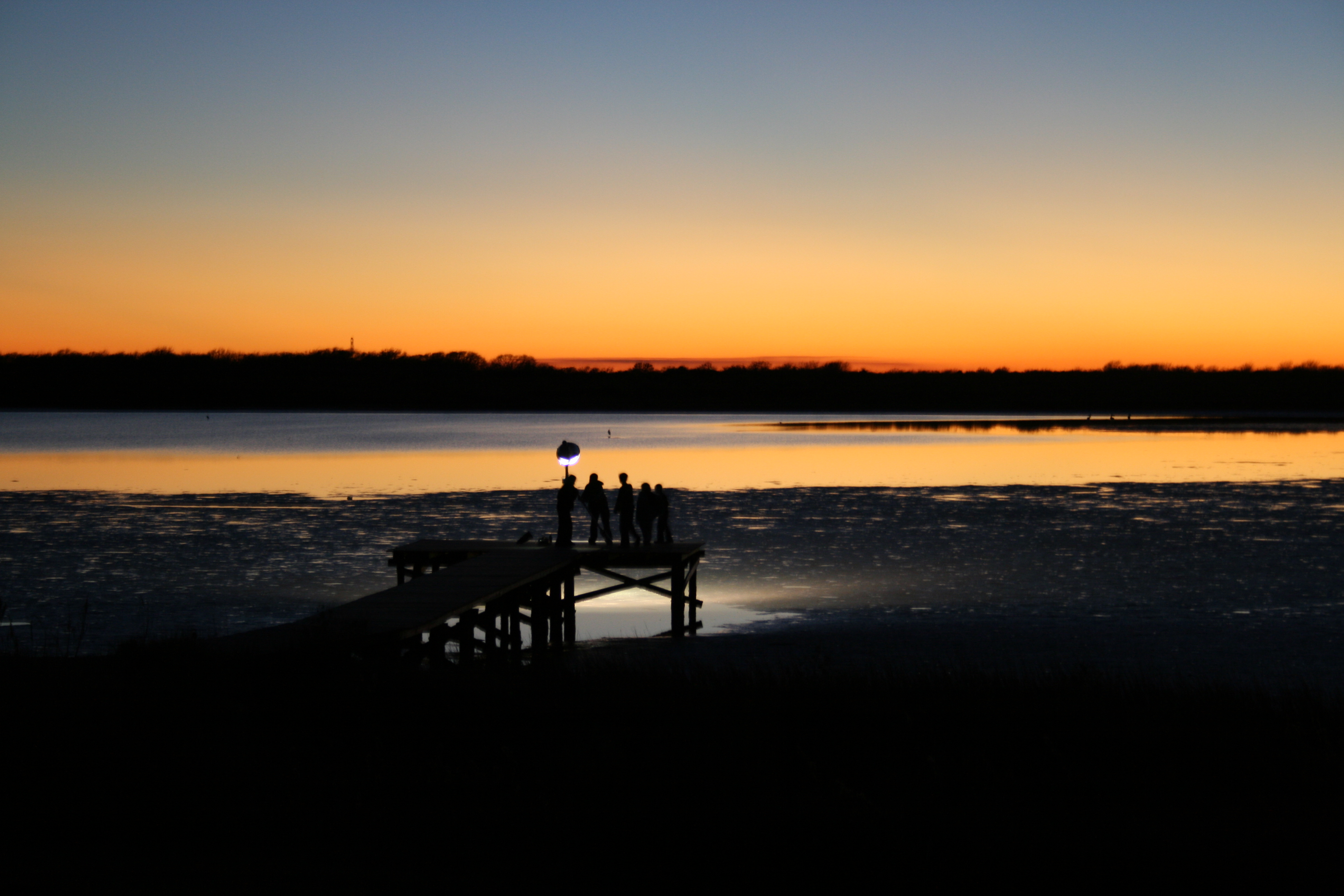
The Sunset at the Beachouse
Beautiful Colors
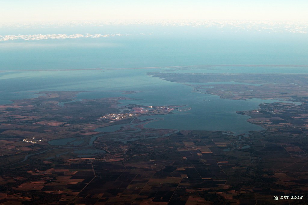
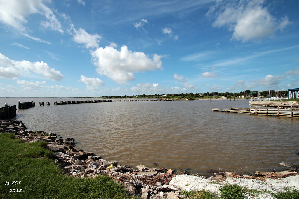
Lavaca Bay
Boardwalk View
The View from the Beachhouse
The Griffin's Pier
Port La Vaca

16 Sun Set
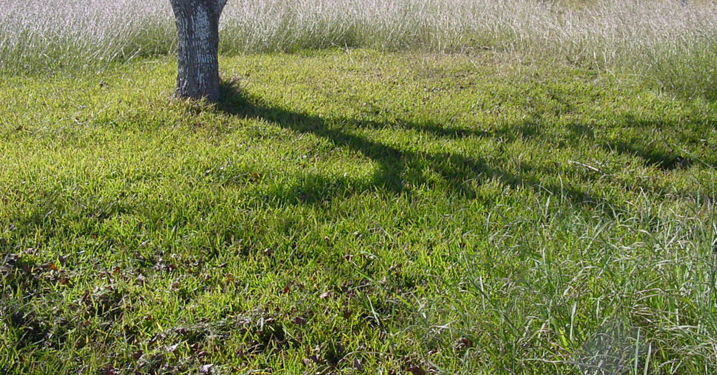
tree shadow
FF10-68
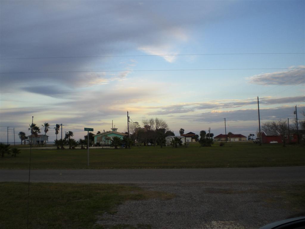
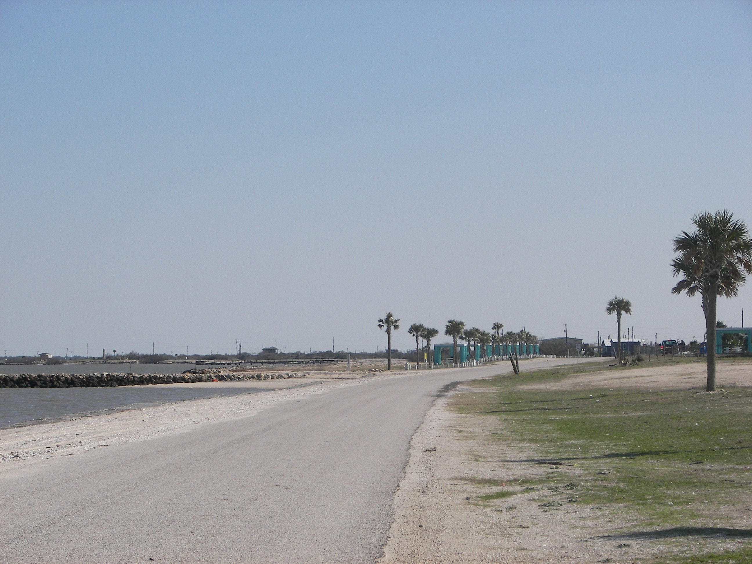
Port Lavaca, Texas

Port Lavaca, Texas

Port Lavaca, Texas
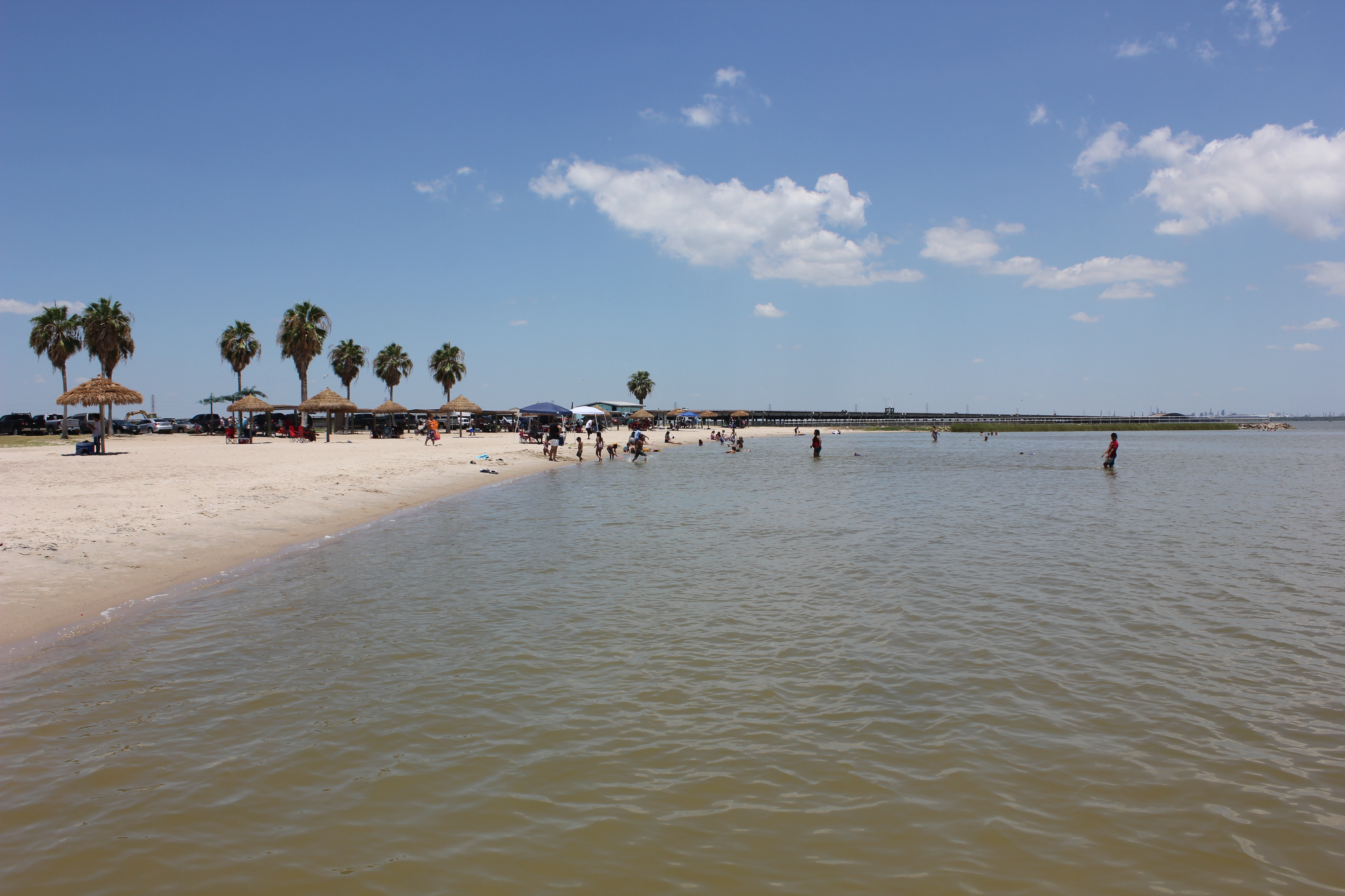
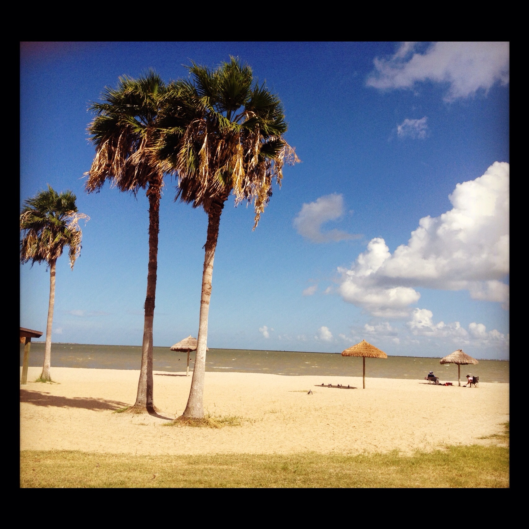
Port Lavaca Beach
Port Lavaca, Texas

Port Lavaca, Texas

Sunrise on Keller Bay
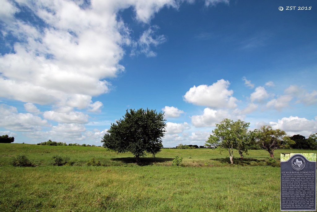
Historical Marker
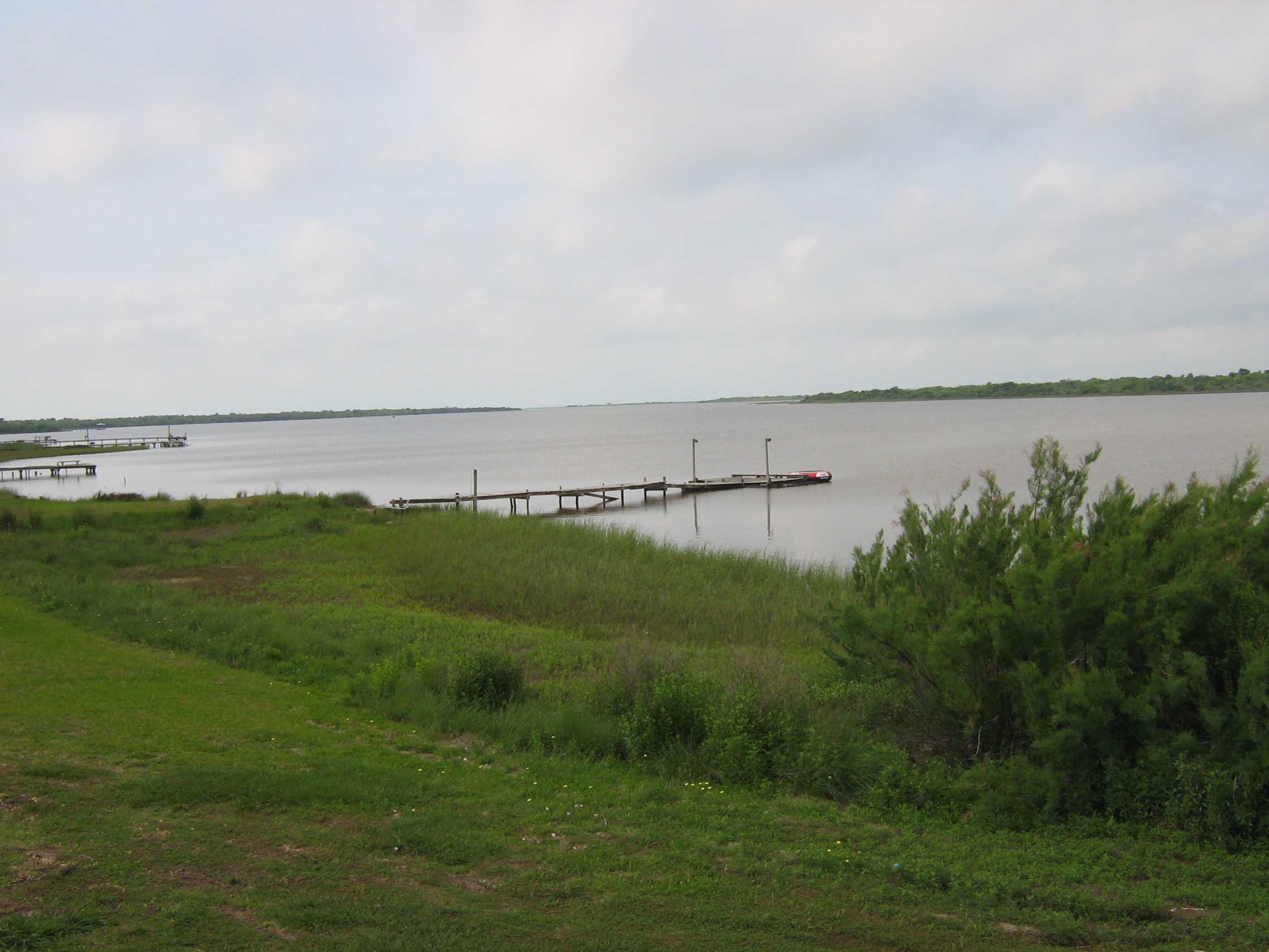
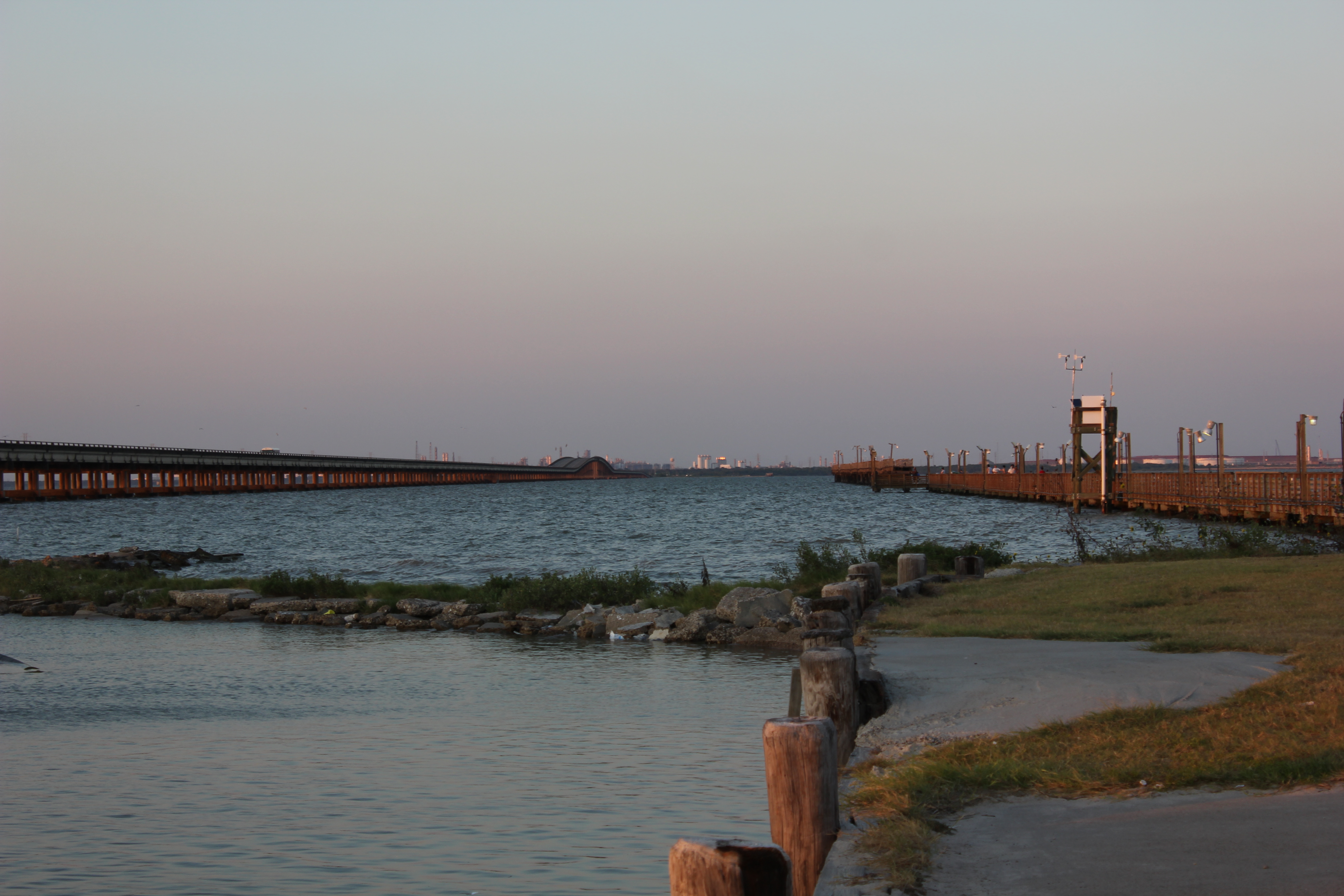
Harbor @ Lavaca
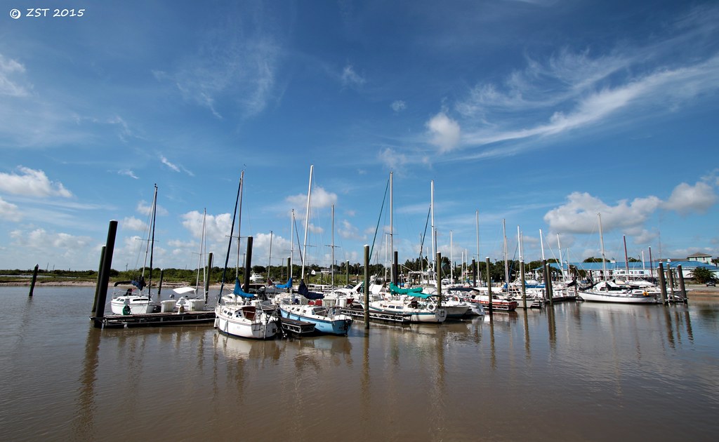
Marina @ Lavaca

Clapper Rail Response
#InstaSize #Lolita #Texas I do believe I am relocating to the #LoneStar.

Swamp Sparrow
Keller Bay
Topographic Map of 47 Deaf Smith St, Port Lavaca, TX, USA
Find elevation by address:

Places near 47 Deaf Smith St, Port Lavaca, TX, USA:
139 Heron St
228 Sunrise Bay Dr
228 Sunrise Bay Dr
County Road 305
1 Windswept Dr
1 Windswept Dr
1 Windswept Dr
900 Bayview Dr
925 W Bayshore Dr
925 W Bayshore Dr
989 Bayview Dr
989 Bayview Dr
989 Bayview Dr
989 Bayview Dr
990 Bayview Dr
990 Bayview Dr
438 Calumet Dr
338 Calumet Dr
7385 County Rd 426
205 Buckskin Dr
Recent Searches:
- Elevation of Norfolk, NY, USA
- Elevation of - San Marcos Pass Rd, Santa Barbara, CA, USA
- Elevation of th Pl SE, Issaquah, WA, USA
- Elevation of 82- D Rd, Captain Cook, HI, USA
- Elevation of Harlow CM20 2PR, UK
- Elevation of Shenyang Agricultural University, Dong Ling Lu, Shen He Qu, Shen Yang Shi, Liao Ning Sheng, China
- Elevation of Alpha Dr, Melbourne, FL, USA
- Elevation of Hiroshima University, 1-chōme-3-2 Kagamiyama, Higashihiroshima, Hiroshima -, Japan
- Elevation of Bernina Dr, Lake Arrowhead, CA, USA
- Elevation of N 82nd Pl, Mesa, AZ, USA