Elevation of 46 Union Dr, Ashford, CT, USA
Location: United States > Connecticut > Windham County > Ashford >
Longitude: -72.195434
Latitude: 41.9433036
Elevation: 289m / 948feet
Barometric Pressure: 98KPa
Elevation Map:
Satellite Map:
Related Photos:

CT Northern Lapwing Success!!! Two Happy Birders, Horsebarn Hill Road, and the Hill.

Rear view sunset

61/365 3-2-11 Horse Barn Hill

Atrium Light

Kellogg's Puzzle

Willington Pizza plates

WP_20140824_10_51_10_Raw.jpg

Kellogg's Puzzle

Giant Nature

DSC_7158 (2)

CSC_7297 (5)

CSC_7312 (2)

Part of the lot for WBM

DSC_6820 (2)

DSC_7137 (2)

So high up!
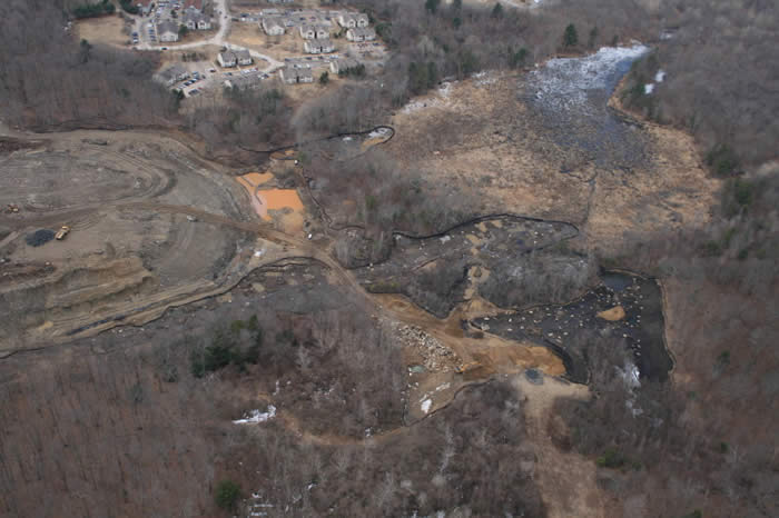
landfill-04-2007_24
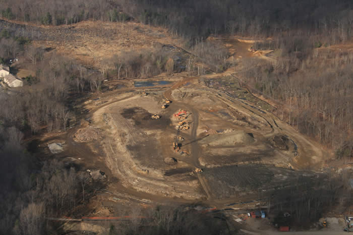
landfill-12-2006_05
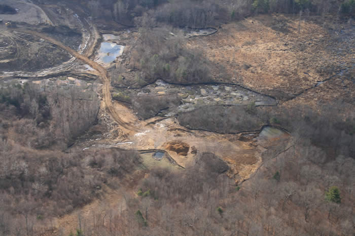
landfill-12-2006_07

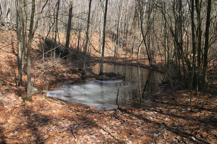
landfill-10-2006_20
landfill-03-2008_14
Topographic Map of 46 Union Dr, Ashford, CT, USA
Find elevation by address:

Places near 46 Union Dr, Ashford, CT, USA:
267 Ference Rd
55 Ference Rd
126 Barrows Rd
Westford Hill Cemetery
89 Potter School Rd
28 Fermier Rd
149 Turnpike Rd
419 Zaicek Rd
1 Bradway Rd
Amidon Road
Union
1014 Buckley Hwy
34 Cemetery Rd
Stafford Springs Reservoir Number 2
196 Buckley Hwy
22 Seckar Rd
479 Tolland Turnpike
228 Ruby Rd
Seles Road
386 East St
Recent Searches:
- Elevation of Groblershoop, South Africa
- Elevation of Power Generation Enterprises | Industrial Diesel Generators, Oak Ave, Canyon Country, CA, USA
- Elevation of Chesaw Rd, Oroville, WA, USA
- Elevation of N, Mt Pleasant, UT, USA
- Elevation of 6 Rue Jules Ferry, Beausoleil, France
- Elevation of Sattva Horizon, 4JC6+G9P, Vinayak Nagar, Kattigenahalli, Bengaluru, Karnataka, India
- Elevation of Great Brook Sports, Gold Star Hwy, Groton, CT, USA
- Elevation of 10 Mountain Laurels Dr, Nashua, NH, USA
- Elevation of 16 Gilboa Ln, Nashua, NH, USA
- Elevation of Laurel Rd, Townsend, TN, USA