Elevation of 44- Kalaniai Rd, Honokaa, HI, USA
Location: United States > Hawaii > Hawaii County > Honokaa >
Longitude: -155.43691
Latitude: 20.0407633
Elevation: 611m / 2005feet
Barometric Pressure: 94KPa
Elevation Map:
Satellite Map:
Related Photos:

I Could Really Use A Pepsi

Dancing In The Street

She Dared Me

Good Morning

Pop Fly - A Ball's Eye View

The view from our bed

HW7692IMG_3551.JPG

View of House From Up Above
HW4542IMG_1796.JPG

Green meets Blue
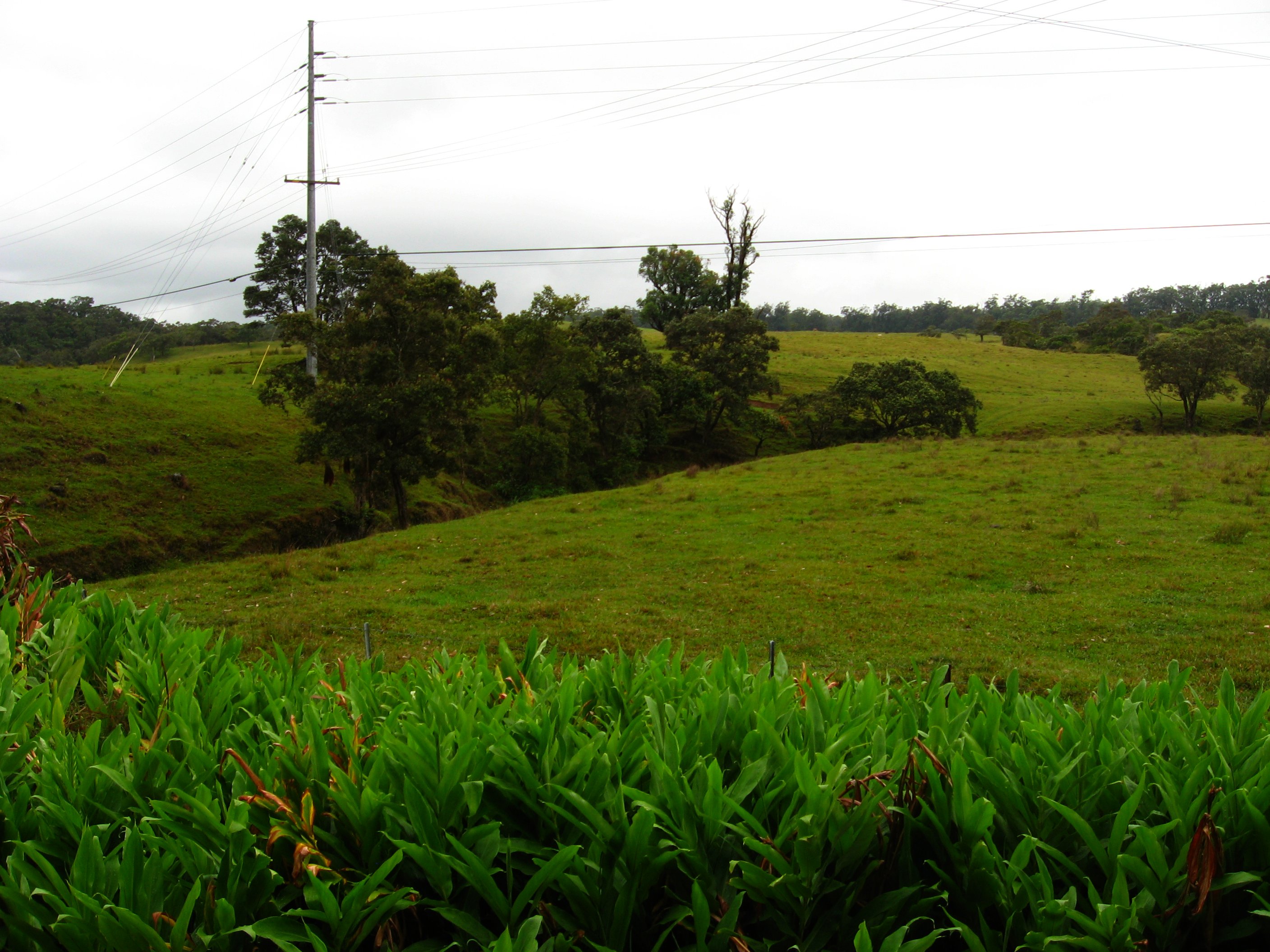
State Route 19 Between Waimea and Honoka'a, Hawaii

Forest on State Route 19, near Honoka'a, Hawaii
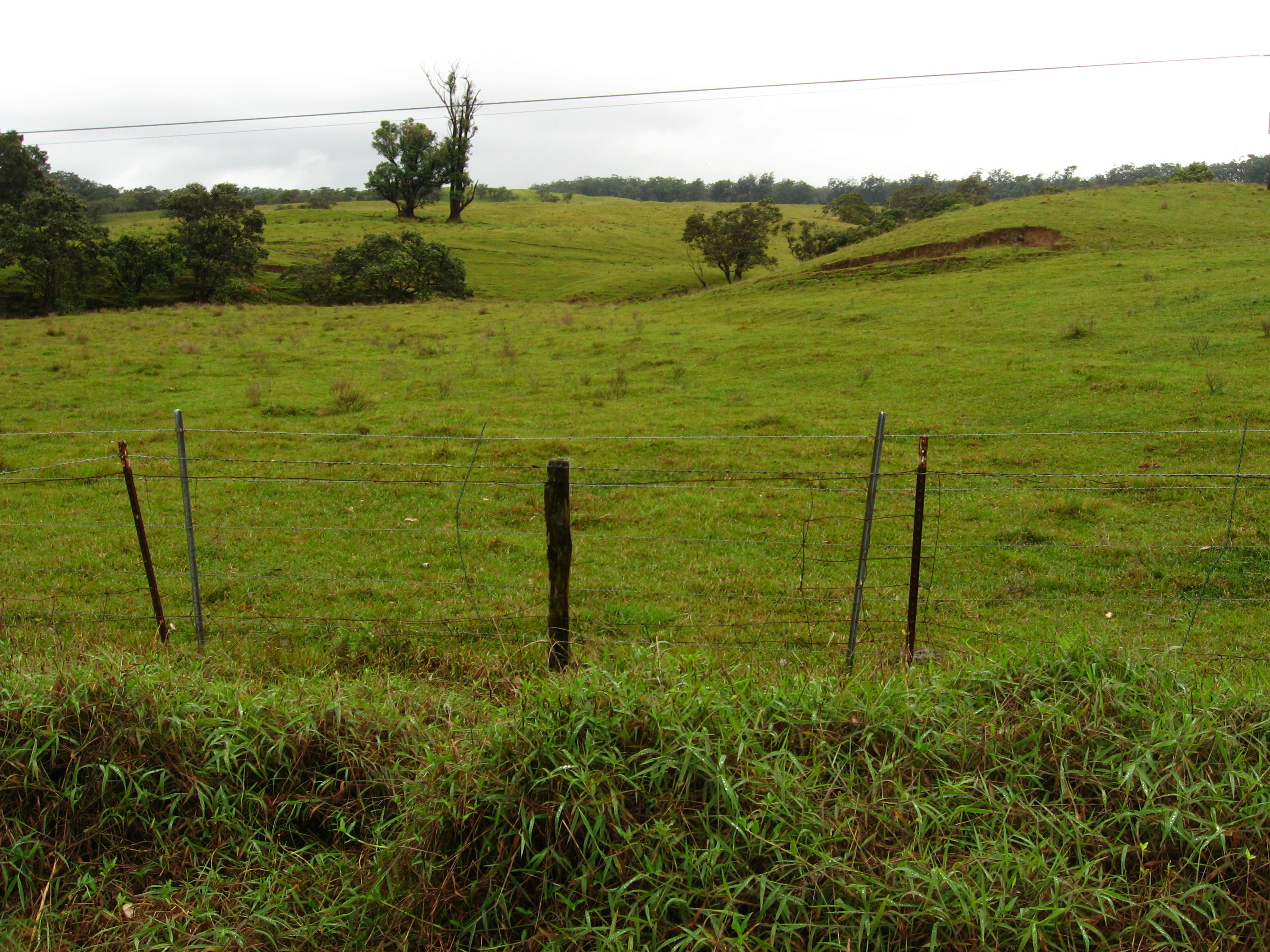
State Route 19 Between Waimea and Honoka'a, Hawaii

State Route 19 Between Waimea and Honoka'a, Hawaii

Waimanu Bay

Big Island
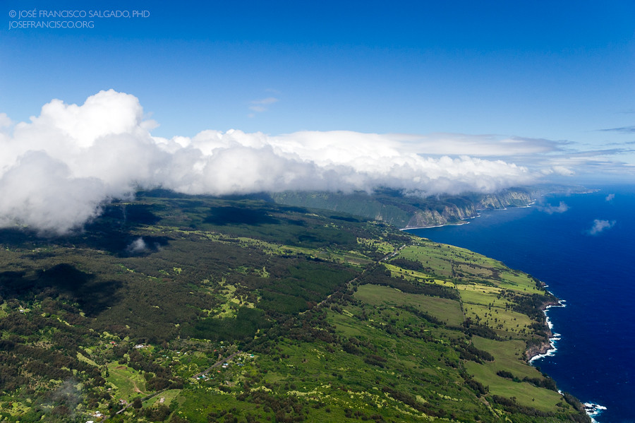
Clouds over the Hamakua coast

Clouds over the Hamakua coast - II

Not Kentucky

The Milky Way in Hilo,Hawaii

So peaceful!

Waimanu Bay

Big Island forest

The ever crumbling coastline

Shining like a national guitar

Honeymoon in Hawaii. So original.

The cow goes moo!

The Forest meets the beach. :)

Kalopa State Recreation Area

Parker Ranch Cows
Topographic Map of 44- Kalaniai Rd, Honokaa, HI, USA
Find elevation by address:

Places near 44- Kalaniai Rd, Honokaa, HI, USA:
44-3348 Kalaniai Rd
44-2885 Kalopa Mauka Rd
44-3182 Ho'o Kahua Rd
44-3011 Kalaniai Rd
44-3180 Ho'o Kahua Rd
44-3180 Ho'o Kahua Rd
44-3180 Ho'o Kahua Rd
44-3118 Ho'o Kahua Rd
44-3176 Ho'o Kahua Rd
44-3176 Ho'o Kahua Rd
44-2756 Kalopa Mauka Rd
44-2756 Kalaniai Rd
44-2633 Kalopa Mauka Rd
44-2610 Kalopa Mauka Rd
44-2585 Kalaniai Rd
45-3461 Kahana Dr
45-3287 Kou St
45-3503 Kahana Dr
45-3292 Kamani St
44-243 Hoolauae St
Recent Searches:
- Elevation of Spaceport America, Co Rd A, Truth or Consequences, NM, USA
- Elevation of Warwick, RI, USA
- Elevation of Fern Rd, Whitmore, CA, USA
- Elevation of 62 Abbey St, Marshfield, MA, USA
- Elevation of Fernwood, Bradenton, FL, USA
- Elevation of Felindre, Swansea SA5 7LU, UK
- Elevation of Leyte Industrial Development Estate, Isabel, Leyte, Philippines
- Elevation of W Granada St, Tampa, FL, USA
- Elevation of Pykes Down, Ivybridge PL21 0BY, UK
- Elevation of Jalan Senandin, Lutong, Miri, Sarawak, Malaysia