Elevation of 42 Peterson Ln, Green Mountain, NC, USA
Location: United States > North Carolina > Mitchell County > Bradshaw >
Longitude: -82.318098
Latitude: 36.02681
Elevation: 629m / 2064feet
Barometric Pressure: 94KPa
Elevation Map:
Satellite Map:
Related Photos:

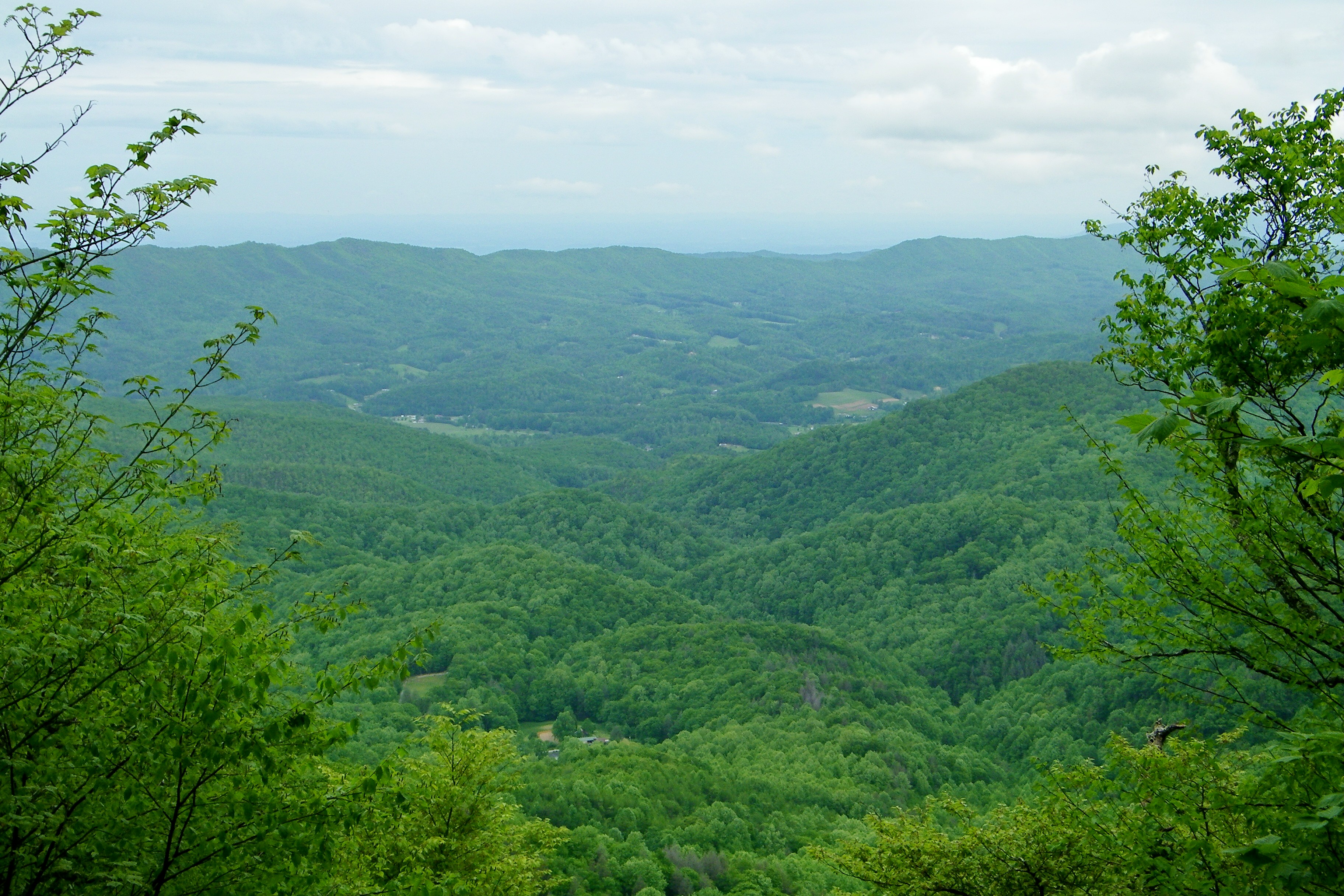
Bald Mountain
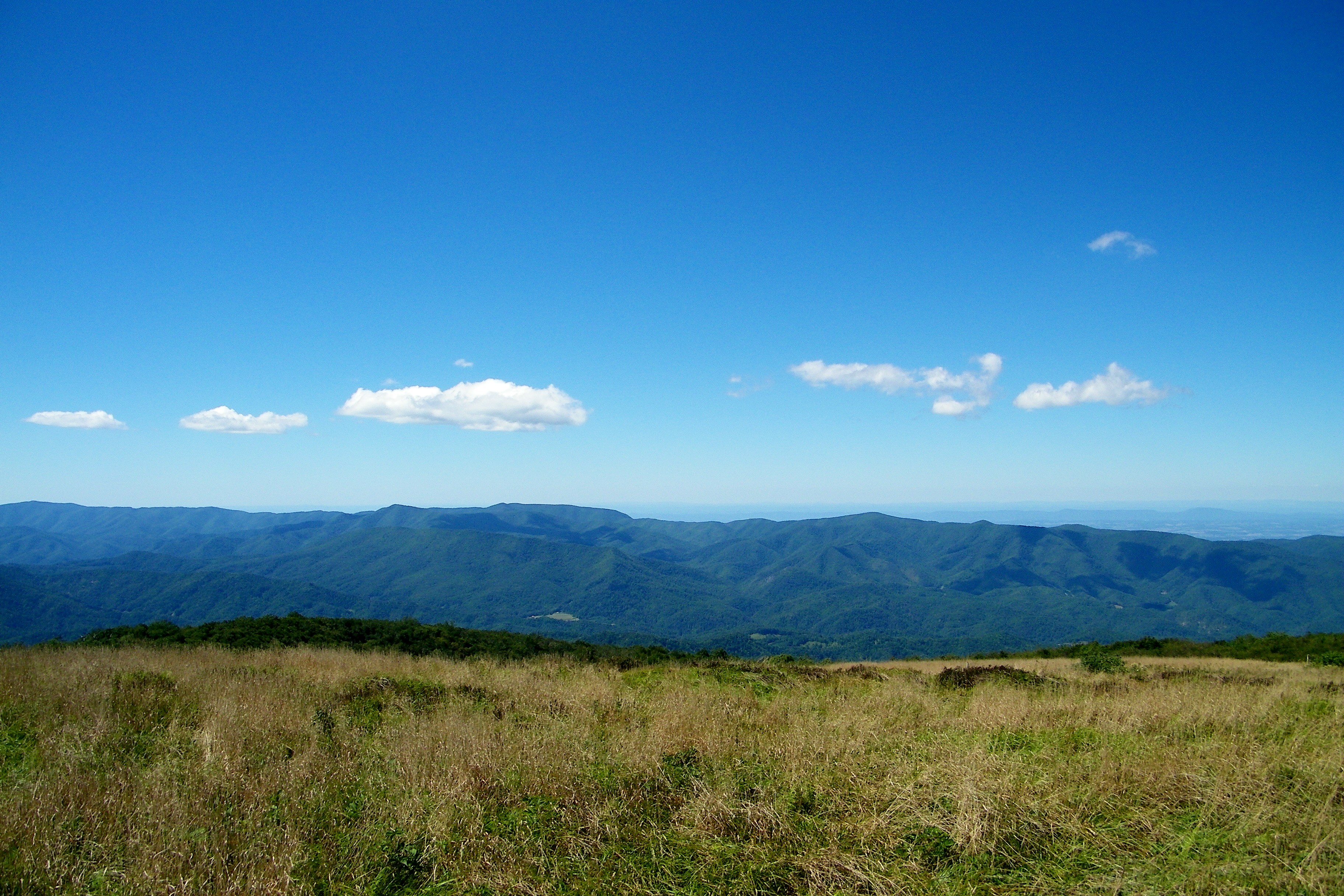
Bald Mountain
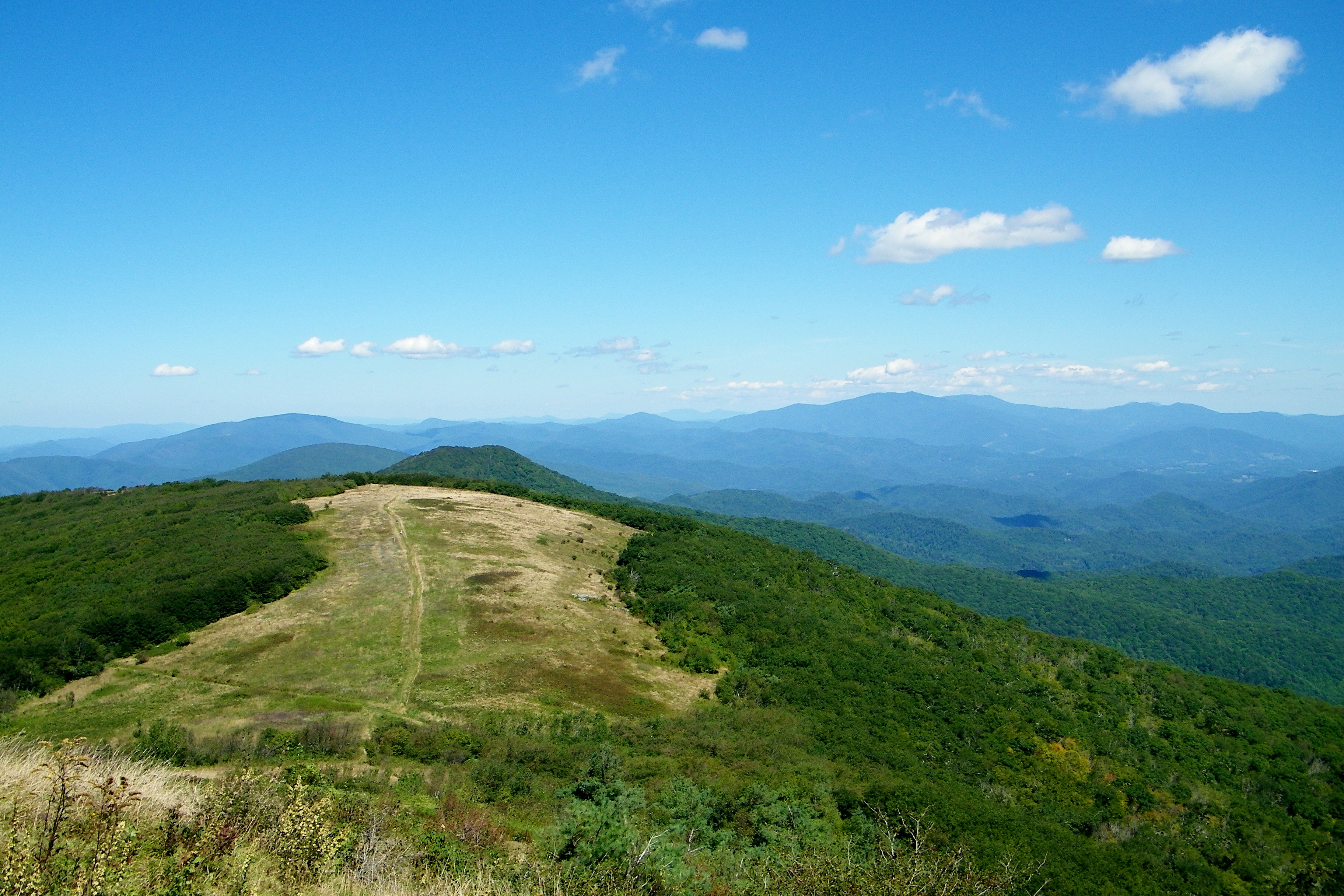
Bald Mountain

Bald Mountain

Wolf Laurel Ski Resort

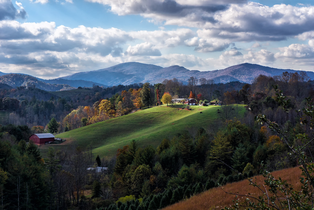
Summer Retreat with Hill of Flowers

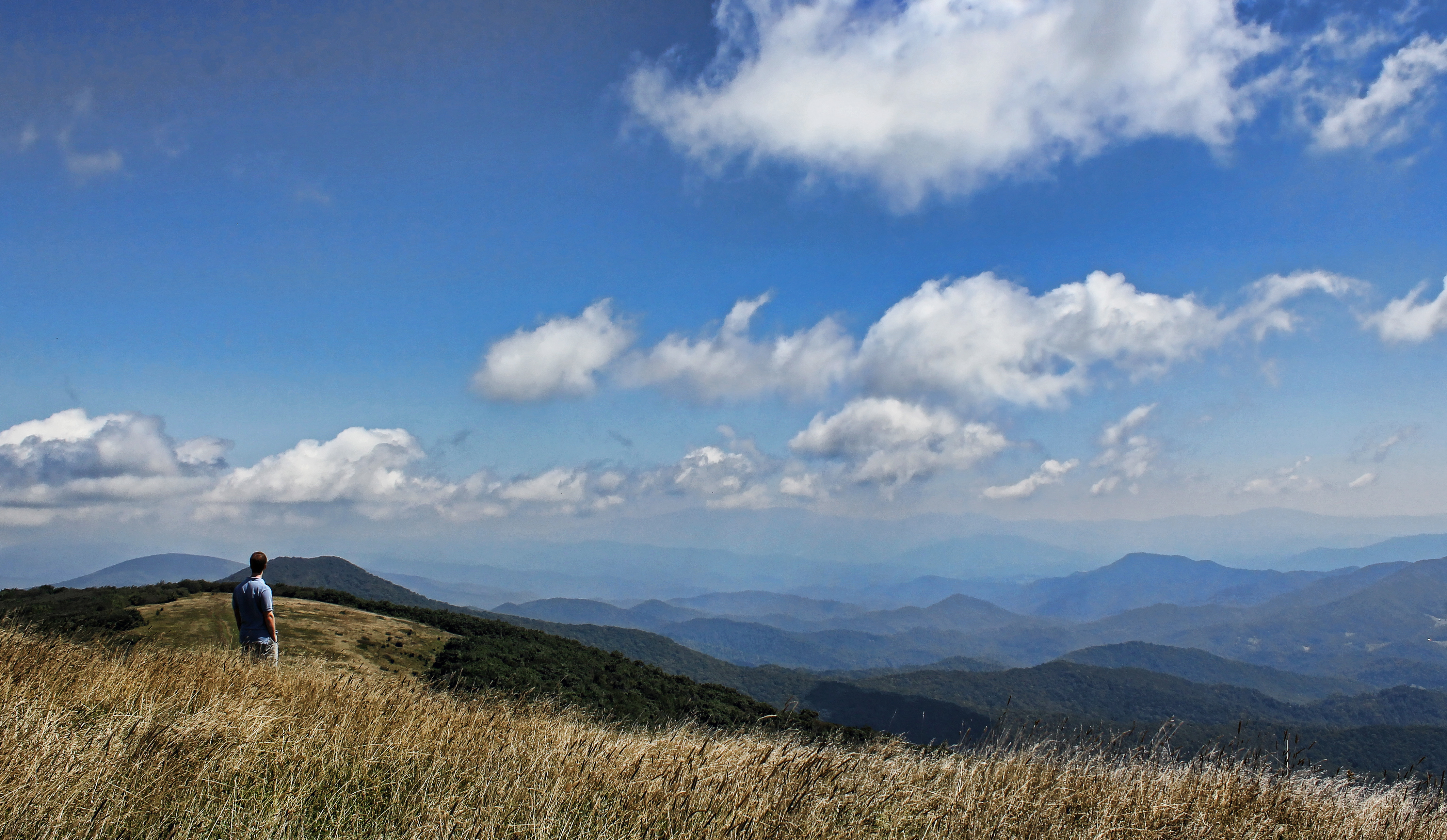
Take In The View

THE MUMMY 3
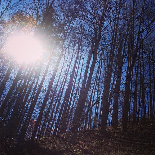
View from the top of the peak

Mount Mitchell
View-Top of Lost Cove
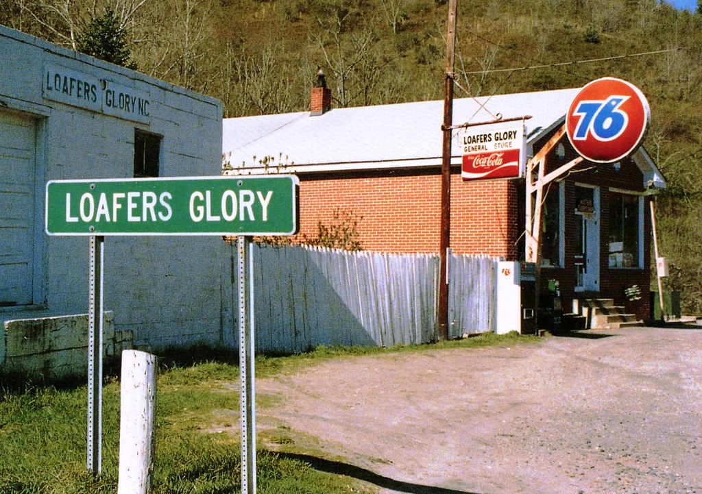
Loafers Glory
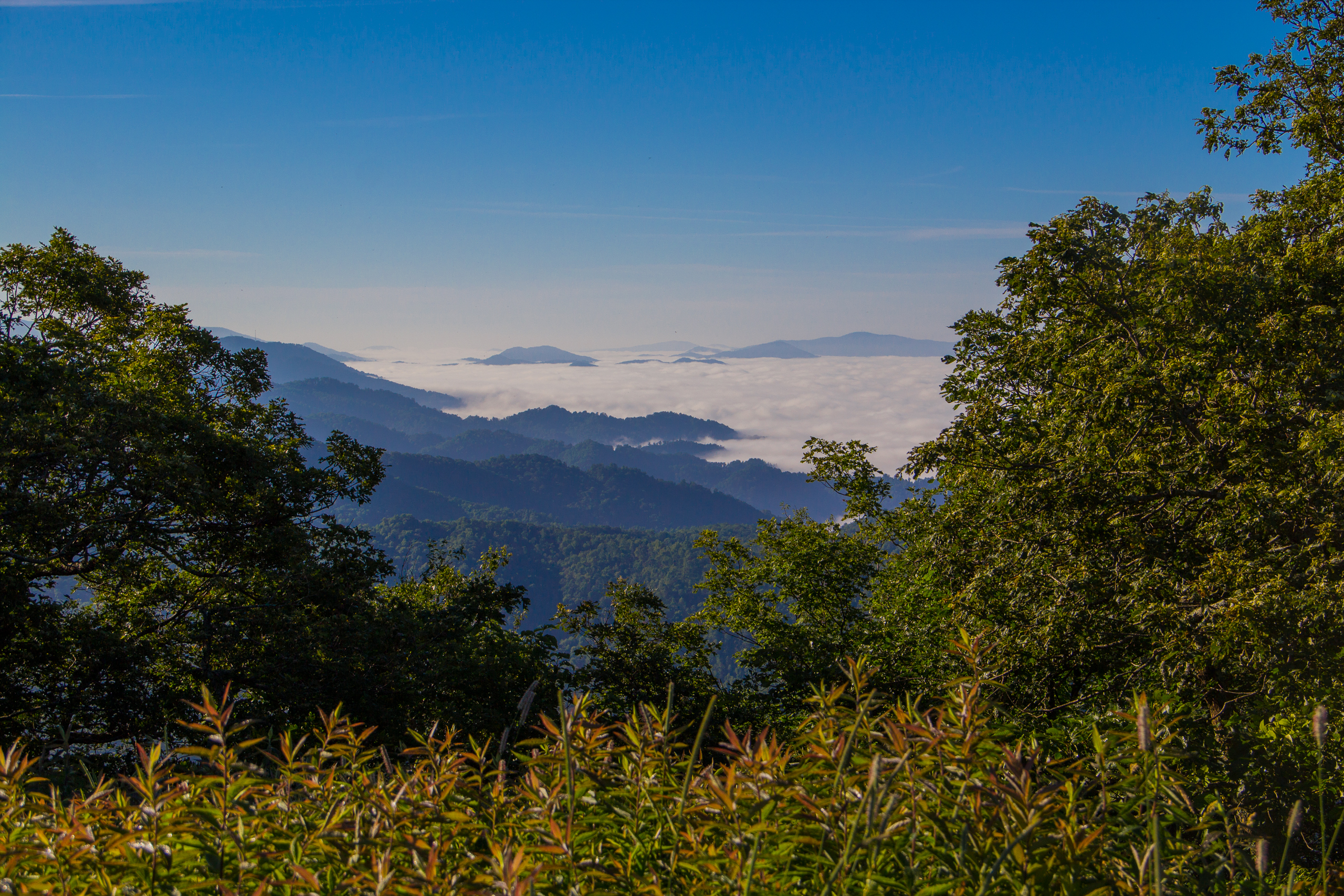
Fog Below Roan Mountain, Pisgah National Forest, North Carolina
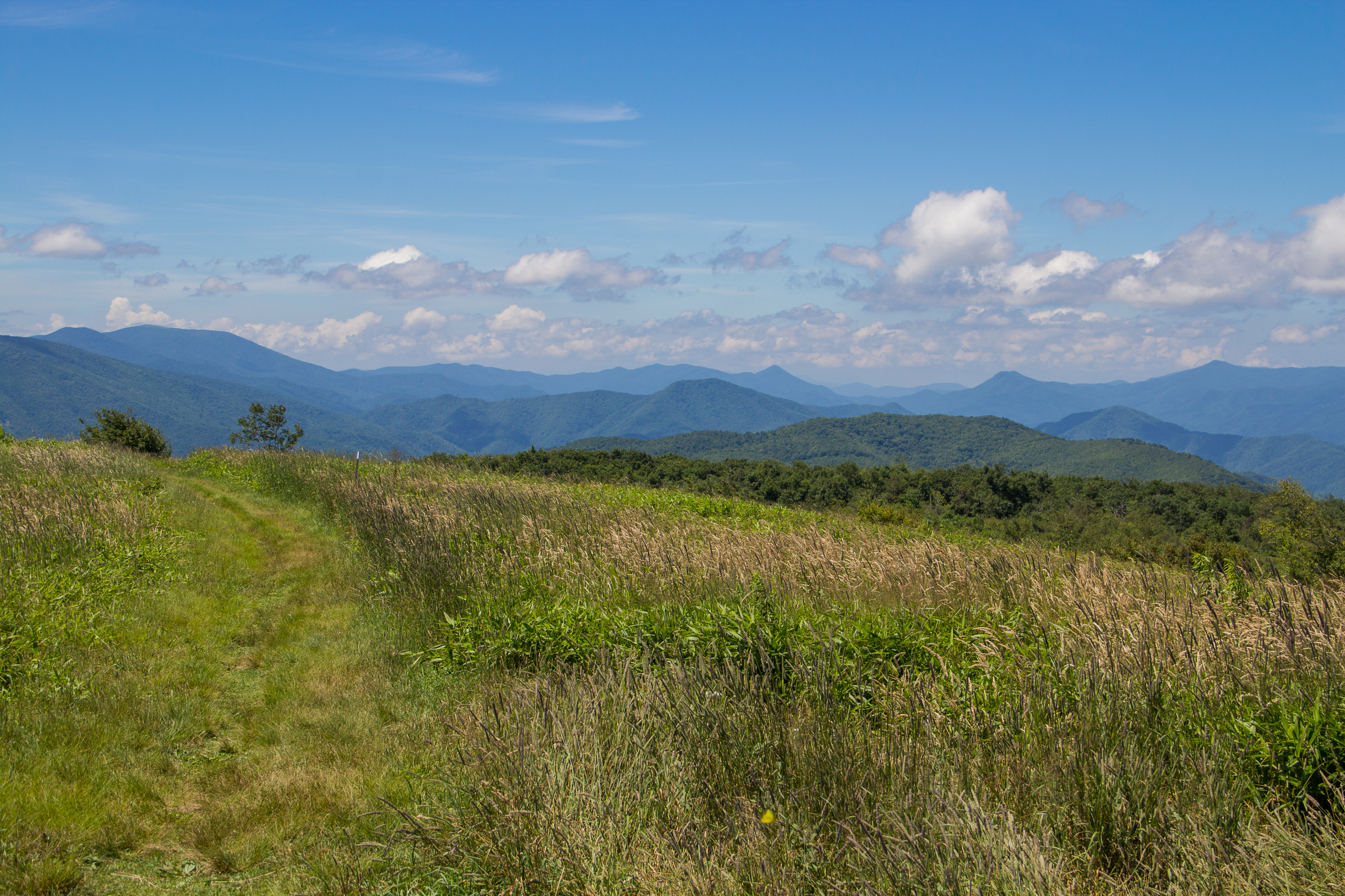
Beauty Spot, Appalachian Trail, Cherokee National Forest, Tennessee
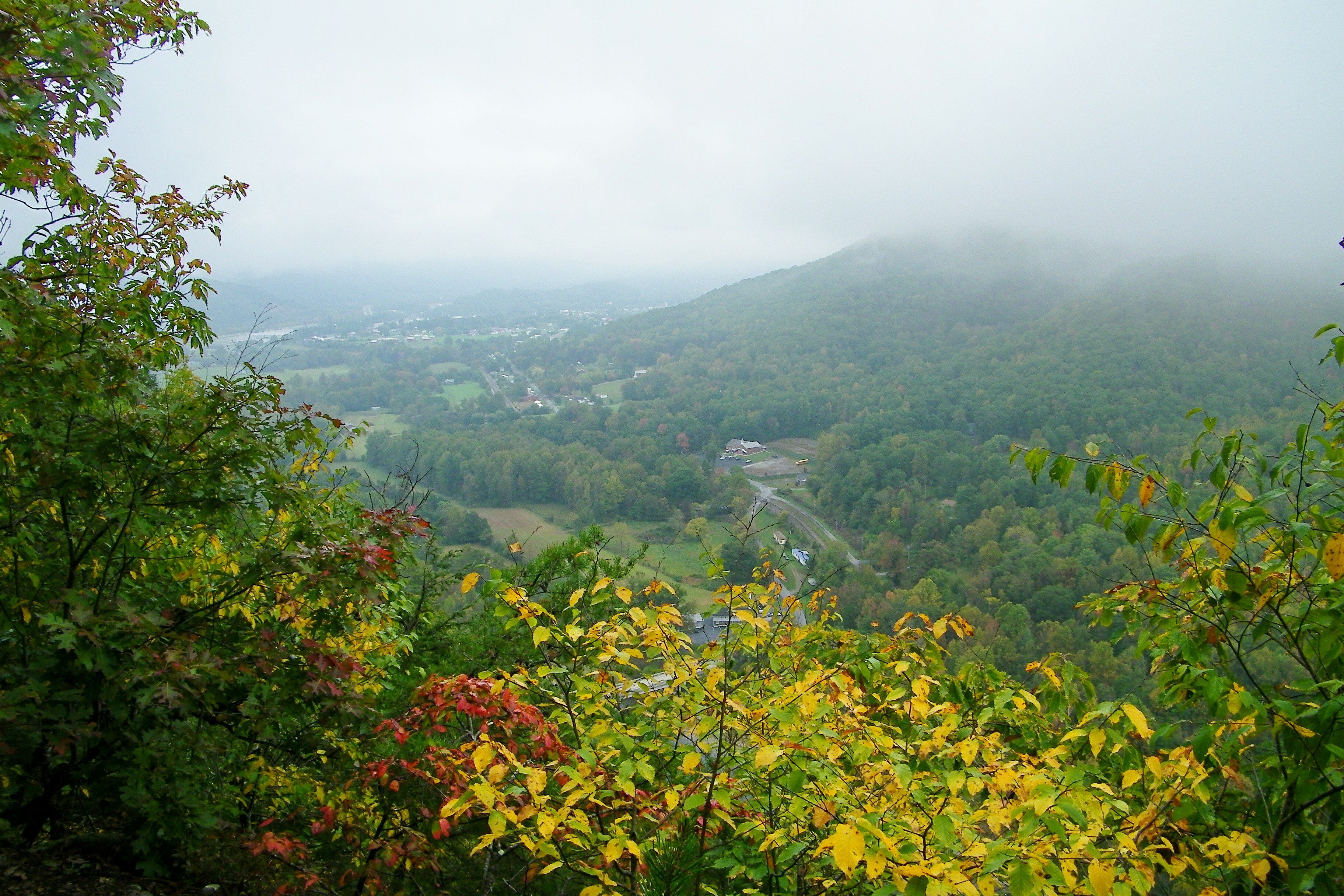
Erwin, TN
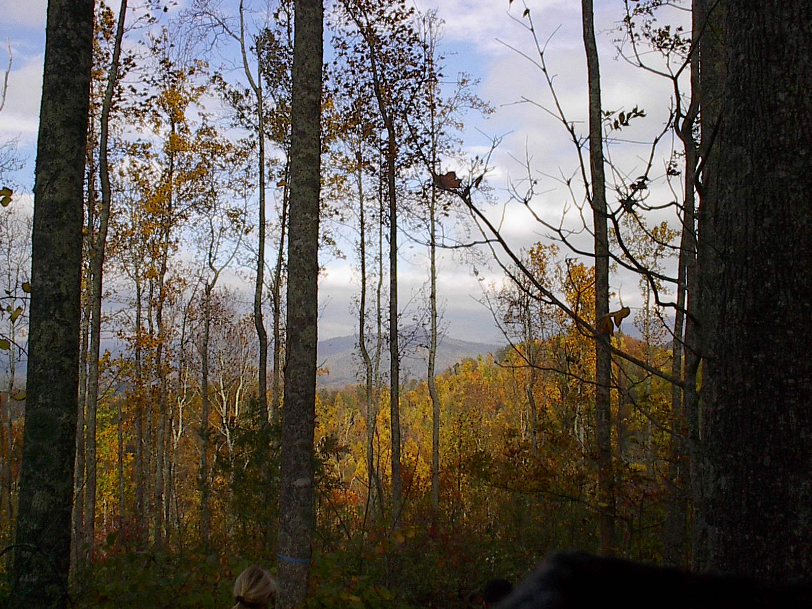
Appalachian Trail
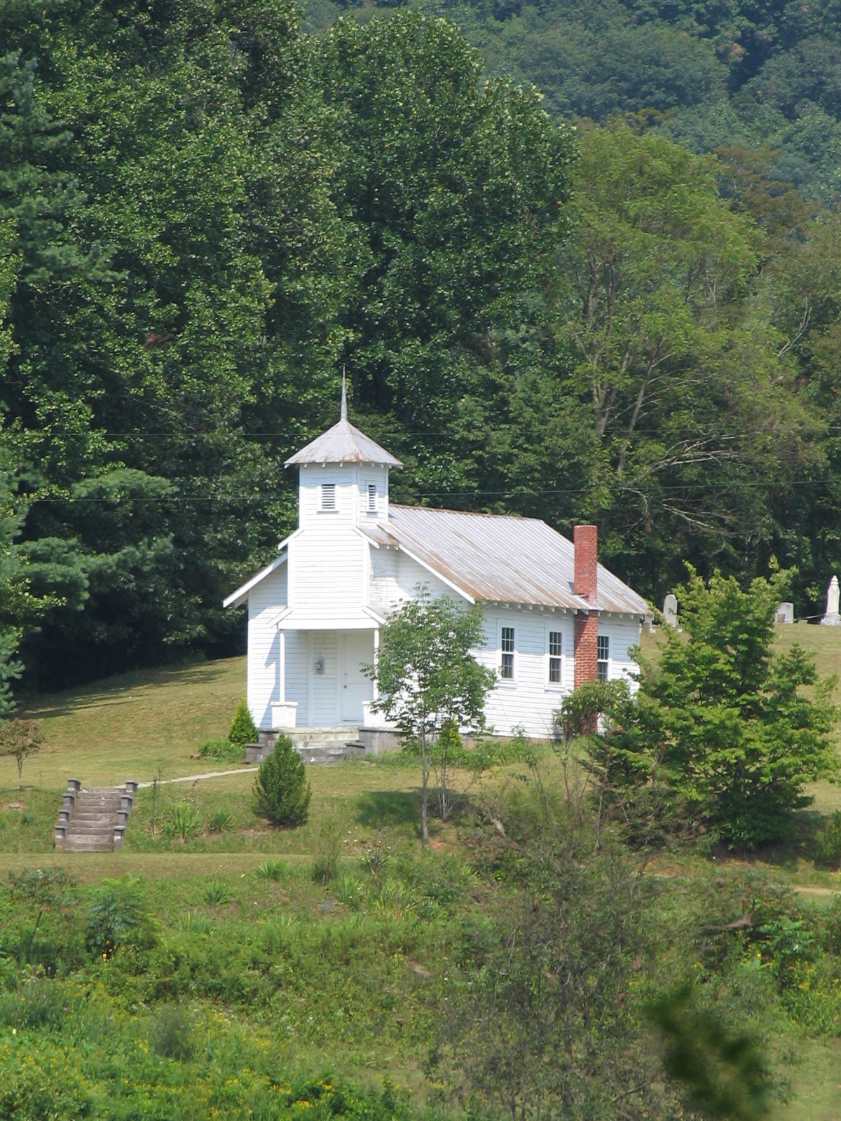
A rural mountain church in Kona, NC
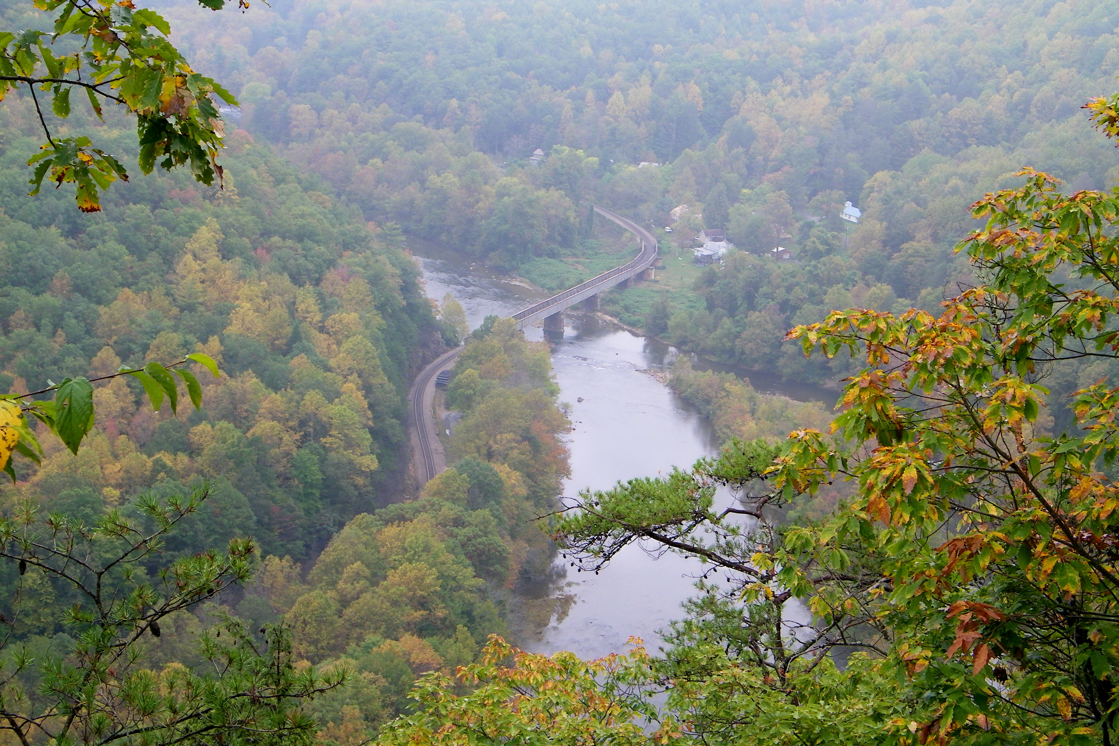
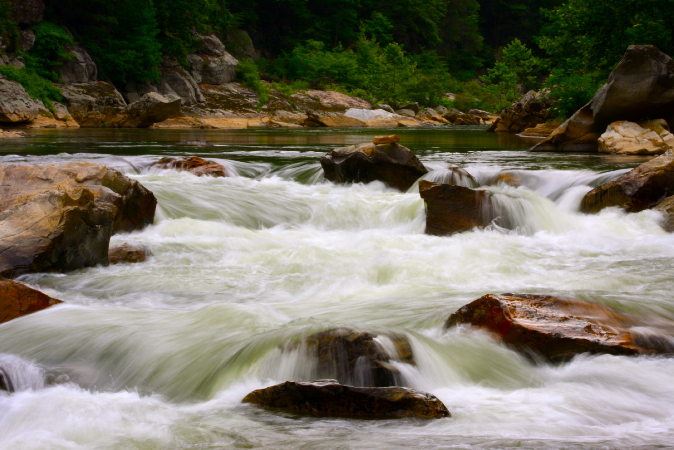
Railroad Trestle over the Nolichucky River
Appalachian Trail
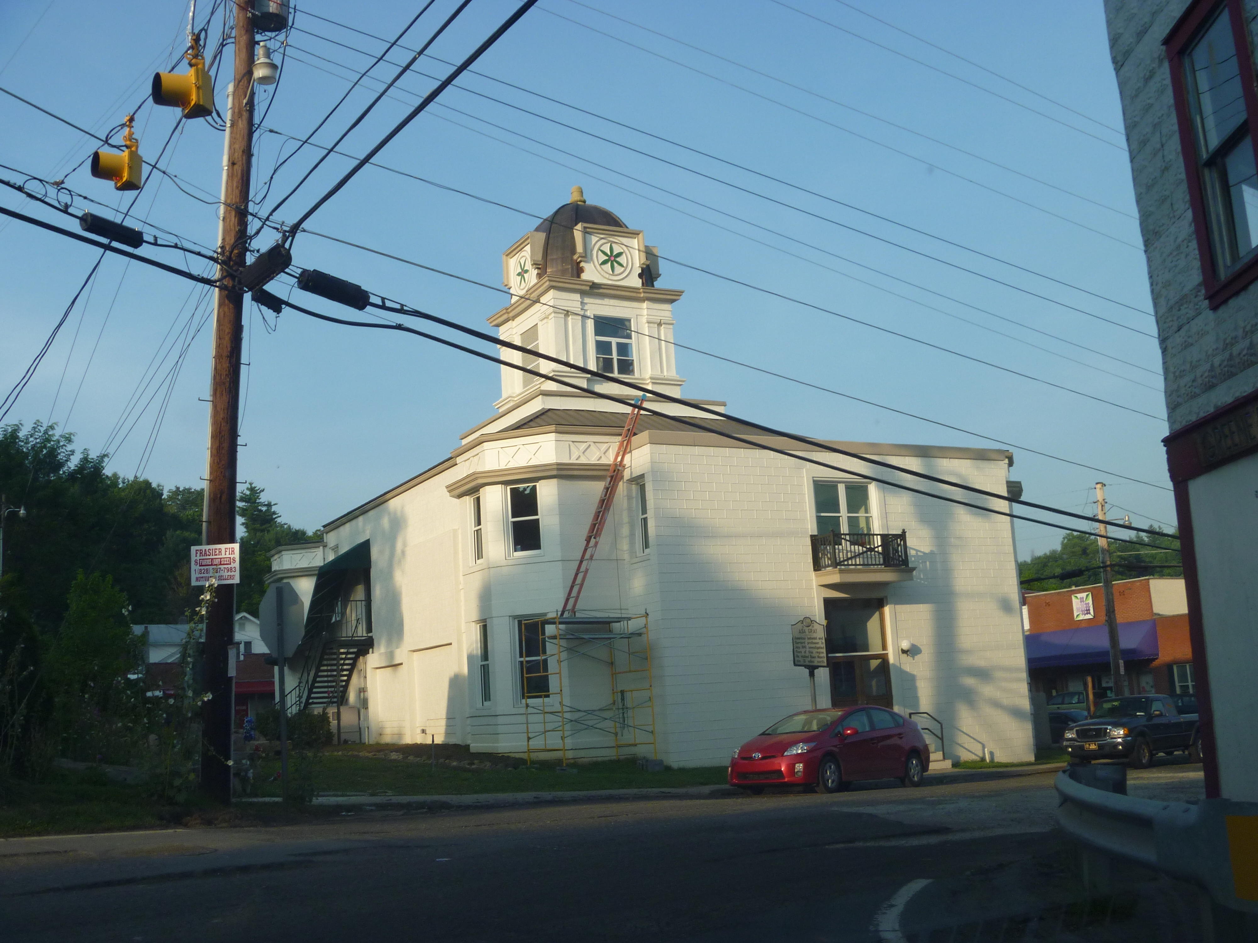
Side View Of Mitchell County Courthouse
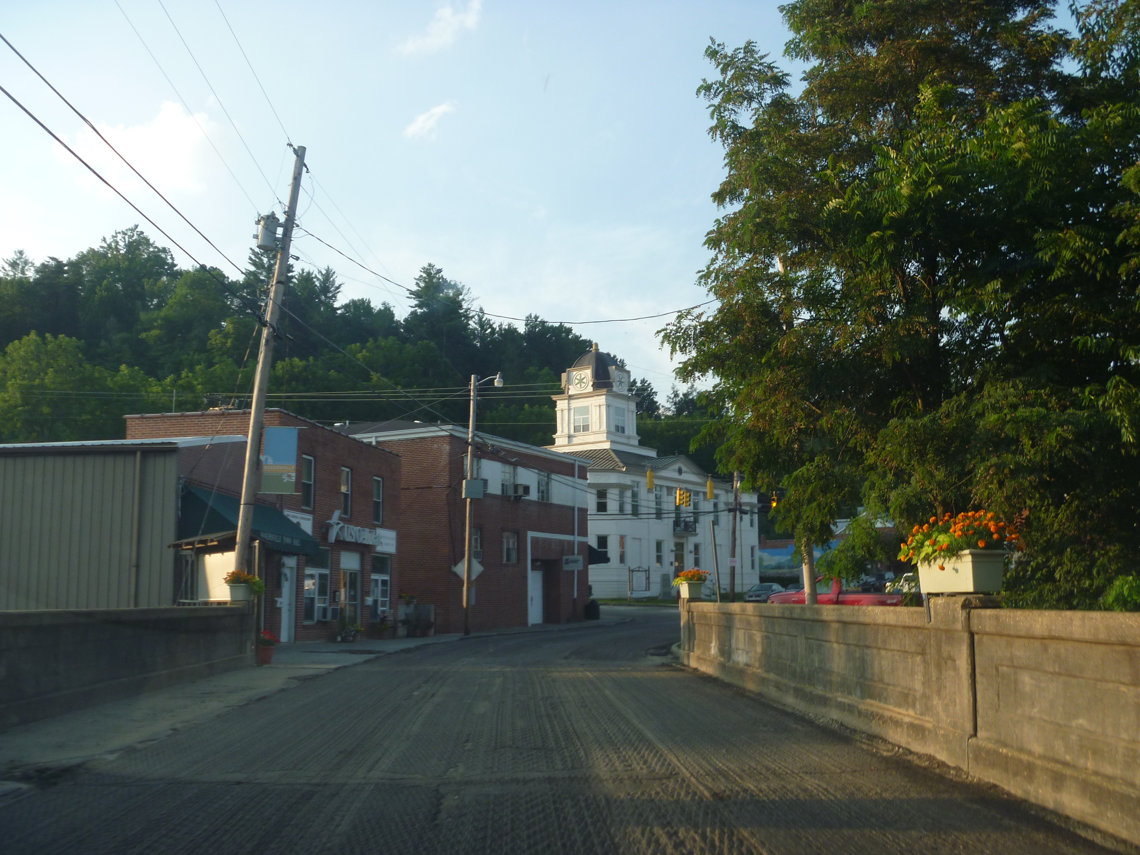
A View Of Mitchell County Courthouse
Light On The Hill: WNC
The Lookout
The light fades so quickly here at the farm in the winter. Soft light through bare trees, and peace. #nature #appalachia #riversongmountainsanctuary #wildkatuahhealingarts

Unicoi Mountain

The Summer Retreat
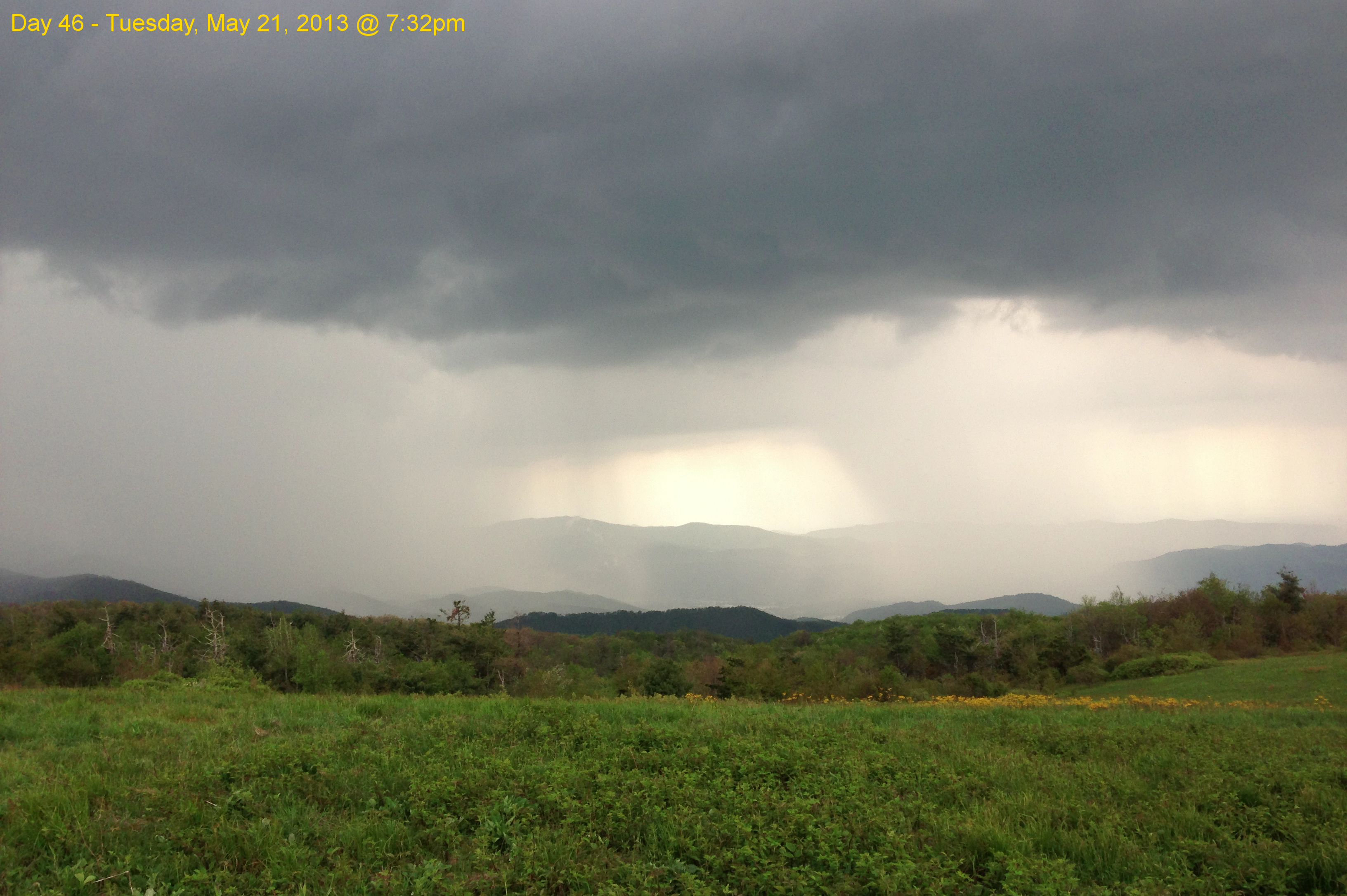
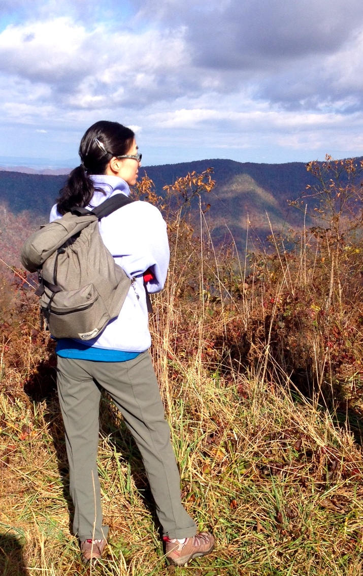
Garry AT Hike 2013-05-21 @ 19-32-39

Barn with barn star (or hex sign) near Burnsville, NC

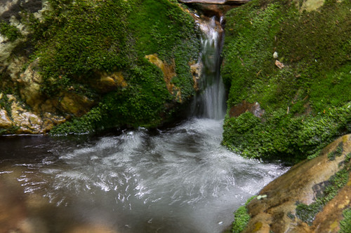
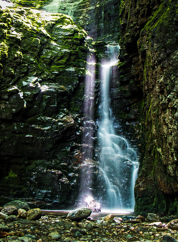
Red Fork Falls
#Nolichucky #Unicoi #erwin #unicoicounty

IMG_9063.JPG
Rock Creek Hike

A scarecrow and farm equipment near Burnsville, NC
Rock Creek Hike

Rock Creek Hike
rafting Nolichucky River Gwen Fred Sam Rhett Nantahala Outdoor Center Erwin TN 07-30-2012
Clear Fork Creek

#park #erwinlineartrail #fall #leaves #erwin

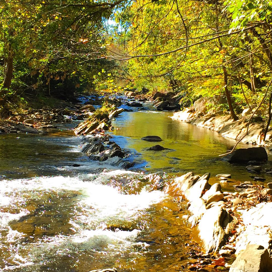
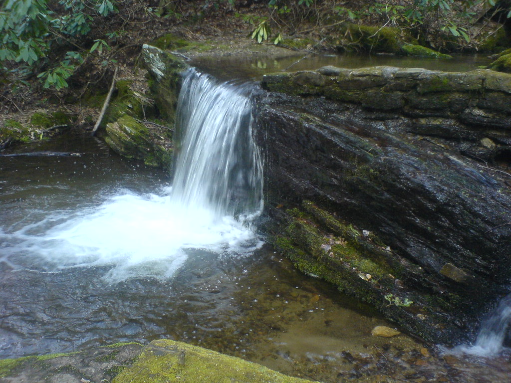
The creek at the back of the house.
Topographic Map of 42 Peterson Ln, Green Mountain, NC, USA
Find elevation by address:

Places near 42 Peterson Ln, Green Mountain, NC, USA:
424 Wolf Mountain Rd
1476 N Bee Branch Rd
174 Relief Road Ext
Sampson Branch Road
30 Hill Rd
390 Parson Branch Rd
Hill Road
Hill Road
232 Mountain Hideaway Dr
127 N Bend Dr
198 N Bend Dr
451 Grassy Gap Rd
465 Tall Timber Ln
Big Creek Free Will Baptist Church
600 Tall Timber Ln
73 Butterfly Aly
8851 Jack's Creek Rd
Ushy 19w, Burnsville, NC, USA
8851 Jack's Creek Rd
515 Racoon Branch Rd
Recent Searches:
- Elevation of Corso Fratelli Cairoli, 35, Macerata MC, Italy
- Elevation of Tallevast Rd, Sarasota, FL, USA
- Elevation of 4th St E, Sonoma, CA, USA
- Elevation of Black Hollow Rd, Pennsdale, PA, USA
- Elevation of Oakland Ave, Williamsport, PA, USA
- Elevation of Pedrógão Grande, Portugal
- Elevation of Klee Dr, Martinsburg, WV, USA
- Elevation of Via Roma, Pieranica CR, Italy
- Elevation of Tavkvetili Mountain, Georgia
- Elevation of Hartfords Bluff Cir, Mt Pleasant, SC, USA