Elevation of 41 Christie Ln, Benton, CA, USA
Location: United States > California > Mono County >
Longitude: -118.47663
Latitude: 37.81911
Elevation: 1643m / 5390feet
Barometric Pressure: 83KPa
Elevation Map:
Satellite Map:
Related Photos:
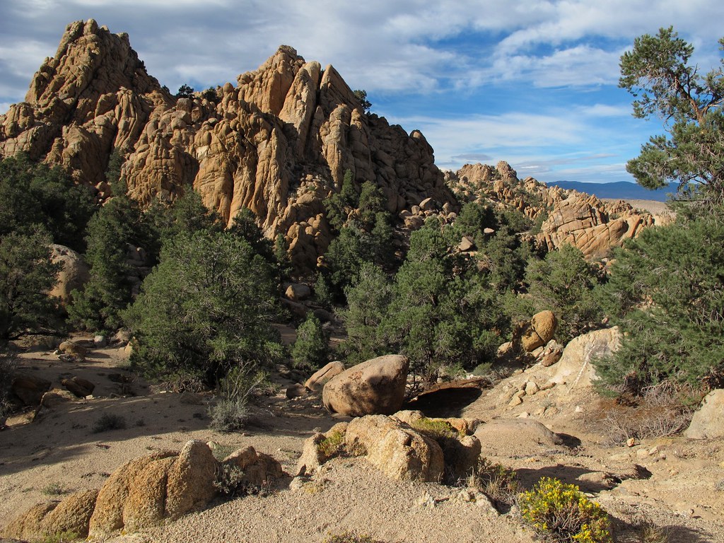
Pile-O-Rocks

Montgomery Peak from Boundary Peak
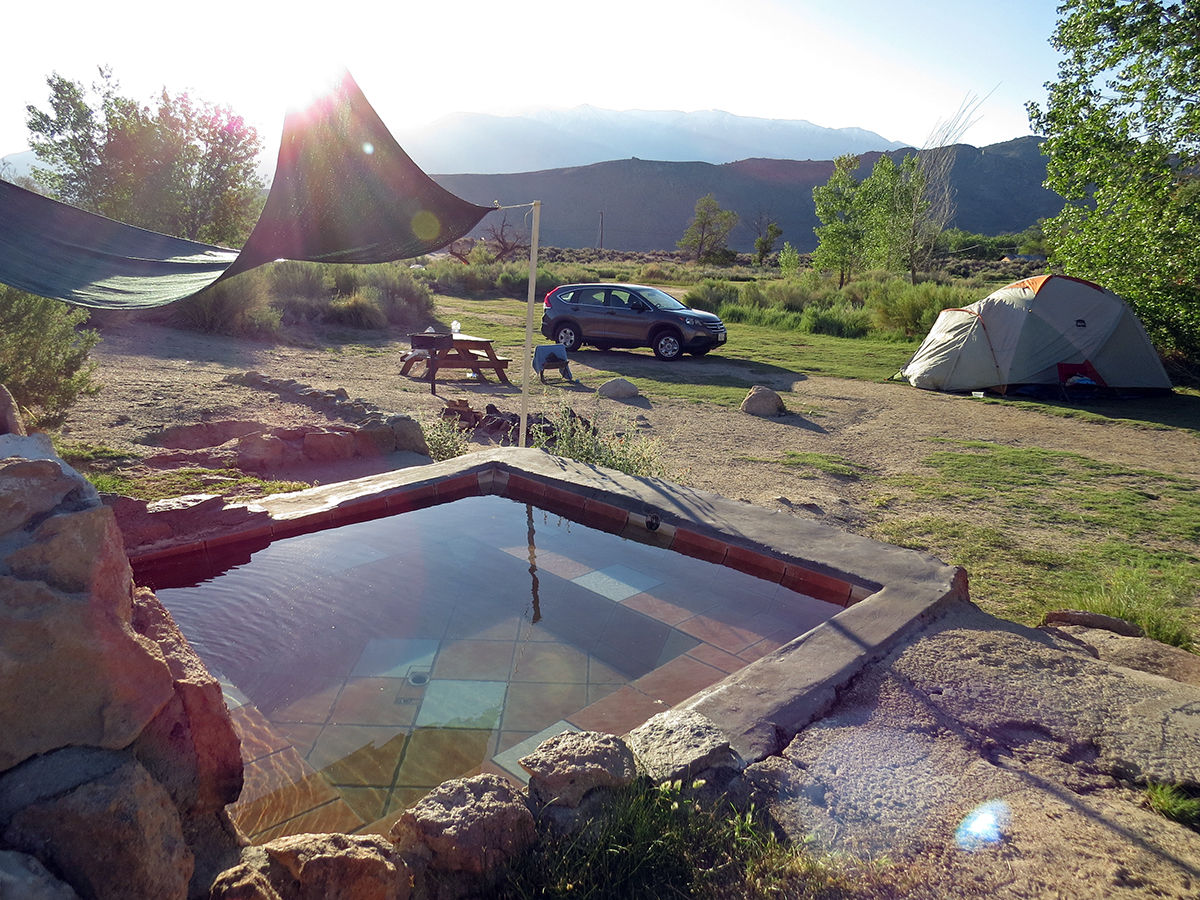
Benton Hot Springs Tub 8
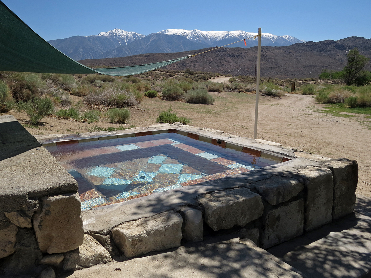
Benton Hot Springs Tub 9

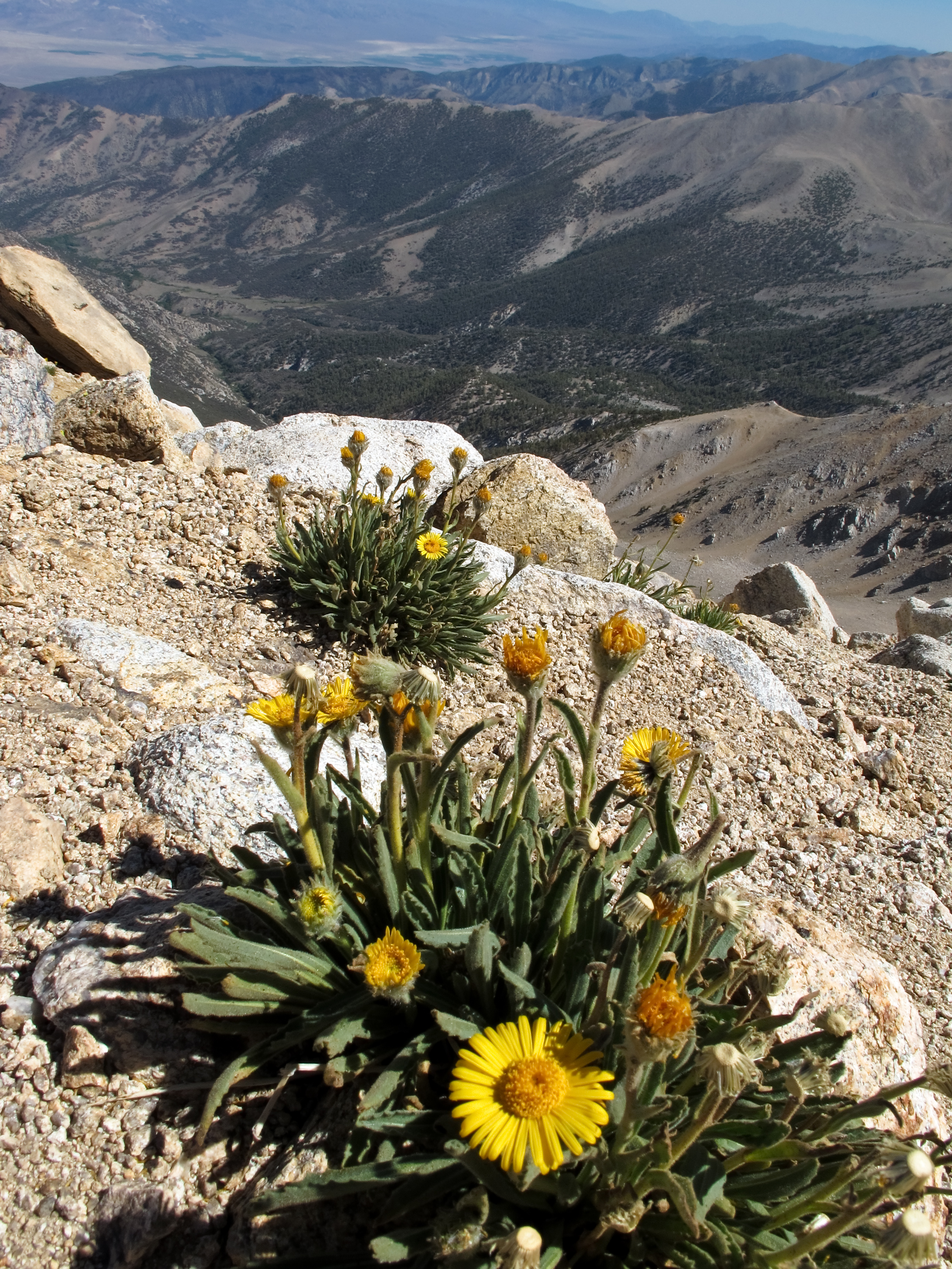
Montgomery Peak and alpine flowers
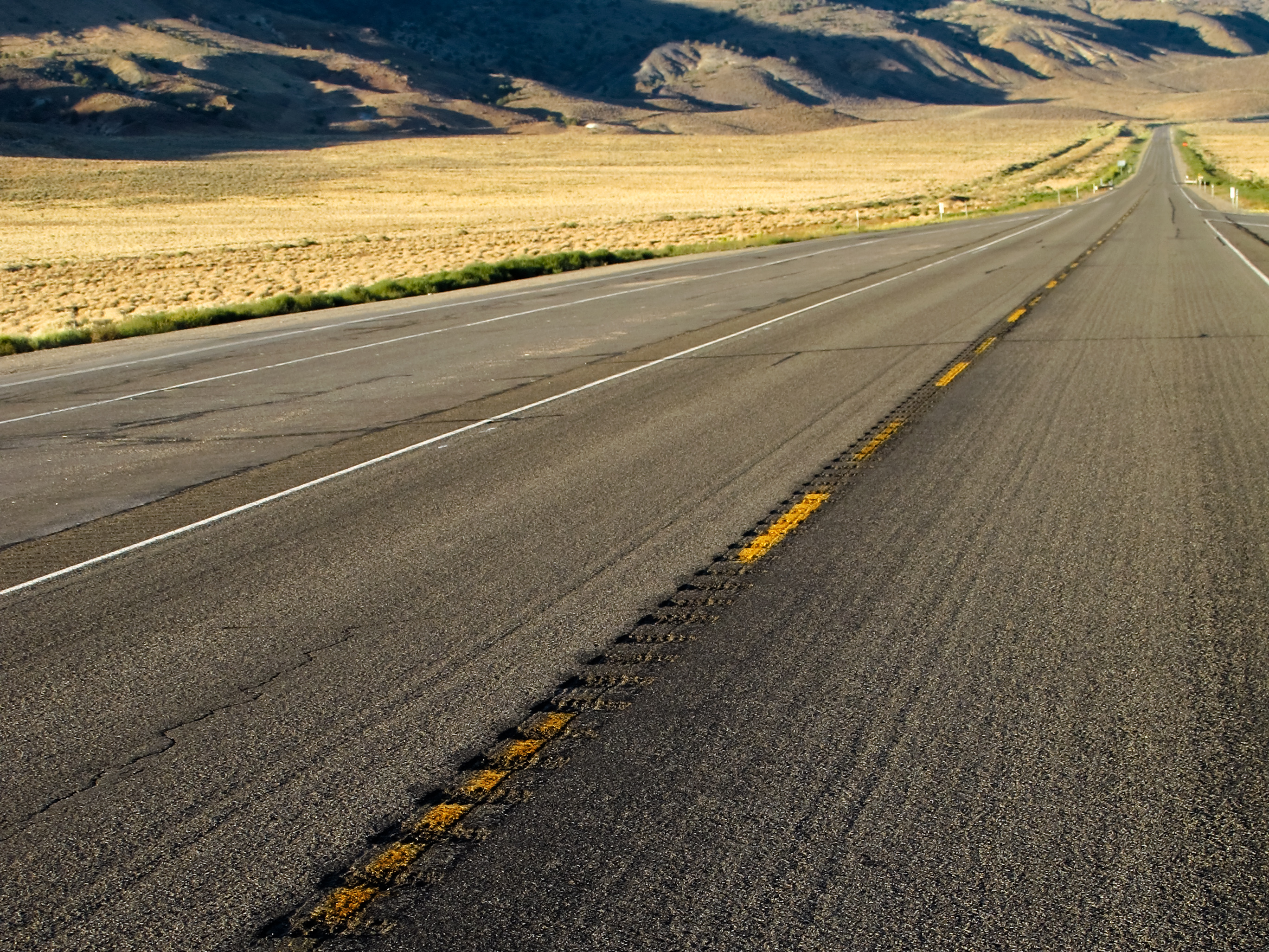
Highway 6, Nevada

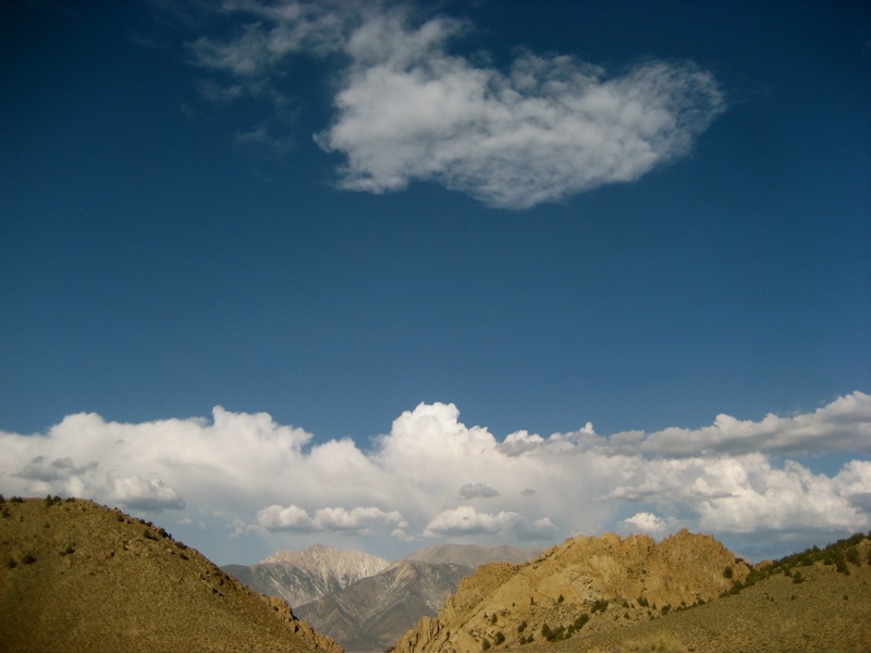
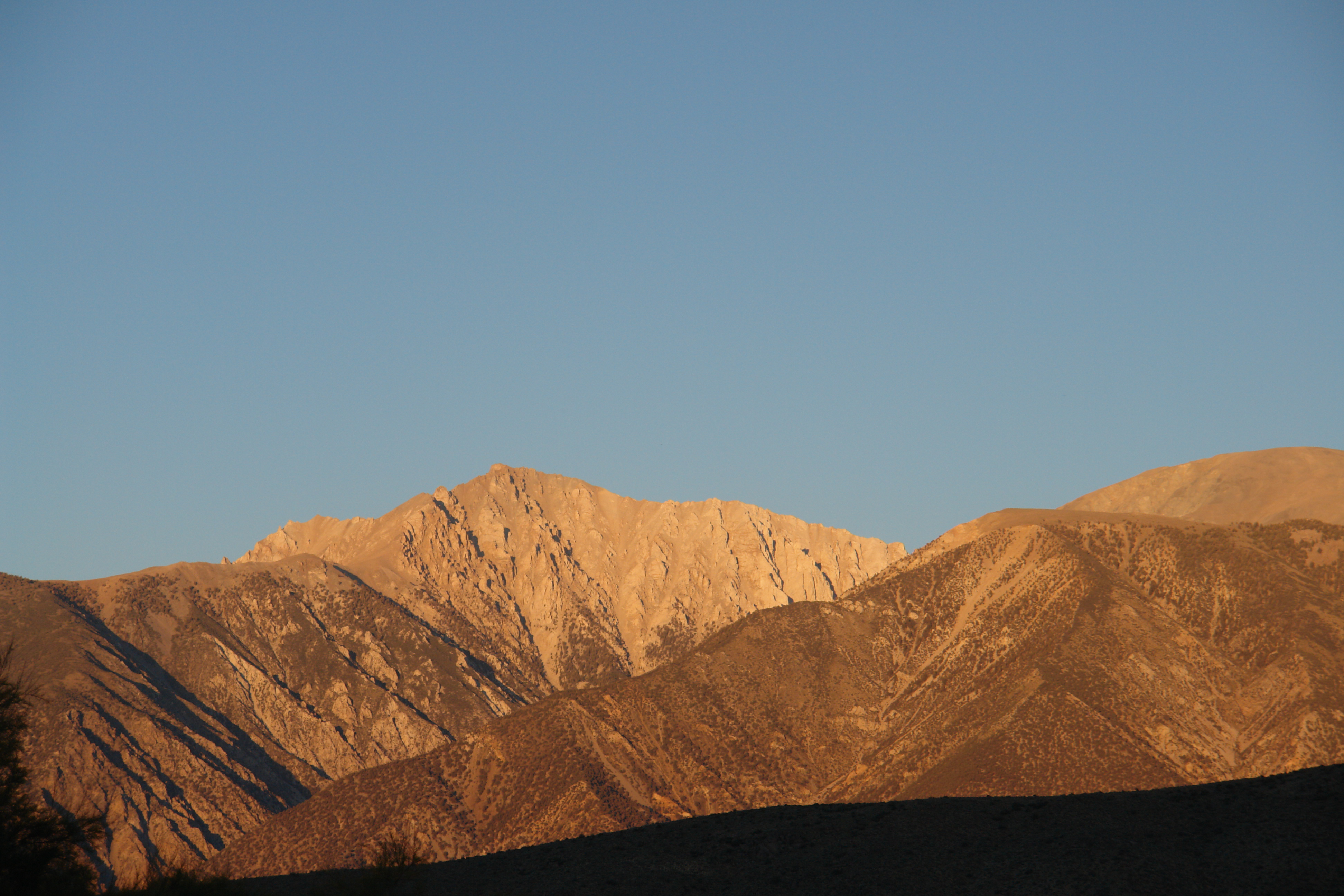
Boundary and Montgomery Peak
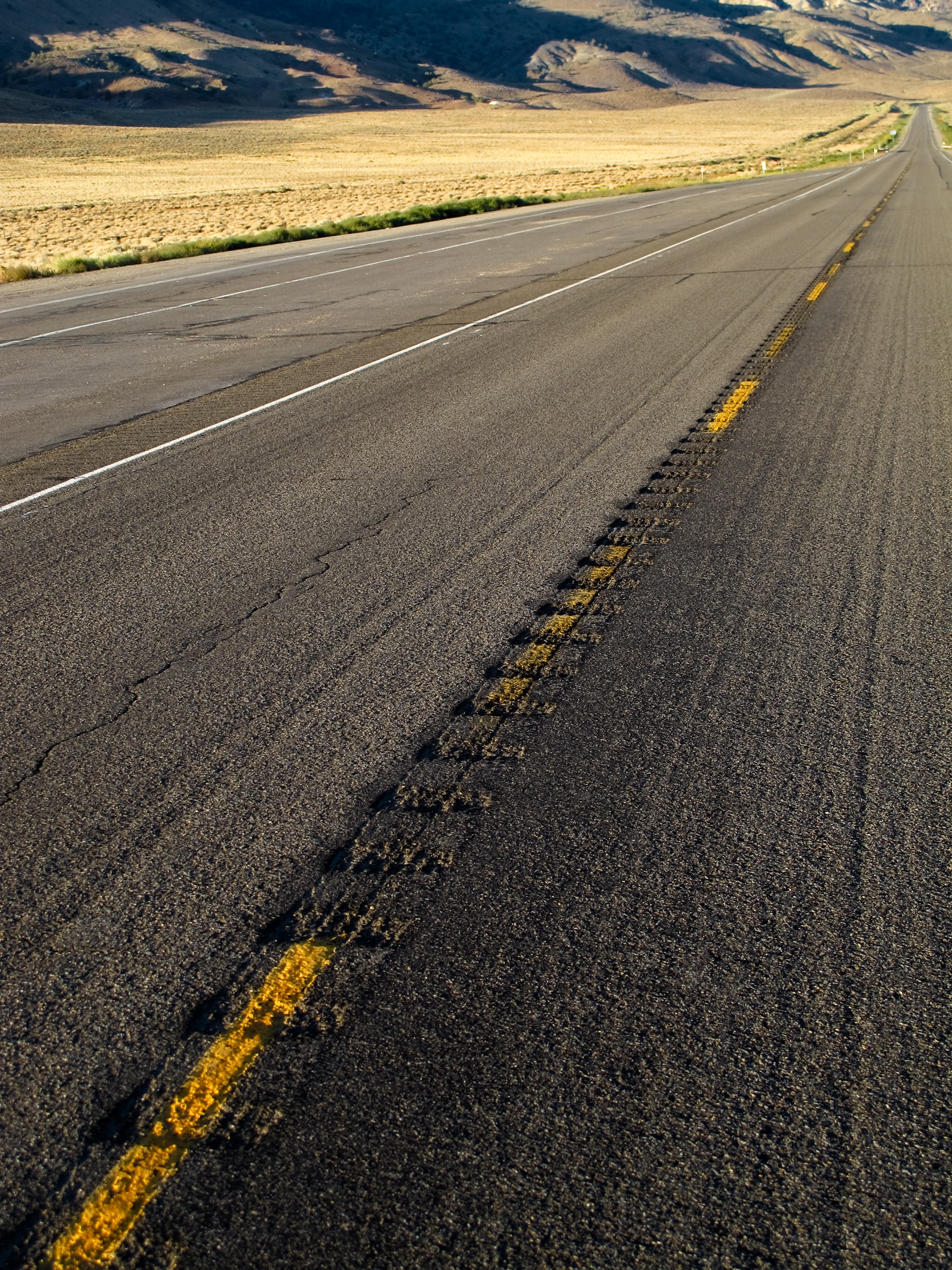
Lonesome Highway
View west to California

Alpine flowers on Boundary Peak

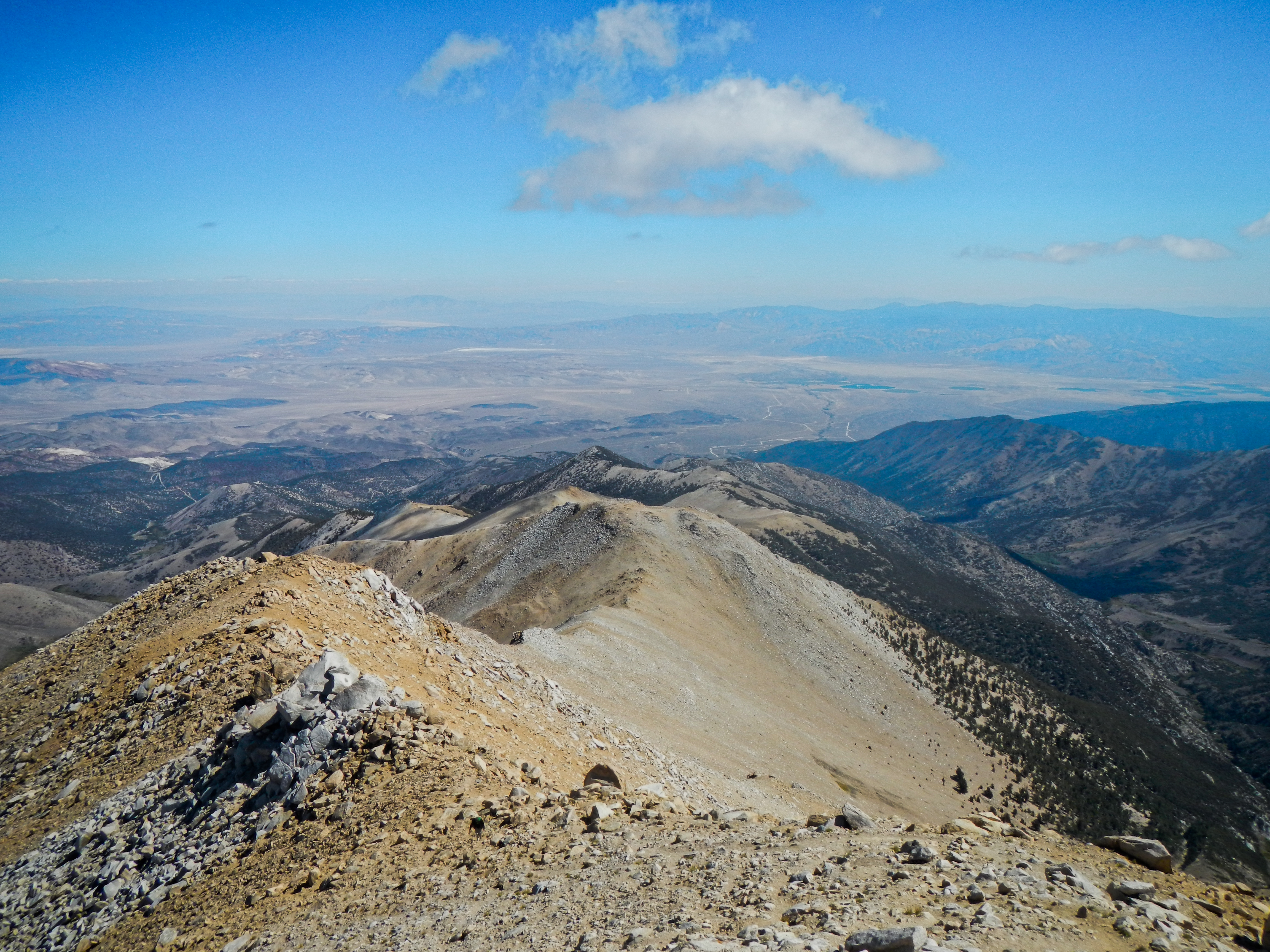
View east from Boundary Peak

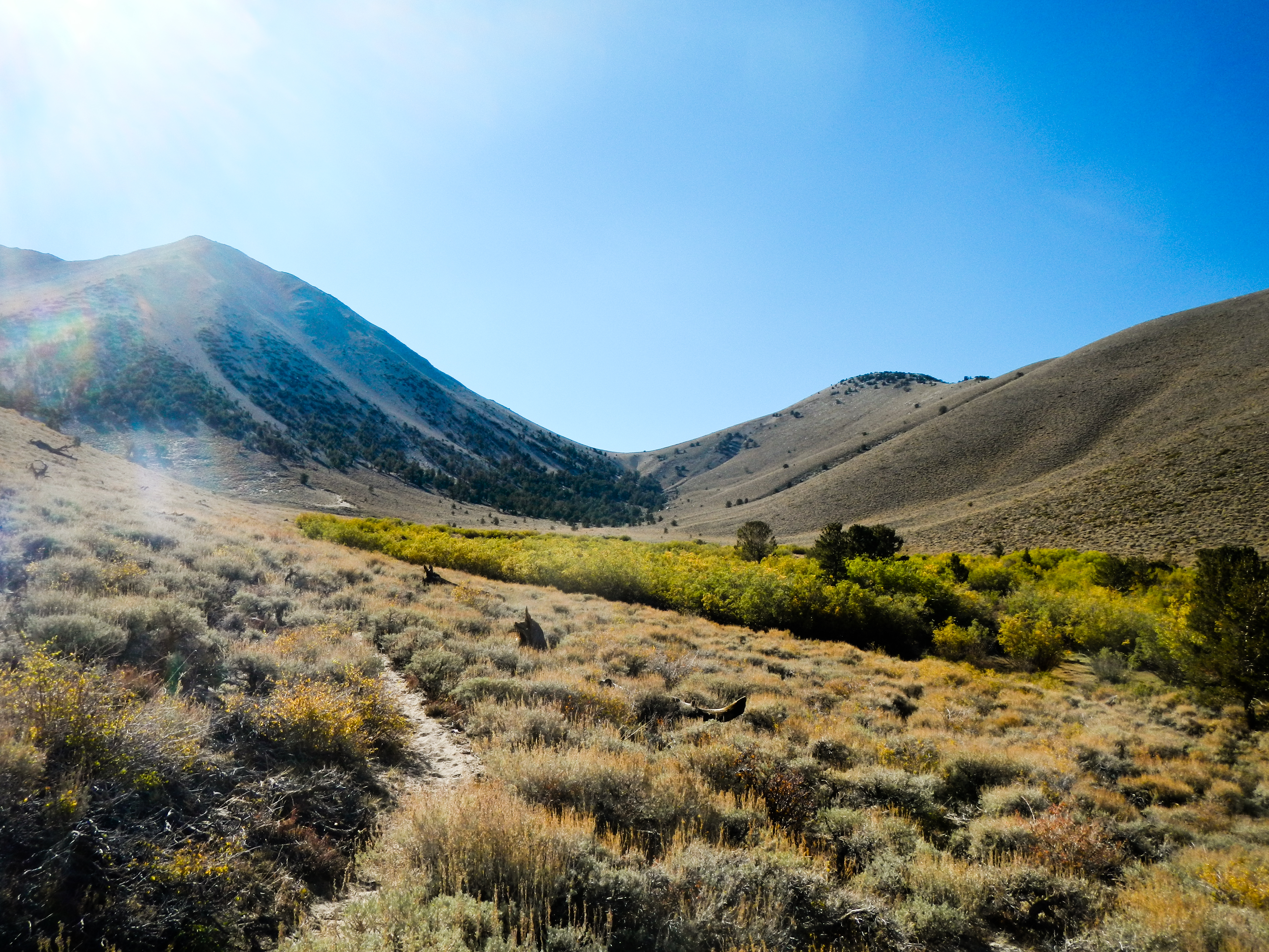
View towards the Benton Valley
Boundary and Montgomery Peak from Hwy 6
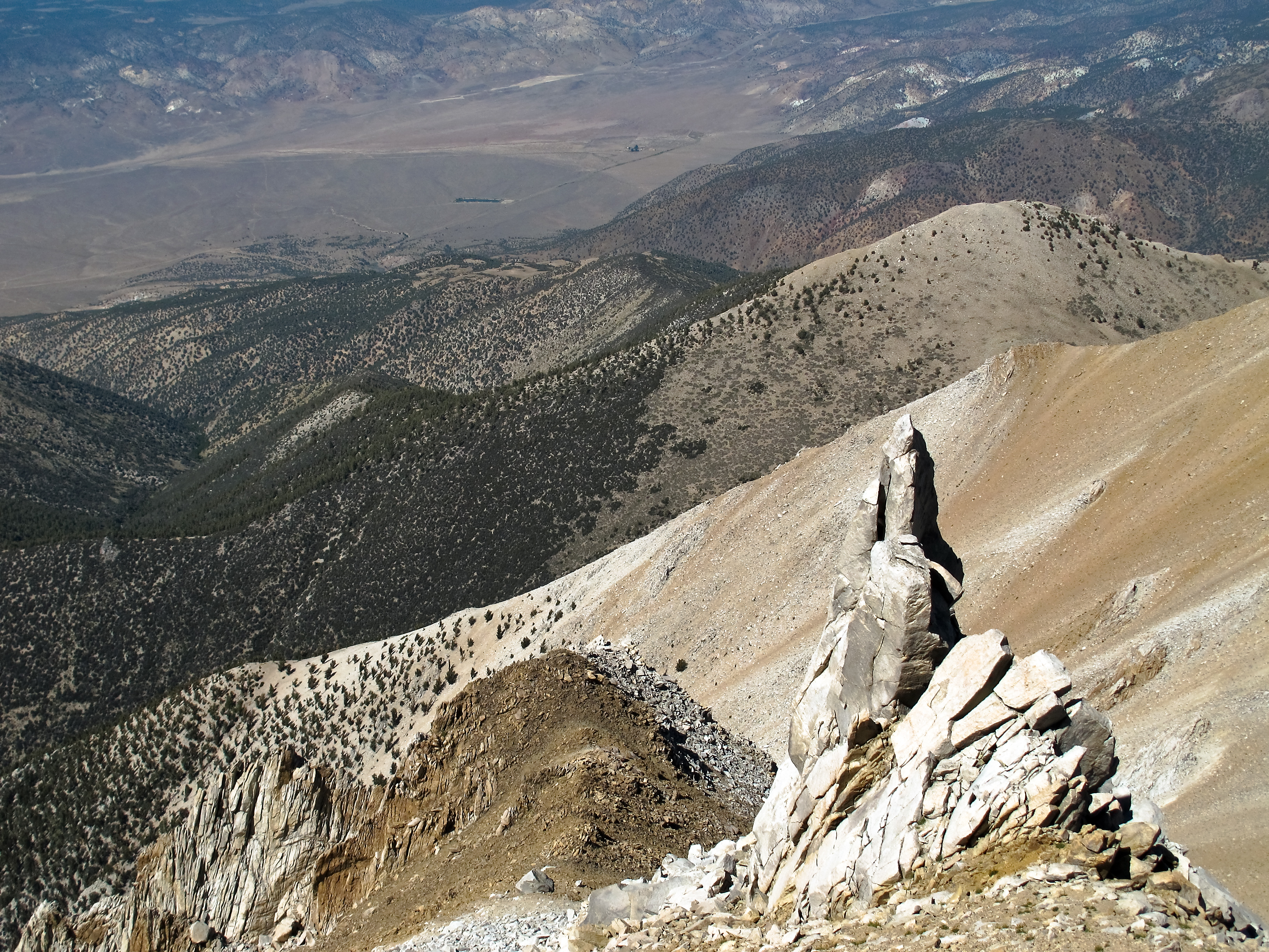
Boundary Peak's rugged western slopes
Growing up high

View north from Boundary Peak

View northeast from Boundary Peak
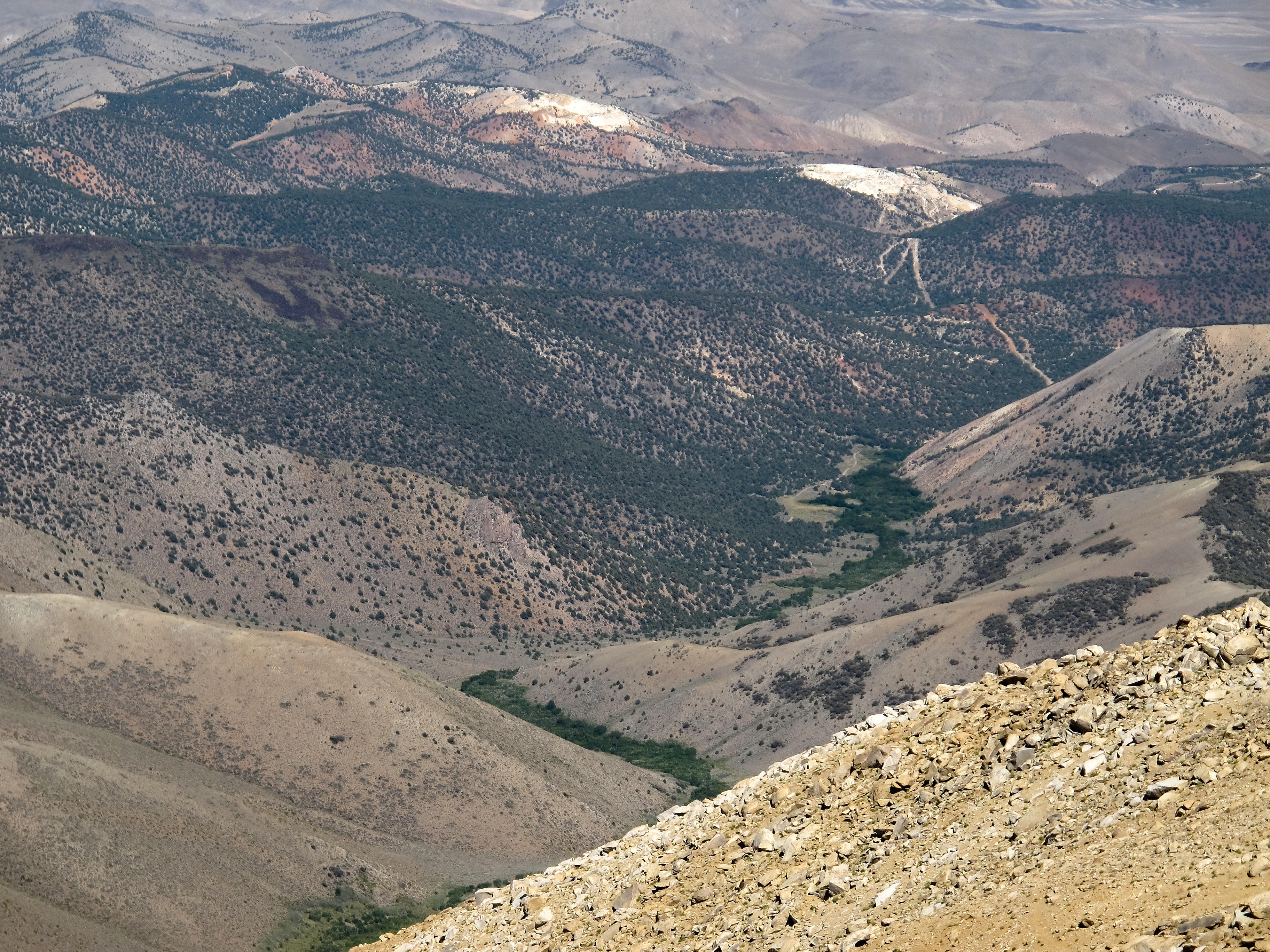
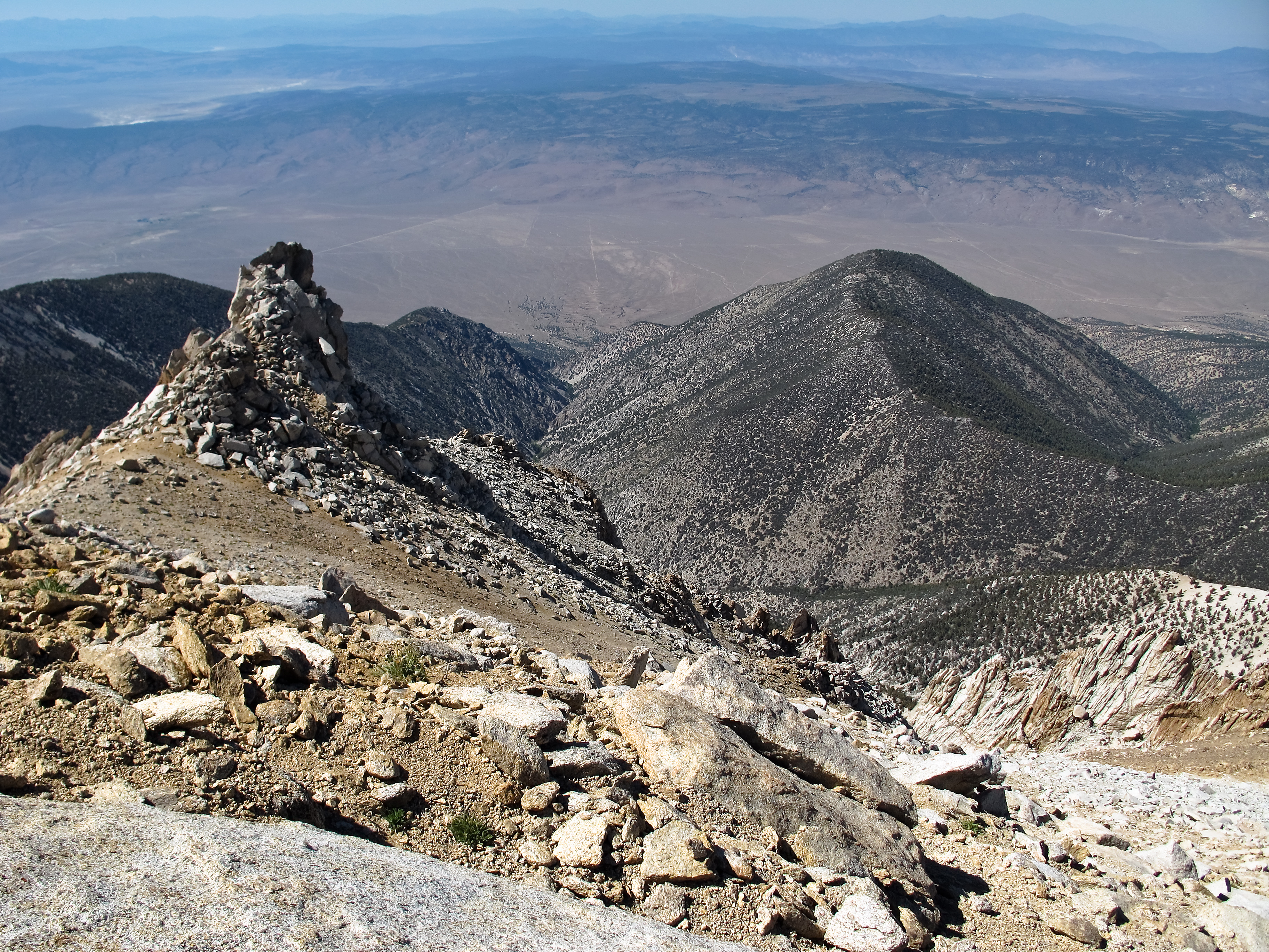
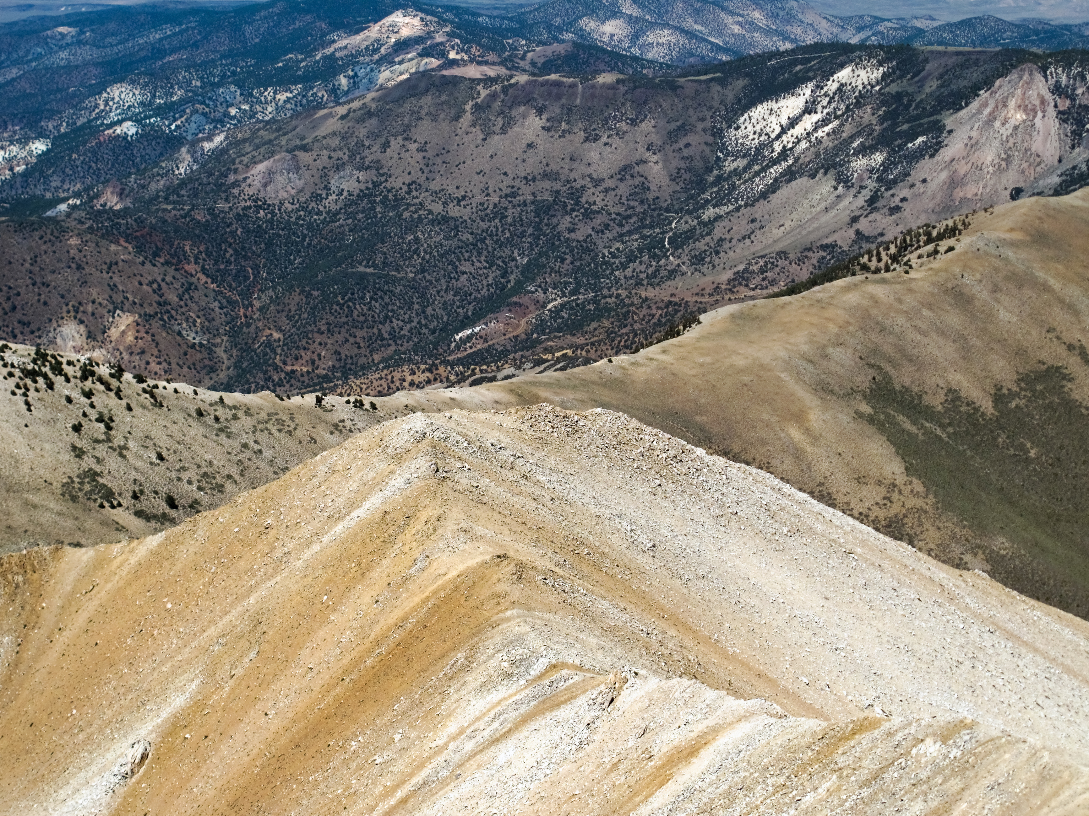
View down towards Trail Canyon
Nevada afternoon
Benton Hot Springs
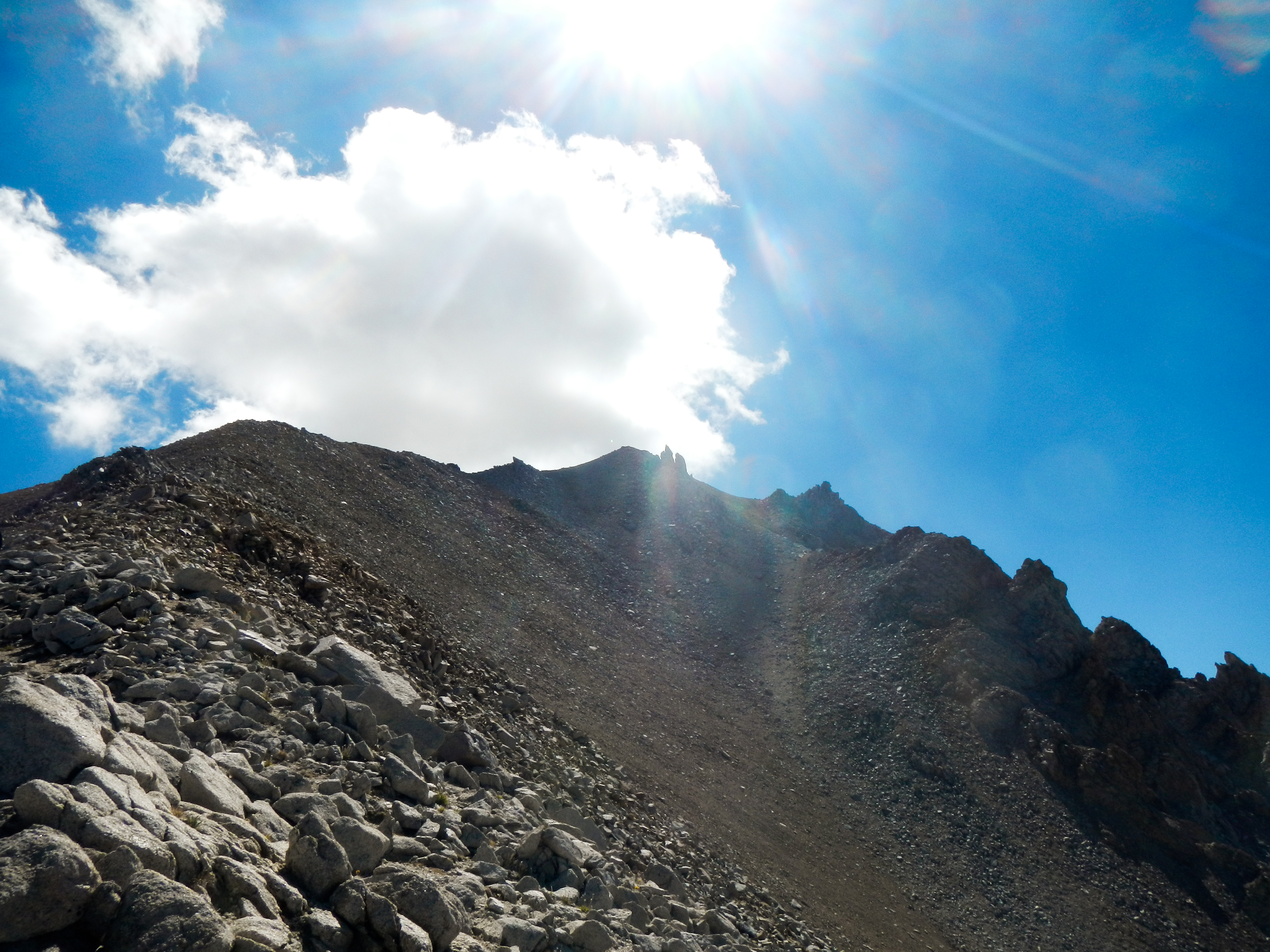
Boundary Peak ridge line
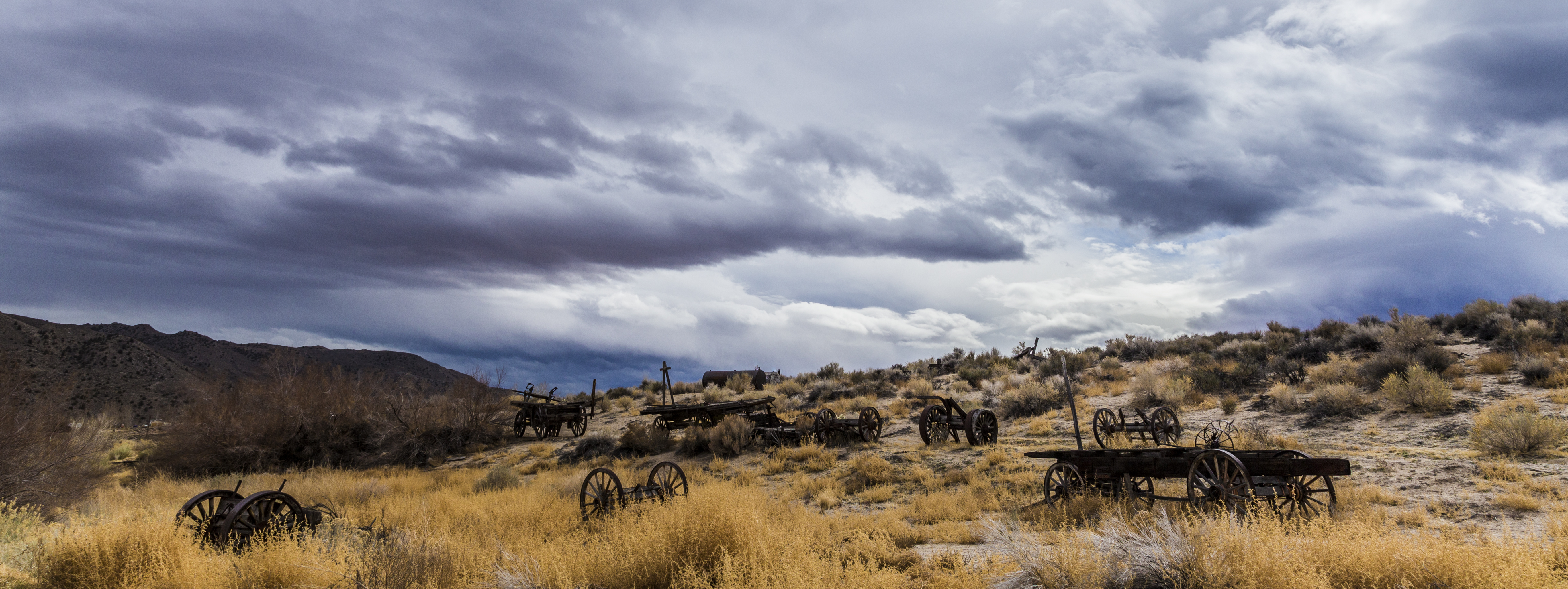
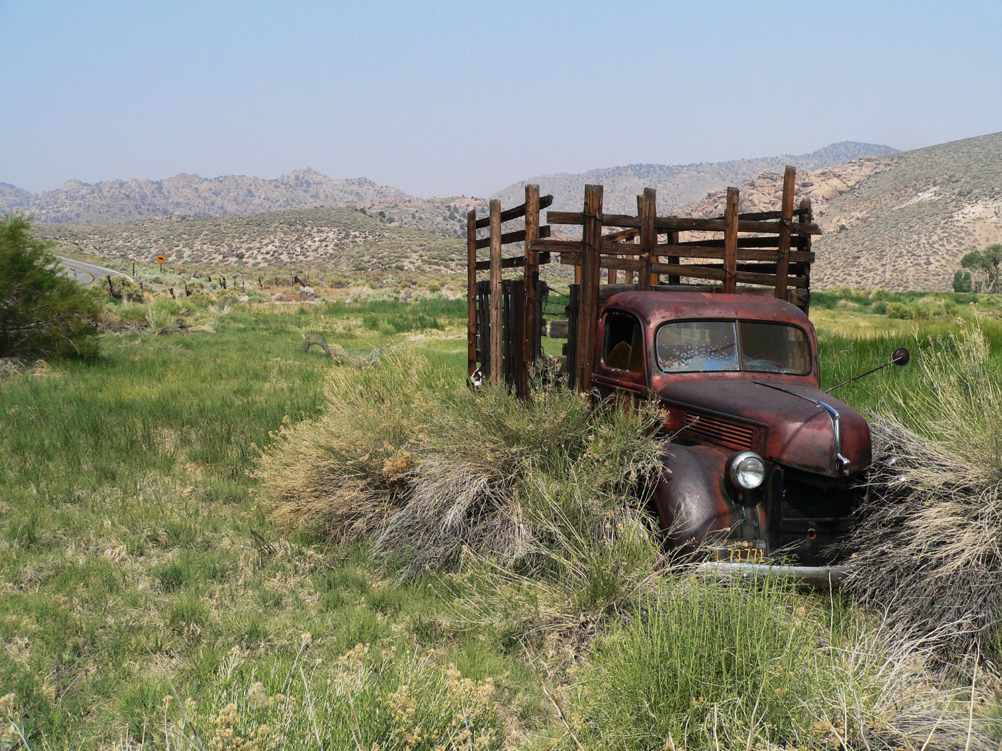
Retired Wheels
EVENING LIGHT AND SHADOWS
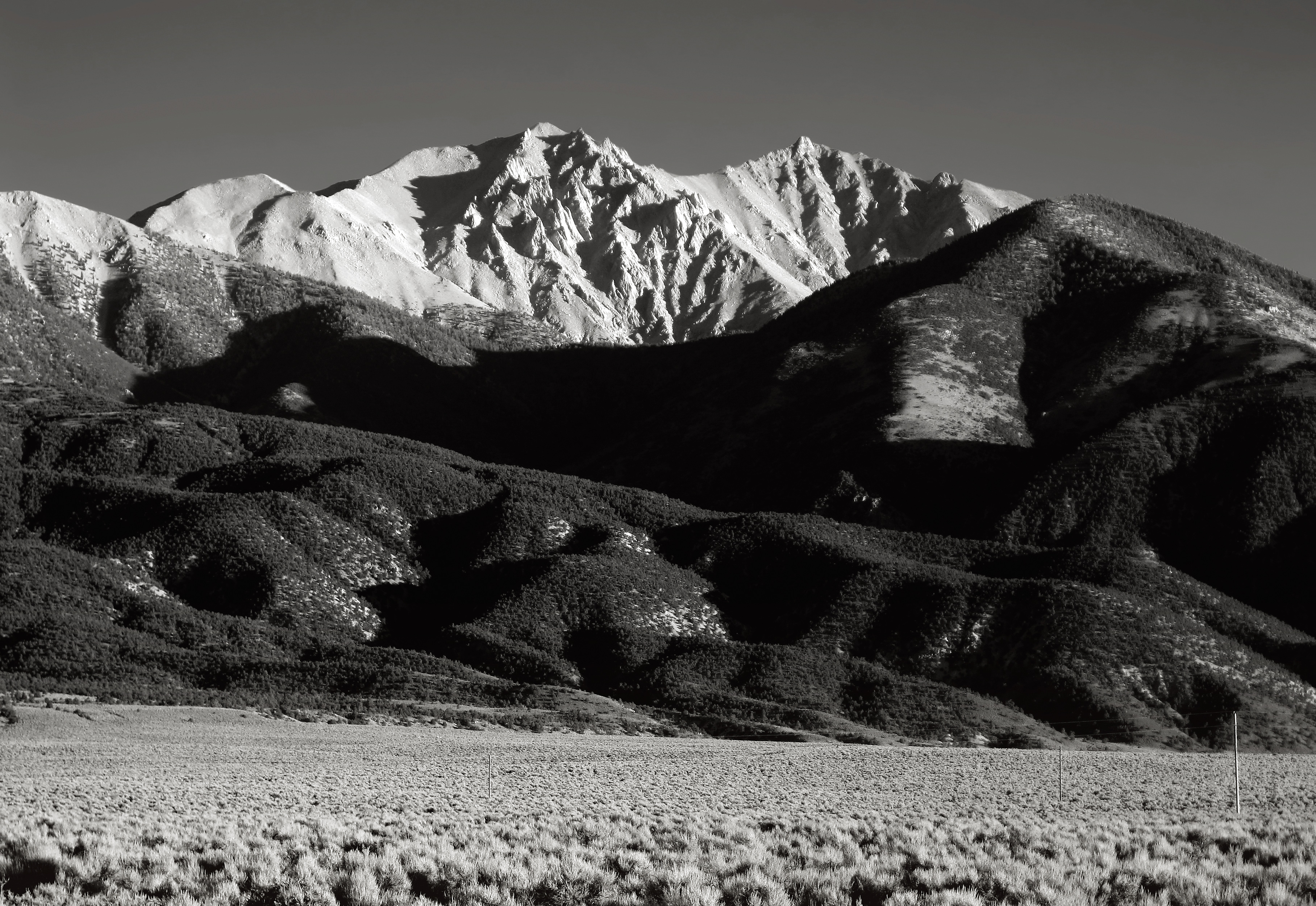
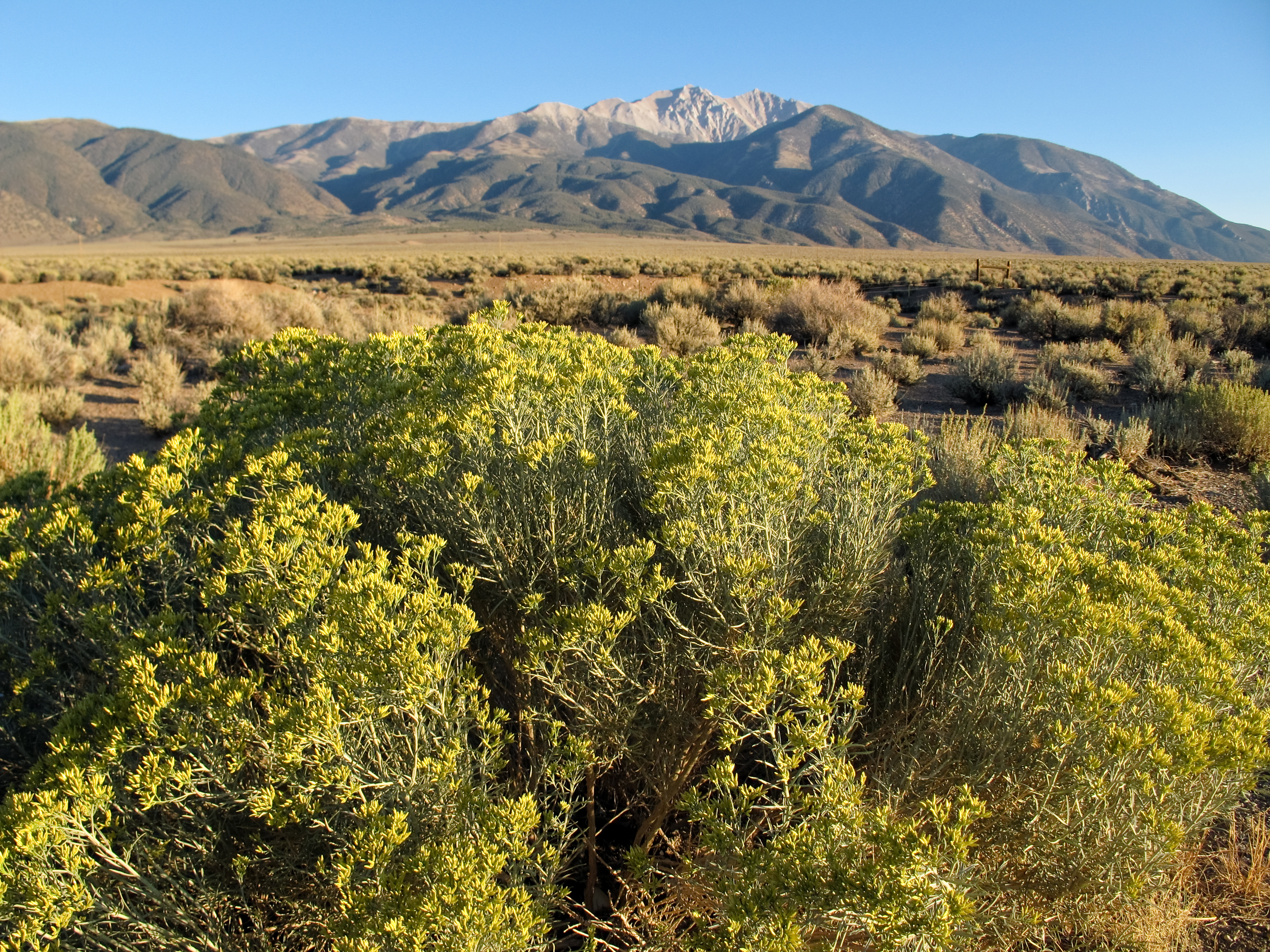
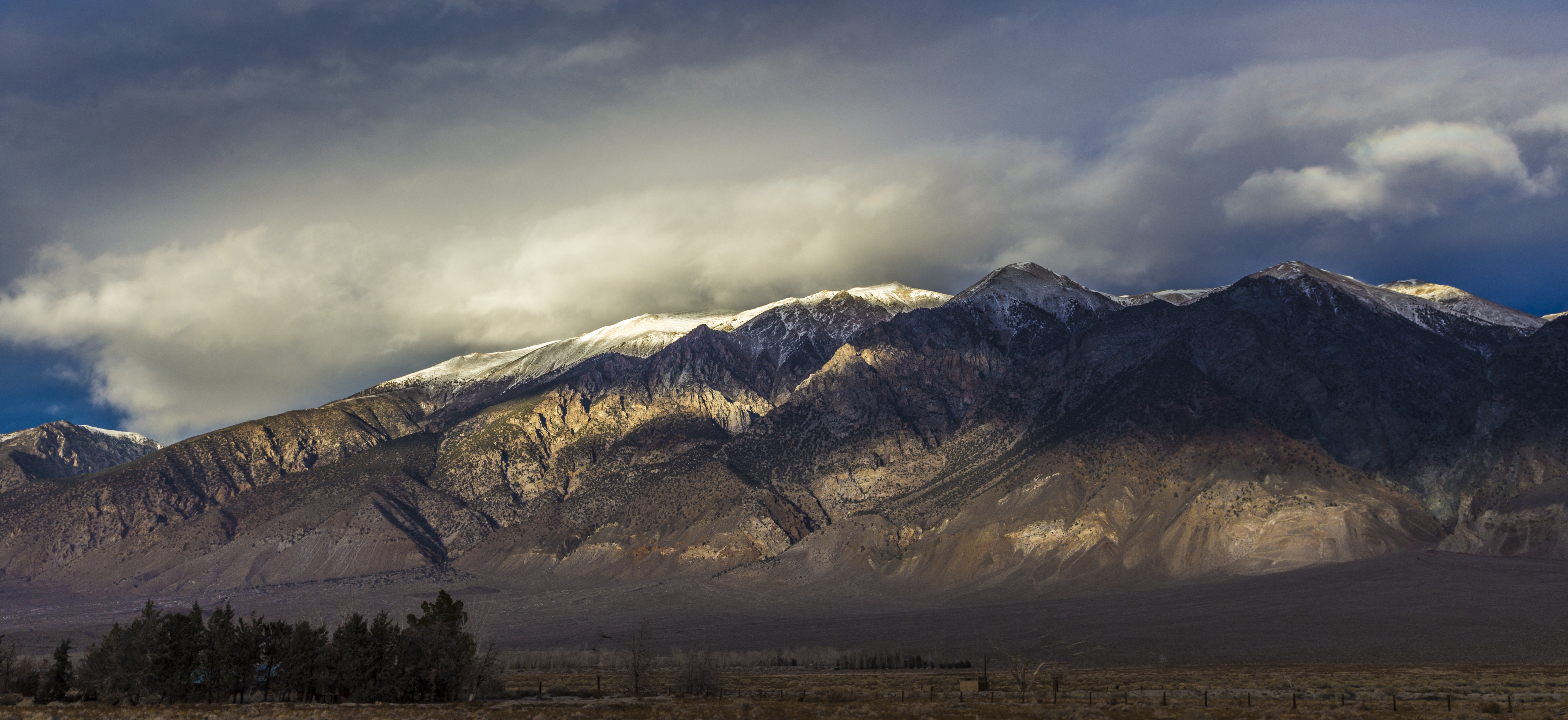
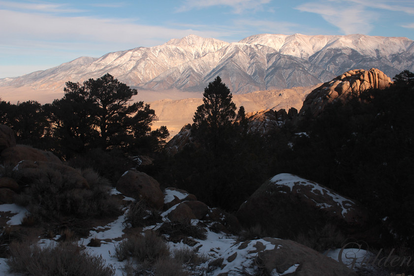
Montgomery and Boundary Peaks from Benton

10)A long way to the summit-pano
Boundary Peak - September 25, 2012-39.jpg
white mountains
winter on Benton Crossing
Goin' Nowhere

Boundary Peak - September 25, 2012-18.jpg

18) Snow?!! YES!!

24) I'm almost there
Boundary Peak - September 25, 2012-19.jpg
Boundary Peak - September 25, 2012-33.jpg

6) Such a pretty sign

P2060025.JPG
Boundary Peak - September 25, 2012-20.jpg

30) It was harder to descent-pano
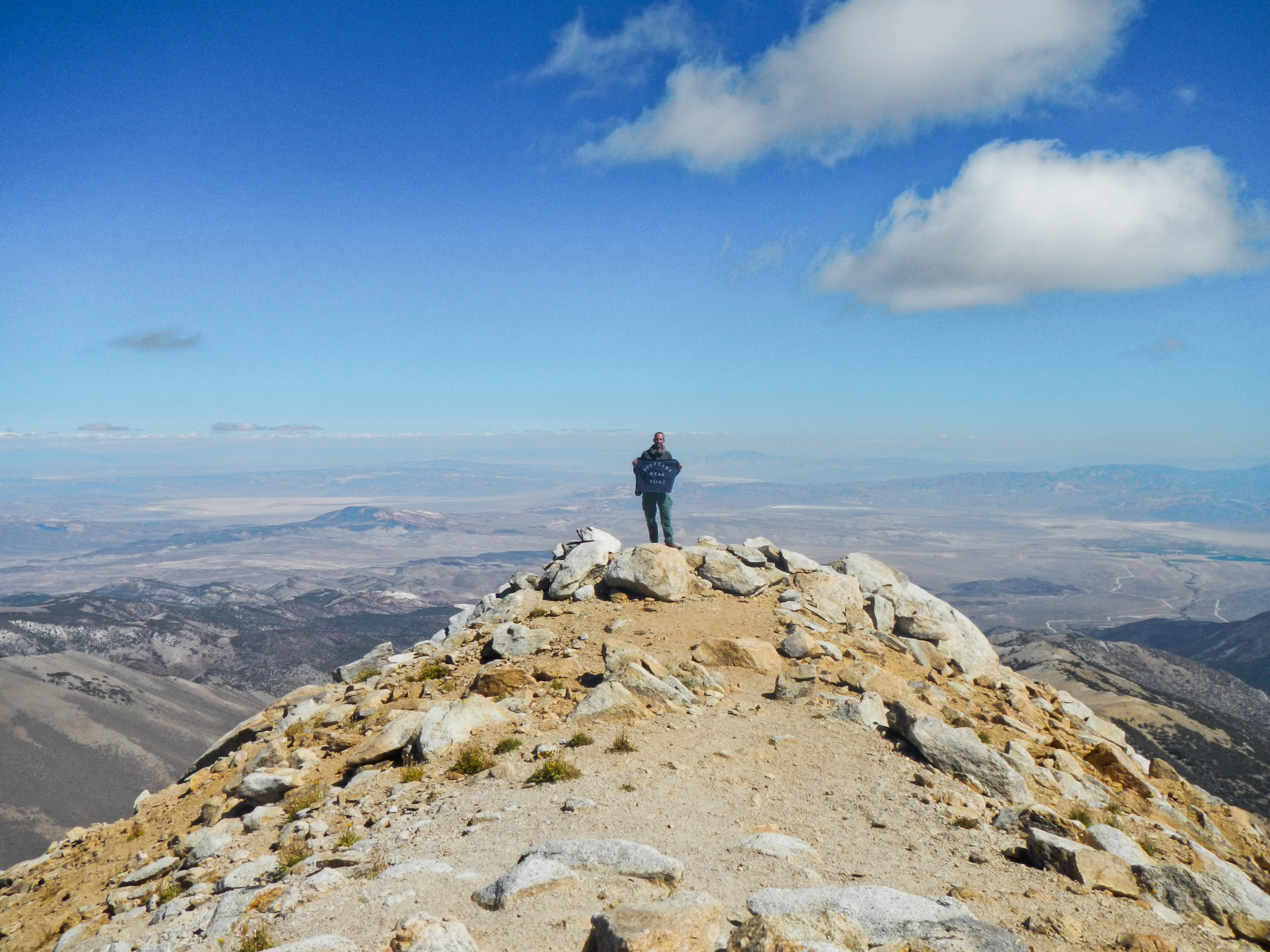
Boundary Peak

27) Summit shot (East)
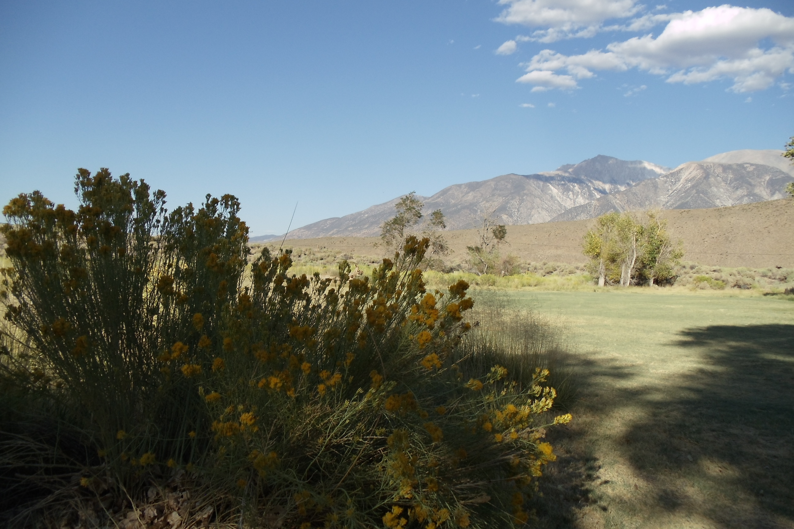
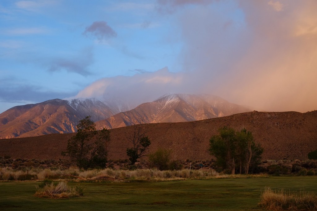
Benton Hot Springs
Topographic Map of 41 Christie Ln, Benton, CA, USA
Find elevation by address:

Places near 41 Christie Ln, Benton, CA, USA:
Benton
CA-, Benton, CA, USA
Boundary Peak
Mount Dubois
Hammil Rd, Bishop, CA, USA
White Mountain Peak
0 Pinon Hill Rd
0 Pinon Hill Rd
0 Pinon Hill Rd
Toms Place
Holiday Campground
Lake Crowley
1 Cougar Run
Swall Meadows
Aspen Spring Ranch Rd, Mammoth Lakes, CA, USA
S Landing Rd, Mammoth Lakes, CA, USA
Volcanic Tableland
Piute Mountain
Wheeler Crest
Sheep Mountain
Recent Searches:
- Elevation of Corso Fratelli Cairoli, 35, Macerata MC, Italy
- Elevation of Tallevast Rd, Sarasota, FL, USA
- Elevation of 4th St E, Sonoma, CA, USA
- Elevation of Black Hollow Rd, Pennsdale, PA, USA
- Elevation of Oakland Ave, Williamsport, PA, USA
- Elevation of Pedrógão Grande, Portugal
- Elevation of Klee Dr, Martinsburg, WV, USA
- Elevation of Via Roma, Pieranica CR, Italy
- Elevation of Tavkvetili Mountain, Georgia
- Elevation of Hartfords Bluff Cir, Mt Pleasant, SC, USA