Elevation of 41 Bílovice-Lutotín, Czech Republic
Location: Czech Republic > Olomouc Region > Prostějov District >
Longitude: 17.0432187
Latitude: 49.5109974
Elevation: 248m / 814feet
Barometric Pressure: 98KPa
Elevation Map:
Satellite Map:
Related Photos:
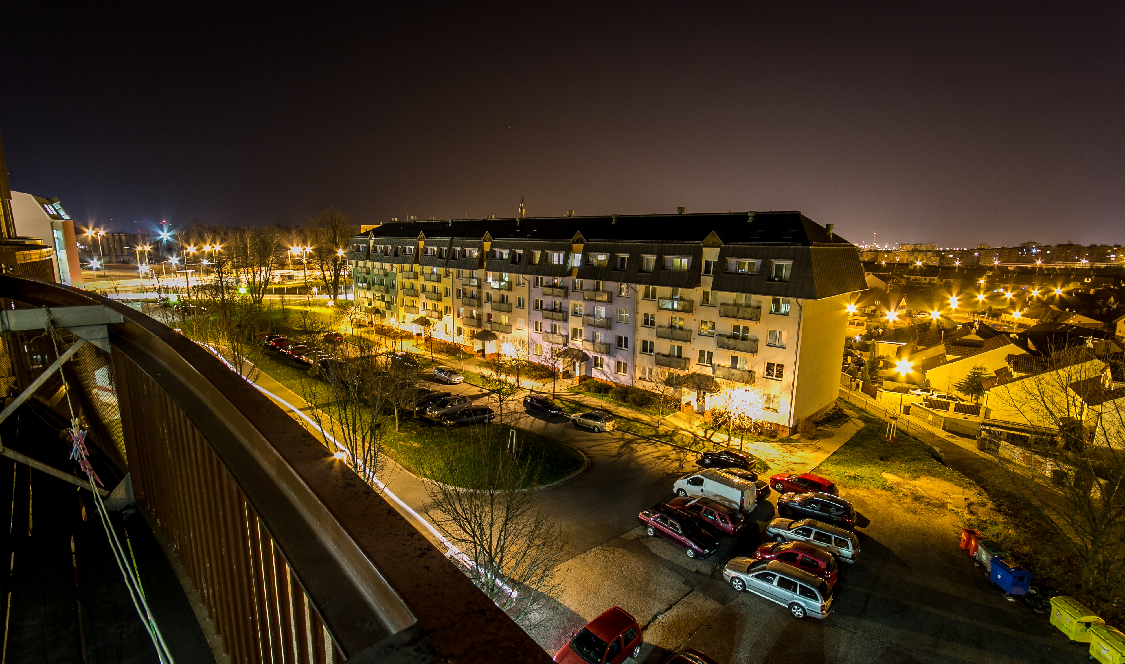
View From Home

jablkový sad:
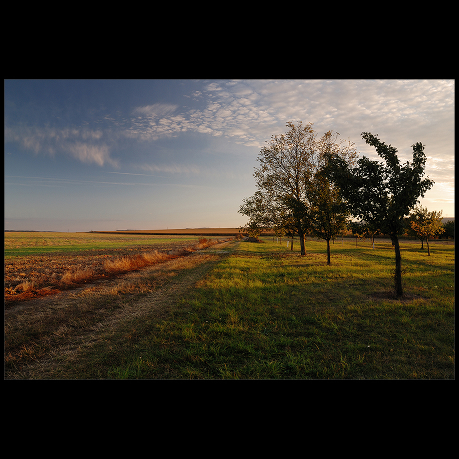
jablkový sad.

abandoned land | zdětín

jablkový sad:.
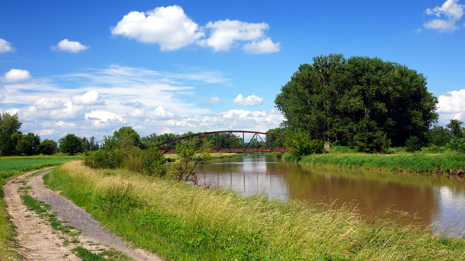
Postcard from Charváty-Drahlov

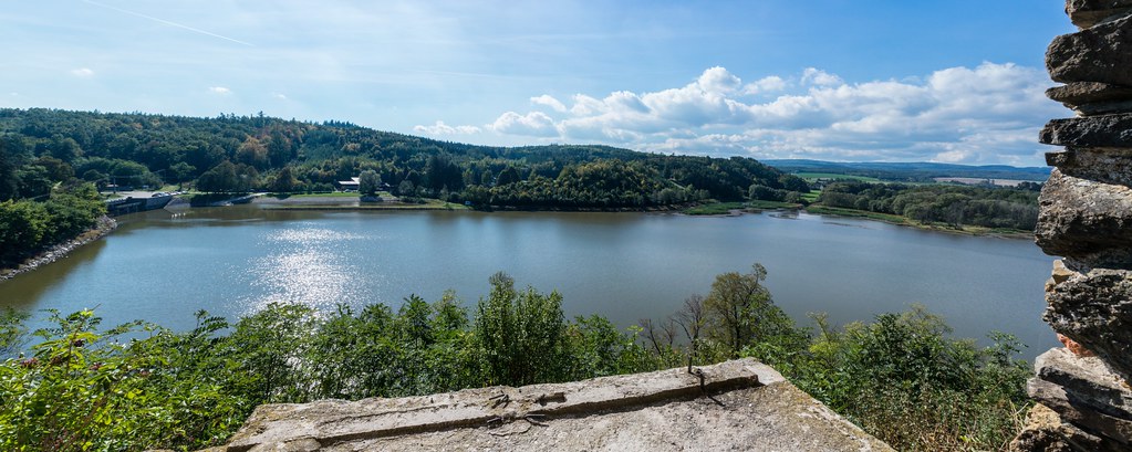
Plumlov panorama
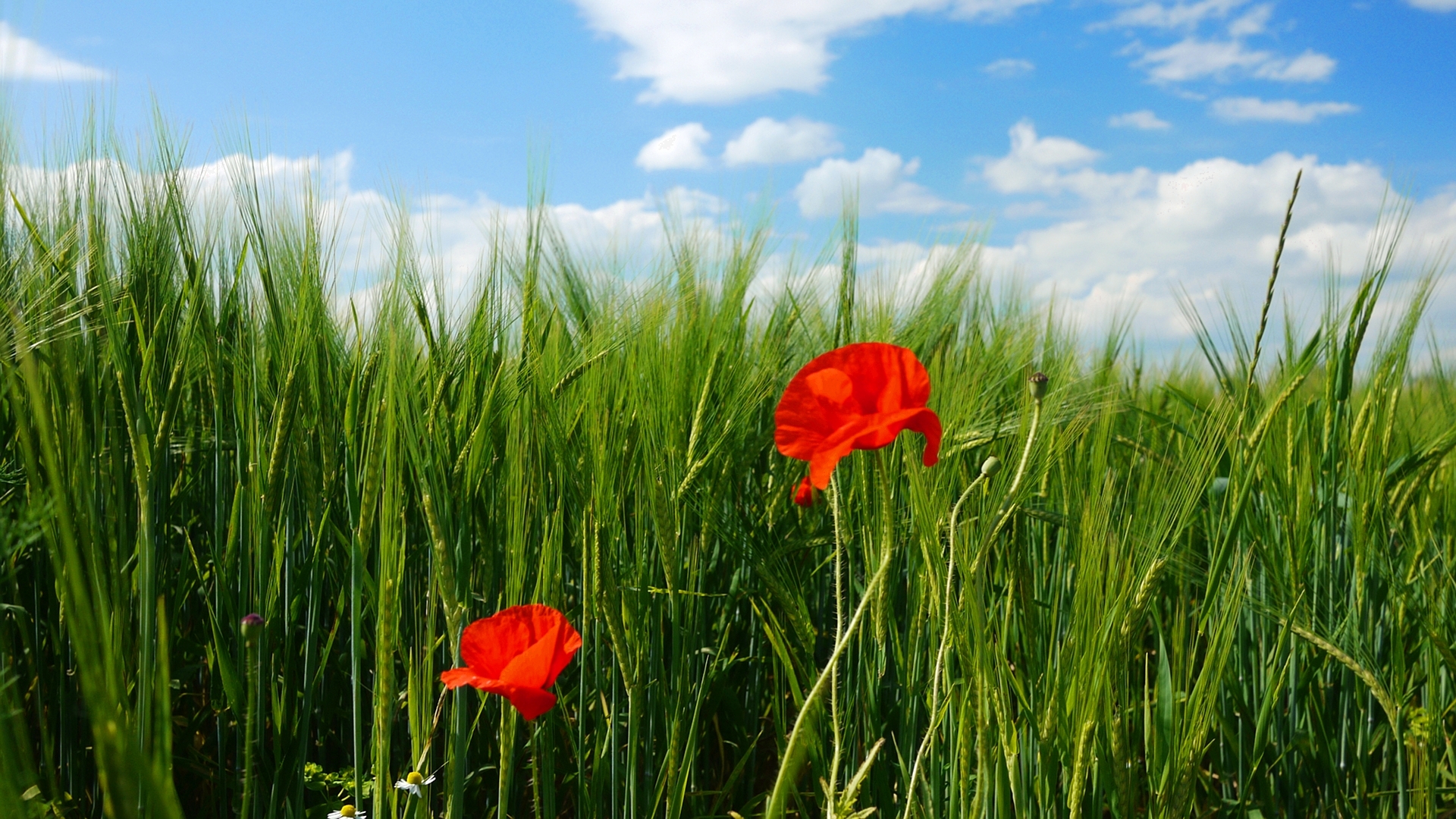
Two poppys

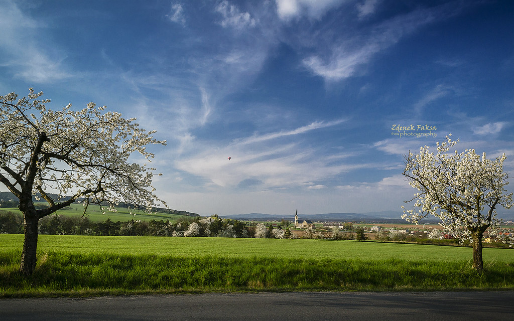
Moravian landscape Sec

Spring arrived

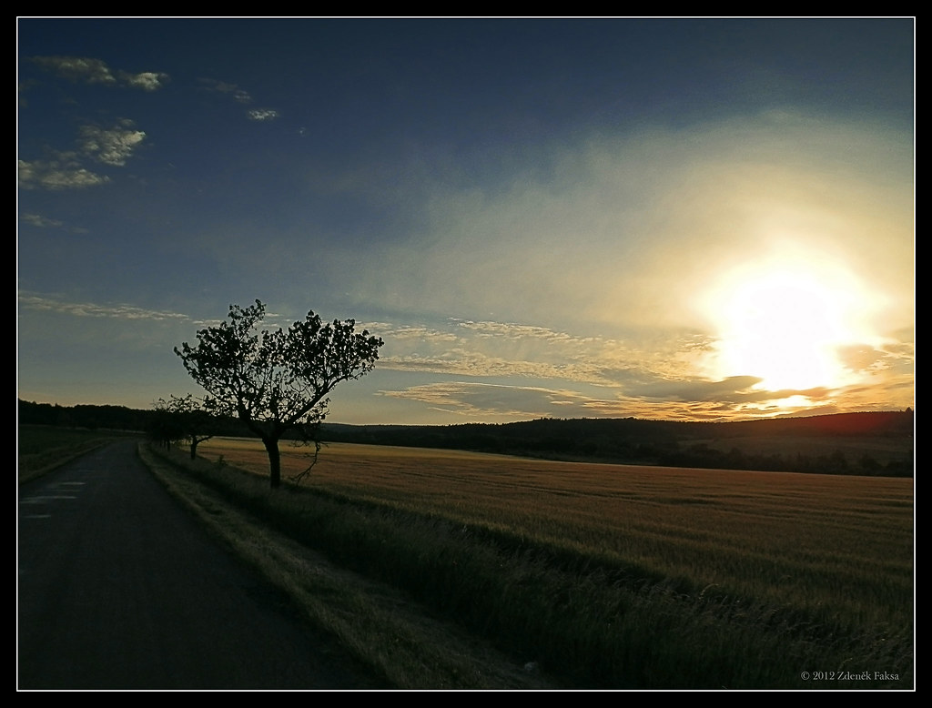
Sun behind the scenes

Rainbow curtain

Football Field

Lonely stump
Between the trees

IMG_2118.jpg
Last season

windy and warm I
810 399
Road to the forest...

The Forest Heart

Iridescent sunset
Autumn country

Cechy pod Kosirem Castle area
Waiting for sleep
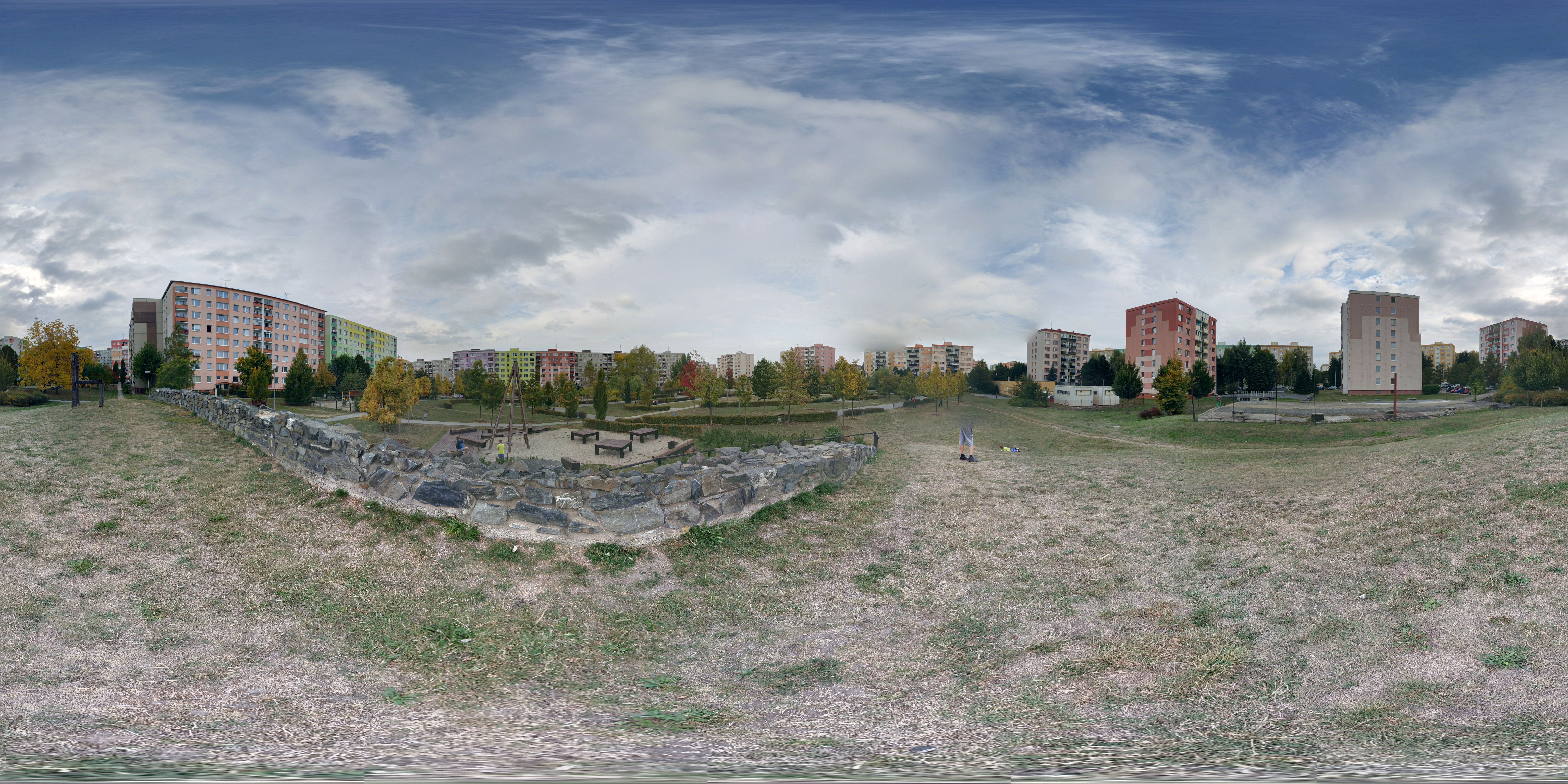
2015 - PANORAMA 1
Topographic Map of 41 Bílovice-Lutotín, Czech Republic
Find elevation by address:

Places in 41 Bílovice-Lutotín, Czech Republic:
Places near 41 Bílovice-Lutotín, Czech Republic:
Bílovice 9, 41 Bílovice-Lutotín, Czech Republic
Bílovice
Hotel Tennis Club, S.r.o.
Prostějov
Filipcovo nám. 22/5, 01 Prostějov, Czech Republic
Prostějov District
Olomouc Region
Březina
Březina 1, 05 Březina, Czech Republic
Luká
Masarykovo nám. 64, 52 Konice, Czech Republic
Konice
Neředín
Neředínská 15/47, Neředín, 00 Olomouc, Czech Republic
Slavonín
5a
Nová Ulice
Javoříčko
Javoříčko 6, 24 Luká, Czech Republic
I.p. Pavlova 185/6
Recent Searches:
- Elevation of Leyte Industrial Development Estate, Isabel, Leyte, Philippines
- Elevation of W Granada St, Tampa, FL, USA
- Elevation of Pykes Down, Ivybridge PL21 0BY, UK
- Elevation of Jalan Senandin, Lutong, Miri, Sarawak, Malaysia
- Elevation of Bilohirs'k
- Elevation of 30 Oak Lawn Dr, Barkhamsted, CT, USA
- Elevation of Luther Road, Luther Rd, Auburn, CA, USA
- Elevation of Unnamed Road, Respublika Severnaya Osetiya — Alaniya, Russia
- Elevation of Verkhny Fiagdon, North Ossetia–Alania Republic, Russia
- Elevation of F. Viola Hiway, San Rafael, Bulacan, Philippines