Elevation of 40A Sinah Ln, Hayling Island PO11 0HH, UK
Location: United Kingdom > Hampshire >
Longitude: -1.0013449
Latitude: 50.7931752
Elevation: 6m / 20feet
Barometric Pressure: 101KPa
Elevation Map:
Satellite Map:
Related Photos:

A Little Splash at Eastney

Hampshire, Portsmouth (8) The Spinnaker Tower

Early Morning Glow

Emsworth Harbour

Before Sunrise

Spinnaker Tower

Portsmouth Harbour

Room With A View

Two Views!

Sunrise from Bosham Quays

Solent Views-E9200266

Summer clouds ... [Explore] #172 3/7/2016

Emirates Spinnaker Tower

It's a face !

Langstone Harbour

No Man's Fort in the Solent off Portsmouth - UK aerial

Beside the Sea

Brother at Rest
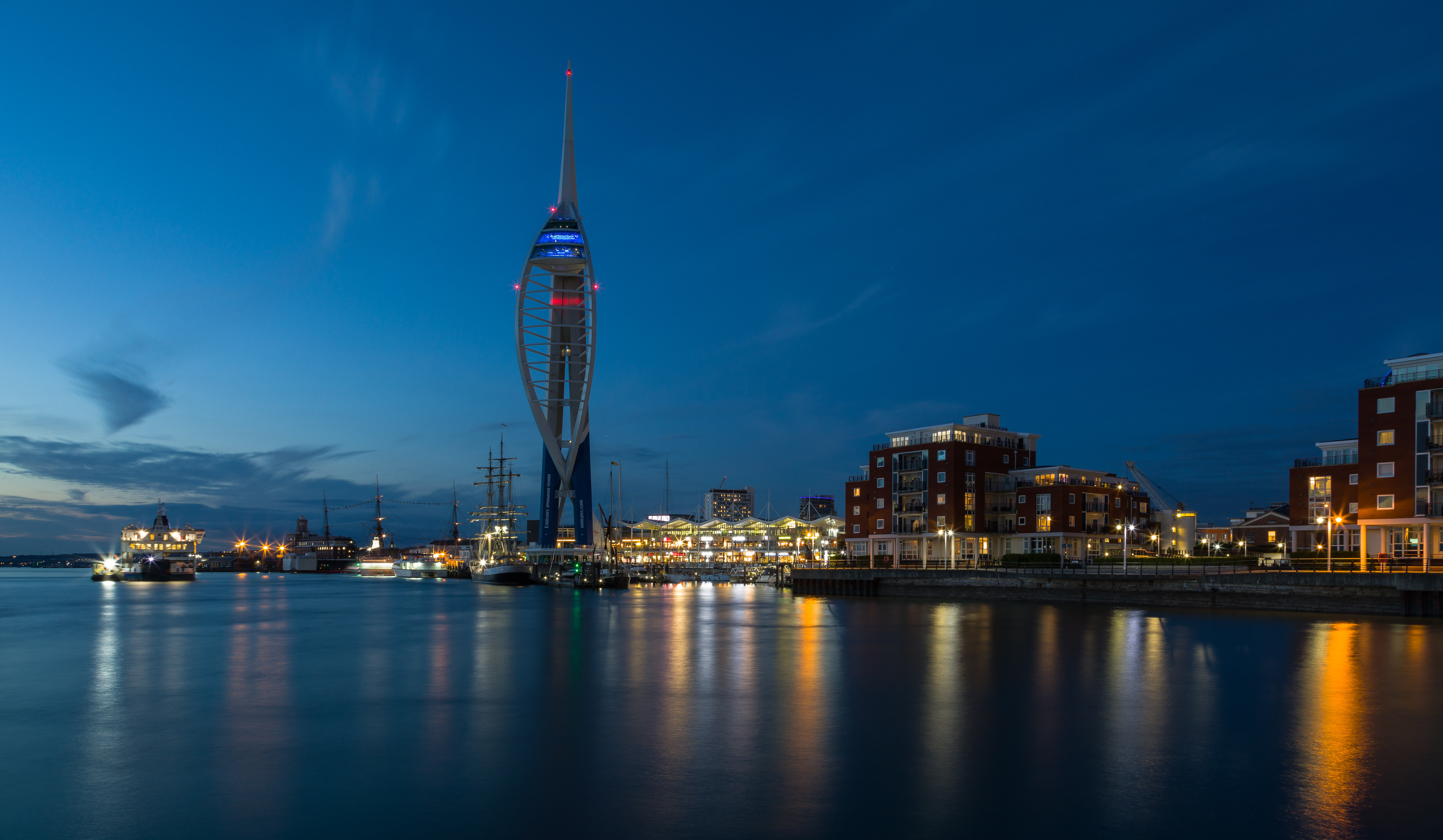
Spinnaker Tower

Old Railway Swing Bridge.....

rowing boats

Bembridge Windmill

Stokes Bay, Gosport

Bembridge IOW

The Oak & the Pylon.....

St Huberts Church at Idsworth - 3rd year of visiting and finally managed to get it with the Oilseed Rape :)

Monarch's Way, Sussex
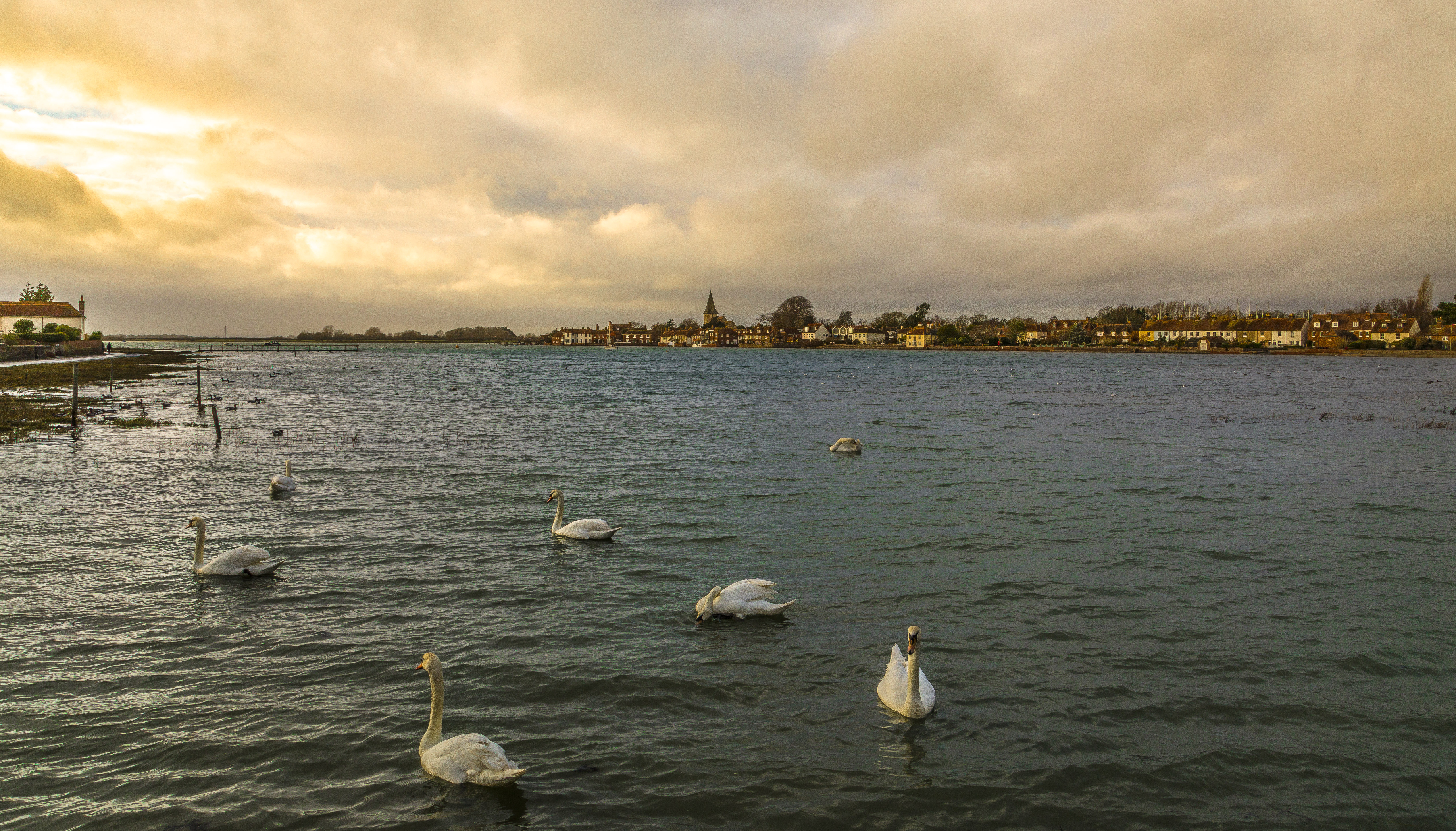
Just Swaning Around at Bosham

Solent, the strait that separates the Isle of Wight from the mainland of England. It is about 20 miles (32 kilometres) long and varies in width between 2 1⁄2 and 5 mi (4 and 8 km)

Sea Defences

More oilseed rape than sky this time - St Huberts Church at Idsworth, Hampshire

Solent, the strait that separates the Isle of Wight from the mainland of England. It is about 20 miles (32 kilometres) long and varies in width between 2 1⁄2 and 5 mi (4 and 8 km)

TERRA INCOGNITA

Beautiful view from Fort Nelson, Hapmshire

Solent Rain Clouds

Southsea Sky

Pier sunset

High Tide at Langstone Mill, Hayling Island
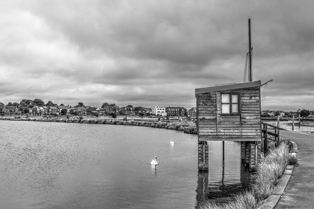
Emsworth Quay in Black and White - taken at end of August last year

LAVENDER BLUE FIELDS (Explored)

Canoe Lake reflection
Topographic Map of 40A Sinah Ln, Hayling Island PO11 0HH, UK
Find elevation by address:

Places near 40A Sinah Ln, Hayling Island PO11 0HH, UK:
Sinah Lane
25 Park Rd
Hayling Golf Club
The Kench
St Mary's Church
38 Sea Grove Ave, Hayling Island PO11 9EU, UK
Hayling Island
254 Havant Rd
Po11 9pf
Po9 1rd
Po9 1ss
Po9 1sa
Po9 1qt
Po9 2qq
65 Southleigh Rd
Old Bridge Road
Portsmouth
51 Mayfield Rd, Portsmouth PO2 0RP, UK
Widley
Po7 5ph
Recent Searches:
- Elevation of 15th Ave SE, St. Petersburg, FL, USA
- Elevation of Beall Road, Beall Rd, Florida, USA
- Elevation of Leguwa, Nepal
- Elevation of County Rd, Enterprise, AL, USA
- Elevation of Kolchuginsky District, Vladimir Oblast, Russia
- Elevation of Shustino, Vladimir Oblast, Russia
- Elevation of Lampiasi St, Sarasota, FL, USA
- Elevation of Elwyn Dr, Roanoke Rapids, NC, USA
- Elevation of Congressional Dr, Stevensville, MD, USA
- Elevation of Bellview Rd, McLean, VA, USA