Elevation of 40 Stanley Rd, Enosburg Falls, VT, USA
Location: United States > Vermont > Franklin County > Enosburg > Enosburg Falls >
Longitude: -72.861695
Latitude: 44.939691
Elevation: 186m / 610feet
Barometric Pressure: 99KPa
Elevation Map:
Satellite Map:
Related Photos:
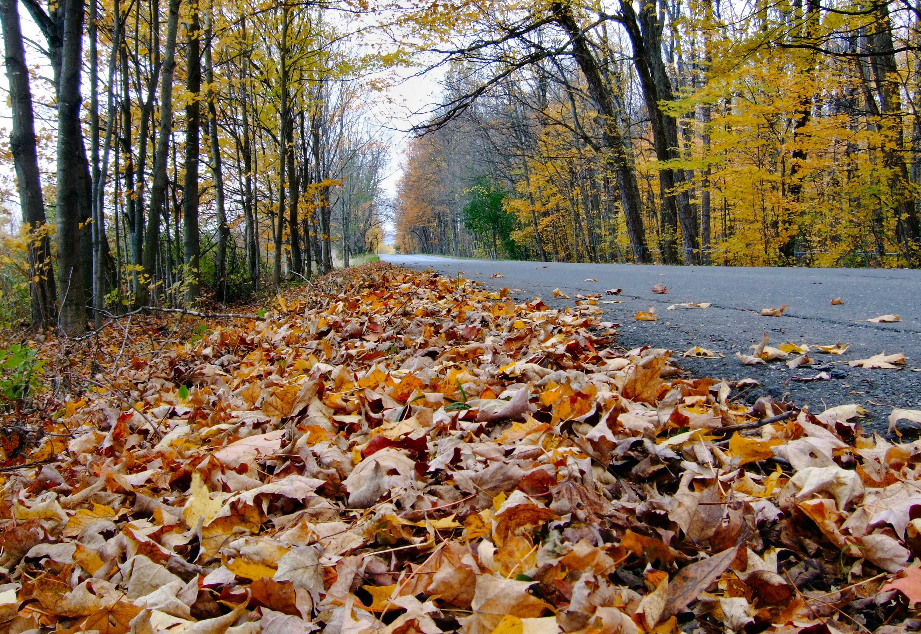
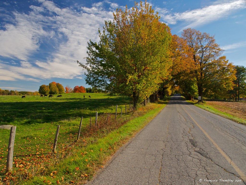
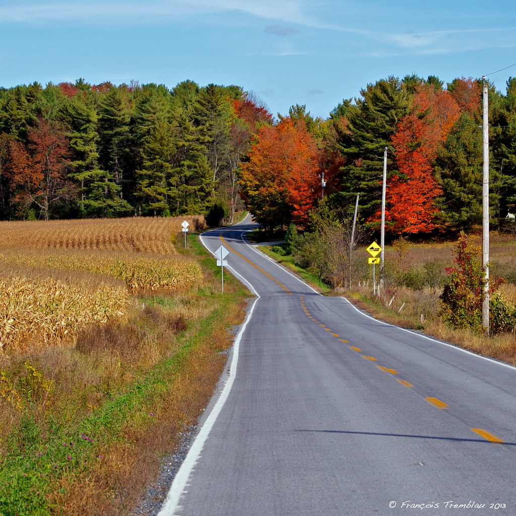
Le chemin Ridge en automne

Domaine Pinnacle, tasting house and patio
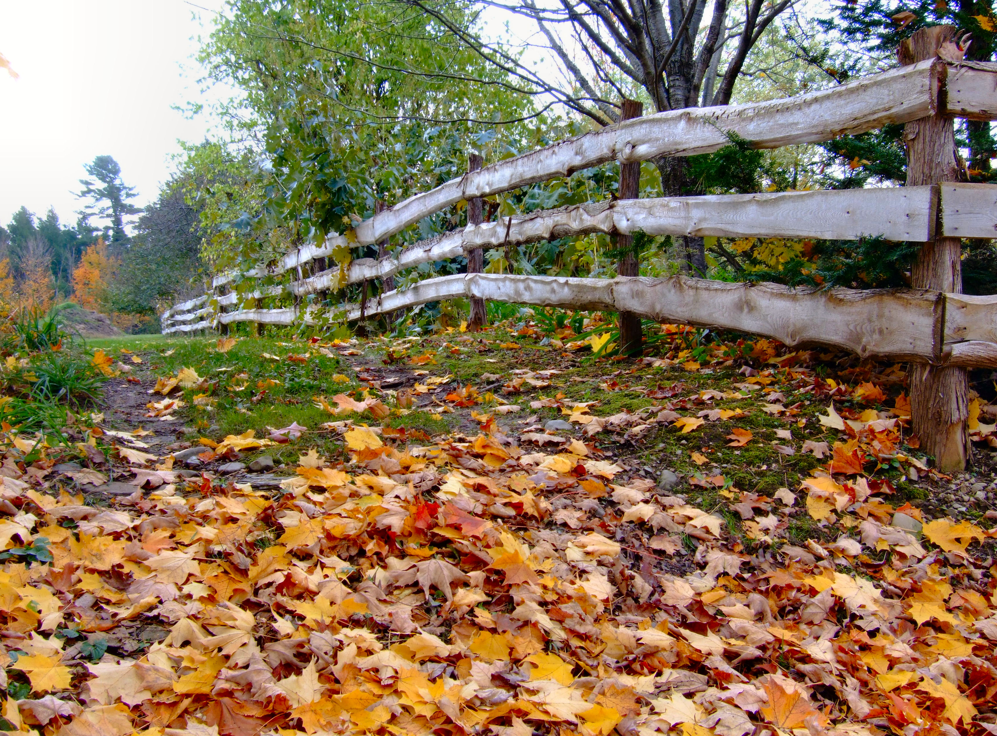
Clôture topographique
316 Towle Neighborhood Rd 10-2-2009 1-59-26 PM 3648x2736
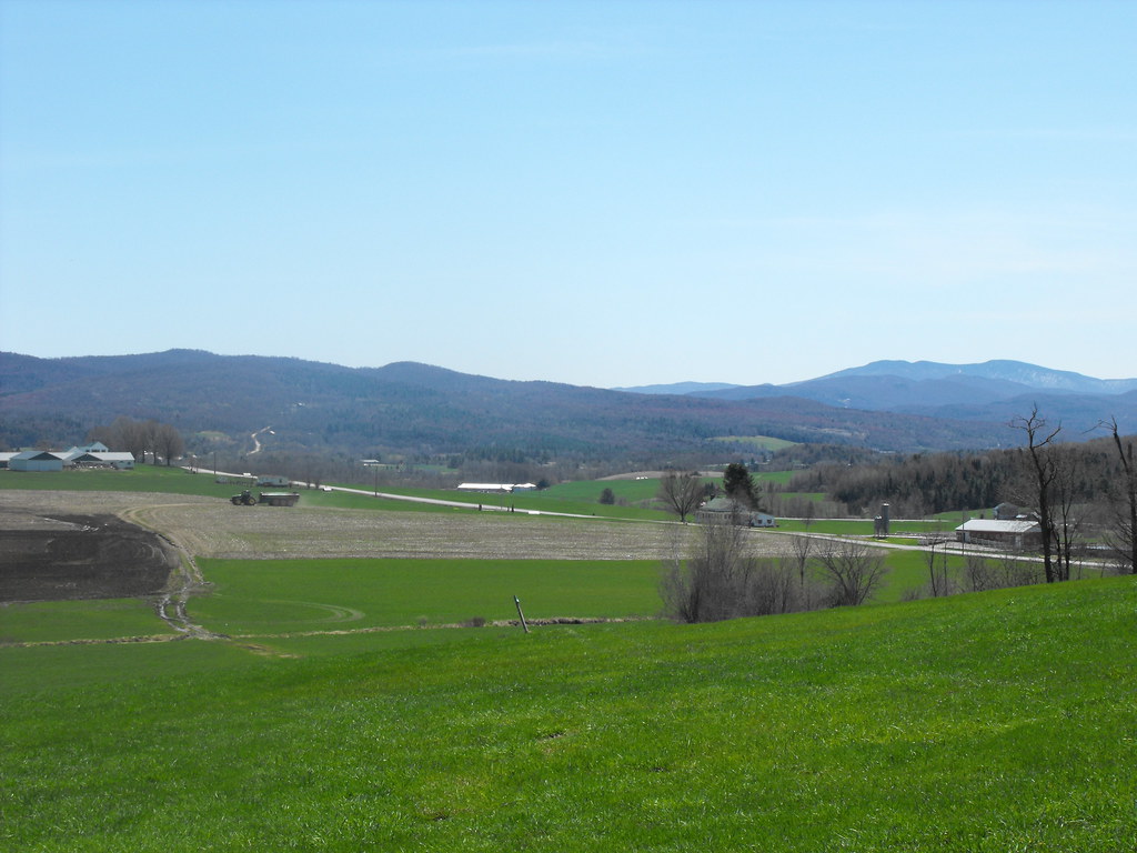
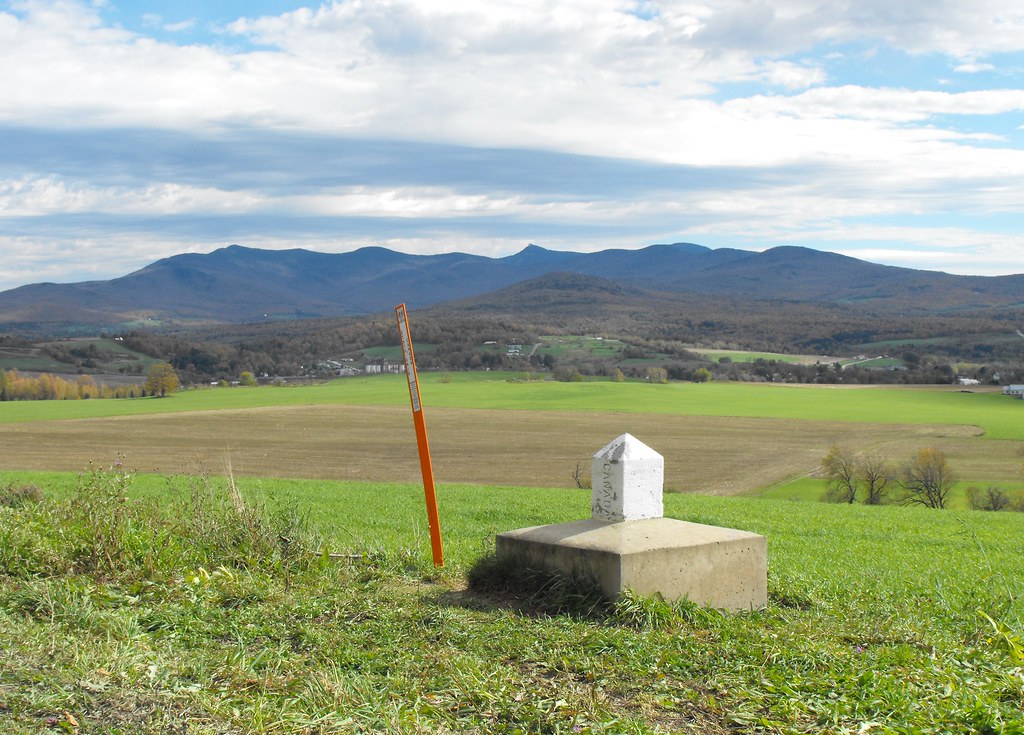
View of Vermont, USA from Canada

Media area
Les couleurs de la dernière chance
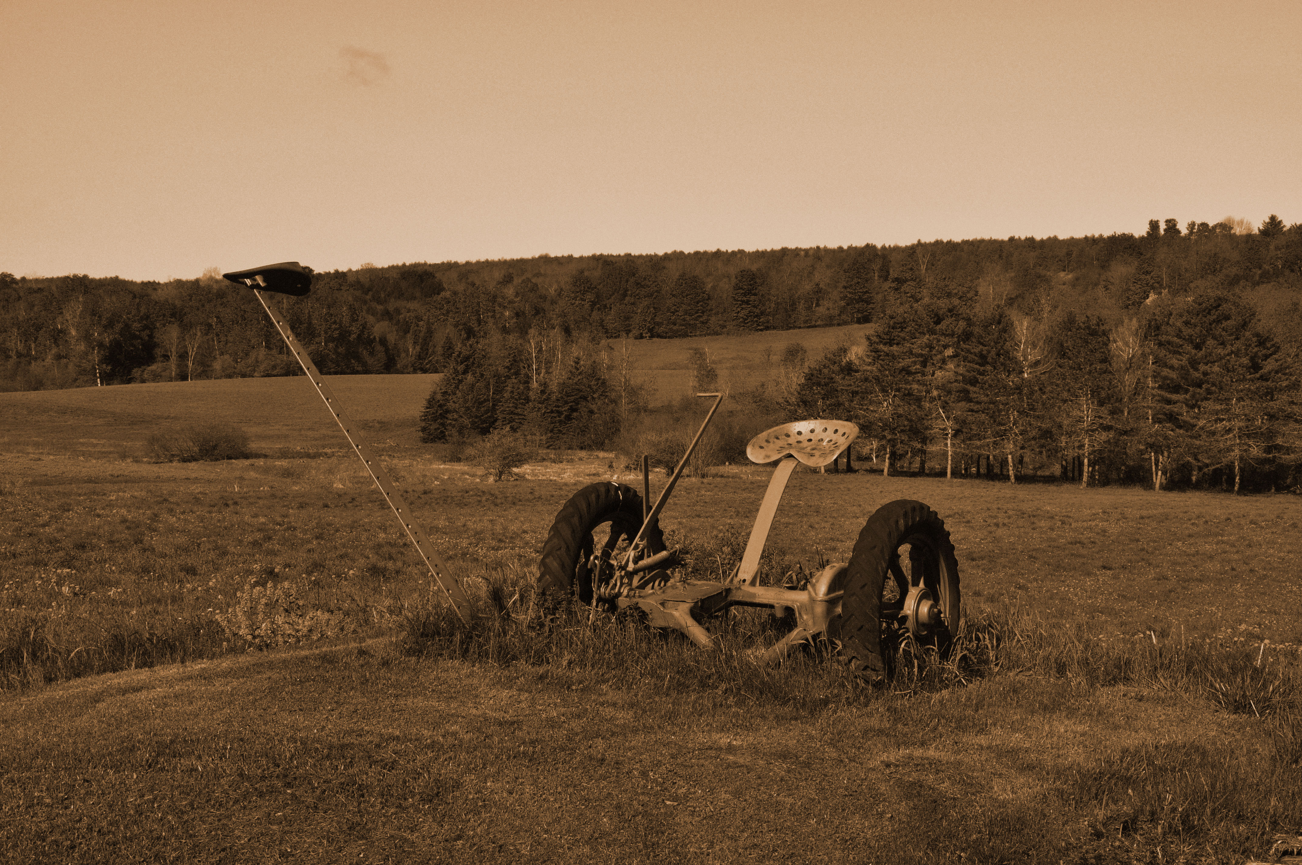
Faucheuse à foin

Le vignoble
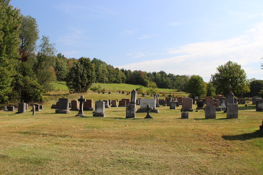
Frelighsburg, Qc Anglican Cemetery
Cimetière de Frelighsburg cemetary, Québec, Canada (P0020164)
Paysage pastoral sur le chemin Guthrie à Pigeon Hill / Pastoral landscape on the Guthrie road in Pigeon Hill, Québec (P0020124)

Paysage pastoral sur le chemin Guthrie à Pigeon Hill / Pastoral landscape on the Guthrie road in Pigeon Hill, Québec (P0020127)
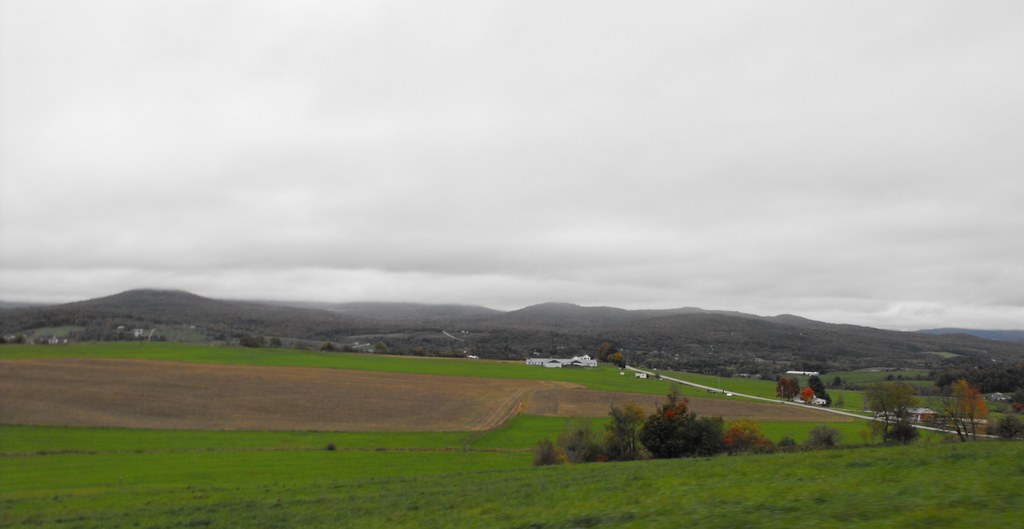
Vermont seen from Canada
rivière o brochets
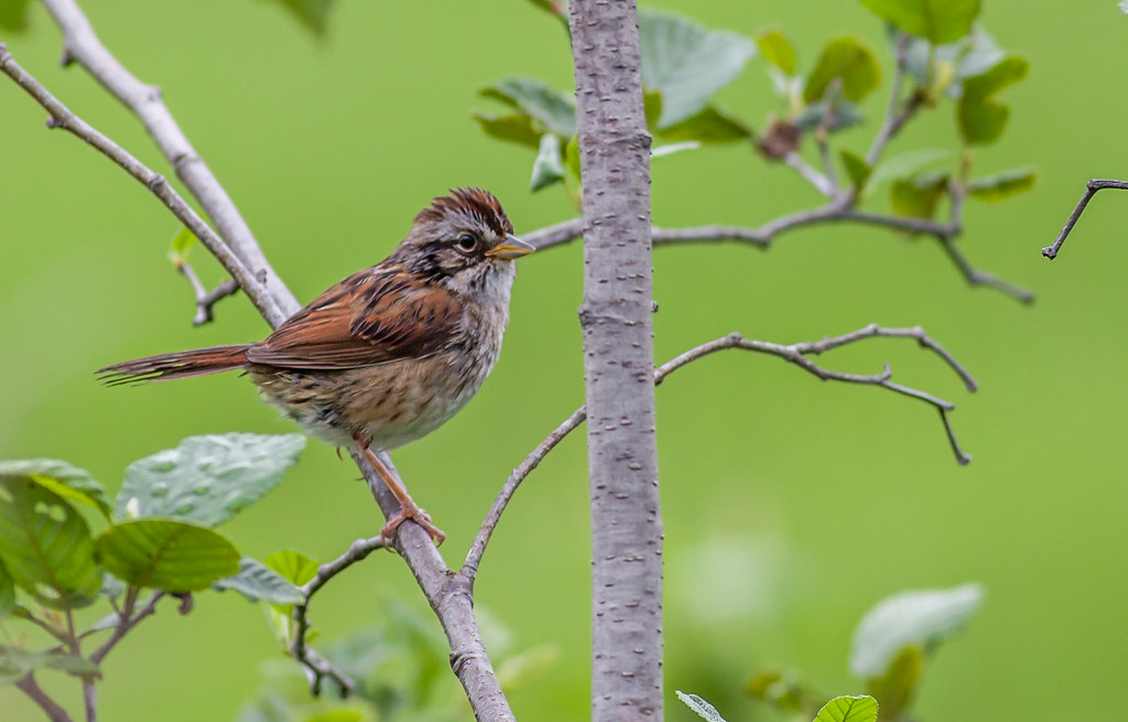
Swamp Sparrow - Bruant des marais
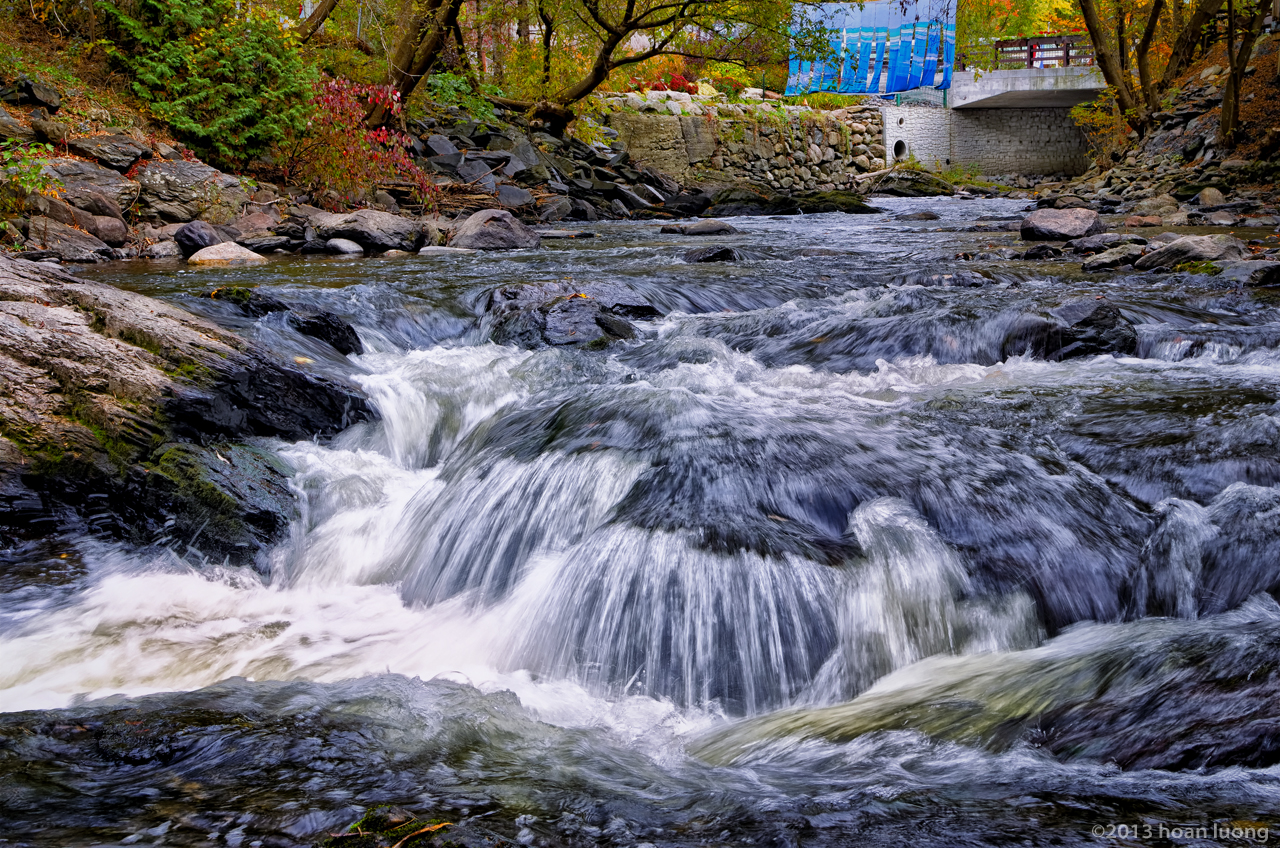
Rivière aux Brochets

Pont Guthrie, St-Armand, Québec
USA-Canada Border
Sur le chemin de Saint-Armand / On thé Saint-Armand road, Québec (P0020106)
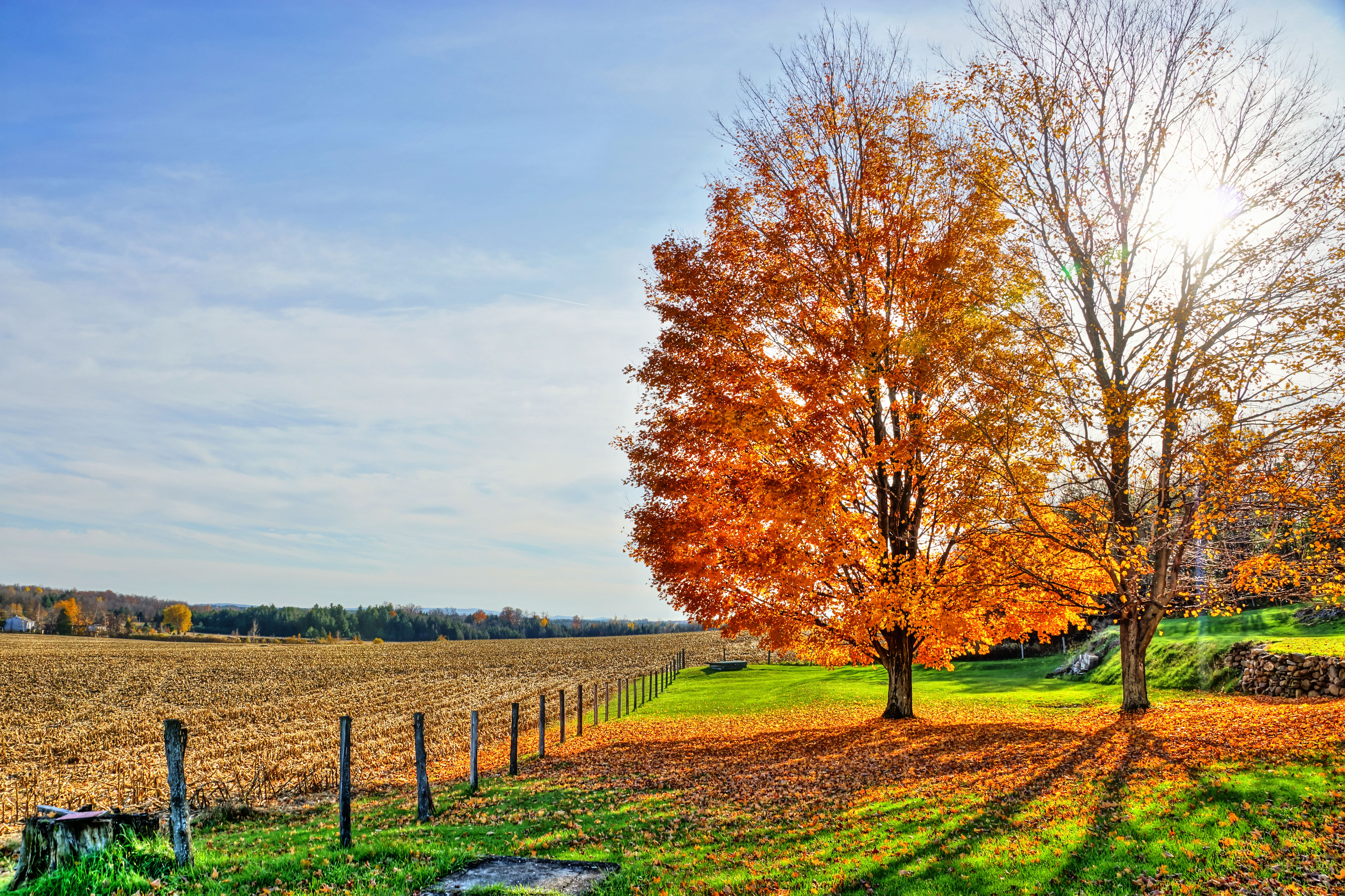
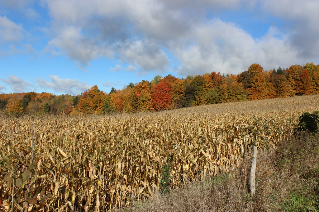
Fall colors
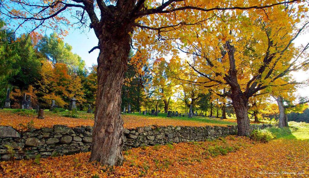
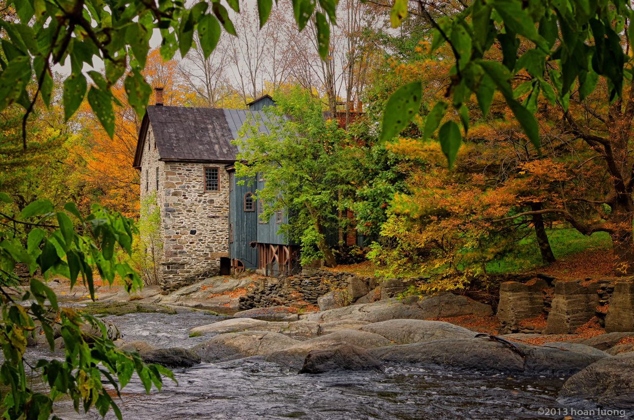
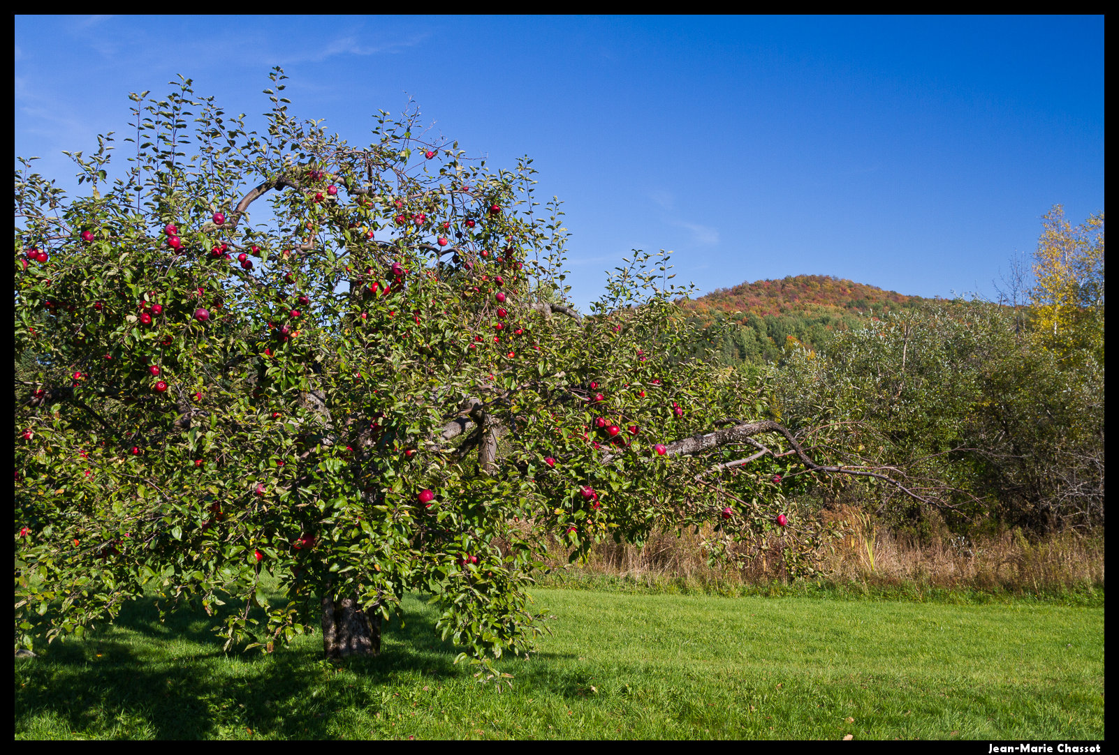
Fall in Frelighsburg
Au Clos Saragnat
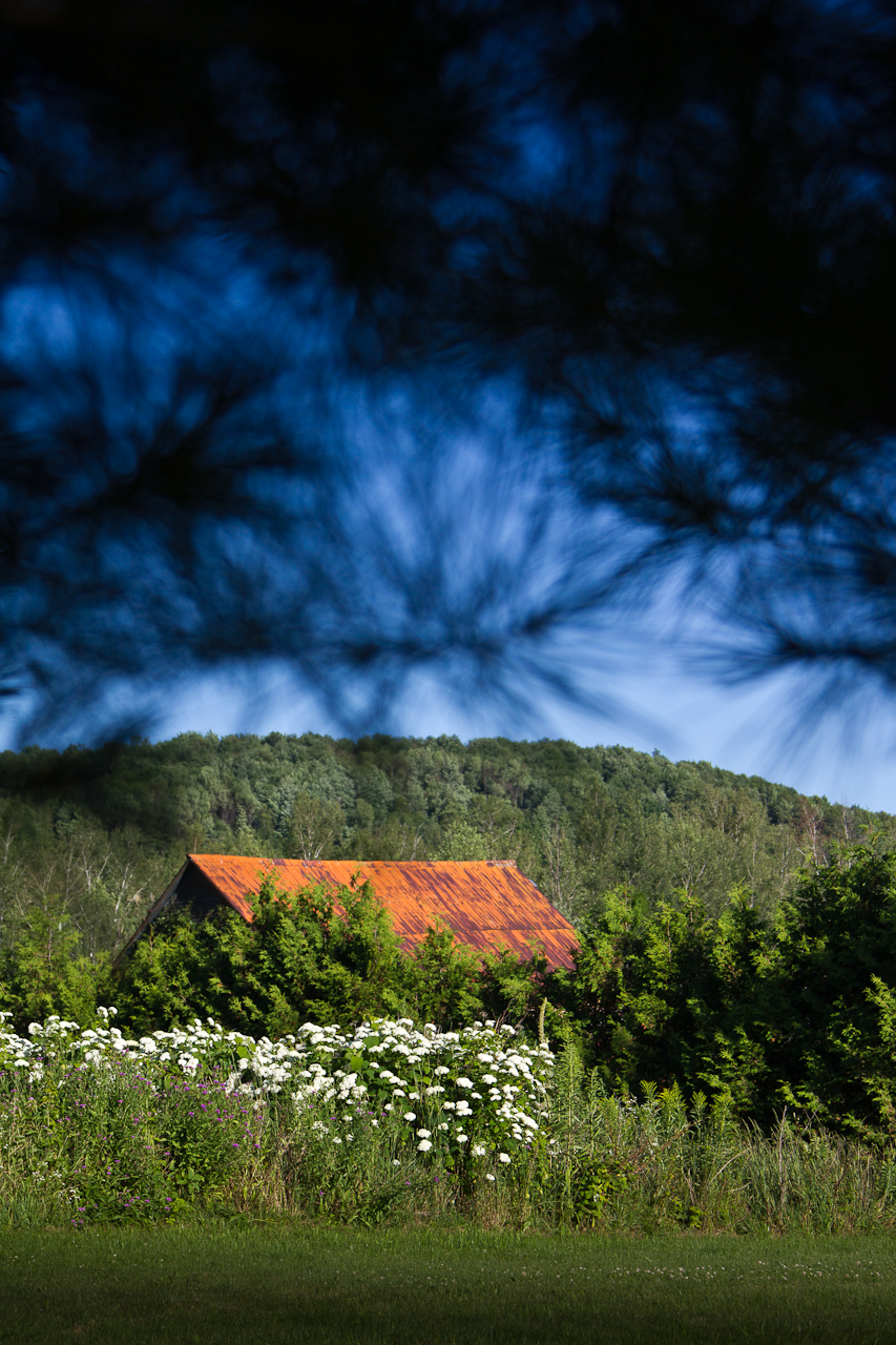
Toit rouille
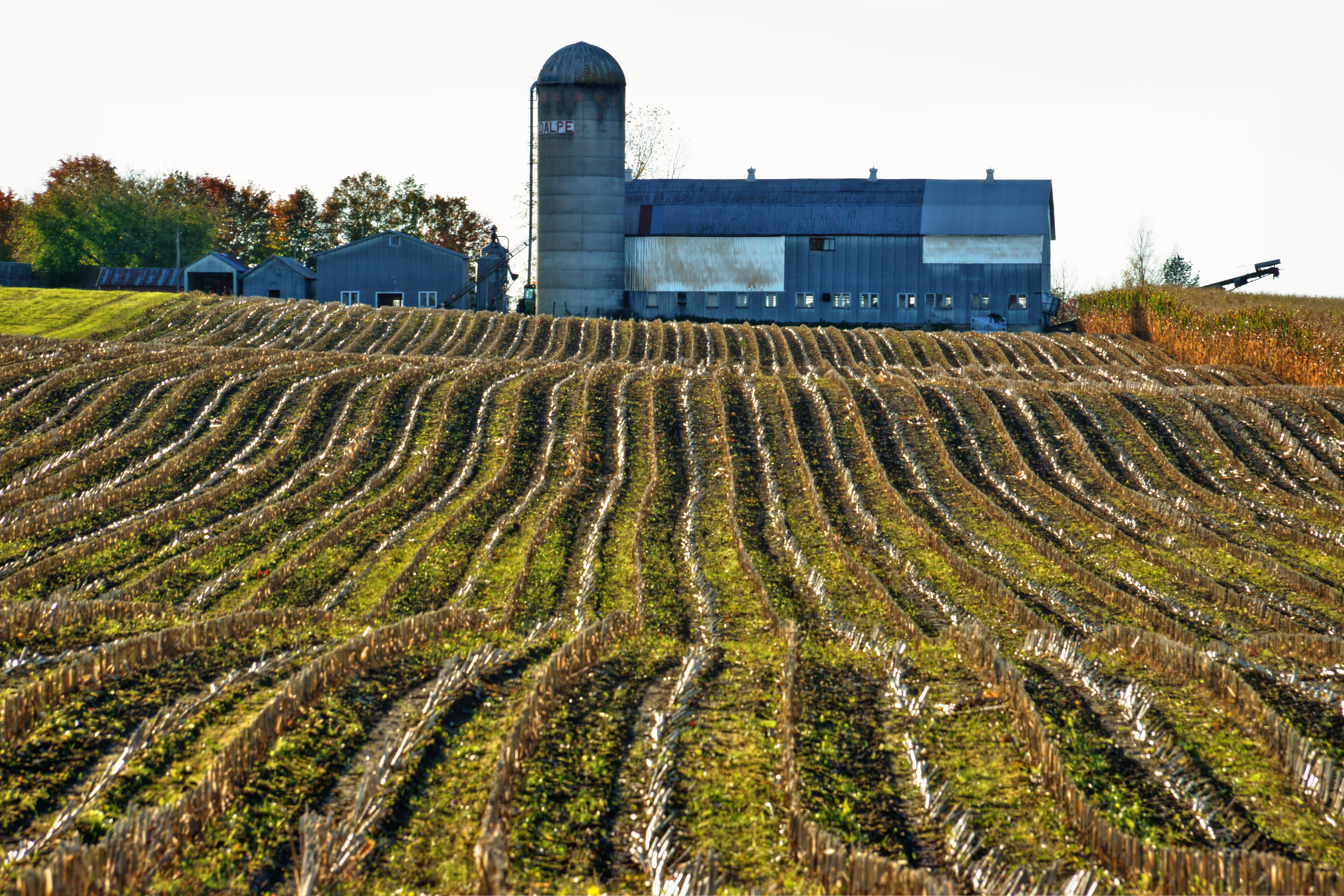
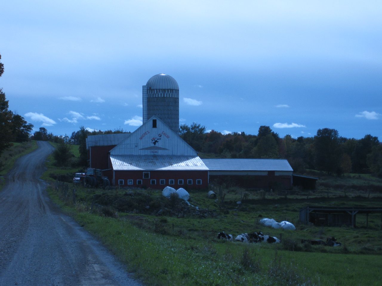
La ferme bleue

100 km de bicicleta / 100 km by bicycle
Topographic Map of 40 Stanley Rd, Enosburg Falls, VT, USA
Find elevation by address:

Places near 40 Stanley Rd, Enosburg Falls, VT, USA:
Stanley Rd, Enosburg Falls, VT, USA
531 Gilman Rd
474 Gilman Rd
Tanner Junction Road
3112 Lake Rd
3330 Middle Rd
Enosburg Falls
Franklin
Berkshire
Tyler Branch Rd, Enosburg Falls, VT, USA
97 Severance Rd, Sheldon, VT, USA
Sheldon
10 Rocky Maple Ln
Durkee Rd, Highgate Center, VT, USA
Franklin County
20 Wanzer Rd
954 Franklin Rd
66 Meadow Ln
Highgate Center
594 Gagne Rd
Recent Searches:
- Elevation of Unnamed Road, Respublika Severnaya Osetiya — Alaniya, Russia
- Elevation of Verkhny Fiagdon, North Ossetia–Alania Republic, Russia
- Elevation of F. Viola Hiway, San Rafael, Bulacan, Philippines
- Elevation of Herbage Dr, Gulfport, MS, USA
- Elevation of Lilac Cir, Haldimand, ON N3W 2G9, Canada
- Elevation of Harrod Branch Road, Harrod Branch Rd, Kentucky, USA
- Elevation of Wyndham Grand Barbados Sam Lords Castle All Inclusive Resort, End of Belair Road, Long Bay, Bridgetown Barbados
- Elevation of Iga Trl, Maggie Valley, NC, USA
- Elevation of N Co Rd 31D, Loveland, CO, USA
- Elevation of Lindever Ln, Palmetto, FL, USA