Elevation of 40 S W, Idaho, USA
Location: United States > Idaho > Cassia County >
Longitude: -113.94511
Latitude: 42.529337
Elevation: 1270m / 4167feet
Barometric Pressure: 87KPa
Elevation Map:
Satellite Map:
Related Photos:

Paul Idaho - Old LDS Meetinghouse View #3
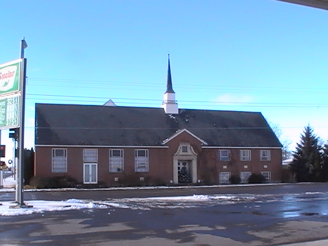
Paul Idaho - Old LDS Meetinghouse View #4
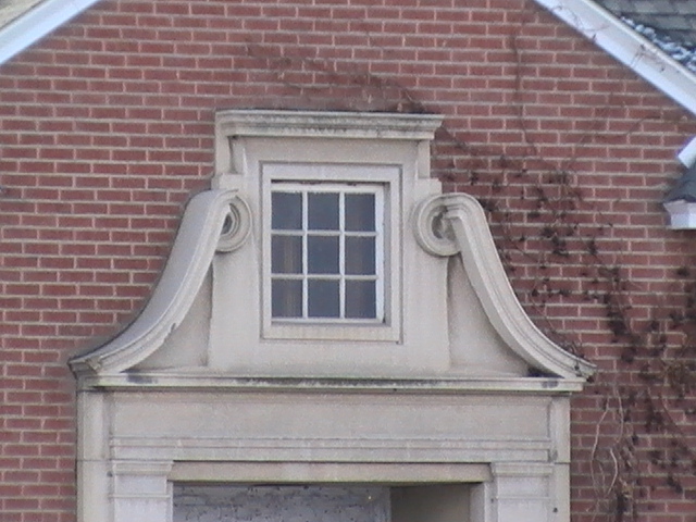
Paul Idaho - Old LDS Meetinghouse View #2
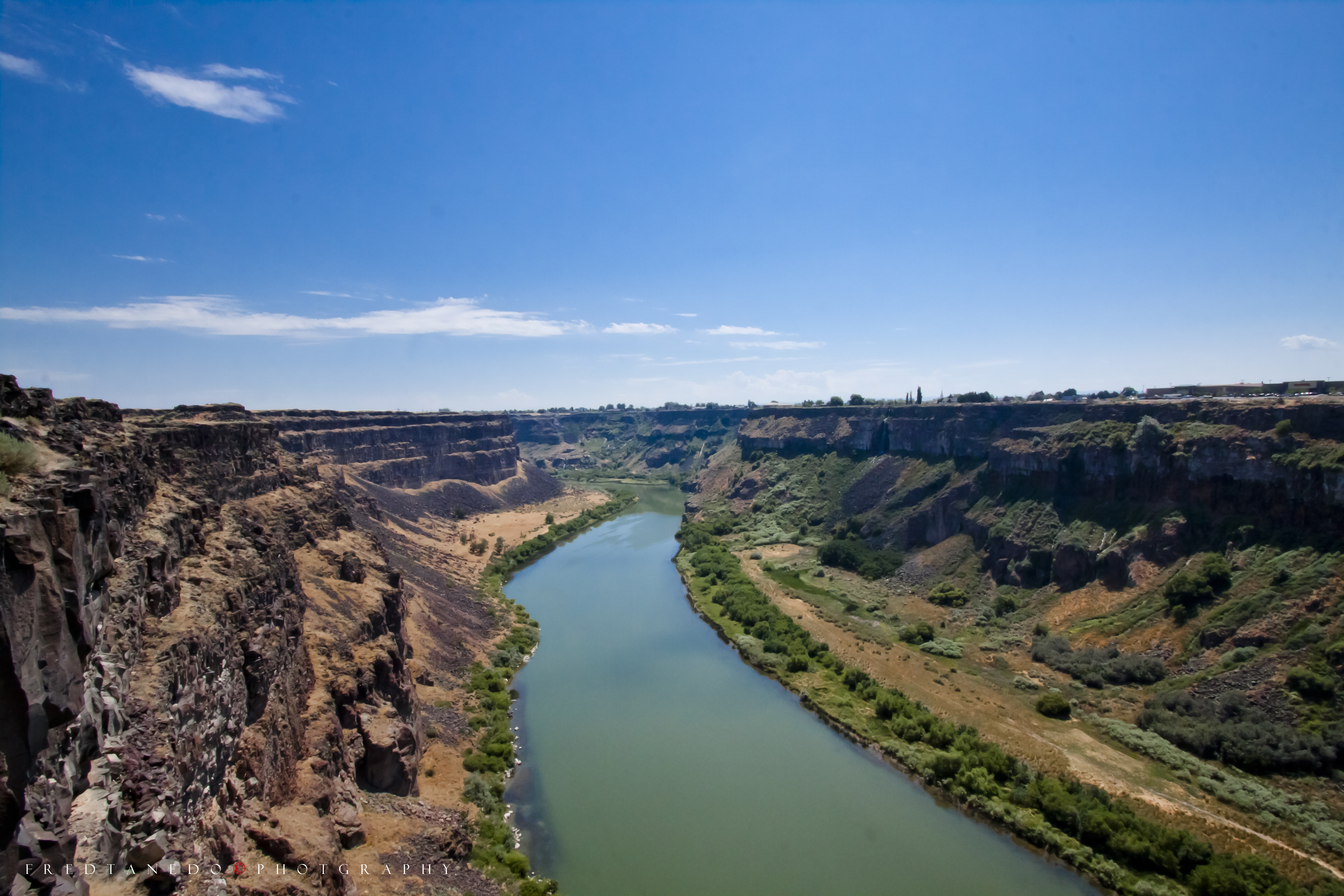
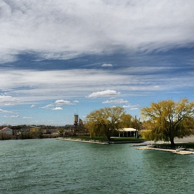
Snake River
Rather desolate here

Camera Roll-1515
#SnakeRiver #Idaho #Burley #awesomeshots #iglove #Androidnesia #SamsungGalaxyNote3 @samsungcamera #bestshots
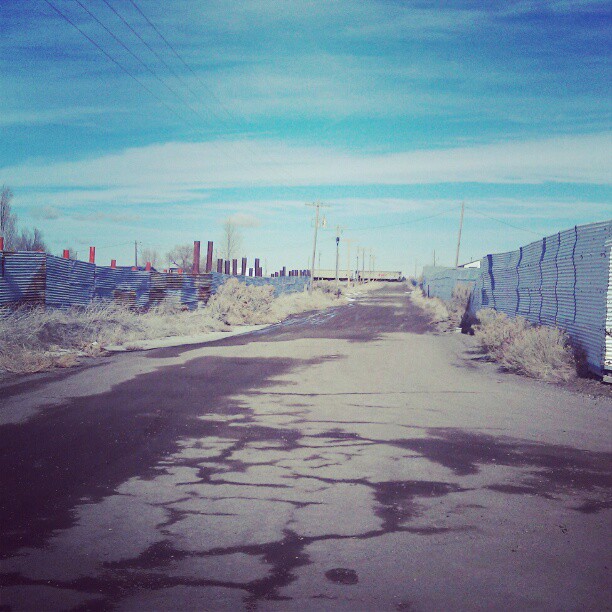
clear skies for lame and water
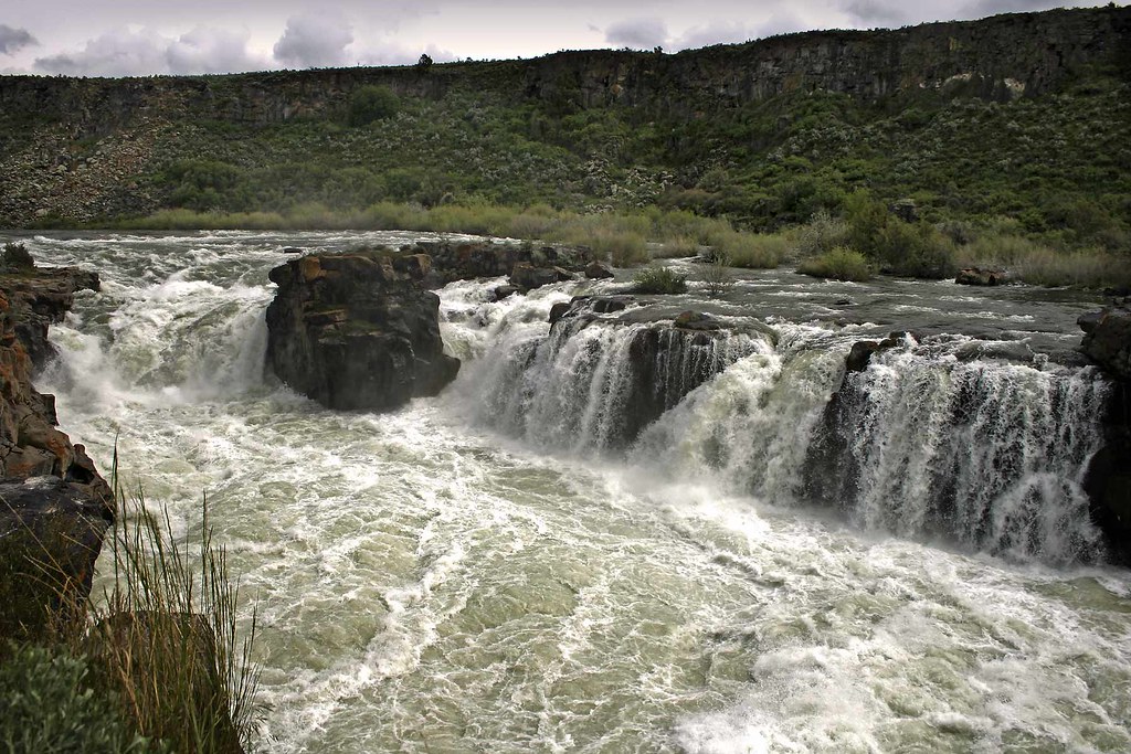
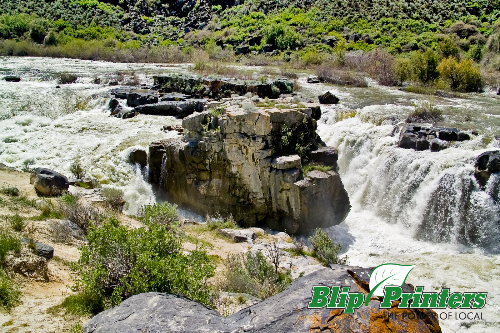
Cauldron Linn

Camera Roll-1512
FH5G9114.jpg

Idaho Potato Farm

#birds #Nature #Idaho

CW6A6852.jpg

102_9764.jpg

102_9949.jpg
Topographic Map of 40 S W, Idaho, USA
Find elevation by address:

Places near 40 S W, Idaho, USA:
South W, Burley, ID, USA
E N, Murtaugh, ID, USA
E S, Hazelton, ID, USA
S E, Hazelton, ID, USA
Hazelton
Murtaugh
E N, Murtaugh, ID, USA
Eden
Hunt Rd, Jerome, ID, USA
E S, Eden, ID, USA
Tipperary Corner
Hansen
E N, Hansen, ID, USA
Overland Ave W, Hansen, ID, USA
2444 Rock Creek Rd
2444 Rock Creek Rd
3337 N 3800 E
S E, Jerome, ID, USA
N E, Hansen, ID, USA
A S E, Jerome, ID, USA
Recent Searches:
- Elevation of Steadfast Ct, Daphne, AL, USA
- Elevation of Lagasgasan, X+CQH, Tiaong, Quezon, Philippines
- Elevation of Rojo Ct, Atascadero, CA, USA
- Elevation of Flagstaff Drive, Flagstaff Dr, North Carolina, USA
- Elevation of Avery Ln, Lakeland, FL, USA
- Elevation of Woolwine, VA, USA
- Elevation of Lumagwas Diversified Farmers Multi-Purpose Cooperative, Lumagwas, Adtuyon, RV32+MH7, Pangantucan, Bukidnon, Philippines
- Elevation of Homestead Ridge, New Braunfels, TX, USA
- Elevation of Orchard Road, Orchard Rd, Marlborough, NY, USA
- Elevation of 12 Hutchinson Woods Dr, Fletcher, NC, USA