Elevation of 3S, Peru
Location: Peru > Puno > Melgar Province >
Longitude: -70.816700
Latitude: -14.602482
Elevation: 3980m / 13058feet
Barometric Pressure: 62KPa
Elevation Map:
Satellite Map:
Related Photos:
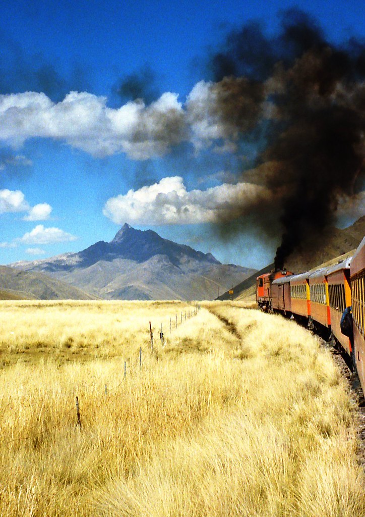
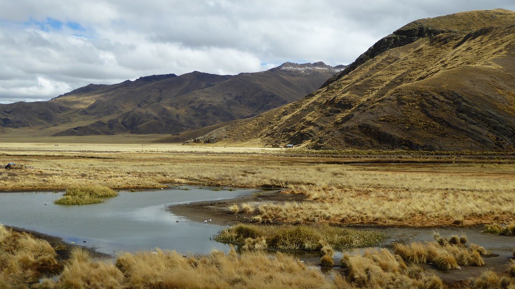
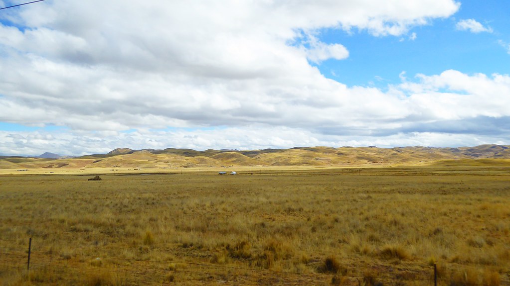
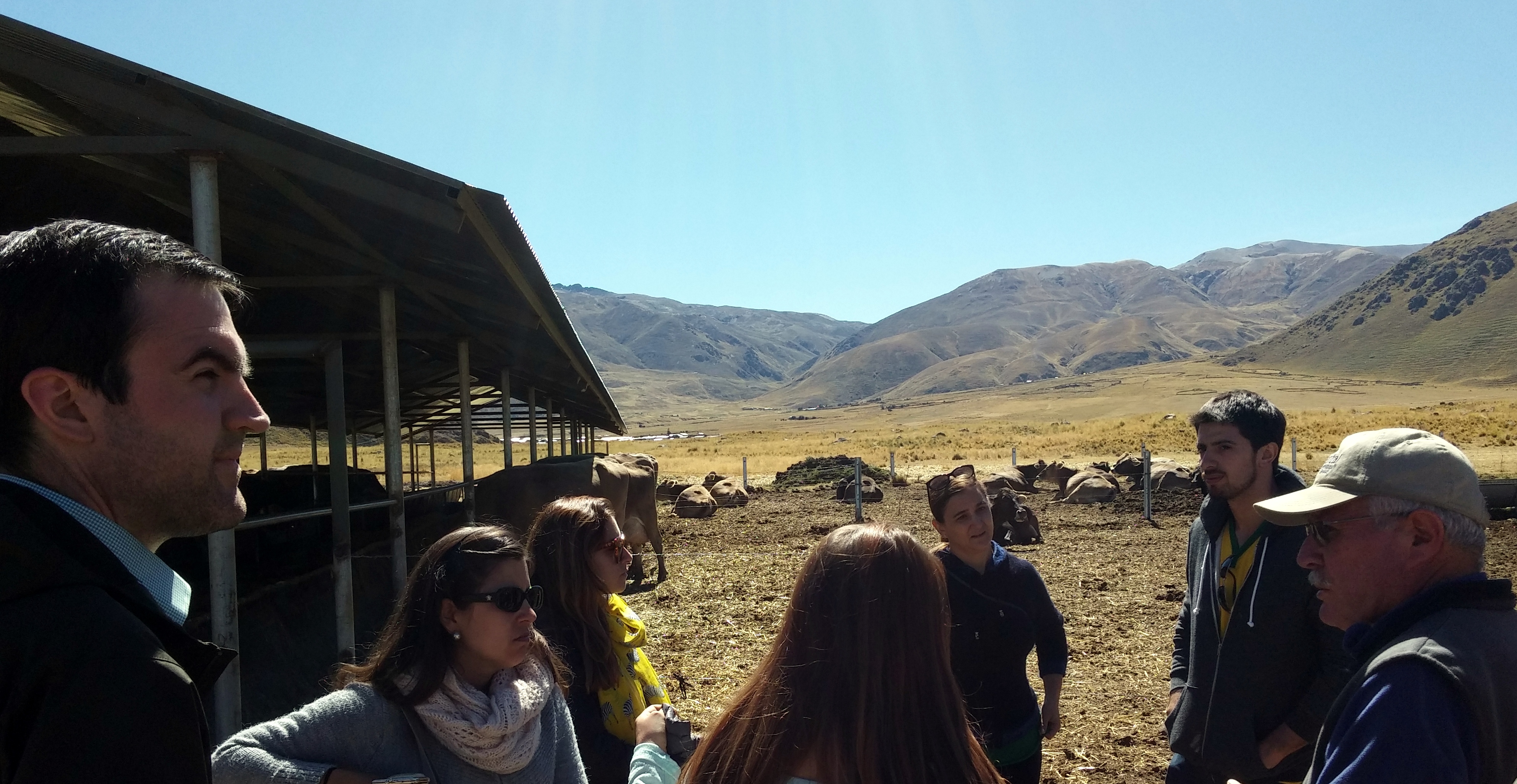
Traveling Andes

La Raya Pass

Political (dis)affiliation.
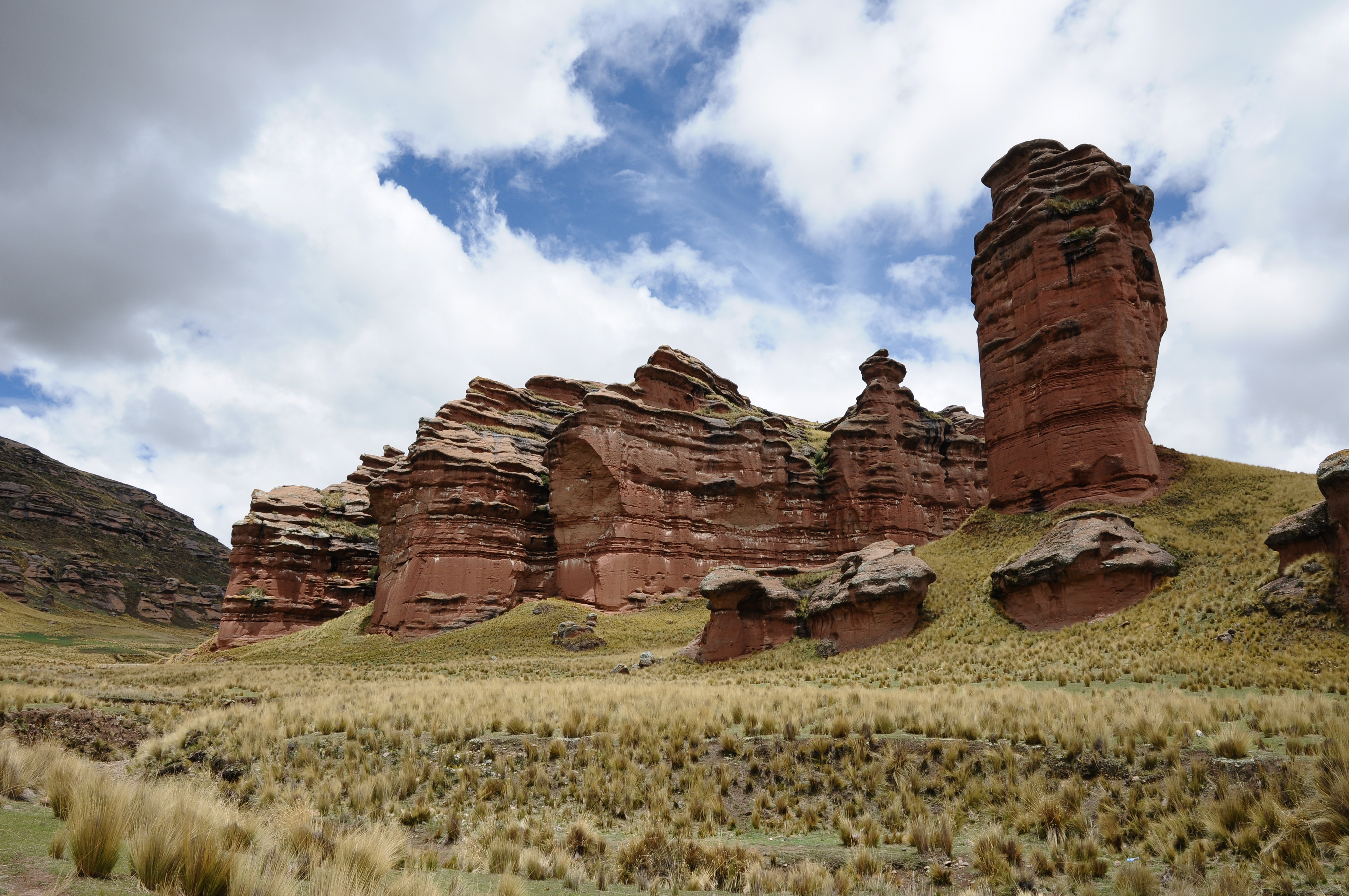
Cañón Pétreo de Tinajani
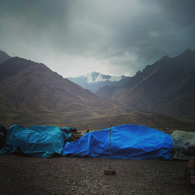
Khunurana (5420m)
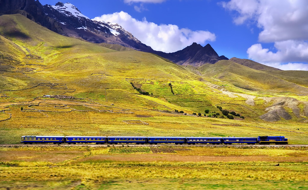
Train over the Andes in Peru
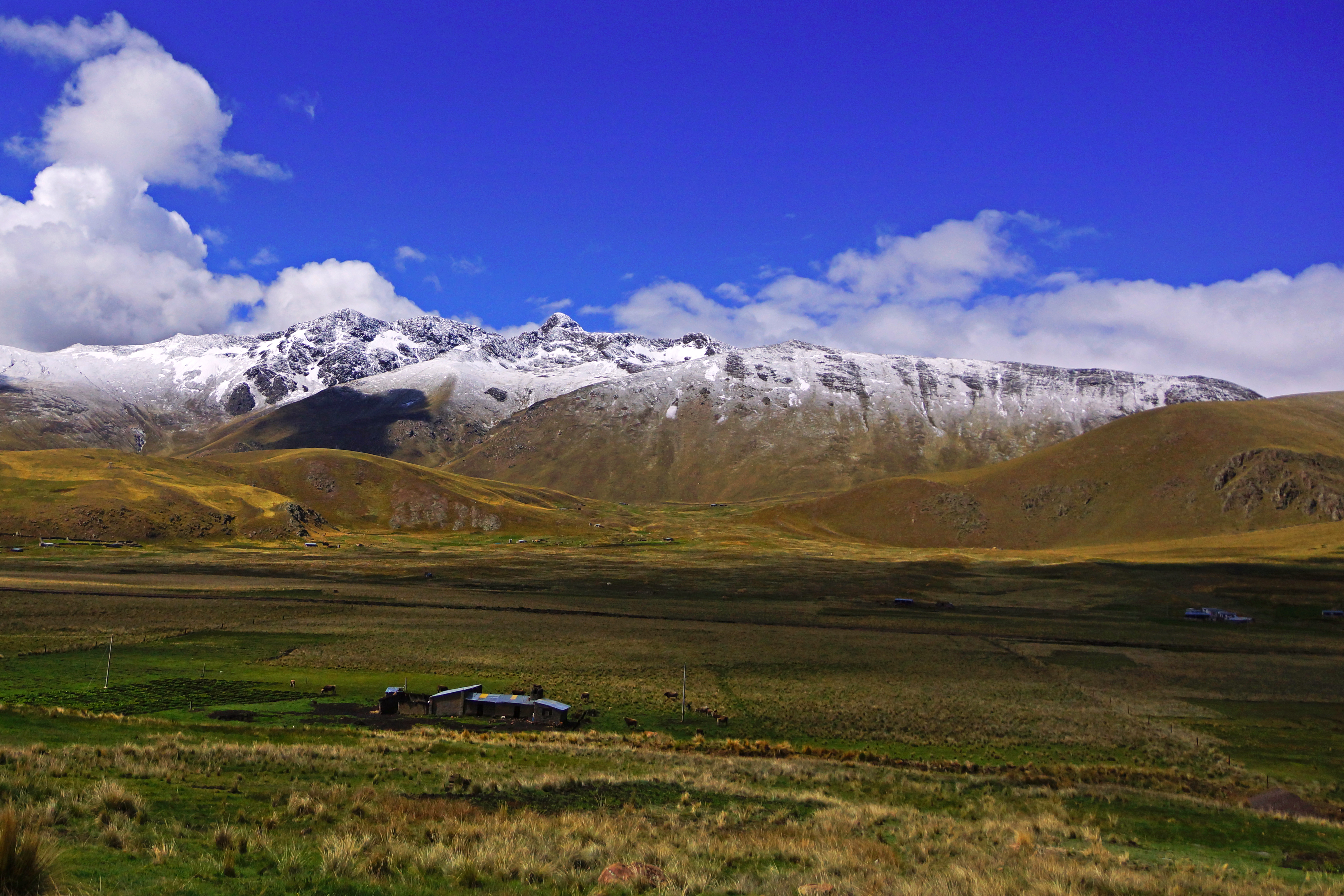
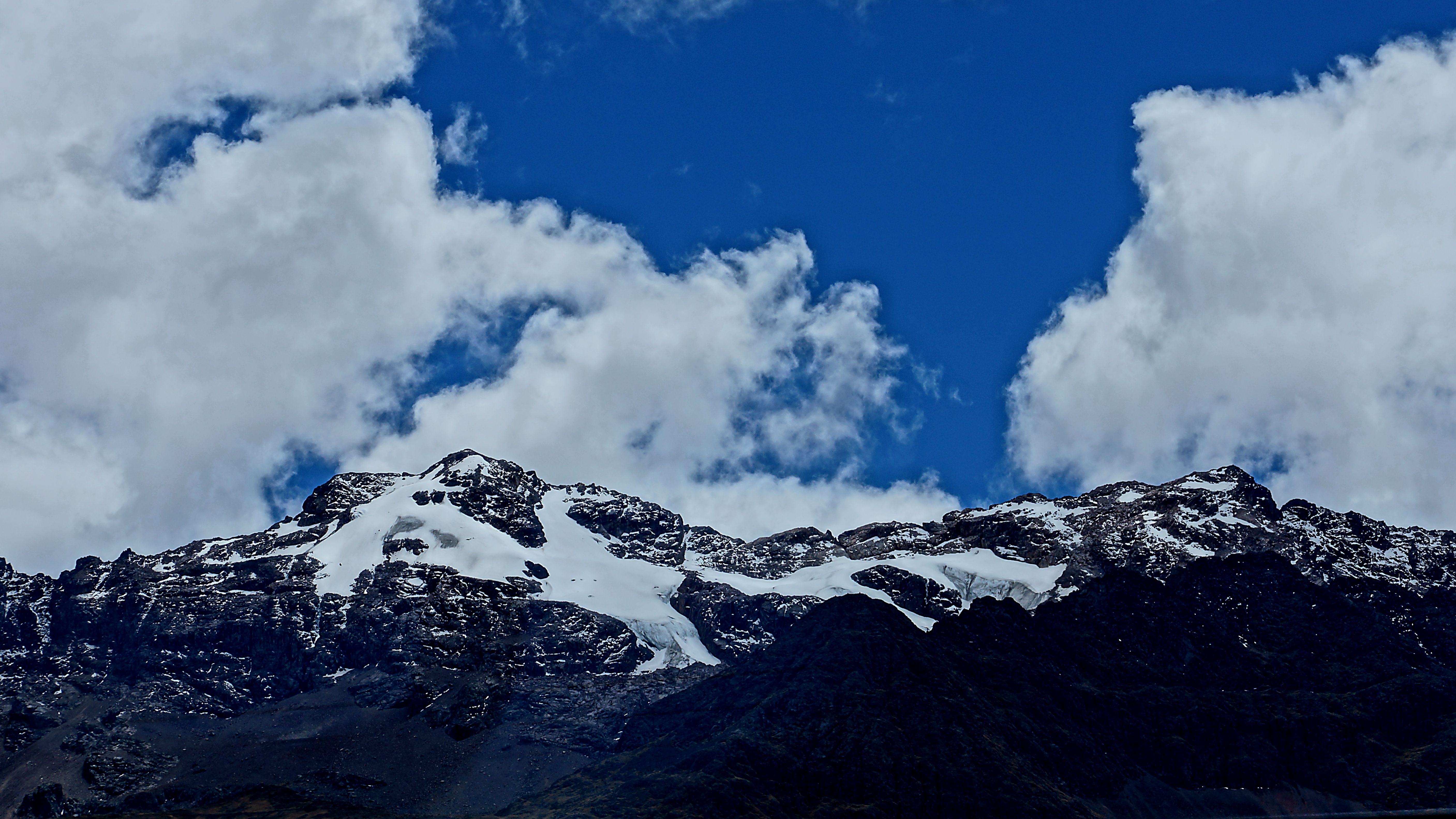
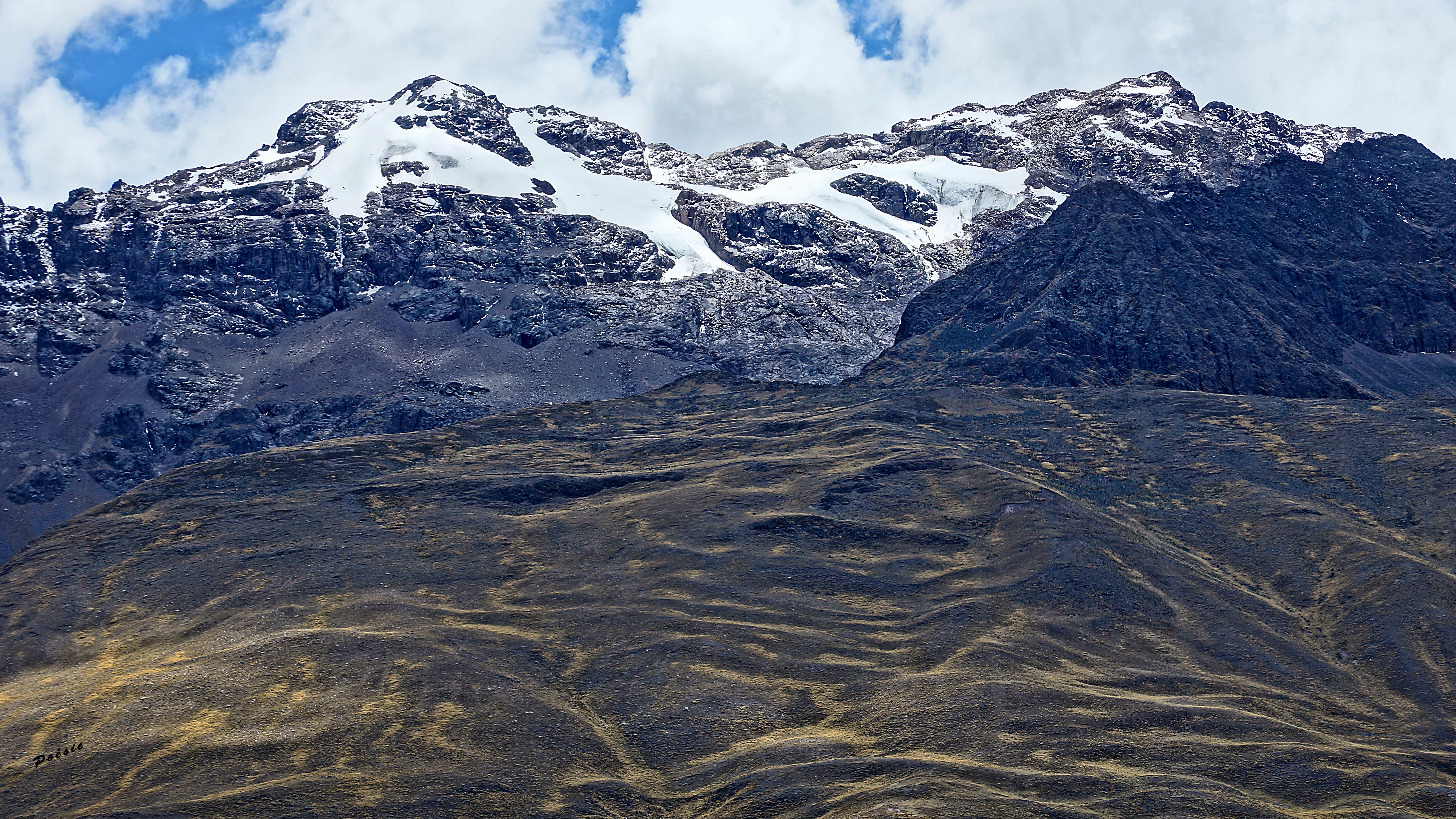
Blue sky over snowtop mountains, Peru
Apu Chiboya - Abra La Raya
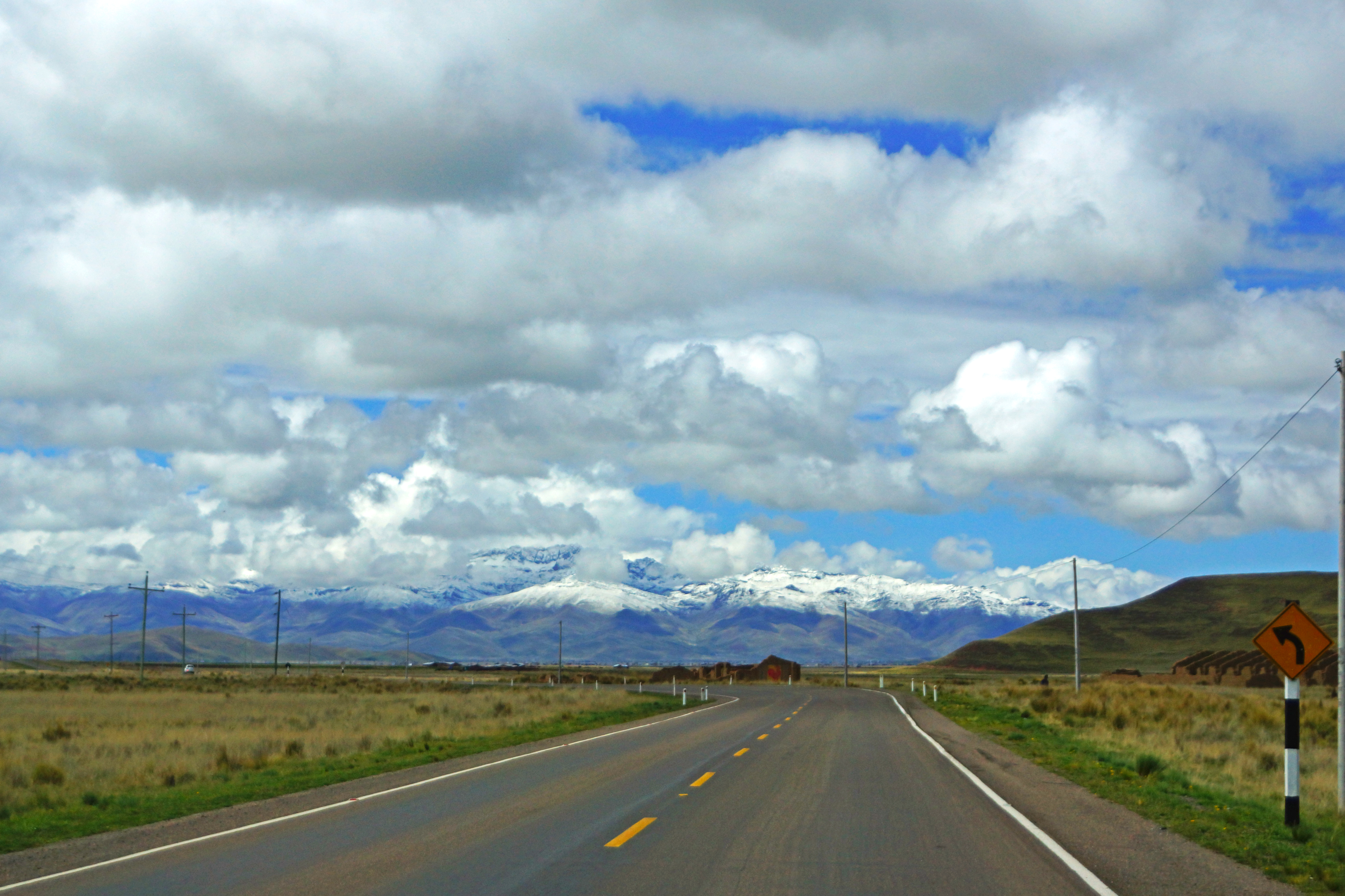
Fantastic sky over motorway 3S, Peru

Paysages Andins-Altiplano-PEROU
Cusco to Puno

Cusco to Puno
150813 5Abra La Raya 14
150813 5Abra La Raya 17
Puno & Lake Titicaca (35)
LA RAYA
LA RAYA
Topographic Map of 3S, Peru
Find elevation by address:

Places near 3S, Peru:
3S, Peru
3S, Peru
3S, Peru
Melgar Province
3S, Peru
3S, Peru
Paso La Raya
Abra La Raya
3S, Peru
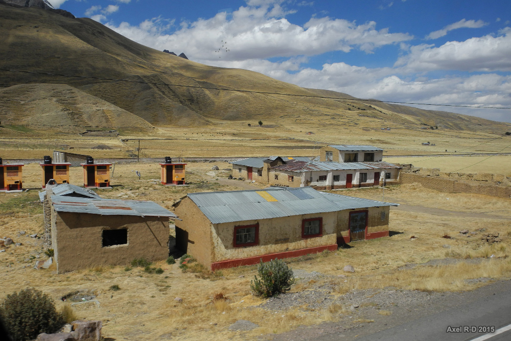
Ayaviri
Carretera Interoceanica 15, Peru
Carretera Interoceanica 62, Peru
Carretera Interoceanica, Peru
Carretera Interoceanica, Peru
Sicuani
Pucara
Macusani
34J, Peru
Recent Searches:
- Elevation of Congressional Dr, Stevensville, MD, USA
- Elevation of Bellview Rd, McLean, VA, USA
- Elevation of Stage Island Rd, Chatham, MA, USA
- Elevation of Shibuya Scramble Crossing, 21 Udagawacho, Shibuya City, Tokyo -, Japan
- Elevation of Jadagoniai, Kaunas District Municipality, Lithuania
- Elevation of Pagonija rock, Kranto 7-oji g. 8"N, Kaunas, Lithuania
- Elevation of Co Rd 87, Jamestown, CO, USA
- Elevation of Tenjo, Cundinamarca, Colombia
- Elevation of Côte-des-Neiges, Montreal, QC H4A 3J6, Canada
- Elevation of Bobcat Dr, Helena, MT, USA