Elevation of 36 Lovells Ln, Mashpee, MA, USA
Location: United States > Massachusetts > Barnstable County > Mashpee >
Longitude: -70.487237
Latitude: 41.6475266
Elevation: 21m / 69feet
Barometric Pressure: 101KPa
Elevation Map:
Satellite Map:
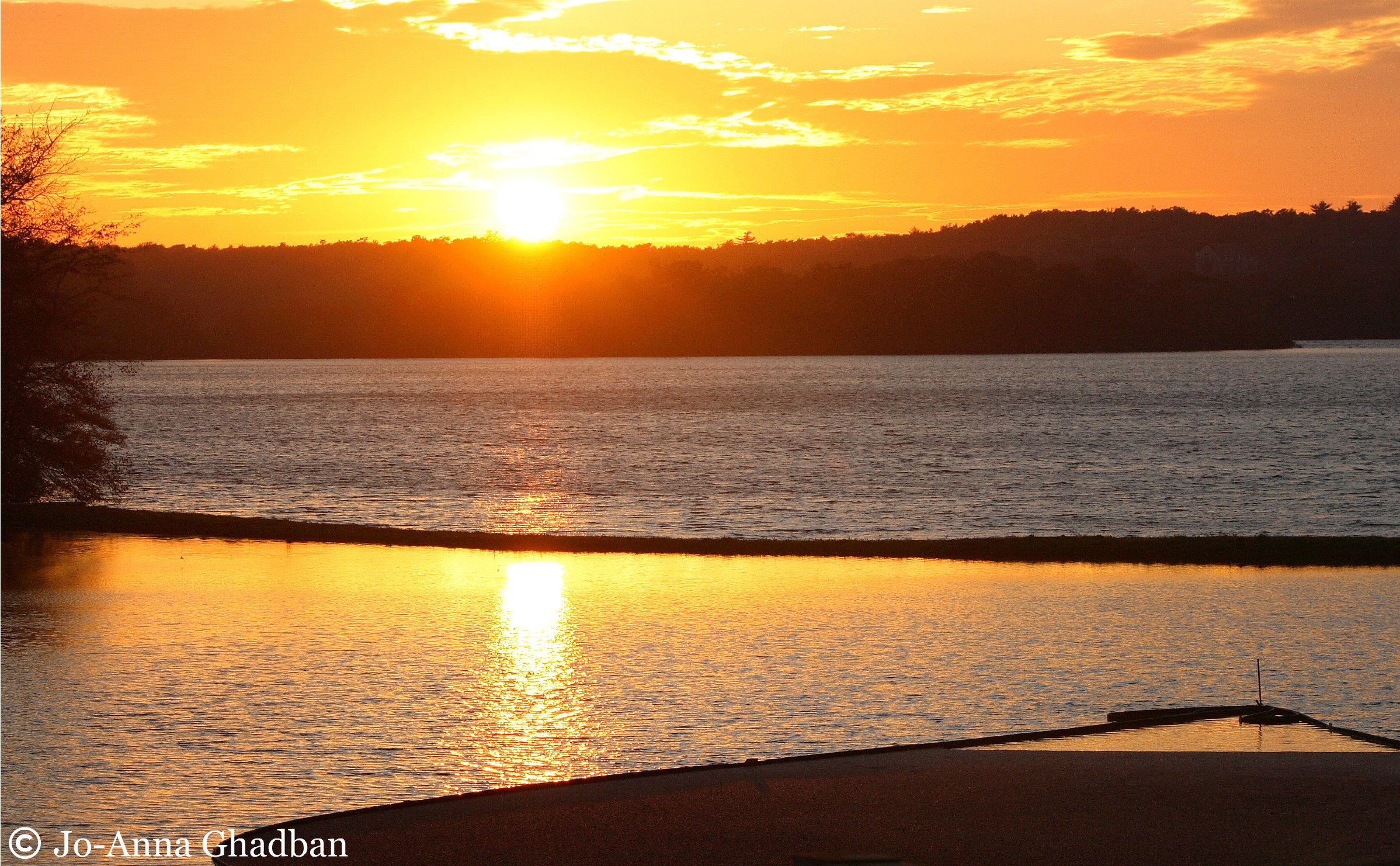
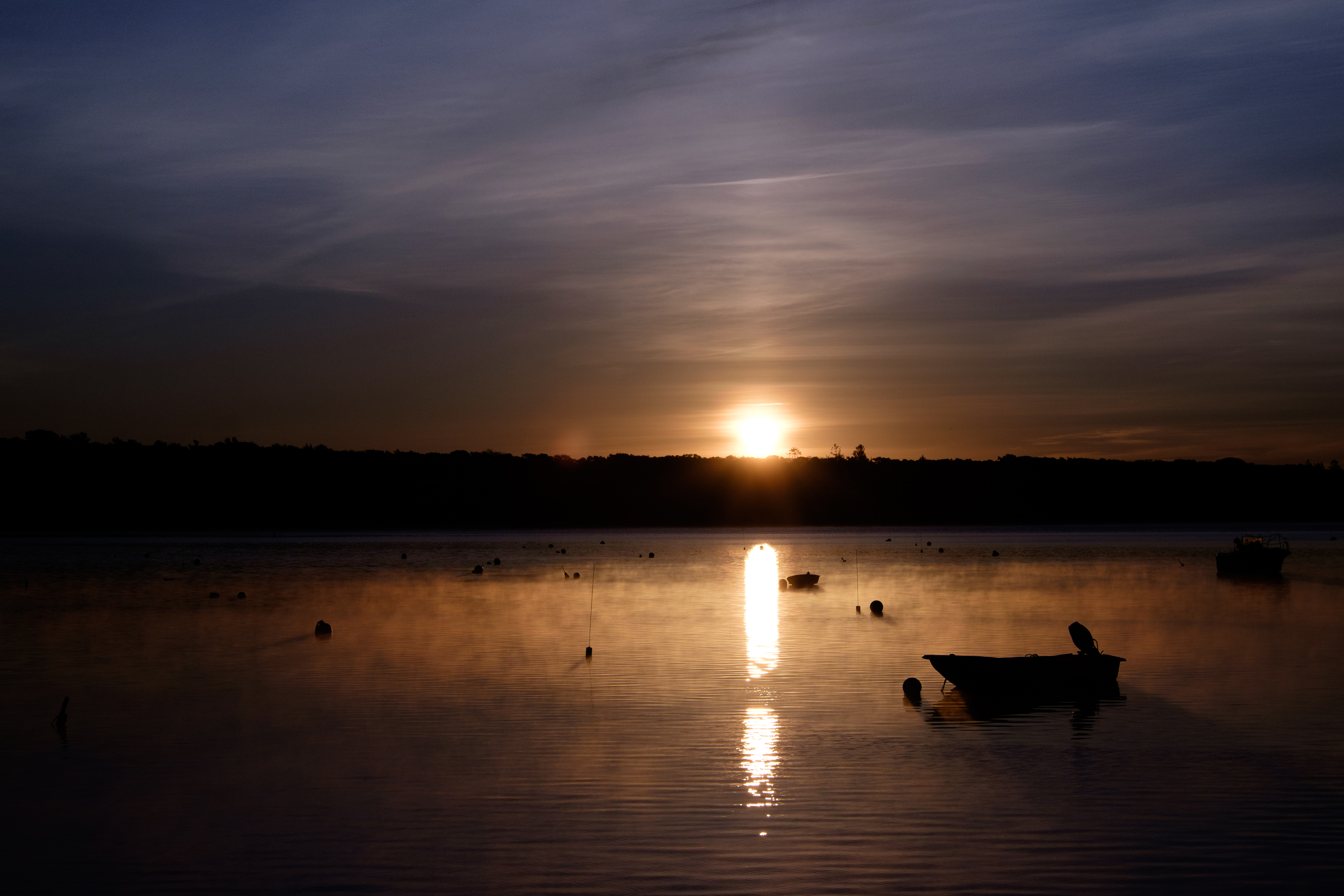
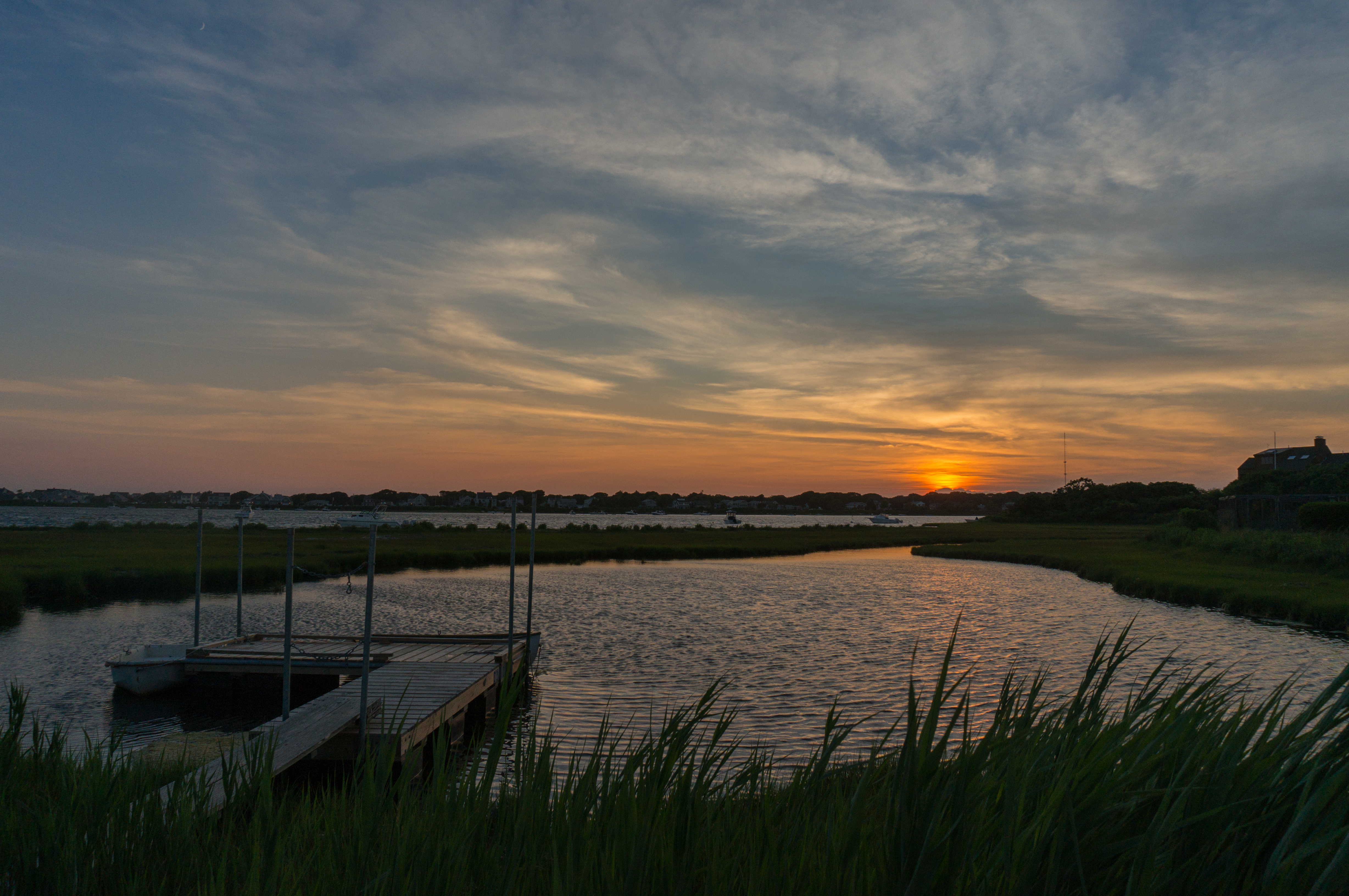
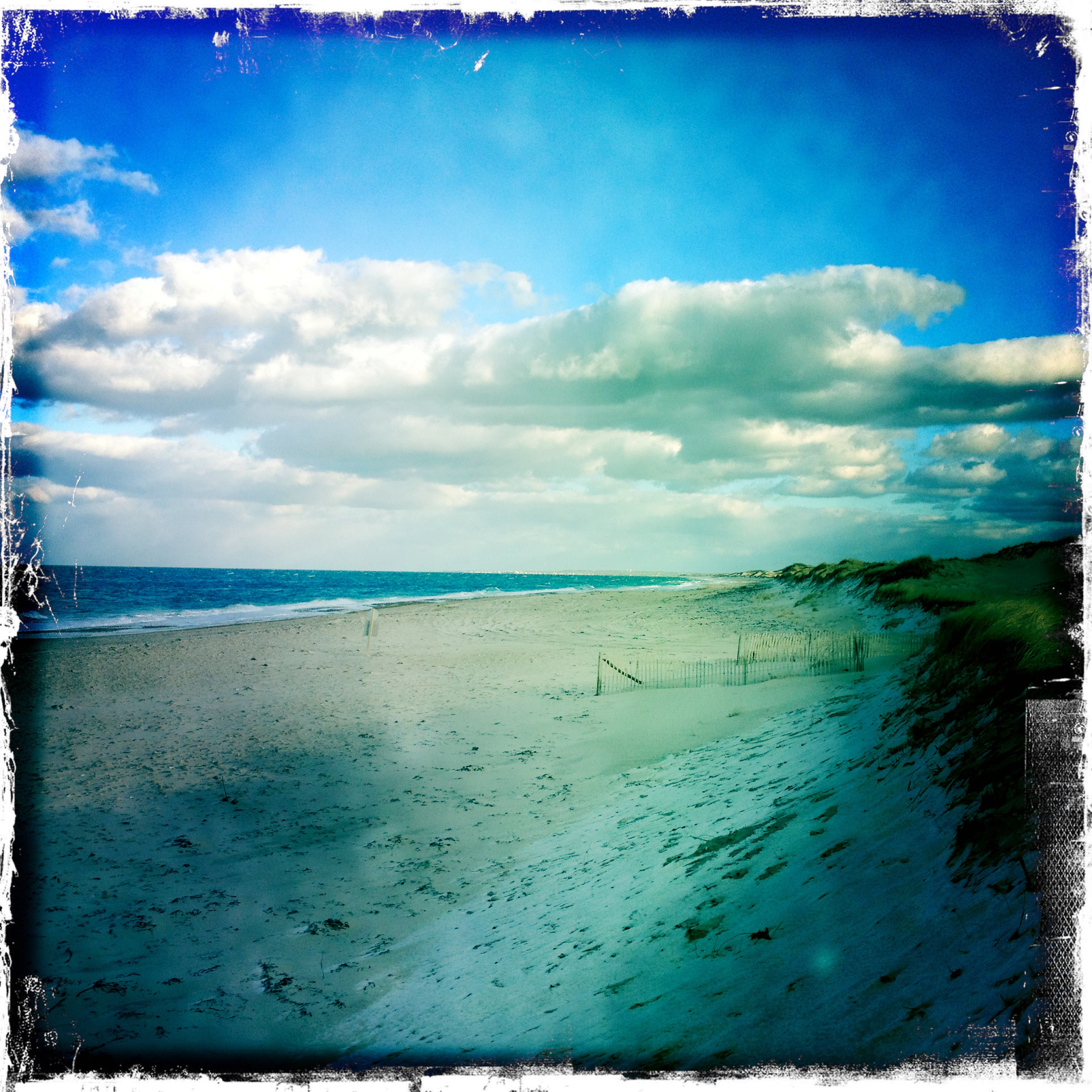
Related Photos:

Stormy Skies Over the Sandwich Boardwalk"
Fisheye View
Arrival in Falmouth on Cape Cod

A Little Champagne, and Life would be Perfect!
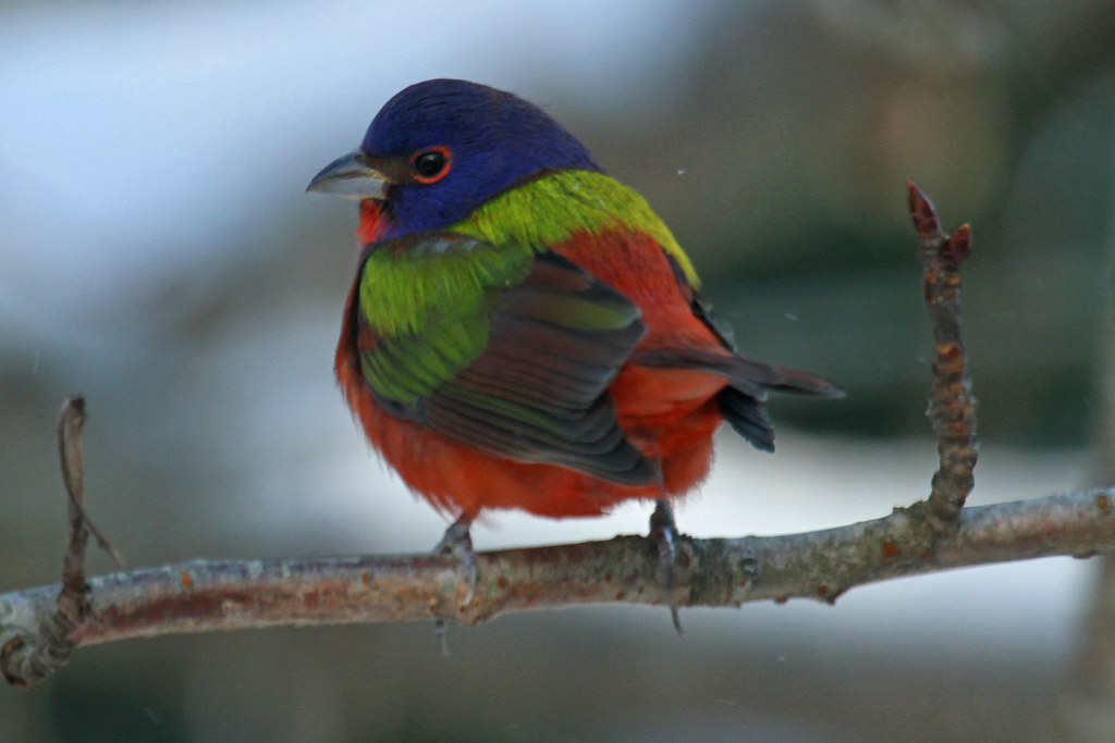
Painted Bunting

Picked Clean
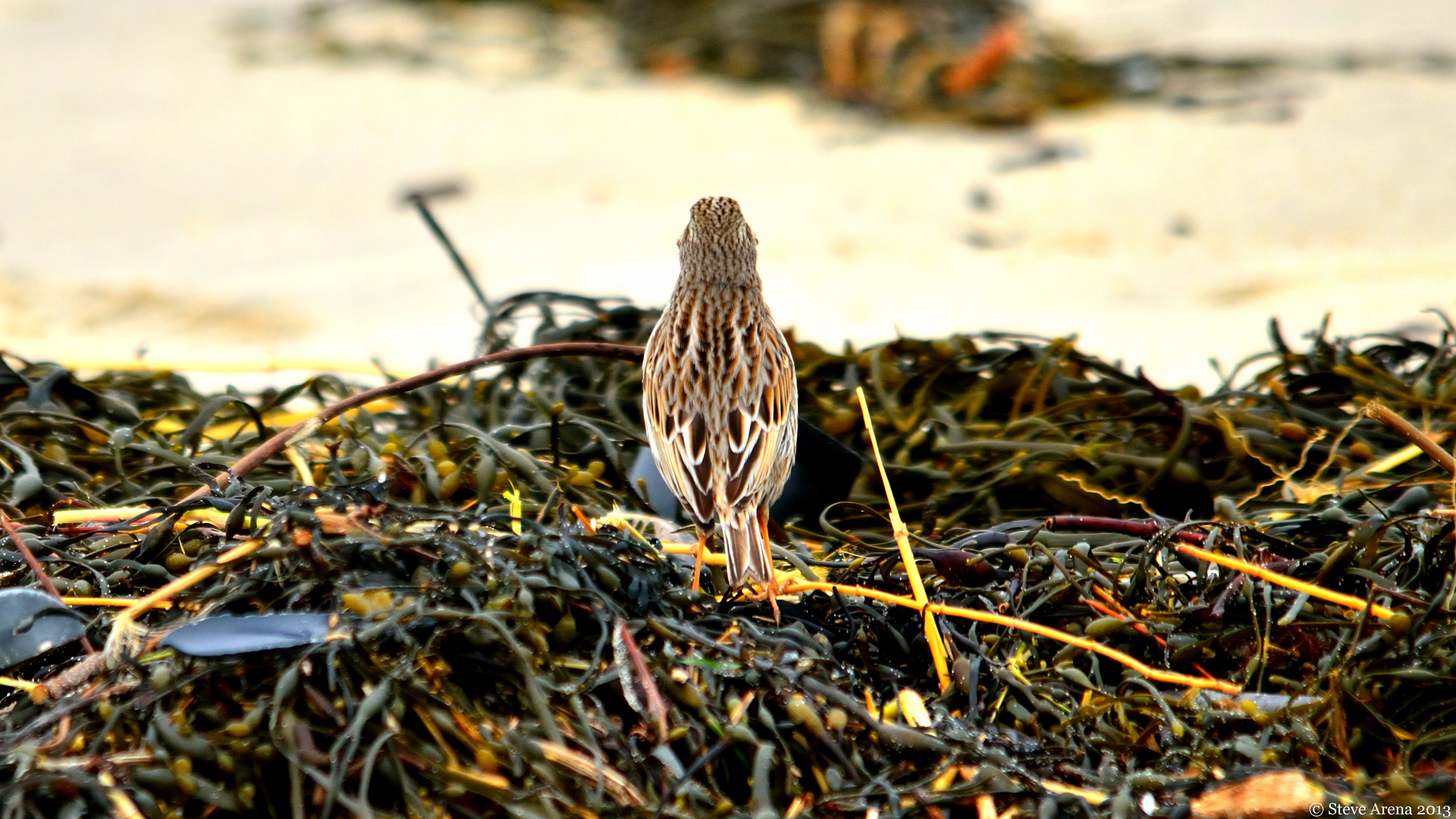
Savannah Sparrow (Passerculus sandwichensis princeps) - Ipswich form - dorsal view
Dinner With a View

Grasshopper Sparrow
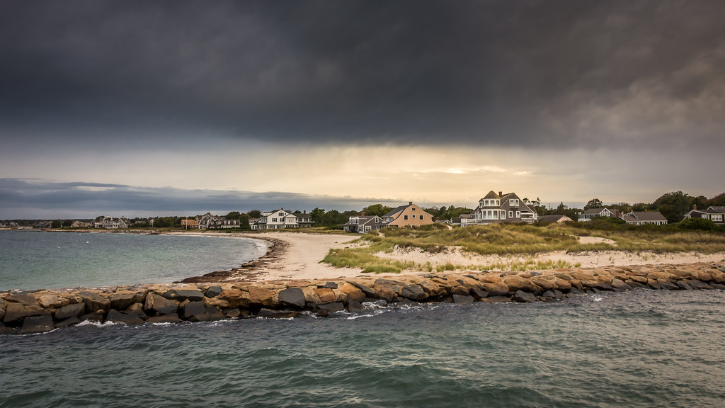
Red Brook Harbor, Cataumet
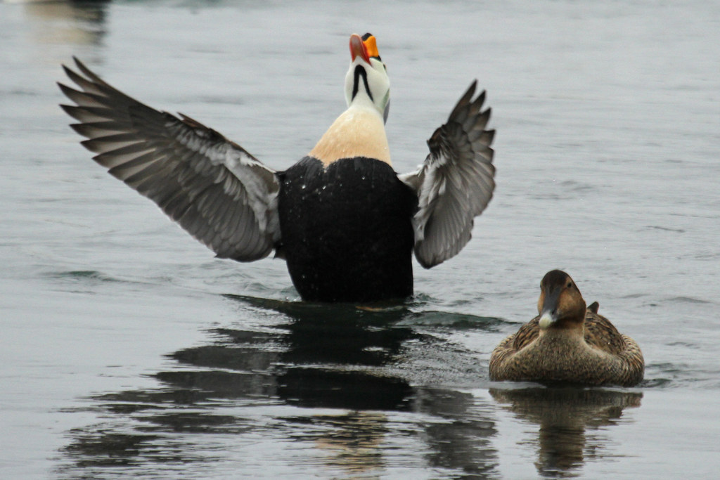
King Eider

Indonesian training ship KRI Dewaruci
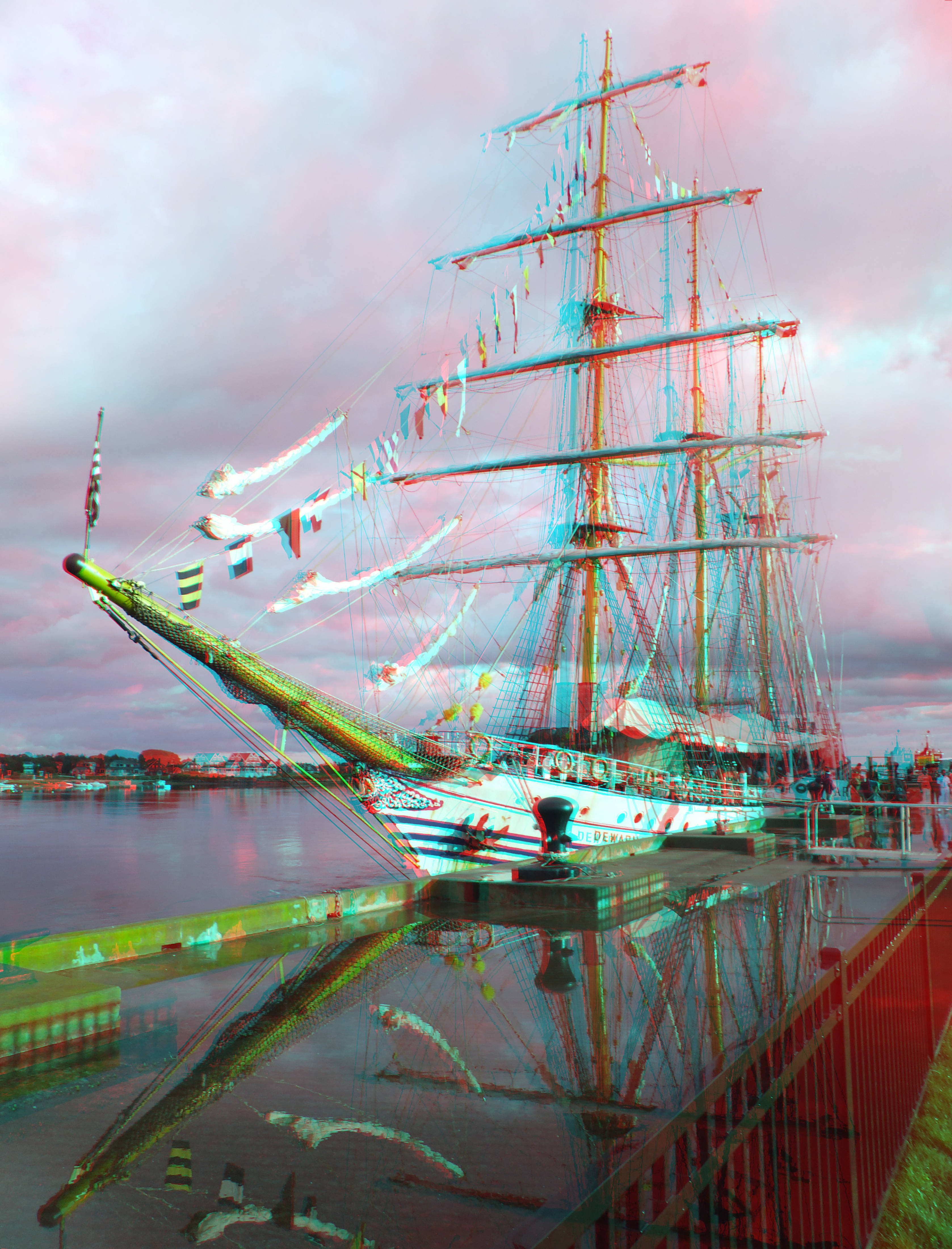
sunburst thru the clouds shines on the KRI Dewaruci
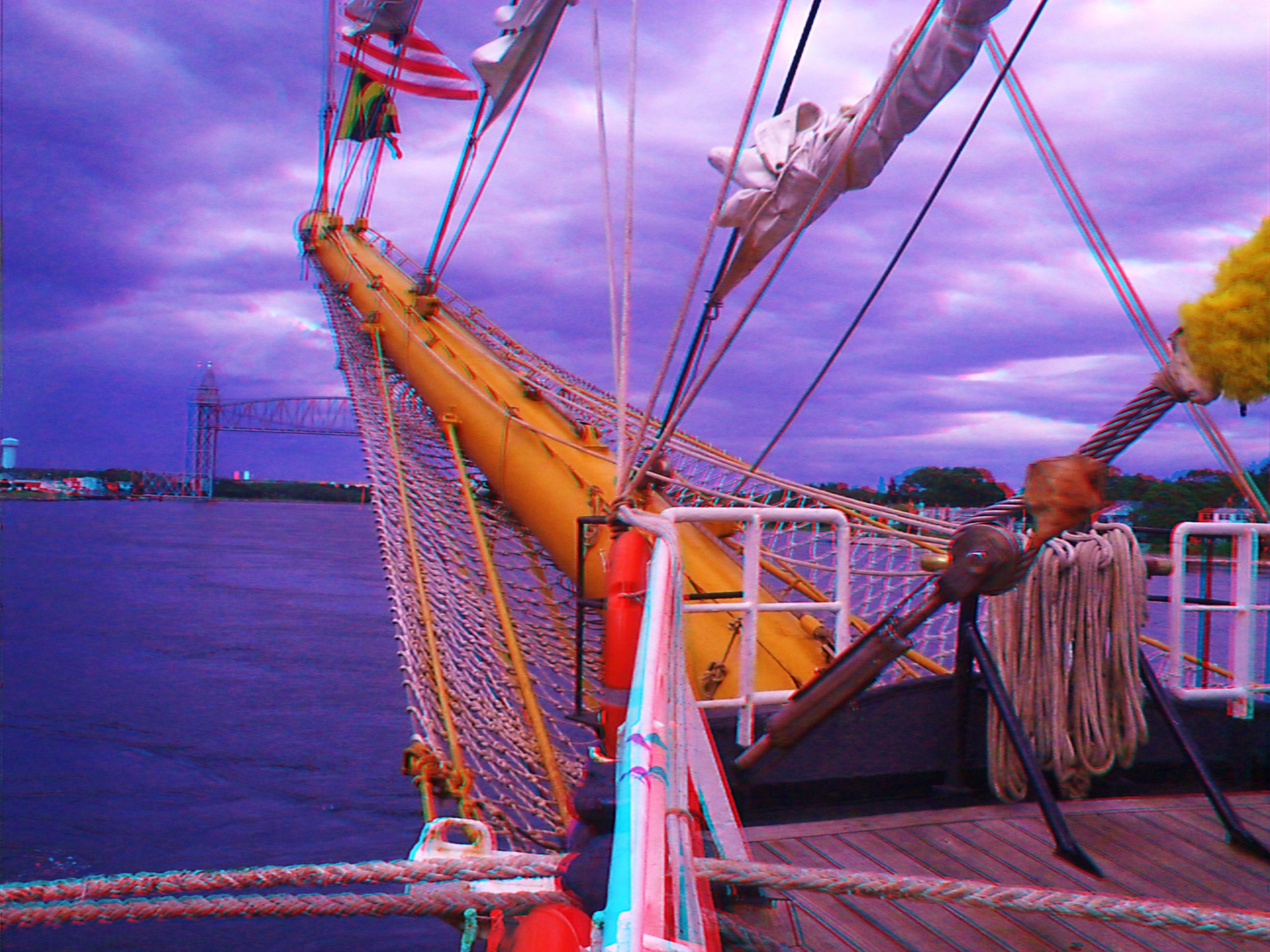
KRI Dewaruci's bow 2

Heading Out
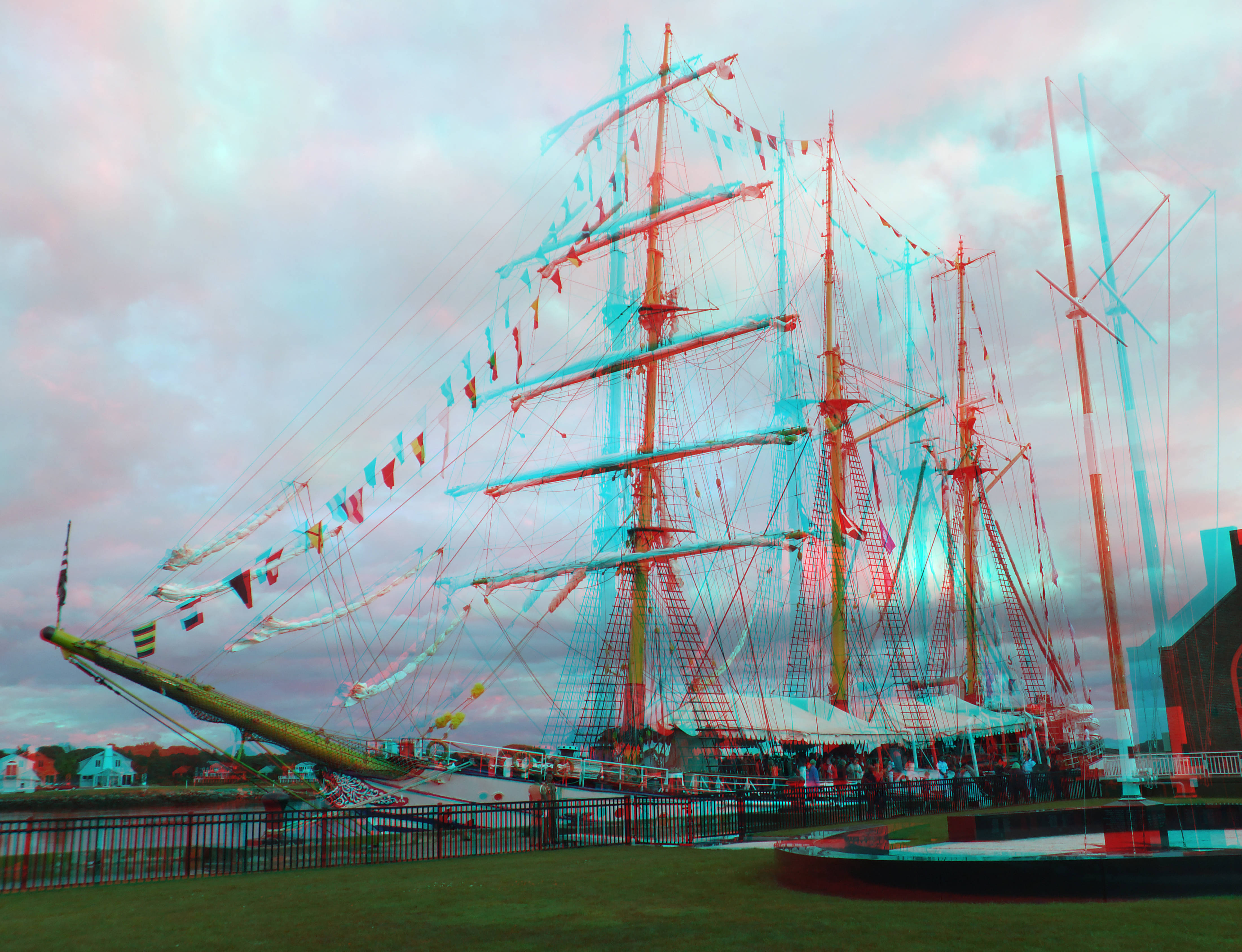
training ship KRI Dewaruci
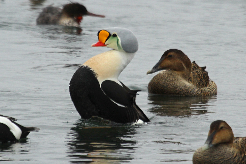
King Eider
in the harbor. . . .

Our view during #dinner last night. #Horizons restaurant at the end of the #CapeCod Canal in #Sandwich #massachusetts #instatraveling #instagram #instalike #capecodlife #bestofcapecod #travel
Grasshopper Sparrow

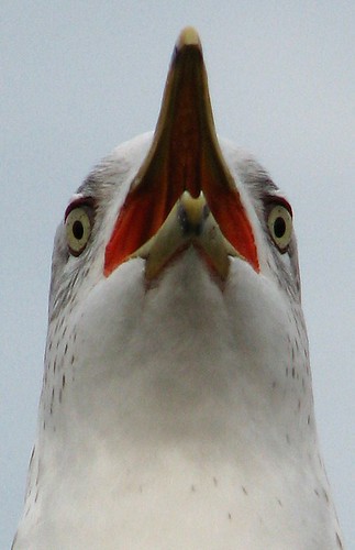
American Bittern - Mashpee, MA - November 18, 2013

Scusset Beach Sunset

Ice Cold Splash

Sunset from Scusset Beach Jetty

Cape Cod beach - painting
The Lonely Road

Stormy Sunset

Sunset at Scusset Beach

Scusset Beach Sunset

Scusset Beach Jetty
Barnstable Harbor

Sandwich Center at Sunset

Red Light
Cape Cod Winter

December Evening

Grasshopper Sparrow
cranberry bog harvest at sunset

monomoscoy sunset #17
.. and some are not subtle
Great Pond

2015-08-05 07.12.24 1
2013-01-02 14.59.21
Topographic Map of 36 Lovells Ln, Mashpee, MA, USA
Find elevation by address:

Places near 36 Lovells Ln, Mashpee, MA, USA:
Mashpee
100 Great Neck Rd N
5 Equestrian Ave
150 Noisy Hole Rd
25 Sheffield Pl
23 Sheffield Pl
12 Cypress Circle
390 Ashumet Rd
275 Cotuit Rd
33 Snead Dr
101 Main St
27 Ships Lantern Dr
10 Rolling Green Ln
25 Rainbow Ln
2 Brackett St
Johns Pond
71 Willowbend Dr
24 Wood Rd
Seaworthy Marine
14 Wags Rd
Recent Searches:
- Elevation of Pykes Down, Ivybridge PL21 0BY, UK
- Elevation of Jalan Senandin, Lutong, Miri, Sarawak, Malaysia
- Elevation of Bilohirs'k
- Elevation of 30 Oak Lawn Dr, Barkhamsted, CT, USA
- Elevation of Luther Road, Luther Rd, Auburn, CA, USA
- Elevation of Unnamed Road, Respublika Severnaya Osetiya — Alaniya, Russia
- Elevation of Verkhny Fiagdon, North Ossetia–Alania Republic, Russia
- Elevation of F. Viola Hiway, San Rafael, Bulacan, Philippines
- Elevation of Herbage Dr, Gulfport, MS, USA
- Elevation of Lilac Cir, Haldimand, ON N3W 2G9, Canada