Elevation of 35 Taylor Fork, Belfry, KY, USA
Location: United States > Kentucky > Pike County > Belfry >
Longitude: -82.307902
Latitude: 37.6710241
Elevation: 201m / 659feet
Barometric Pressure: 99KPa
Elevation Map:
Satellite Map:
Related Photos:

Hotel Hallway

Flex Your BeeCepts

A Mime's Staircase

view from The Railroad Dorm in Williamson WV

West Virginia scenery
Williamson WV Thursday October 27th 1988 1620EDT

South Side Mall of South Williamson, KY

Matewan WV: The Tug River Outside the Flood Wall

Pawpaw Tree Execution

Tug River Thru Williamson, WV

Welcome to West Virginia

Welcome to West Virginia

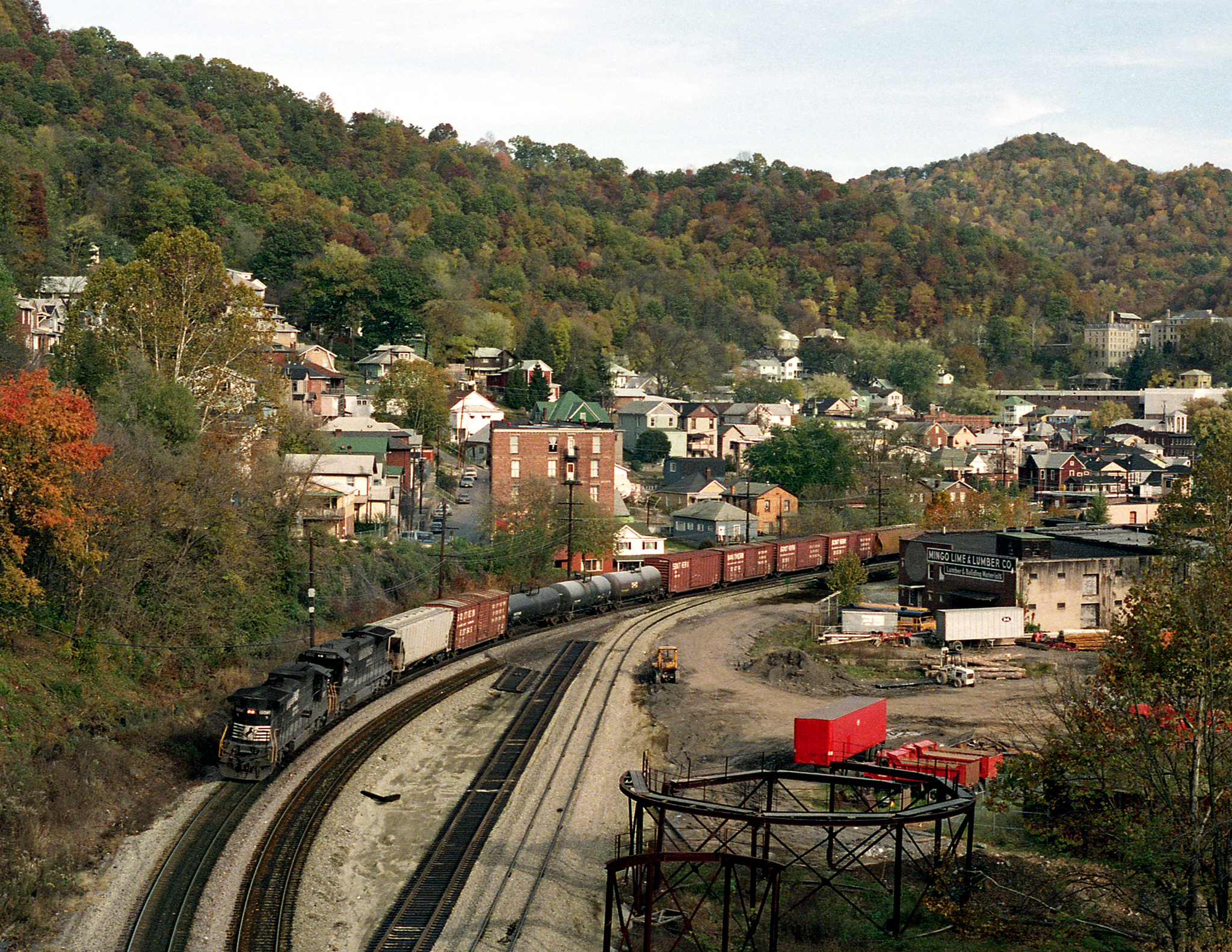
Norfolk Southern Mainline

Matewan Floodwall

Matewan Floodwall

Matewan Floodwall

Matewan, WV

West Virginia scenery

West Virginia scenery

US 119 Construction near Pikeville
Topographic Map of 35 Taylor Fork, Belfry, KY, USA
Find elevation by address:

Places near 35 Taylor Fork, Belfry, KY, USA:
Turkey Creek
Williamson
16 W 4th Ave, Williamson, WV, USA
440 Hurricane Branch Rd
US-, Belfry, KY, USA
Winifrede St, Borderland, WV, USA
21 Deskins Dr, Williamson, WV, USA
Belfry
Canada
Tug Hardee
1173 State Hwy 199
Stone
2665 Meathouse Fork
Buffalo Mountain Trailhead, Hatfield-mccoy Trails
Williamson
Delbarton
13 Ajax Branch, Williamson, WV, USA
872 Wv-65
872 Wv-65
WV-49, Delbarton, WV, USA
Recent Searches:
- Elevation of Ilungu, Tanzania
- Elevation of Yellow Springs Road, Yellow Springs Rd, Chester Springs, PA, USA
- Elevation of Rēzekne Municipality, Latvia
- Elevation of Plikpūrmaļi, Vērēmi Parish, Rēzekne Municipality, LV-, Latvia
- Elevation of 2 Henschke Ct, Caboolture QLD, Australia
- Elevation of Redondo Ave, Long Beach, CA, USA
- Elevation of Sadovaya Ulitsa, 20, Rezh, Sverdlovskaya oblast', Russia
- Elevation of Ulitsa Kalinina, 79, Rezh, Sverdlovskaya oblast', Russia
- Elevation of 72-31 Metropolitan Ave, Middle Village, NY, USA
- Elevation of 76 Metropolitan Ave, Brooklyn, NY, USA