Elevation of 35 MA-, Forestdale, MA, USA
Location: United States > Massachusetts > Barnstable County > Sandwich > Sandwich > Forestdale >
Longitude: -70.510769
Latitude: 41.6803045
Elevation: 43m / 141feet
Barometric Pressure: 101KPa
Elevation Map:
Satellite Map:
Related Photos:

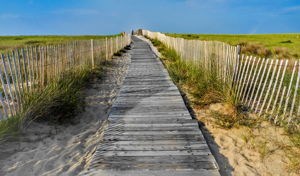
Stormy Skies Over the Sandwich Boardwalk"

A Little Champagne, and Life would be Perfect!
Dinner With a View

Monument Beach Re-edit
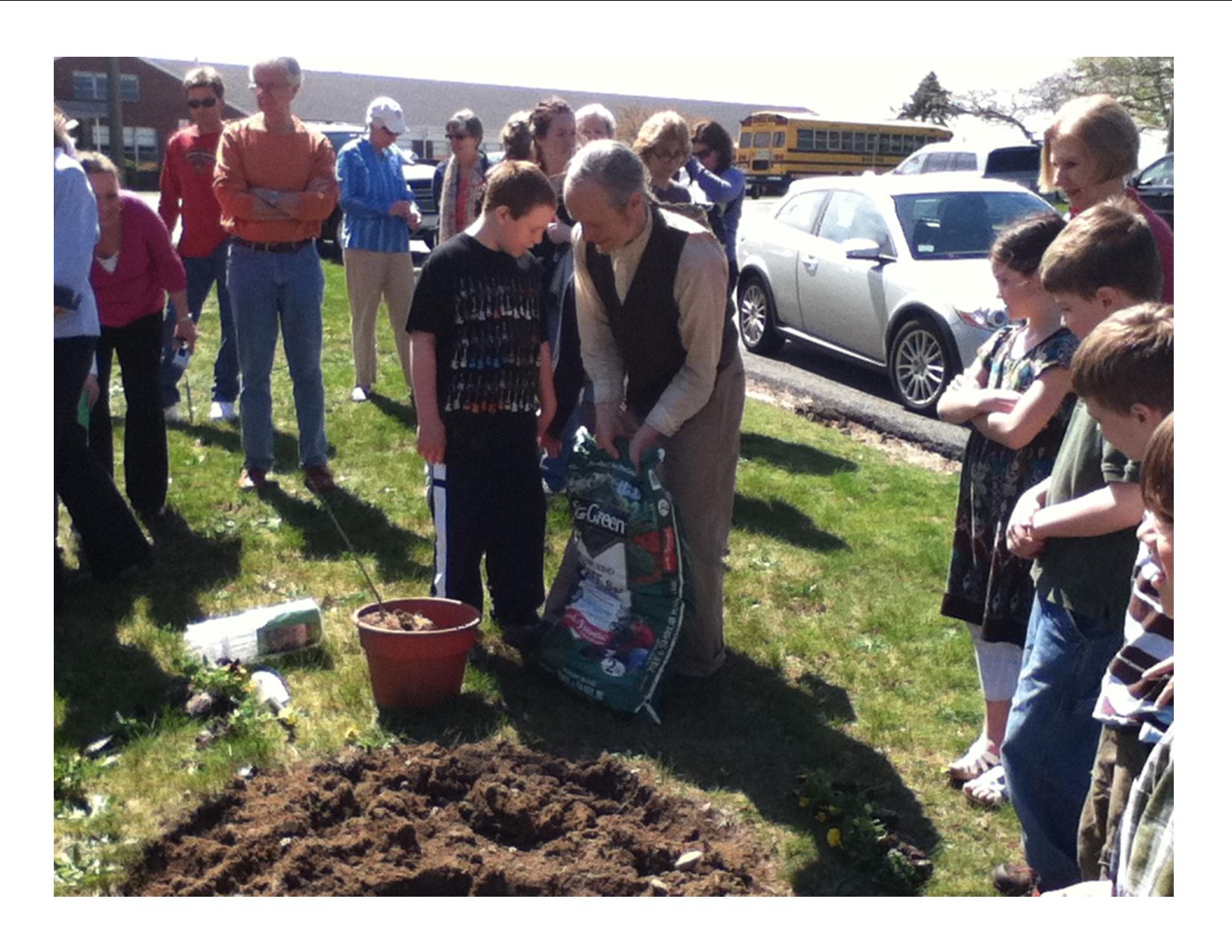
After Peebles Elementary School Arbor Day Assembly, school children, GC members, parents , community leaders viewed Aptucxet junior gardeners plant 3 Catalpa saplings, assisted by historian John York
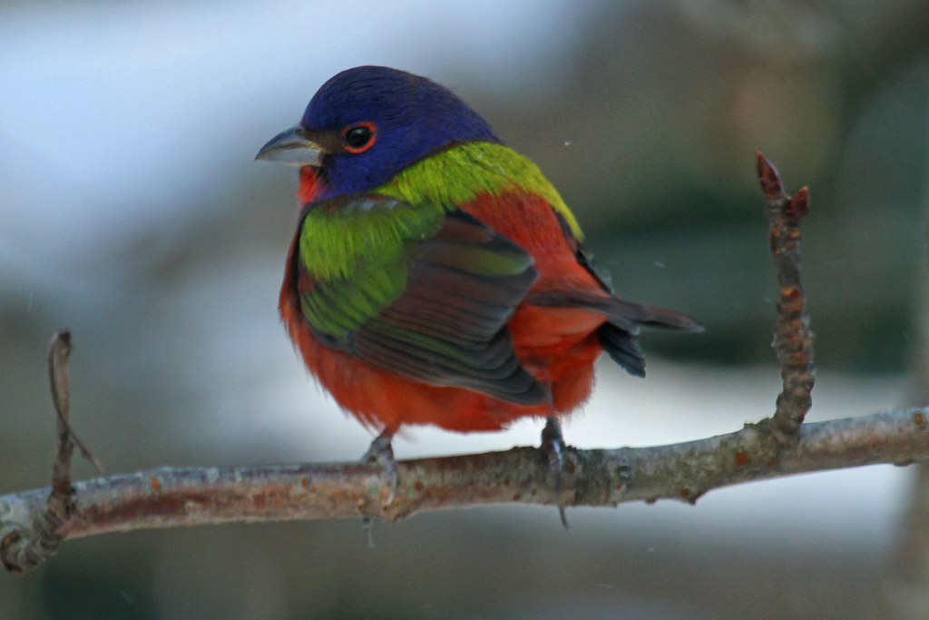
Painted Bunting
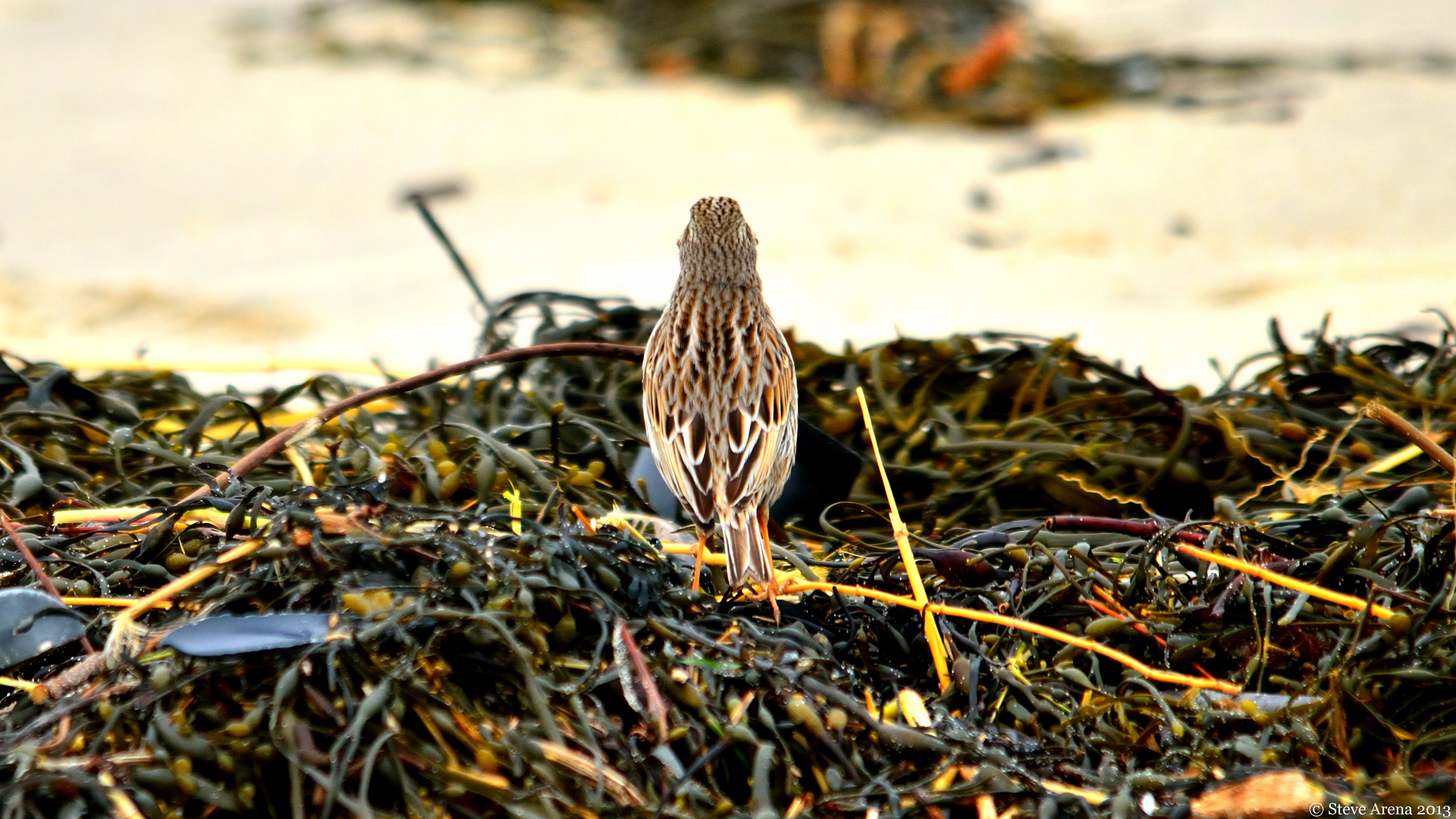
Savannah Sparrow (Passerculus sandwichensis princeps) - Ipswich form - dorsal view
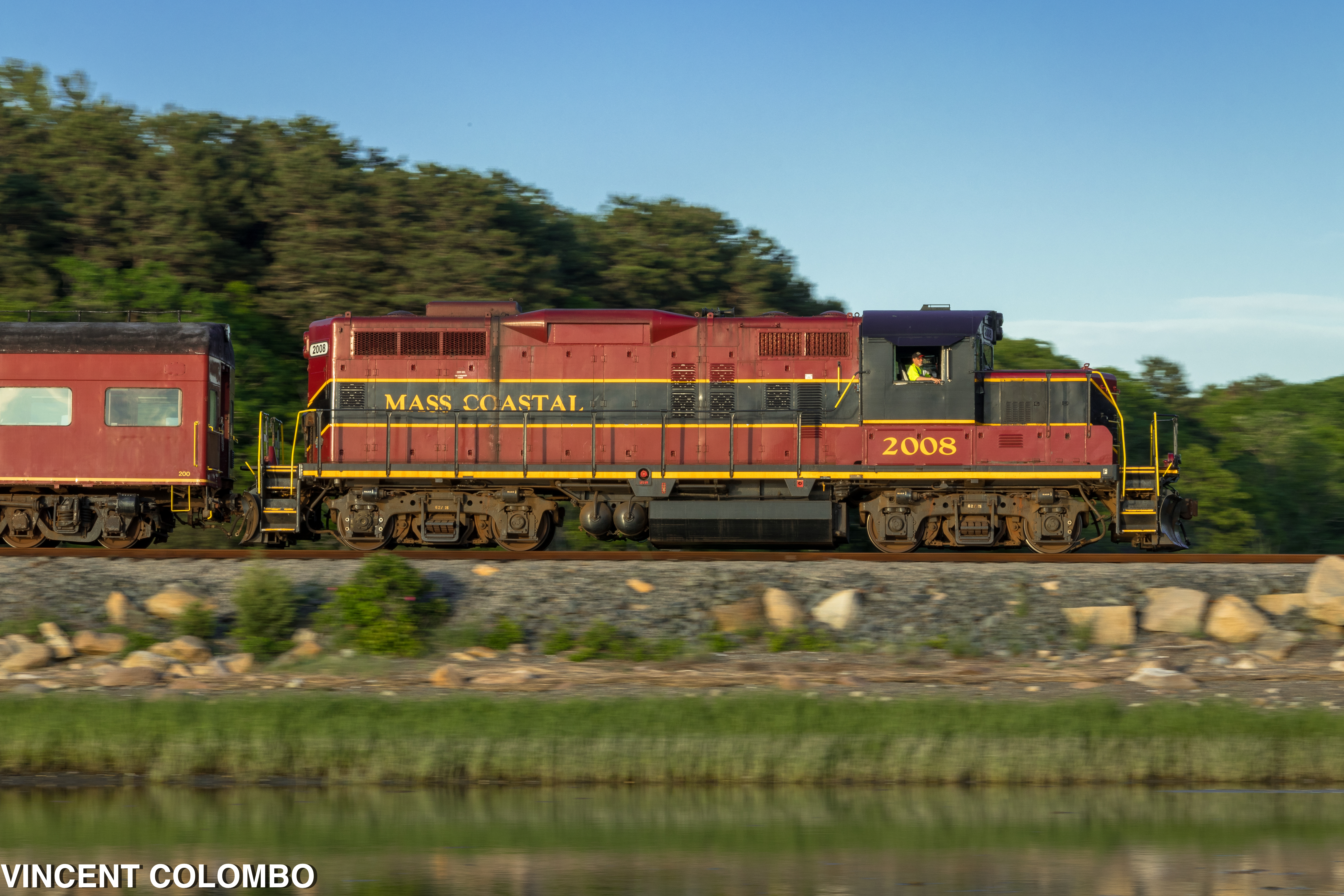
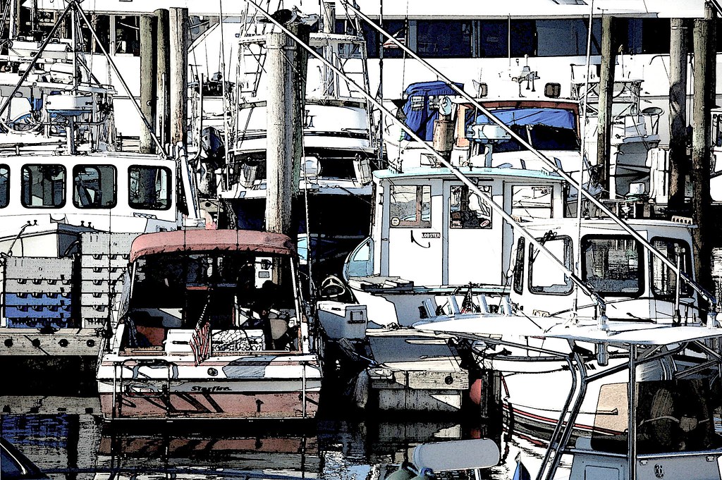
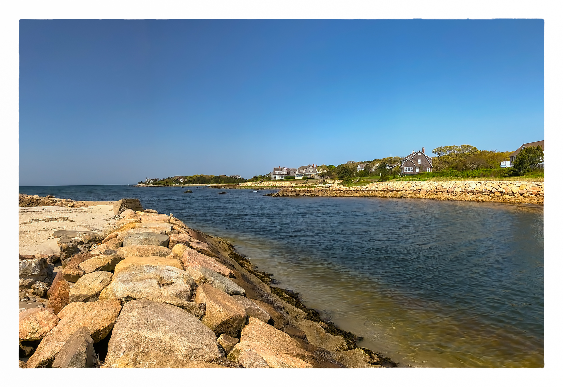
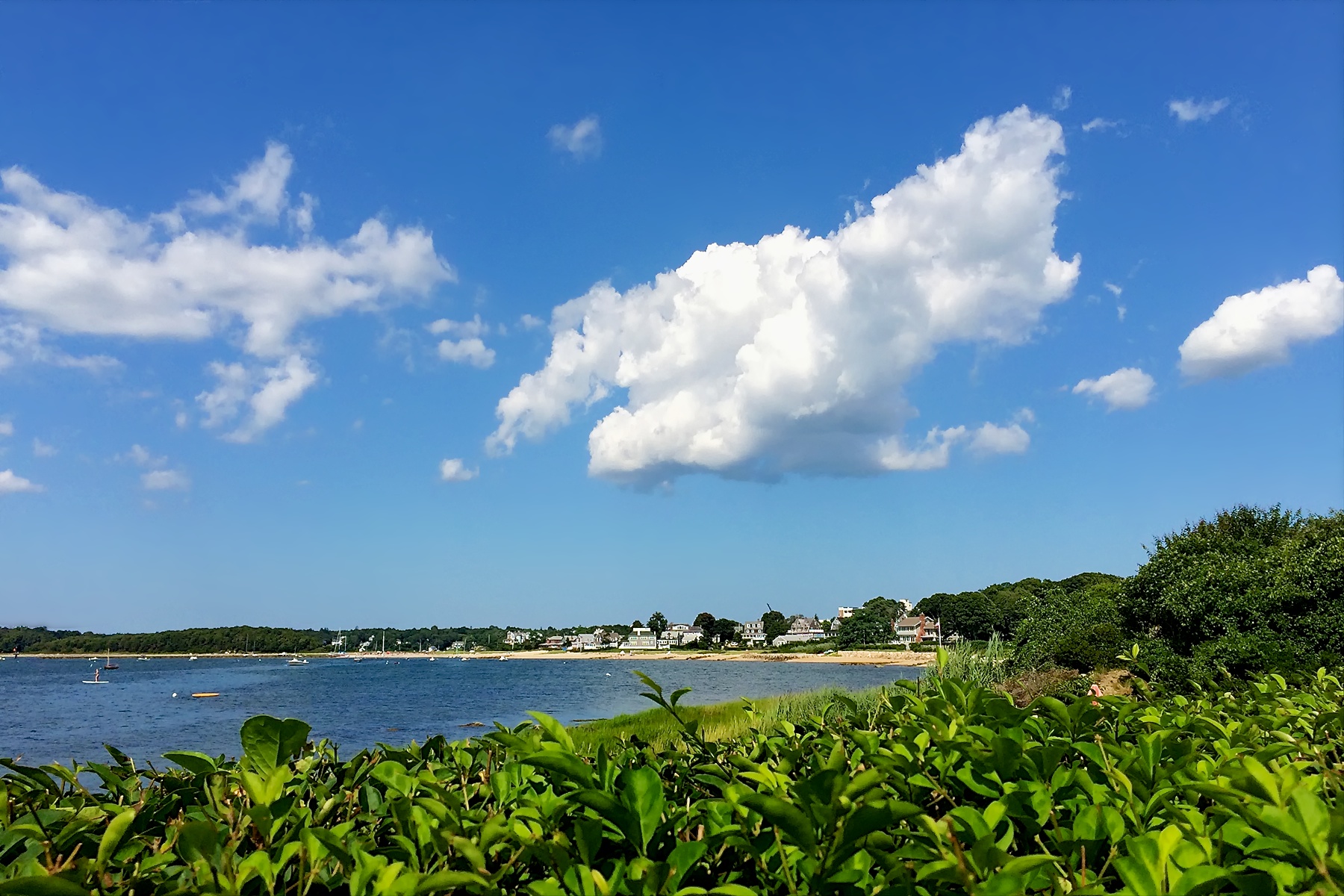
Red Brook Harbor, Cataumet
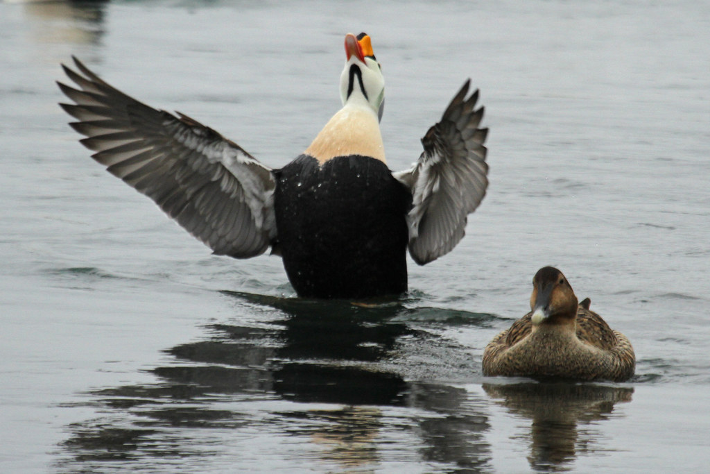
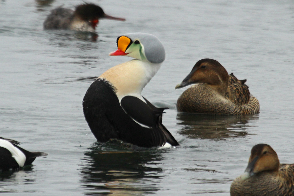
King Eider

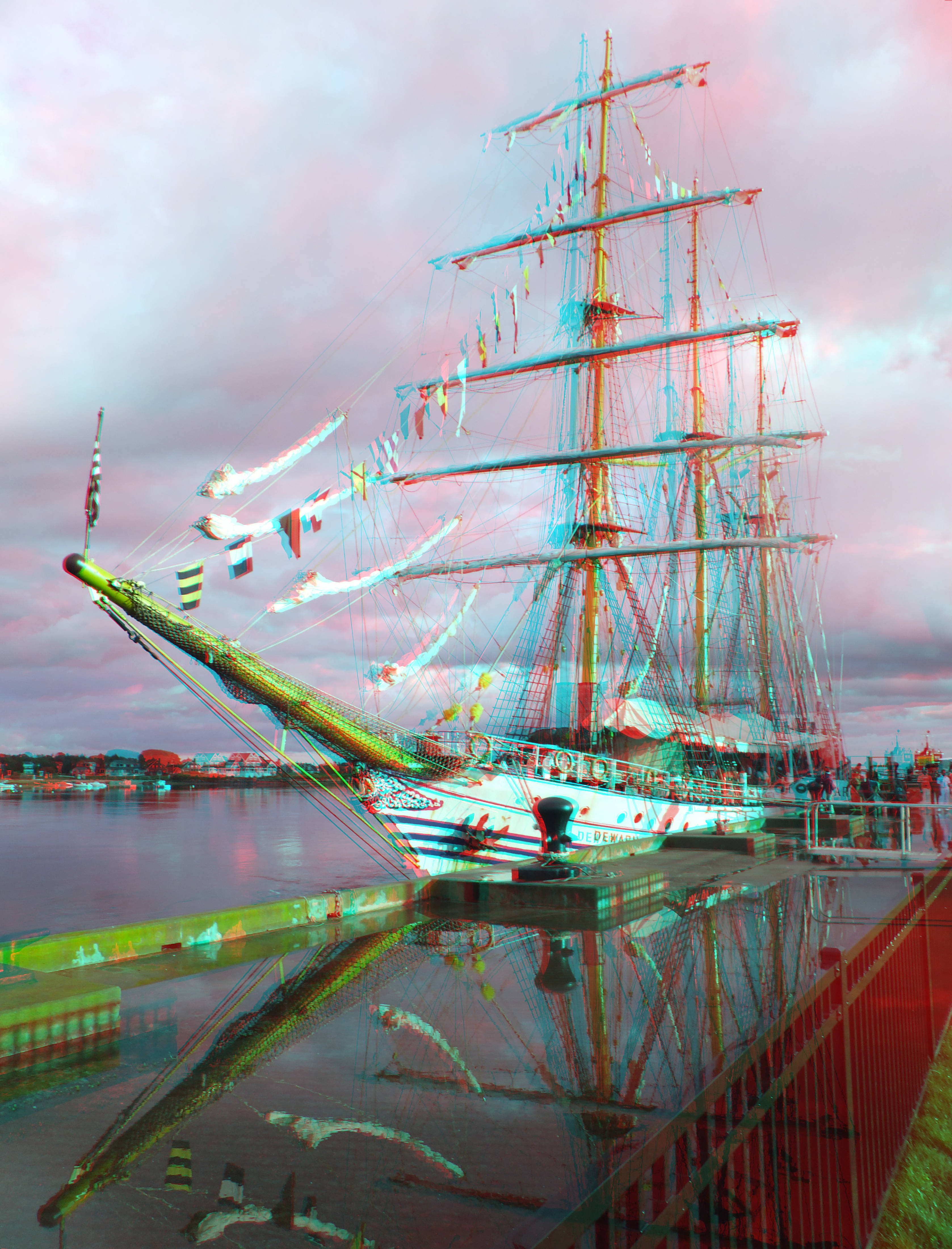
Indonesian training ship KRI Dewaruci
sunburst thru the clouds shines on the KRI Dewaruci
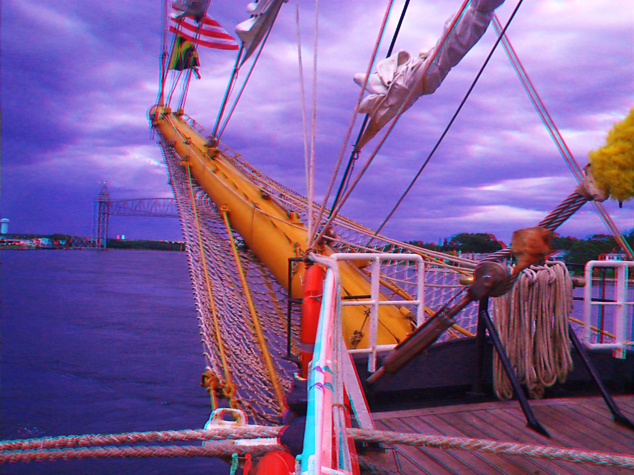
KRI Dewaruci's bow 2
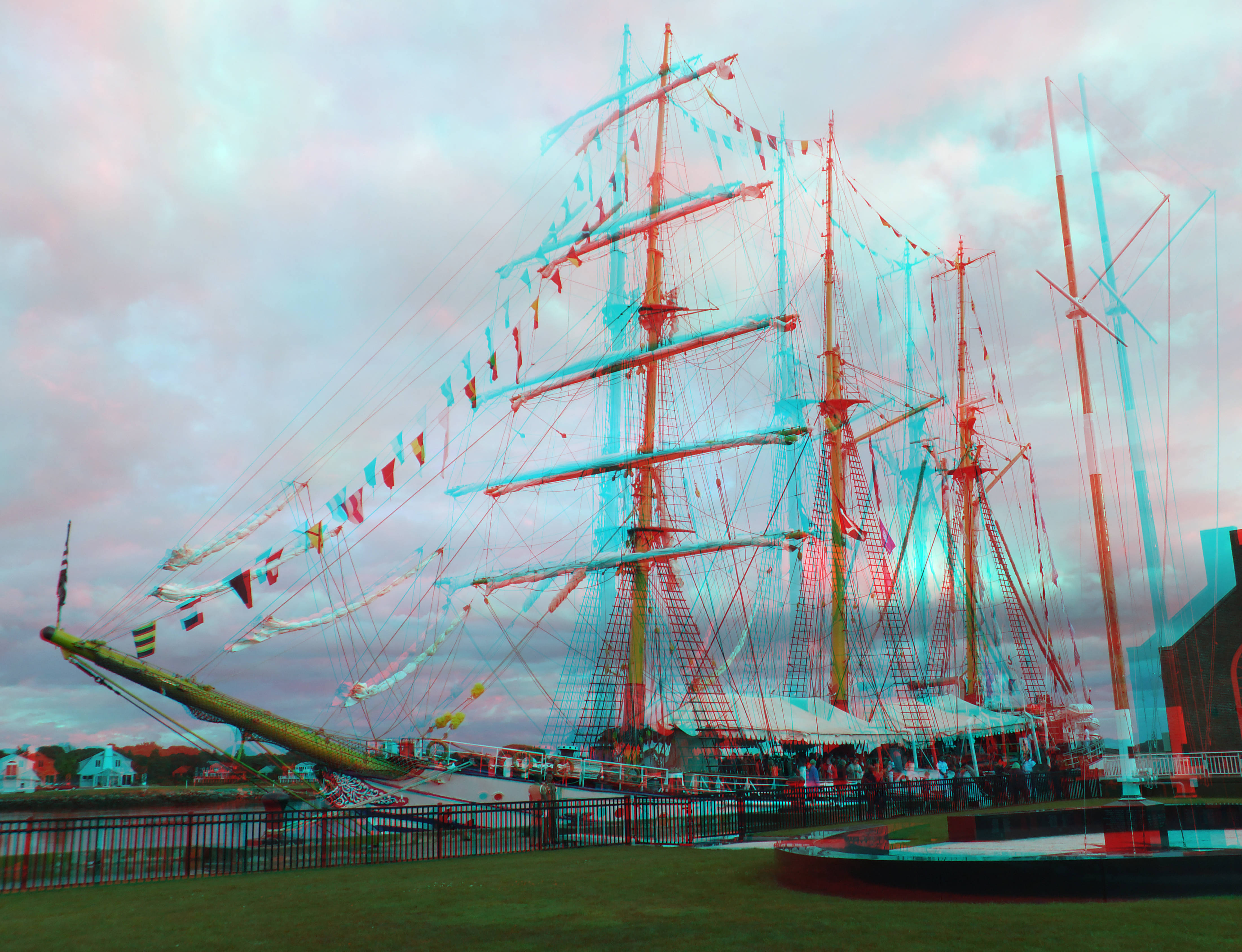
training ship KRI Dewaruci
King Eider
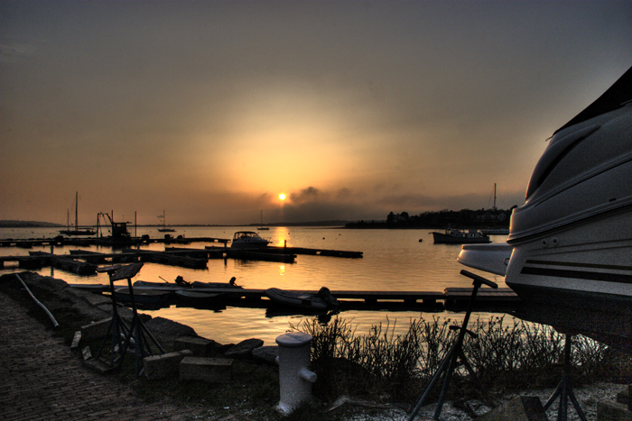
in the harbor. . . .

Our view during #dinner last night. #Horizons restaurant at the end of the #CapeCod Canal in #Sandwich #massachusetts #instatraveling #instagram #instalike #capecodlife #bestofcapecod #travel

American Bittern - Mashpee, MA - November 18, 2013

Cotuit Town Dock
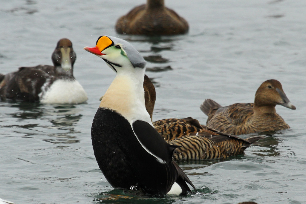
King Eider

View from Bourne Scenic Highway
Front Row Seating
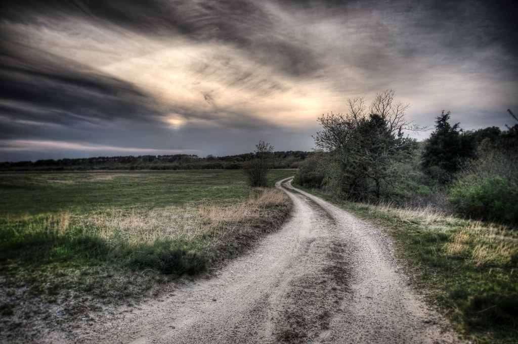
The Lonely Road

Sandwich Center at Sunset

2013-01-03 14.48.20

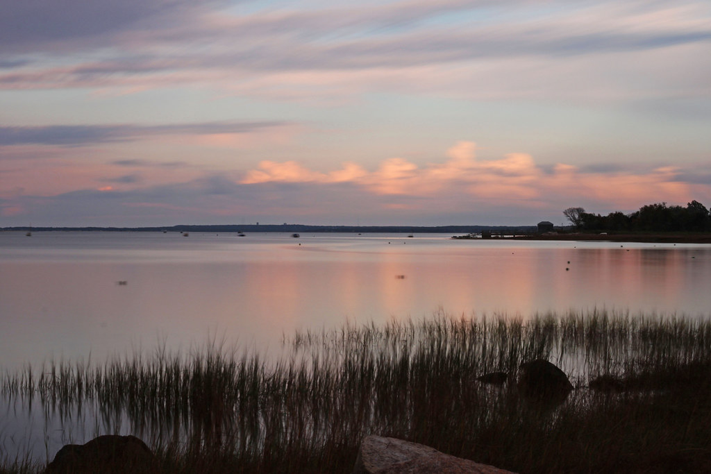
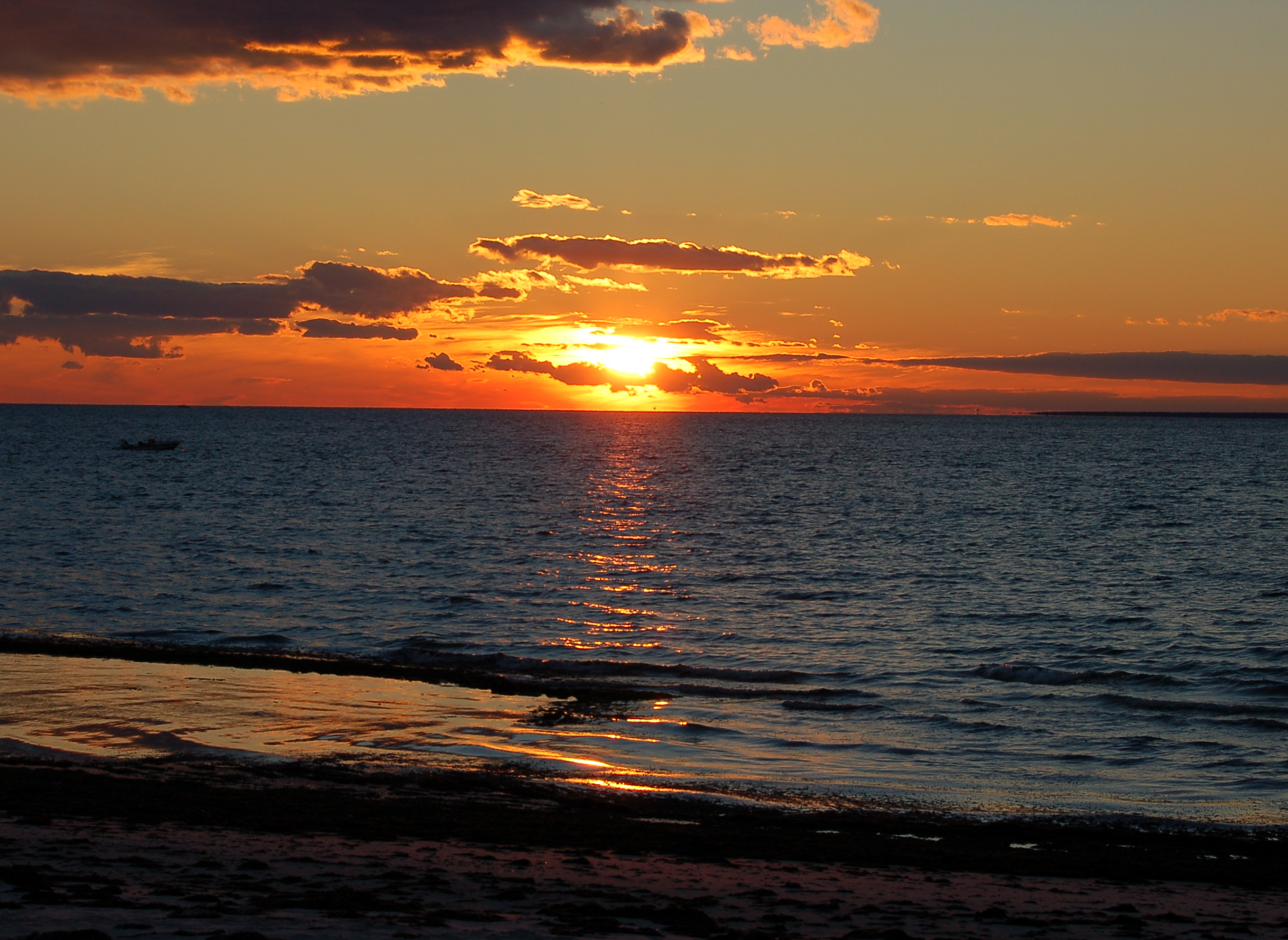
Scusset Beach Sunset

Sunset from Scusset Beach Jetty
Wild Harbor
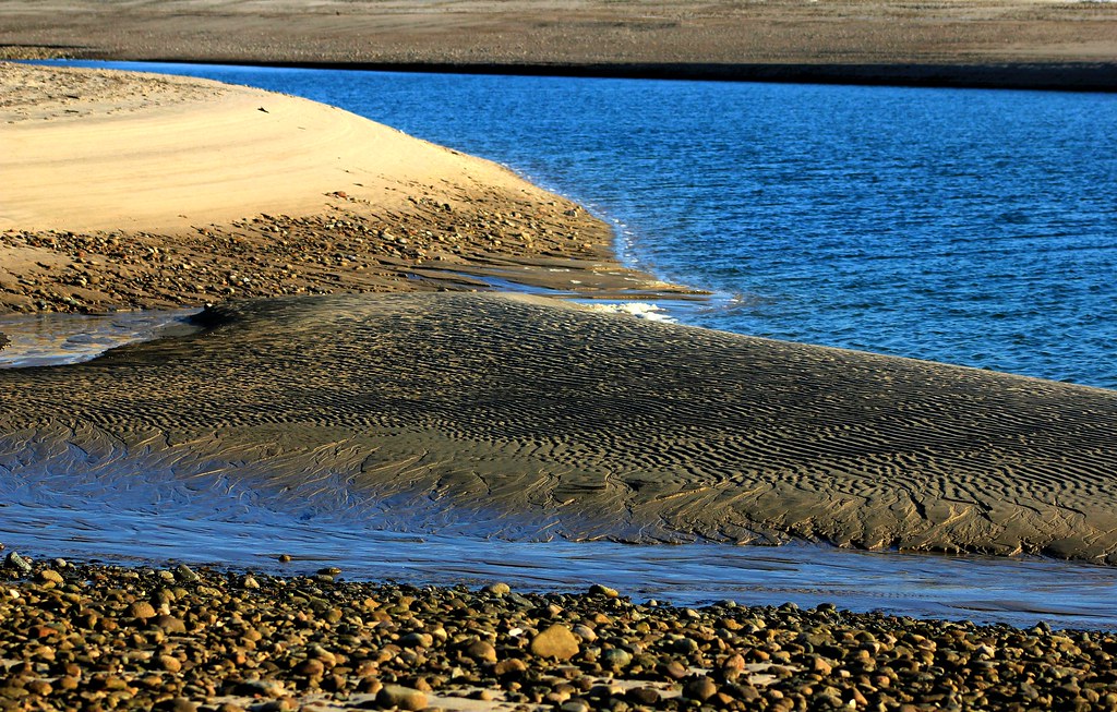
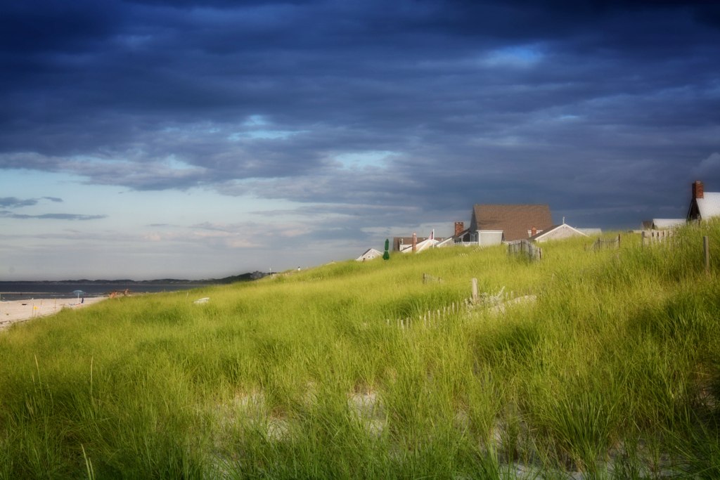
Sandbar Town Neck Beach Cape Cod MA

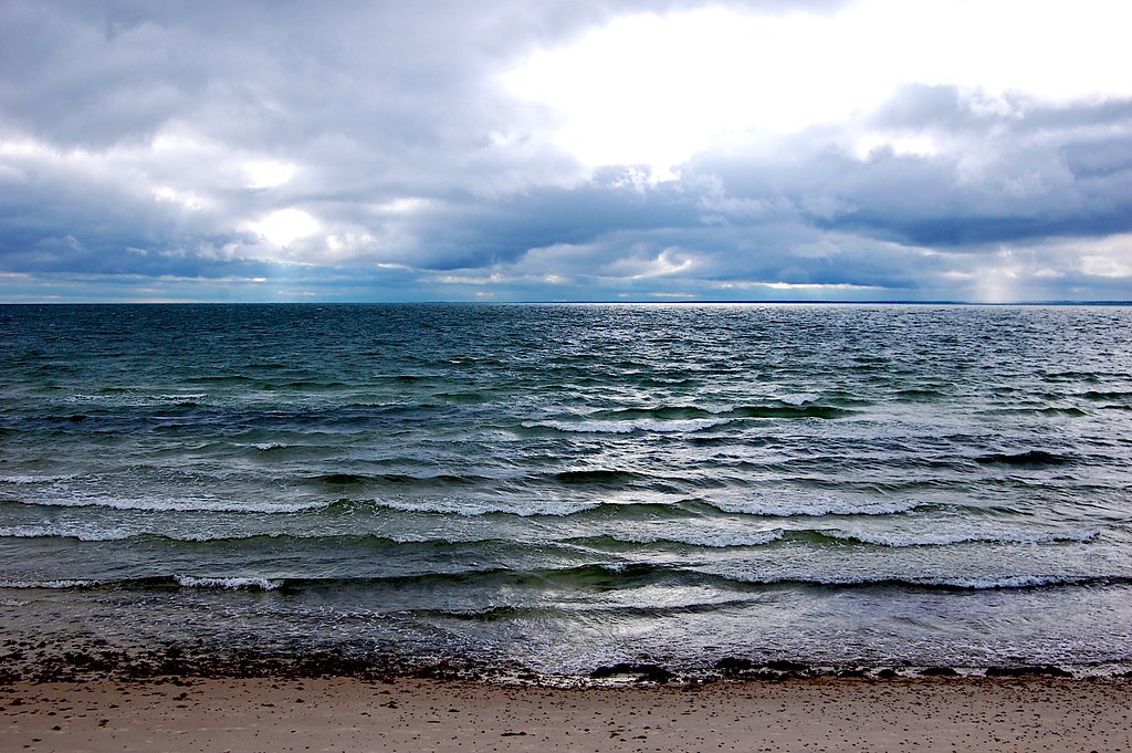
Stormy Sunset
i can see for miles. . . . .
Fiddler's Cove

Sunset at Scusset Beach

87 Seapuit Rd, Aerials (4)

Storm over the Water
Walk to the Beach

Scusset Beach Sunset
Barnstable Harbor
Old Silver Beach :: 4:26 p.m.
2010-07-22 18.27.17

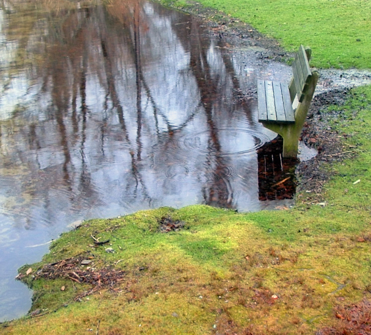
Vernal Reflections

Red Light
Little Oakey Island off Chases Point
Topographic Map of 35 MA-, Forestdale, MA, USA
Find elevation by address:

Places near 35 MA-, Forestdale, MA, USA:
4 Vineyard Cir
4 Deep Wood Dr
49 Artisan Way
3 Windsong Rd
28 Pickerel Way
10 Emerald Way
Forestdale
5 Preakness Ln
20 Jody Ln
22 Jody Ln
129 Pimlico Pond Rd
Deerfield Road
Barnstable Town
71 Quaker Meeting House Rd
238 Cotuit Rd
Compass Athletics
7 Bourne Hay Rd
163 Quaker Meeting House Rd
8 Oxford Rd
8 Oxford Rd
Recent Searches:
- Elevation of Pu Ngaol Community Meeting Hall, HWHM+3X7, Krong Saen Monourom, Cambodia
- Elevation of Royal Ontario Museum, Queens Park, Toronto, ON M5S 2C6, Canada
- Elevation of Groblershoop, South Africa
- Elevation of Power Generation Enterprises | Industrial Diesel Generators, Oak Ave, Canyon Country, CA, USA
- Elevation of Chesaw Rd, Oroville, WA, USA
- Elevation of N, Mt Pleasant, UT, USA
- Elevation of 6 Rue Jules Ferry, Beausoleil, France
- Elevation of Sattva Horizon, 4JC6+G9P, Vinayak Nagar, Kattigenahalli, Bengaluru, Karnataka, India
- Elevation of Great Brook Sports, Gold Star Hwy, Groton, CT, USA
- Elevation of 10 Mountain Laurels Dr, Nashua, NH, USA