Elevation of 35 King Point Cir, Owego, NY, USA
Location: United States > New York > Tioga County > Owego > Owego >
Longitude: -76.240200
Latitude: 42.115658
Elevation: 390m / 1280feet
Barometric Pressure: 97KPa
Elevation Map:
Satellite Map:
Related Photos:

Super Blood Wolf Moon Rising

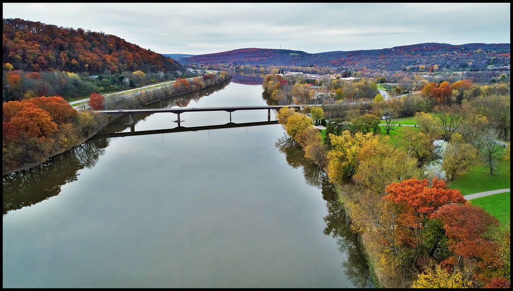
DJI_0147-View from the drone...across the river

DJI_0407_View from the drone...Down river under blue skies and white clouds
DJI_0126_View from the drone....down river

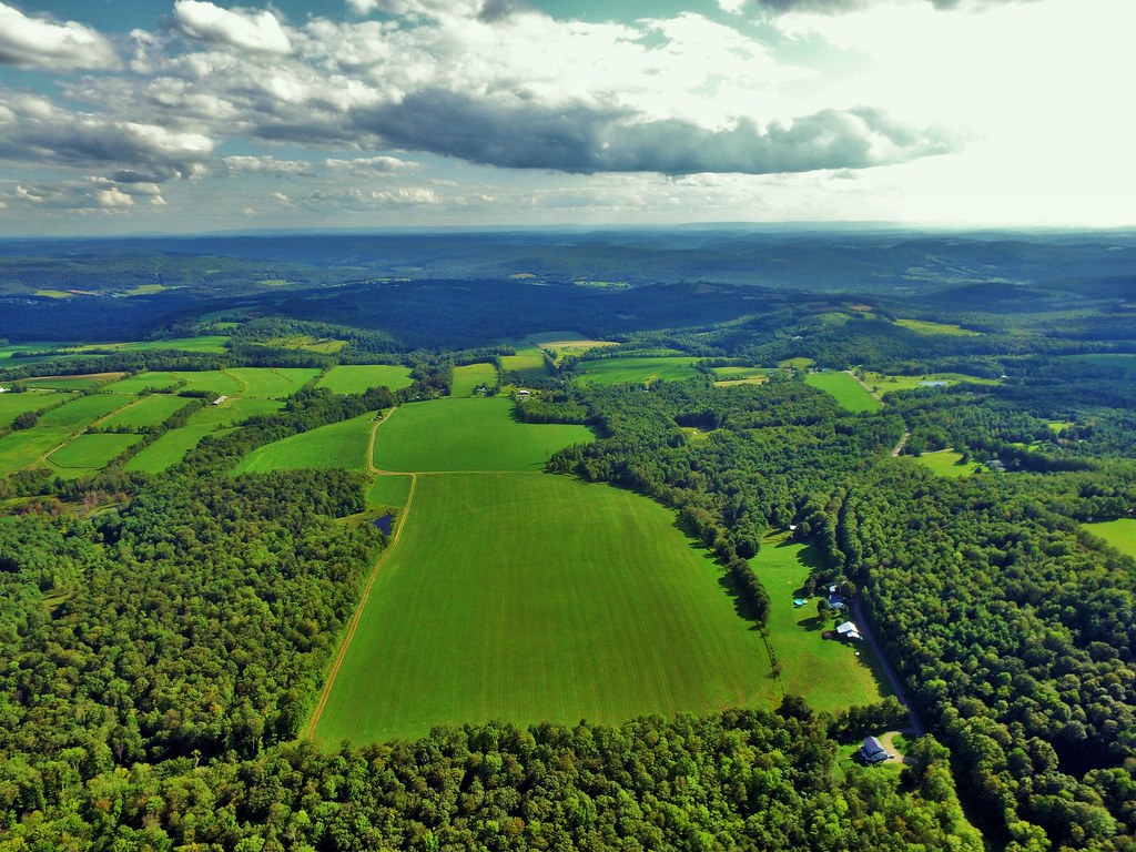
DJI_0005_view from a drone..as Fall settles in. Practicing with a new drone.

View from the drone...Like an eye toward the sky.

View from the drone......Island in the stream.

DJI_0518_View from the drone. Sky above the earth below 2.

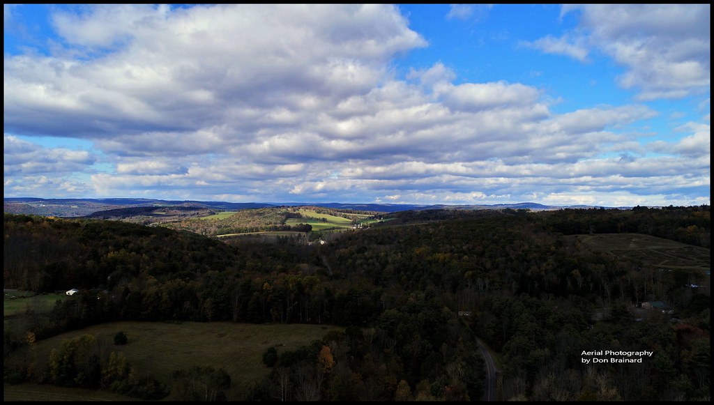
DJI_0037view from the drone.....out in the countryside in late October.

Social Isolation 180, Susquehanna River, Late Summer
DJI_0010-View from the drone...over where the sun shines through.

DJI_0142-View from the drone. a working farm

DJI_0203_View from the drone...A working farm

View from the drone...chasing the sunlight with a cotton candy monster!

DJI_0526_Follow the Sun. Sky above earth below. View from a drone.

DJI_0163_View from the drone....a drone in a tree

DJI_0027_View from the drone.....Spectacular

Susquehanna Valley

Mist In The Valley

Owego, NY

View From Roundtop Park

NS 7291
View from a drone...

Cardinal On A Phone Pole

Hole in the ceiling

Mist In The Valley

View of flood from Roundtop park Endicott 2011

Owego Earth Day Pano
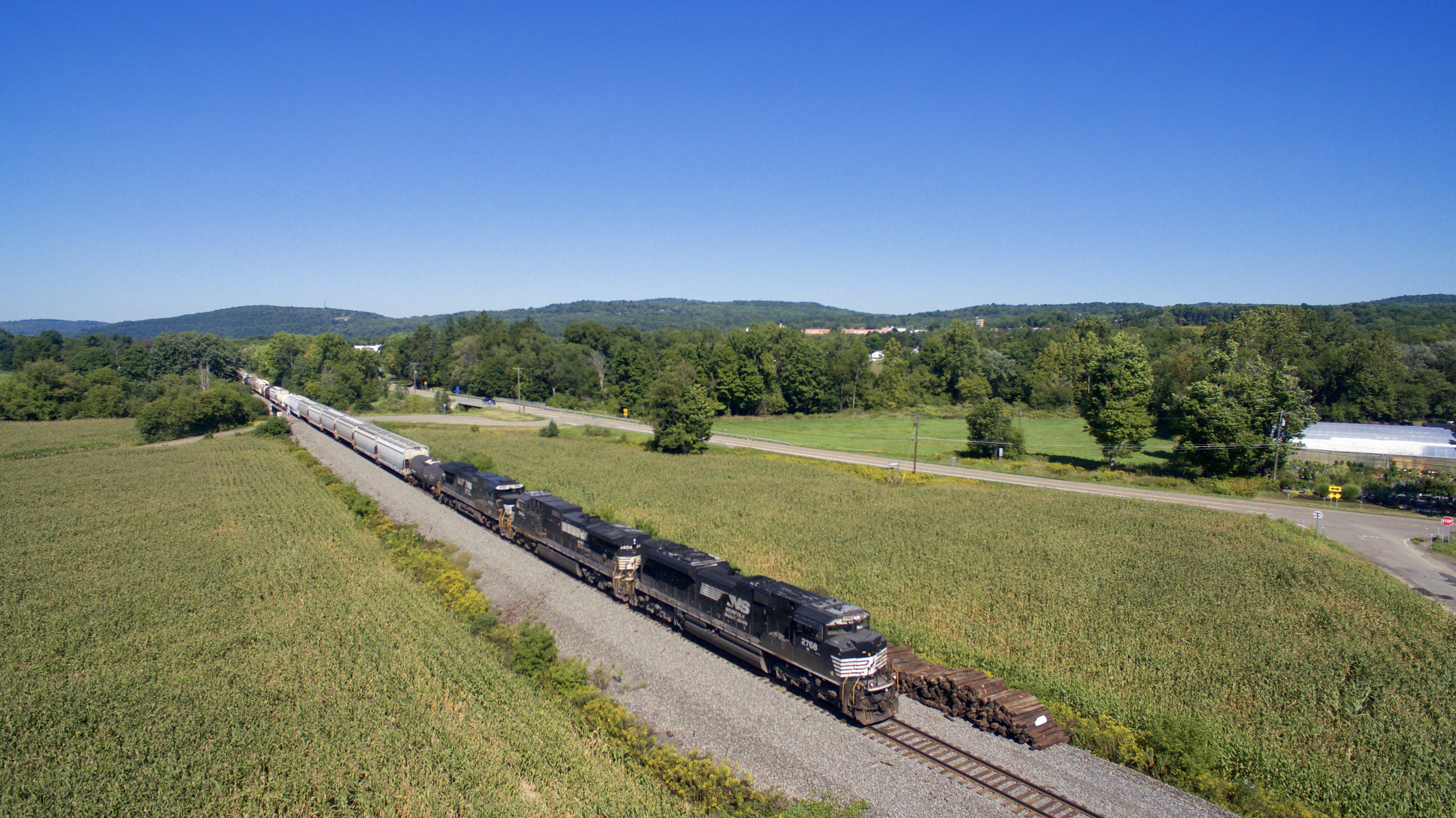
NS 2768
Topographic Map of 35 King Point Cir, Owego, NY, USA
Find elevation by address:

Places near 35 King Point Cir, Owego, NY, USA:
Lisle Road
535 E Front St
1564 E Beecher Hill Rd
2 Winey Wood
9 Orchard Ave
30 Church St
186 Front St
Evergreen Cemetery
Owego
50 Main St
2642 Lisle Rd
618 Mc Henry Rd
Owego
374 Marshland Rd
37 Pine Tree Dr
304 Woodhaven Dr
26 Gary Dr
1112 Hollister Rd
103 Hazel Terrace
37 Holmes Ave
Recent Searches:
- Elevation of Elwyn Dr, Roanoke Rapids, NC, USA
- Elevation of Congressional Dr, Stevensville, MD, USA
- Elevation of Bellview Rd, McLean, VA, USA
- Elevation of Stage Island Rd, Chatham, MA, USA
- Elevation of Shibuya Scramble Crossing, 21 Udagawacho, Shibuya City, Tokyo -, Japan
- Elevation of Jadagoniai, Kaunas District Municipality, Lithuania
- Elevation of Pagonija rock, Kranto 7-oji g. 8"N, Kaunas, Lithuania
- Elevation of Co Rd 87, Jamestown, CO, USA
- Elevation of Tenjo, Cundinamarca, Colombia
- Elevation of Côte-des-Neiges, Montreal, QC H4A 3J6, Canada