Elevation of 34B, Peru
Location: Peru > Tacna > Candarave Province >
Longitude: -70.25411
Latitude: -16.846763
Elevation: 4571m / 14997feet
Barometric Pressure: 57KPa
Elevation Map:
Satellite Map:
Related Photos:
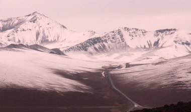
Nevado_6889
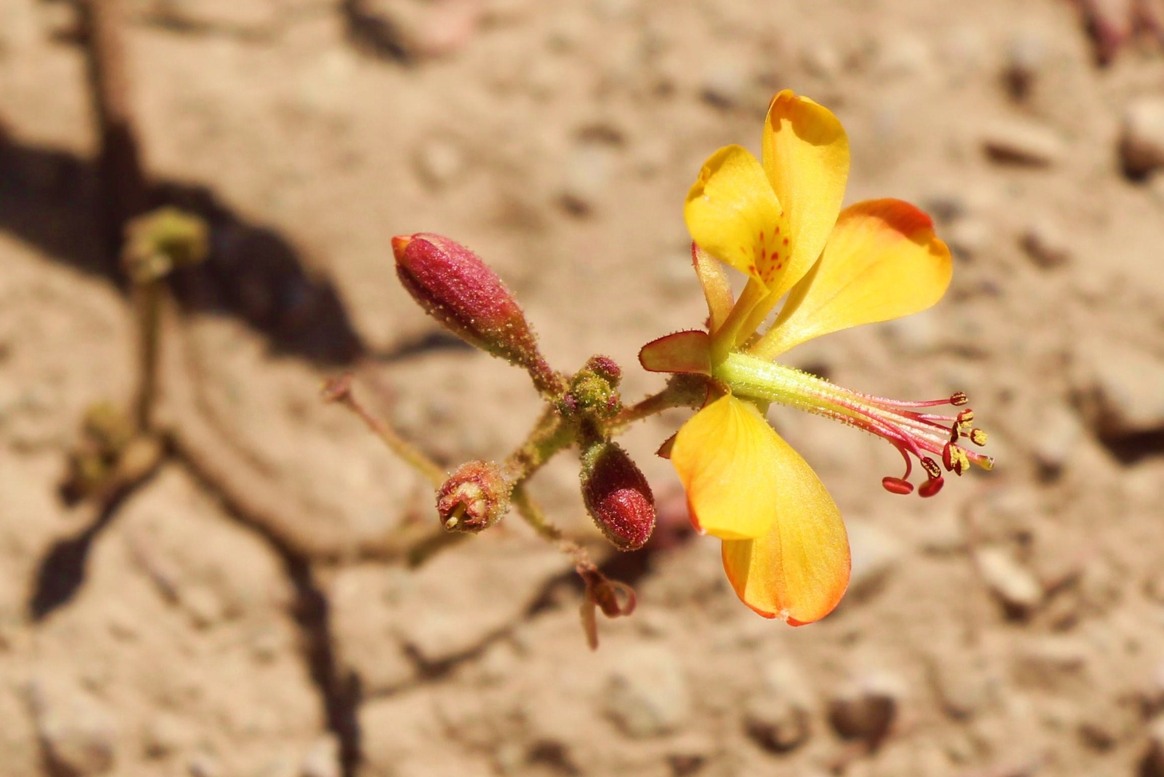
Blüte gelb bei den Imagenes Toquepala nd
Topographic Map of 34B, Peru
Find elevation by address:

Places near 34B, Peru:
34B, Peru
Pasto Grande
Mina Santa Rosa
El Collao Province
Chucuito Province
Puerta De Hayu Marca (the Gate Of The Gods)
Plaza De Armas
Qhantati Ururi
Conde De Lemos
Urb Barrio Central
Puno
Puno
Lambayeque 140
Sonesta Hotel Posadas Del Inca Puno
Uros Islands
Uros Floating Islands
Uros
Titilaka
Uros Khantati Island
Tacasayonipampa
Recent Searches:
- Elevation of Unnamed Road, Respublika Severnaya Osetiya — Alaniya, Russia
- Elevation of Verkhny Fiagdon, North Ossetia–Alania Republic, Russia
- Elevation of F. Viola Hiway, San Rafael, Bulacan, Philippines
- Elevation of Herbage Dr, Gulfport, MS, USA
- Elevation of Lilac Cir, Haldimand, ON N3W 2G9, Canada
- Elevation of Harrod Branch Road, Harrod Branch Rd, Kentucky, USA
- Elevation of Wyndham Grand Barbados Sam Lords Castle All Inclusive Resort, End of Belair Road, Long Bay, Bridgetown Barbados
- Elevation of Iga Trl, Maggie Valley, NC, USA
- Elevation of N Co Rd 31D, Loveland, CO, USA
- Elevation of Lindever Ln, Palmetto, FL, USA