Elevation of 34 Sugar Mill Dr, Okatie, SC, USA
Location: United States > South Carolina > Beaufort County > Okatie >
Longitude: -80.856301
Latitude: 32.336414
Elevation: 7m / 23feet
Barometric Pressure: 101KPa
Elevation Map:
Satellite Map:
Related Photos:
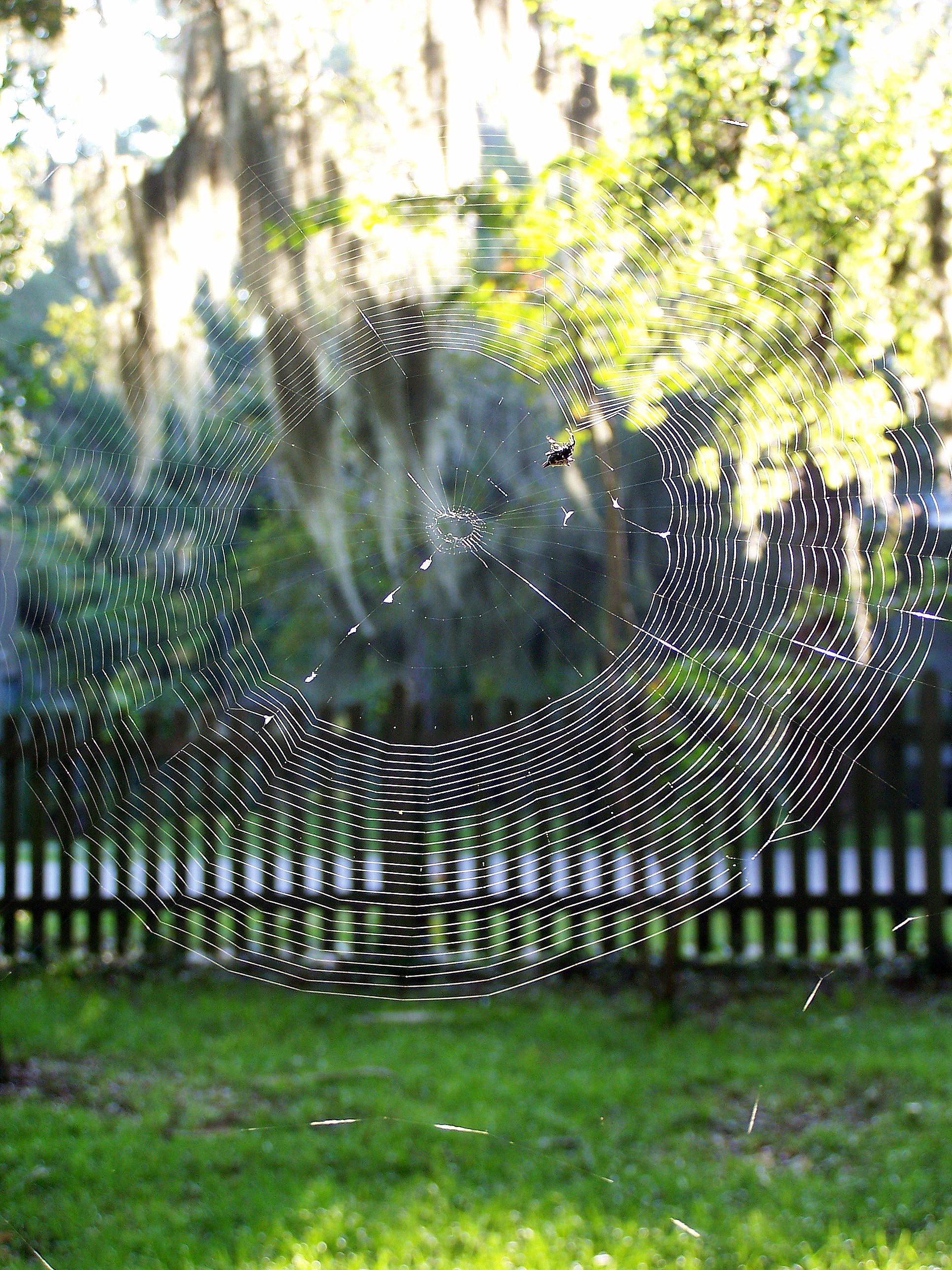
Orb Weaver
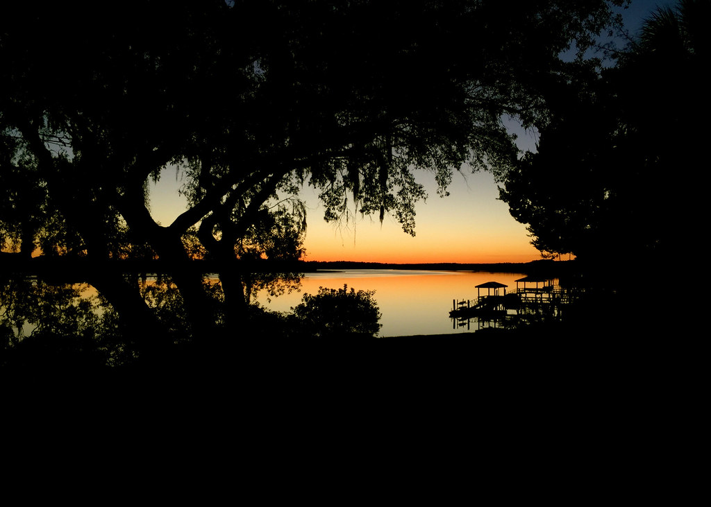
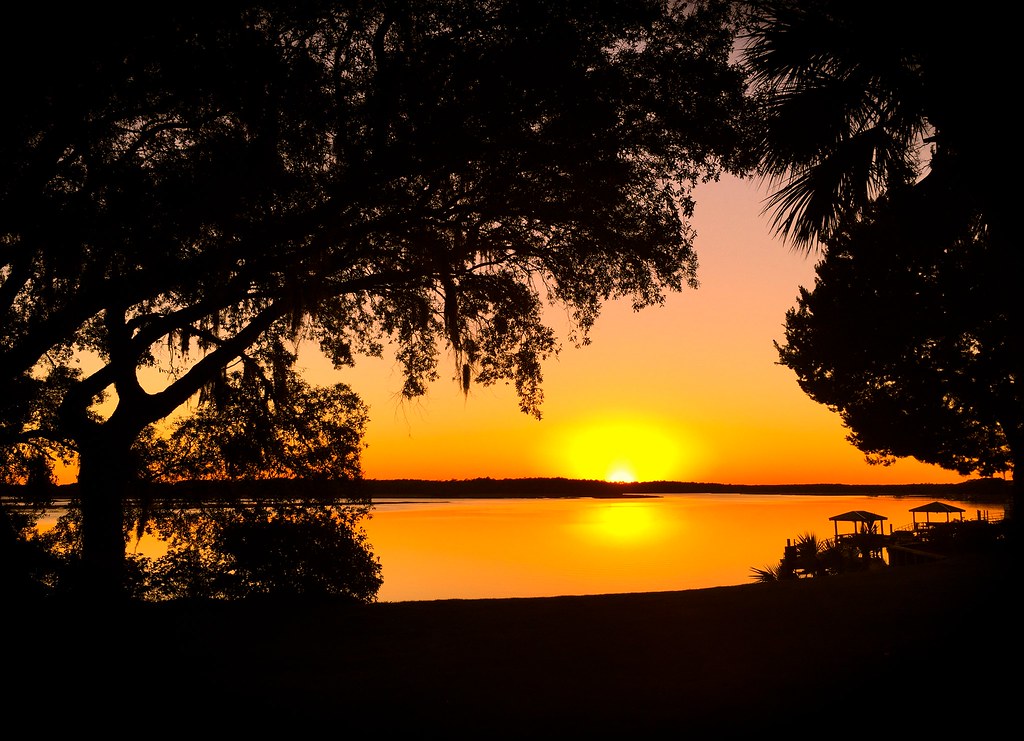
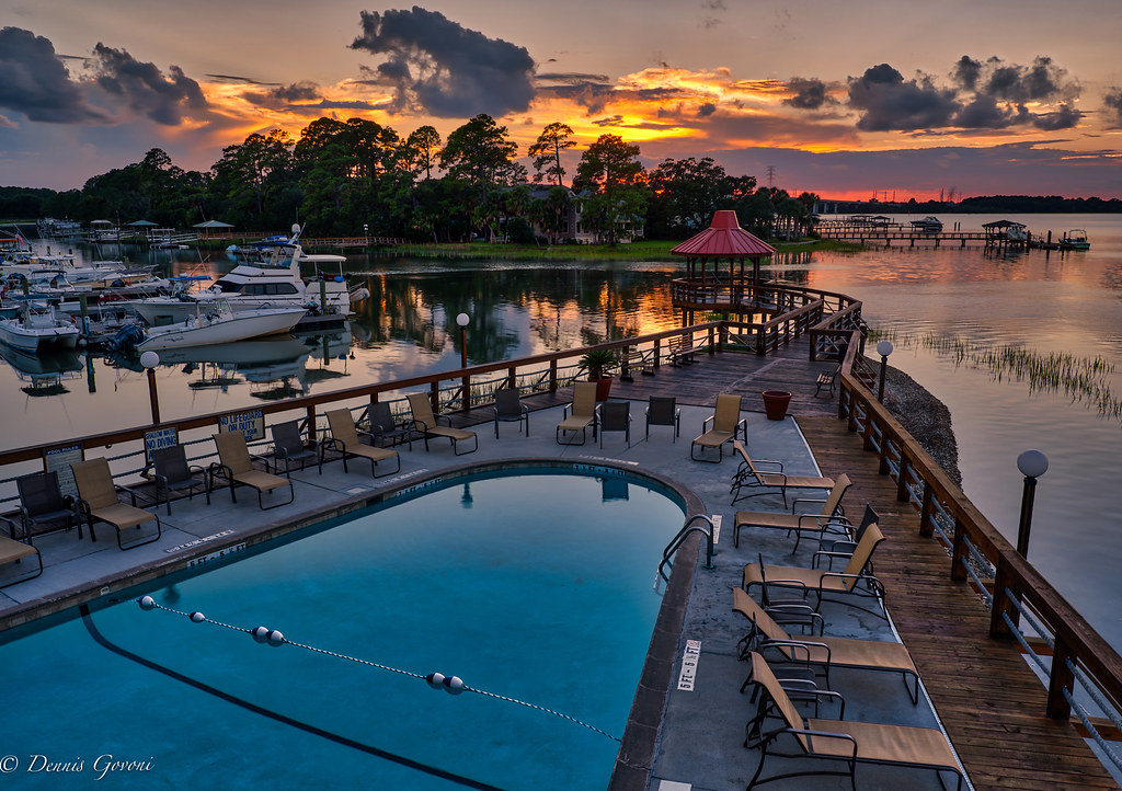
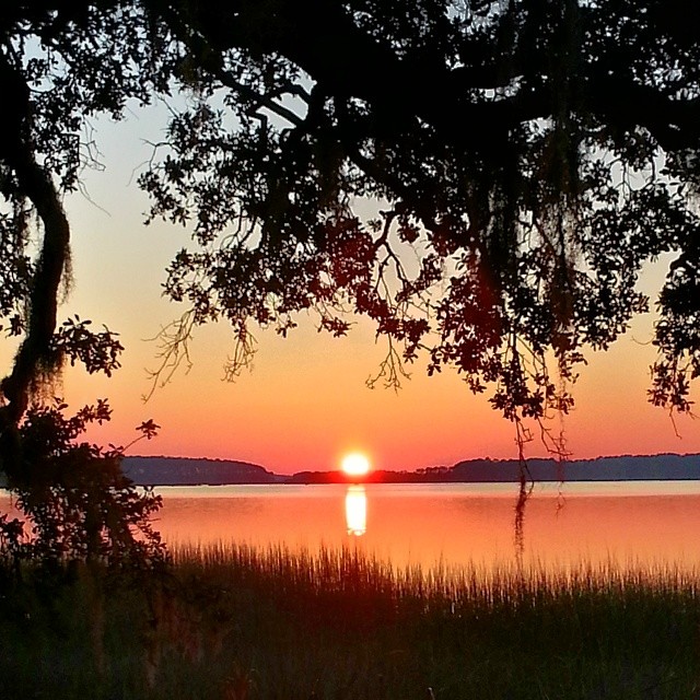
Naturally Framed Sunset

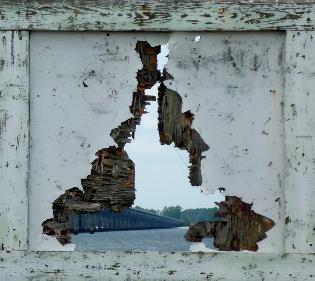
TrackHead Studios - Boat Frame
TrackHead Studios - Bridge Frame

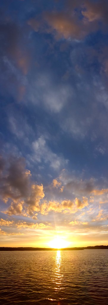
TrackHead Studios - Big Sky Sunset
TrackHead Studios - Which Way?
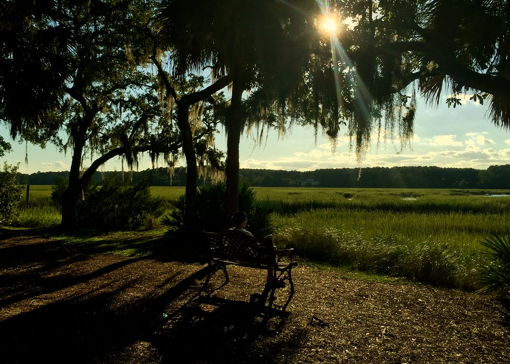
Time for Thought

TrackHead Studios - World Reflected

Palmetto Bluff - New Video

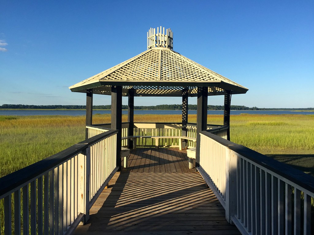
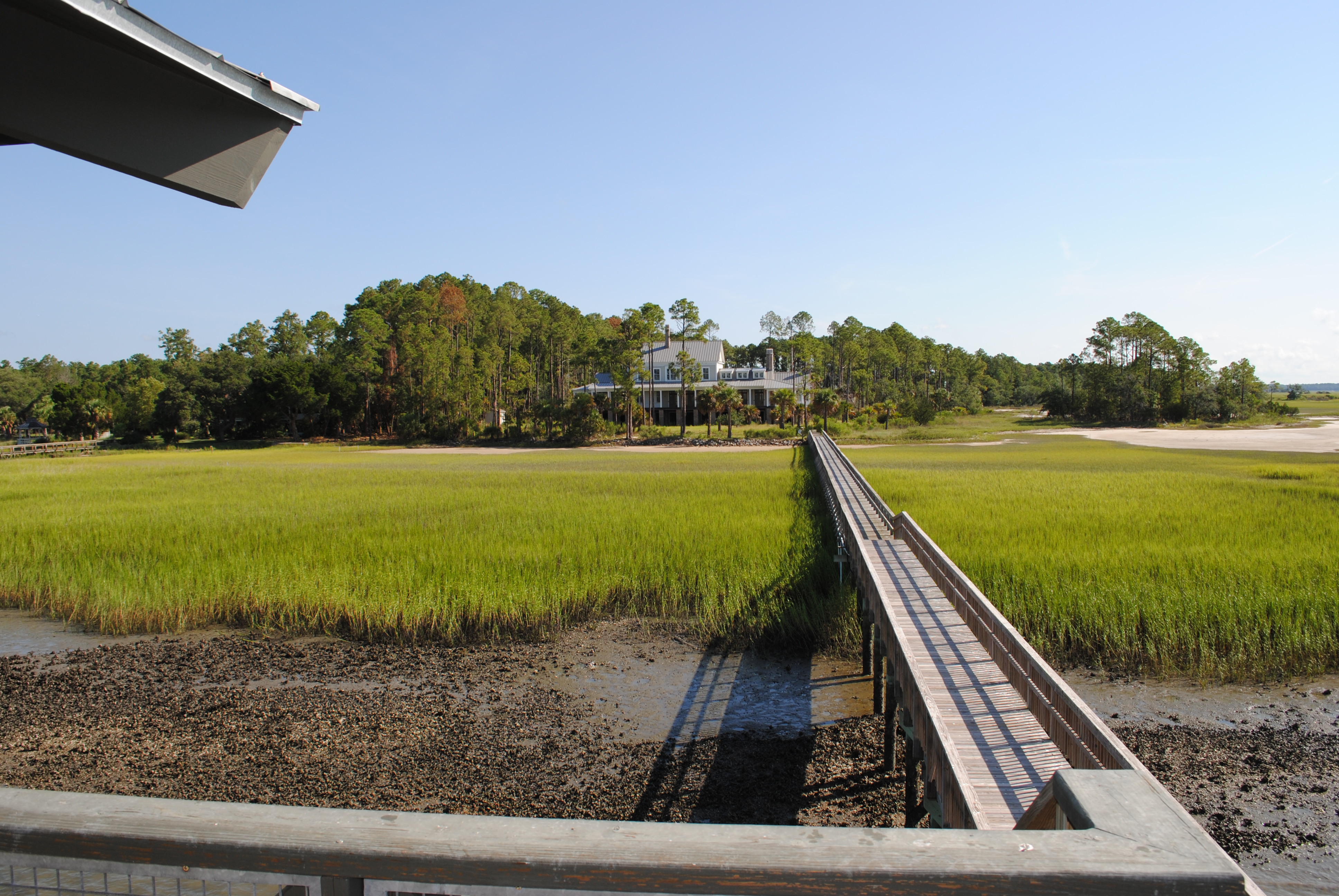
TrackHead Studios - Gateway to the May River

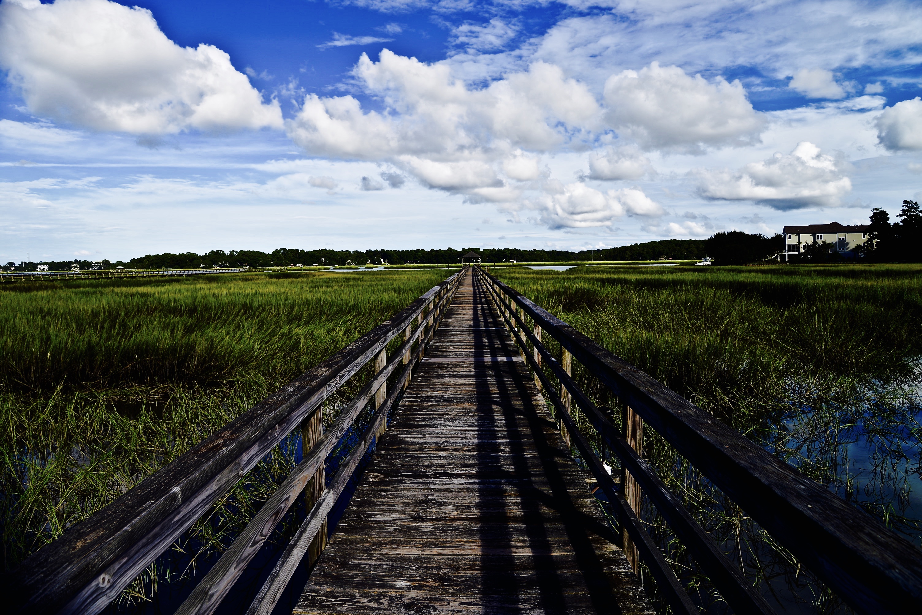
TrackHead Studios - Shadow Ramp
Pretty view from the car on our way to a play area for BabyO
TrackHead Studios - South Carolina
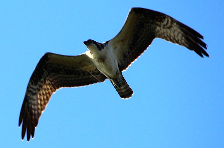
TrackHead Studios - Osprey Overhead

TrackHead Studios - Flip Phone?
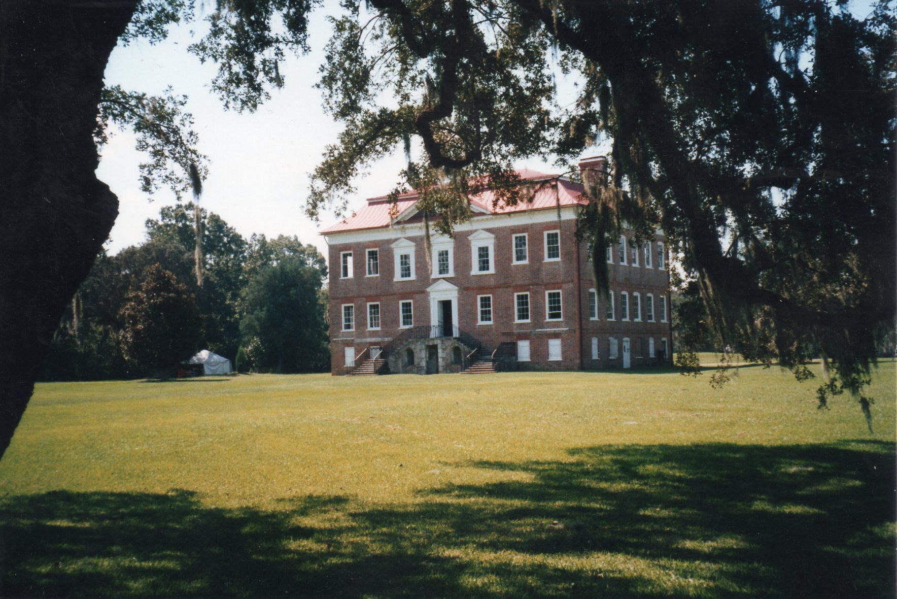
Drayton Hall ~ Charleston, SC ~ Rear View ~ 2001
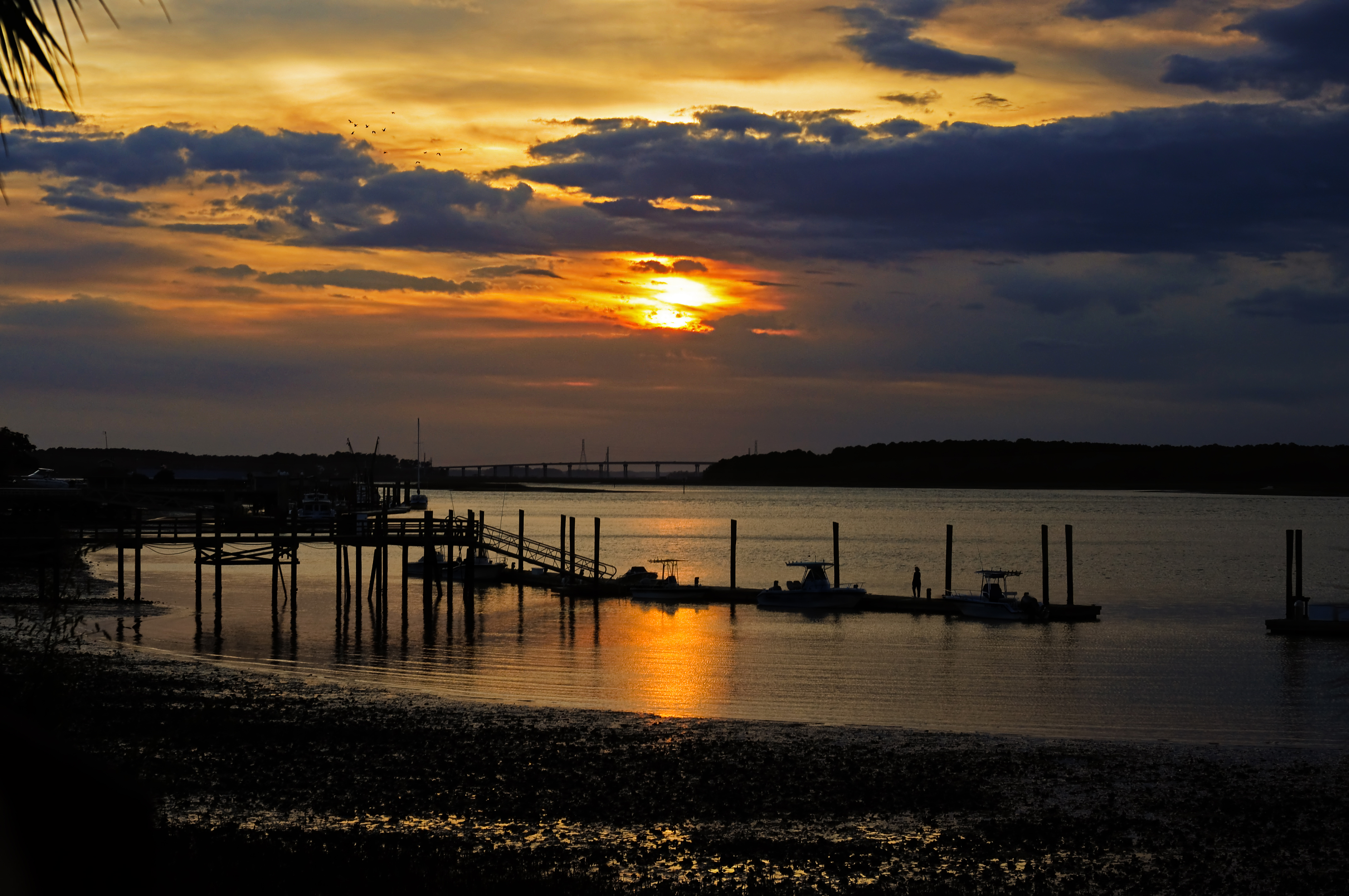
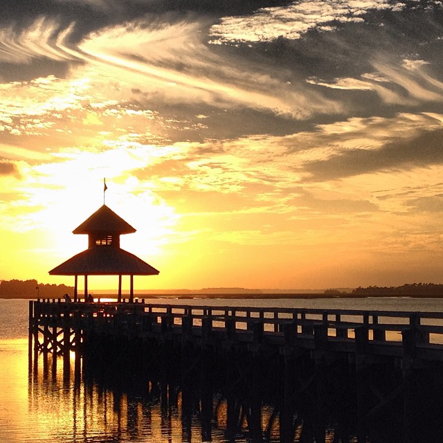
May River Sunset
TrackHead Studios - Connected
TrackHead Studios - Solitude
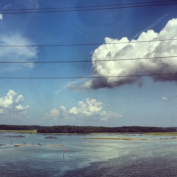
Lemon Island Point
Drayton Hall ~ Charleston, SC ~ 2001

A great egret along the trail
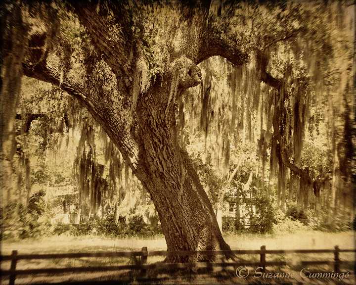
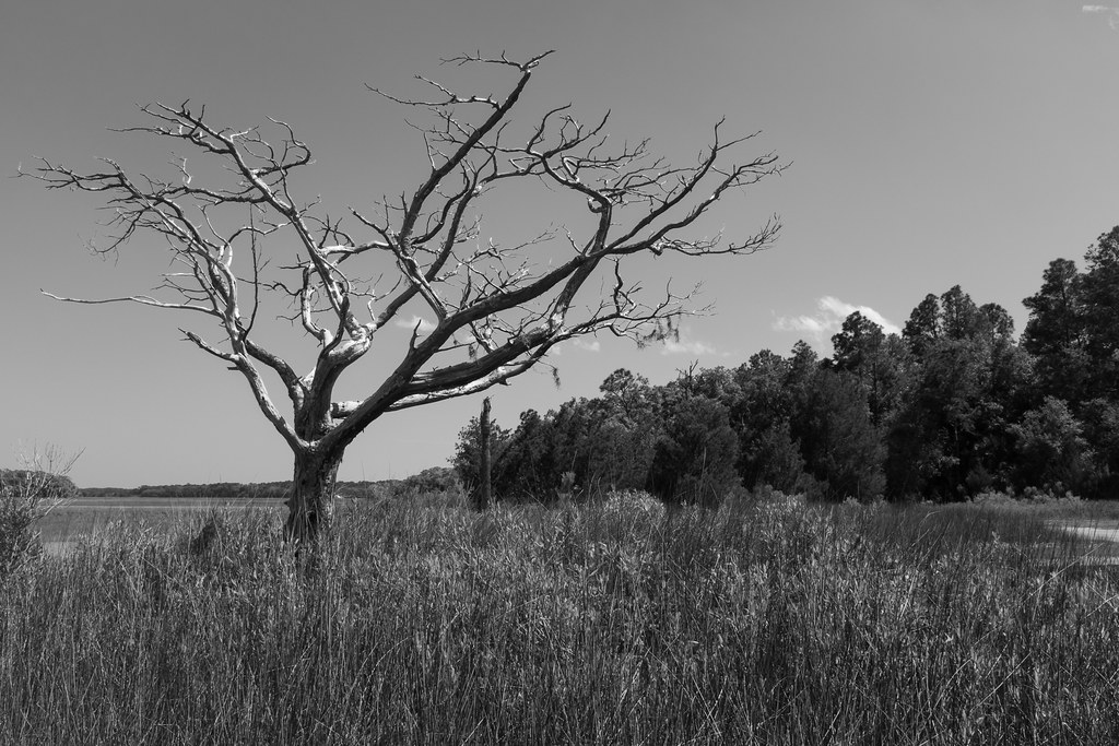
The lone tree
Pelican Airlines
Done for the Night
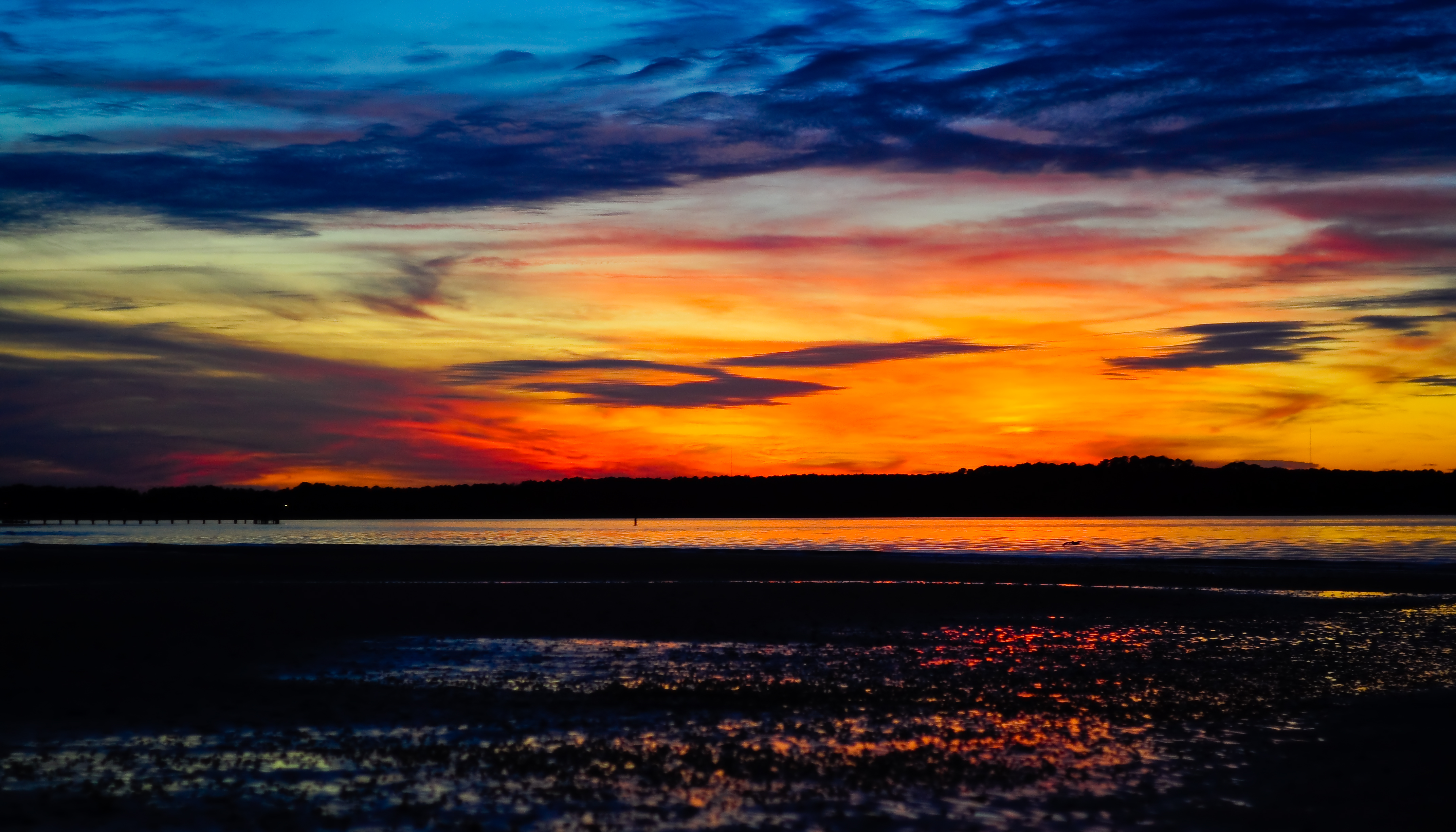
Low Tide Sunset
Cross Island Bridge Sunset
TrackHead Studios - Above
Raintree Country
Pinckney Island
Sunset on Hilton Head

The Coming Storm
Gloomy day at the refuge #Mayfair

May River Sunset
DSC_0622.JPG
DSC_0624.JPG
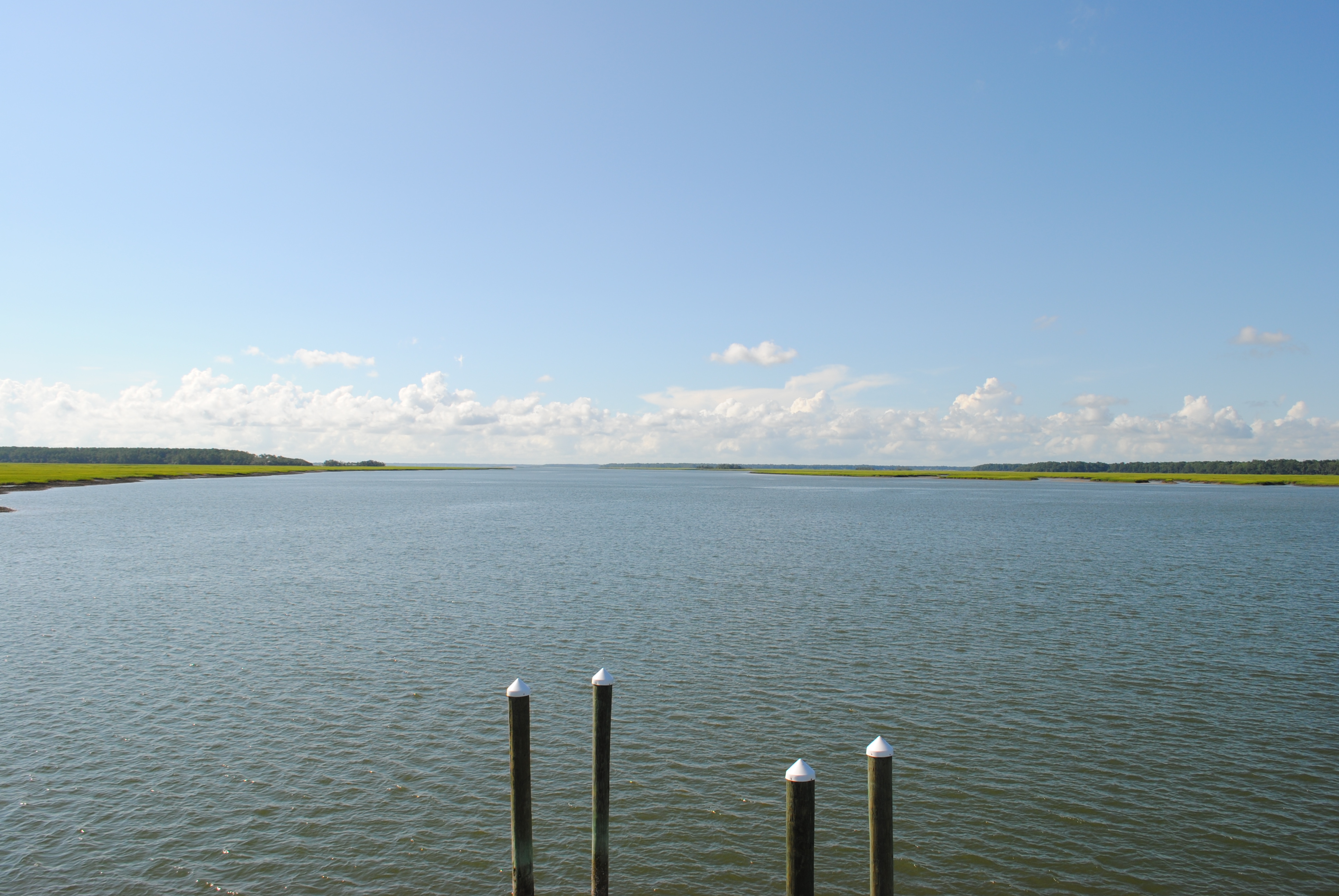
Battery Creek - Beaufort South Carolina
Saturday night sunset from Pinckney Island. #HHI #NoFilter

Setting sunlight in the low country.
Topographic Map of 34 Sugar Mill Dr, Okatie, SC, USA
Find elevation by address:

Places near 34 Sugar Mill Dr, Okatie, SC, USA:
32 Sugar Mill Dr
18 Sugar Mill Dr
12 Sugar Mill Dr
11 Sugar Mill Dr
14 Spring Island Dr
8 Chechessee Cir
43 Heron Walk
3 Winding Oak Dr
20 Heron Walk
13 Heron Walk
53 Heron Walk
12 Heron Walk
9 Heron Walk
7 Heron Walk
31 Spring Island Dr
44 Callawassie Club Dr
14 River Marsh Ln
Callawassie Island
50 Spring Island Dr
5 Long Creek Dr
Recent Searches:
- Elevation of Congressional Dr, Stevensville, MD, USA
- Elevation of Bellview Rd, McLean, VA, USA
- Elevation of Stage Island Rd, Chatham, MA, USA
- Elevation of Shibuya Scramble Crossing, 21 Udagawacho, Shibuya City, Tokyo -, Japan
- Elevation of Jadagoniai, Kaunas District Municipality, Lithuania
- Elevation of Pagonija rock, Kranto 7-oji g. 8"N, Kaunas, Lithuania
- Elevation of Co Rd 87, Jamestown, CO, USA
- Elevation of Tenjo, Cundinamarca, Colombia
- Elevation of Côte-des-Neiges, Montreal, QC H4A 3J6, Canada
- Elevation of Bobcat Dr, Helena, MT, USA