Elevation of 34 Okatie Park Cir E, Ridgeland, SC, USA
Location: United States > South Carolina > Jasper County > Ridgeland >
Longitude: -80.884962
Latitude: 32.3525095
Elevation: 7m / 23feet
Barometric Pressure: 101KPa
Elevation Map:
Satellite Map:
Related Photos:

TrackHead Studios - Boat Frame
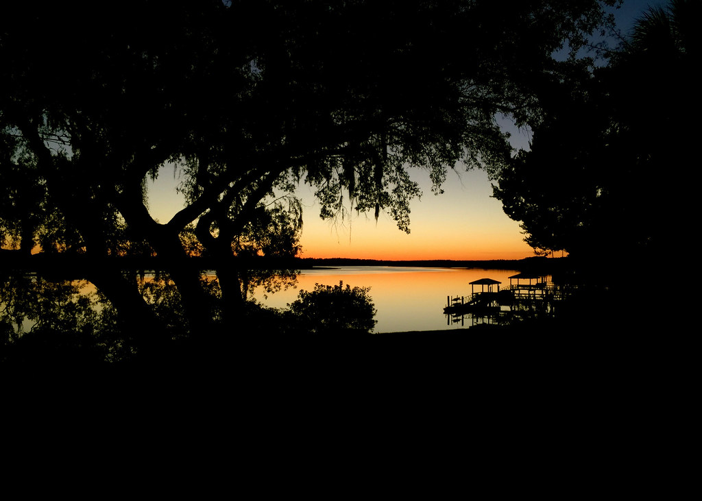
Naturally Framed Sunset
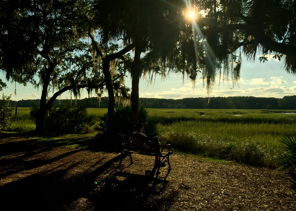
Time for Thought
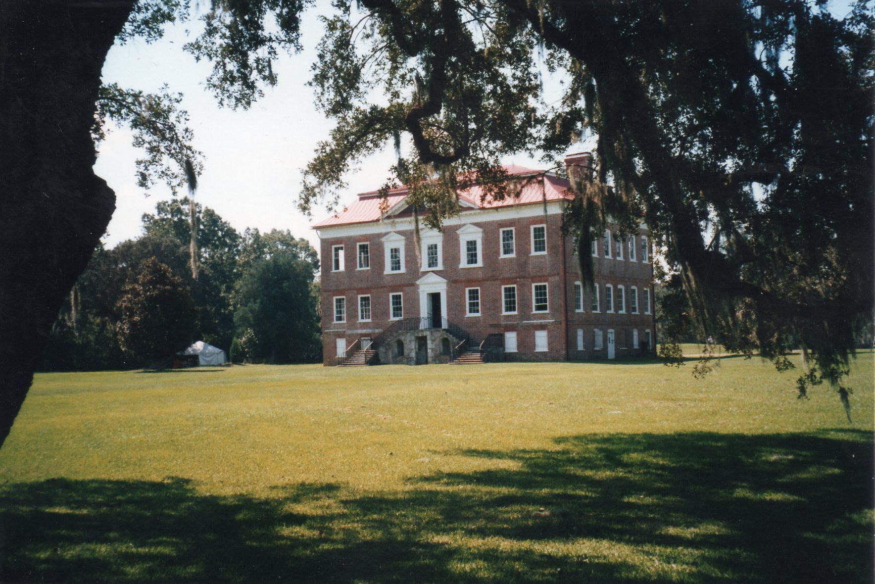
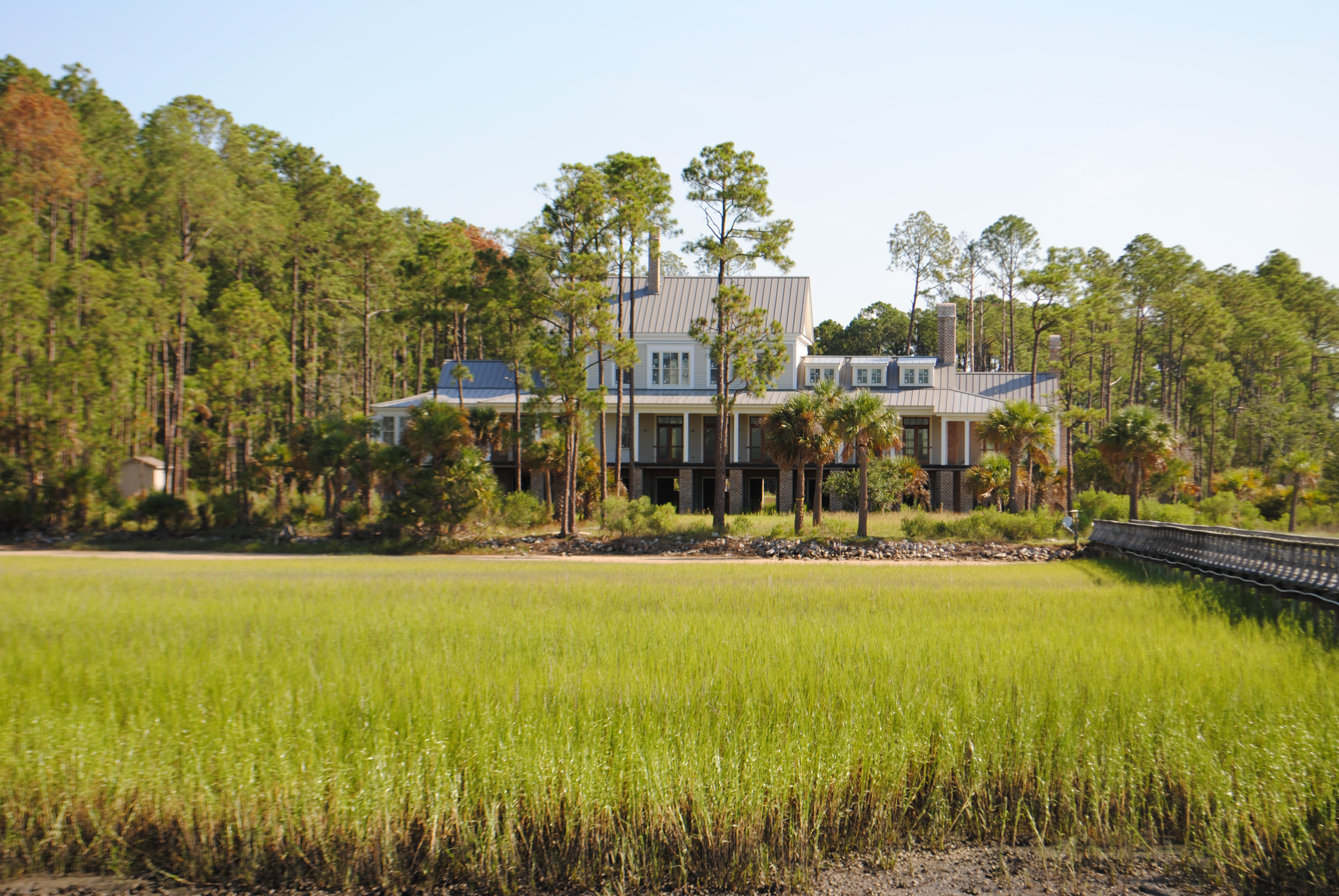
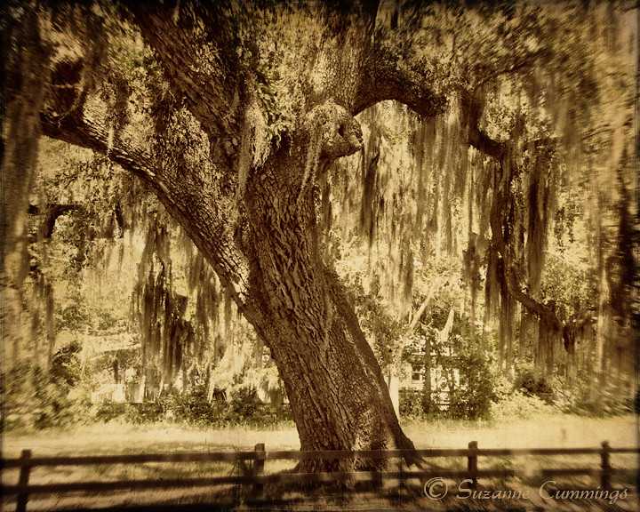
Drayton Hall ~ Charleston, SC ~ Rear View ~ 2001
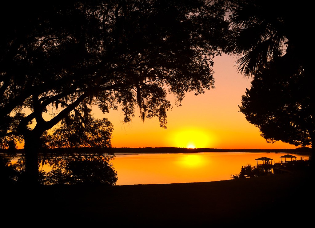
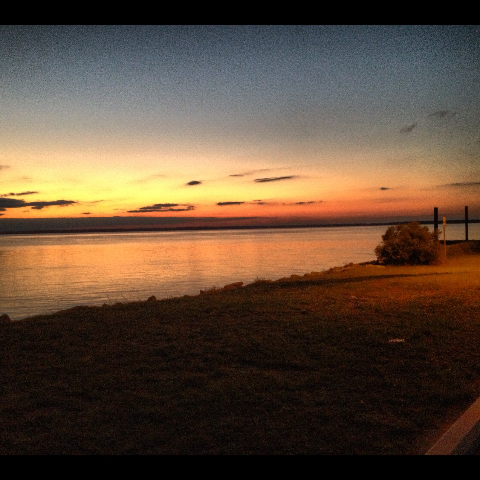
May River Sunset
TrackHead Studios - Solitude

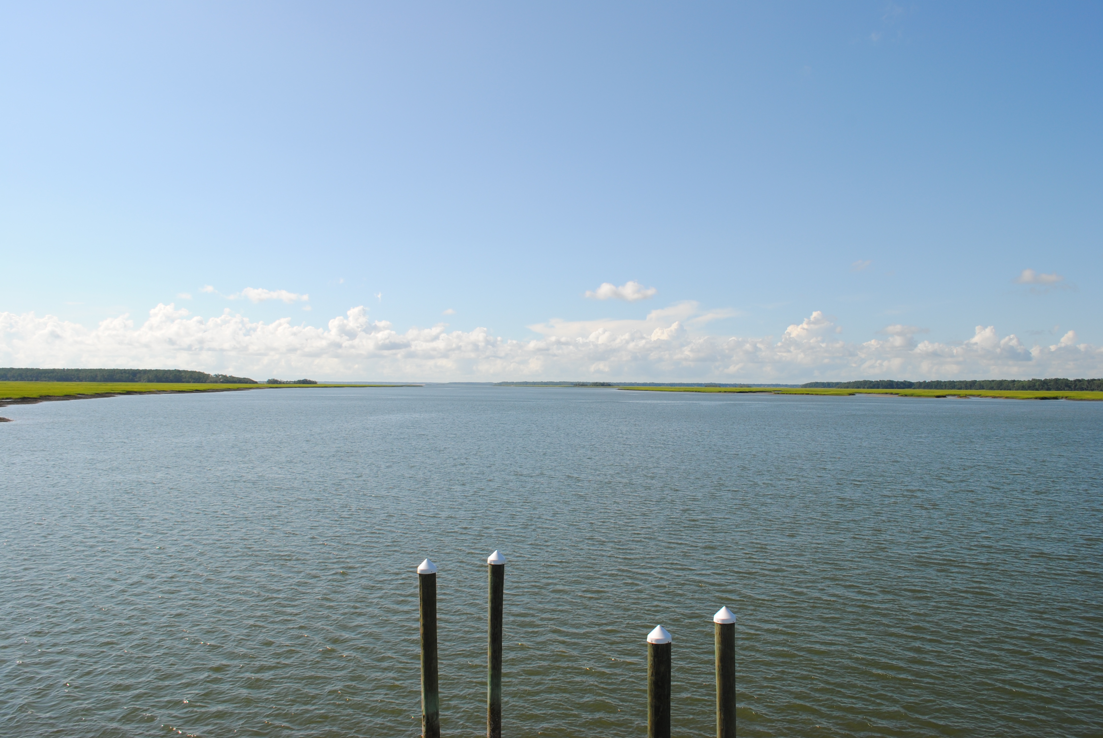
Lemon Island Point
Lemon Island Point
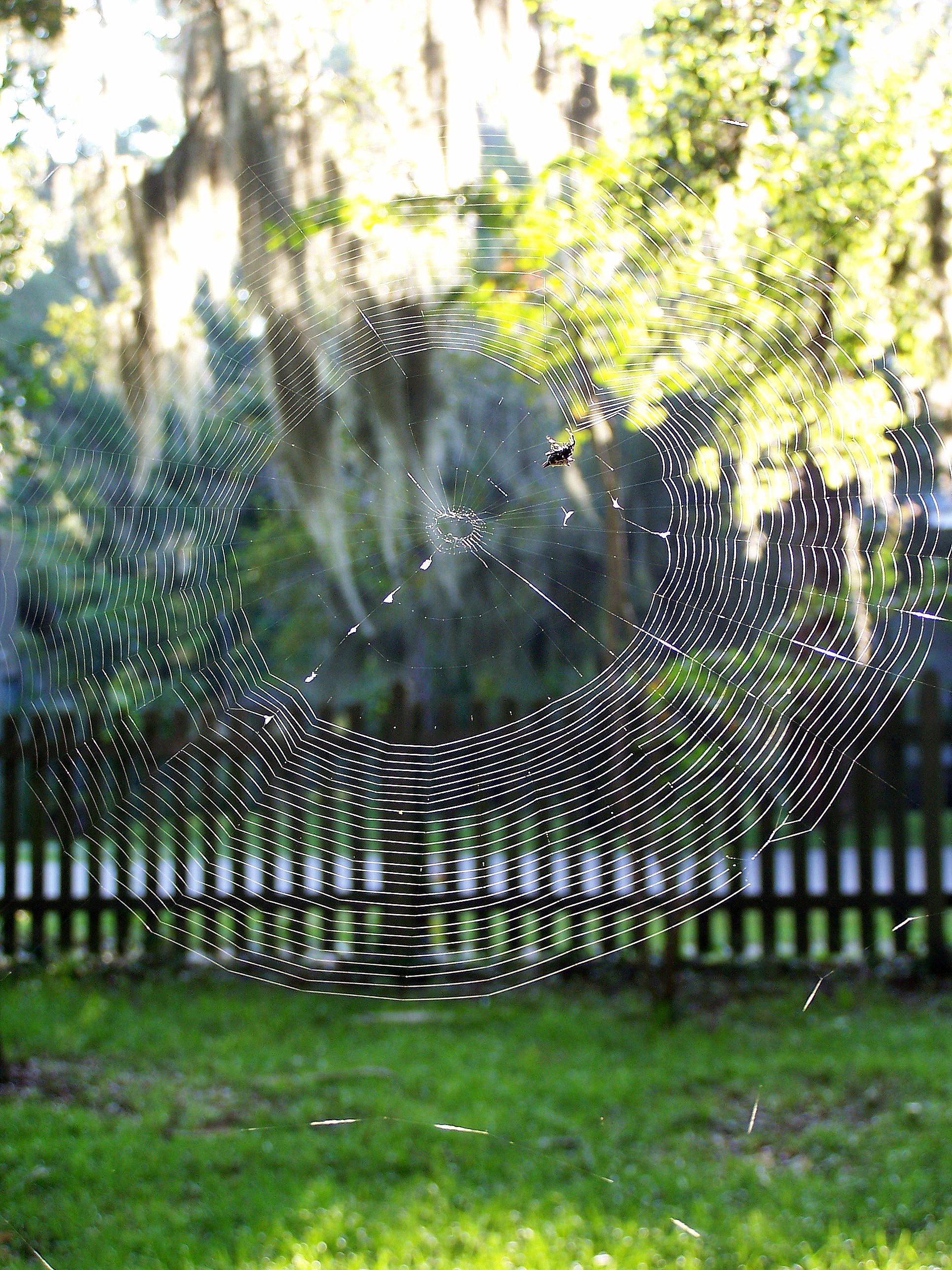
Orb Weaver

TrackHead Studios - Bridge Frame

TrackHead Studios - Big Sky Sunset
TrackHead Studios - Which Way?

TrackHead Studios - World Reflected

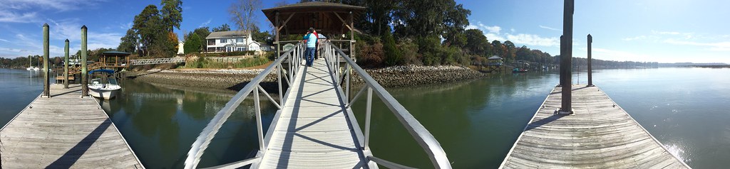
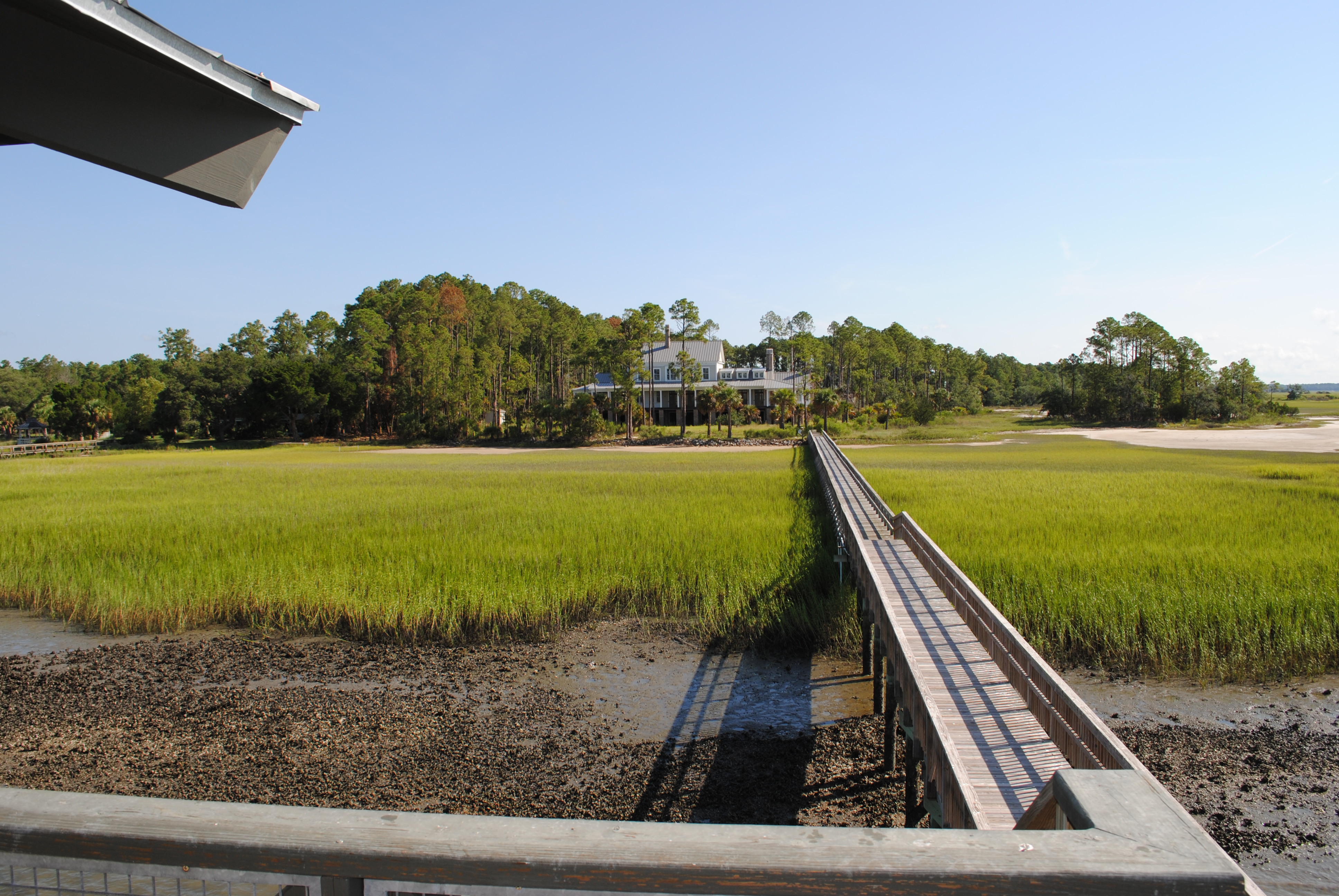
TrackHead Studios - Gateway to the May River

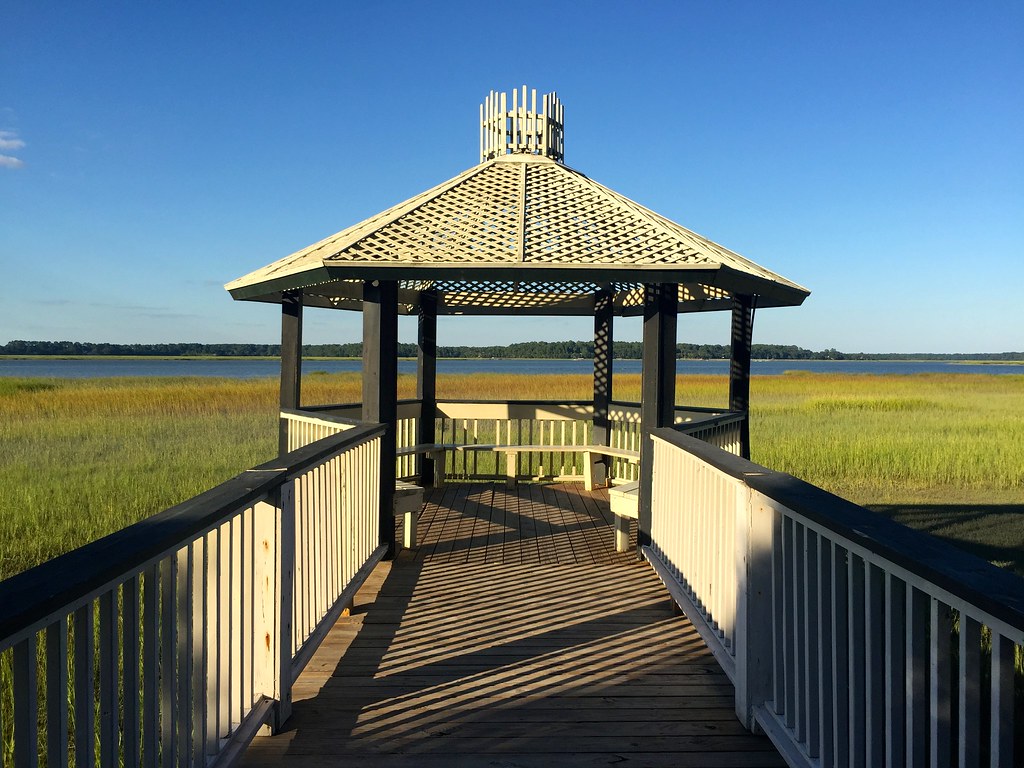
TrackHead Studios - Shadow Ramp

TrackHead Studios - Osprey Overhead
TrackHead Studios - South Carolina
Pretty view from the car on our way to a play area for BabyO

TrackHead Studios - Flip Phone?
TrackHead Studios - Connected
Lemon Island Point
Raintree Country
DSC_0624.JPG
DSC_0622.JPG

Lemon Island Point

Broad River Sunset
Broad River Boat Landing
Lemon Island Point

Sunset over the south
223A Azalea Drive-Hampton Pointe-0025
121 Wicklow Drive - Hampton Hall - Bluffton Real Estate - 2
Tree overlooking water

TrackHead Studios - Above

May River Sunset
New River Paddling-92

May River

Shrimp boat at Sunset
Topographic Map of 34 Okatie Park Cir E, Ridgeland, SC, USA
Find elevation by address:

Places near 34 Okatie Park Cir E, Ridgeland, SC, USA:
133 Okatie Park Cir E
192 Broad Wood Estates Rd
4 Cardinal Ln
1 Cardinal Ln
Hazzard Creek Road
11 Okatie Bluff Rd
32 Chechessee Bluff Cir
7 Pierpoint Ln
Pierpoint Lane
23 Glover Rd
1329 Bees Creek Rd
259 Wellington Loop
158 Graham Hall
1728 Bees Creek Rd
2898 Honey Hill Cir
2159 Bees Creek Rd
Carriage Circle
Honey Hill Circle
91 Klugh Ave
925 Ridgeland Lakes Drive
Recent Searches:
- Elevation of Sattva Horizon, 4JC6+G9P, Vinayak Nagar, Kattigenahalli, Bengaluru, Karnataka, India
- Elevation of Great Brook Sports, Gold Star Hwy, Groton, CT, USA
- Elevation of 10 Mountain Laurels Dr, Nashua, NH, USA
- Elevation of 16 Gilboa Ln, Nashua, NH, USA
- Elevation of Laurel Rd, Townsend, TN, USA
- Elevation of 3 Nestling Wood Dr, Long Valley, NJ, USA
- Elevation of Ilungu, Tanzania
- Elevation of Yellow Springs Road, Yellow Springs Rd, Chester Springs, PA, USA
- Elevation of Rēzekne Municipality, Latvia
- Elevation of Plikpūrmaļi, Vērēmi Parish, Rēzekne Municipality, LV-, Latvia