Elevation of 34 Atyeo Ln, Maquapit Lake, NB E4B 4B6, Canada
Location: Canada > New Brunswick > Queens County > Canning > Maquapit Lake >
Longitude: -66.182836
Latitude: 45.9332529
Elevation: 5m / 16feet
Barometric Pressure: 101KPa
Elevation Map:
Satellite Map:
Related Photos:

Long Journey Home

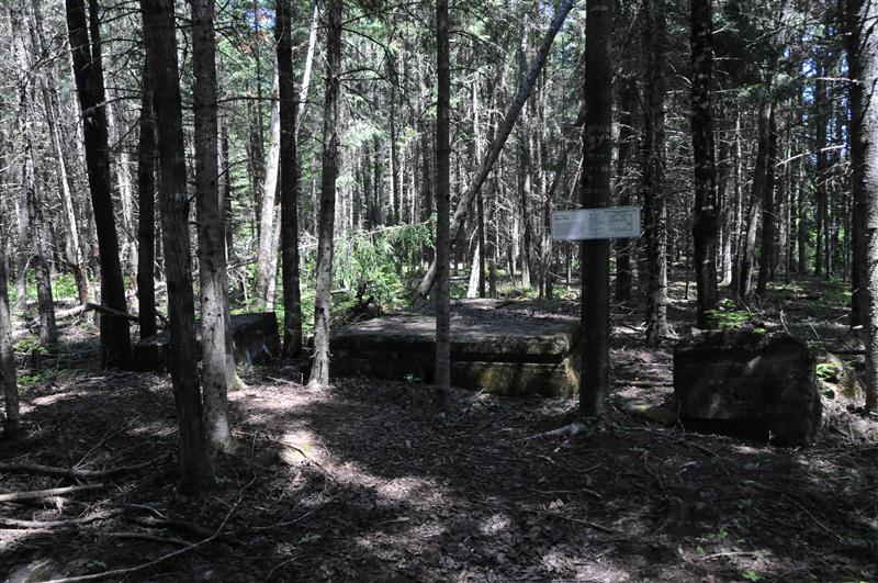
Old Shed
DSB_4728 (Medium)
battery trip #1
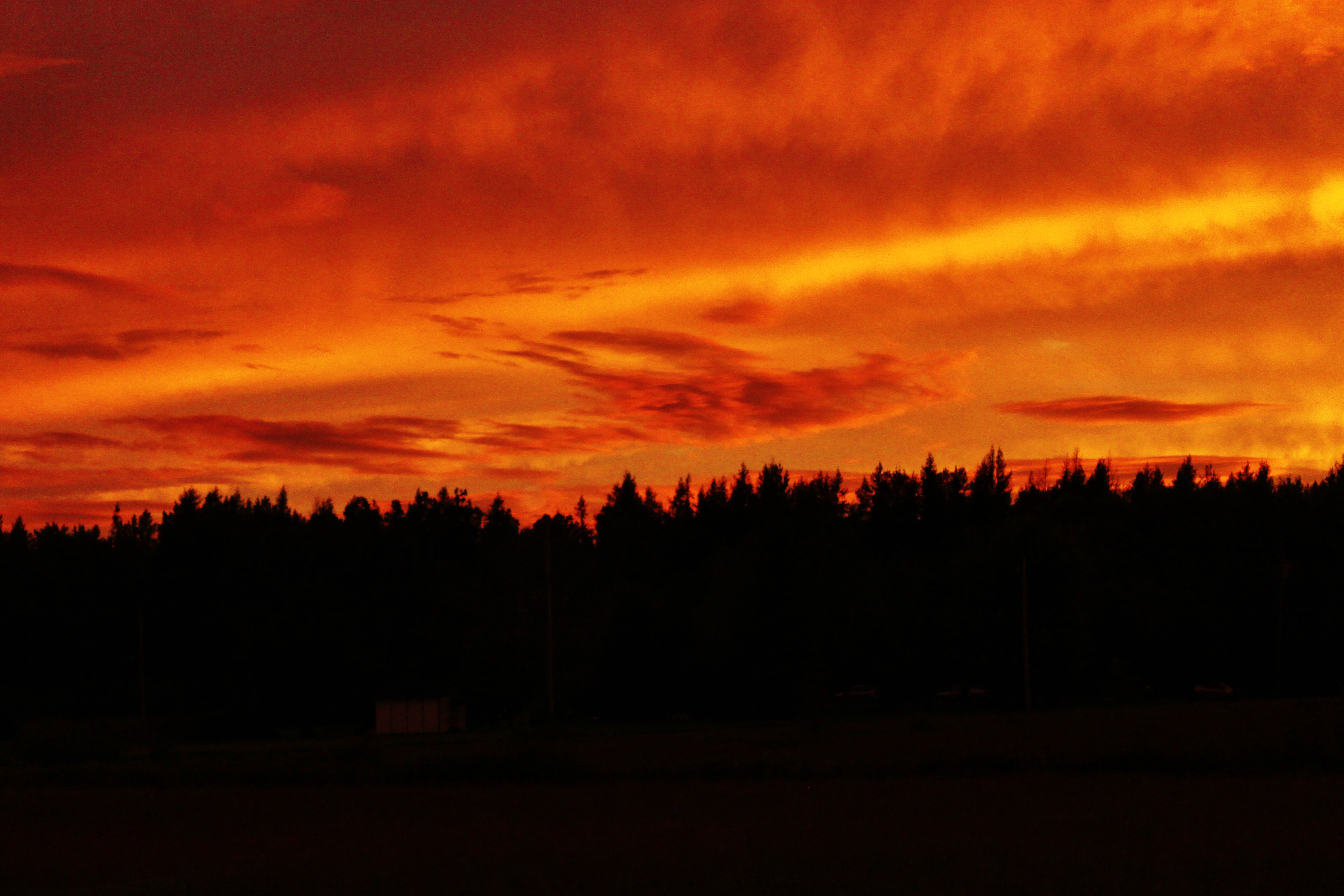
Beautiful Sunset at Mohawk Camping in New Brunswick!
Near Lyndseys hoose!
Fall-79
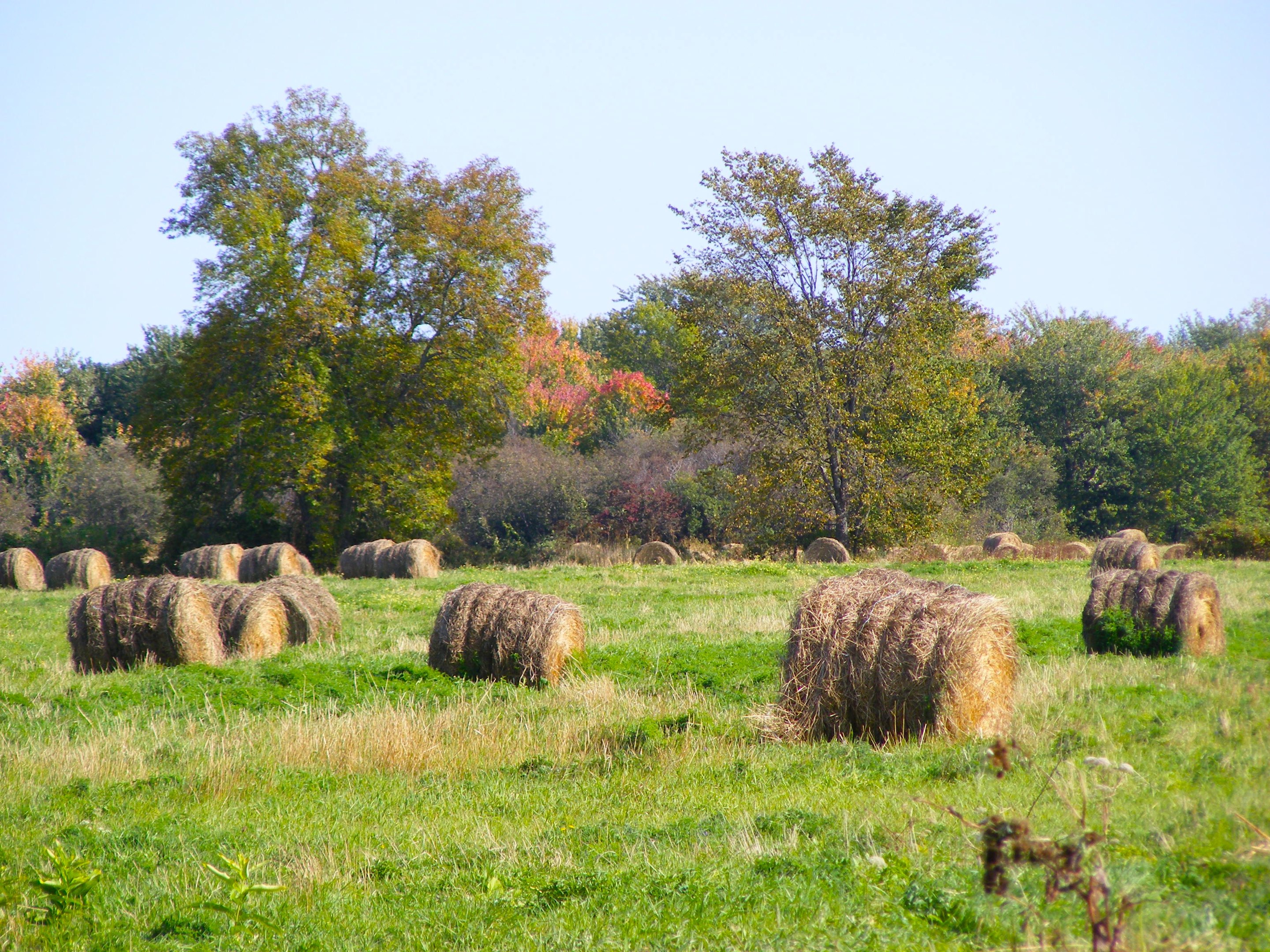
Hay Bales

Hay Bales - Orton
Hay Bales
"Architecture should speak of its time and place, but yearn for timelessness" - Frank Gehry
Fall-78
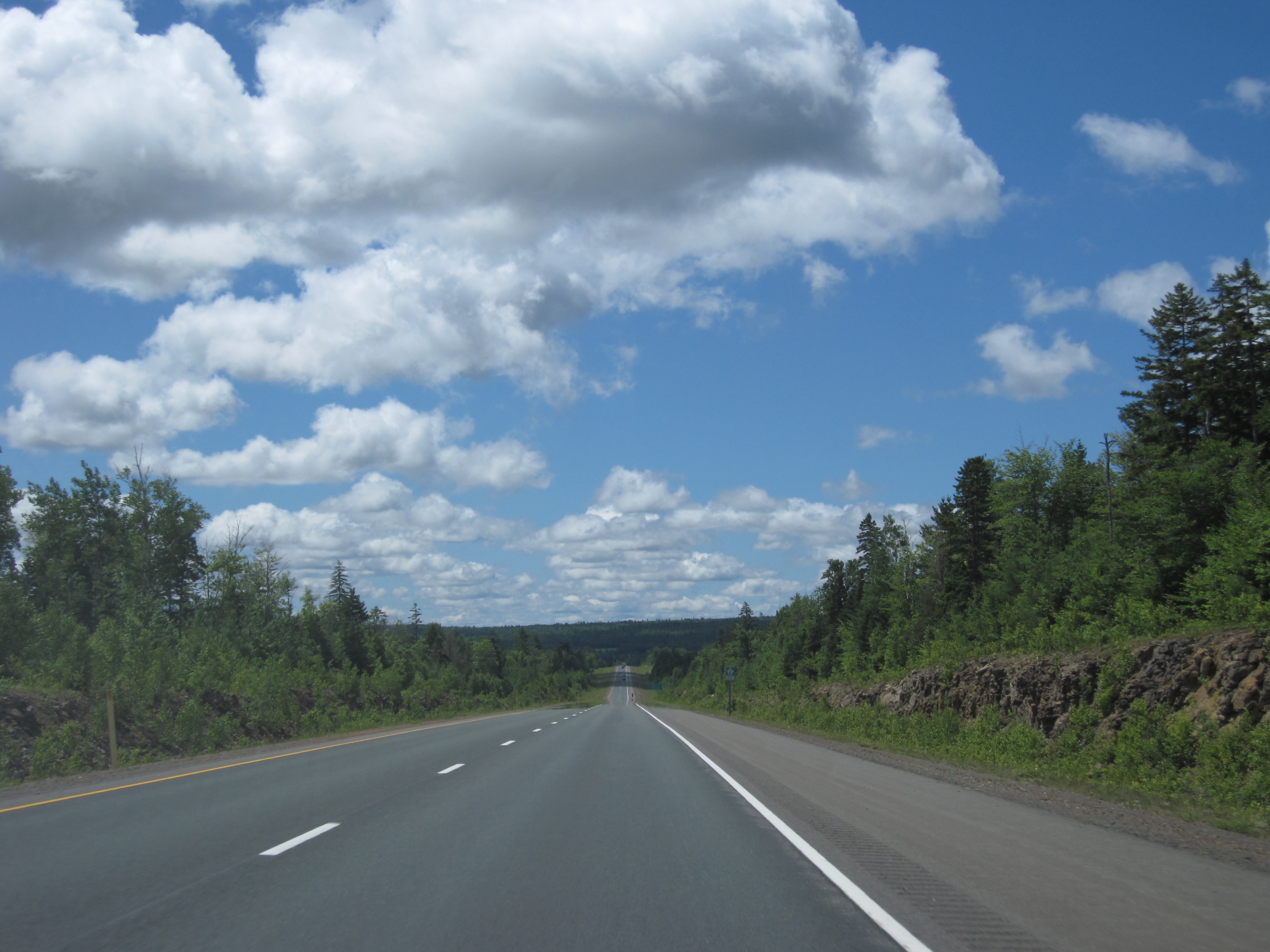
Day 7, Halifax, NS - Kingfield, ME 039
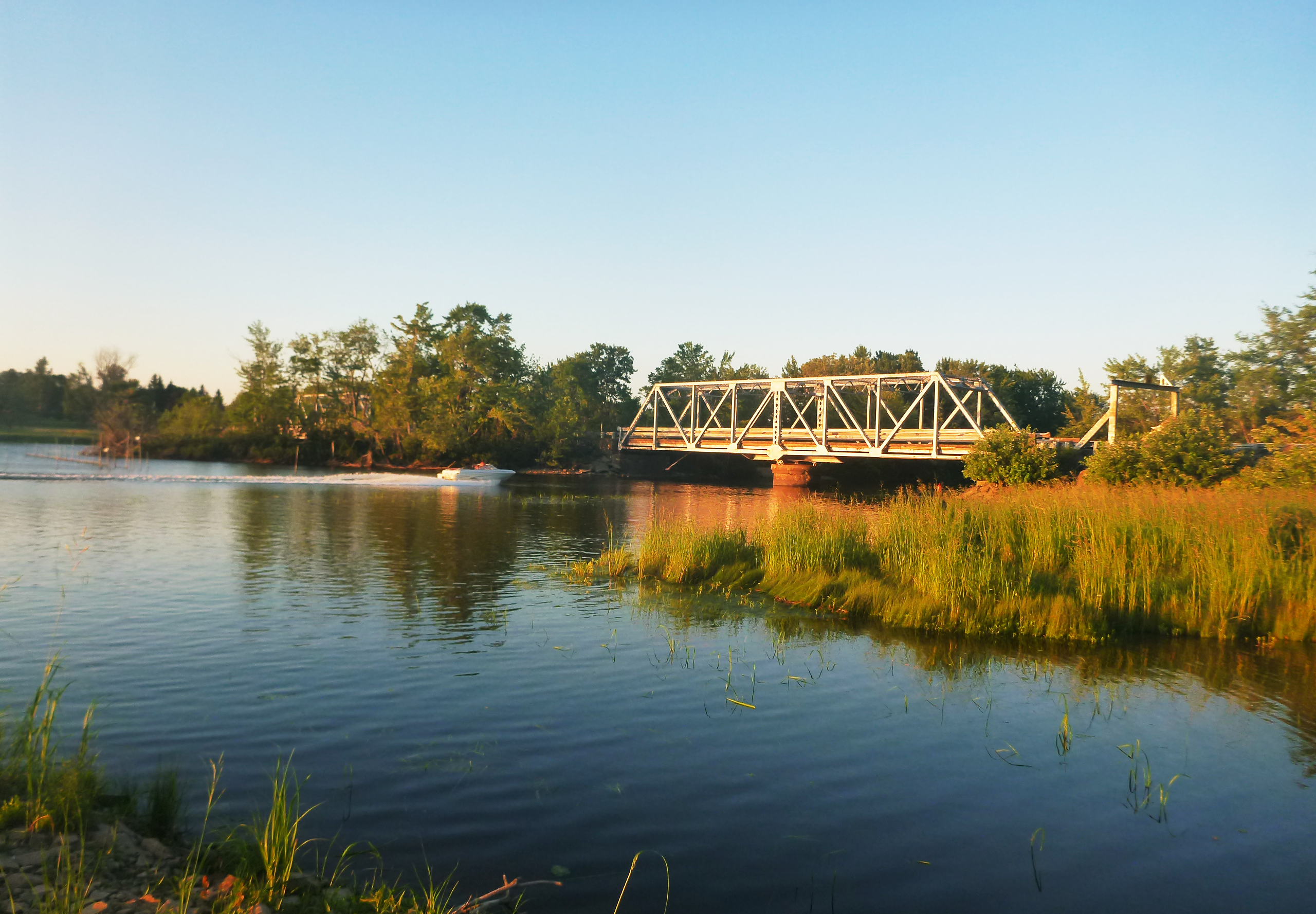
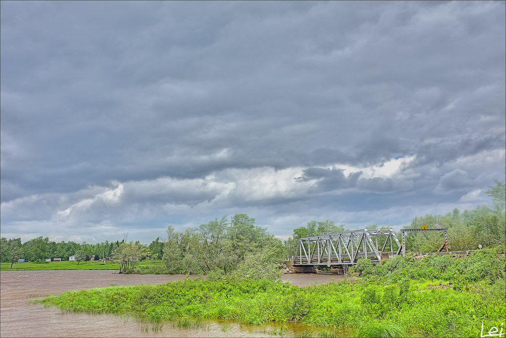
Meadow bridge
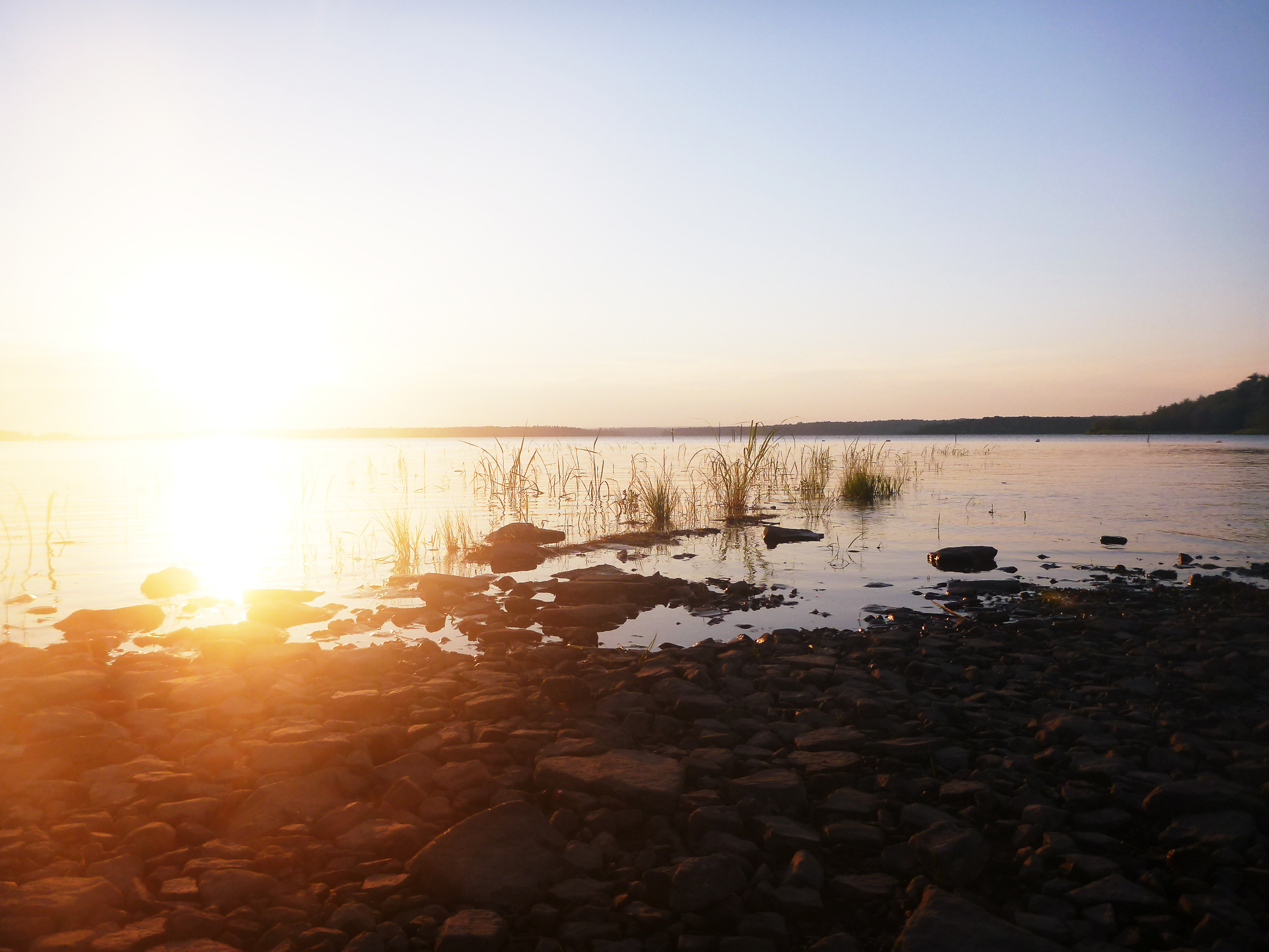
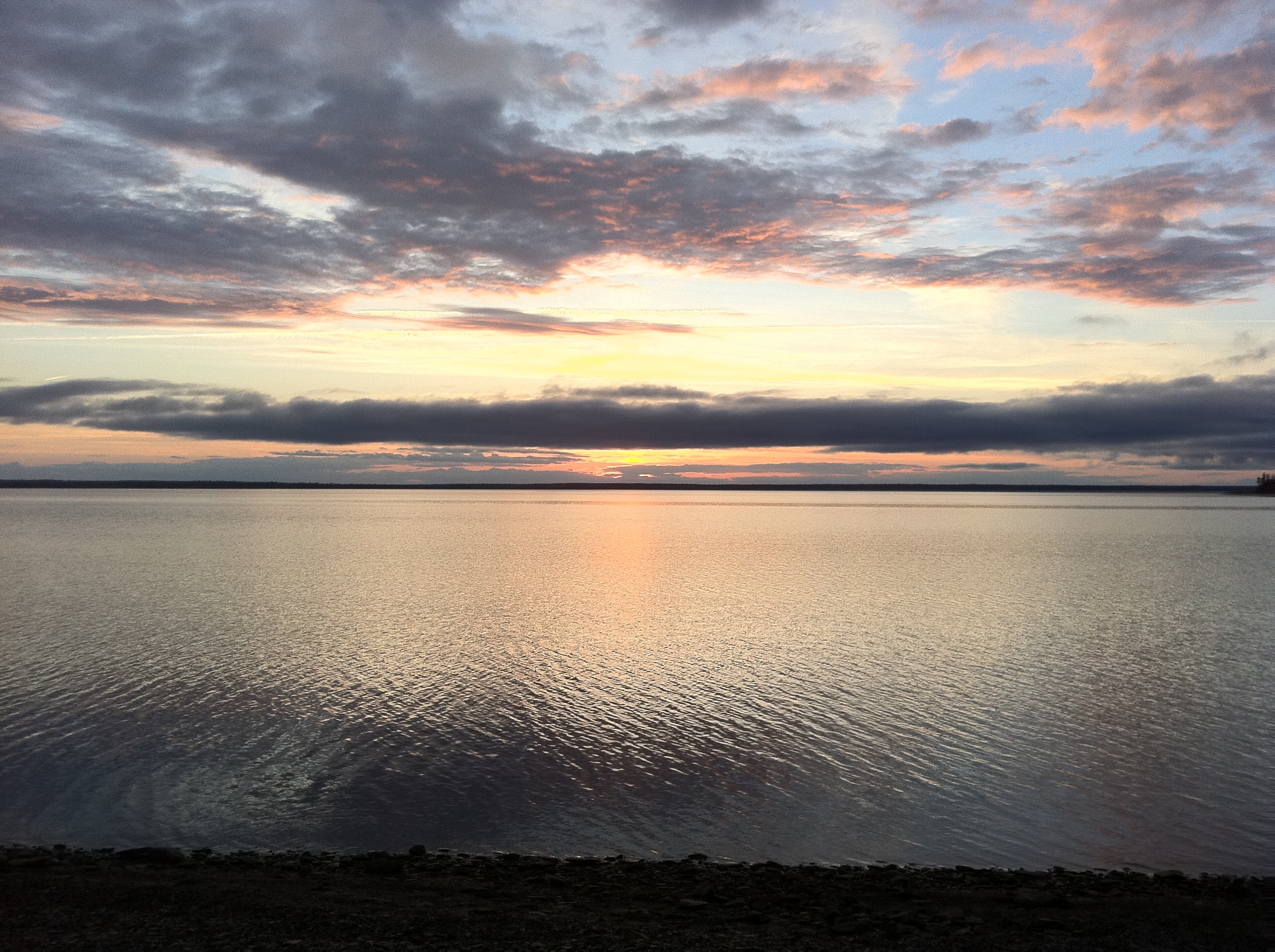
Sunset at the meadow
Topographic Map of 34 Atyeo Ln, Maquapit Lake, NB E4B 4B6, Canada
Find elevation by address:

Places near 34 Atyeo Ln, Maquapit Lake, NB E4B 4B6, Canada:
Maquapit Lake
E4b 1r1
38 Shore Rd, Clarks Corner, NB E4B 1R7, Canada
63 Shore Rd
Scotchtown
Clarks Corner
Ripples Station Rd, Ripples, NB E4B 1C2, Canada
Ripples
Douglas Harbour
3 Douglas Harbour Wharf Rd, Douglas Harbour, NB E4B 1W2, Canada
Sheffield
Indian Lake Road
E4b 1m1
Johns Lane
Robertson Point Road
Robertson Point Road
45 Robertson Point Rd
Jemseg Lakeview Motel
Mcgowans Corner
Jemseg
Recent Searches:
- Elevation of Jadagoniai, Kaunas District Municipality, Lithuania
- Elevation of Pagonija rock, Kranto 7-oji g. 8"N, Kaunas, Lithuania
- Elevation of Co Rd 87, Jamestown, CO, USA
- Elevation of Tenjo, Cundinamarca, Colombia
- Elevation of Côte-des-Neiges, Montreal, QC H4A 3J6, Canada
- Elevation of Bobcat Dr, Helena, MT, USA
- Elevation of Zu den Ihlowbergen, Althüttendorf, Germany
- Elevation of Badaber, Peshawar, Khyber Pakhtunkhwa, Pakistan
- Elevation of SE Heron Loop, Lincoln City, OR, USA
- Elevation of Slanický ostrov, 01 Námestovo, Slovakia