Elevation of 33 Les Baylars(Hameau), Montbel, France
Location: France > Ariege > Montbel >
Longitude: 1.9584791
Latitude: 42.9675646
Elevation: 411m / 1348feet
Barometric Pressure: 96KPa
Elevation Map:
Satellite Map:
Related Photos:

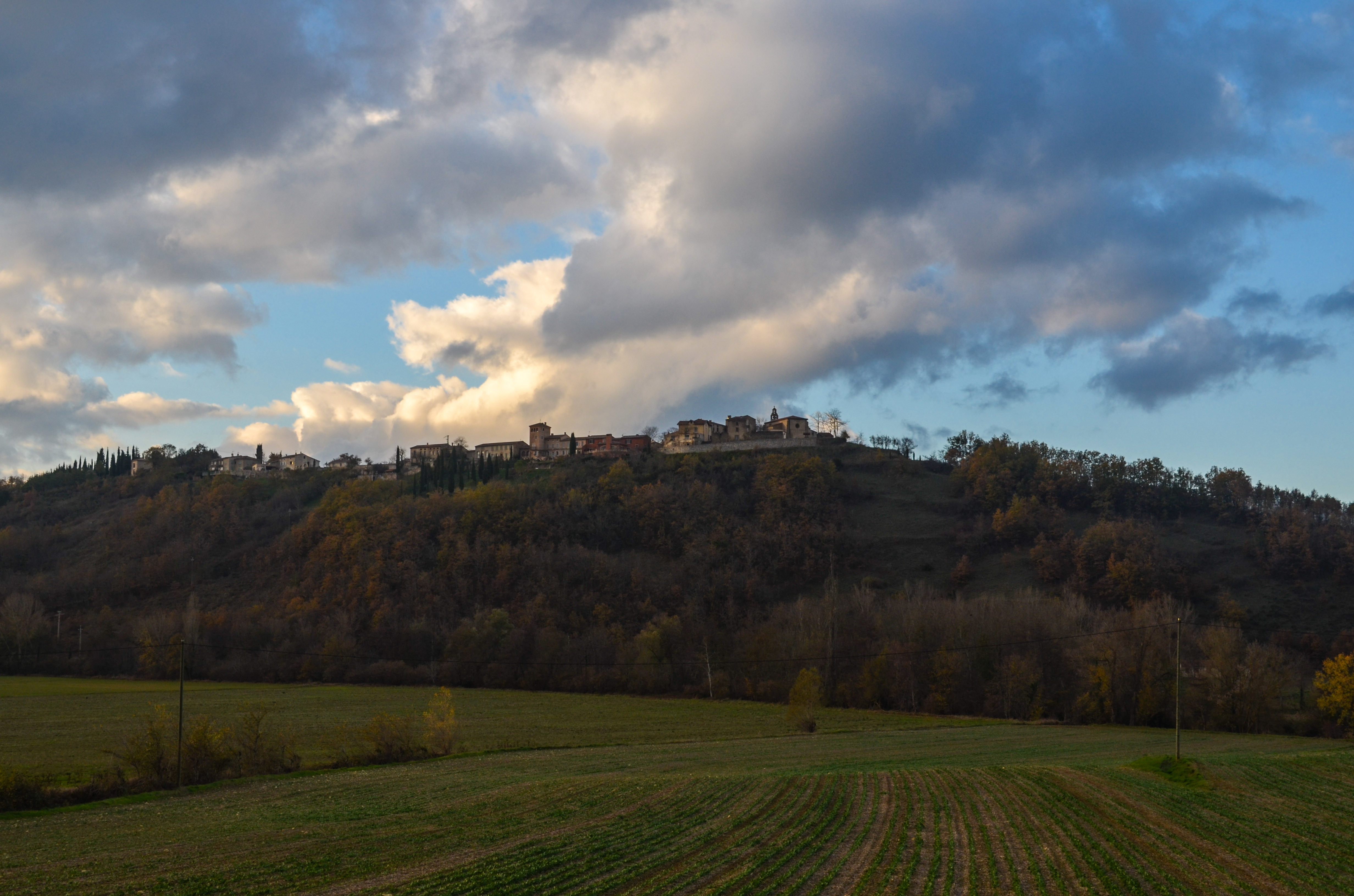
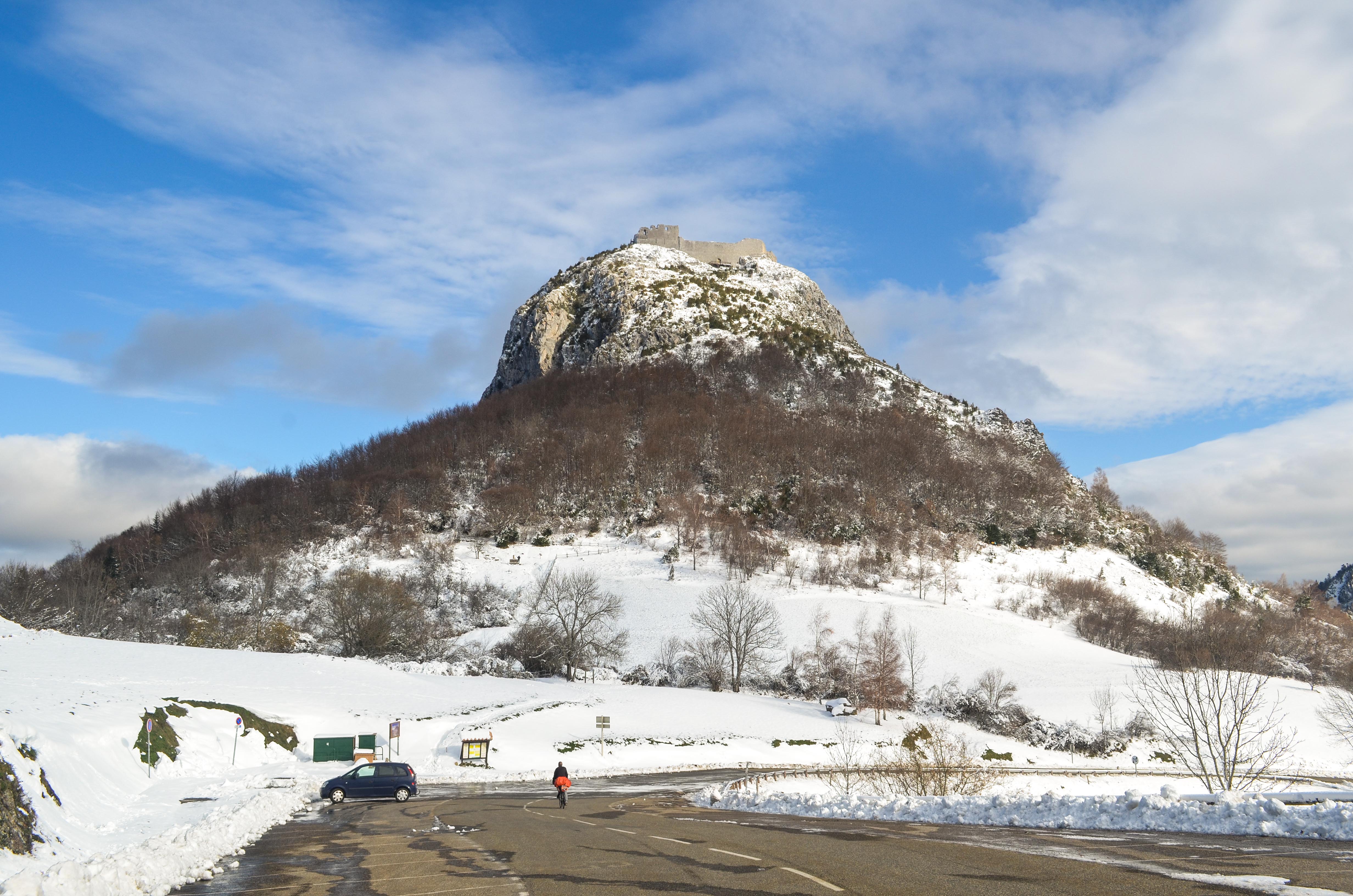
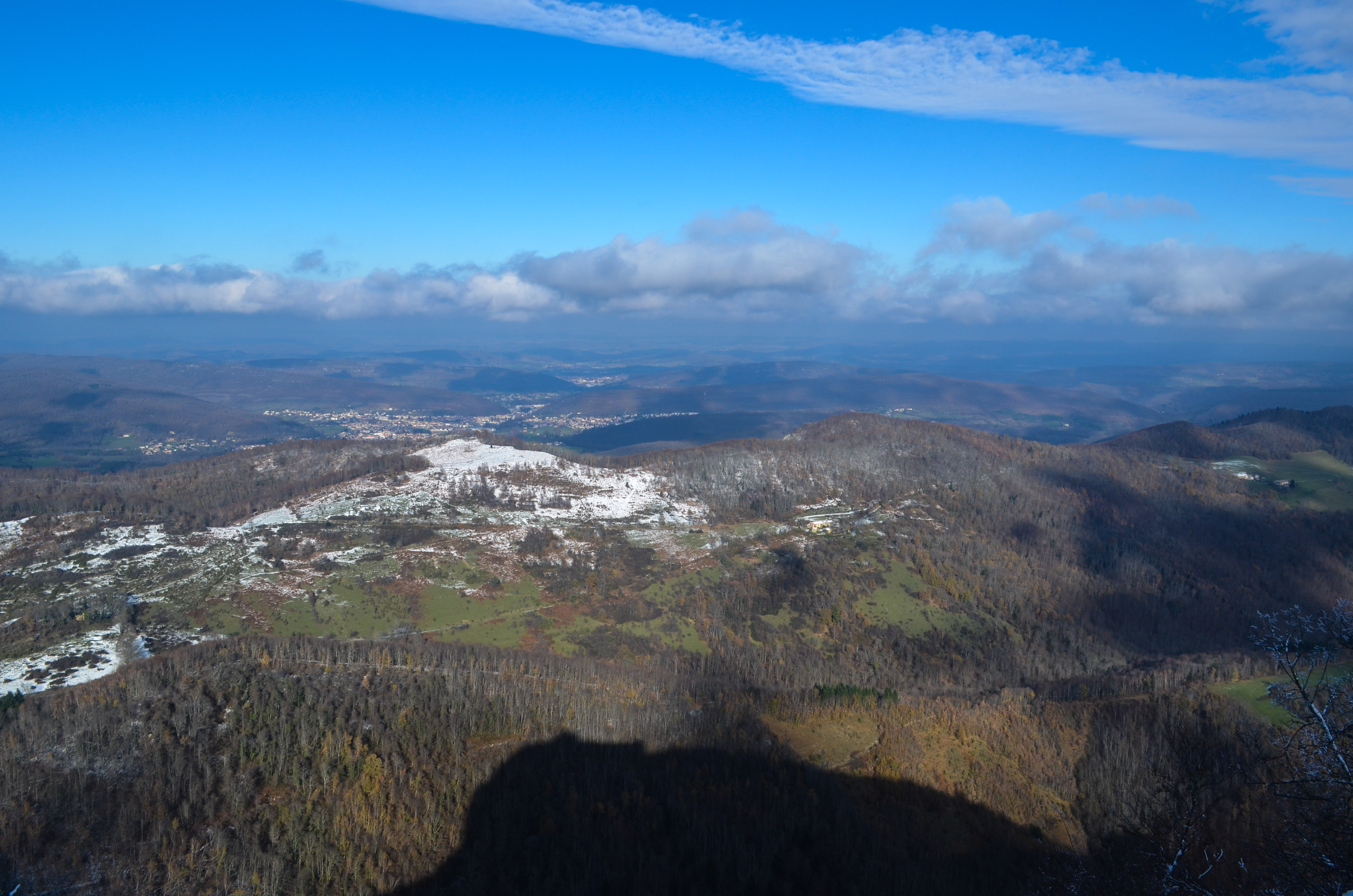
Sunshined and Snowcapped
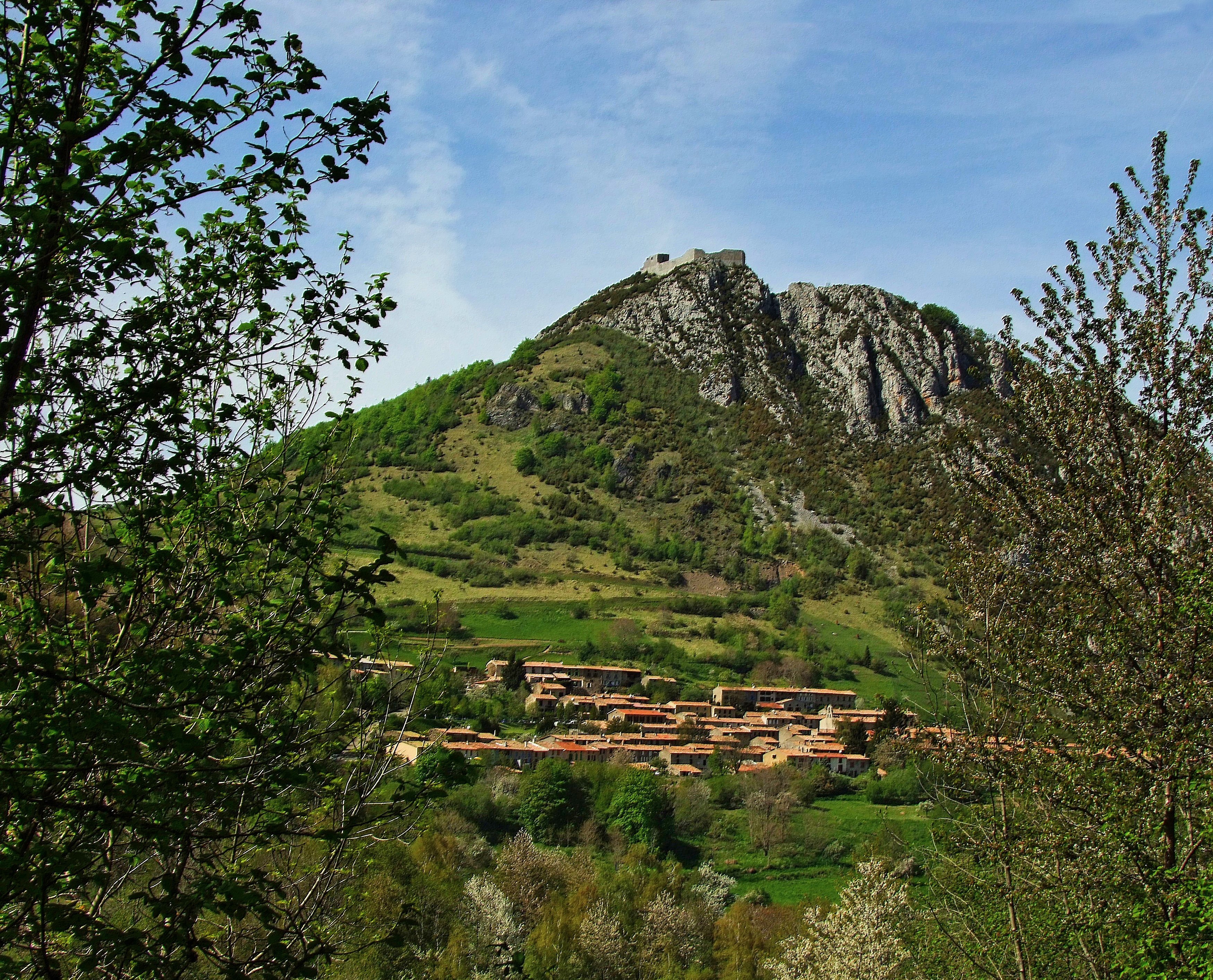
Pog de Montségur
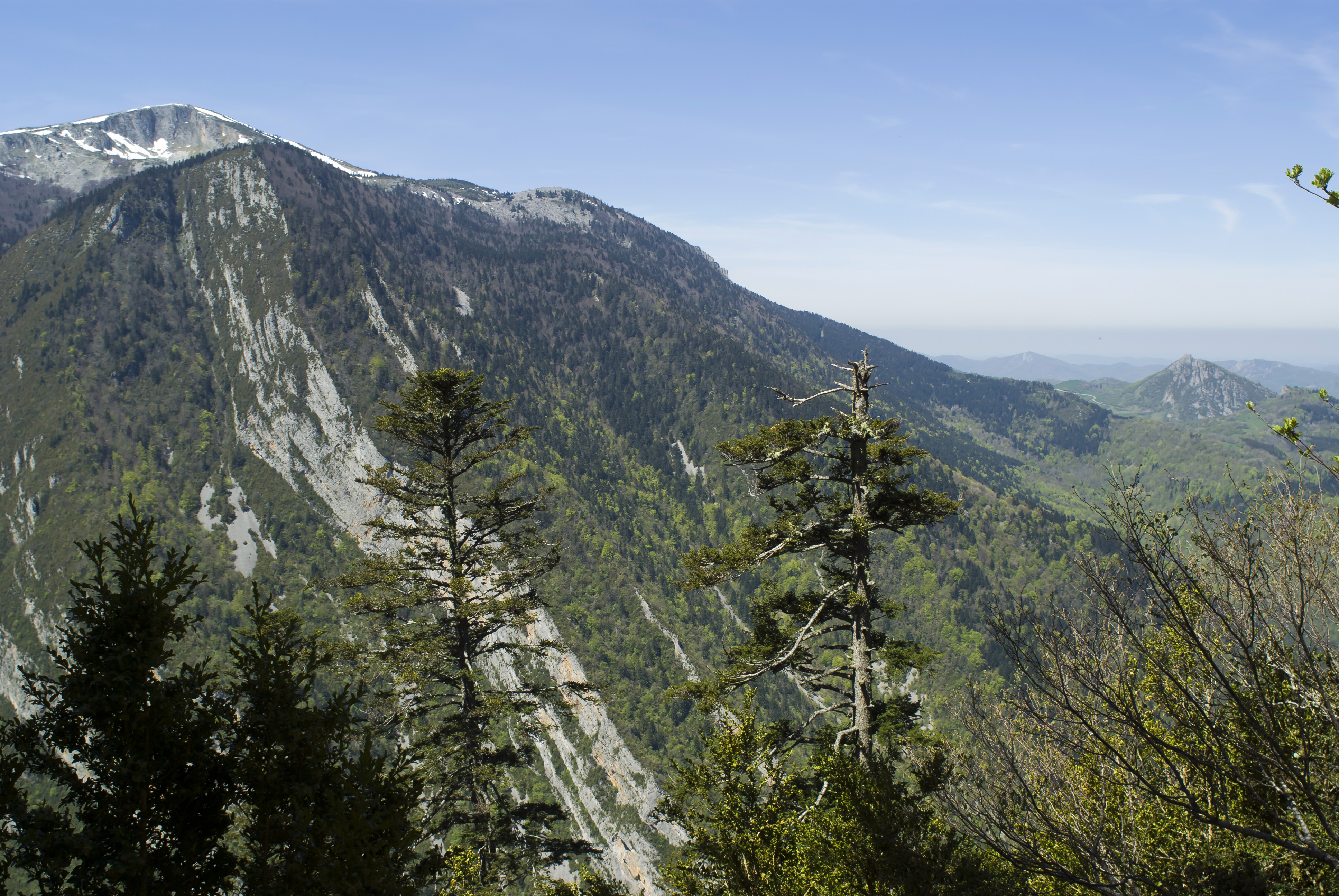
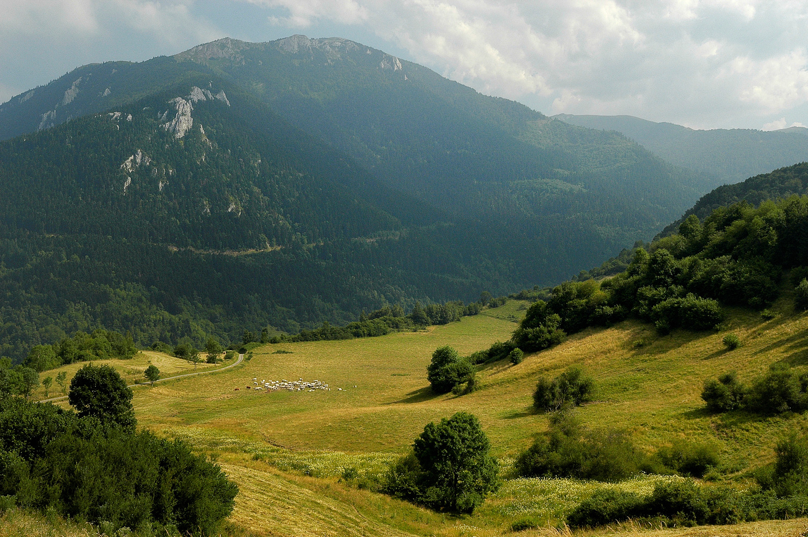
Montagne de la Frau
CHÂTEAU DE PUIVERT
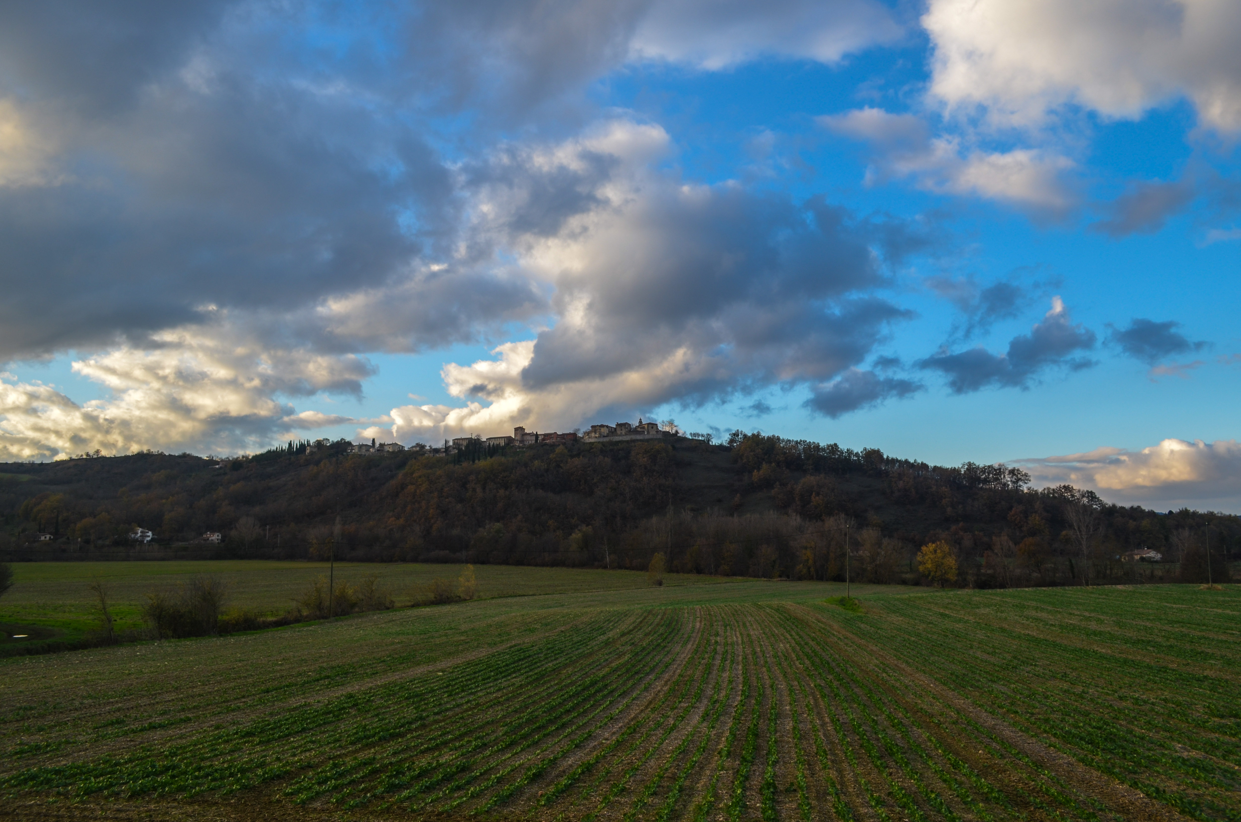
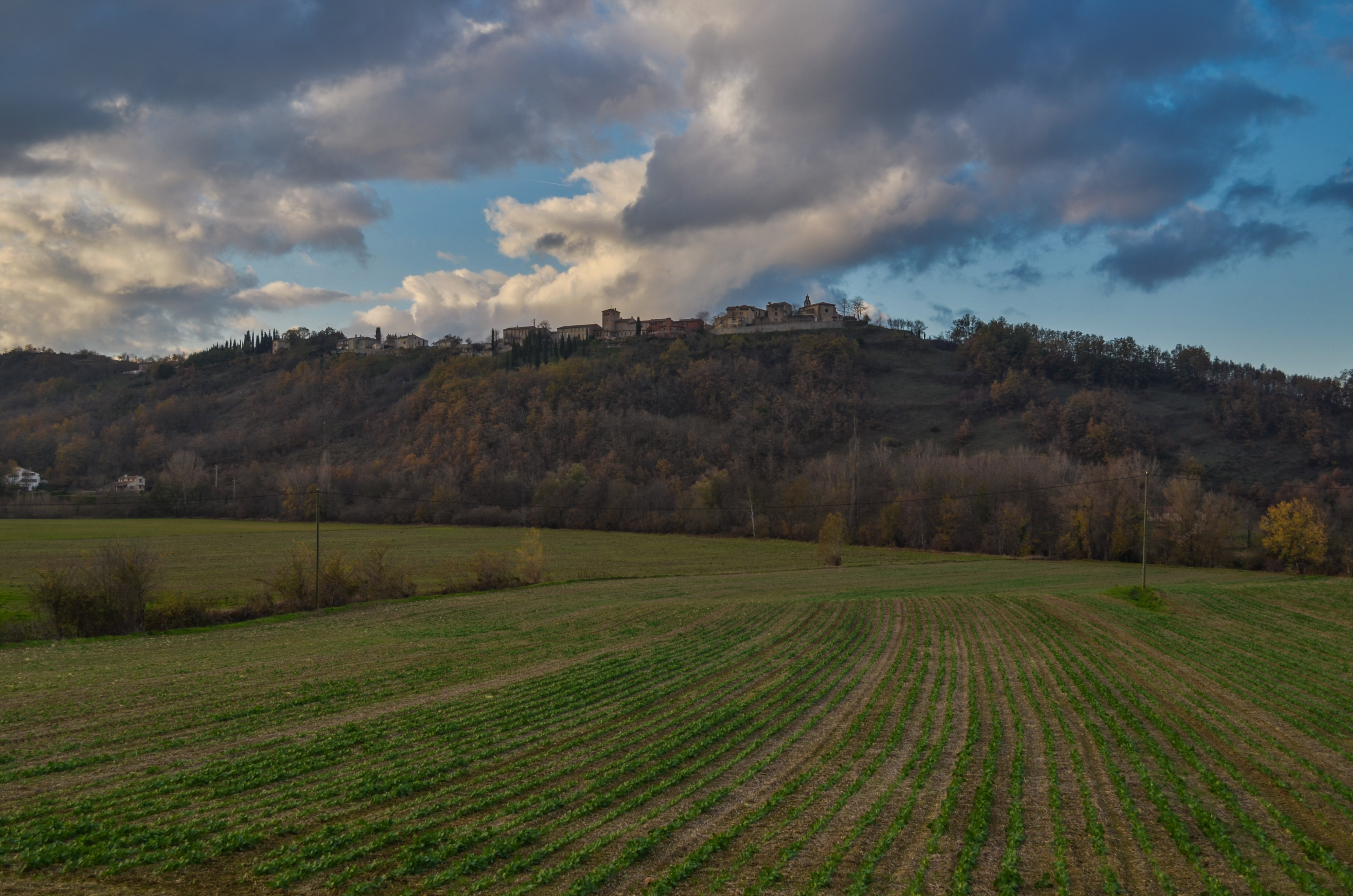
20121130-DSC_2439
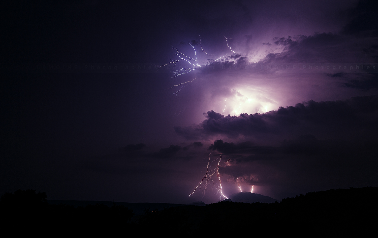
Pyrénées Orageux...

Château de Montségur, France
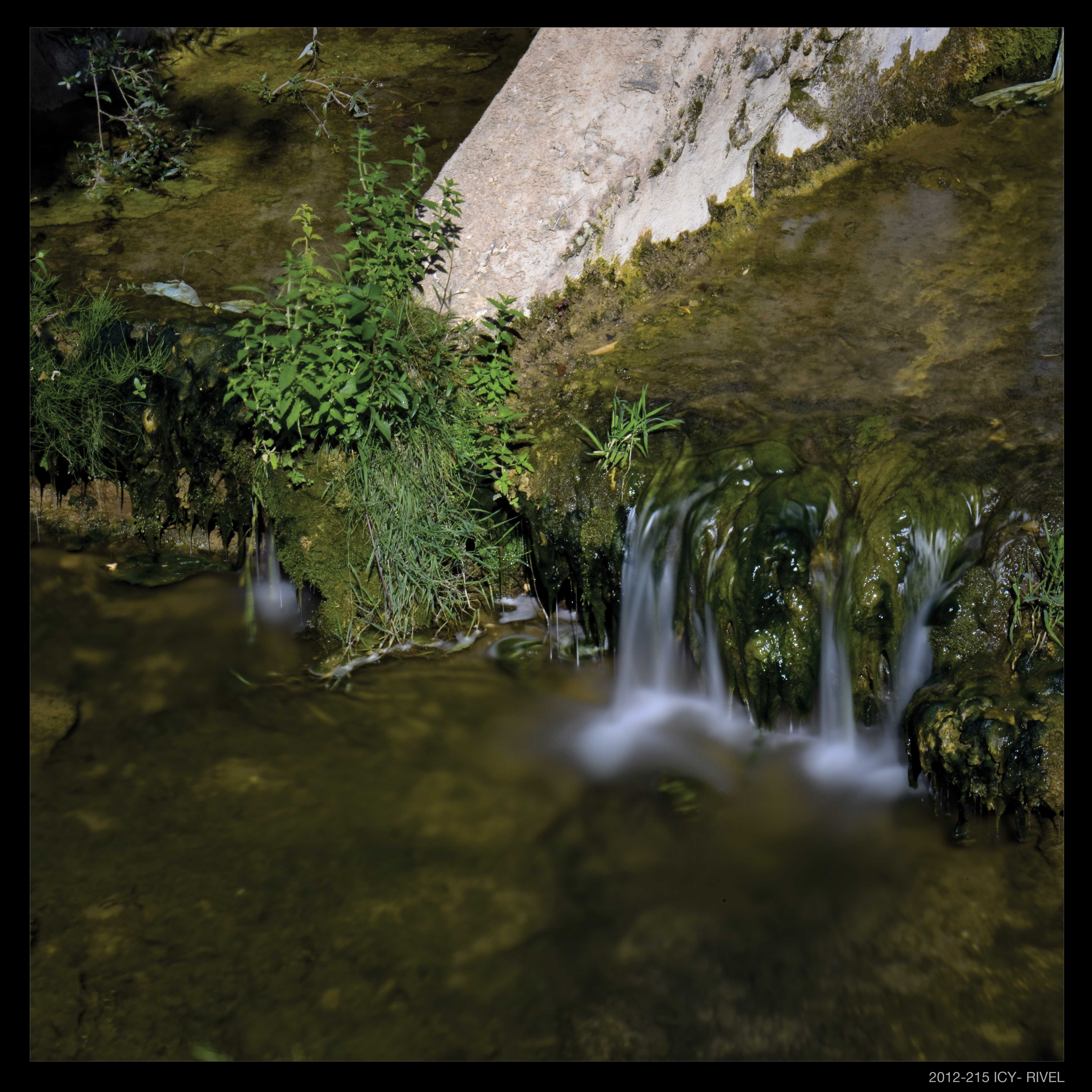
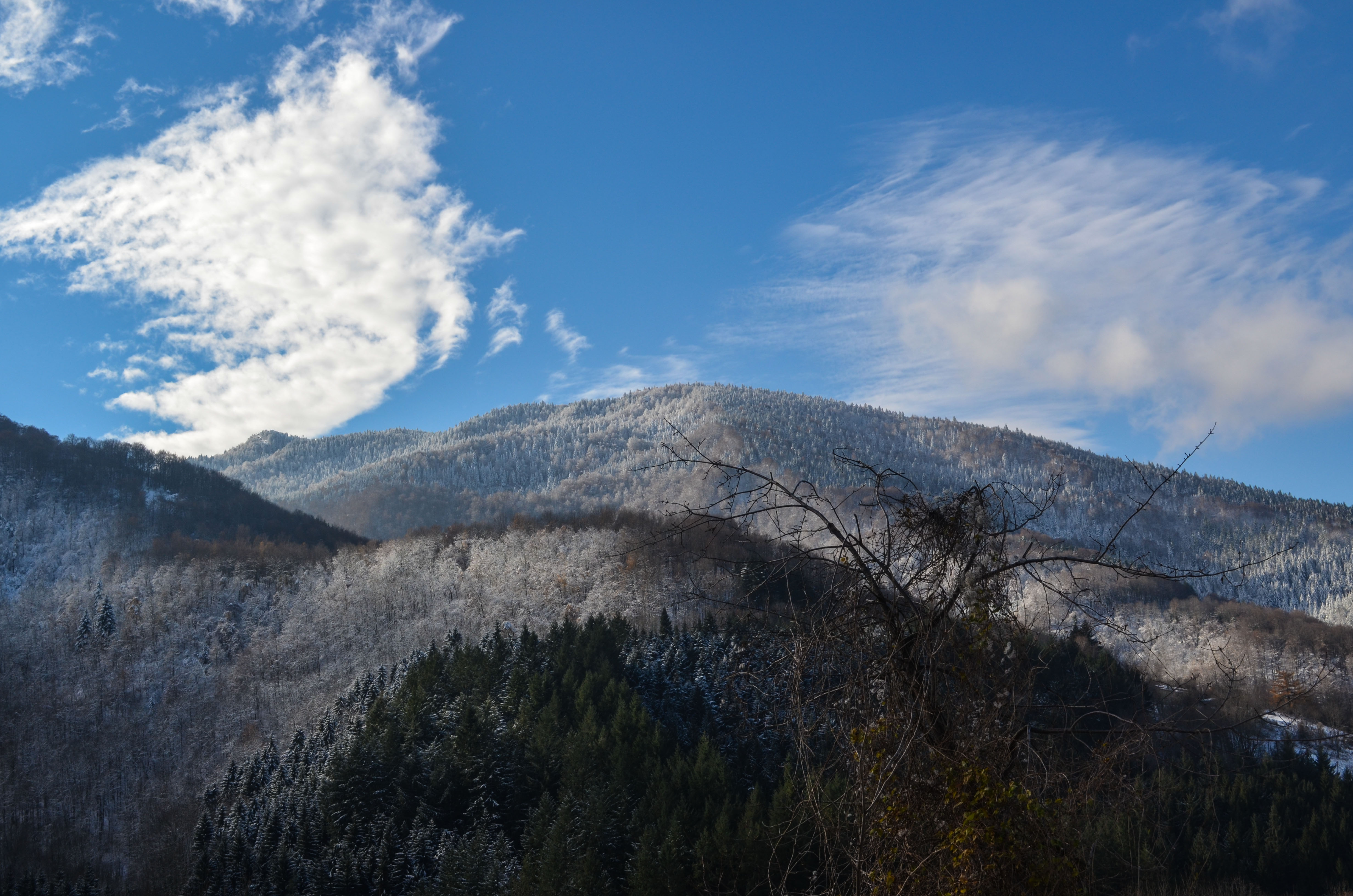
ICY (France)
20121130-DSC_2438
20121130-DSC_2440
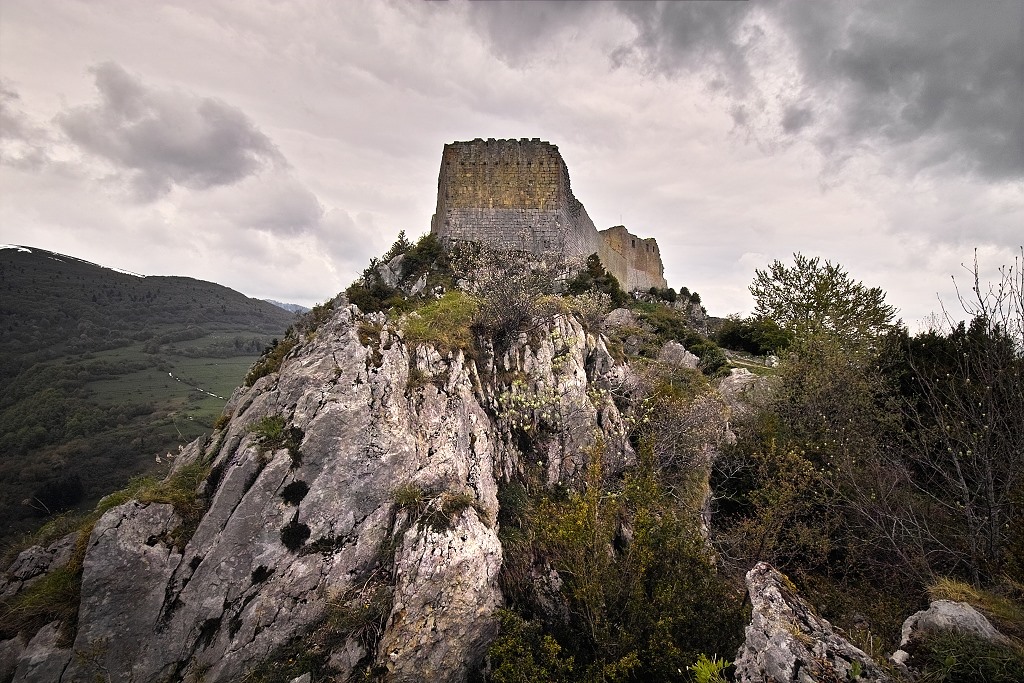
Château de Montségur

Silent lake
20121201-DSC_2535

montsegur pyrenees
Montségur
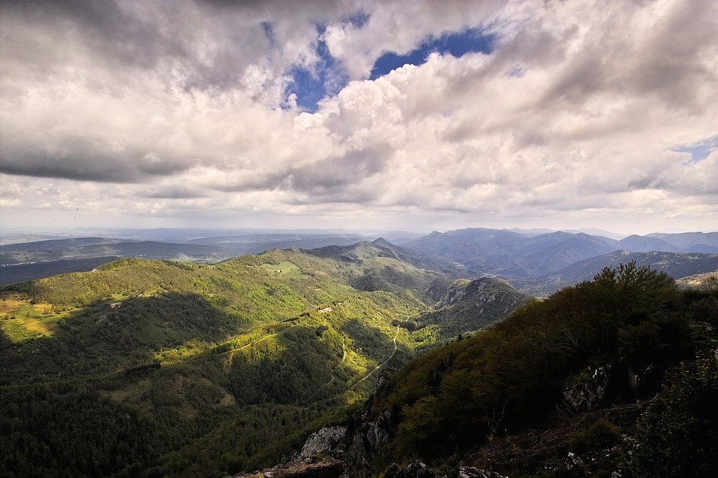
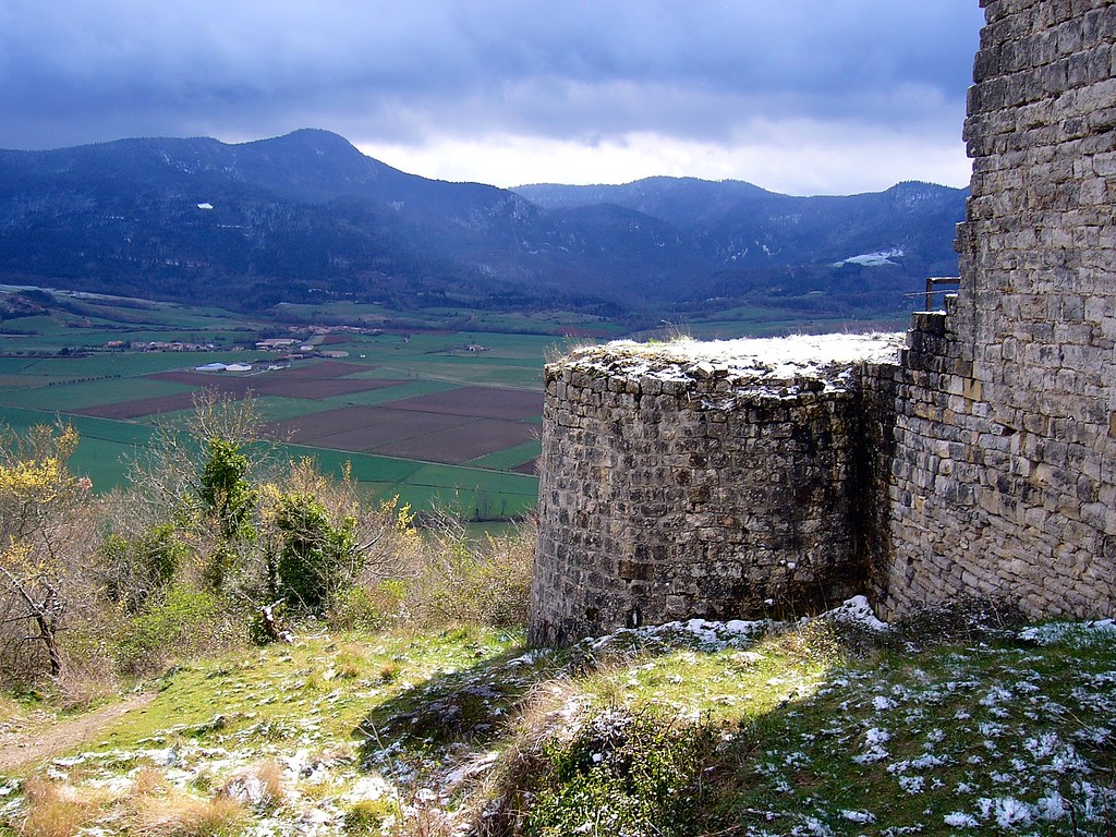
View from Château de Montségur
20121201-DSC_2563
20121201-DSC_2518
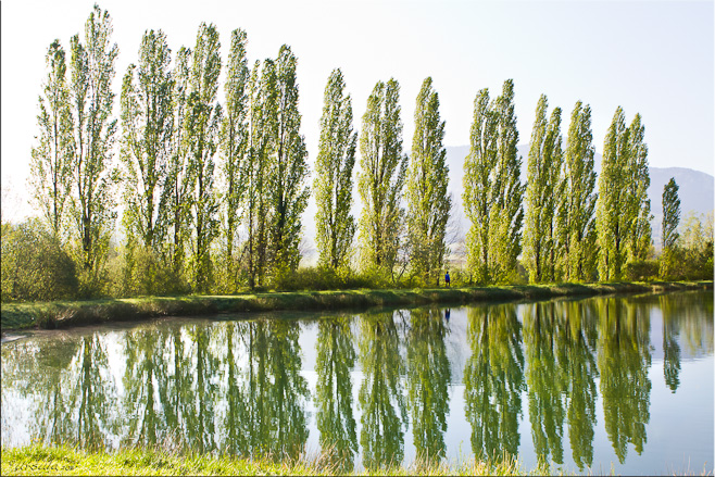
The Lake (7946)
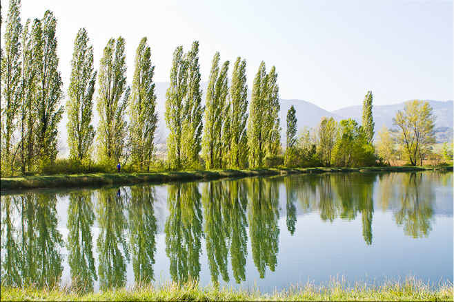
The Lake (7945)
Gorges de la Frau
Topographic Map of 33 Les Baylars(Hameau), Montbel, France
Find elevation by address:

Places near 33 Les Baylars(Hameau), Montbel, France:
Montbel
21 Rue Principale, Régat, France
Régat
5 Rue Principale Campeille, Puivert, France
Puivert
Peyrefitte-du-razès
Domaine De Couchet
Montségur
3 Rue de la Fontaine, Coudons, France
Coudons
Tourreilles
10 Rue du Fort, Tourreilles, France
Quillan
Lauraguel
Caussou
2 Avenue du Razès, Lauraguel, France
10 Chemin du Counq, Mijanès, France
Mijanès
Bestiac
1 Rue des Moulins, Pech-Luna, France
Recent Searches:
- Elevation of Lampiasi St, Sarasota, FL, USA
- Elevation of Elwyn Dr, Roanoke Rapids, NC, USA
- Elevation of Congressional Dr, Stevensville, MD, USA
- Elevation of Bellview Rd, McLean, VA, USA
- Elevation of Stage Island Rd, Chatham, MA, USA
- Elevation of Shibuya Scramble Crossing, 21 Udagawacho, Shibuya City, Tokyo -, Japan
- Elevation of Jadagoniai, Kaunas District Municipality, Lithuania
- Elevation of Pagonija rock, Kranto 7-oji g. 8"N, Kaunas, Lithuania
- Elevation of Co Rd 87, Jamestown, CO, USA
- Elevation of Tenjo, Cundinamarca, Colombia