Elevation of 33 E Main St, Walnut Bottom, PA, USA
Location: United States > Pennsylvania > Cumberland County > Walnut Bottom >
Longitude: -77.403056
Latitude: 40.089642
Elevation: 220m / 722feet
Barometric Pressure: 99KPa
Elevation Map:
Satellite Map:
Related Photos:

:) :)

Banded Wooly Bear Caterpillar Head

Rural Cumberland County, PA (Upper Frankford Township)

Prairie Falcon…in Pennsylvania!!!
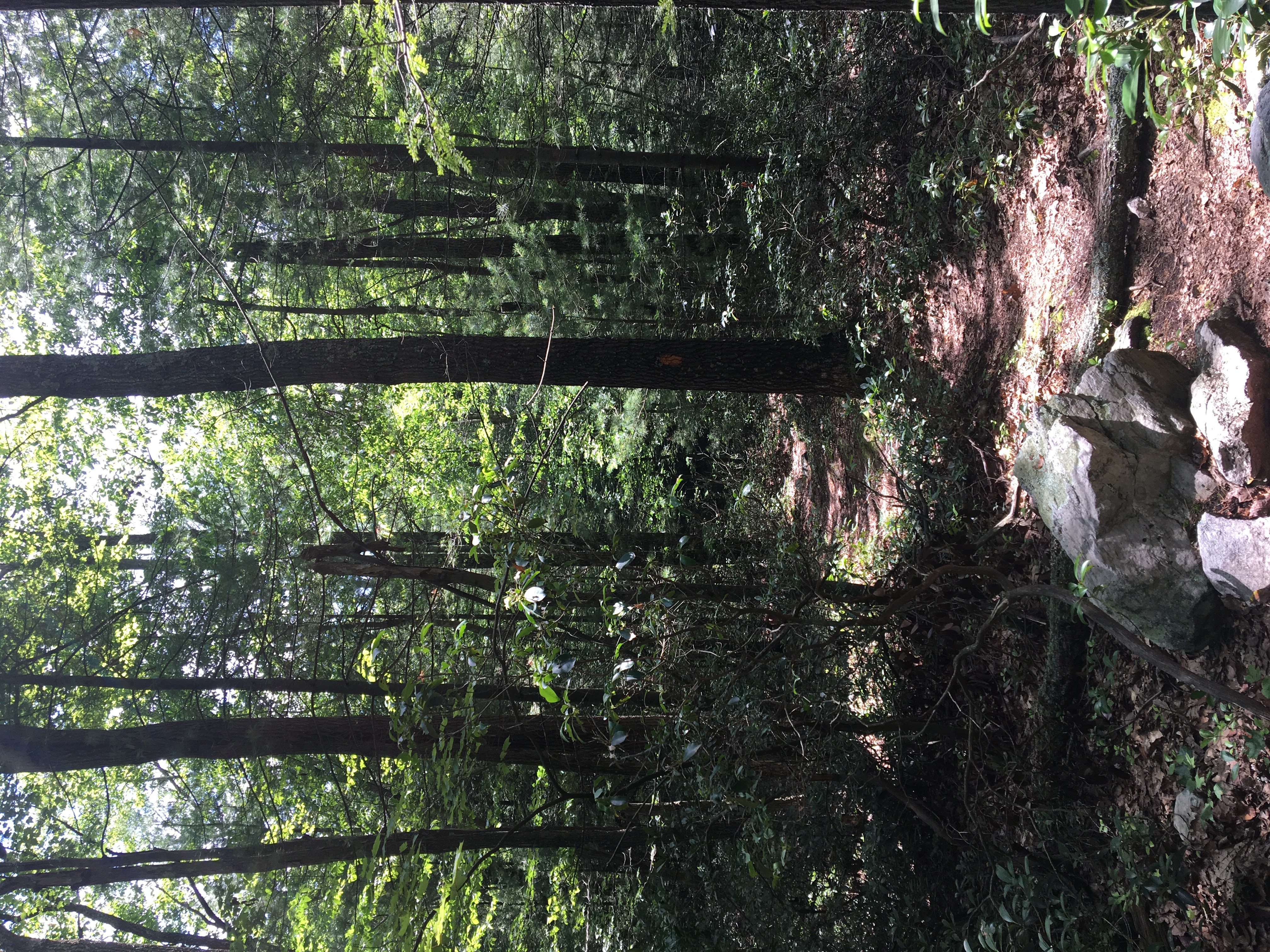
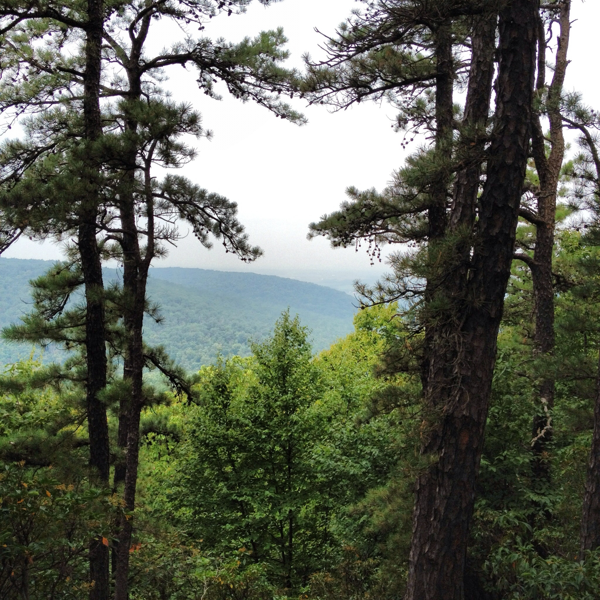
Lower Spur Birch Run View at Knobs Trail Loop(b)
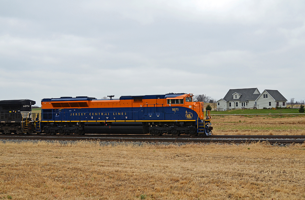
CNJ SD70ACe-1071 W/B 227 at Lees Cross Roads, PA
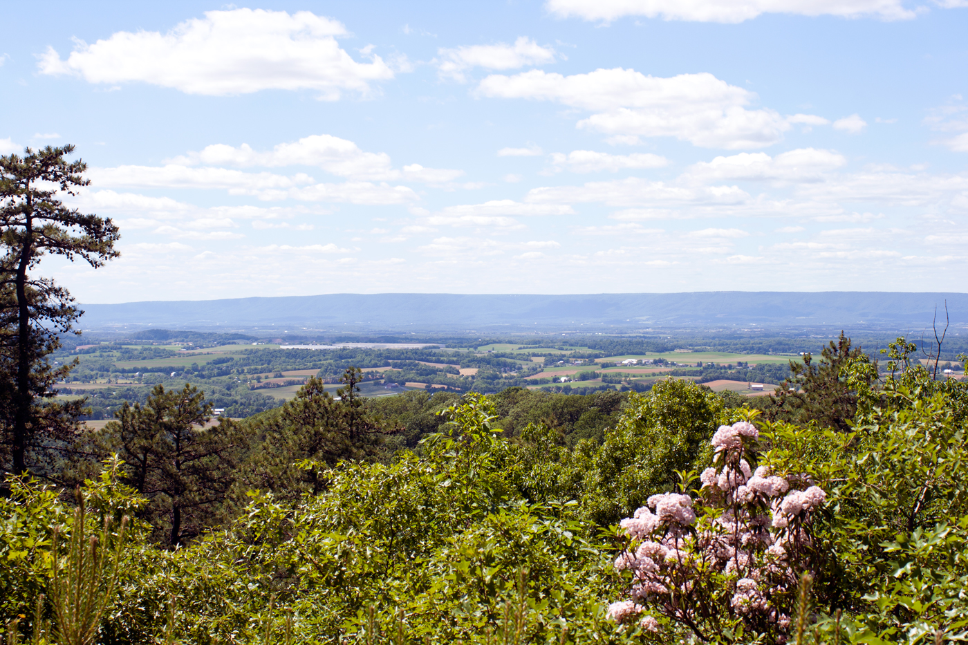
The Cumberland Valley stretches across to Blue Mountain from the back porch of the mansion at Kings Gap Environmental Education Center, Pennsylvania.
Steeple Chase
Kings gap view
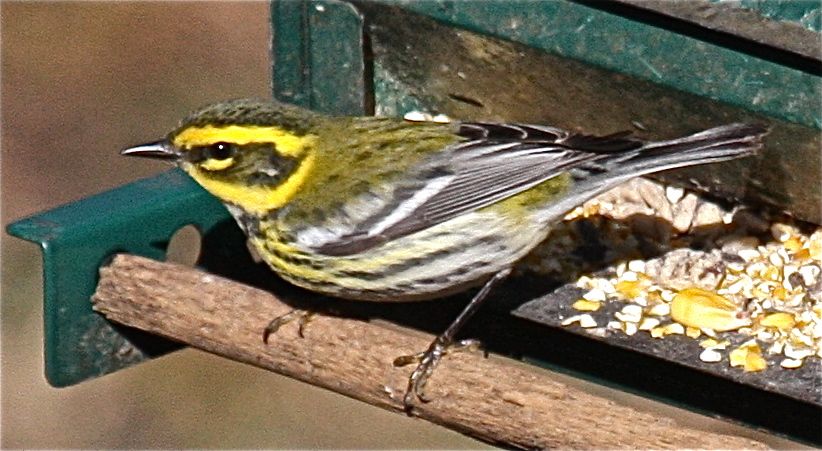
Townsend's Warbler in Pennsylvania…very rare in the eastern U.S.!
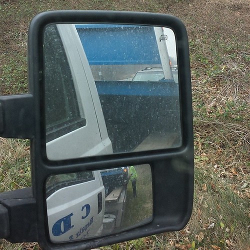
View from th we towtruck #badday

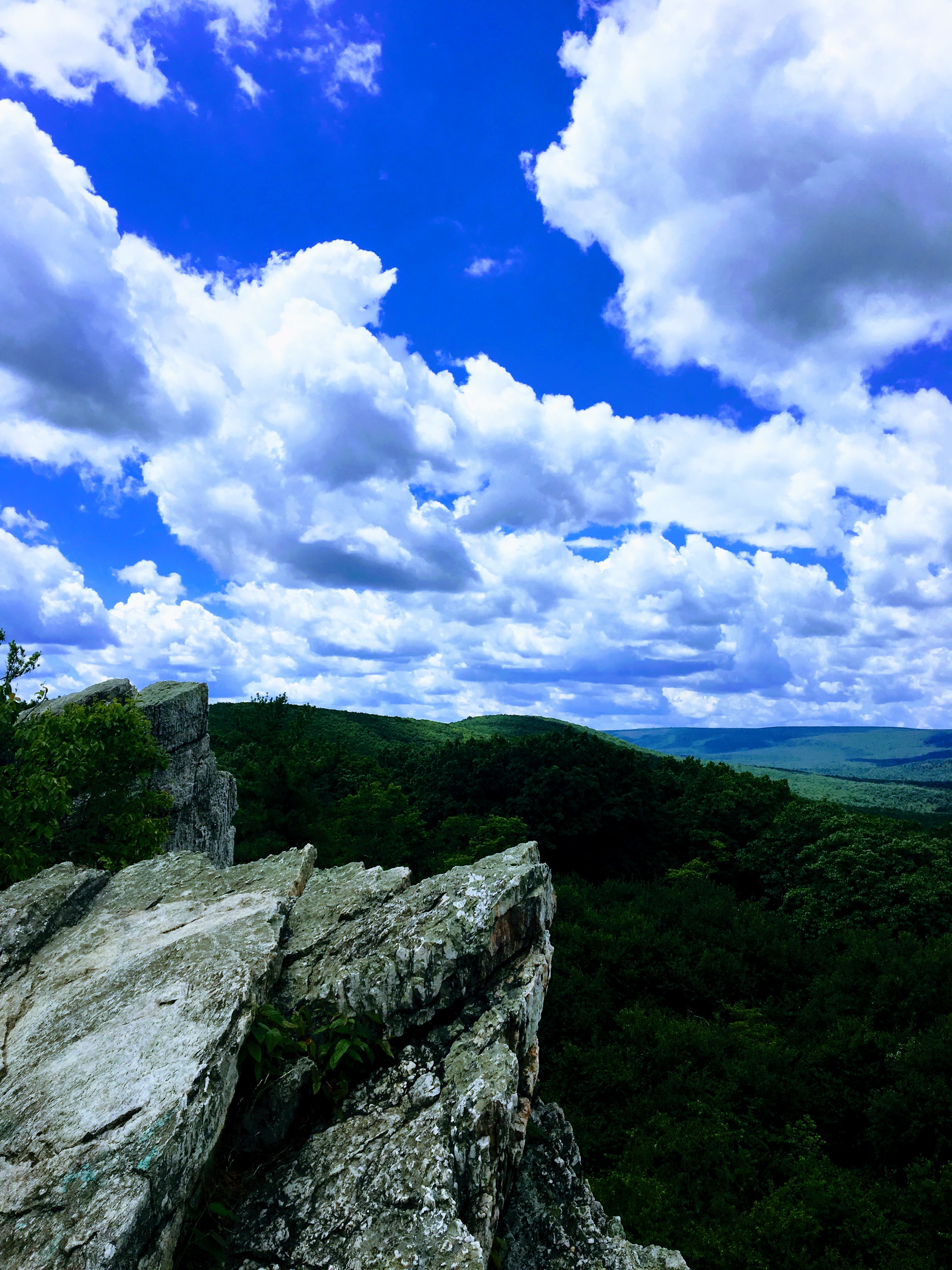
View from Pole Steeple on New Years Day 2013

Loggerhead Shrike (Lanius ludovicianus)

Thursday, best day, #DaddyDaughterDay!!!... and it was an extra special one! She first helped me pick out a pot for daddy's first tomato plant, followed by her first trip to the woods and #PoleSteeple to commune with #MotherNature, take in the views, and
DSCN3198 10 Jct AT (paved) with paved path to gigantic parking lot and lake view
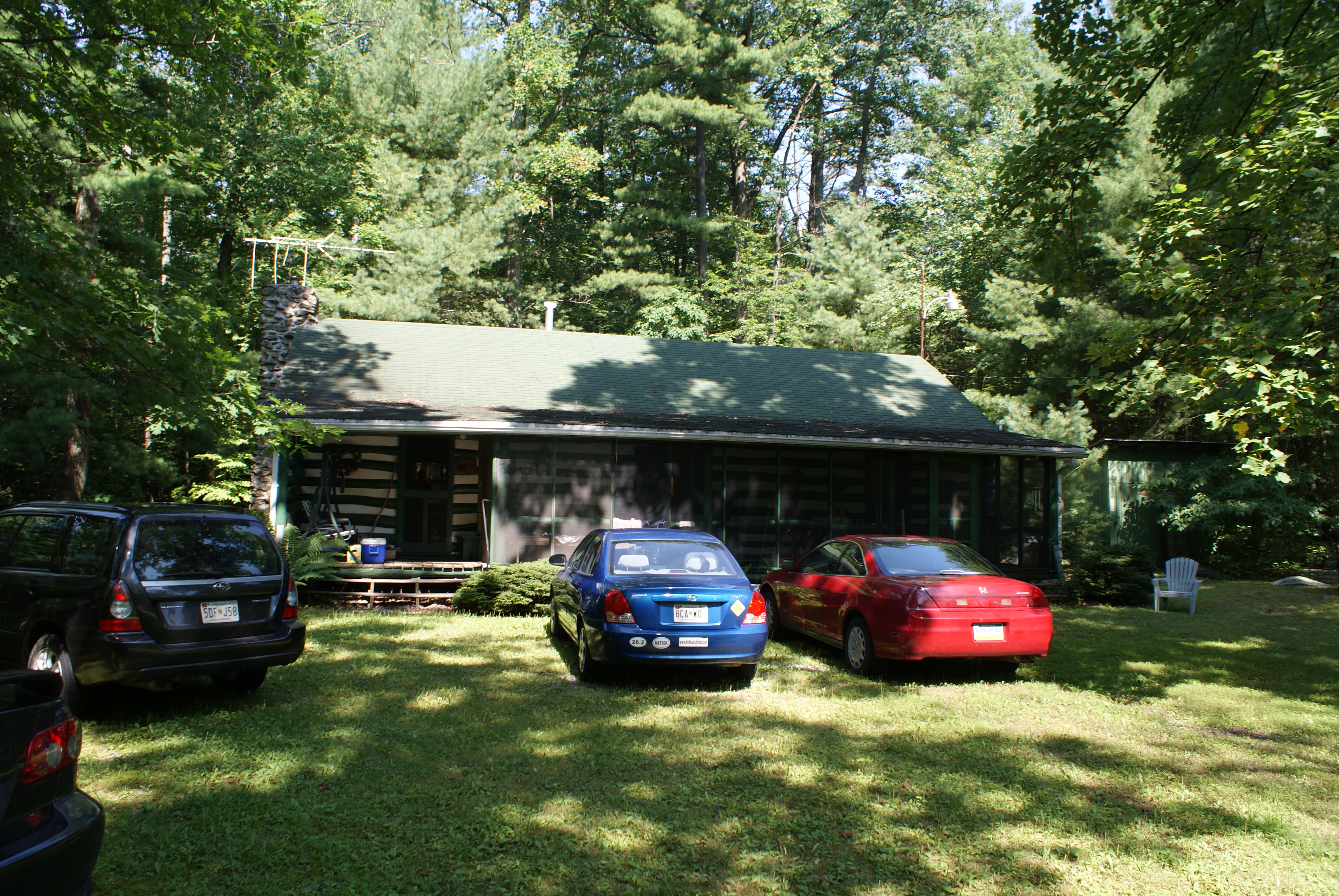
Cabin View
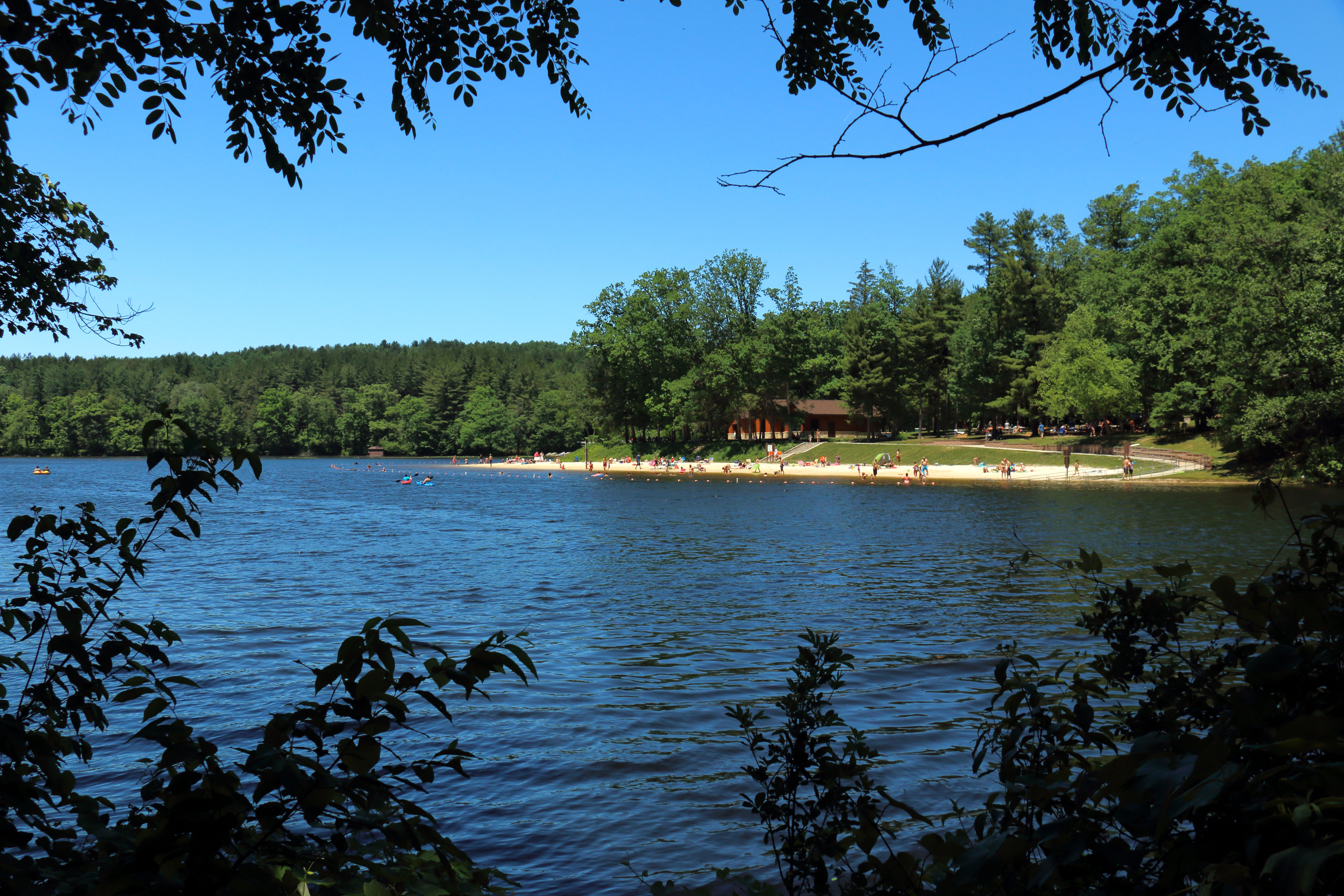
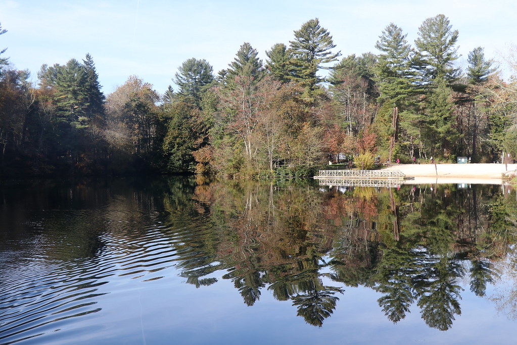
Tree branches frame a view of the beach and Laurel Lake at Pine Grove Furnace State Park, Pennsylvania
Lower Spur Birch Run View at Knobs Trail Loop

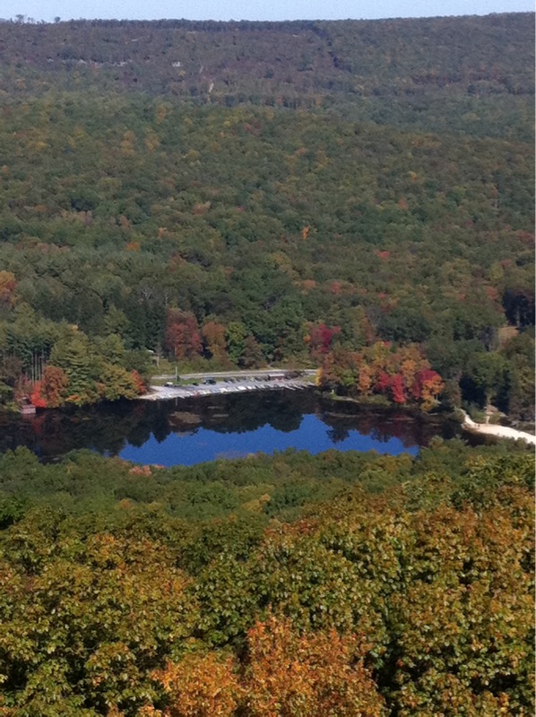
Laurel Lake is surrounded by forest in this view from Pole Steeple Overlook, Pine Grove Furnace State Park, Pennsylvania
Hill View

Thursday, best day, #DaddyDaughterDay!!!... and it was an extra special one! She first helped me pick out a pot for daddy's first tomato plant, followed by her first trip to the woods and #PoleSteeple to commune with #MotherNature, take in the views, and
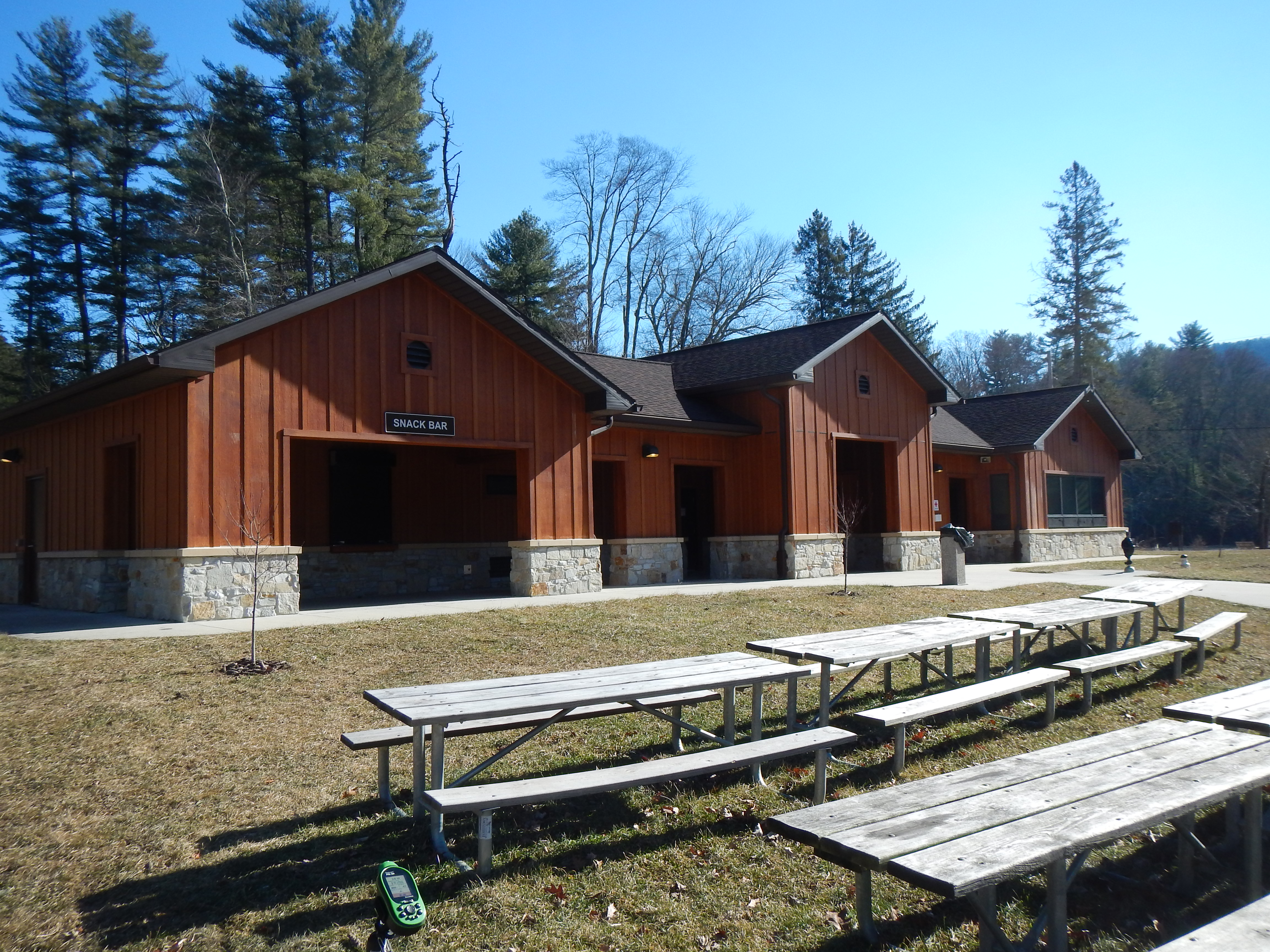
Pine Grove Furnace State Park - Fuller Lake
Pine Grove Furnace State Park is located within Michaux State Forest in Cumberland County, PA. In the park you will find the remains of an old iron forge, a beach area at Fuller Lake, and many trails. The AT runs through this park.
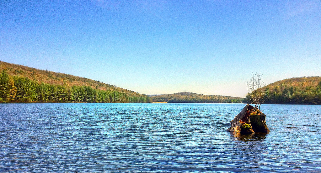
Long Pine Run Reservoir
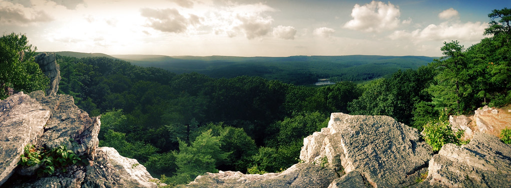
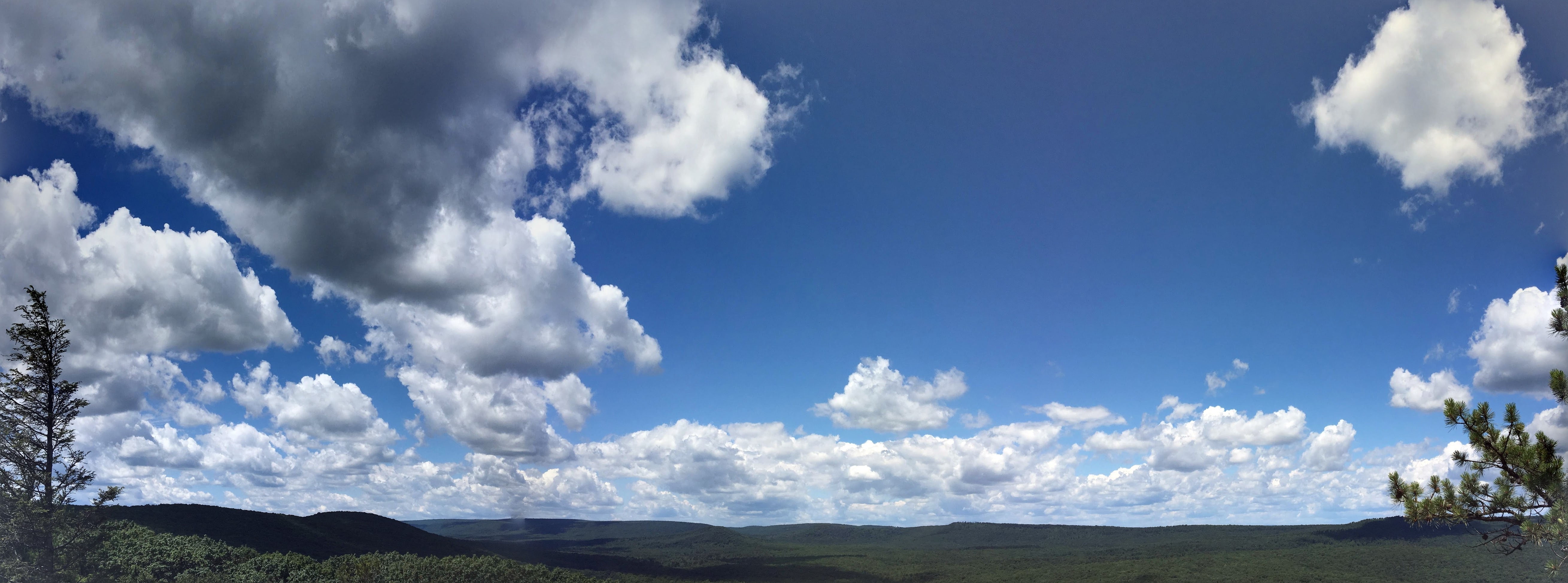
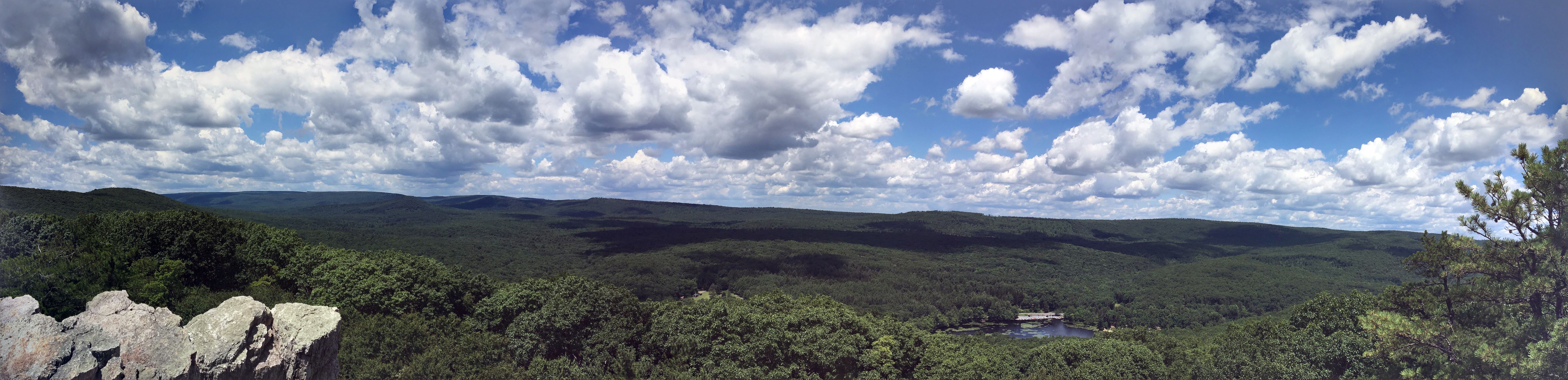
Pole Steeple Panorama Summer

Signs of Fall

IMG_2488-PANO
Pole Steeple Vista
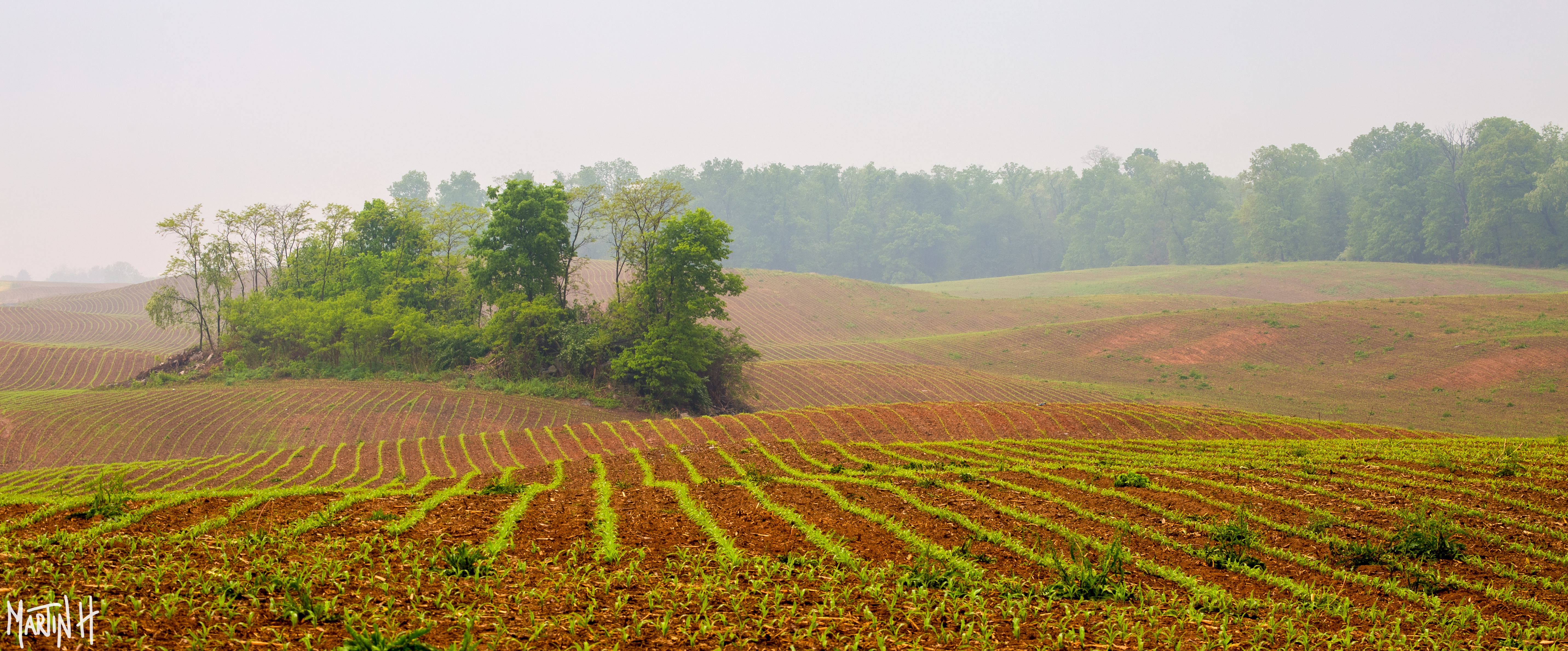
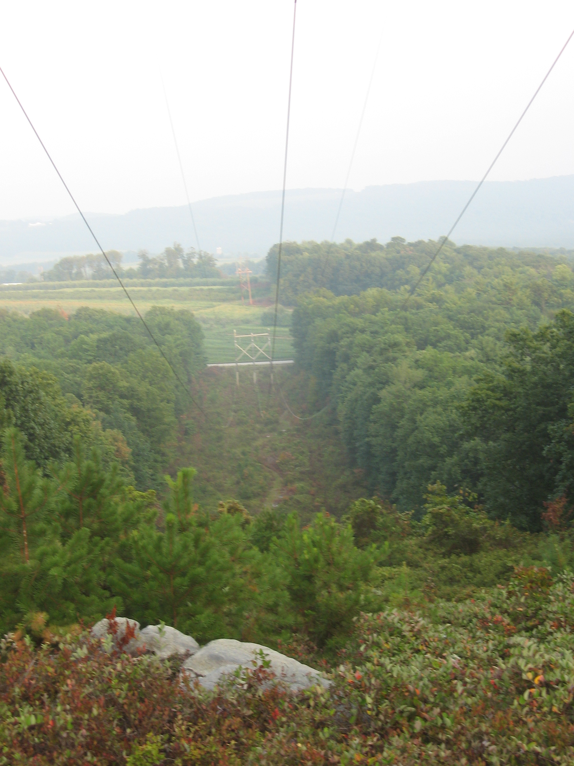
Lines in a corn field
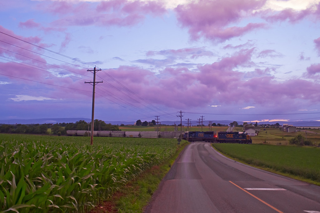
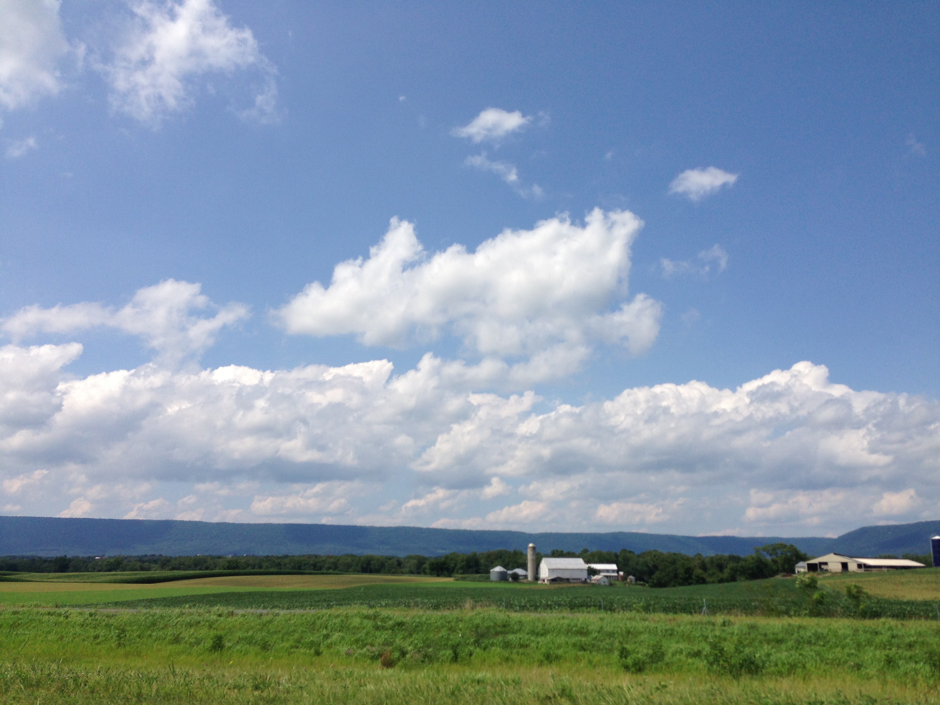
Twlight on the Lurgan
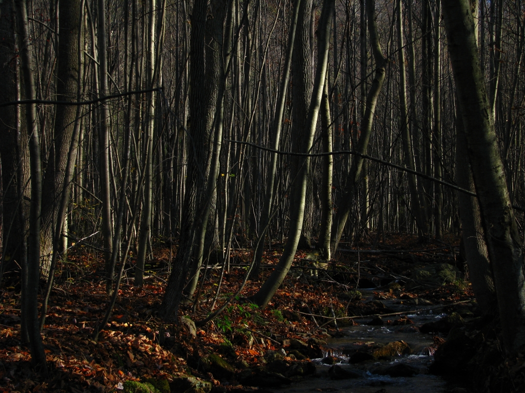
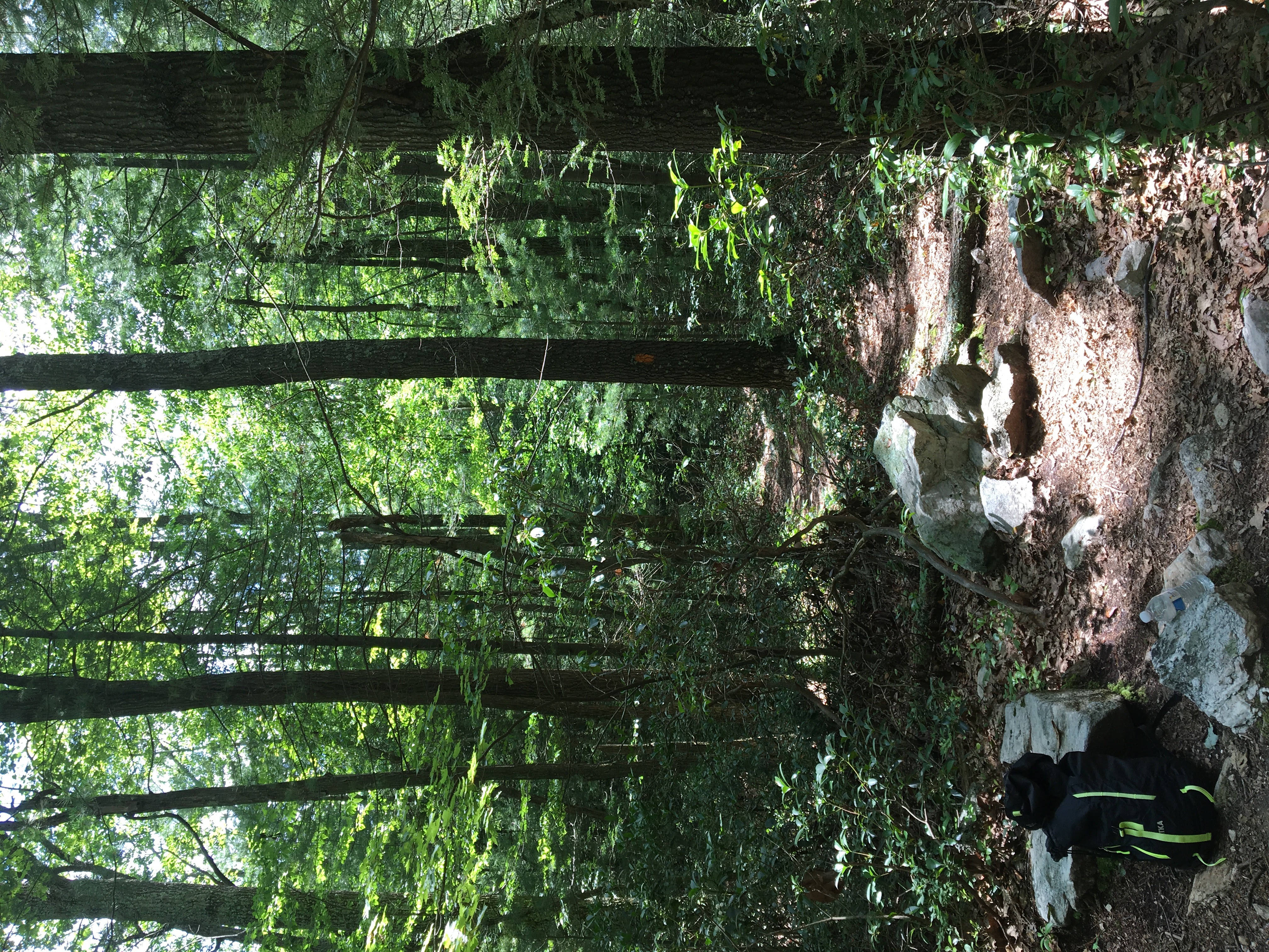
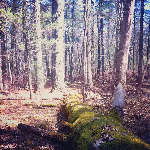
Hidden Stream
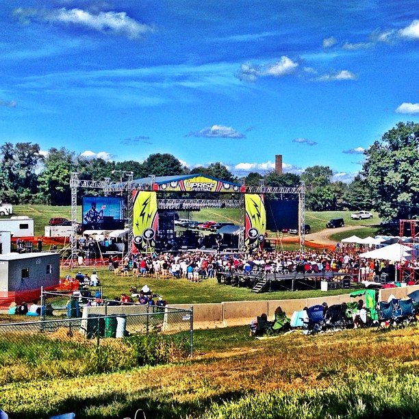
#uprise @uprisefest rocking to @disciplerocks
Shippensburg, Pa
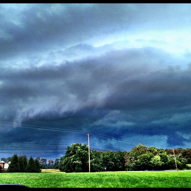
Stormy skies ahead
Foreign Visitors
IMG_2510-EFFECTS

CVRT_2012 10 21_0856
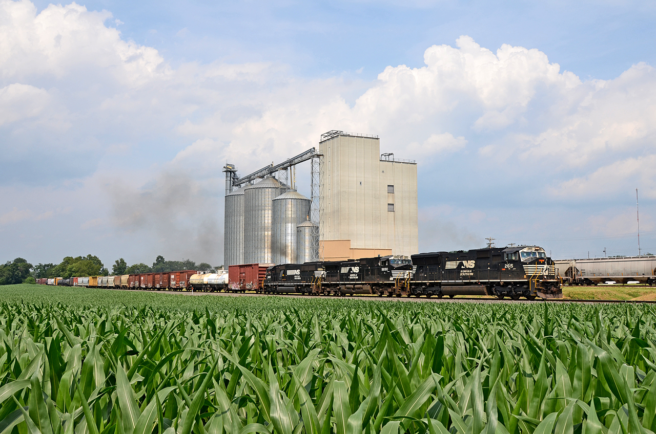
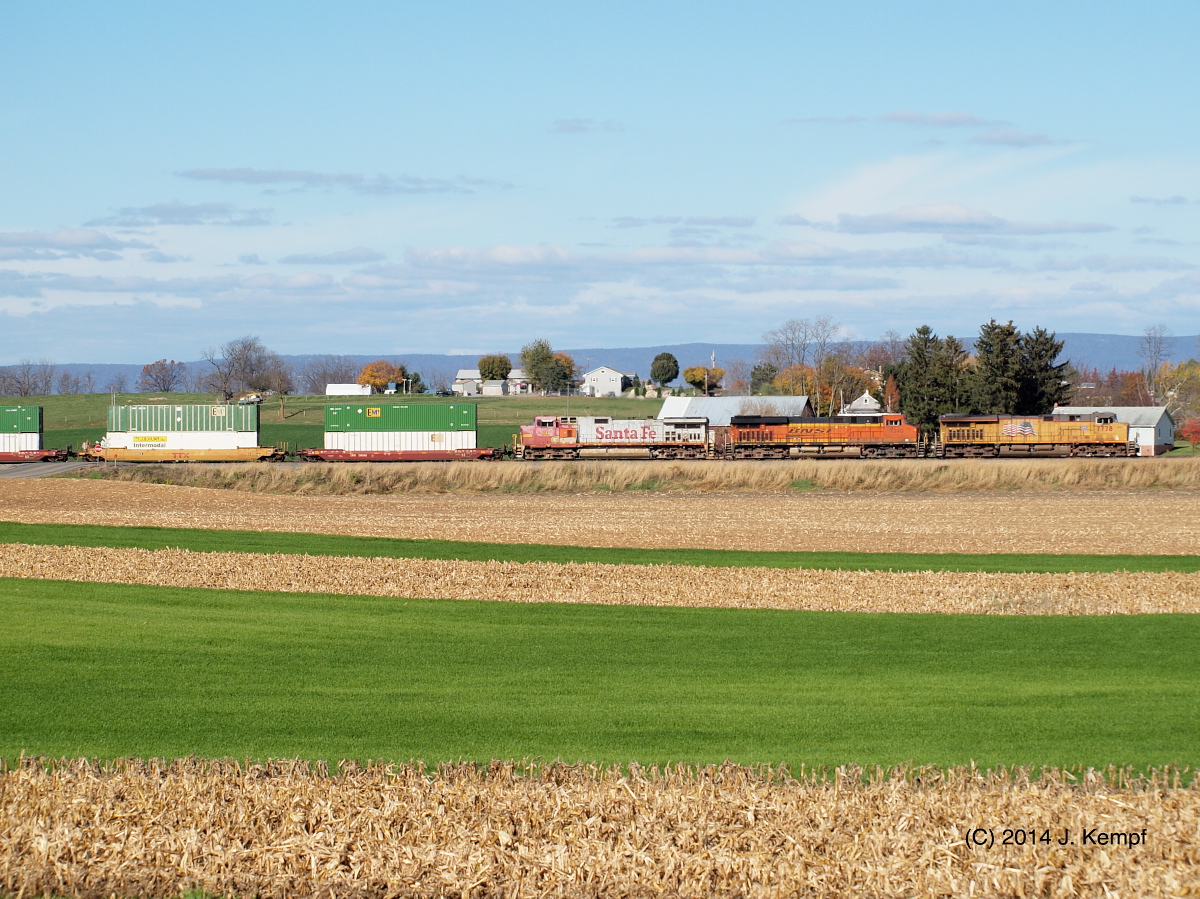
NS SD70M-2615, C40-9W-9890, SD60-6699 S/B 11R at Shippensburg, PA
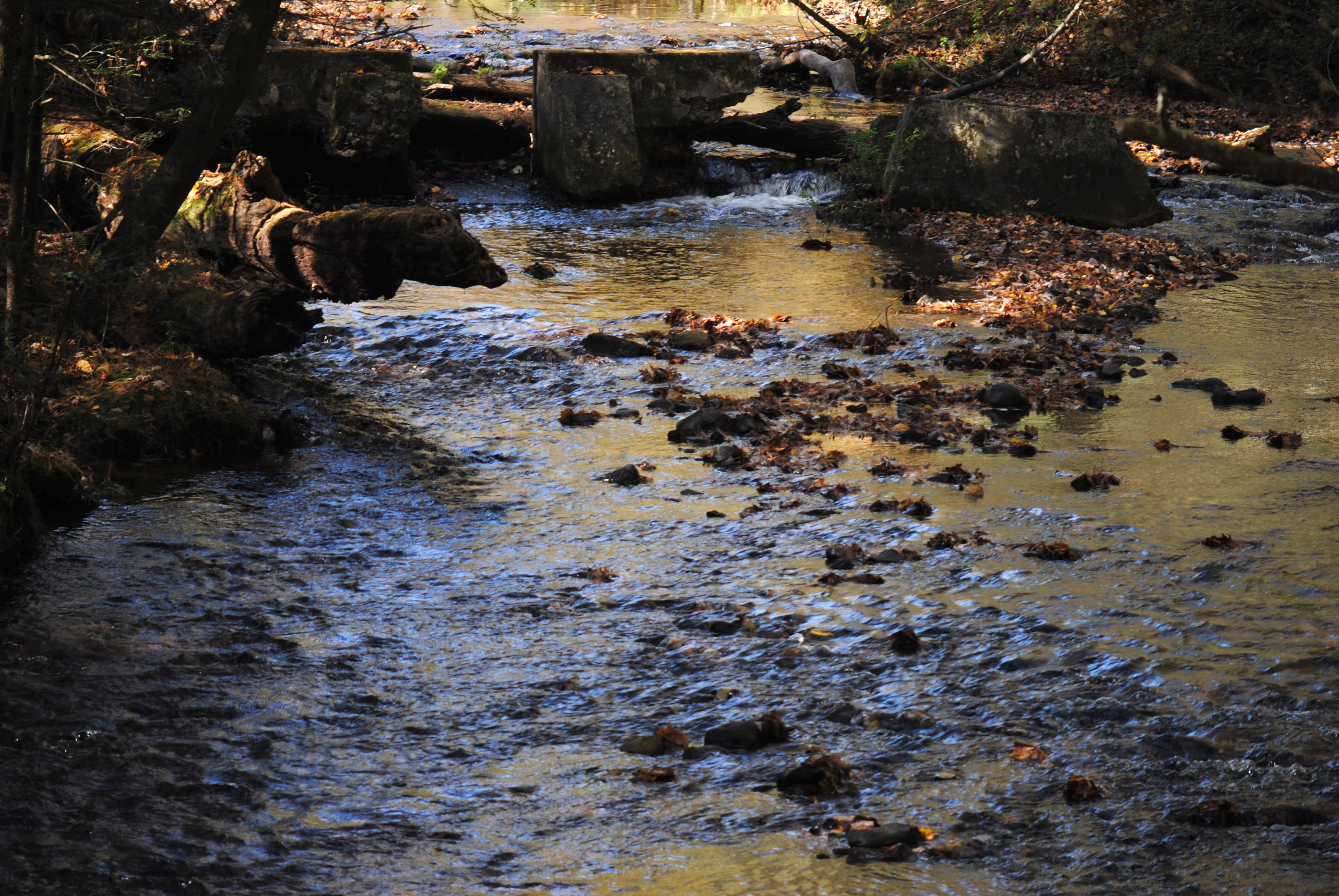
River Ruins
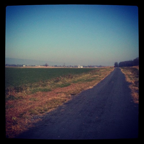
Great day for a walk on the Cumberland Valley Rail Trail
Pole Steeple Visa (c)
Grand Pennyslvania
Topographic Map of 33 E Main St, Walnut Bottom, PA, USA
Find elevation by address:

Places near 33 E Main St, Walnut Bottom, PA, USA:
Walnut Bottom
North Newton Township
Penn Township
472 Newville Rd
472 Newville Rd
15 Railroad Ave
Newville
Greenspring Rd, Newville, PA, USA
12 Wildwood Ln
199 Booz Rd
25 Forest Ln
Upper Frankford Township
Newburg
Mowersville Rd, Shippensburg, PA, USA
Newburg Rd, Newburg, PA, USA
Lurgan Township
Roxbury
Blue Mountain
Horse Valley
Recent Searches:
- Elevation of Elwyn Dr, Roanoke Rapids, NC, USA
- Elevation of Congressional Dr, Stevensville, MD, USA
- Elevation of Bellview Rd, McLean, VA, USA
- Elevation of Stage Island Rd, Chatham, MA, USA
- Elevation of Shibuya Scramble Crossing, 21 Udagawacho, Shibuya City, Tokyo -, Japan
- Elevation of Jadagoniai, Kaunas District Municipality, Lithuania
- Elevation of Pagonija rock, Kranto 7-oji g. 8"N, Kaunas, Lithuania
- Elevation of Co Rd 87, Jamestown, CO, USA
- Elevation of Tenjo, Cundinamarca, Colombia
- Elevation of Côte-des-Neiges, Montreal, QC H4A 3J6, Canada