Elevation of 31 Worcester Rd, Charlton, MA, USA
Location: United States > Massachusetts > Worcester County > Charlton > Charlton City >
Longitude: -71.988615
Latitude: 42.1455203
Elevation: 216m / 709feet
Barometric Pressure: 99KPa
Elevation Map:
Satellite Map:
Related Photos:
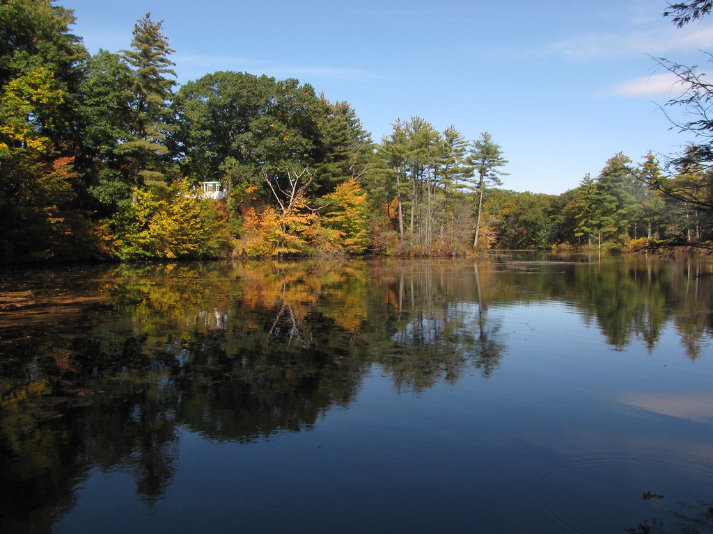
Quinebaug River

1 Year On Flickr

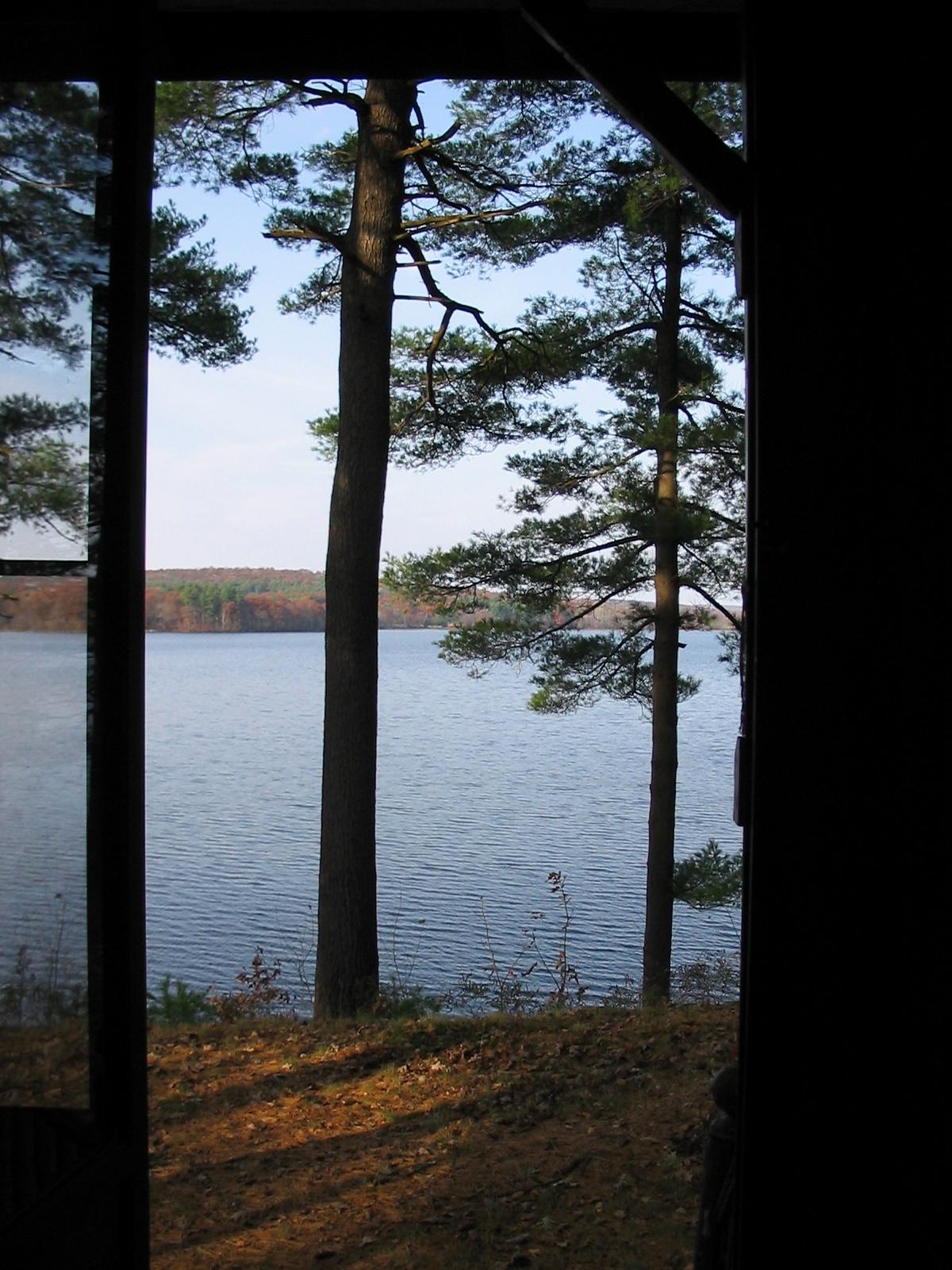
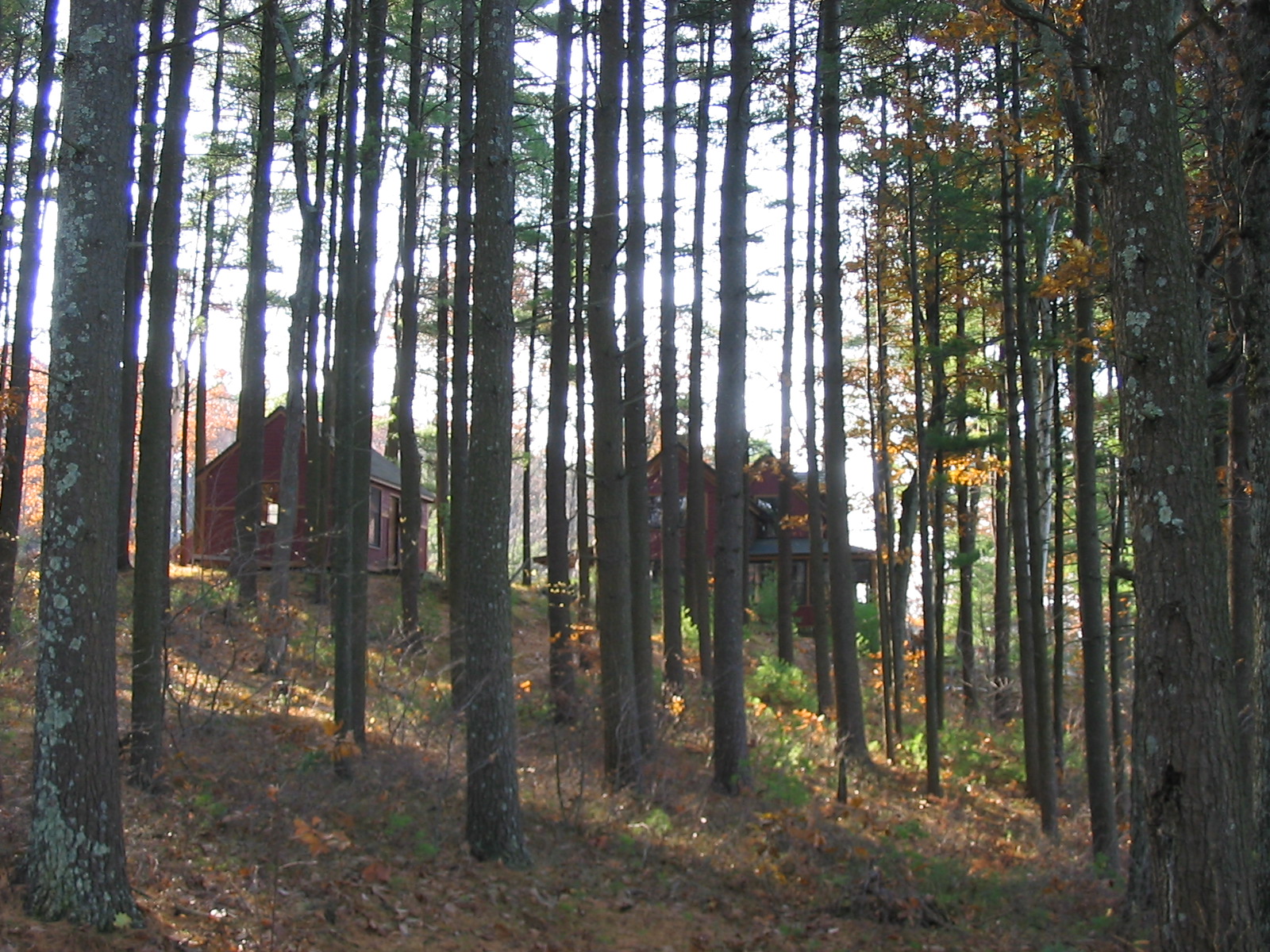
View from my window

Awarewness #twotakes #awareness #in my view

Eastern Forktail (Ischnura verticalis) young female dorsal view

Plying their Trade
View from the Visitor's Center
wild goose-2003-10-02-05

Apartment View

Price Chopper Plaza - Webster, Massachusetts

Covered Bench

Enjoying the view
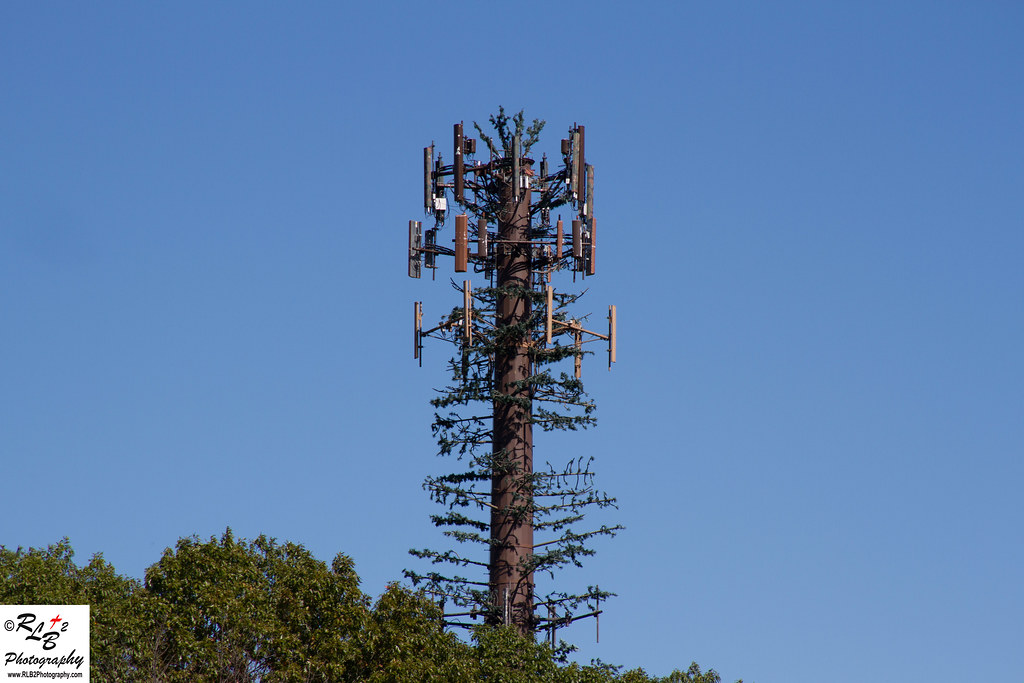
Cell Tower off the Mass Pike

LOVE this view!!

Long tailed Duck
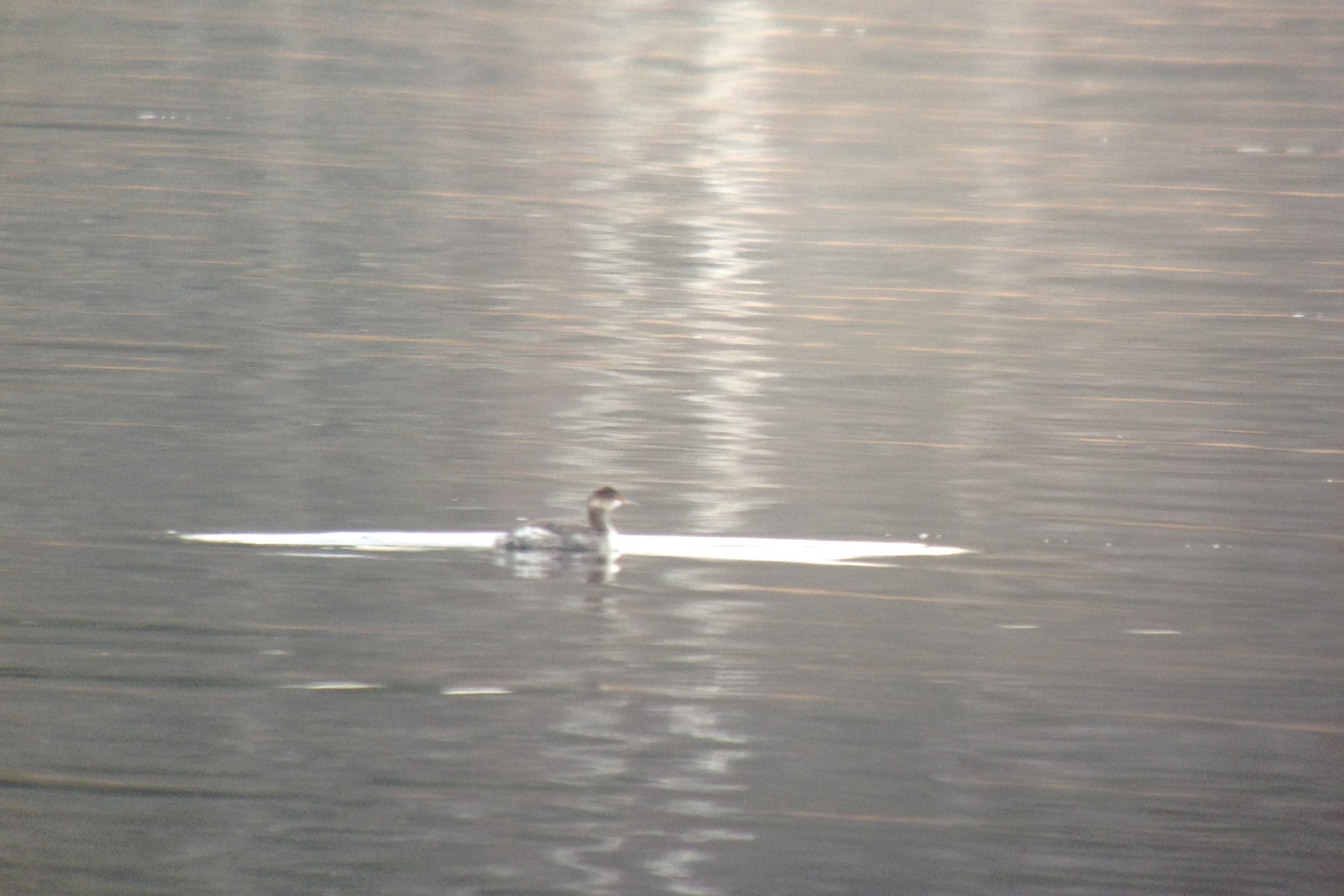
Eared Grebe with Horned Grebe
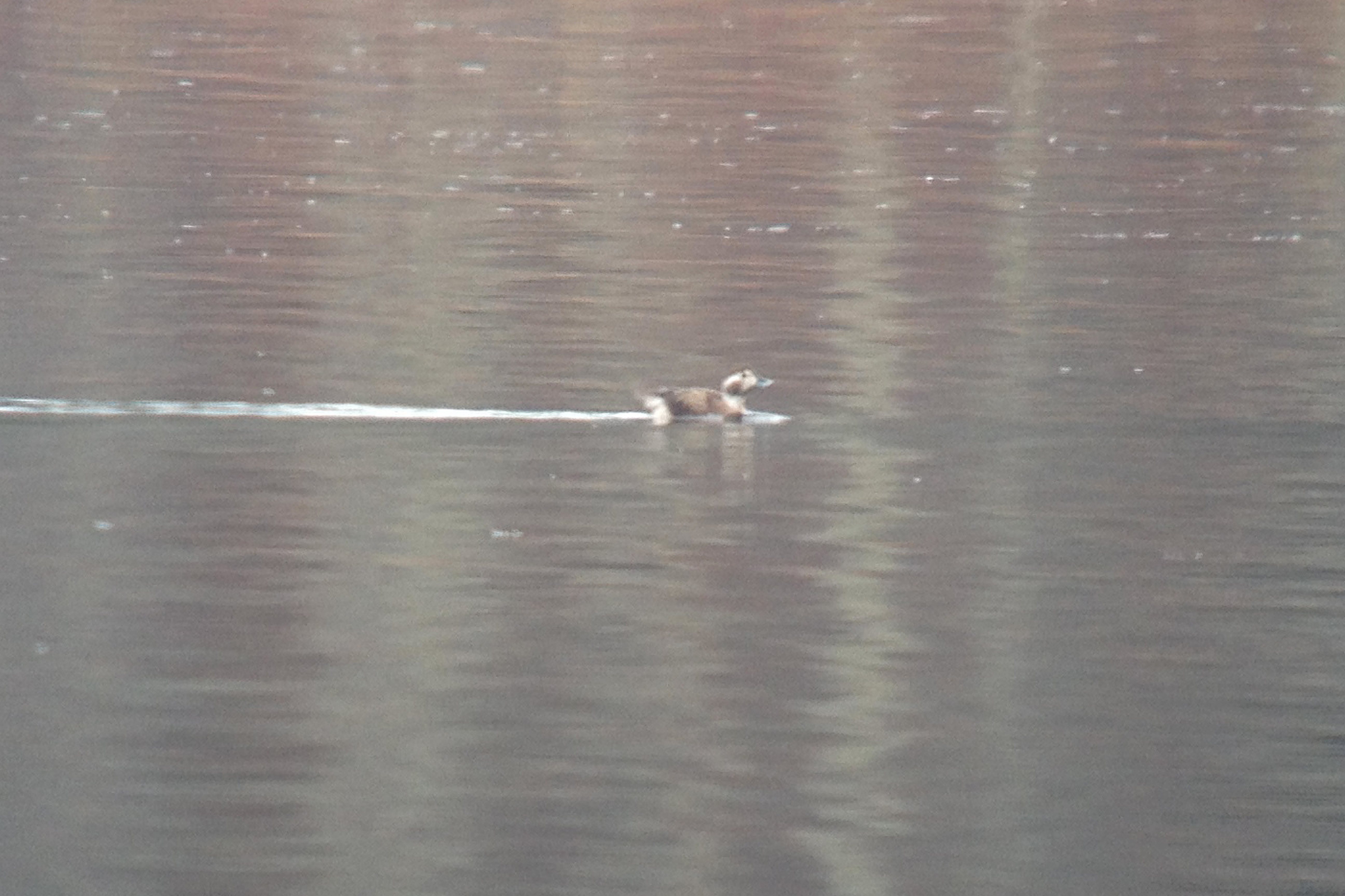
Long tailed Duck
Eared Grebe with Horned Grebe
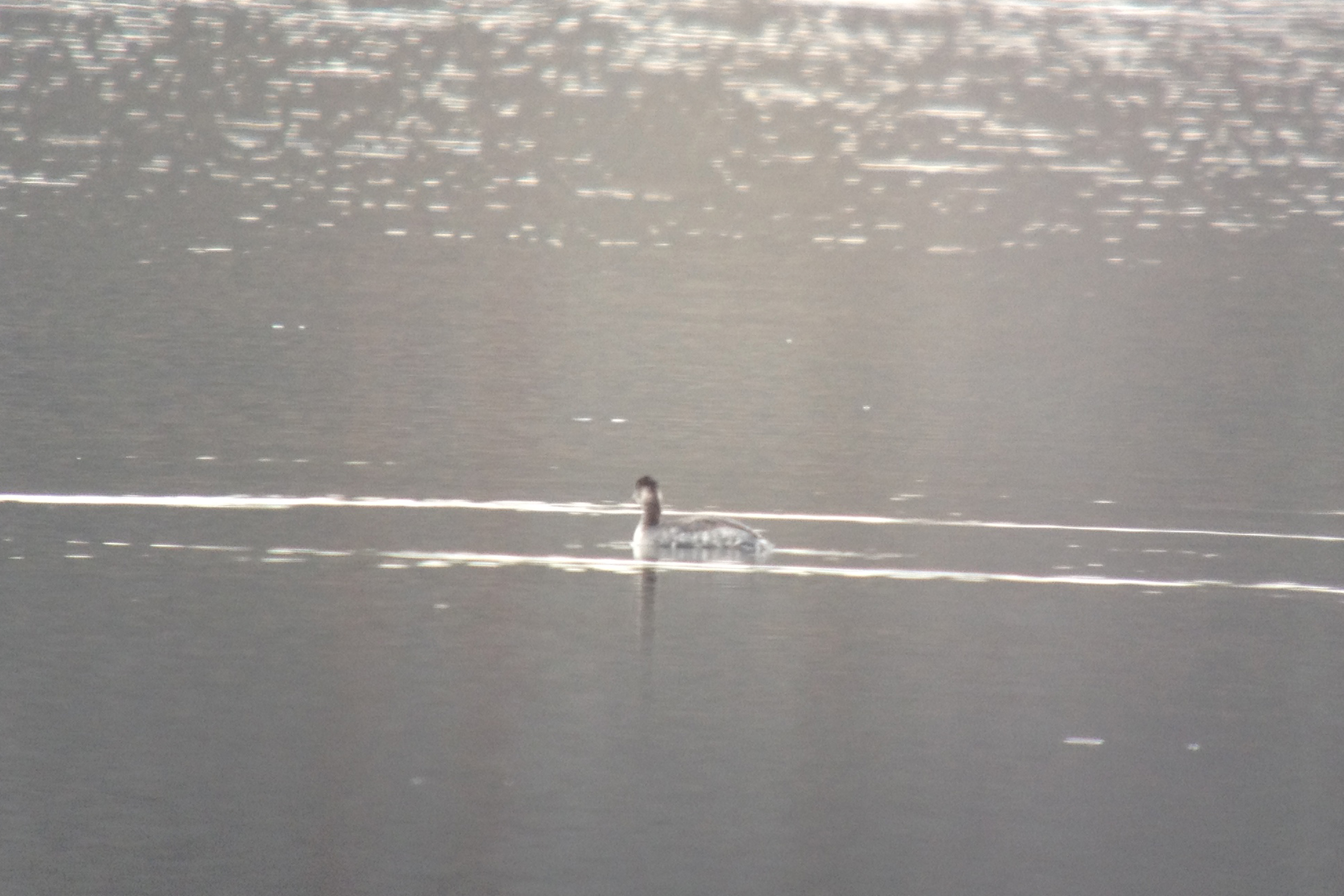
Pied billed Grebe
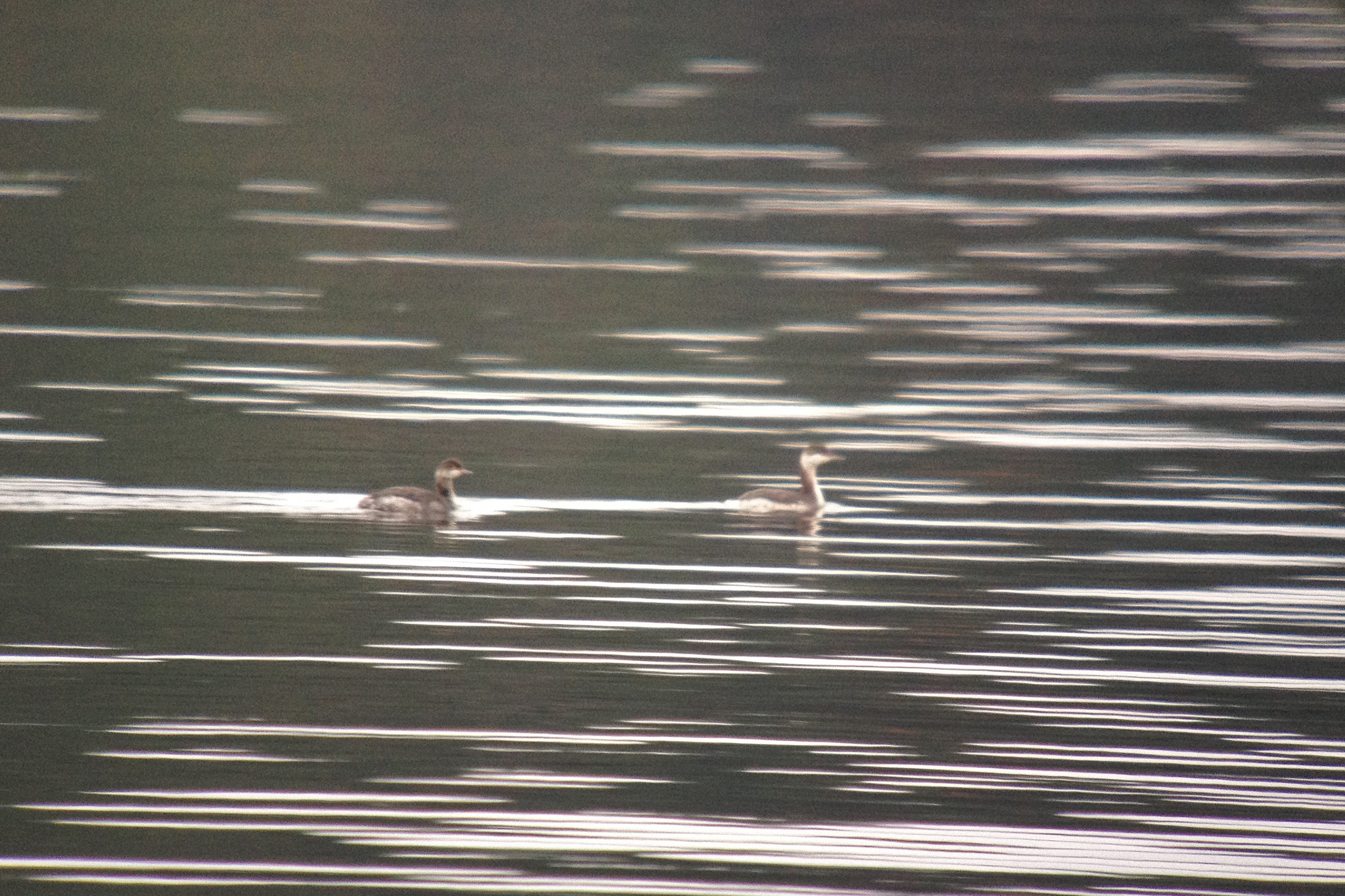
Eared Grebe with Horned Grebe
wild goose-2003-10-02-01
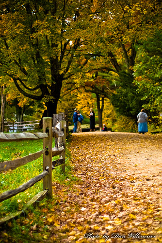
a day without rain
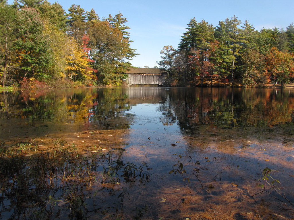
Mill Pond & Dummerston Bridge

Cider Mill Park (Worcester)

Covered bridge in the rain
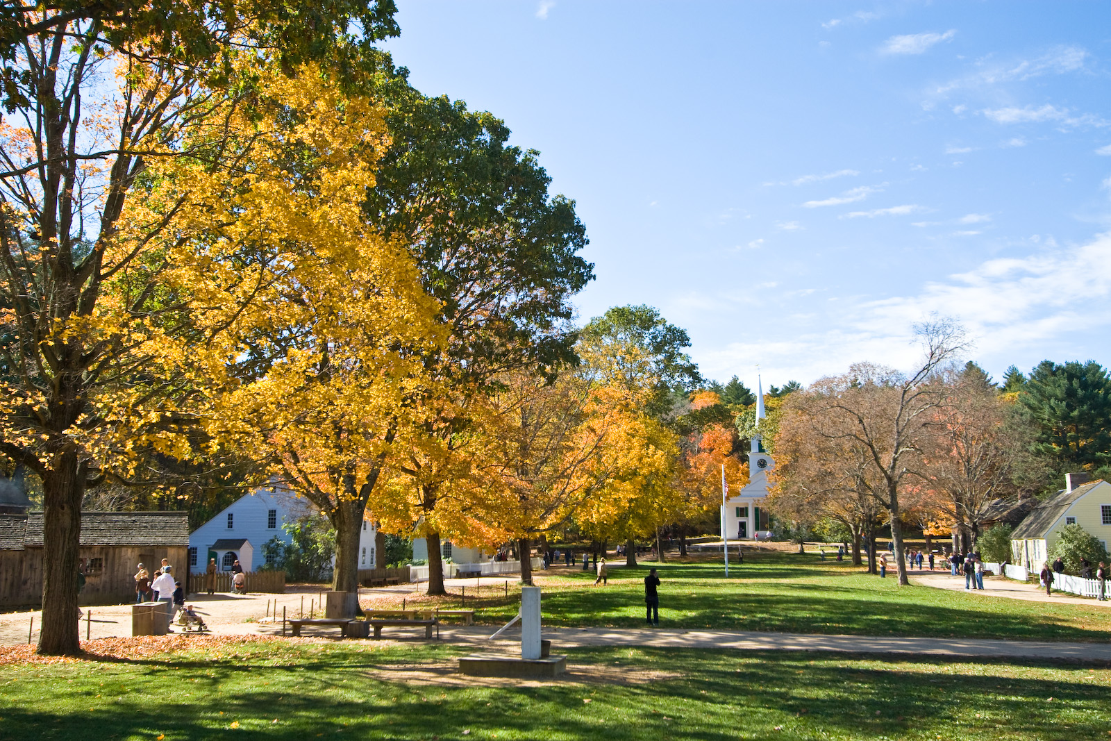
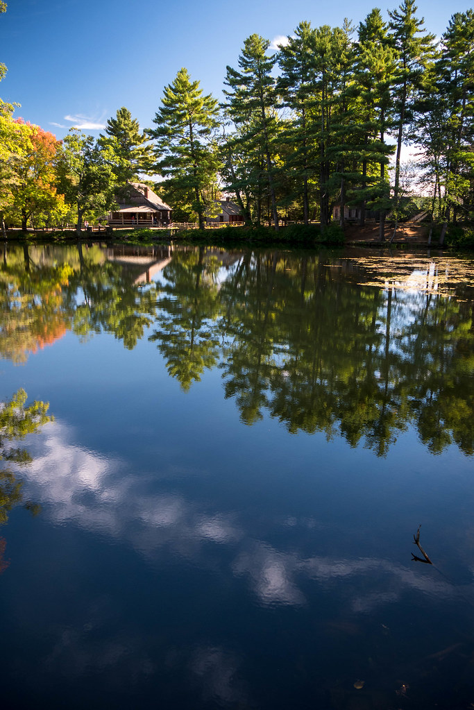
Old Sturbridge Village, Massachussetts

Frozen pond

Covered bridge

Those Crazy Kids

Another Charlton sunset
Very New England

Double Rainbow
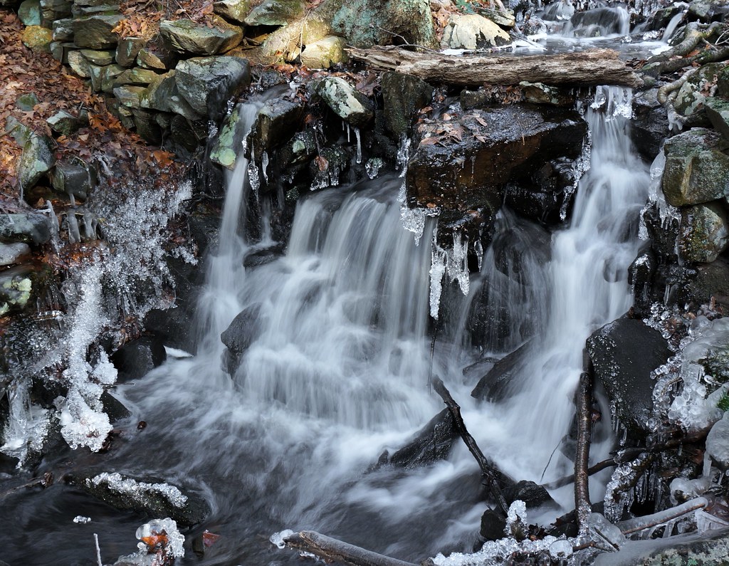
that little waterfall

Sailors take warning.

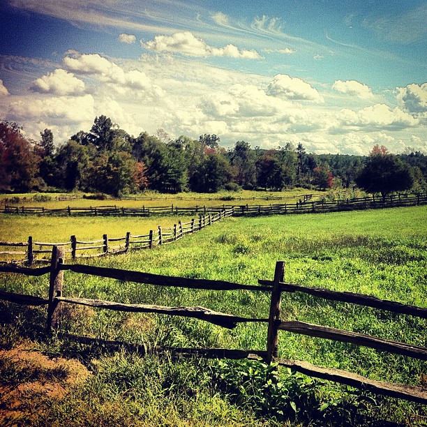
Barn in Field

Calm Day on Quaboag Pond

Old Sturbridge Village, Massachussetts

abandoned shack
05-nature-IMG 5149-2004-07-11
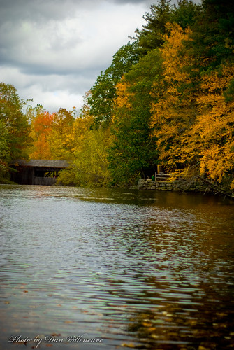
Covered Bridge and Path
Ballade au fil de l'eau (III)
Topographic Map of 31 Worcester Rd, Charlton, MA, USA
Find elevation by address:

Places near 31 Worcester Rd, Charlton, MA, USA:
Charlton City
9 H Putnam Rd
88 Masonic Home Rd
45 Osgood Rd
60 Osgood Rd
Charlton
Osgood Road
163 City Depot Rd
104 Osgood Rd
79 Little Mugget Rd
47 Dresser Hill Rd
60 N Sturbridge Rd
30 Oak Ridge Dr
508 International
20 Cemetery Rd
20 Cemetery Rd
20 Cemetery Rd
120 Northside Rd
50 Harrington Rd
60 Hiland Rd
Recent Searches:
- Elevation of Fern Rd, Whitmore, CA, USA
- Elevation of 62 Abbey St, Marshfield, MA, USA
- Elevation of Fernwood, Bradenton, FL, USA
- Elevation of Felindre, Swansea SA5 7LU, UK
- Elevation of Leyte Industrial Development Estate, Isabel, Leyte, Philippines
- Elevation of W Granada St, Tampa, FL, USA
- Elevation of Pykes Down, Ivybridge PL21 0BY, UK
- Elevation of Jalan Senandin, Lutong, Miri, Sarawak, Malaysia
- Elevation of Bilohirs'k
- Elevation of 30 Oak Lawn Dr, Barkhamsted, CT, USA