Elevation of 31 Wallace Dr, Florissant, CO, USA
Location: United States > Colorado > Florissant >
Longitude: -105.32137
Latitude: 38.943465
Elevation: 2516m / 8255feet
Barometric Pressure: 75KPa
Elevation Map:
Satellite Map:
Related Photos:
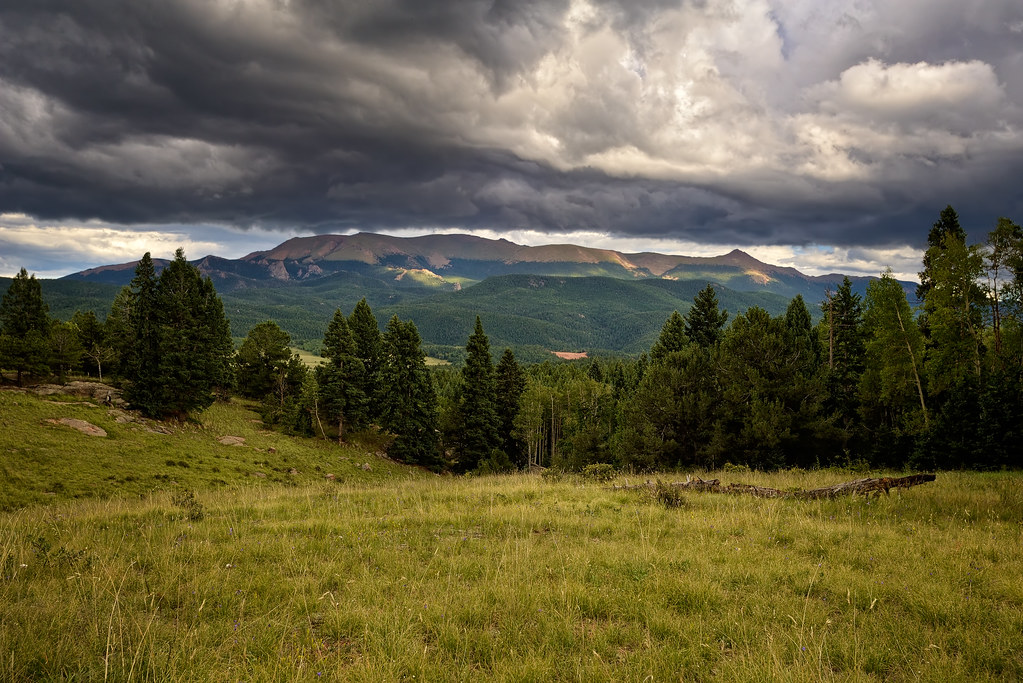
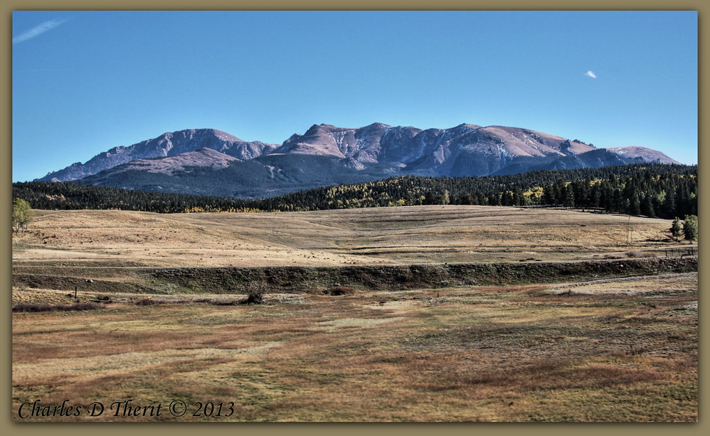
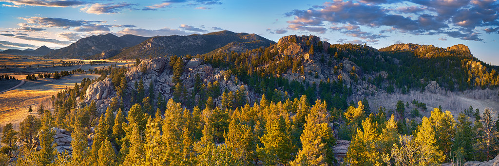
Pike's Peak Monsoonal Flow
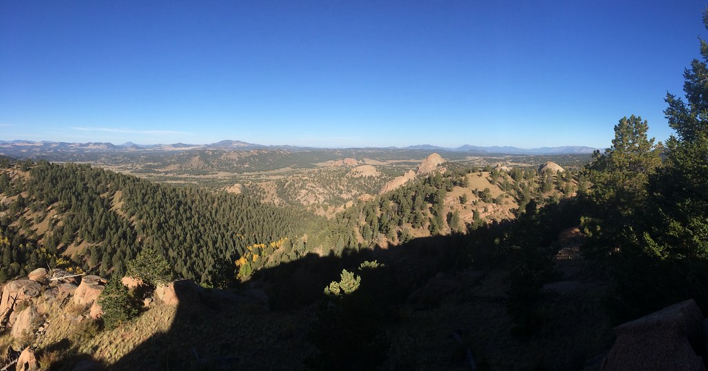
Picture from Dome Rock State Wildlife Area
Picture from Dome Rock State Wildlife Area
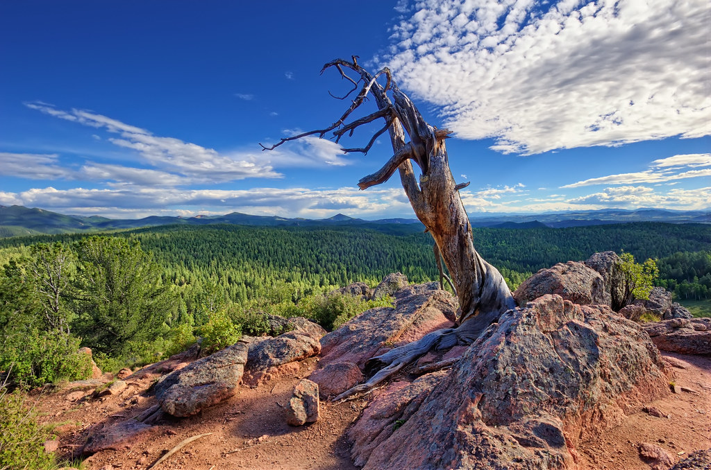
Ancient Sentinel Lookout
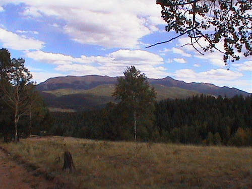
Pike's Peak from Hwy 24

Mueller State Park: Montane Grassland to Ponderosa Pine
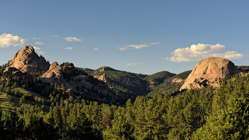
Dome Rock State Wildlife Area

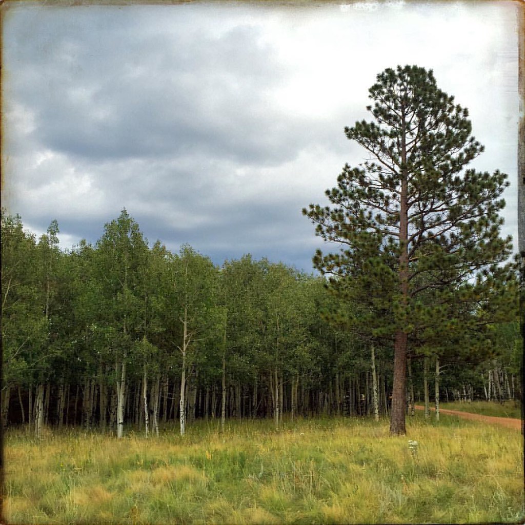
Aspen Grove
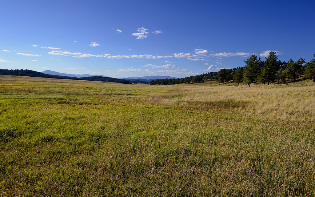
Montane Grasslands of Florissant Fossil Beds National Monument

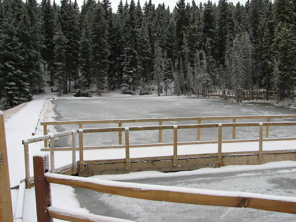
Water falling from the sky

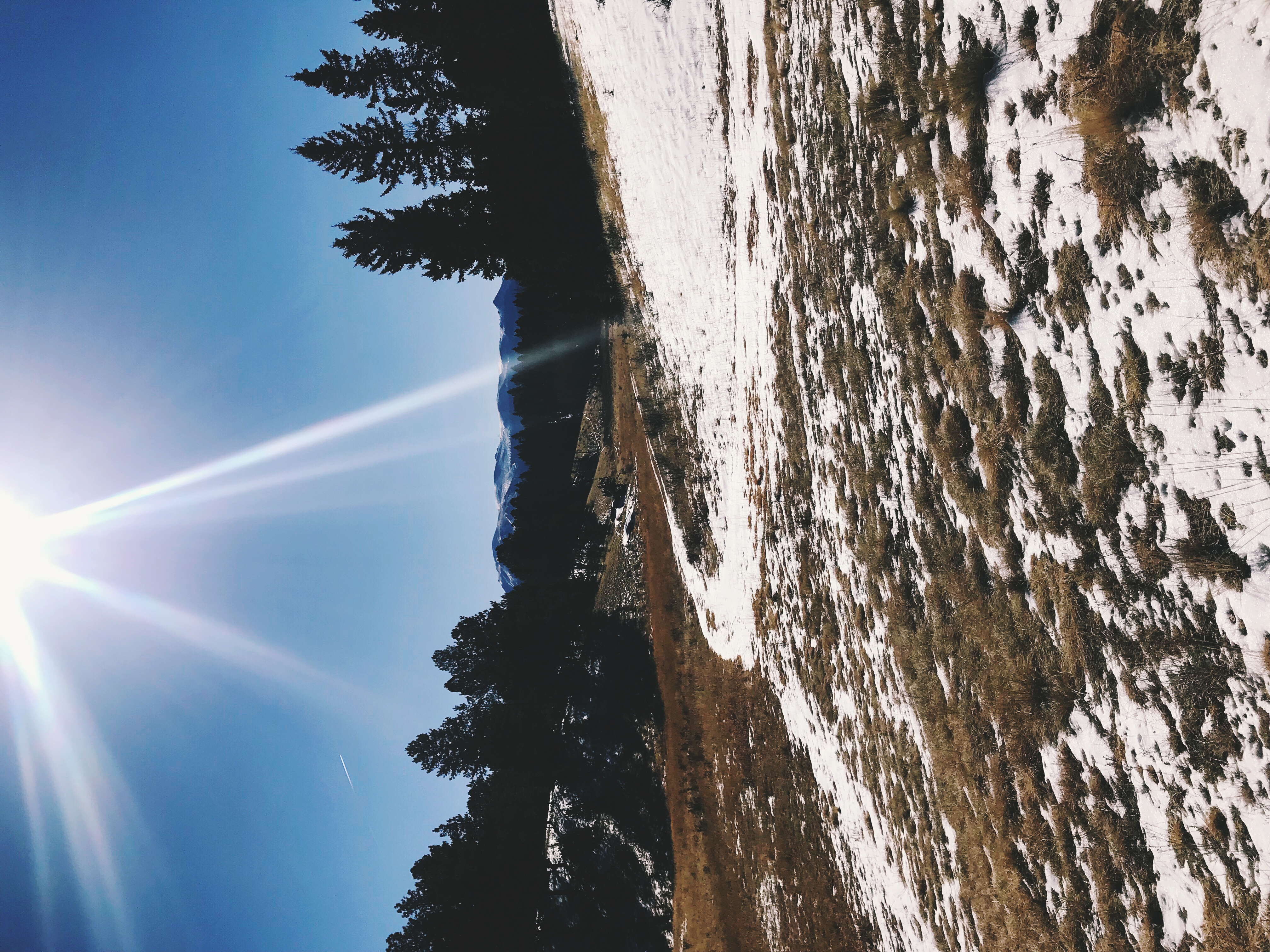
Higher than the Highest
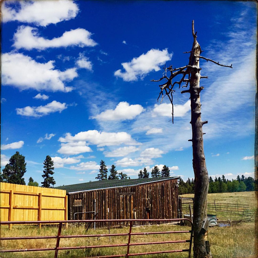
B-Lazy-M Ranch

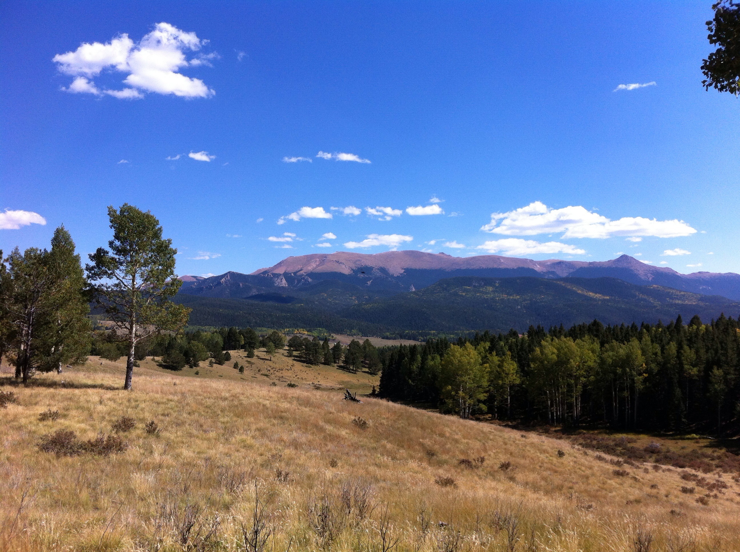
The Rockies
B-Lazy-M Ranch
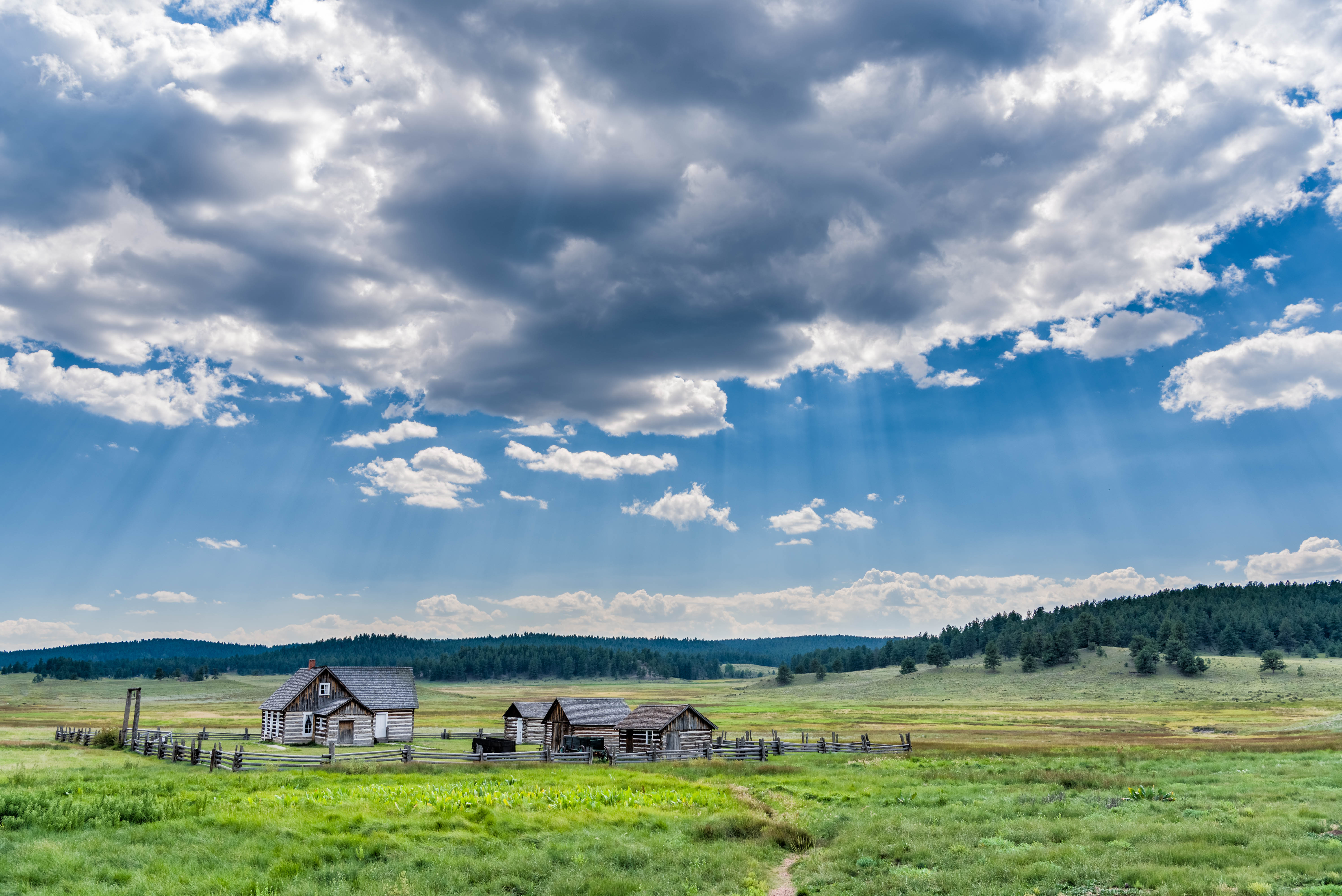
Hornbek Homestead

Lynn/KC0YQF enjoying goat watching and the views
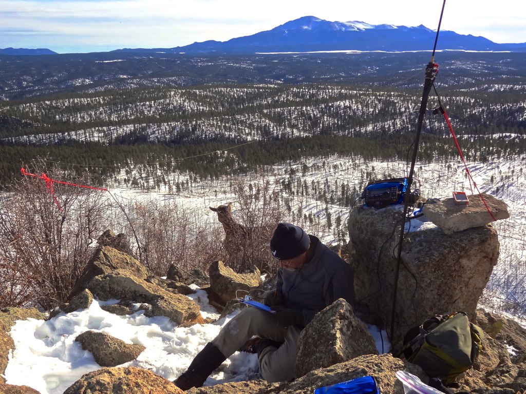
Only via SOTA can you experience a ham shack view like this
Mueller State Park, Camping, Aug 2002
Camping - Mueller
The view on our hike :)

Mueller State Park
his commemorative daylight
Dome Rock and Summer Clouds

Dome Rock Hike-HDR
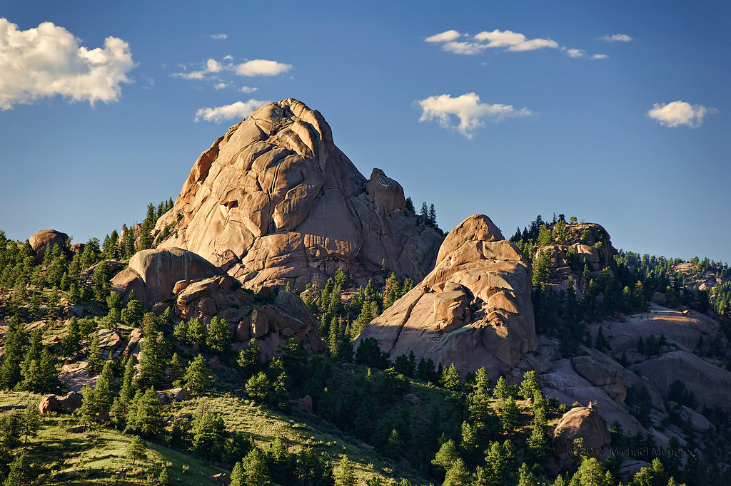
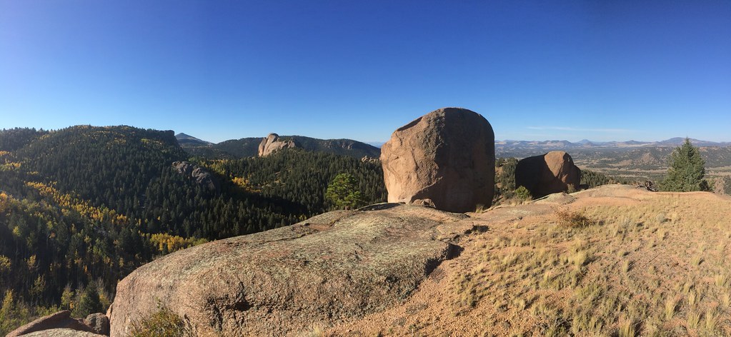
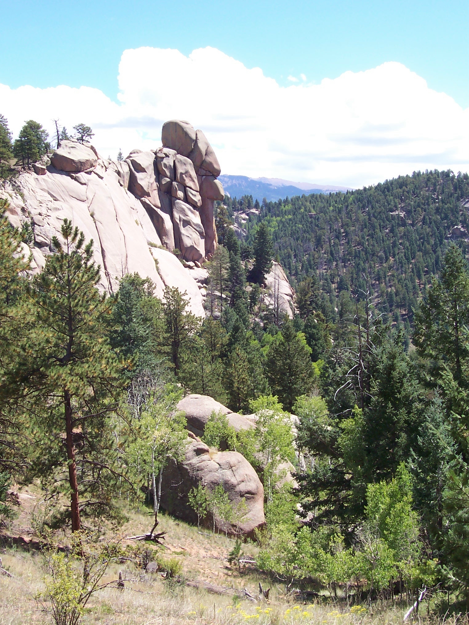
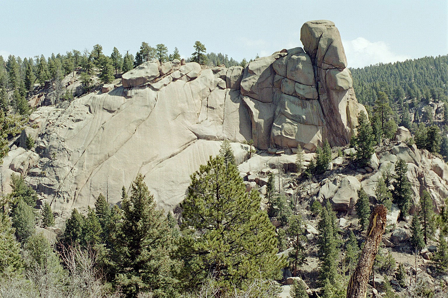
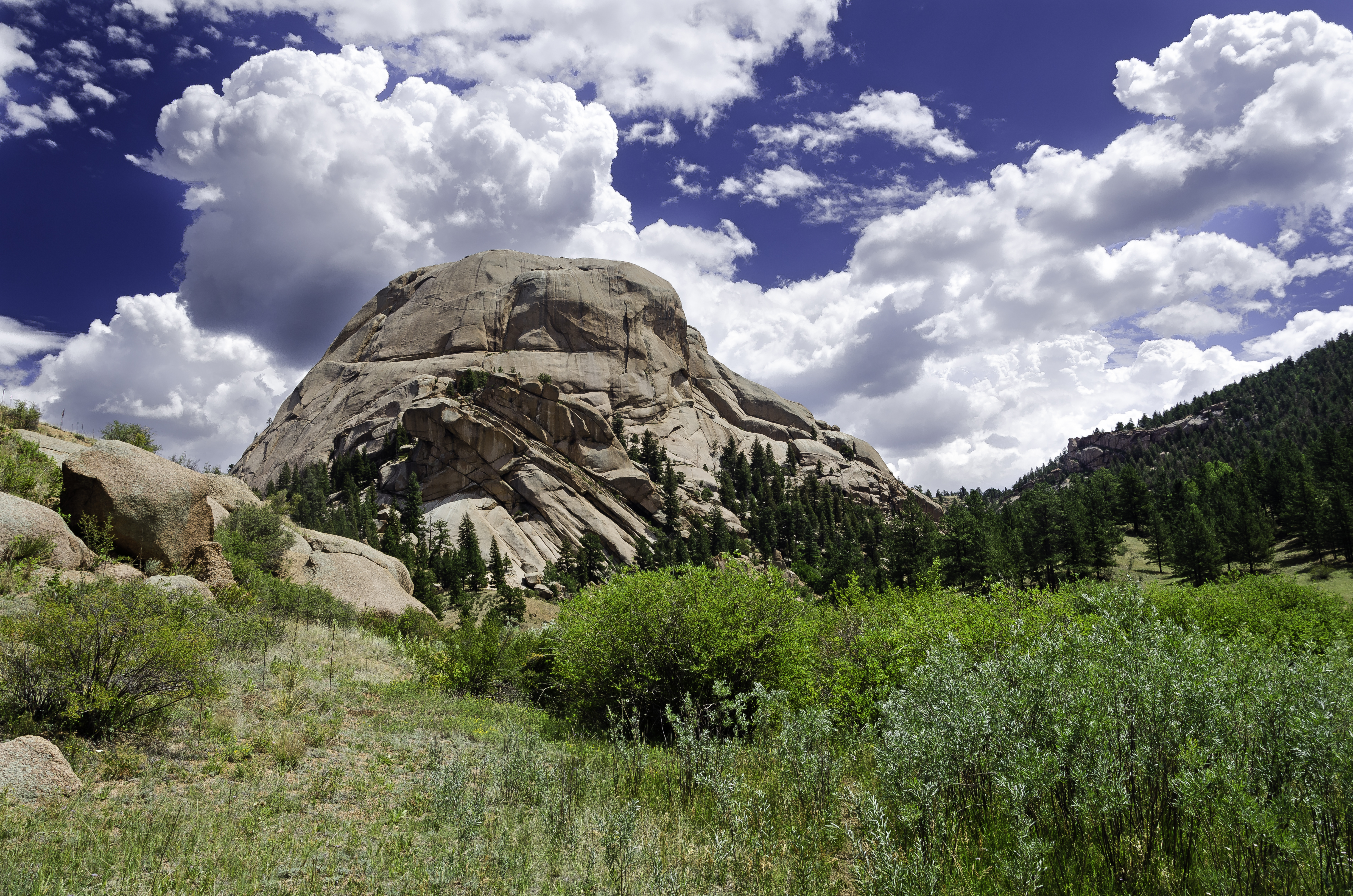
Pikes Peak Granite Dome
Let the light shine on you!!!

The Colors of Winter
Divide, CO - August 2015

Midnight Along the South Platte River

Aspin Trail
Divide, CO - August 2015
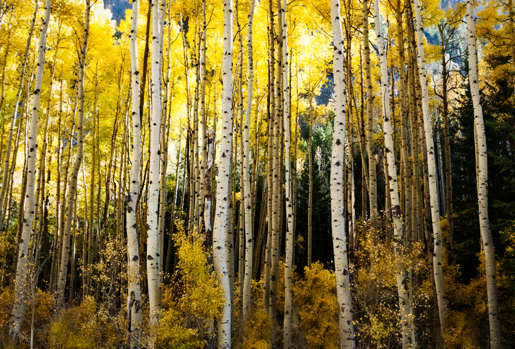
Oh The Yellow!
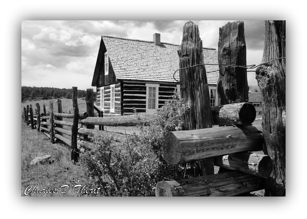
Adeline Hornbek Homestead
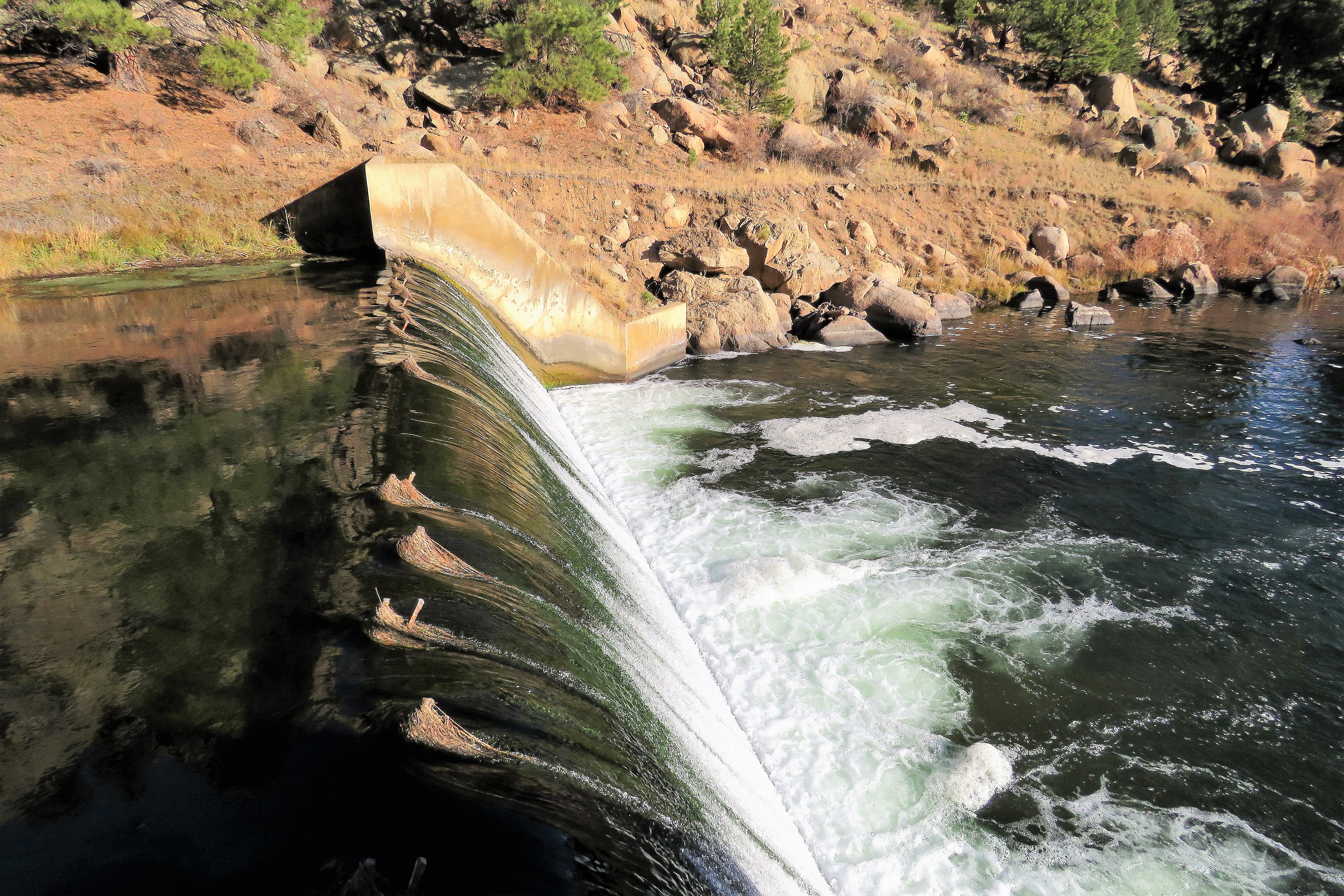
Water Over the Dam
Topographic Map of 31 Wallace Dr, Florissant, CO, USA
Find elevation by address:

Places near 31 Wallace Dr, Florissant, CO, USA:
367 Phoebus Dr
1329 County Rd 46
113 Blue Mountain Dr
39858 Us-24
154 Peak View Cir
1053 Circle Dr
Florissant
170 Ute Trail
2000 Old Stage Rd
361 Co Rd 45
361 Co Rd 45
361 Crystal Peak Rd
75 Crystal Peak Rd
55 Crystal Peak Dr
111 Crystal Peak Dr
Lake George
160 Comanche Ave
40230 Us-24
2852 Lakeview Dr
1910 Wildhorn Rd
Recent Searches:
- Elevation of Congressional Dr, Stevensville, MD, USA
- Elevation of Bellview Rd, McLean, VA, USA
- Elevation of Stage Island Rd, Chatham, MA, USA
- Elevation of Shibuya Scramble Crossing, 21 Udagawacho, Shibuya City, Tokyo -, Japan
- Elevation of Jadagoniai, Kaunas District Municipality, Lithuania
- Elevation of Pagonija rock, Kranto 7-oji g. 8"N, Kaunas, Lithuania
- Elevation of Co Rd 87, Jamestown, CO, USA
- Elevation of Tenjo, Cundinamarca, Colombia
- Elevation of Côte-des-Neiges, Montreal, QC H4A 3J6, Canada
- Elevation of Bobcat Dr, Helena, MT, USA